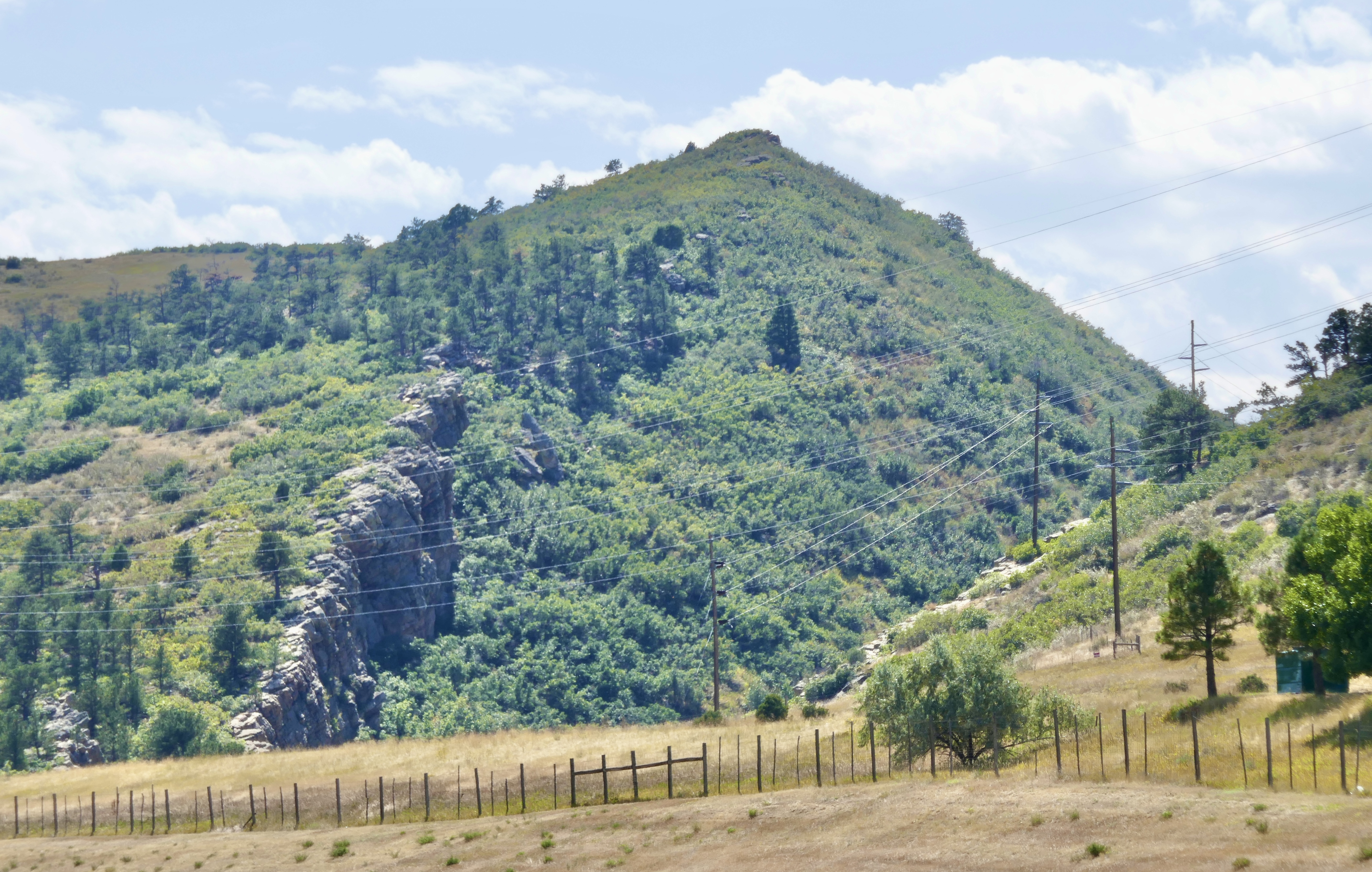
I recently found myself feeling all wistful and nostalgic about the Anza homestead, even though I have zero desire to ever go back there. The feeling clung for days. Eventually I found myself reading through all those old Anza blog posts, remembering things I hadn’t thought about in years. And it was painful, and I still didn’t know why. Posts like this one squeezed my heart extra hard.
And finally I realized: it’s because the story shouldn’t have turned out this way. Luke and Elizabeth deserved so much better than the hands they were dealt. All that potential, all that talent, even genius. Luke should have been an engineer or a city planner. Elizabeth should be captivating audiences with her bestselling graphic novels or claymation films. Instead they got flung into an economic dystopia that eats its young, a system that is arranged specifically for the purpose of crushing creative forces into interchangeable cogs.
Elizabeth has retreated, maybe permanently, from the demands of city life. That wouldn’t be so terrible, except that the only jobs available near her are the sort of minwage service industry slogs that offer no ladder to a better outcome.
Luke has gone the other way. The quiet stability of life in Aurora feels like shackles to him. He chafes for a more advanced civilization, a more sophisticated populace, all of the risks and opportunities that come with big-city living. He will move on as soon as he can make it happen.
Reflecting on all of this made my heart very sad for a few long, achingly regretful days.
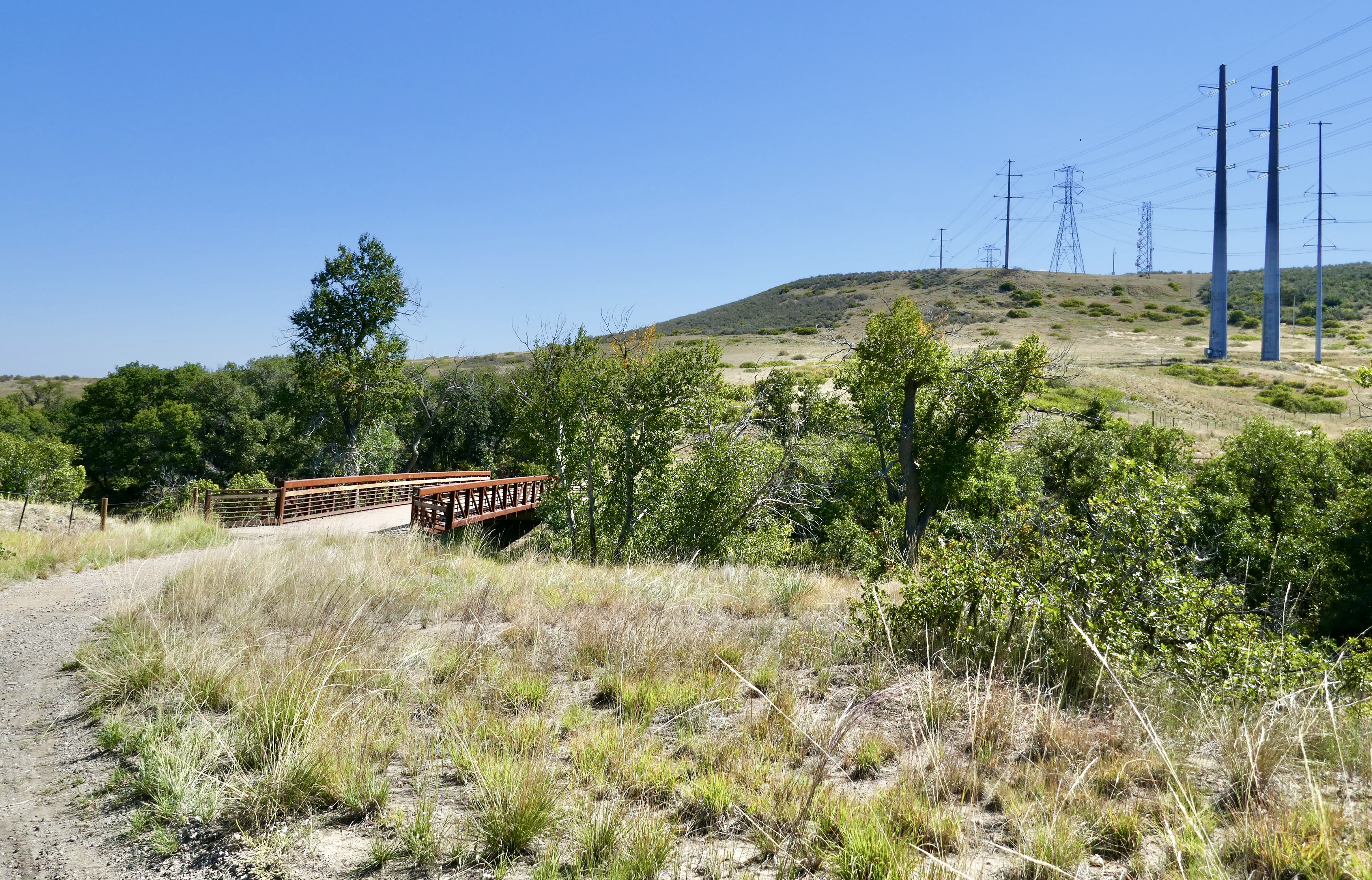
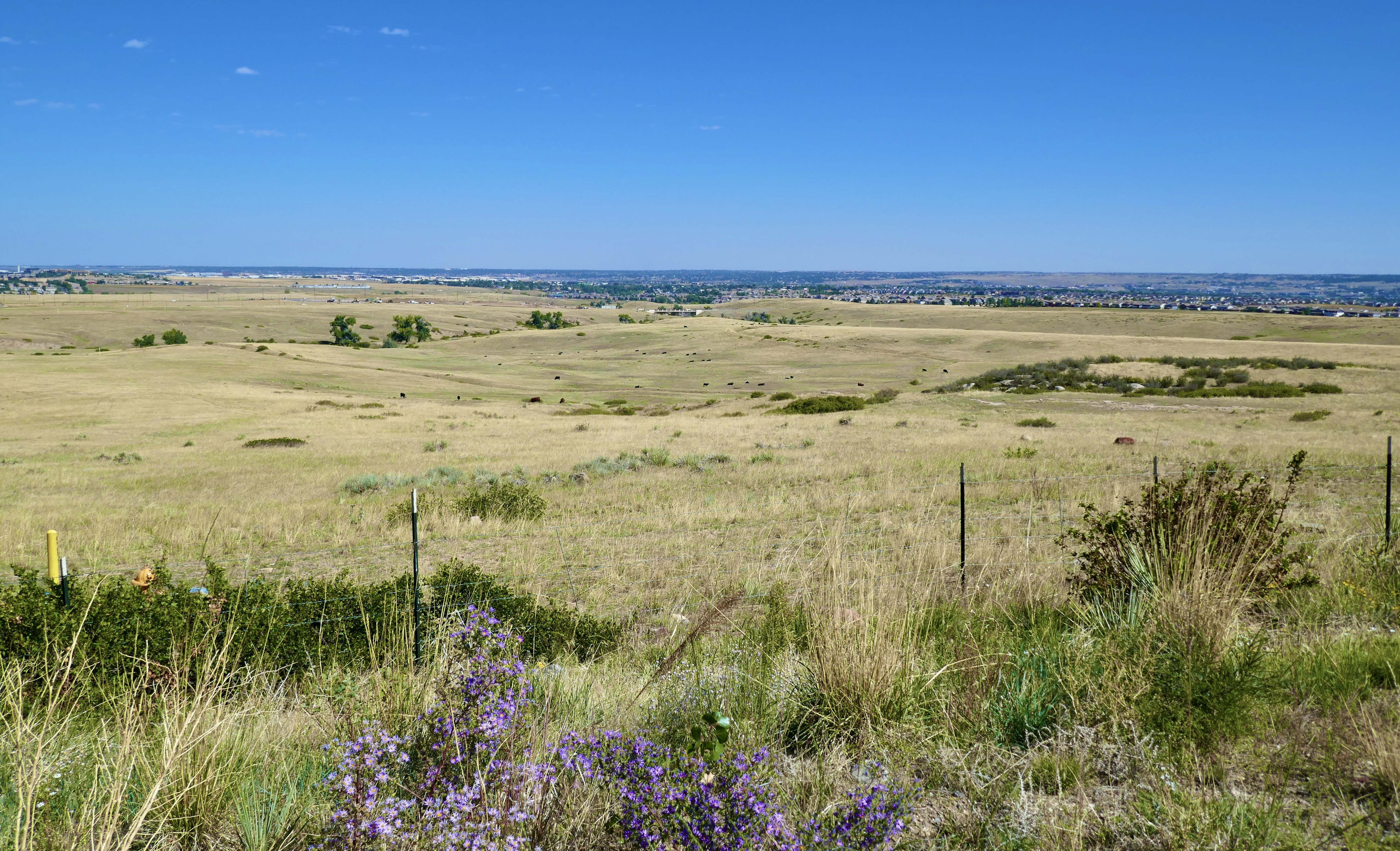
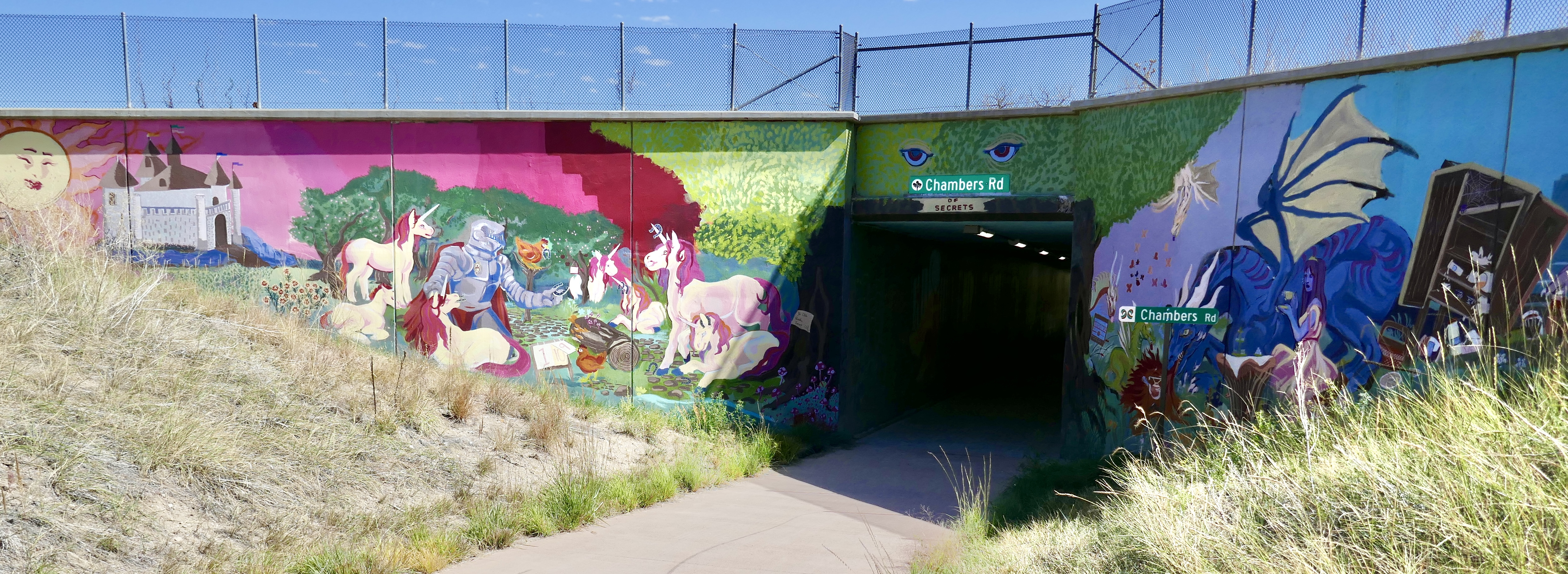
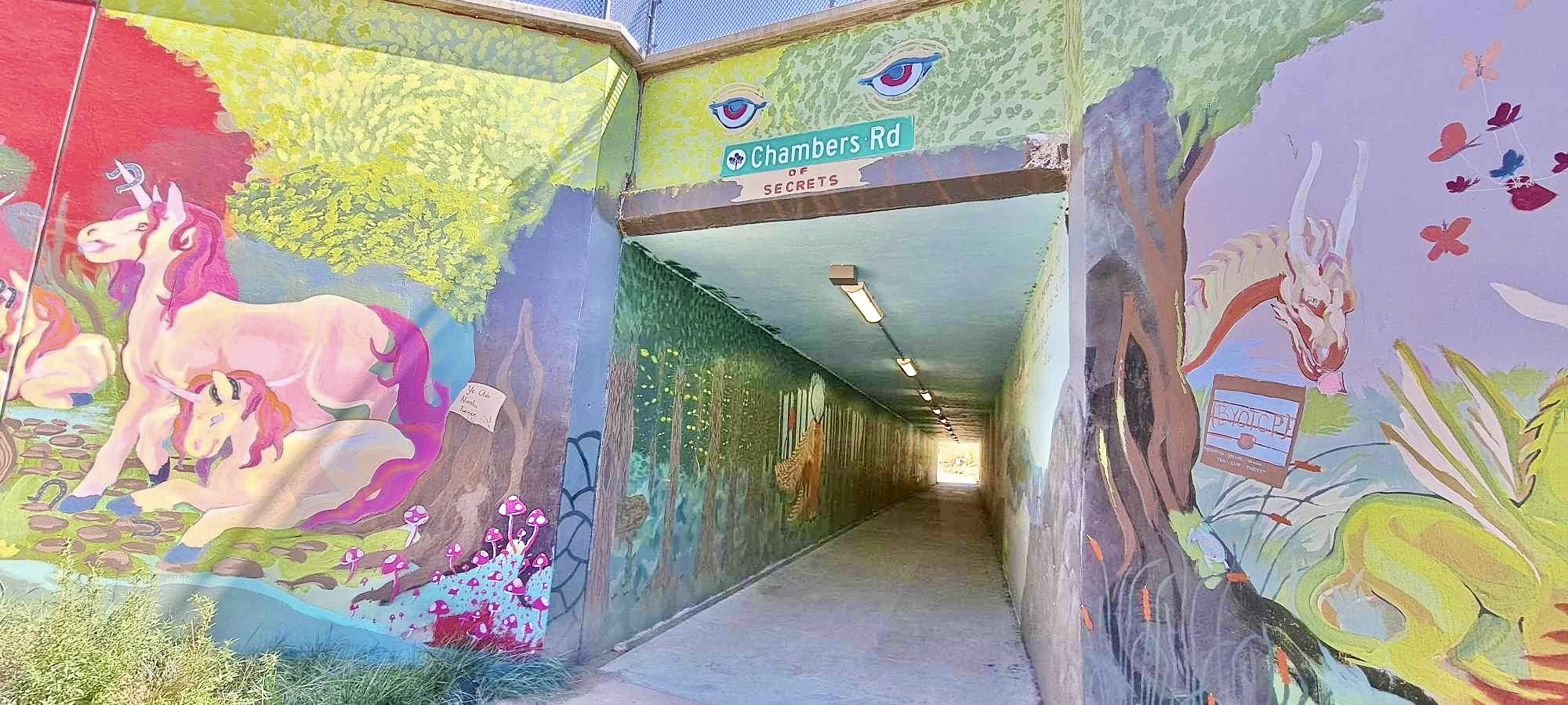
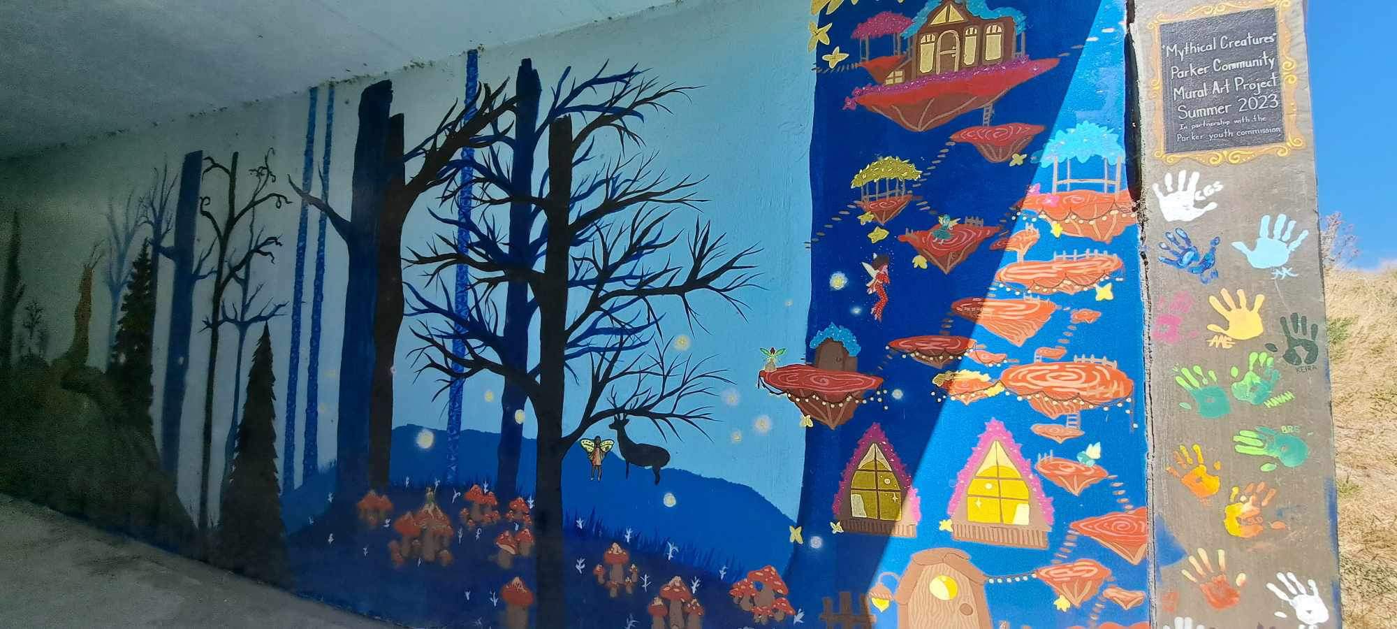
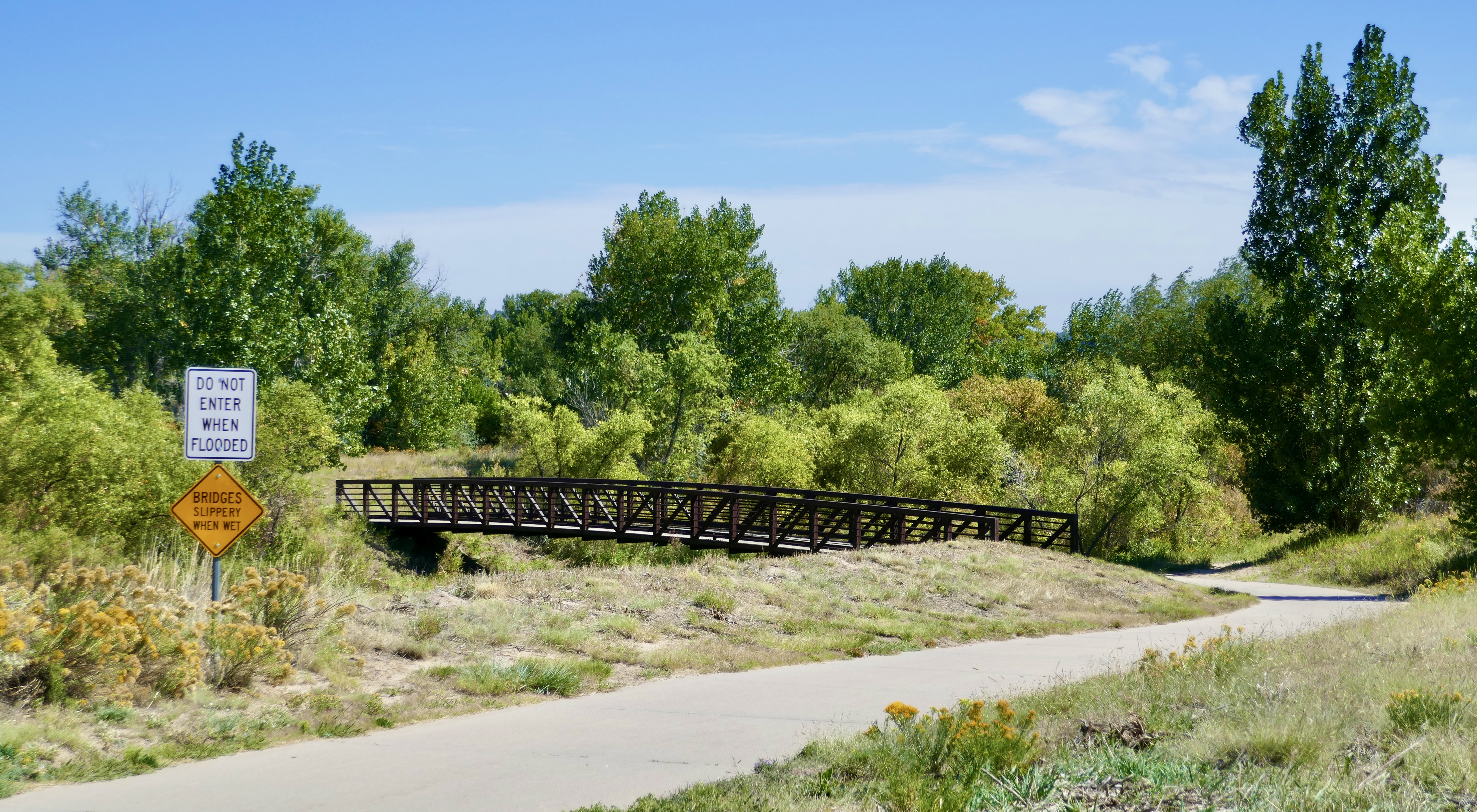
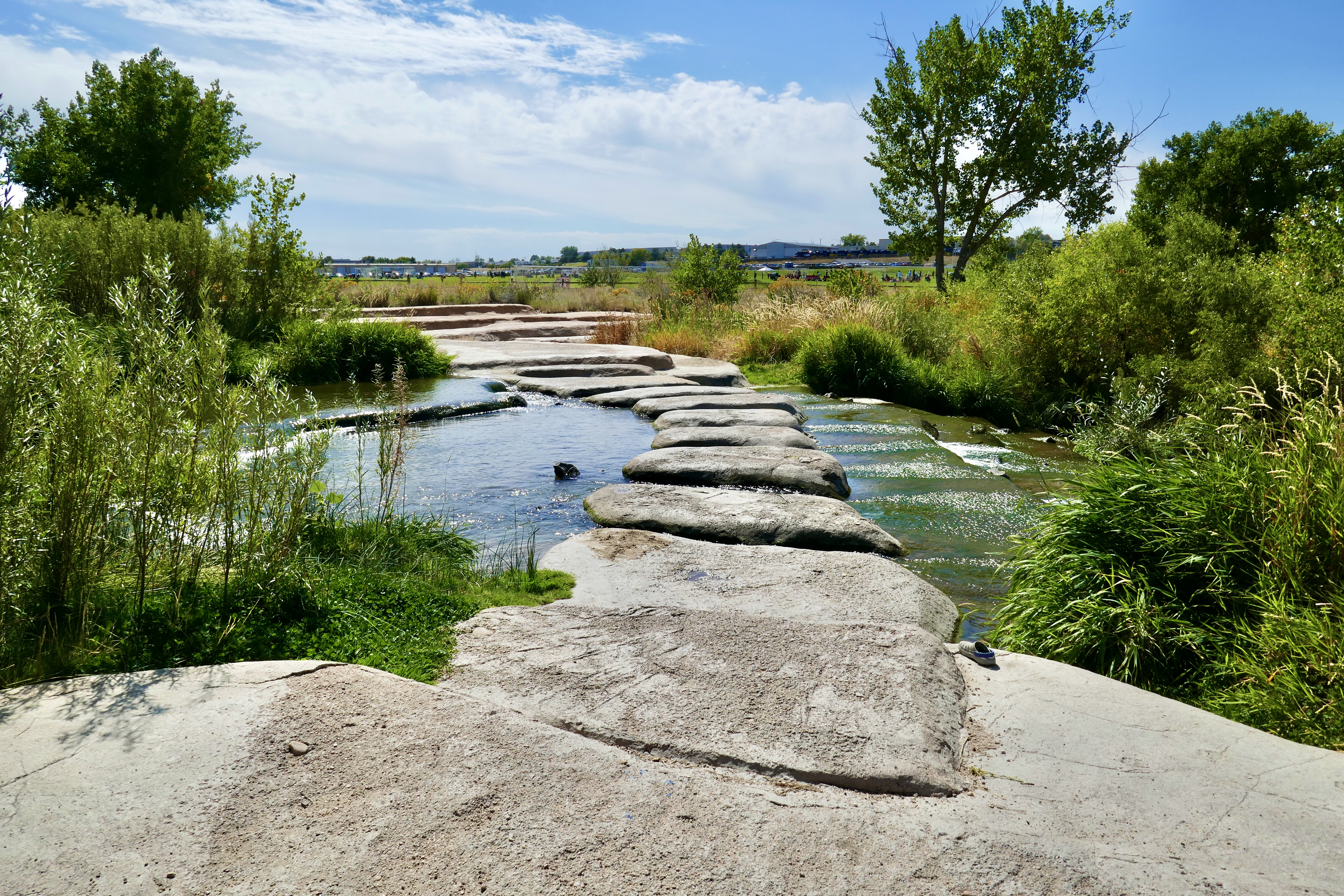
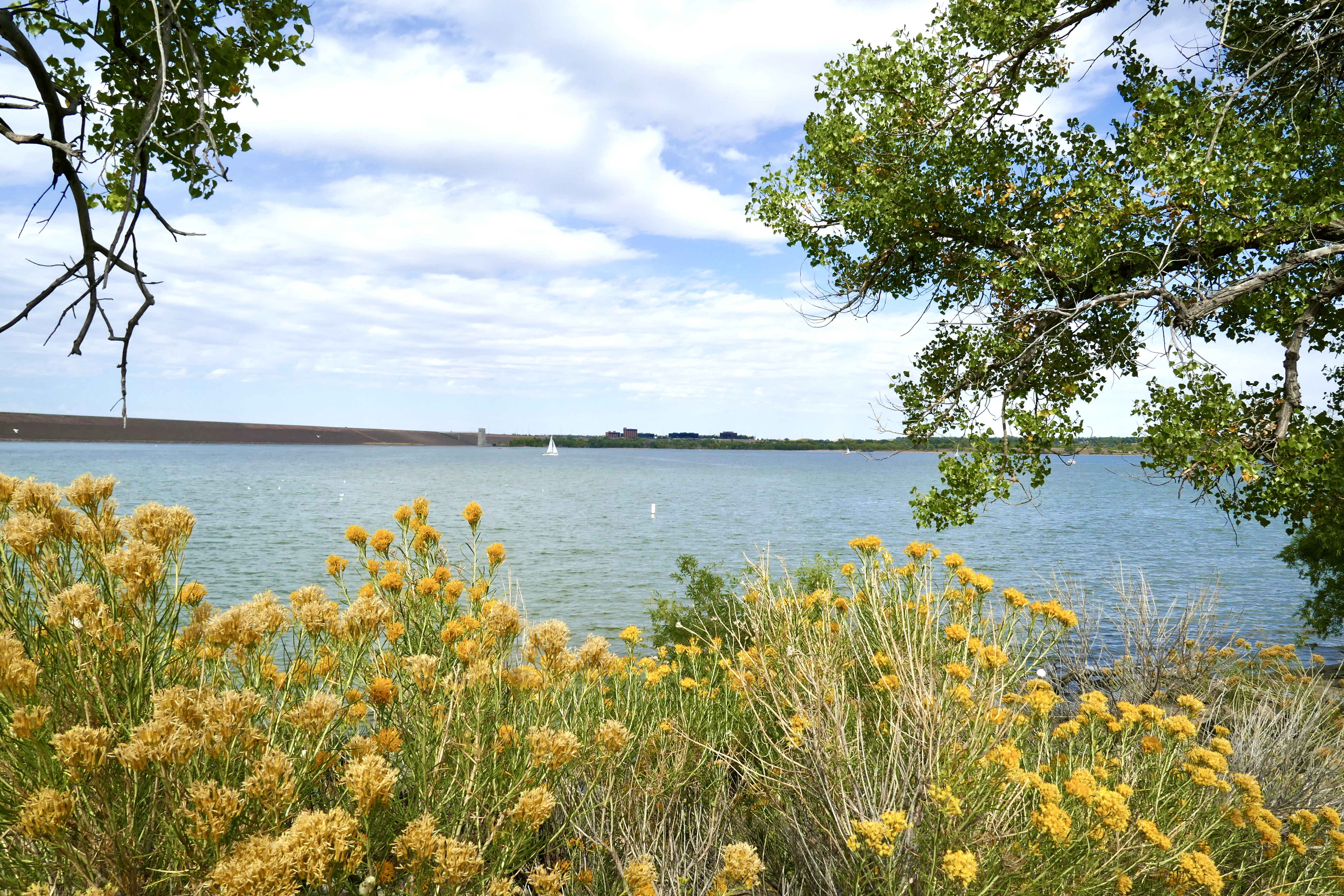
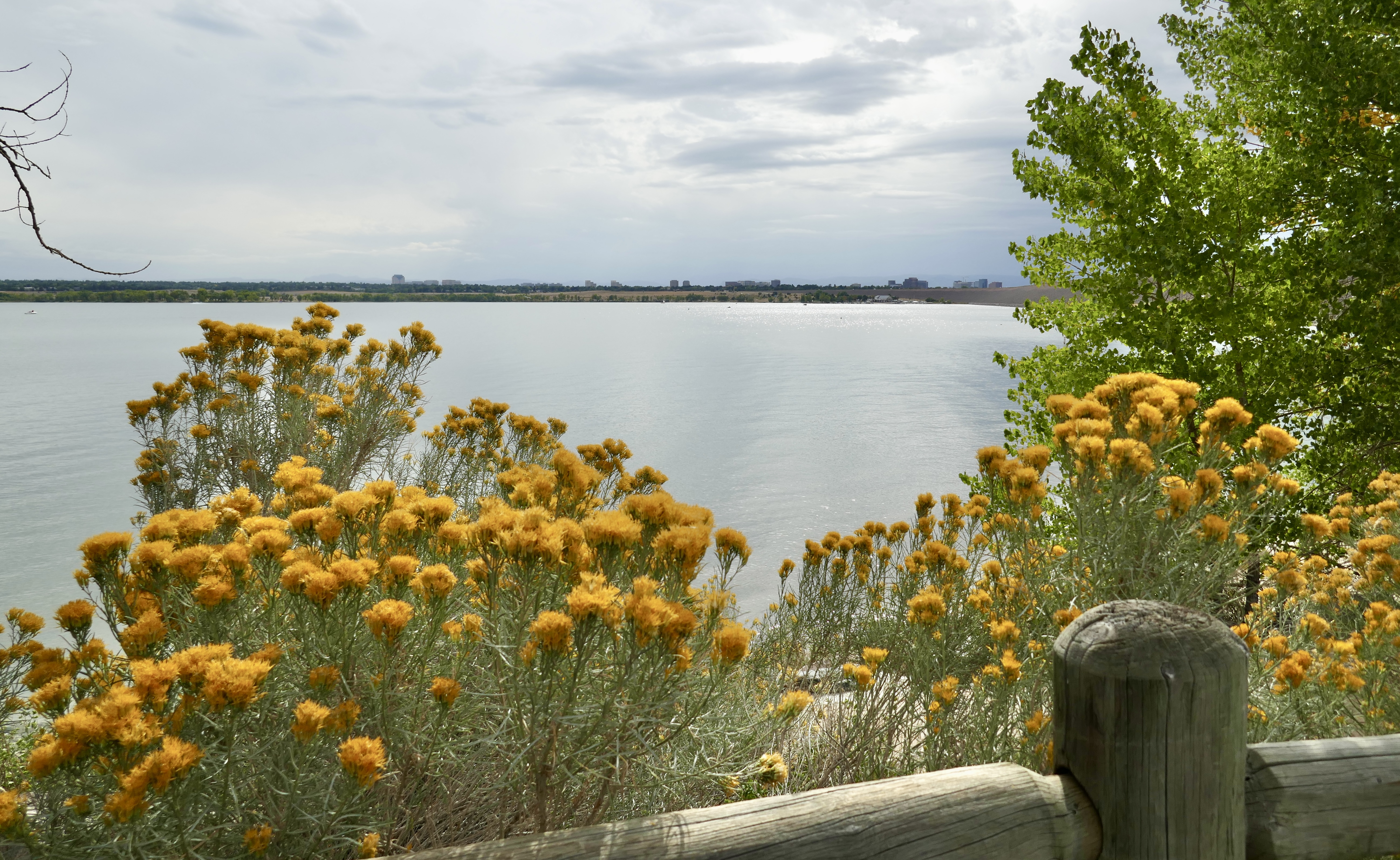
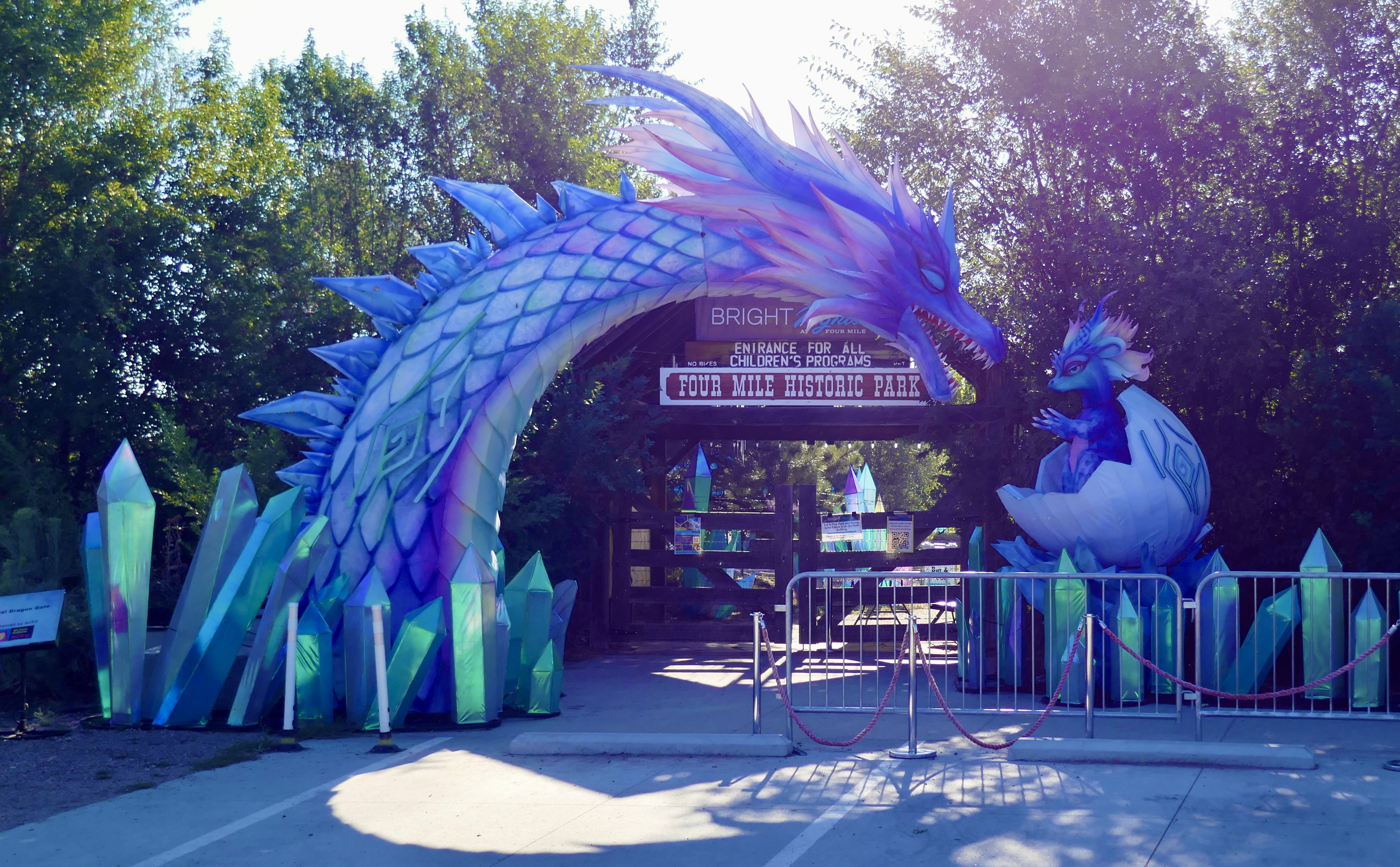
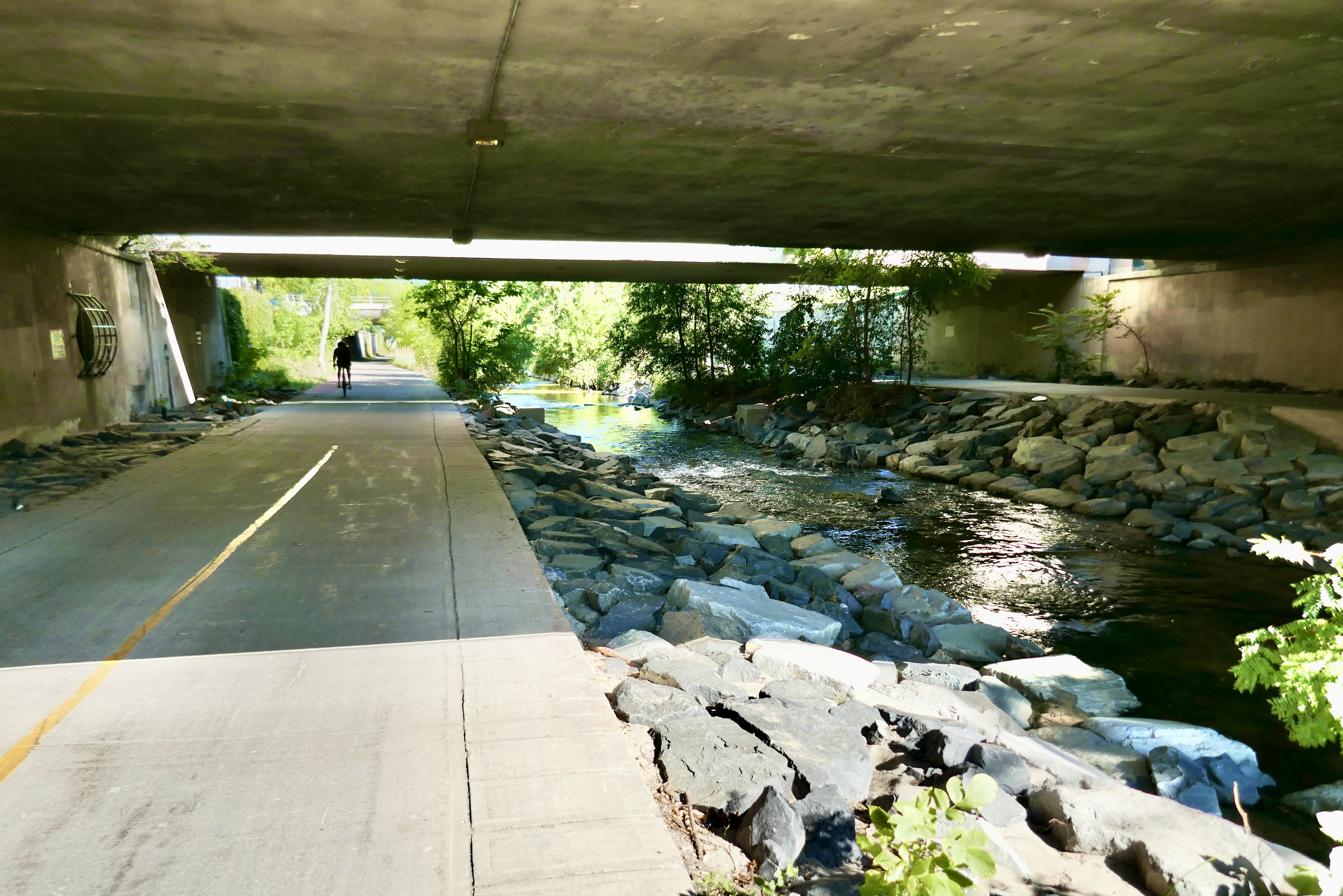
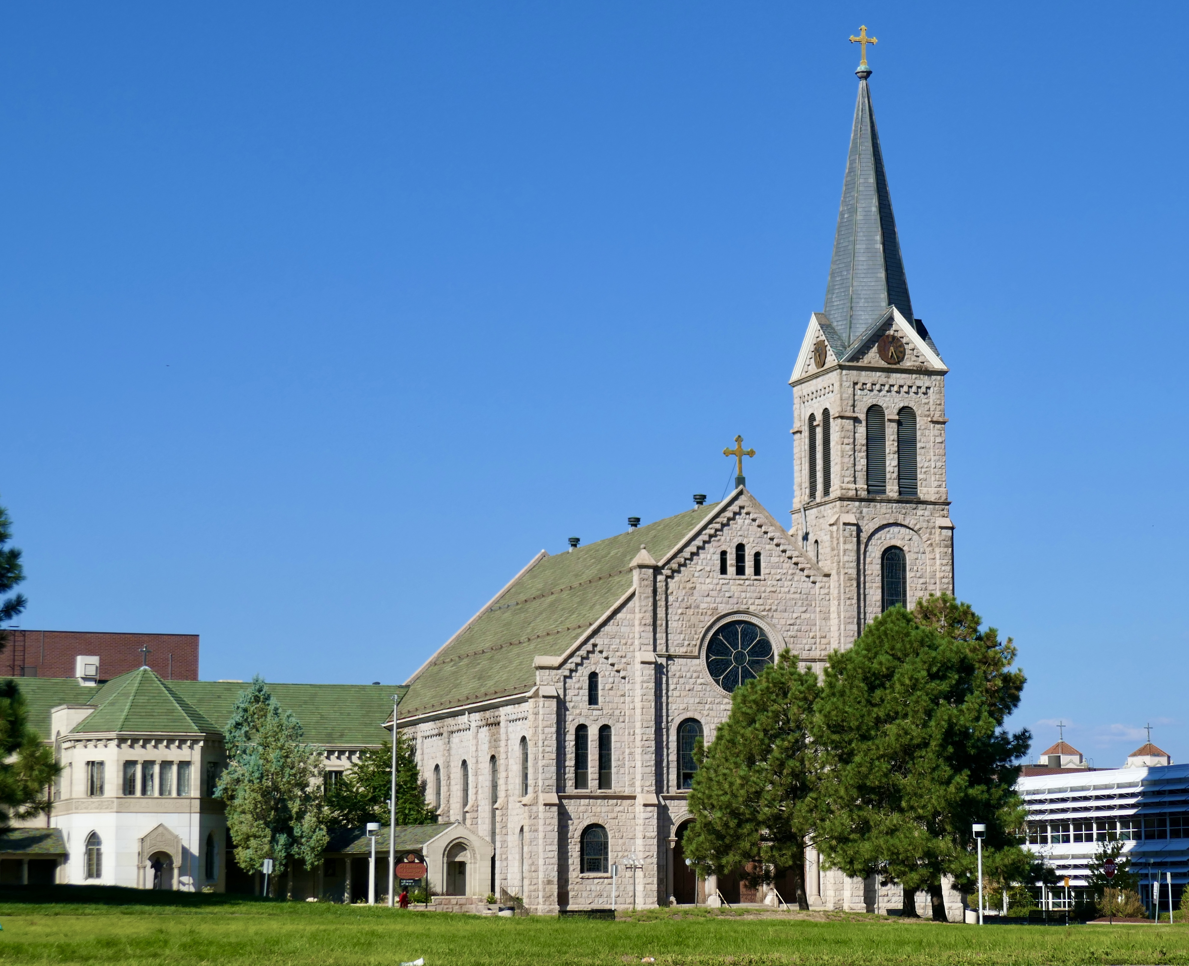
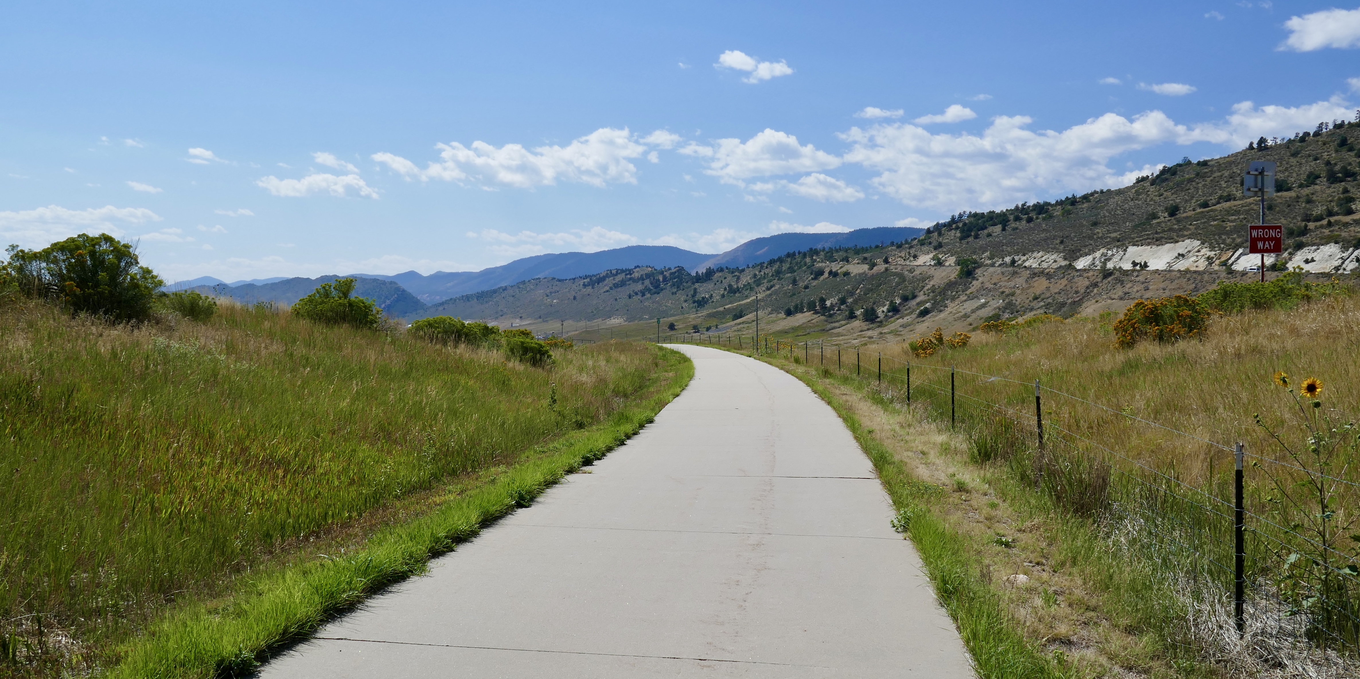
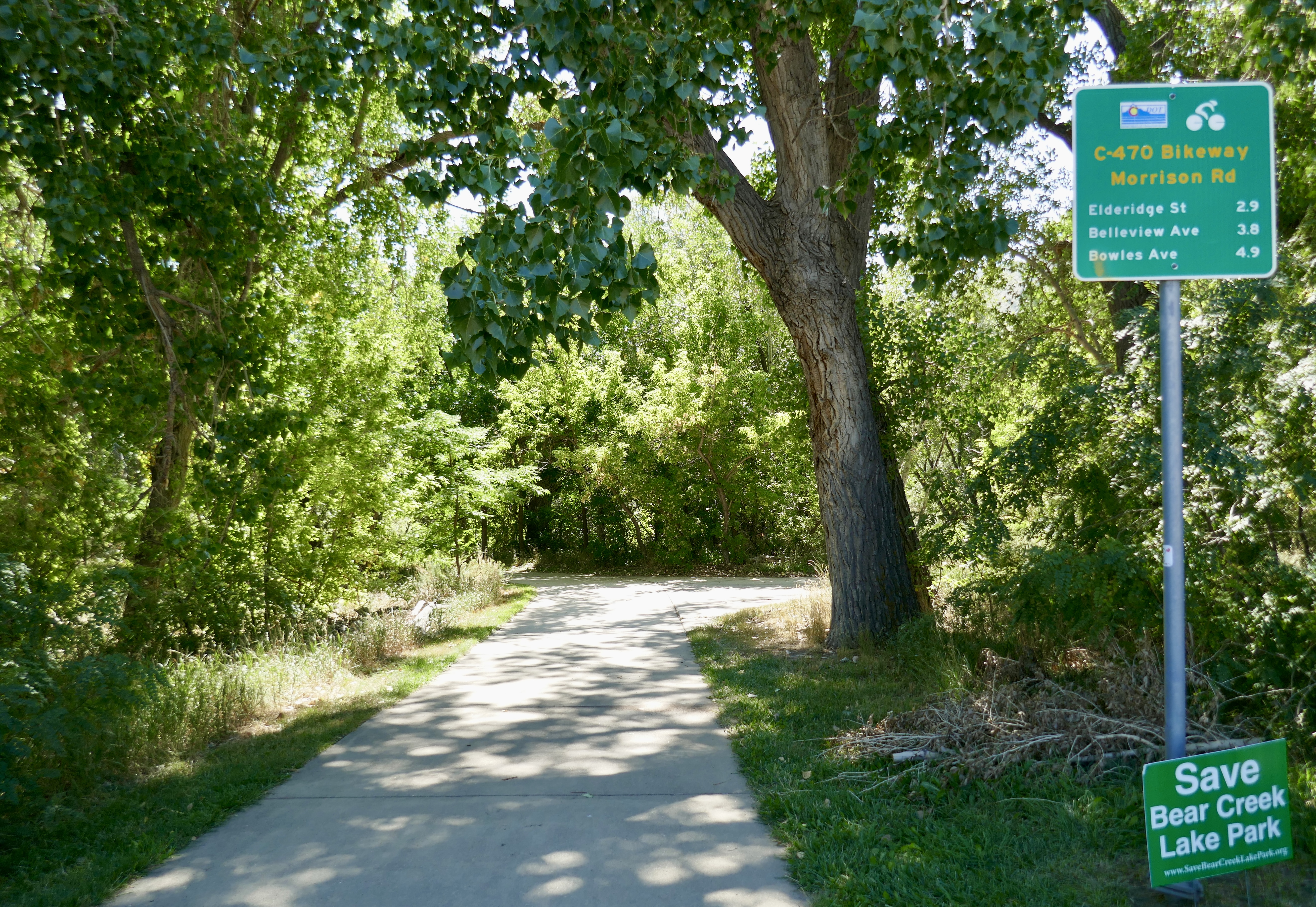
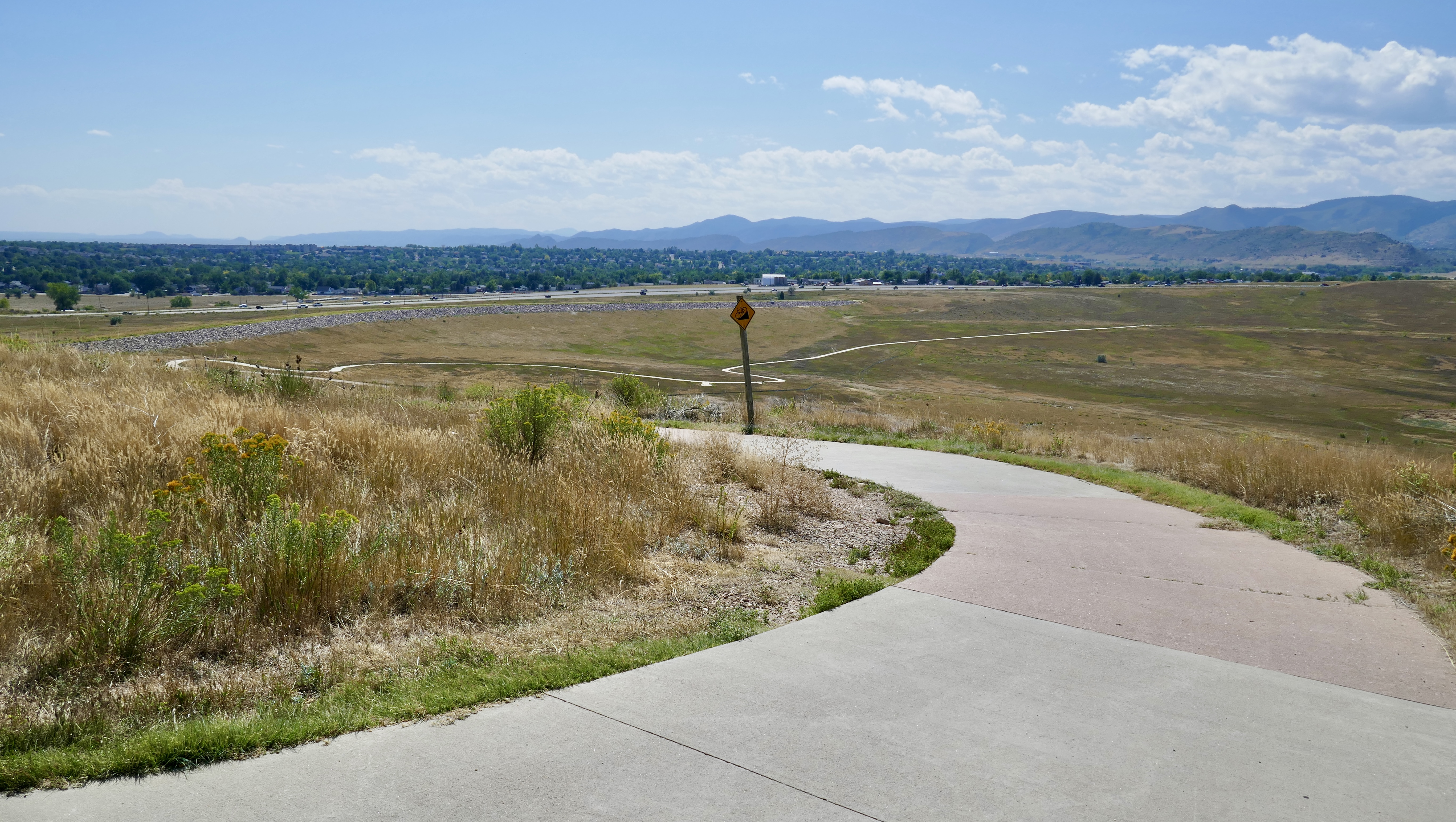
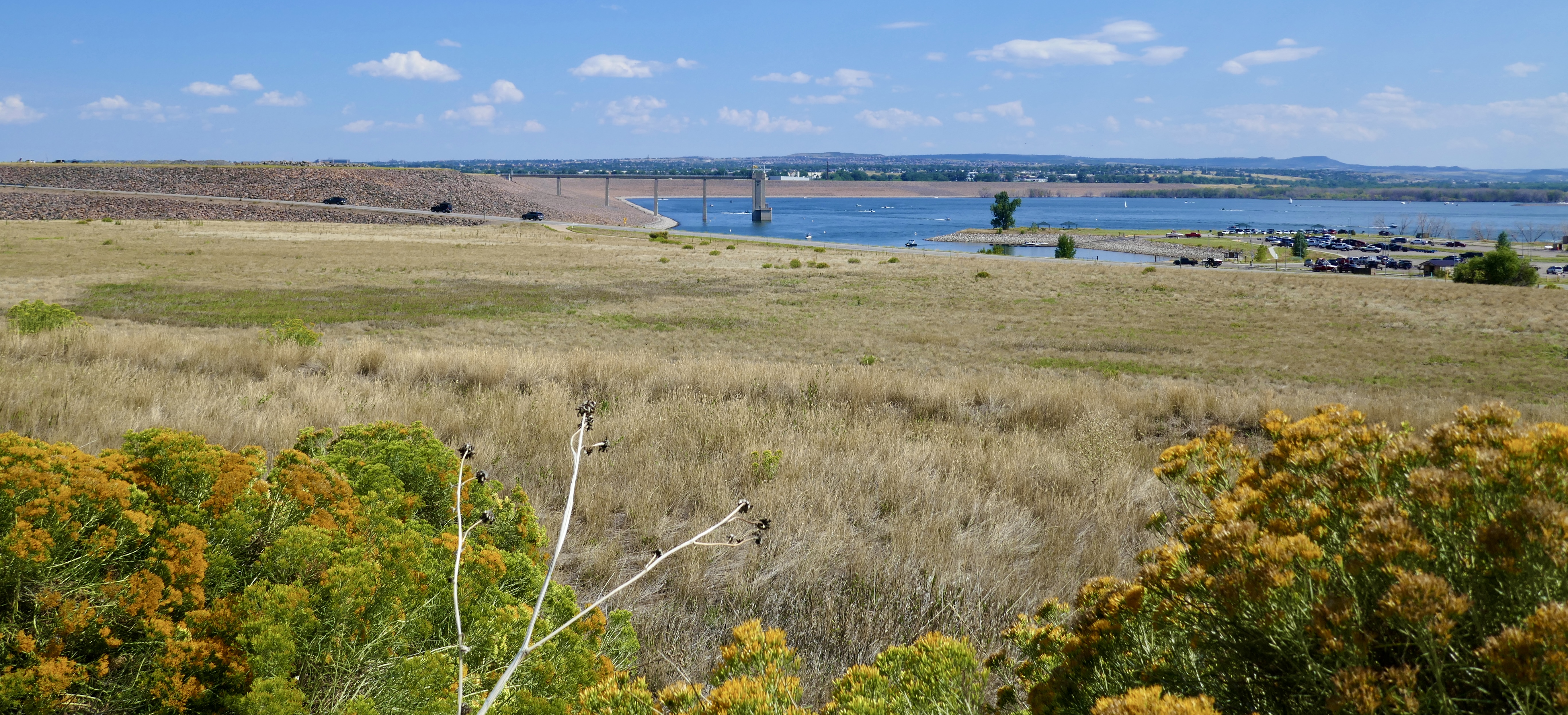
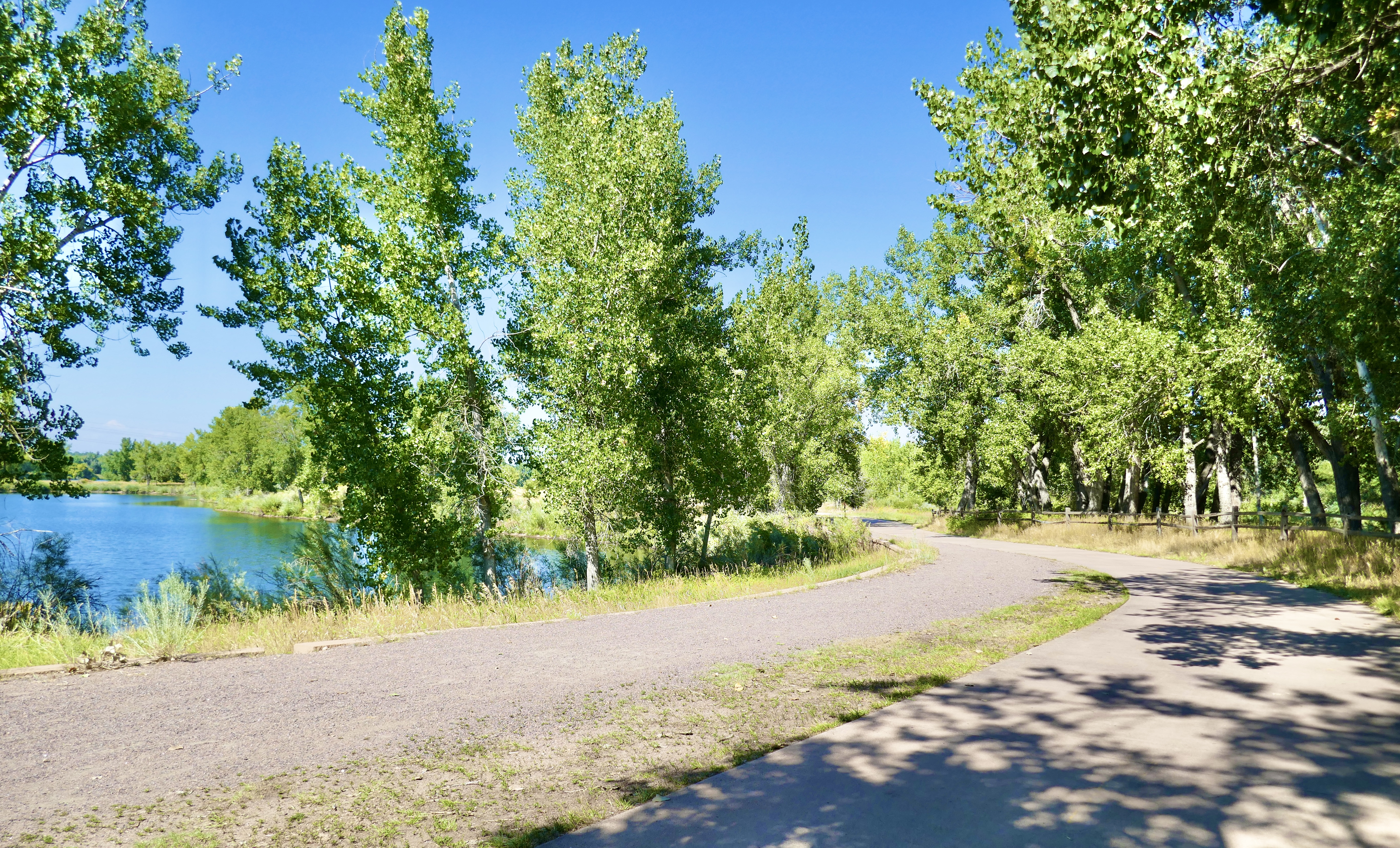
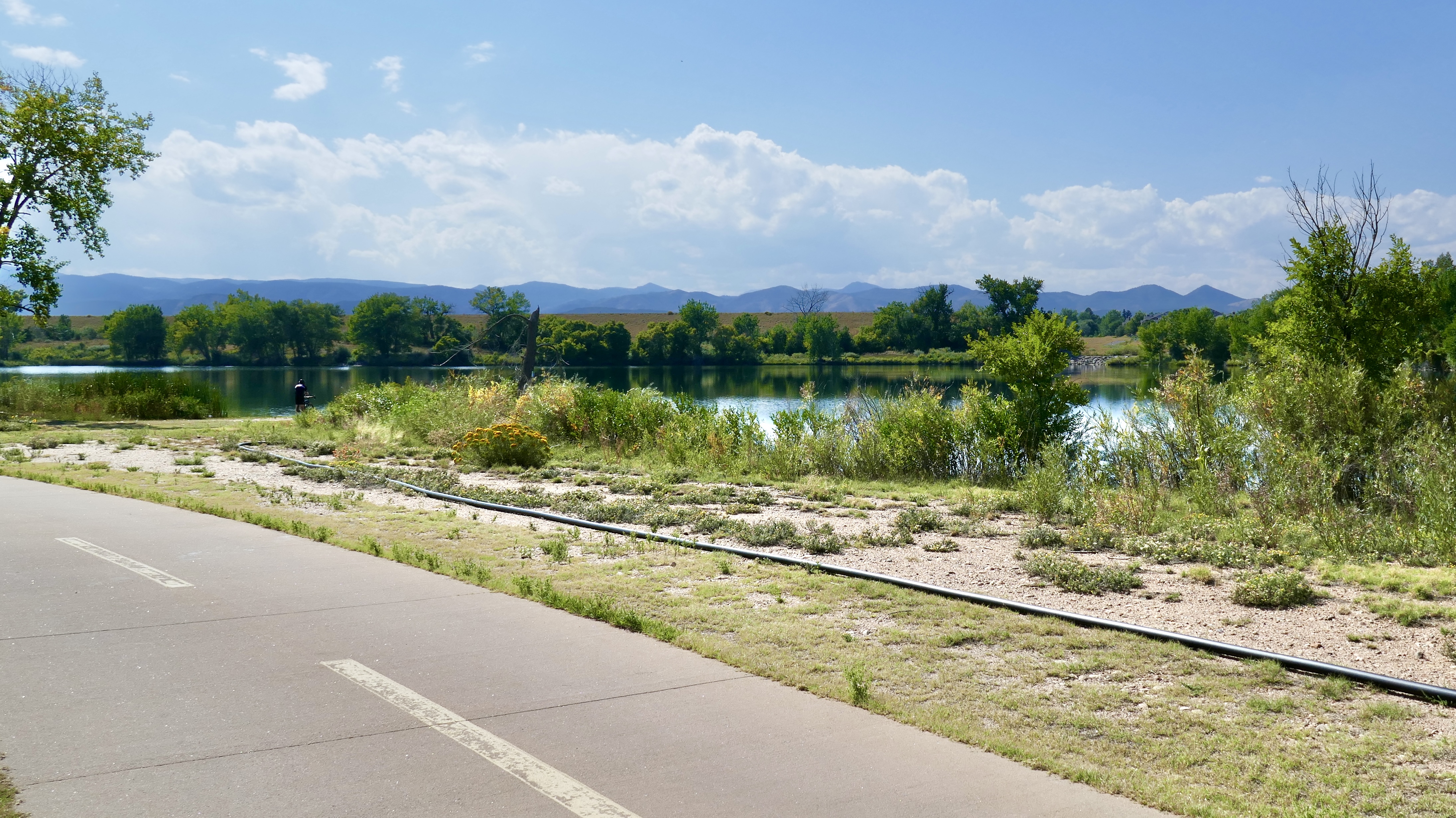
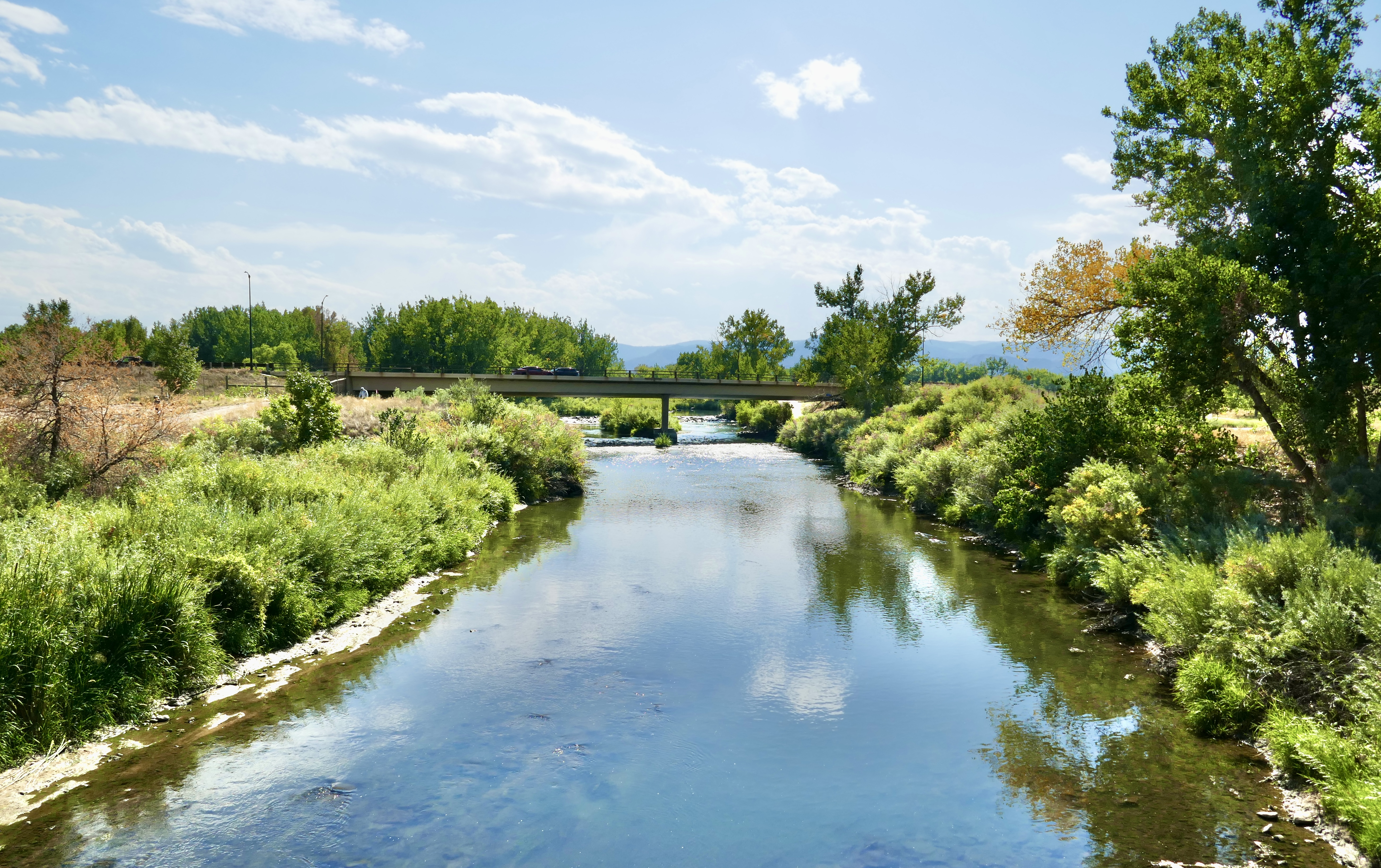
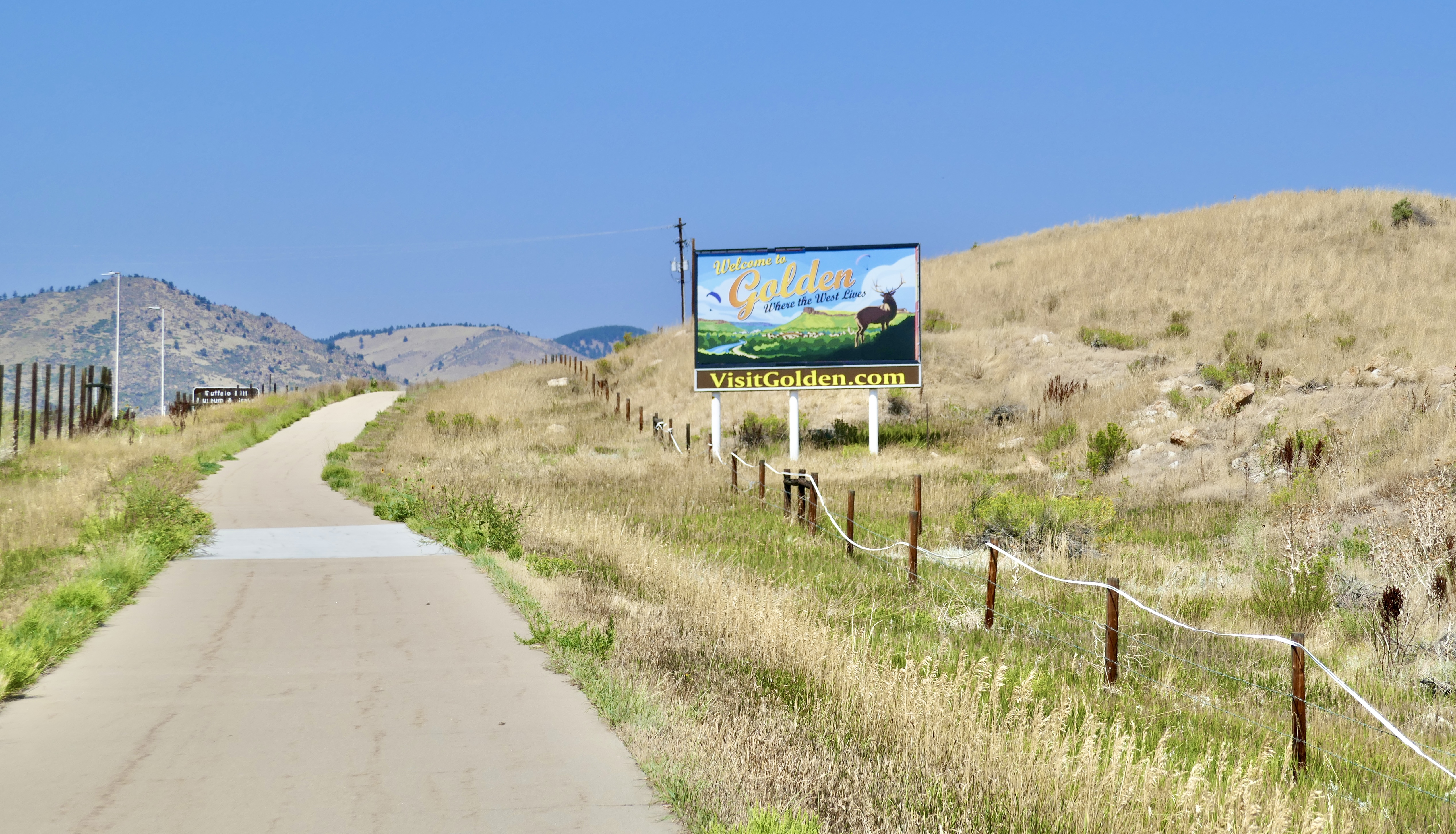
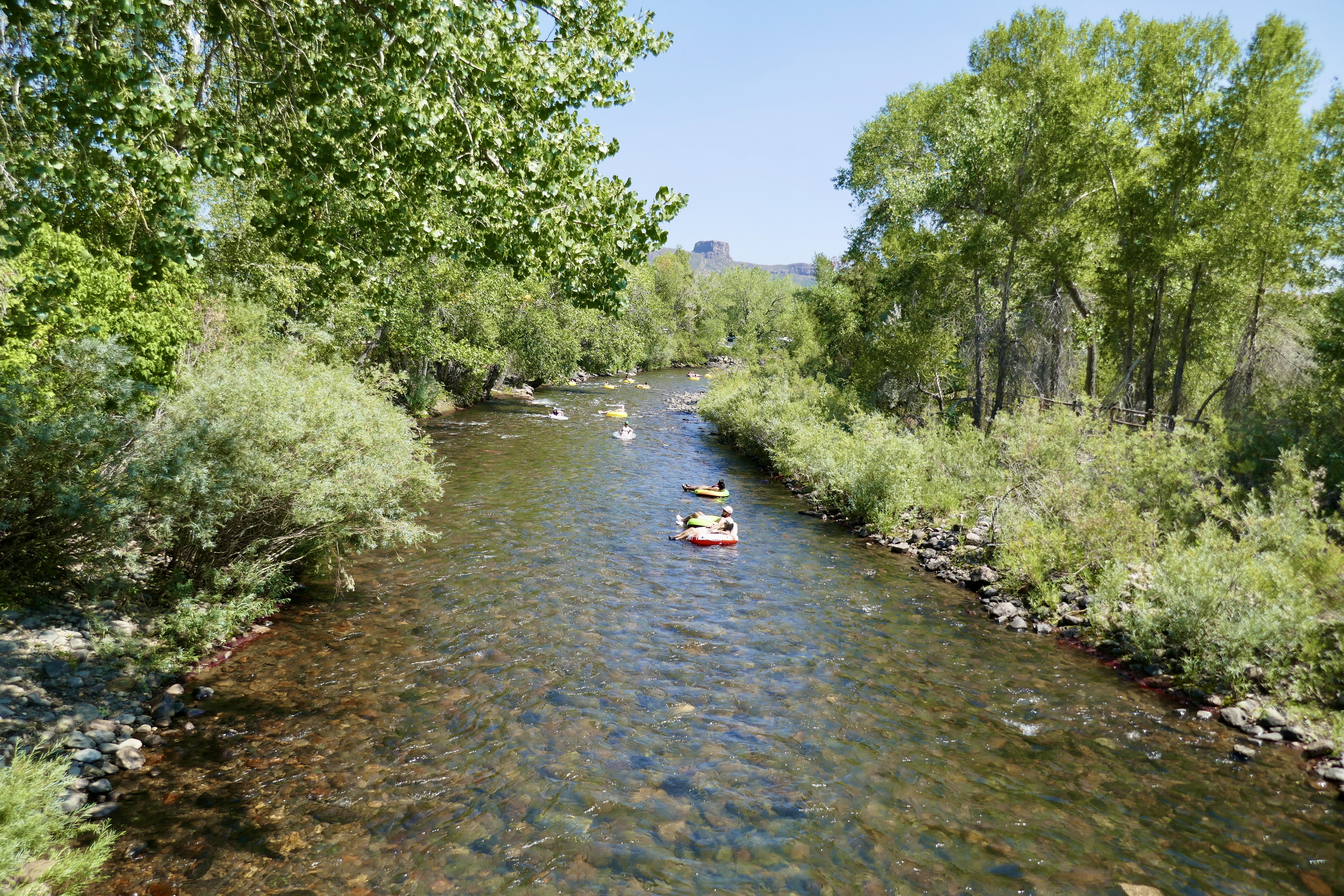
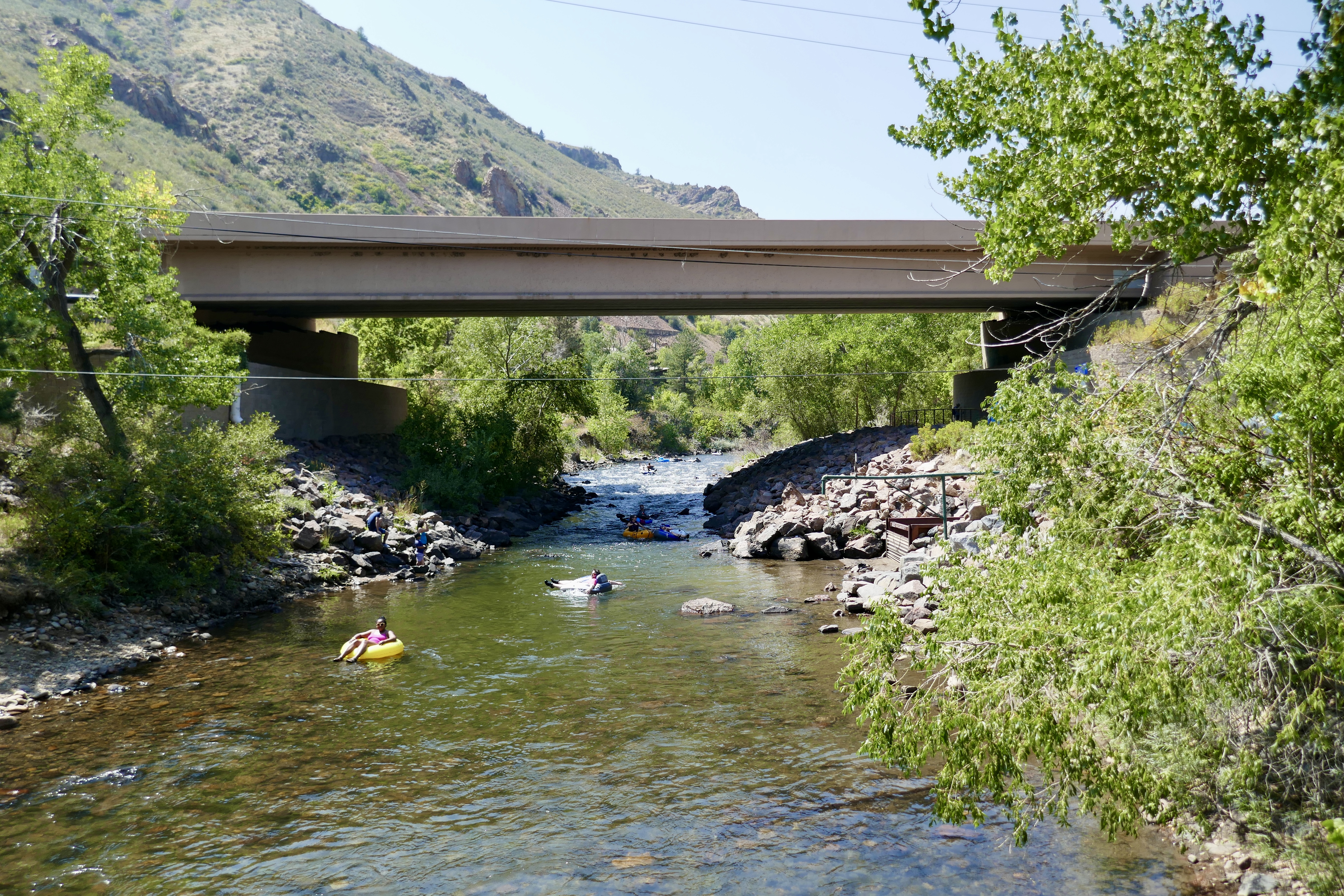
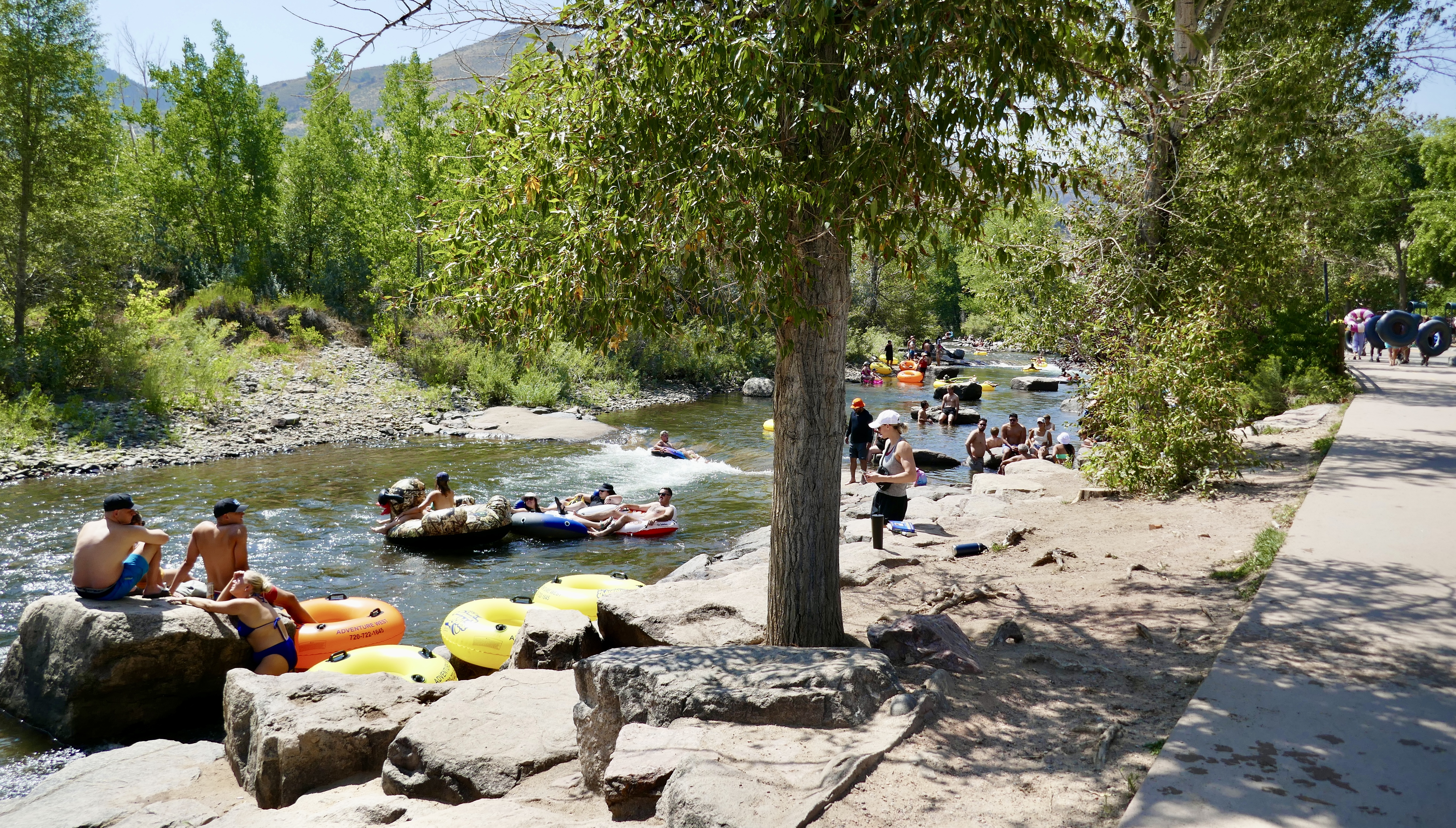
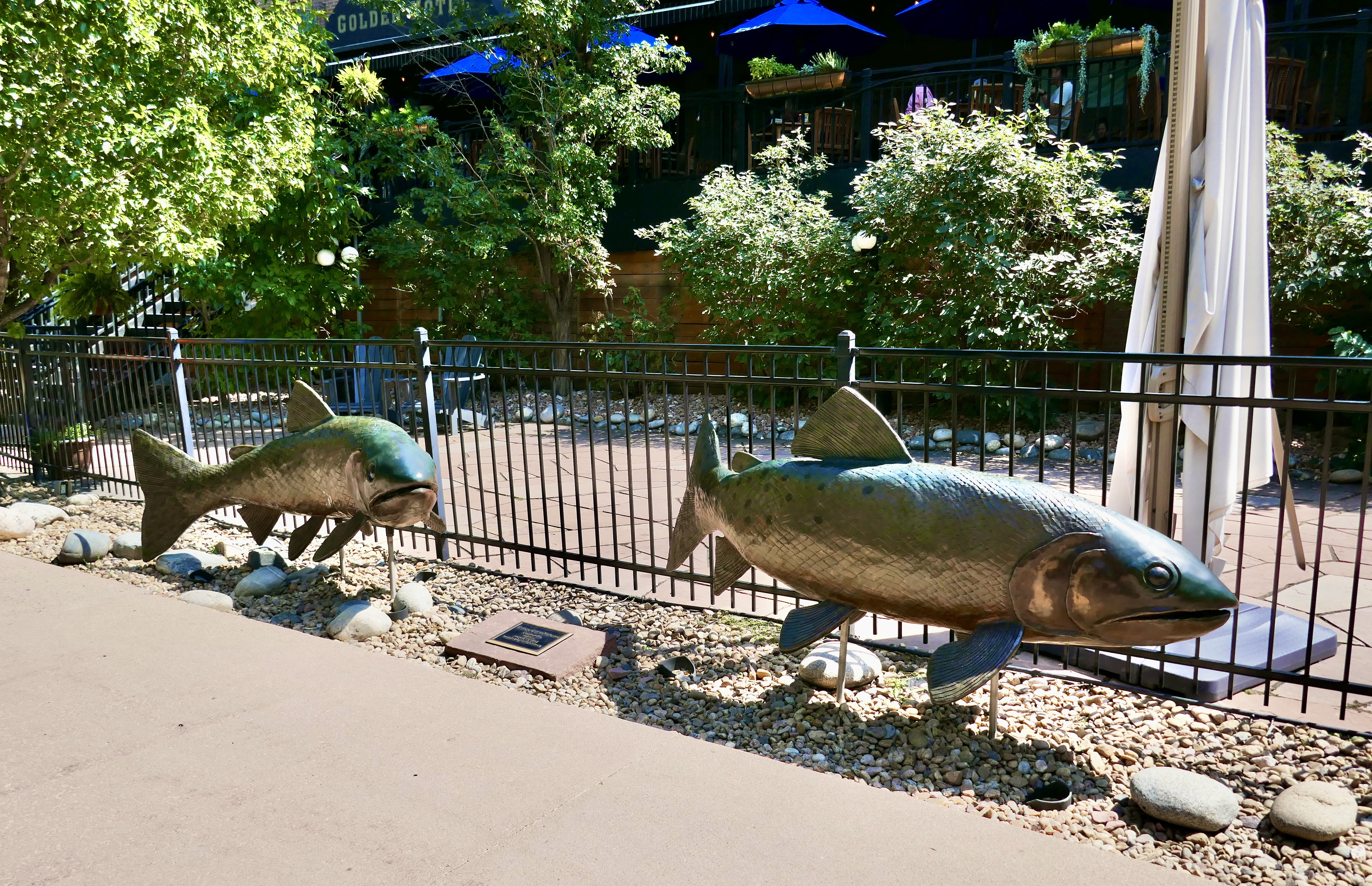
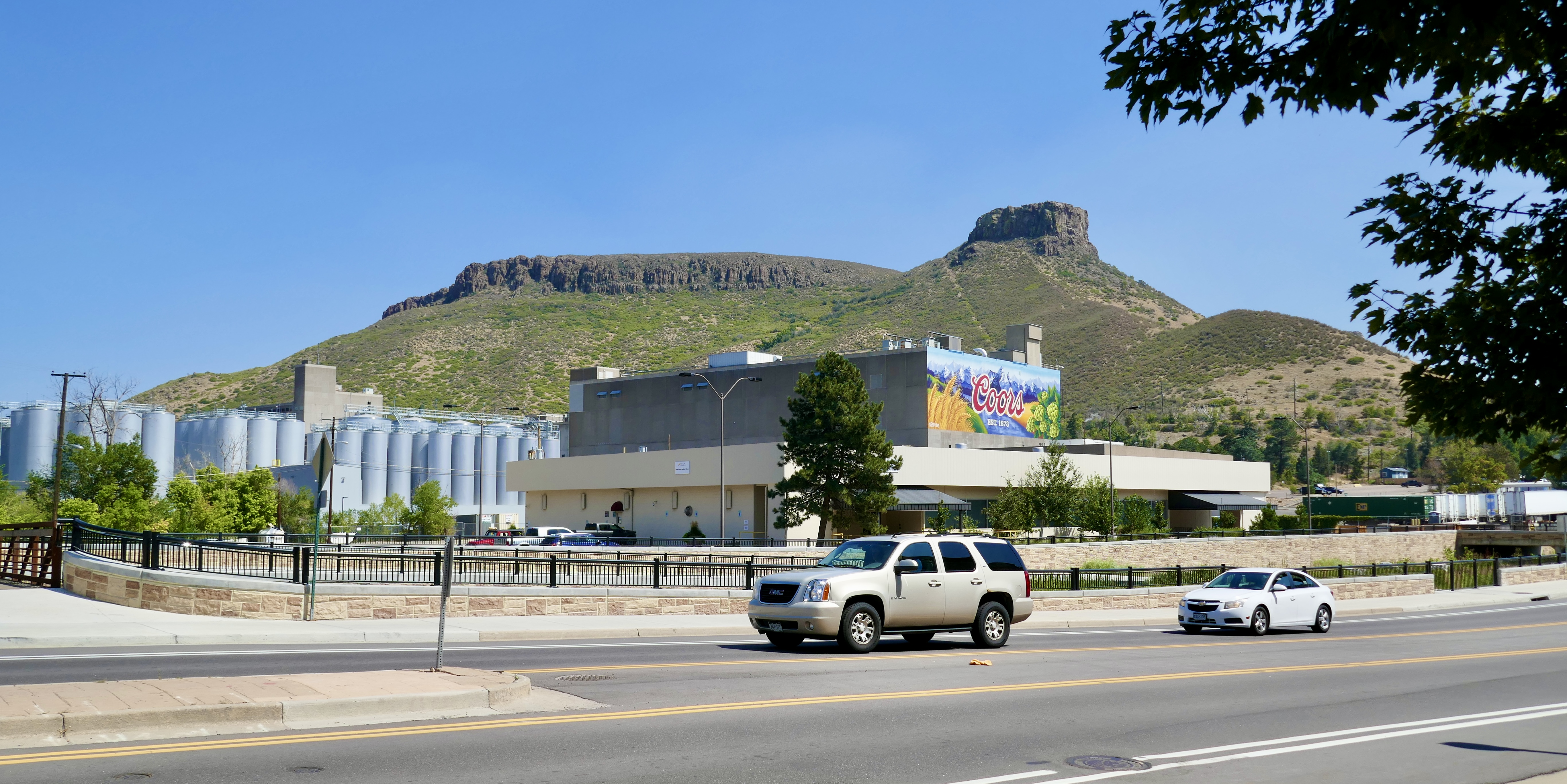
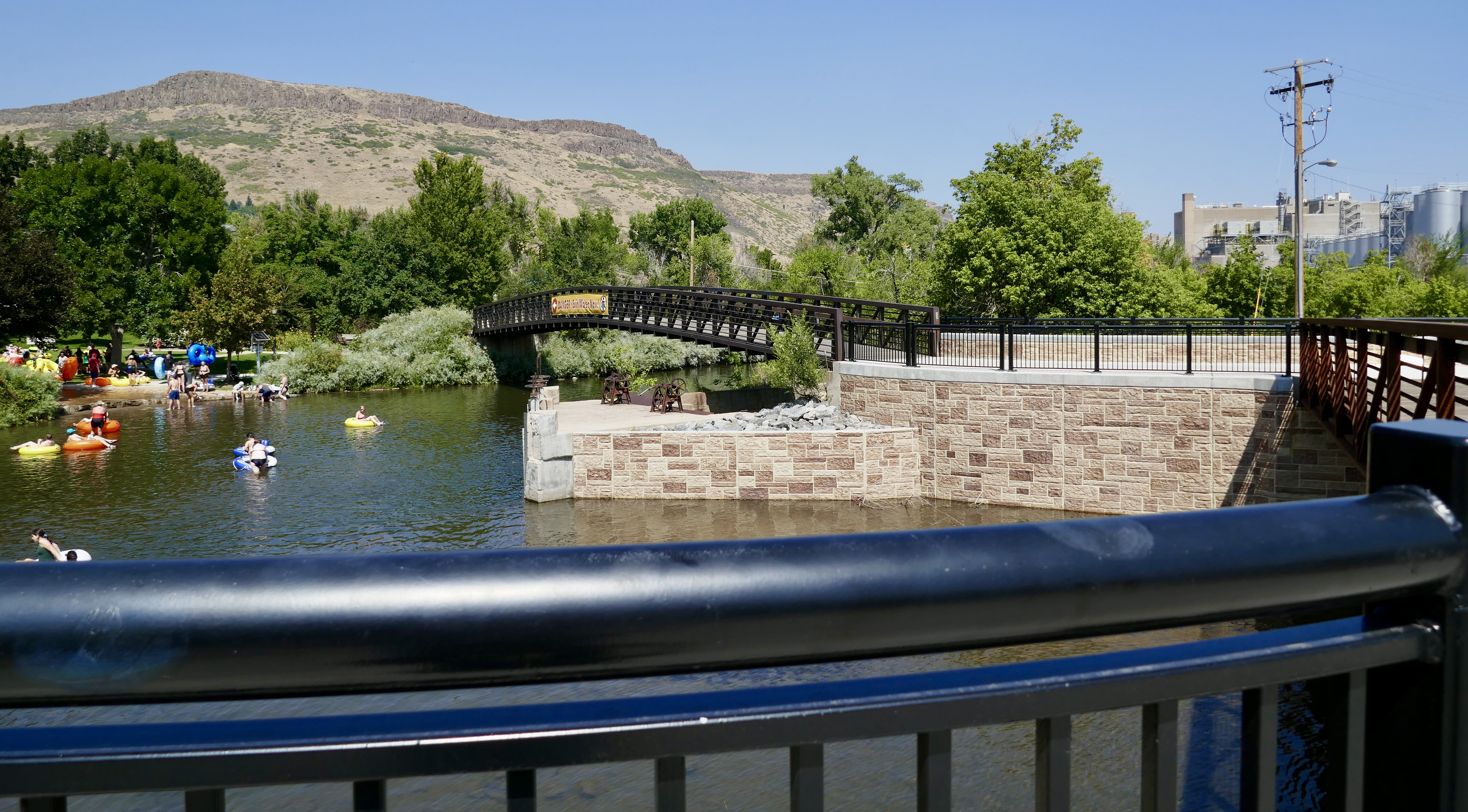
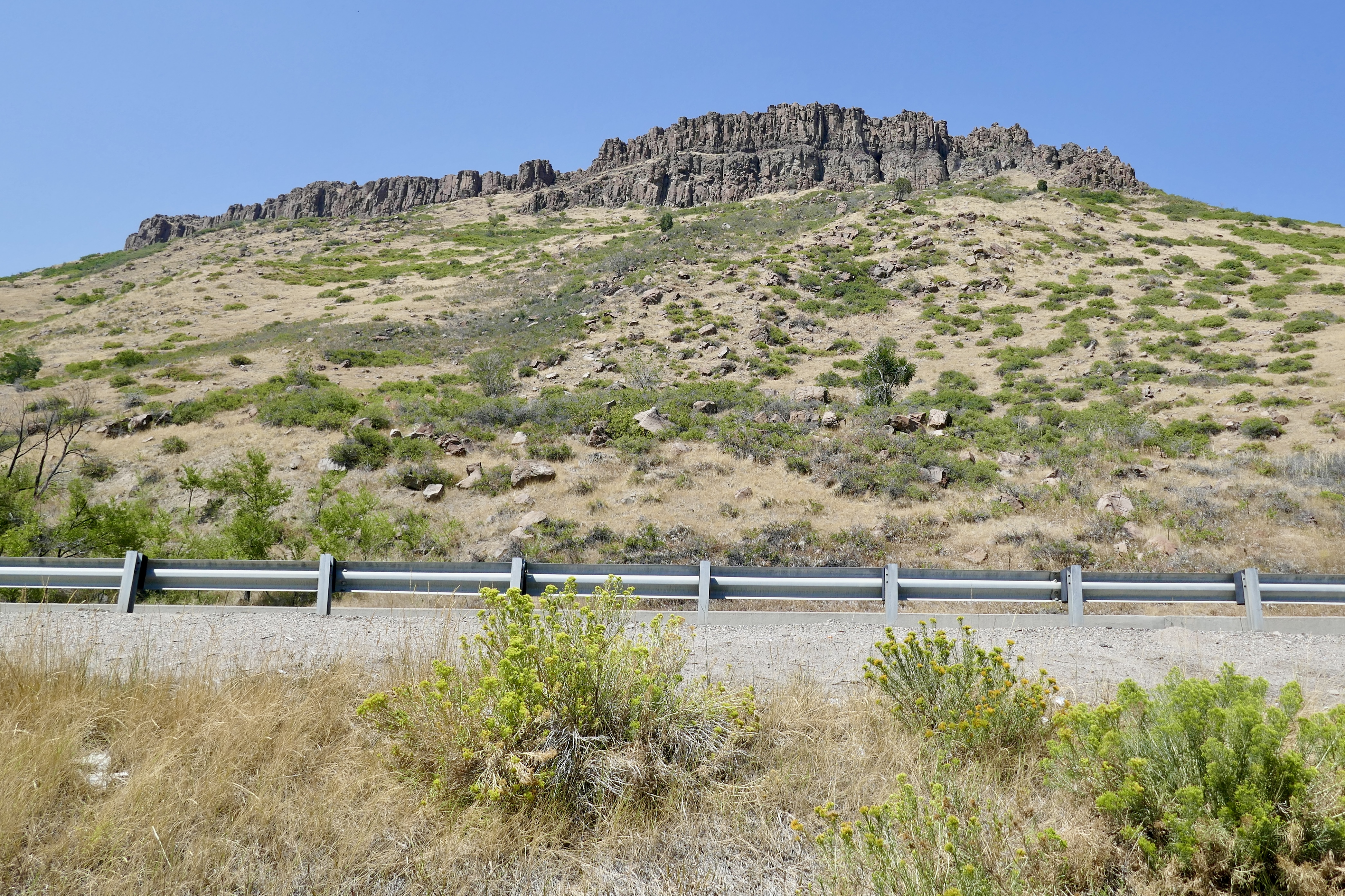
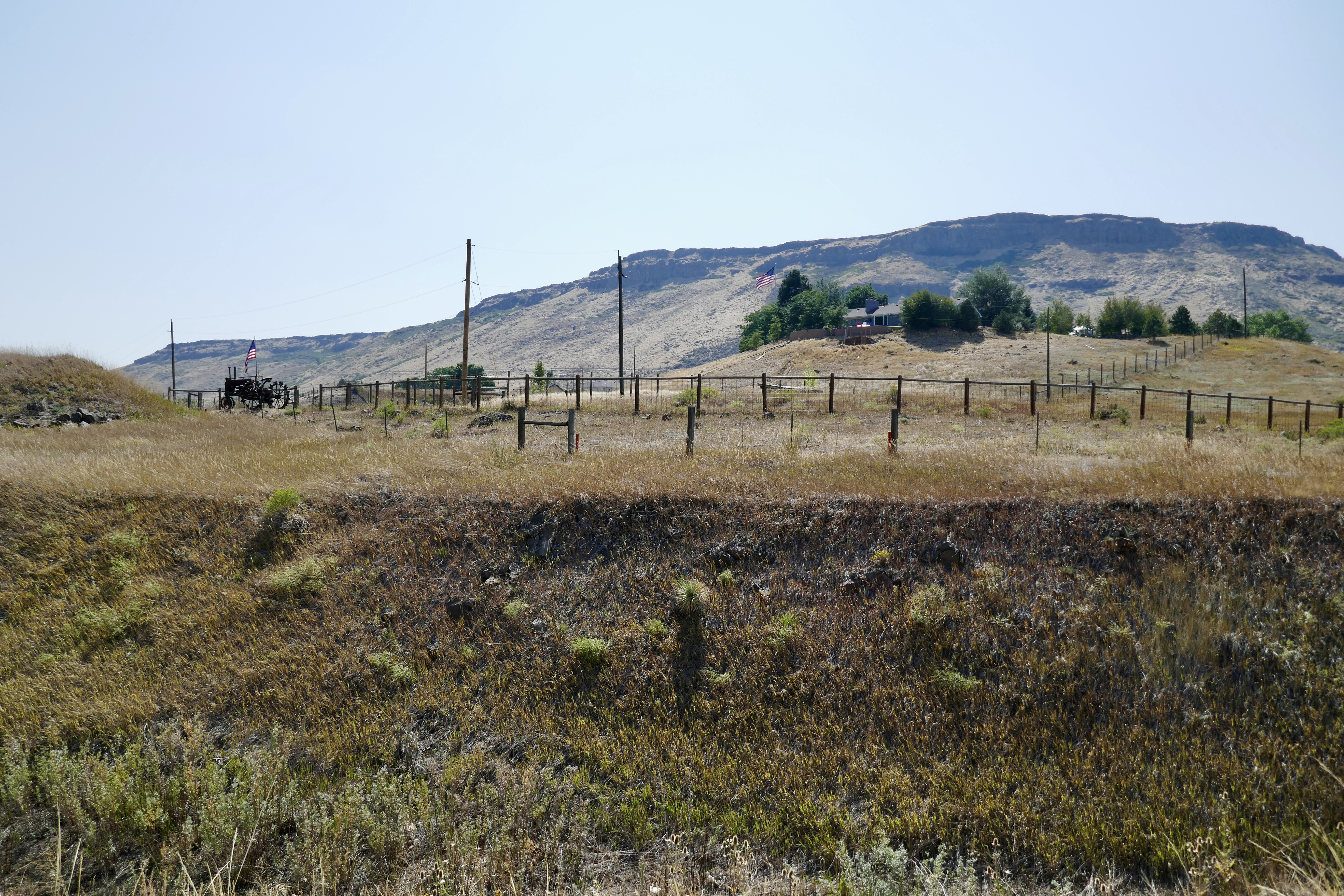
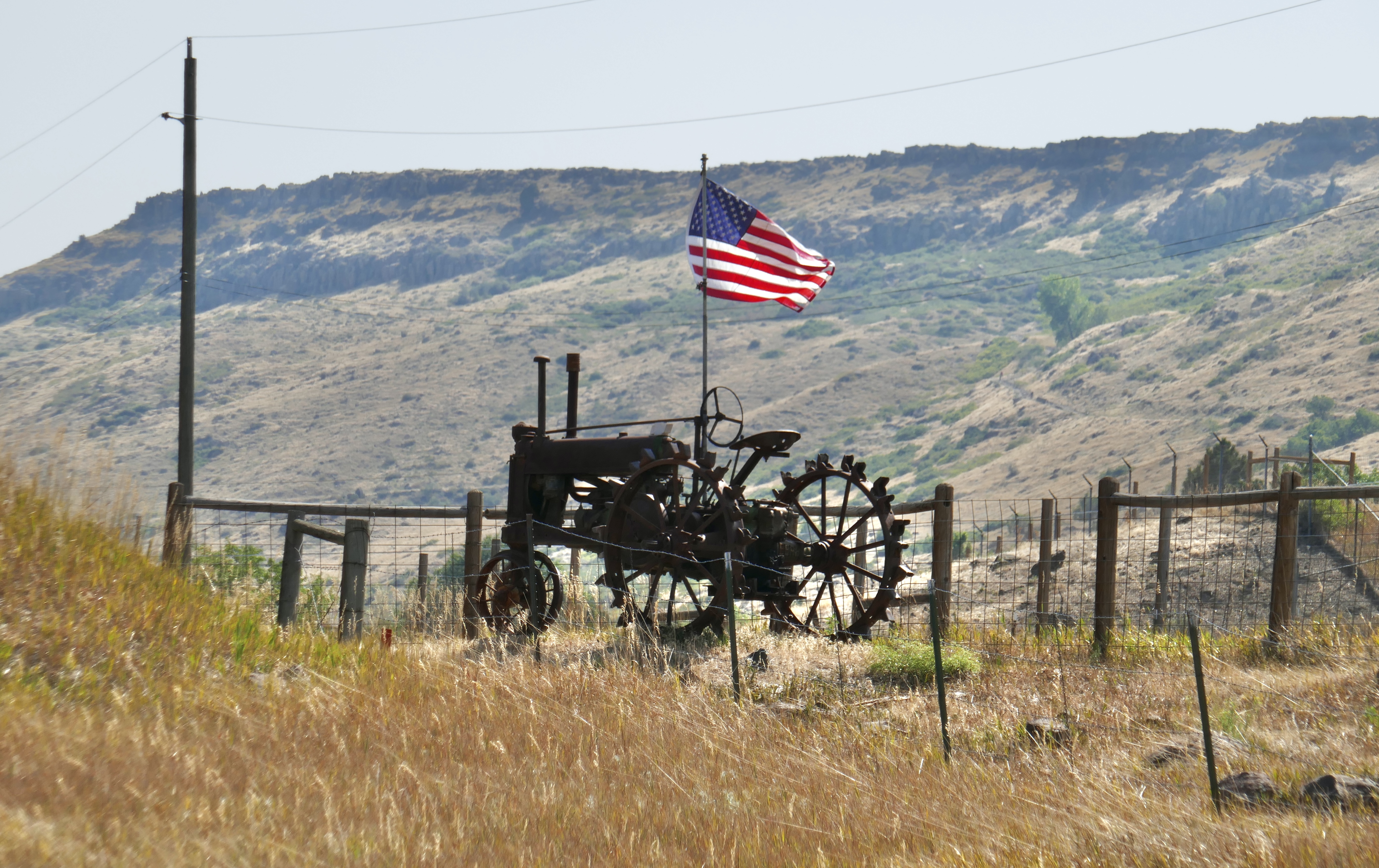
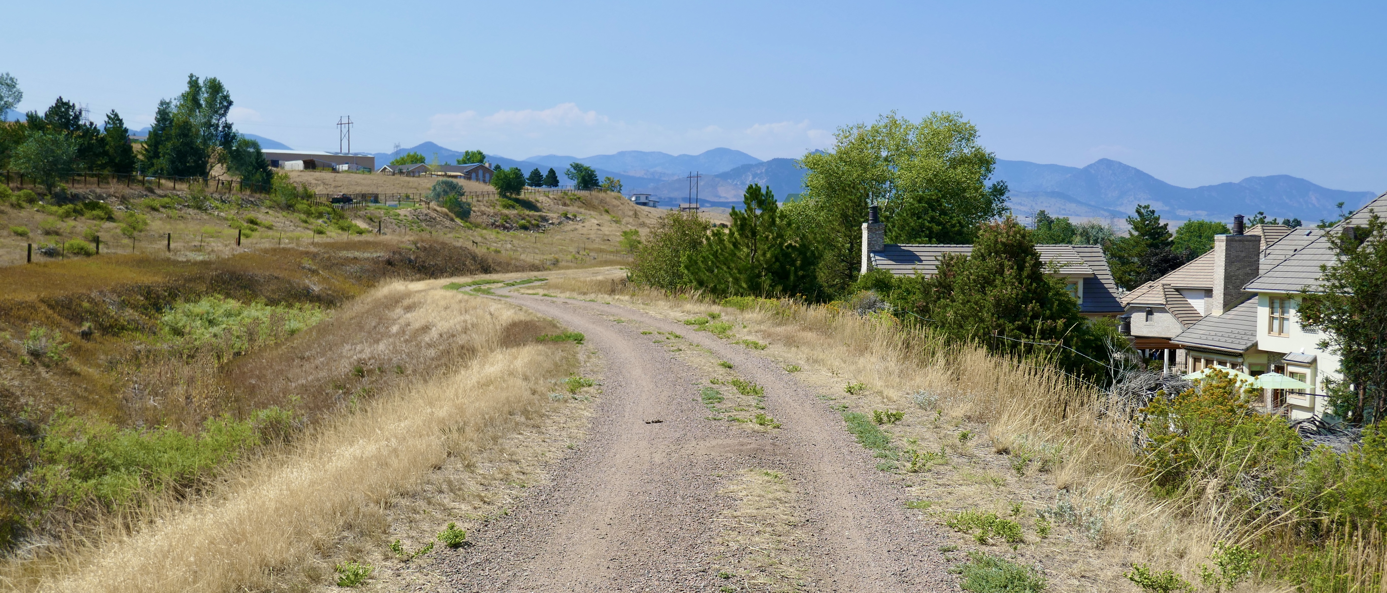
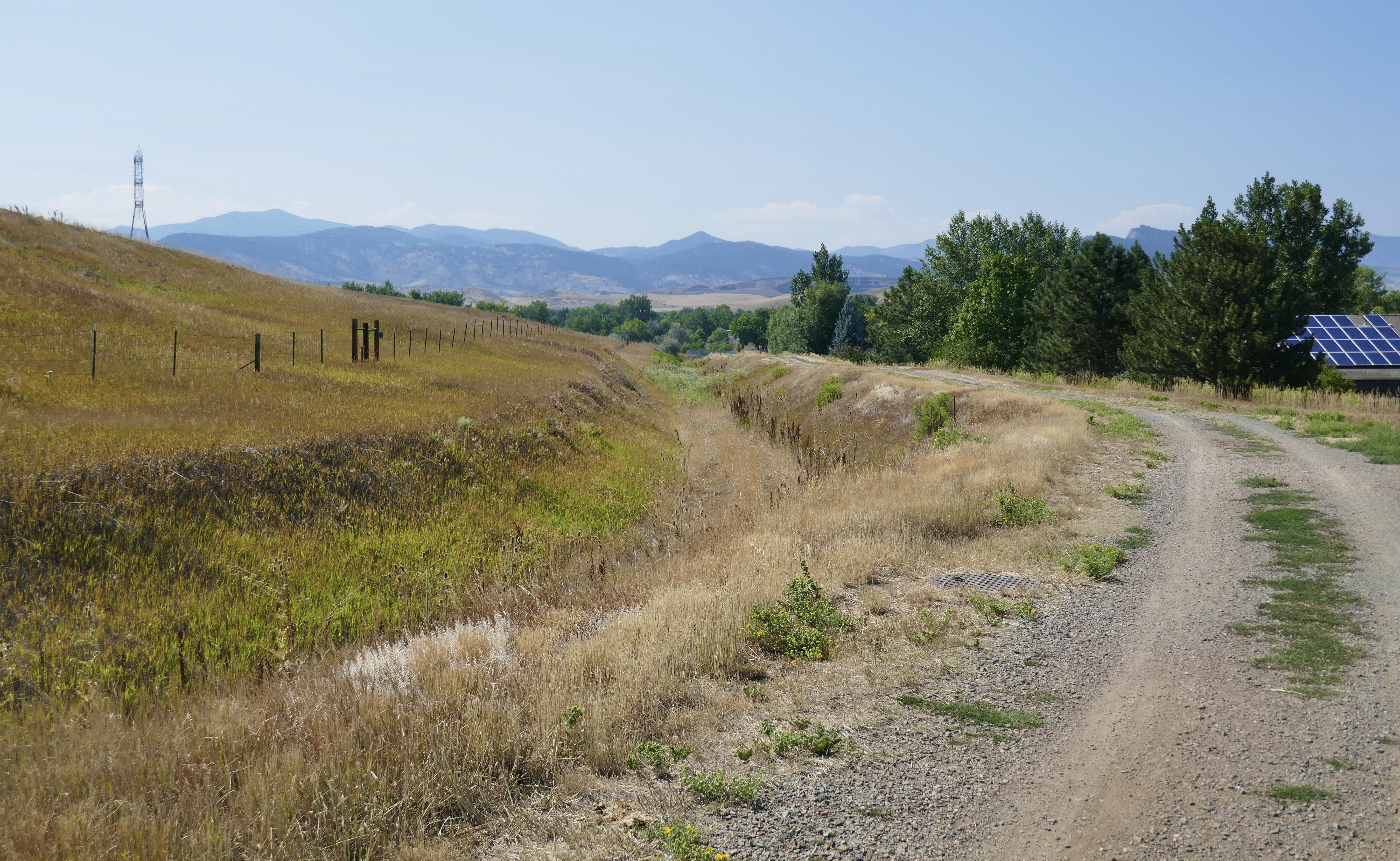
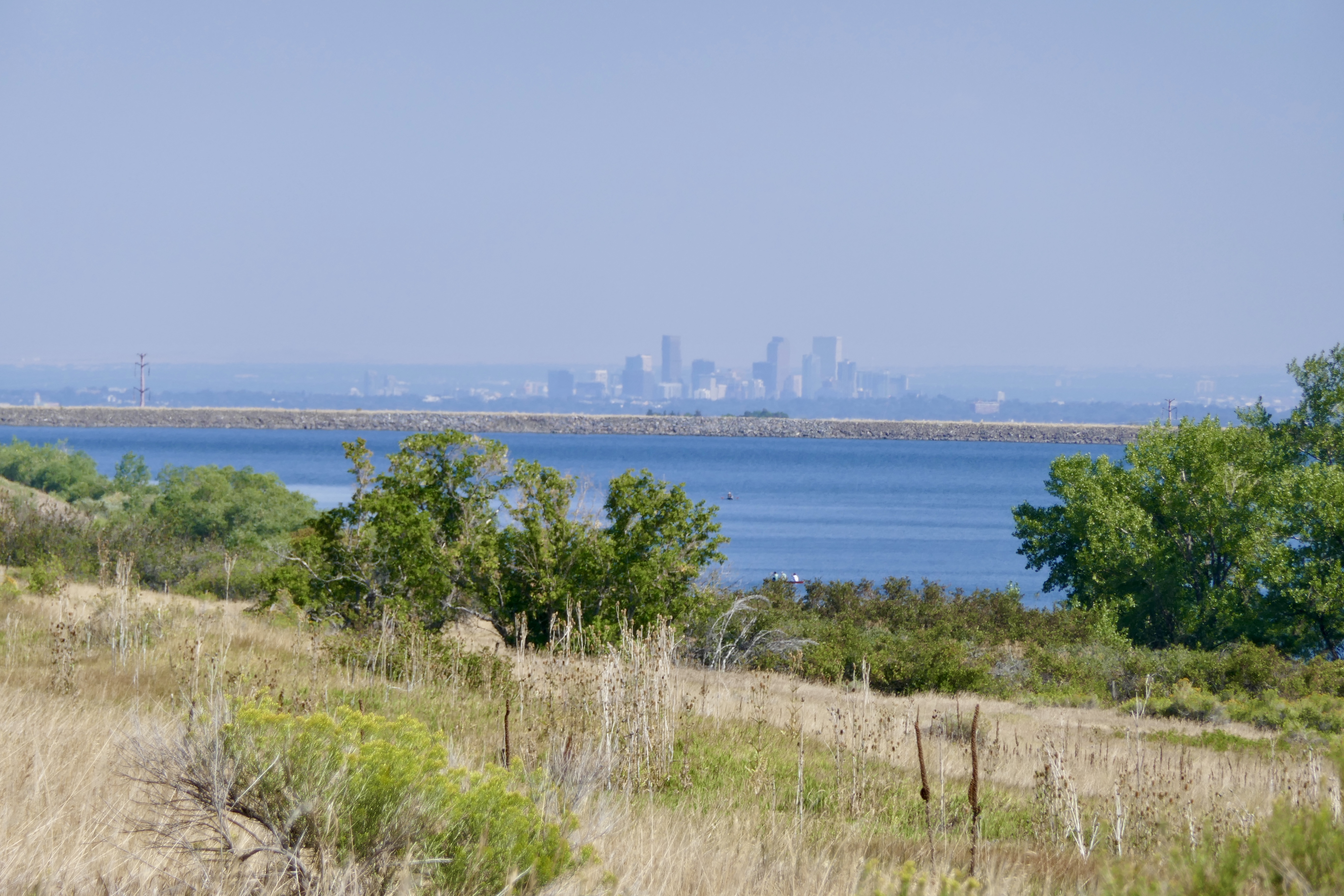
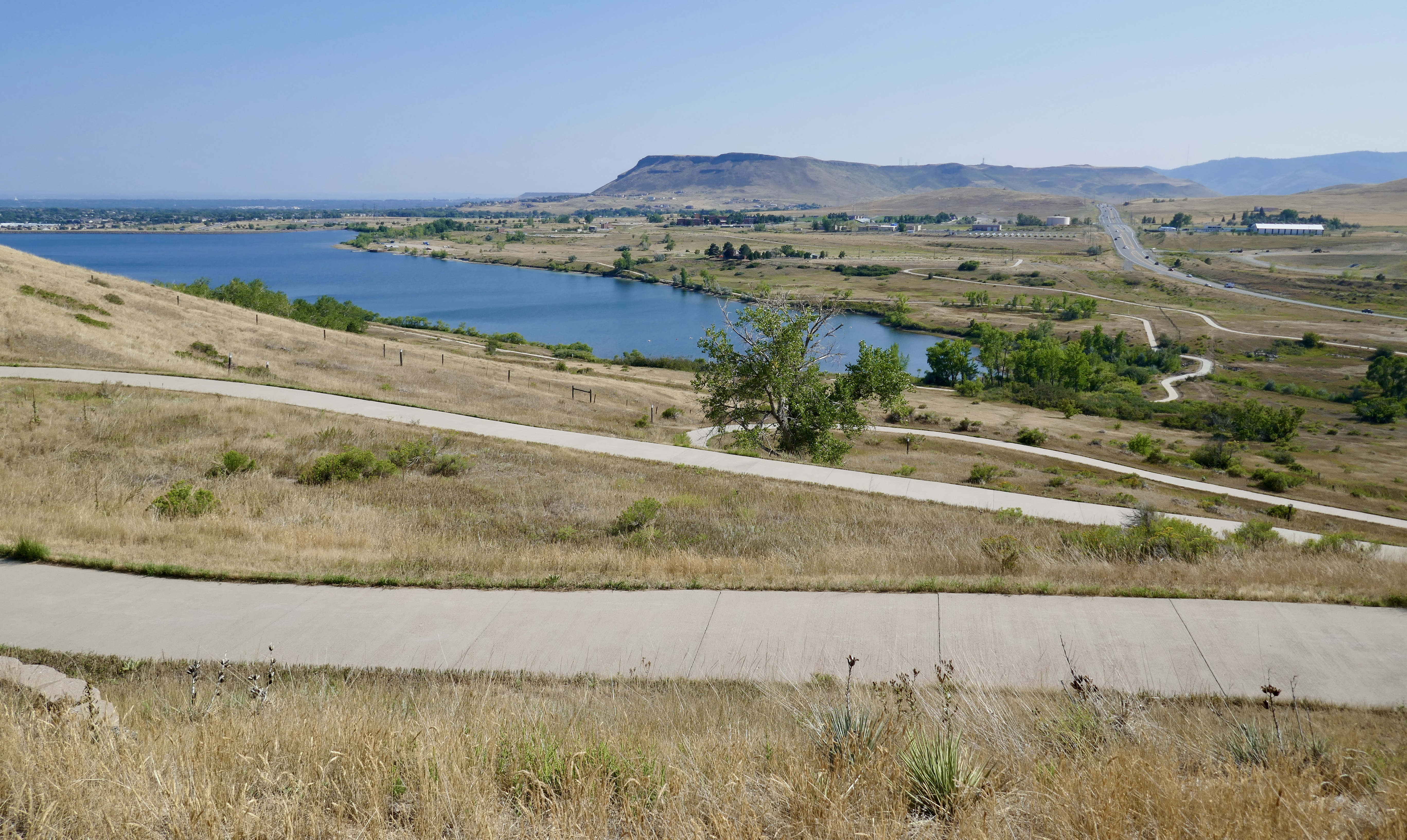
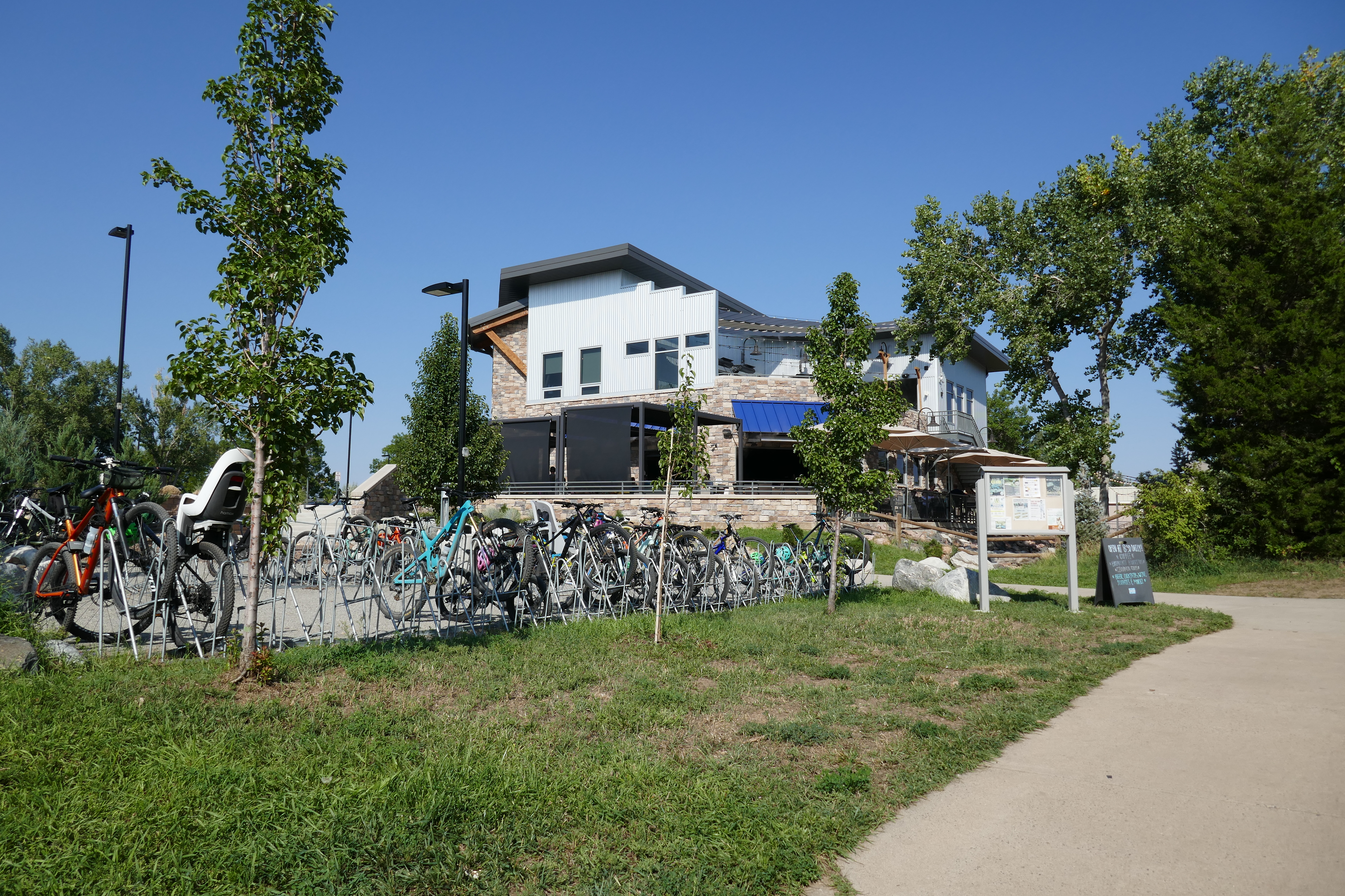
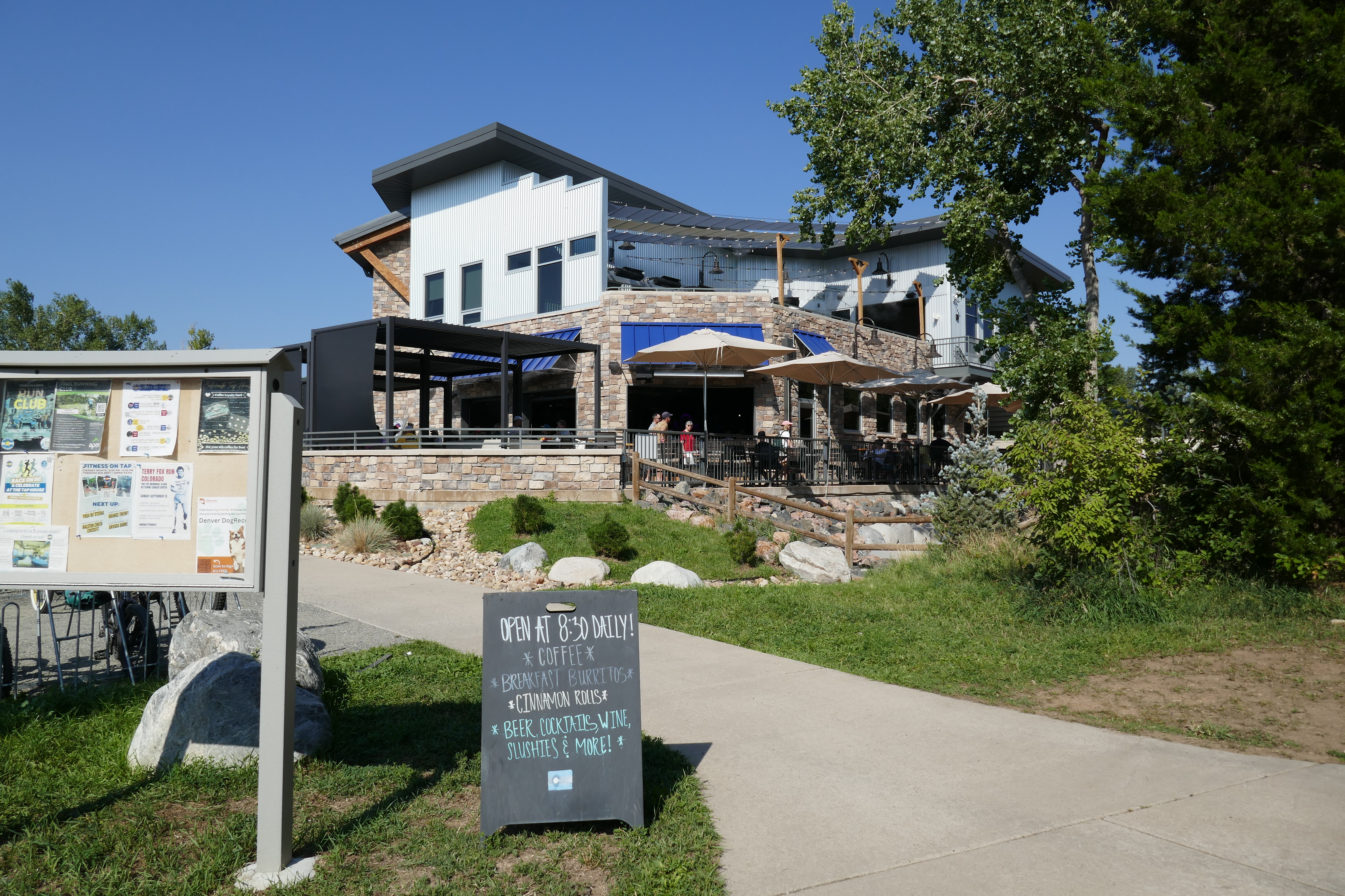
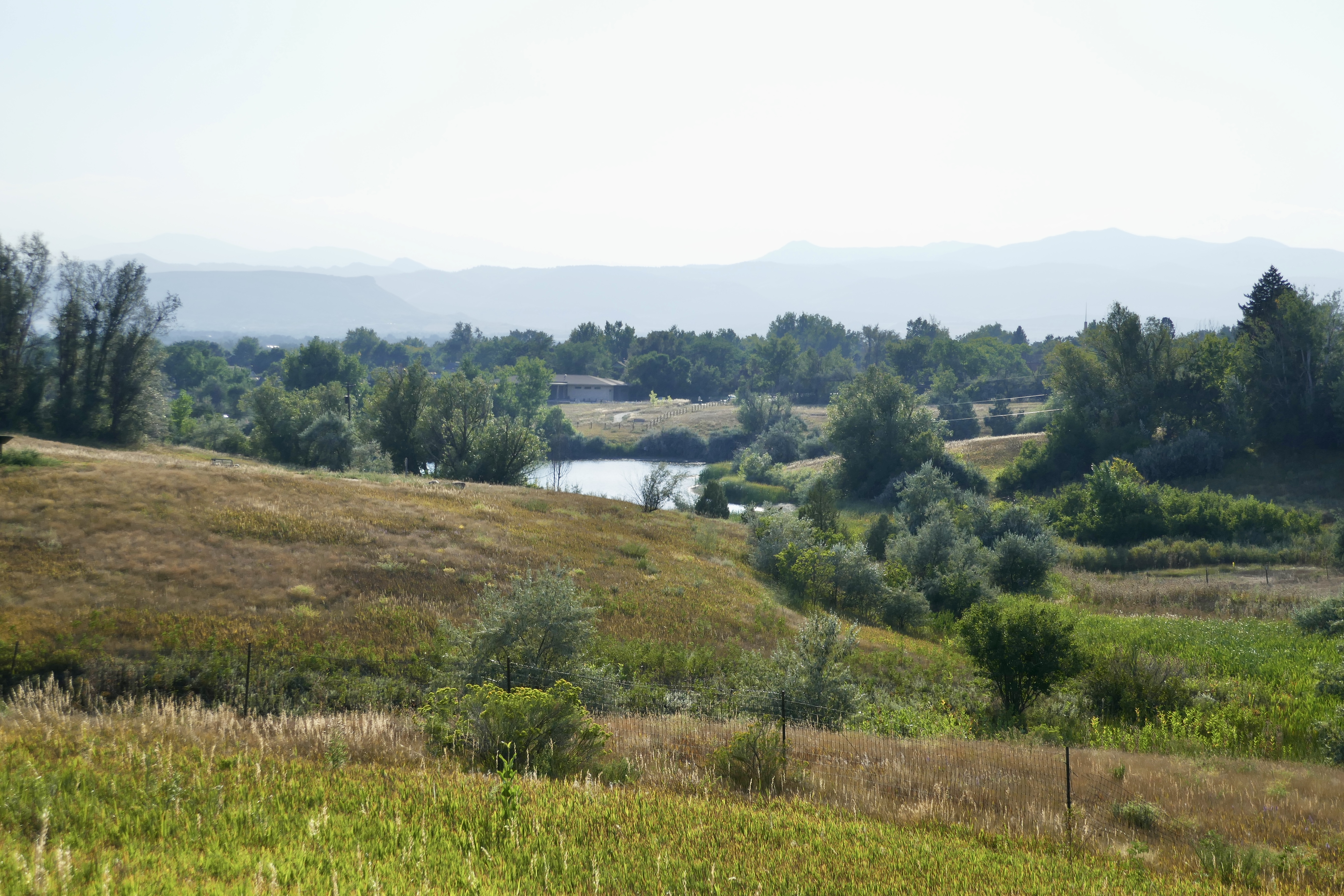
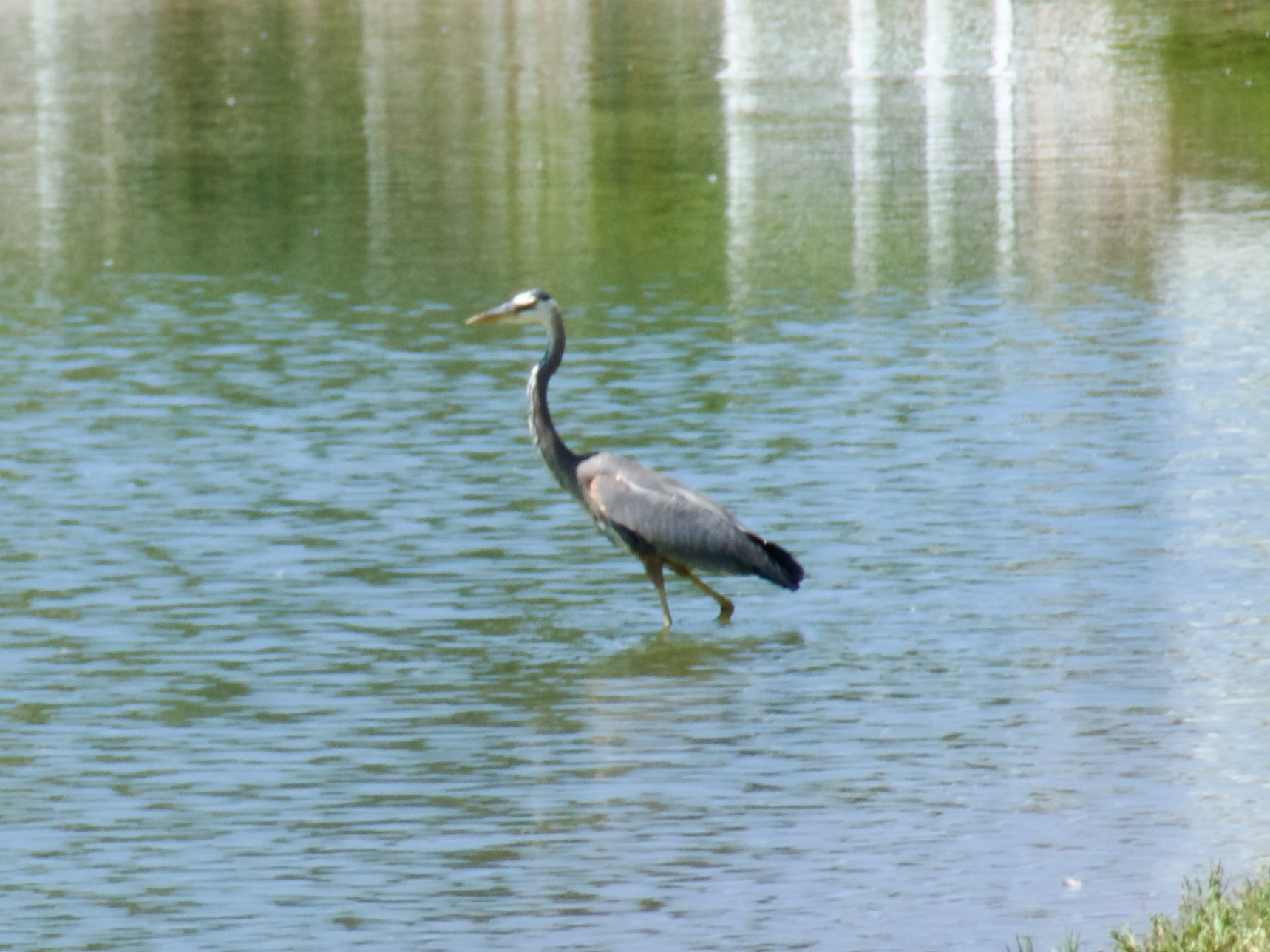
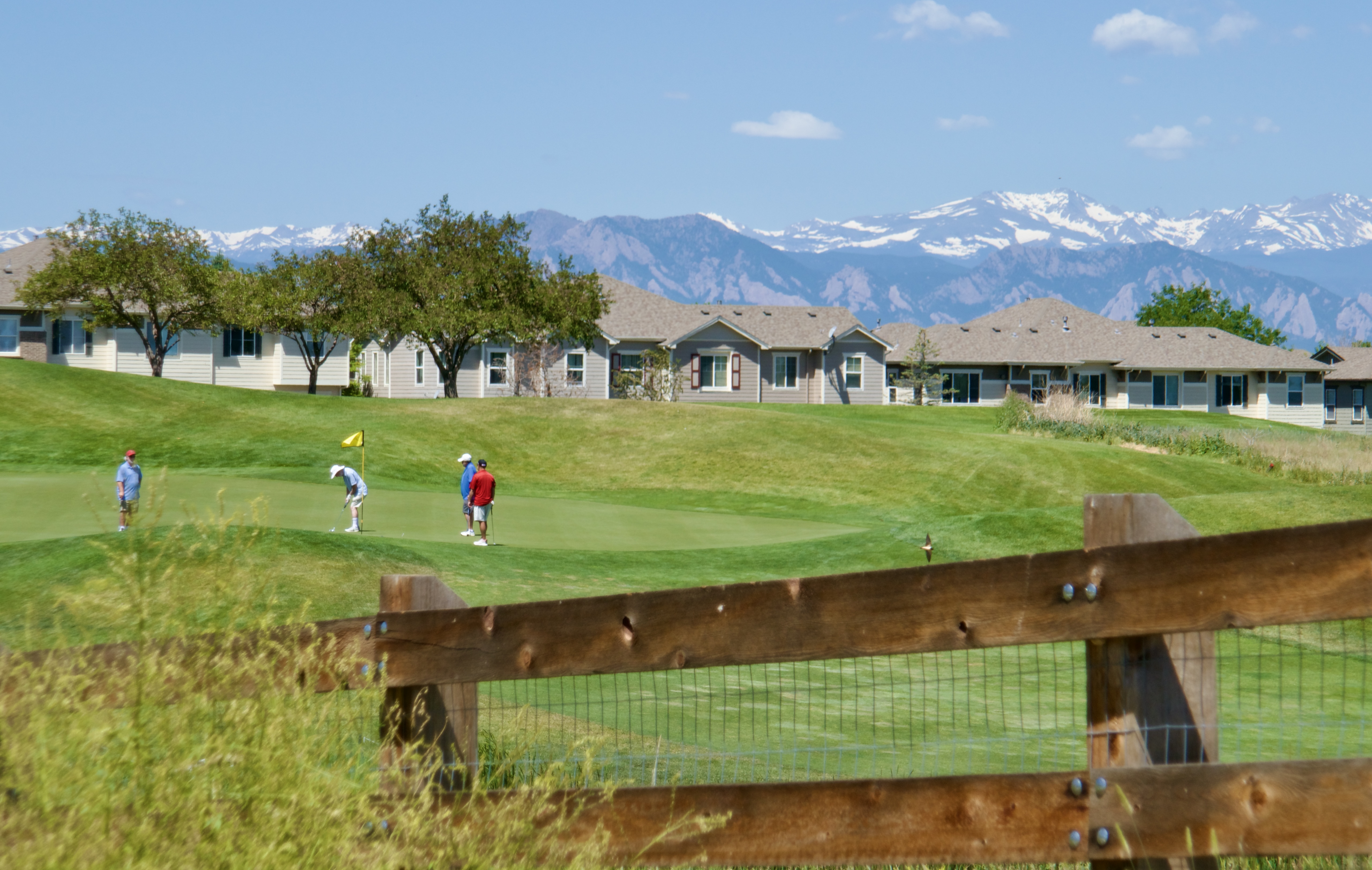
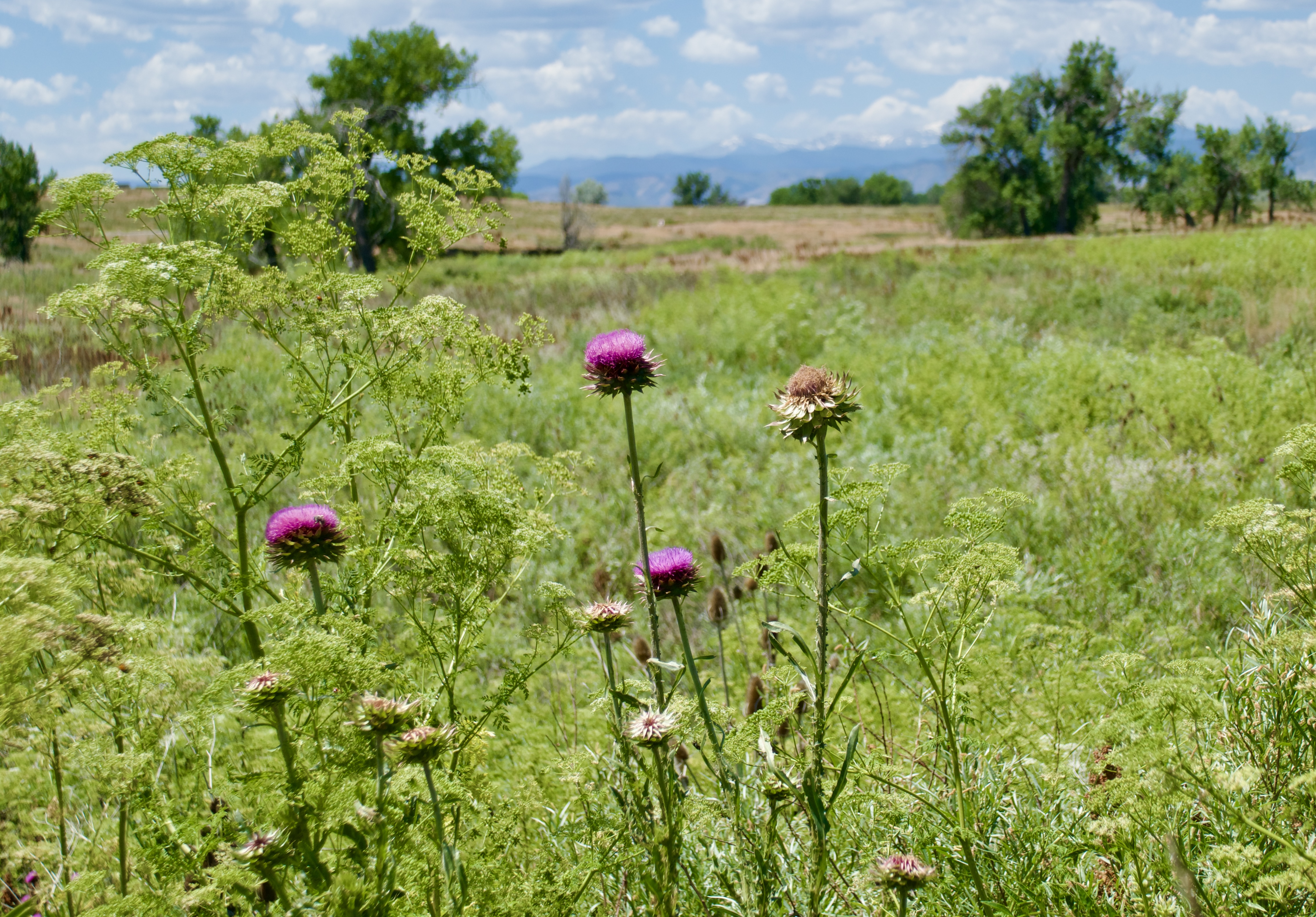
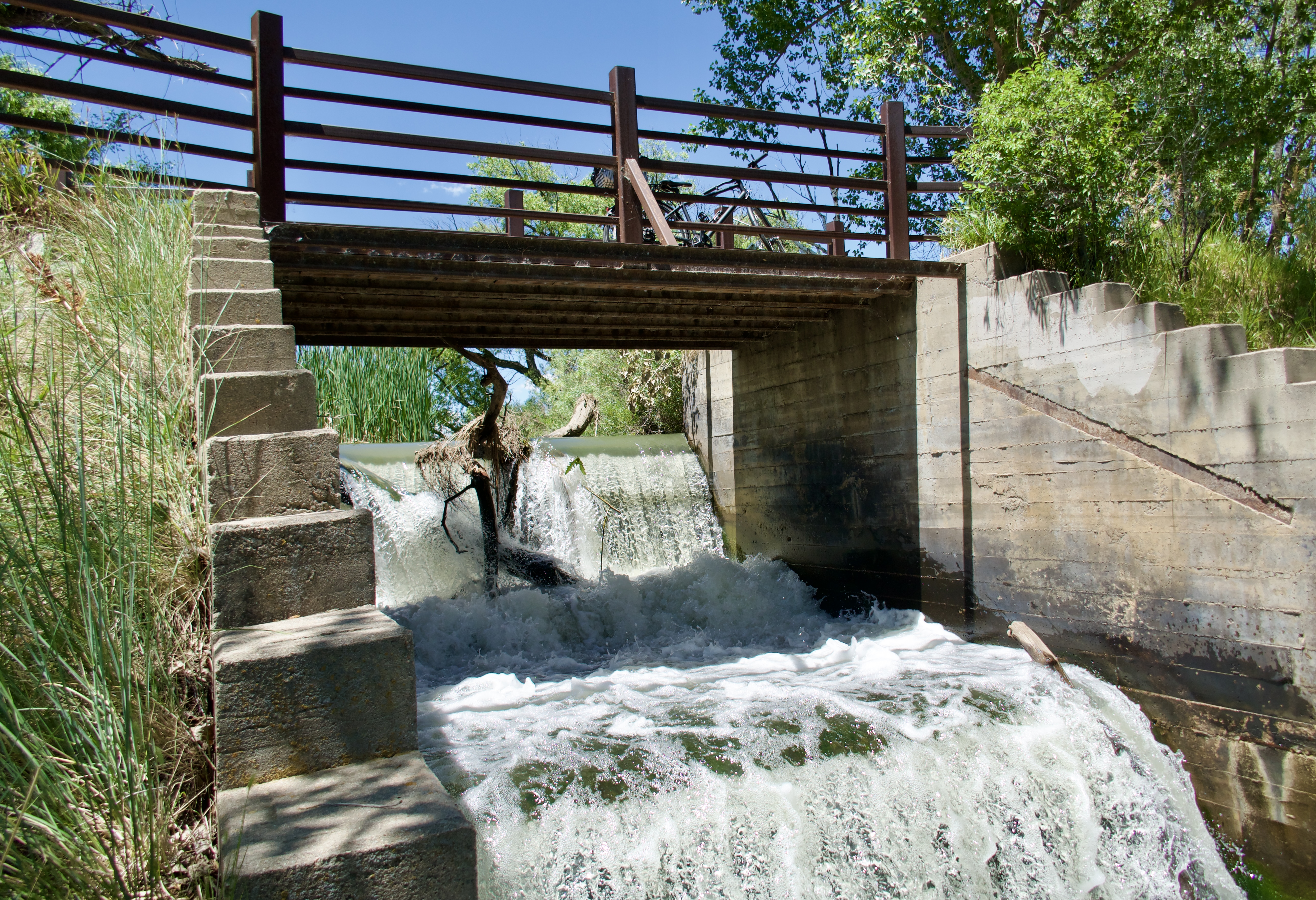
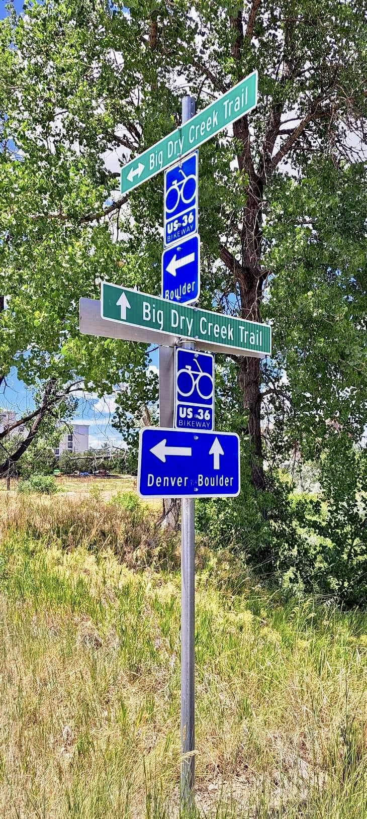
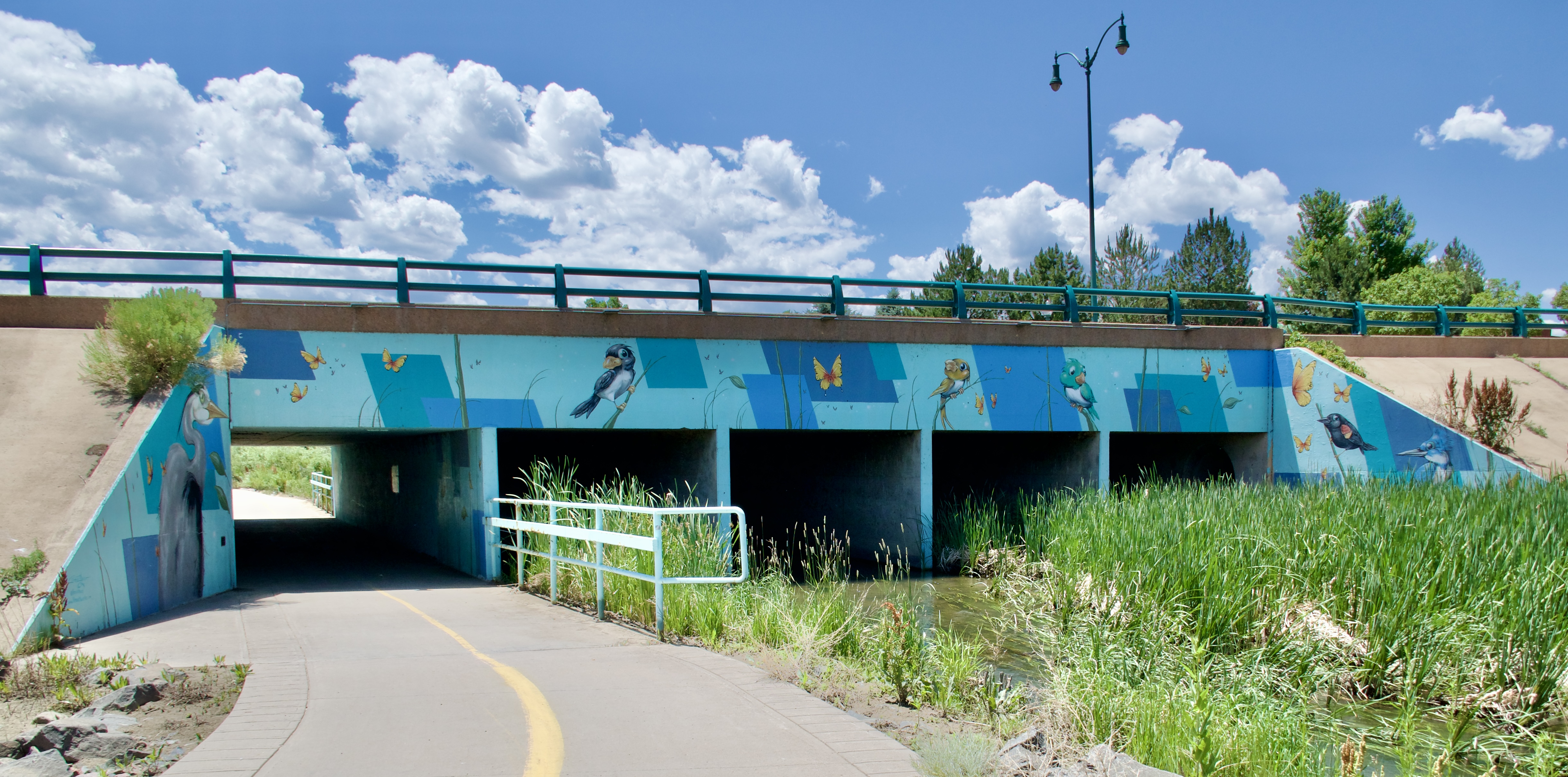
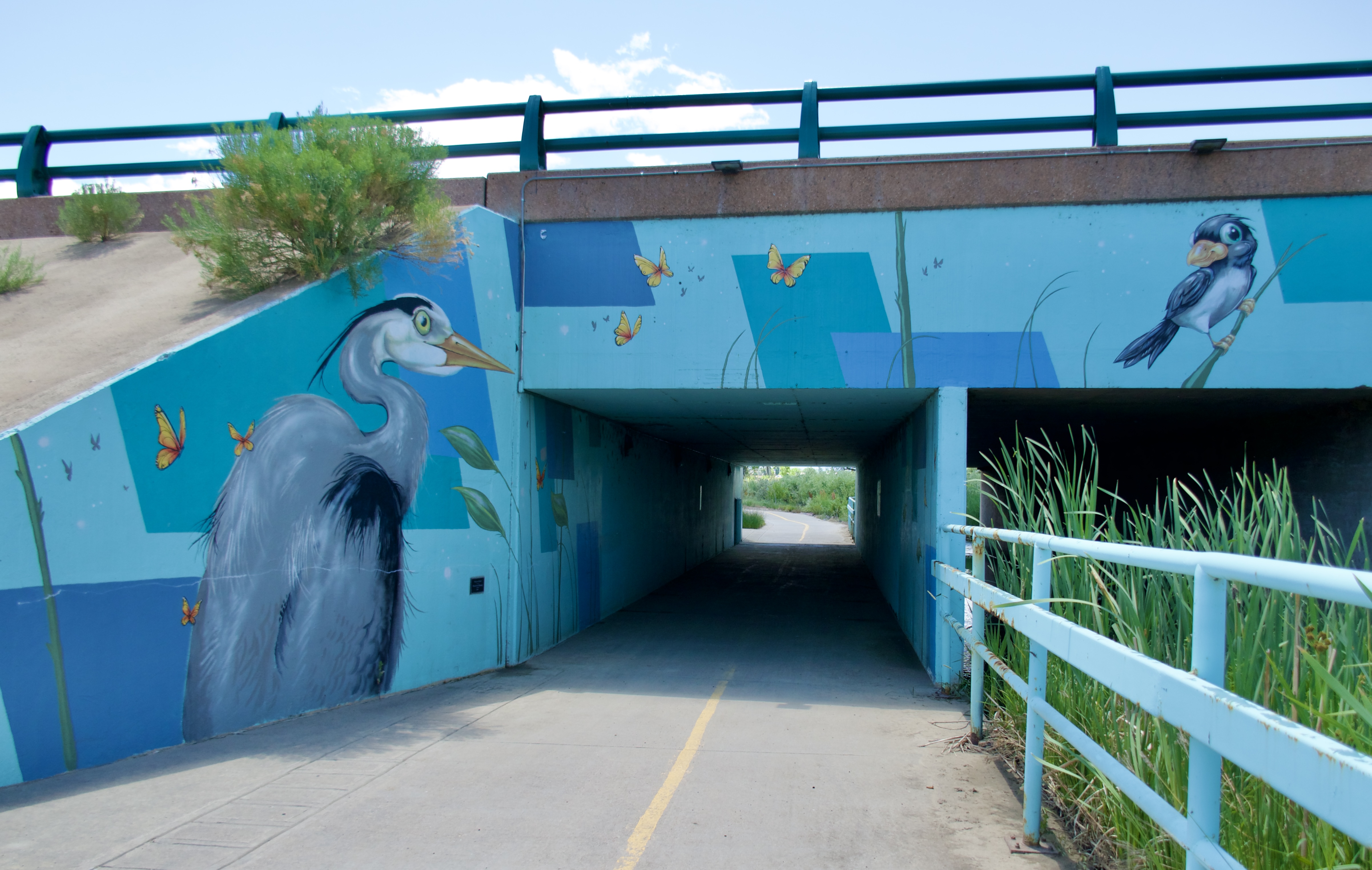
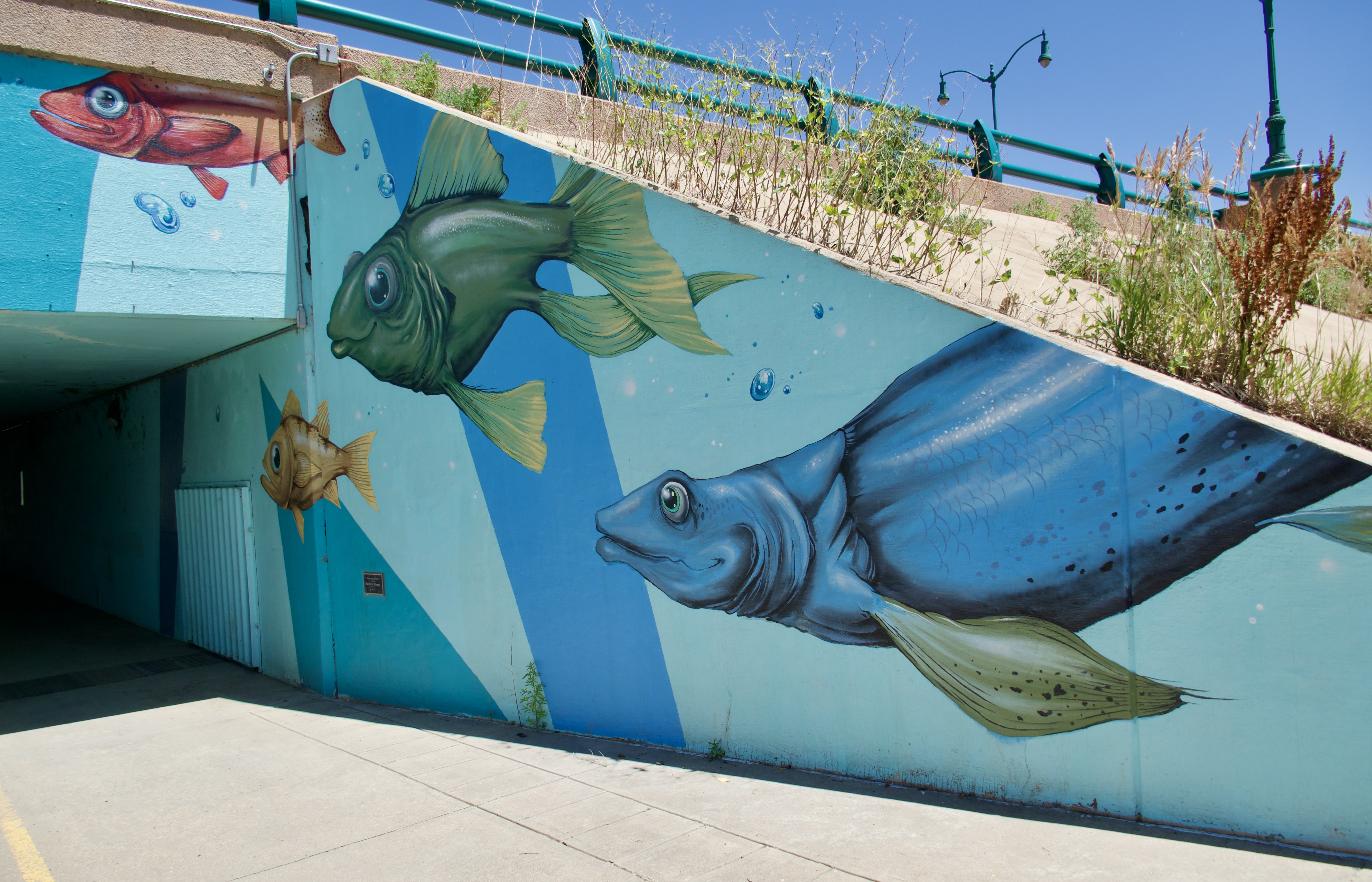
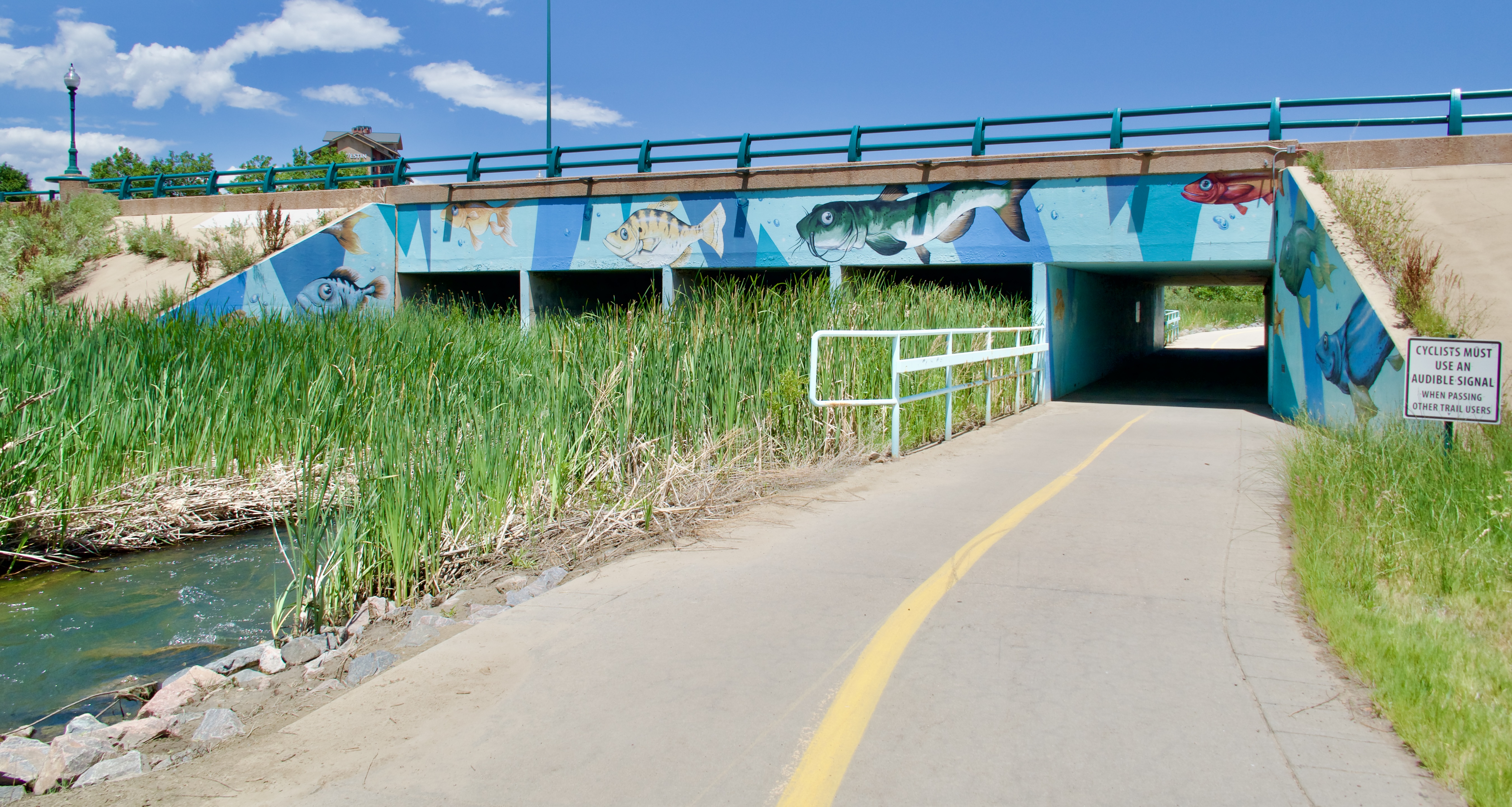
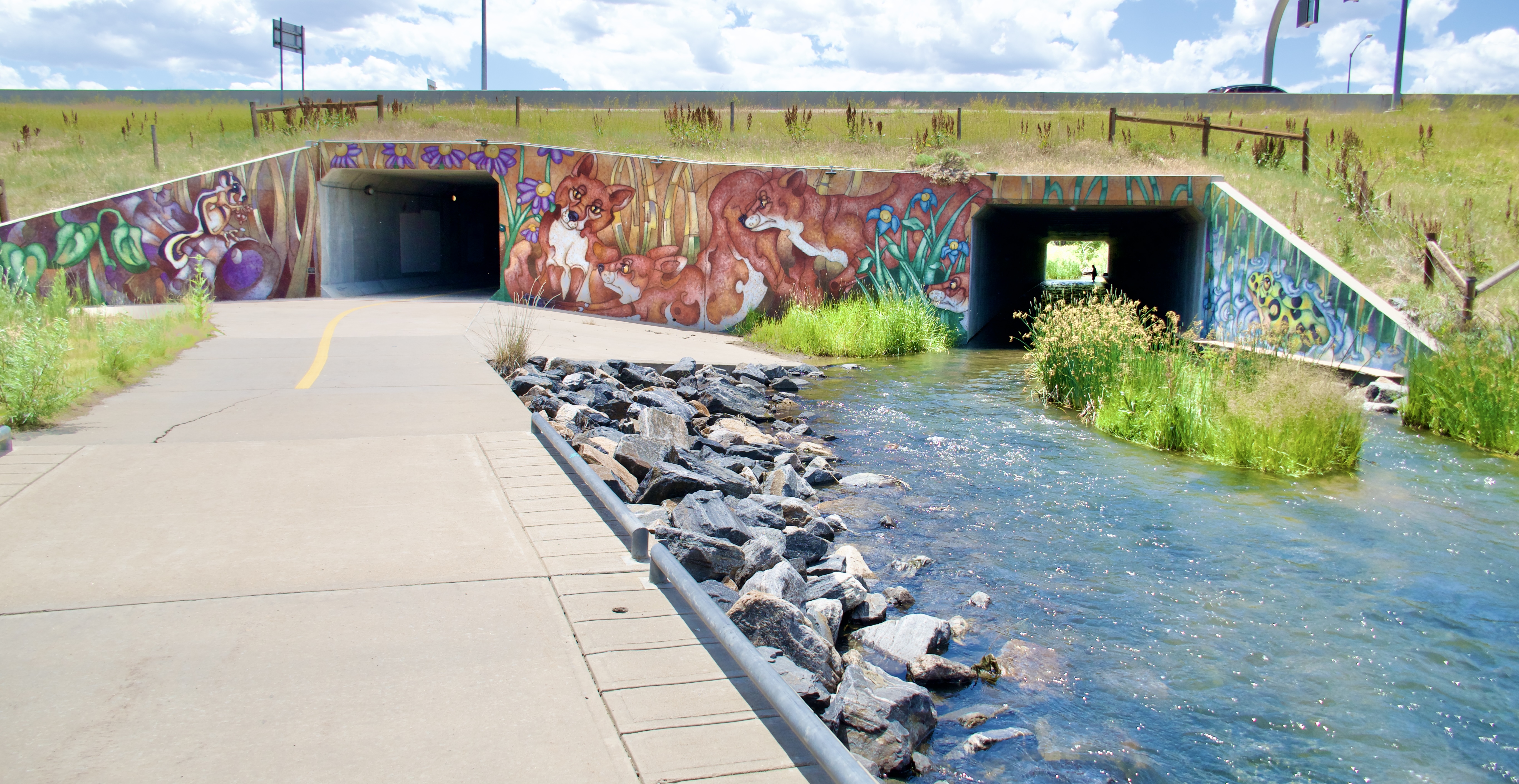
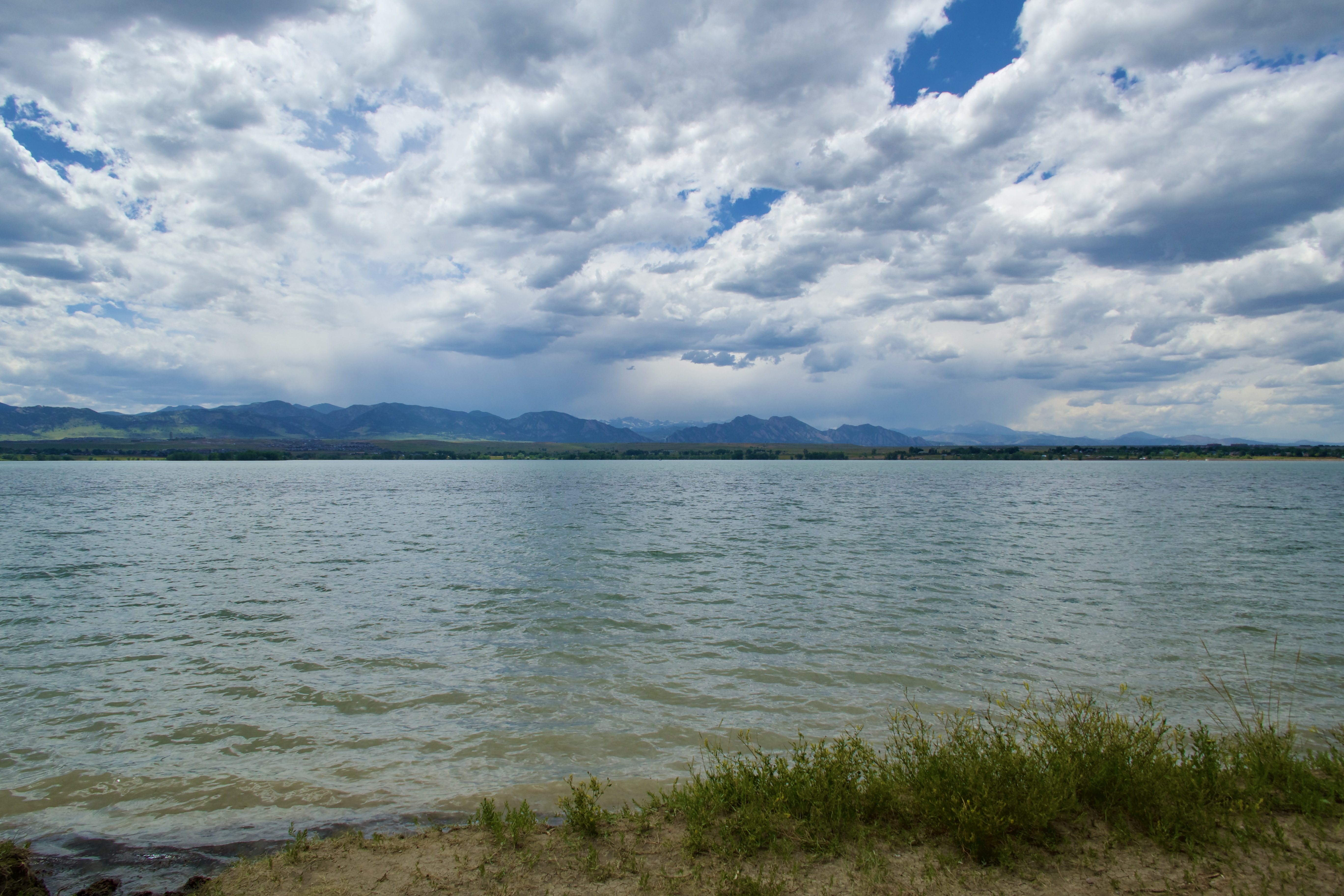
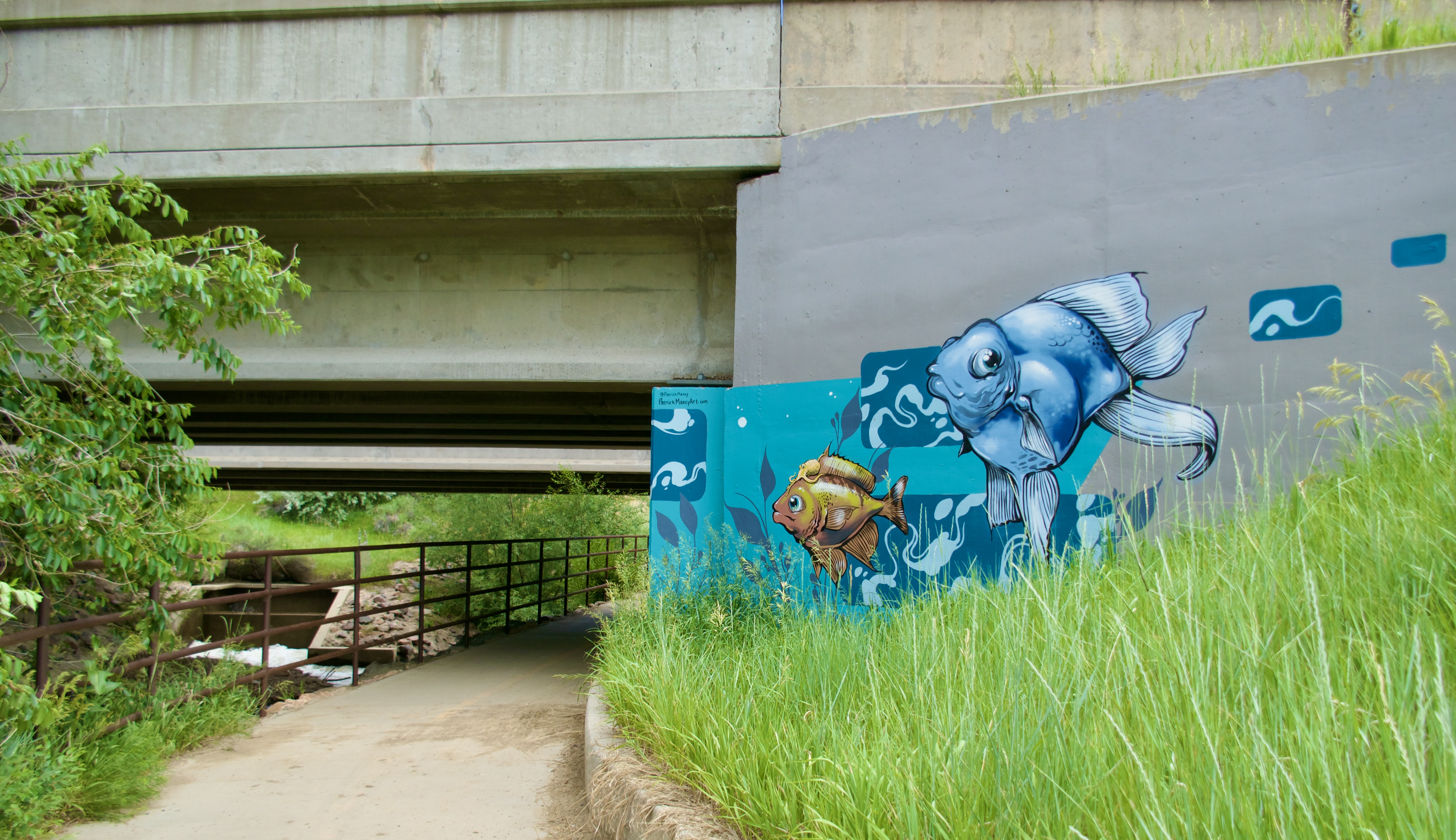
But as I continued reading through those old posts, I noticed something else. So many outings. So many road trips, explores, museums, zoos, theme parks, riverwalks, trails, mountains…so many adventures. It started with that first walk up Mt Rubidoux and around the Mission Inn, right after the marriage ended. I did not want timid, oversheltered kids. I didn’t want them to turn out like Steve, afraid of anything different or unfamiliar. So we spread our wings and explored all of the things.
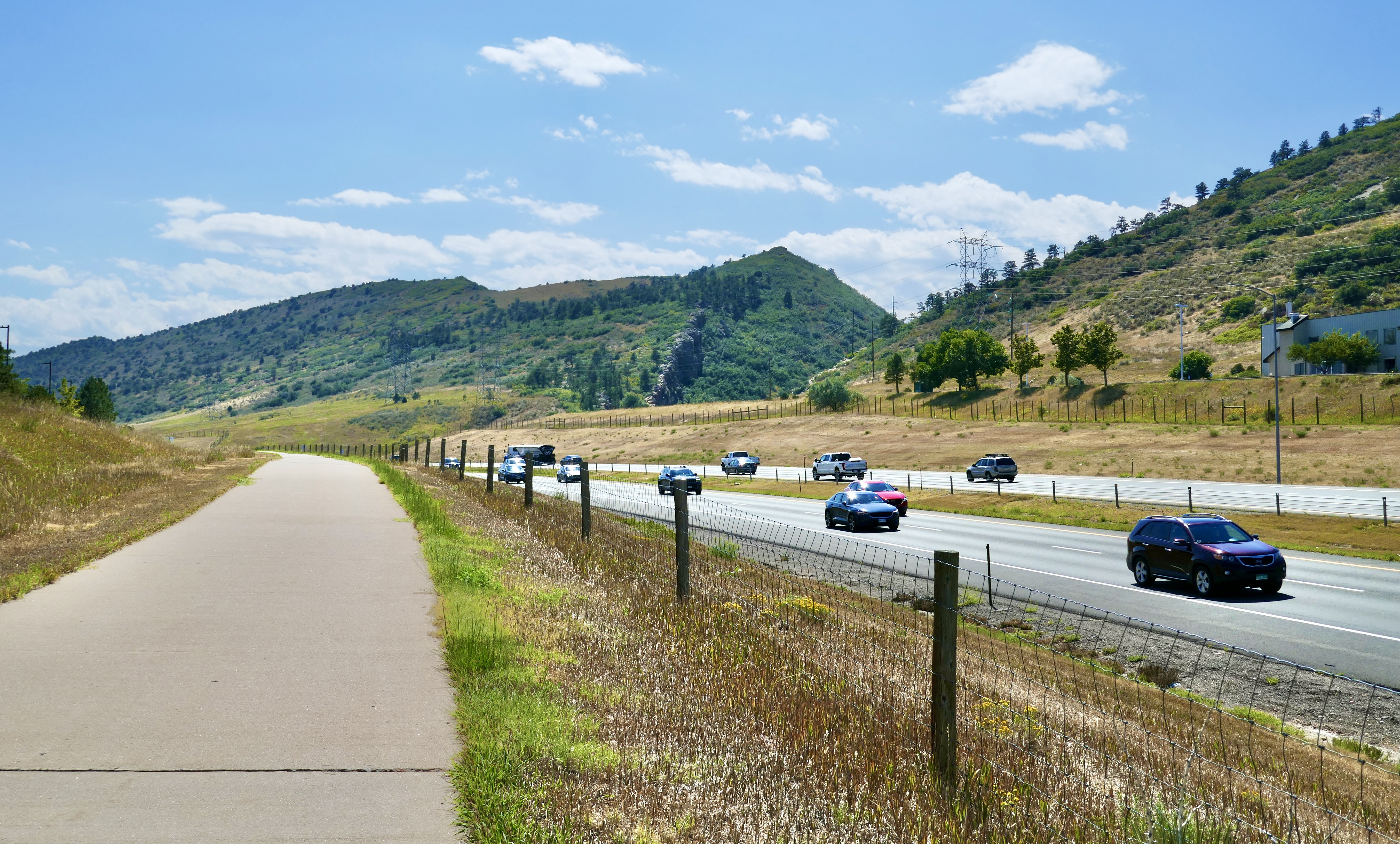
I mentioned this to Luke and Elizabeth in the family chat, and they both started talking about how these experiences shaped their lives. Luke said, “This very much defined me, all those trips.” It’s true; even as I type this, he is spending his long holiday weekend in New Mexico. He thinks nothing of tossing a duffel bag into his car or truck and heading out of state for a day or two. In the event of an apocalyptic crisis, he will know all of the escape routes without needing to consult a map.
Elizabeth would travel more if she could afford it, but even so, she saved up for the exact car she has wanted since she was seven years old–a 2005 Honda Pilot–bought a plane ticket to Ohio to pick up the one she found in her price range, and then drove it back to Arizona, with a short detour here to pick up some more of her stuff. That is no small accomplishment for a girl who just got her driver’s license this past summer.
She also treated herself to a solo trip to Disneyland and California Adventure in November.
I did not want them to grow up timid or oversheltered, and indeed they did not. This is a comfort to me. And really, they still have their whole lives ahead of them. Maybe Elizabeth will publish a graphic novel and it will be a huge hit, the first of many. Maybe Luke will find his niche in Chicago or, I don’t know, Cleveland? and do great things there. I feel like we’re nearing the end of a chapter, but certainly not the end of the book.
These are, as the saying goes, interesting times. Old world dying, new world struggling to be born. The time of monsters. But also a time of possibilities. It feels like anything could happen.
And finally my heart is at peace again. I look forward to seeing the next chapter unfold.