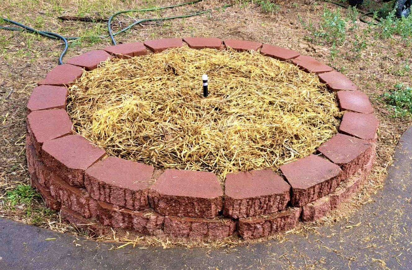
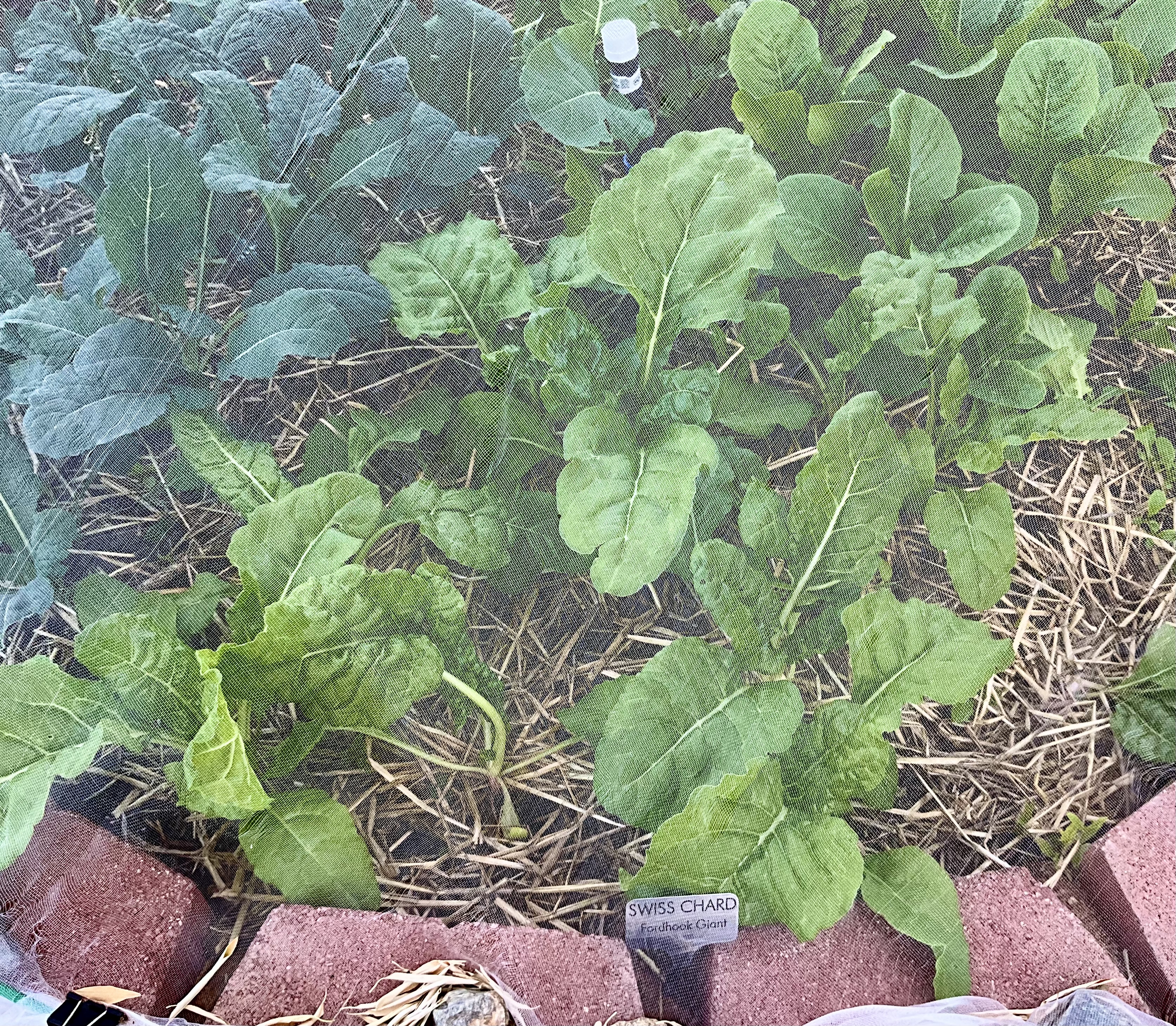
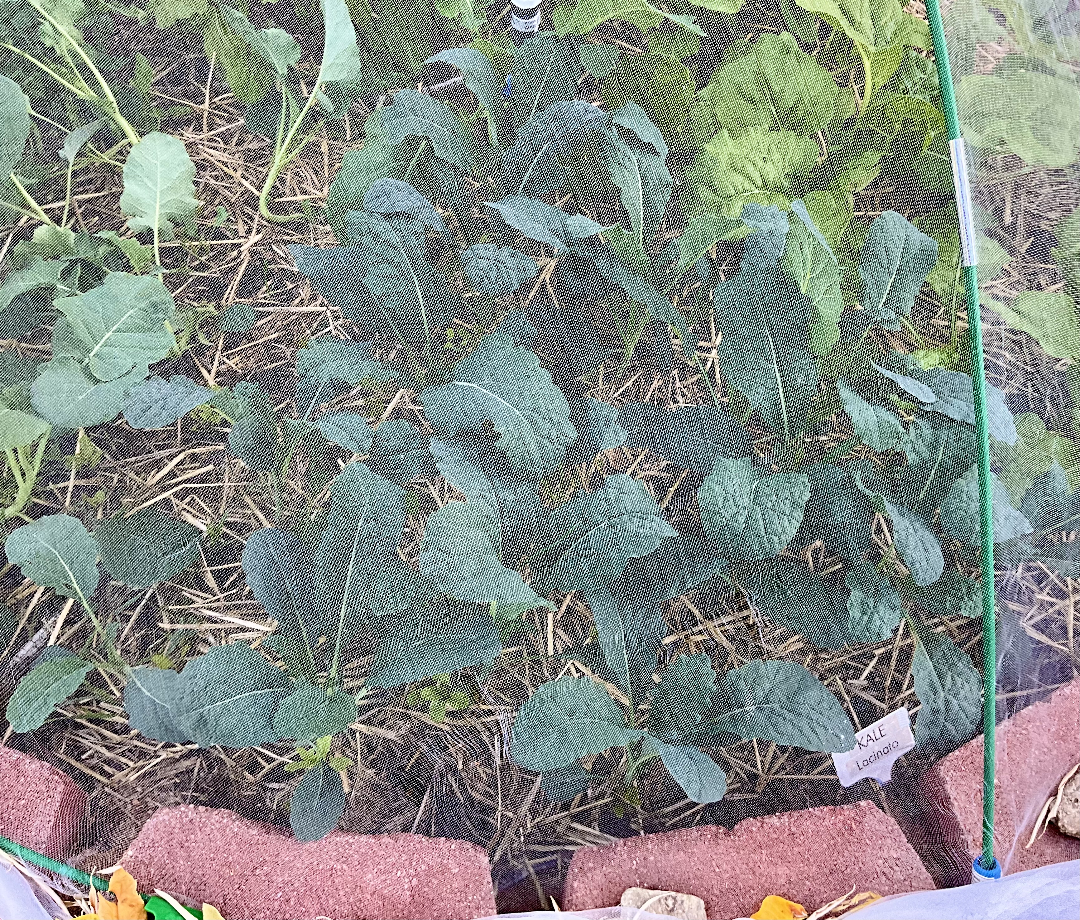
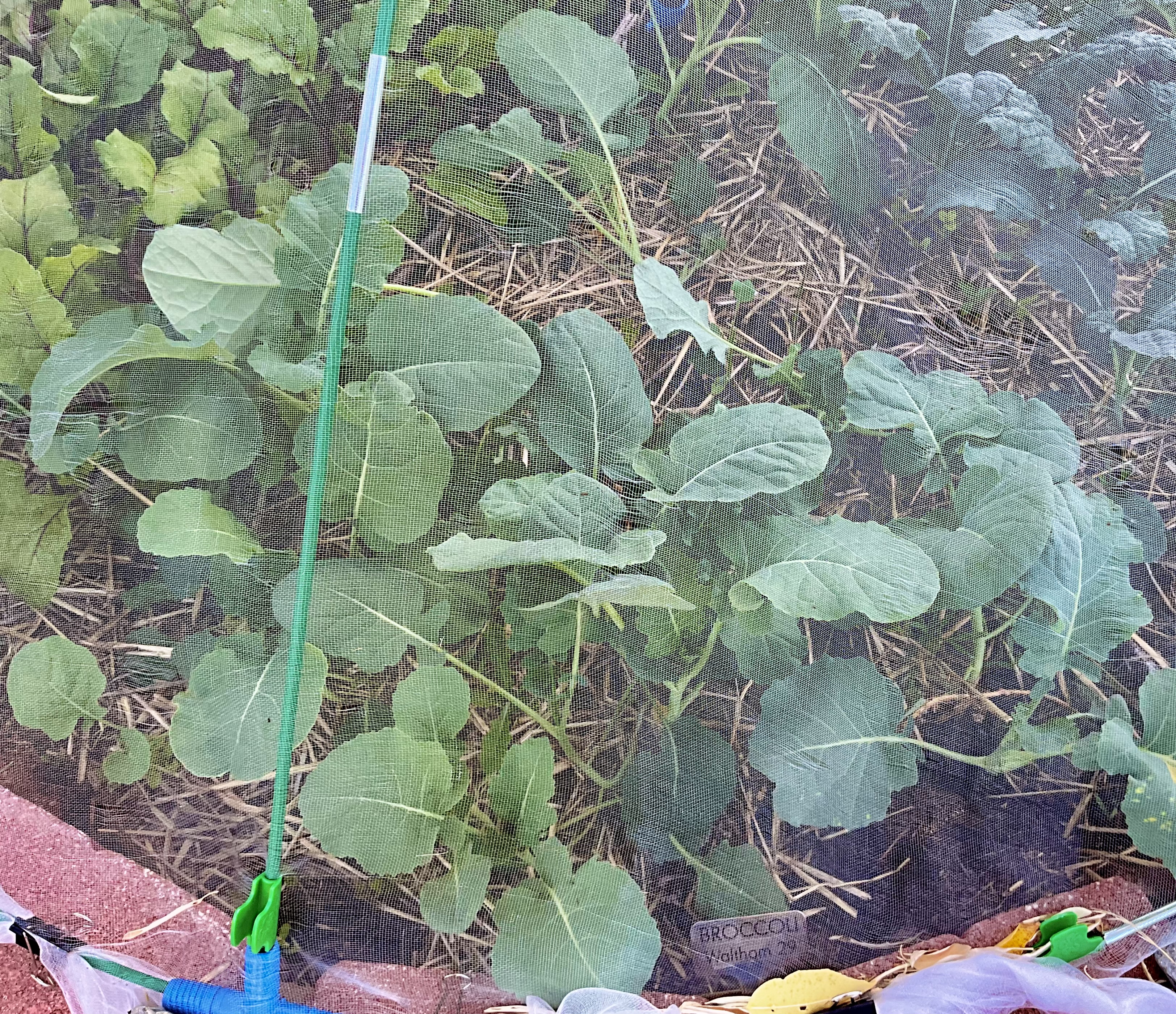
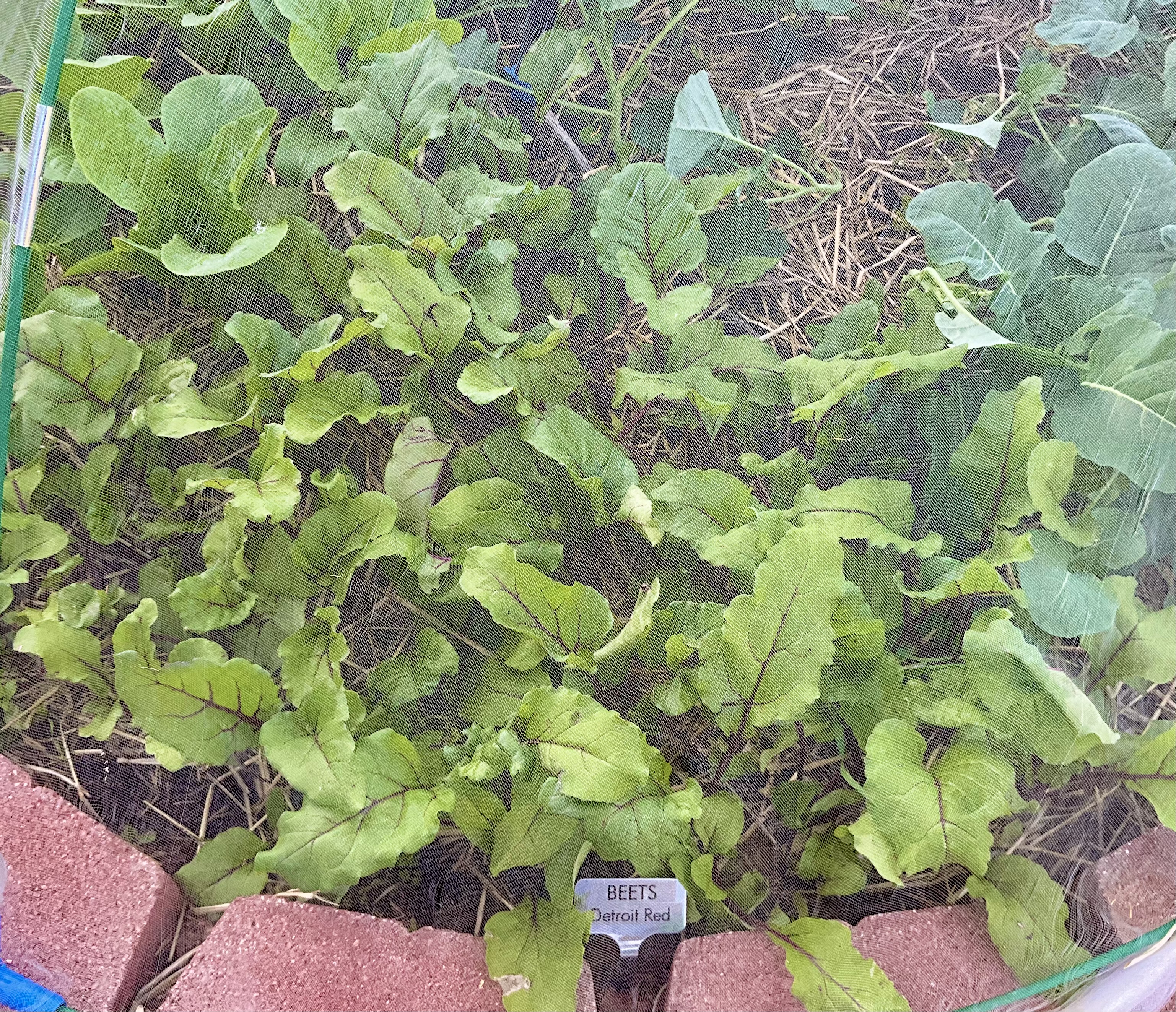
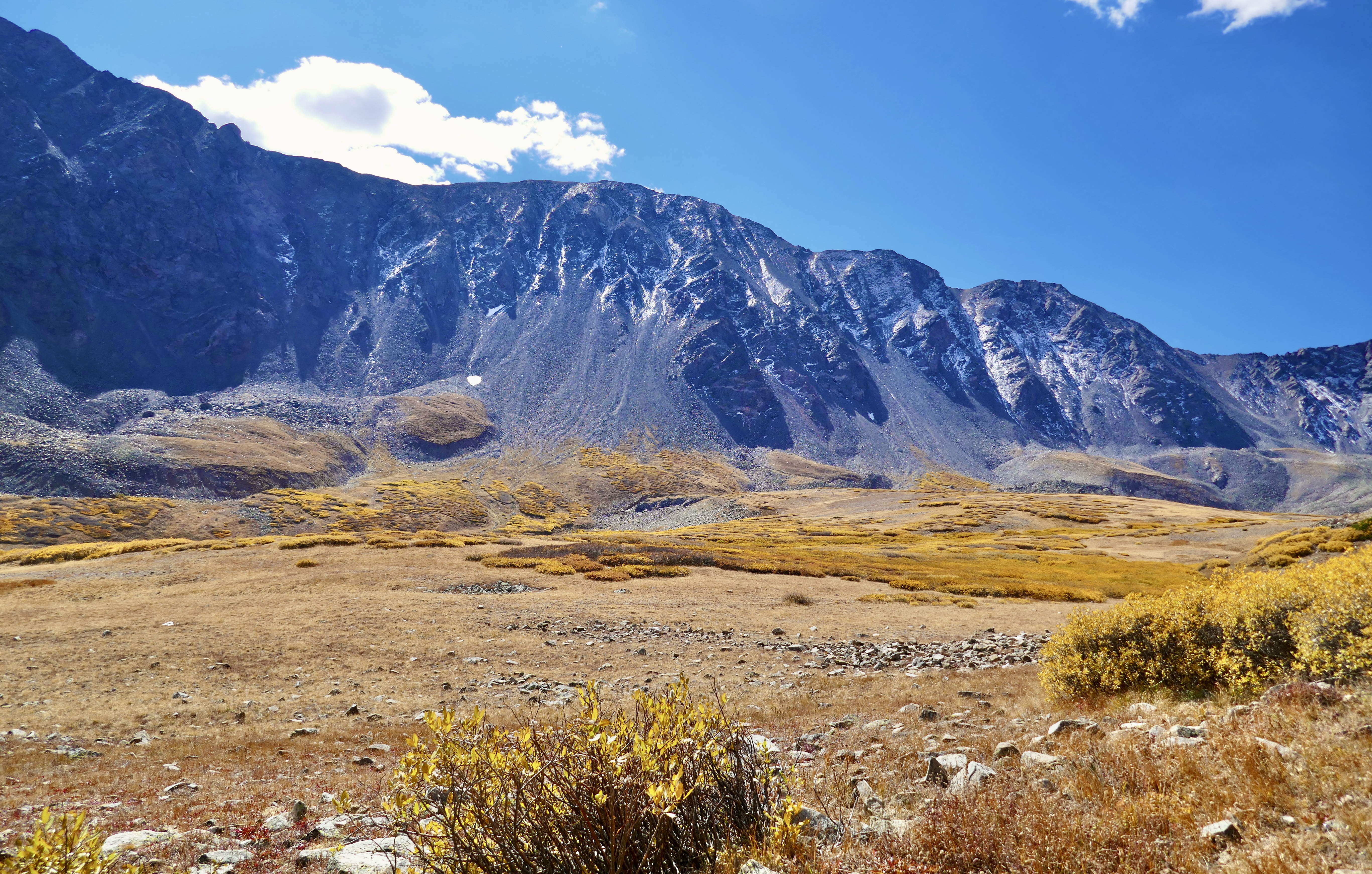
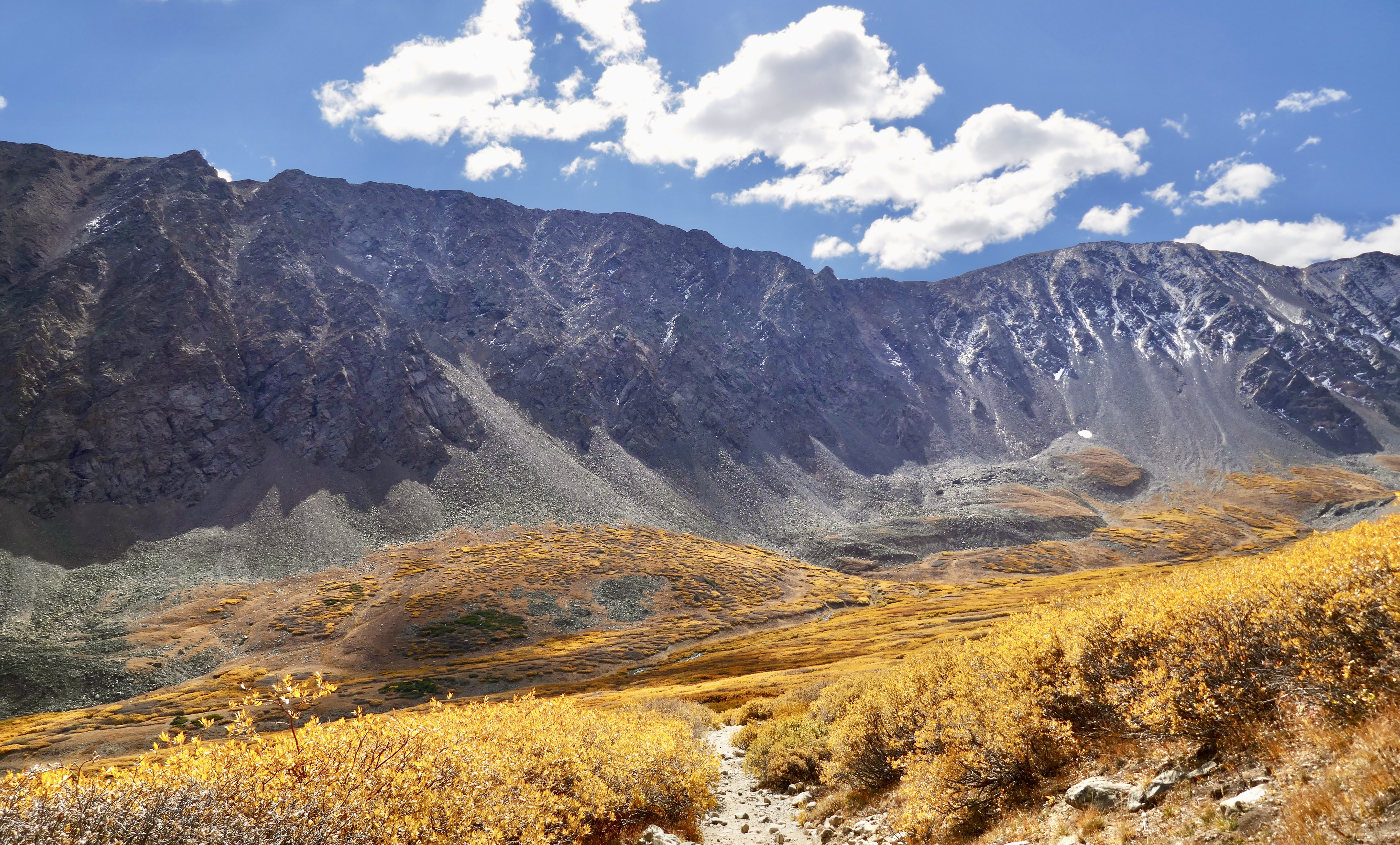
I had a hard time coming up with a resolution for 2026. There’s a ton of yard and garden stuff I want to get done next year, but I don’t need any special motivation for those things. I can’t wait to get started on them.
I could resolve to finish the book I’m writing. That’s doable. There are only a few chapters left, I know how it ends, I would just have to sit down and start typing. The problem is that I would have to do it instead of those other things I want to get done. And in these interesting times, planting a garden seems to have a higher ROI than publishing a book. Even a really good book. A vast multitude of corporate middlemen have inserted themselves between modern artists and their audiences to extract nearly all of the monetary value for themselves. Cory Doctorow wrote a great blog post on the subject.
I’ll still finish the book at some point, I’ll still publish it, most likely via Amazon self-publishing because I hear that’s where most of the eyeballs are. It’s a great story and I want it to be read and enjoyed. But it’s a rough time to be a creator of any kind right now, especially if you’re trying to make any money at it. For now I’d rather focus on the garden.
There are a couple of other things in particular that I would really, really like to see happen in 2026, but I have no way of influencing those outcomes. I just have to watch them unfold and hope for the best. No resolutions to be made there.
I considered resolving to include a small firefly habitat in my backyard plans. Fireflies are native to this area, they should be here, but they haven’t been spotted around these parts in decades, because we destroyed their habitat. We drained their wetlands into concrete canals, replaced their native plant shelters with mowed lawns, raked up the leaves they used to overwinter in, poisoned their food sources, disrupted their mating signals with artificial lights. They may never come back. But the Butterfly Pavilion is working on a project to breed our native fireflies in captivity and reintroduce them to their Colorado range. If that’s successful, it would be nice to give them a place here to thrive. The topography of my backyard lends itself to what I had in mind. But then I did more research and realized that fireflies need particular kinds of trees for their lifecycle, and I have no room for more large trees in my yard. I can give them a place to hang out, but I can’t give them a place to live and breed.
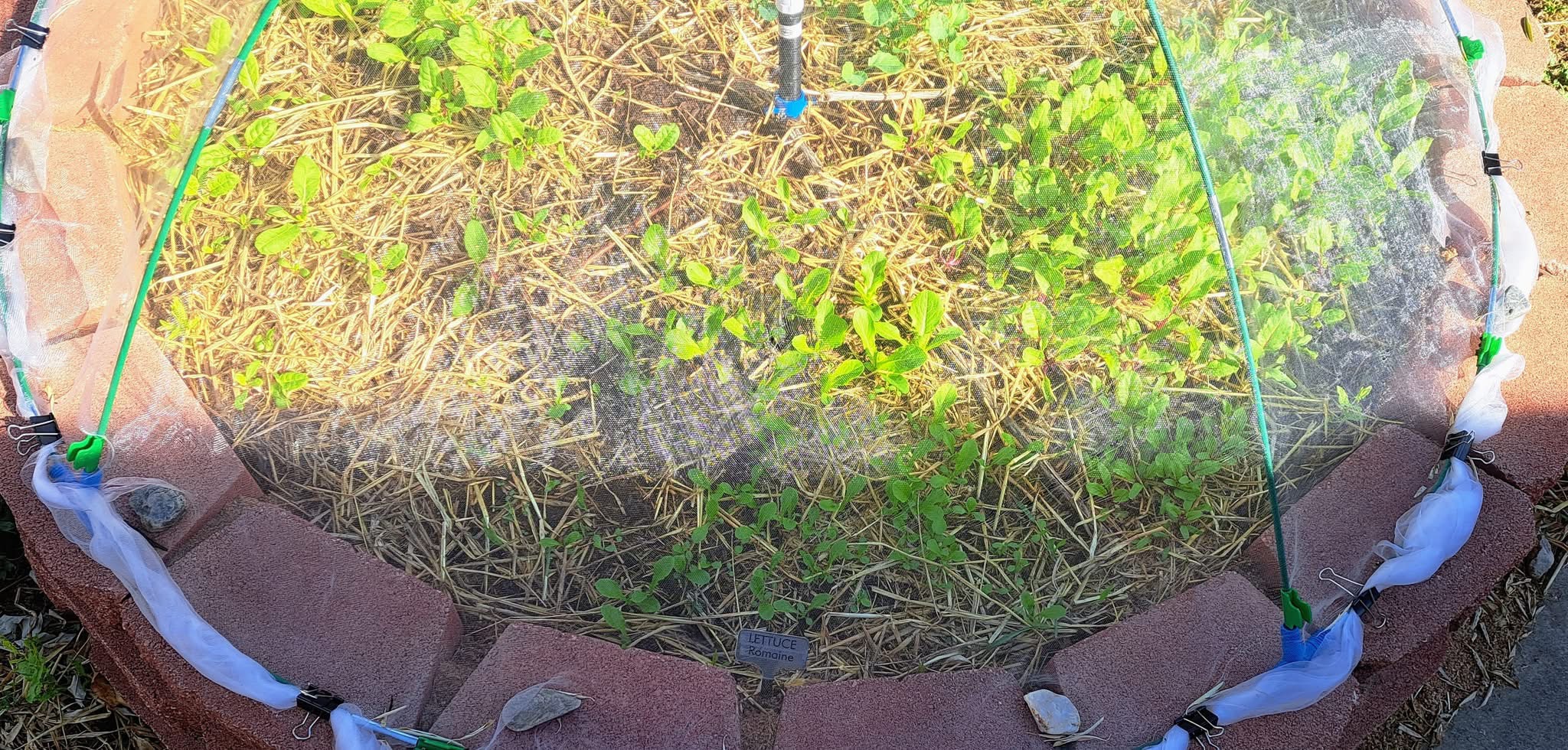
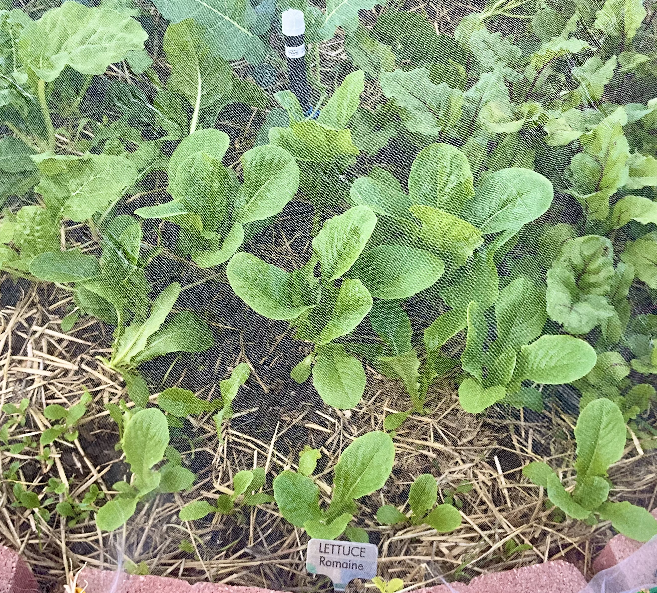
In the end I settled for a sorta cop-out resolution: I will complete one addition chapter of my book. I can do that in between gardening and other projects. It will keep me from drifting too far from the story; I do want to finish it eventually.
And even though I can’t create a firefly habitat in my backyard, I can add some native shrubs and wildlflowers for birds and pollinators. Some of them are starting to go the way of the firefly, it’s honestly depressing. I’m happy to restore a corner of my yard to its prairie roots, or as close as I can reasonably get to that.
Here’s hoping we all see a little restoration in the coming year.