
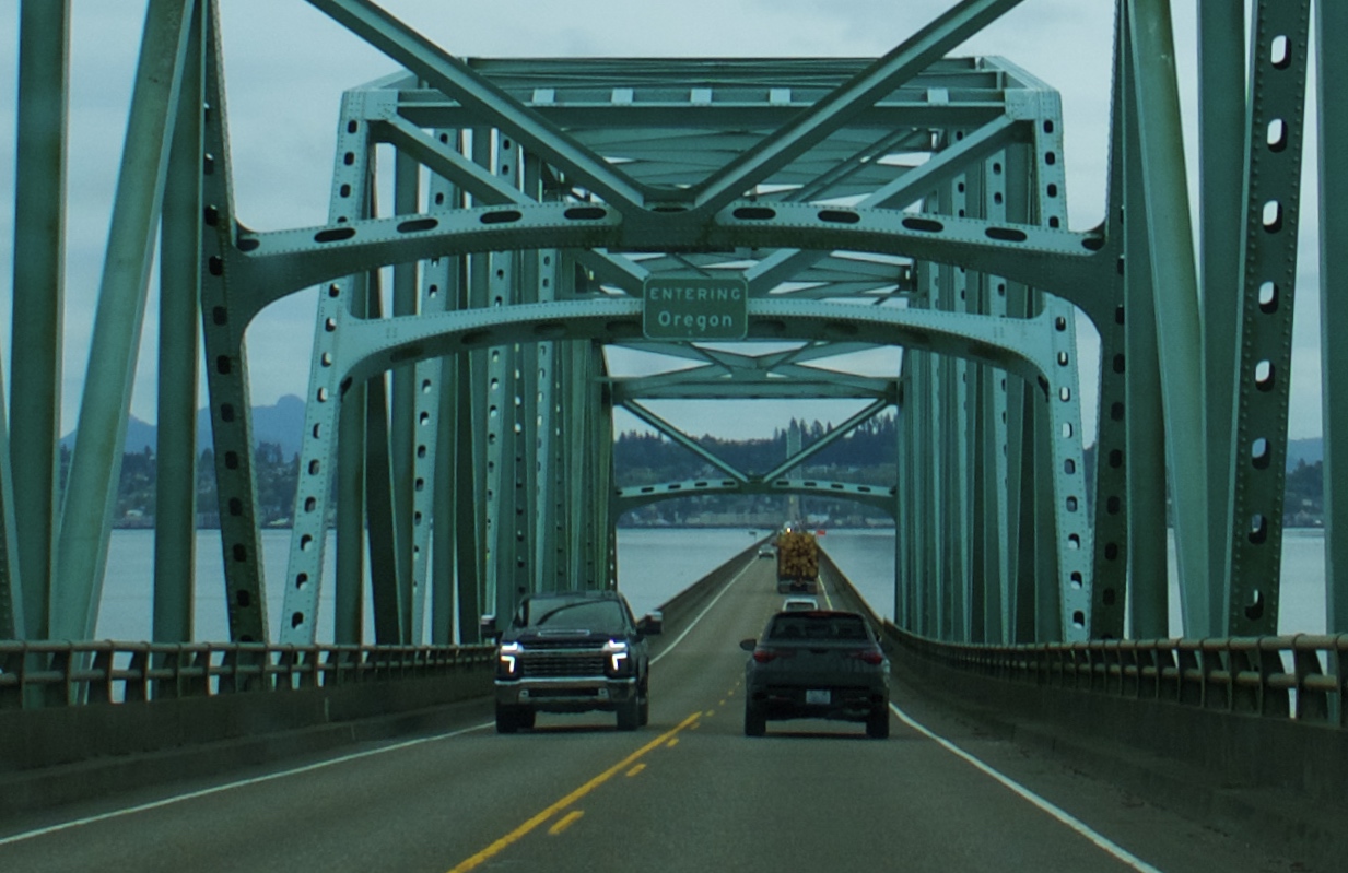
On Tuesday morning we left Lake Quinault Lodge and continued south on 101, crossing the Columbia River back into Oregon.
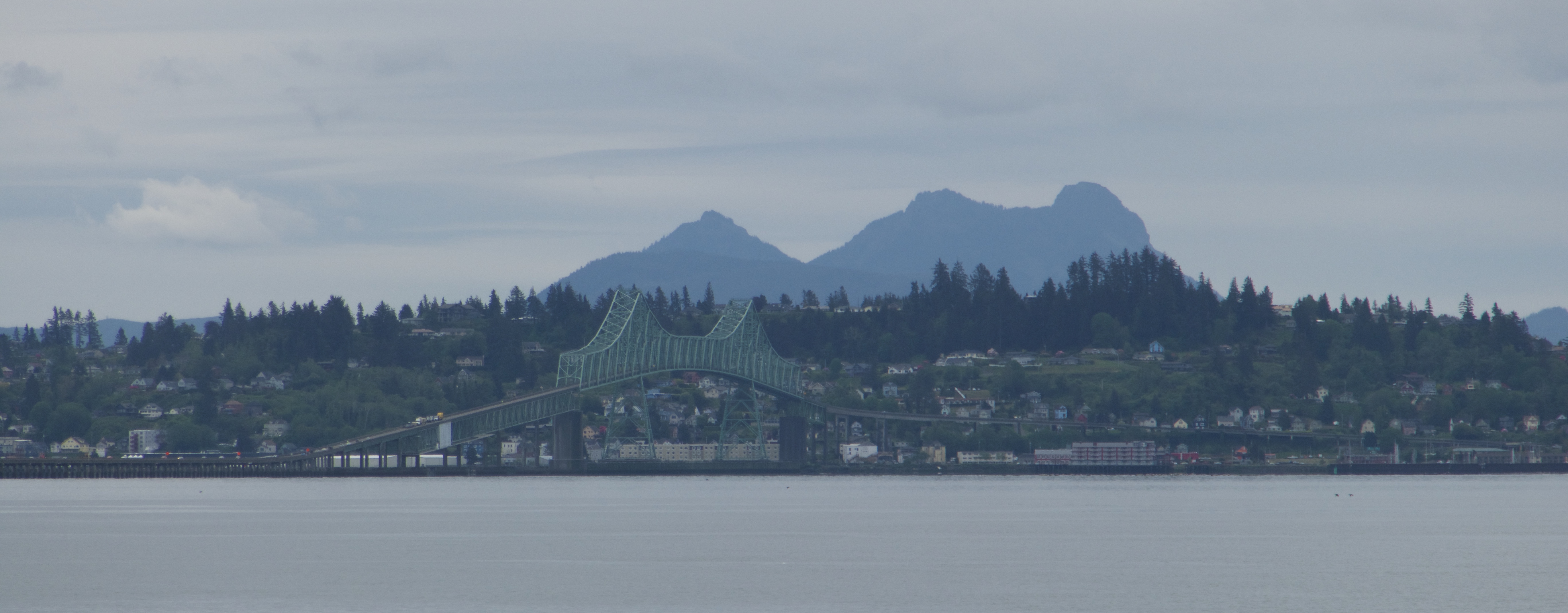
We had spent three days on the Olympic Peninsula and it had not rained once. As we drove through Astoria and headed down the coast, fat raindrops began to spatter intermittently against the windshield.
The Oregon coast is a magical place, partly thanks to a 1967 law that made the entirety of the Oregon shoreline public land. “The People’s Coast” is relatively undeveloped and pristine compared to the 101 corridors of Washington and California. It looks like what I had imagined Washington would look like before I went there. Northwest Oregon is greener, lusher, and in my opinion more beautiful than its neighbor to the north. I’m kind of in love with it.
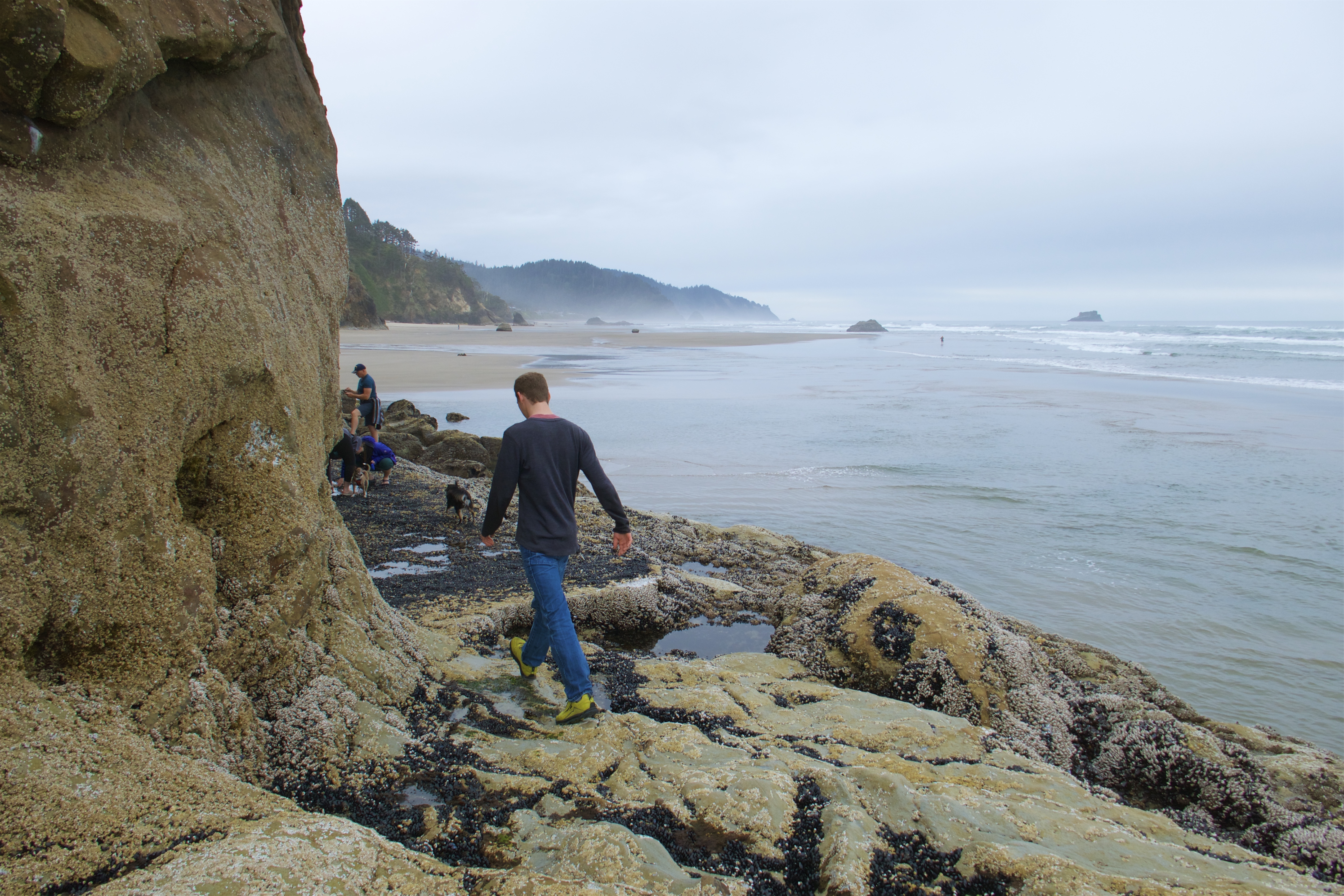
Our first stop of the day was Cannon Beach, known for its tide pools and for Haystack Rock, which is way bigger than it looks in photos.
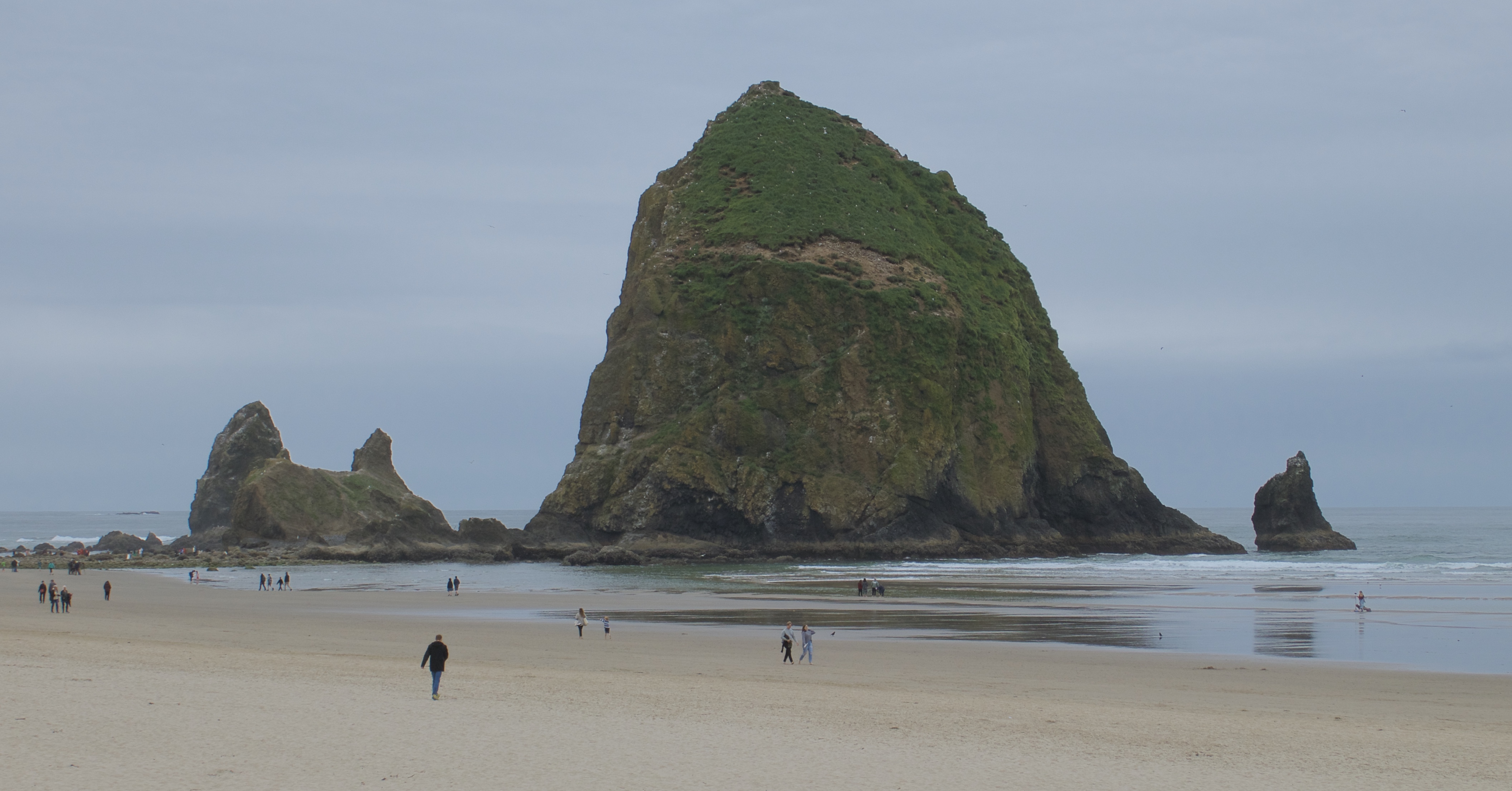
This time we arrived at low tide!
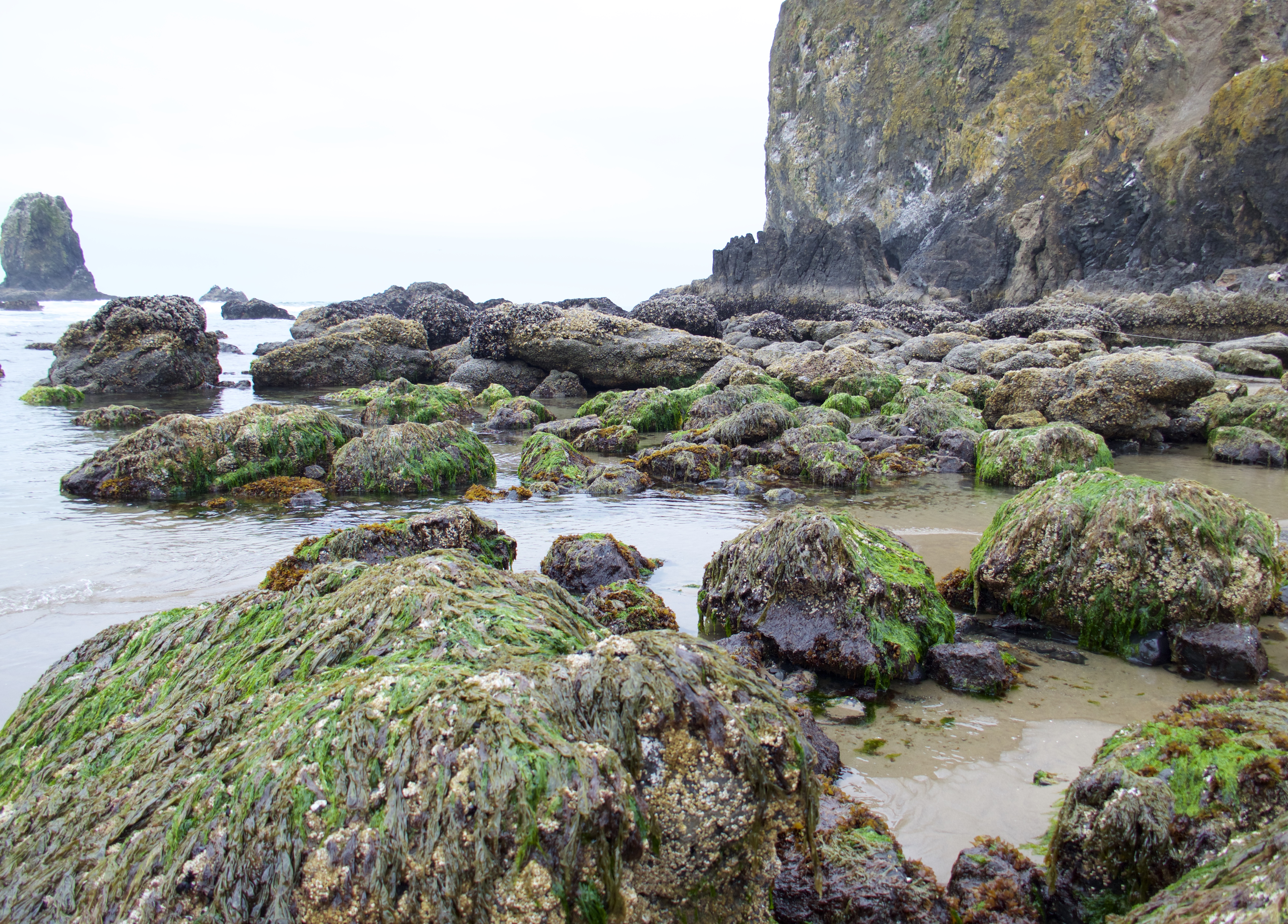
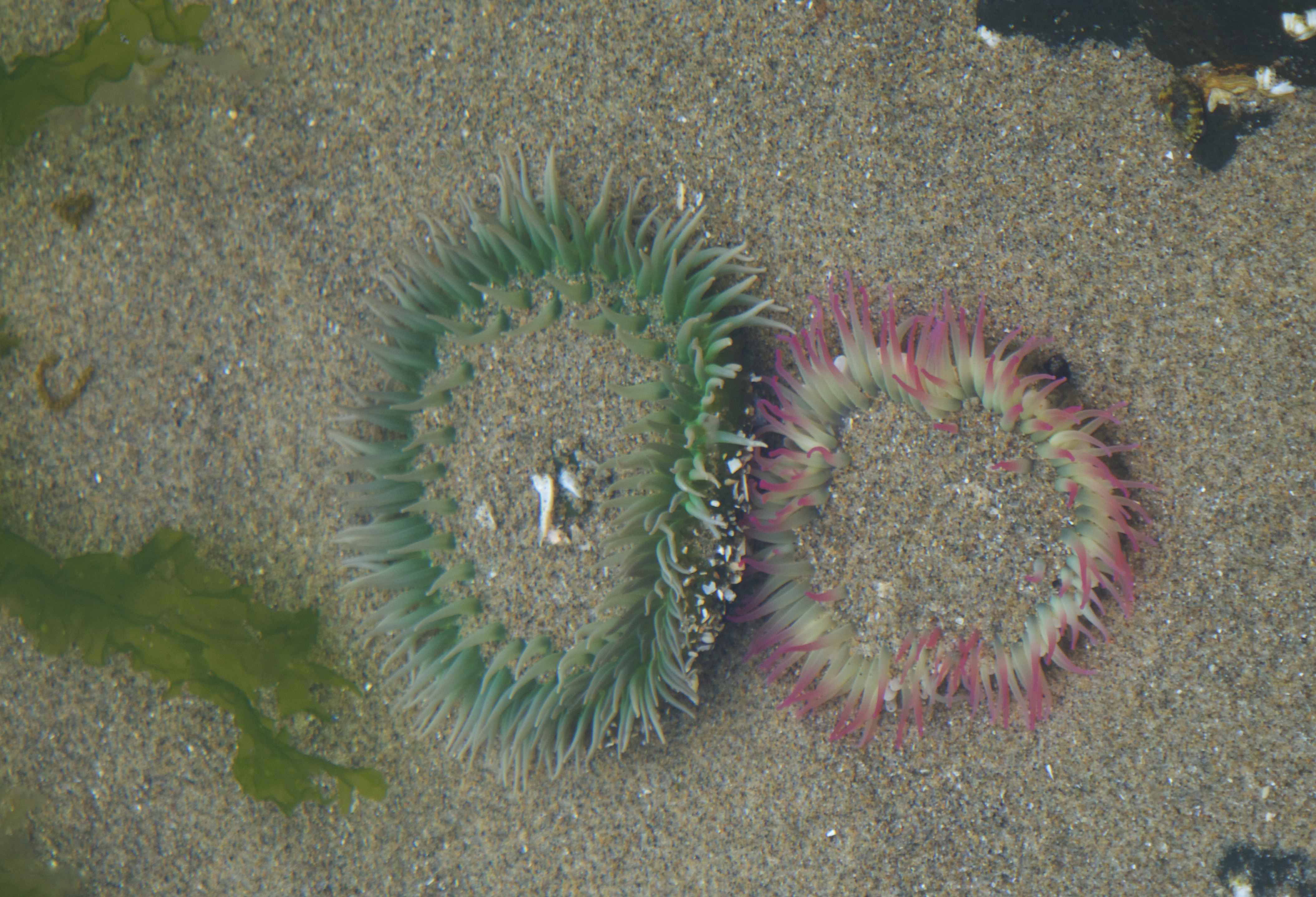
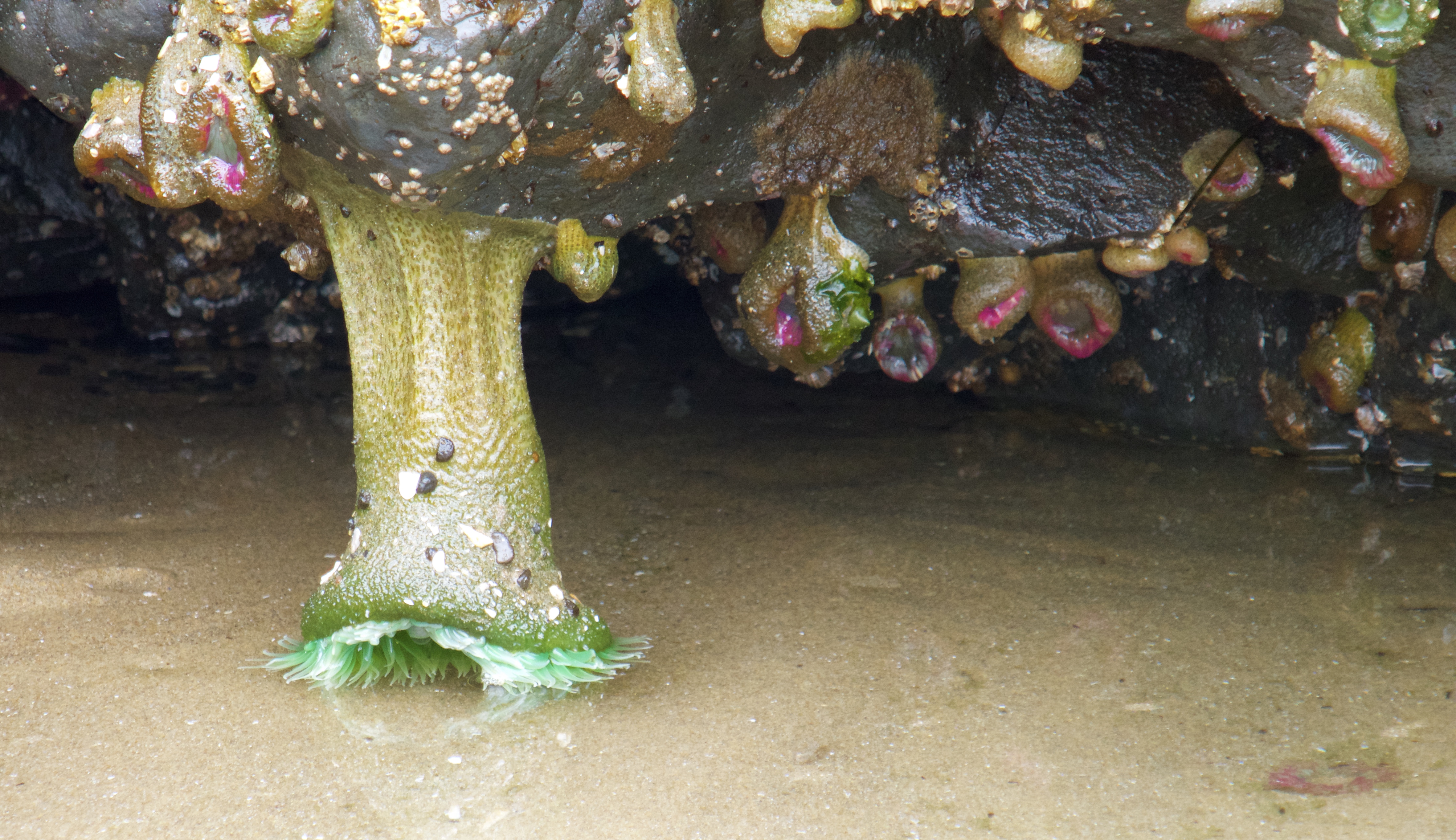
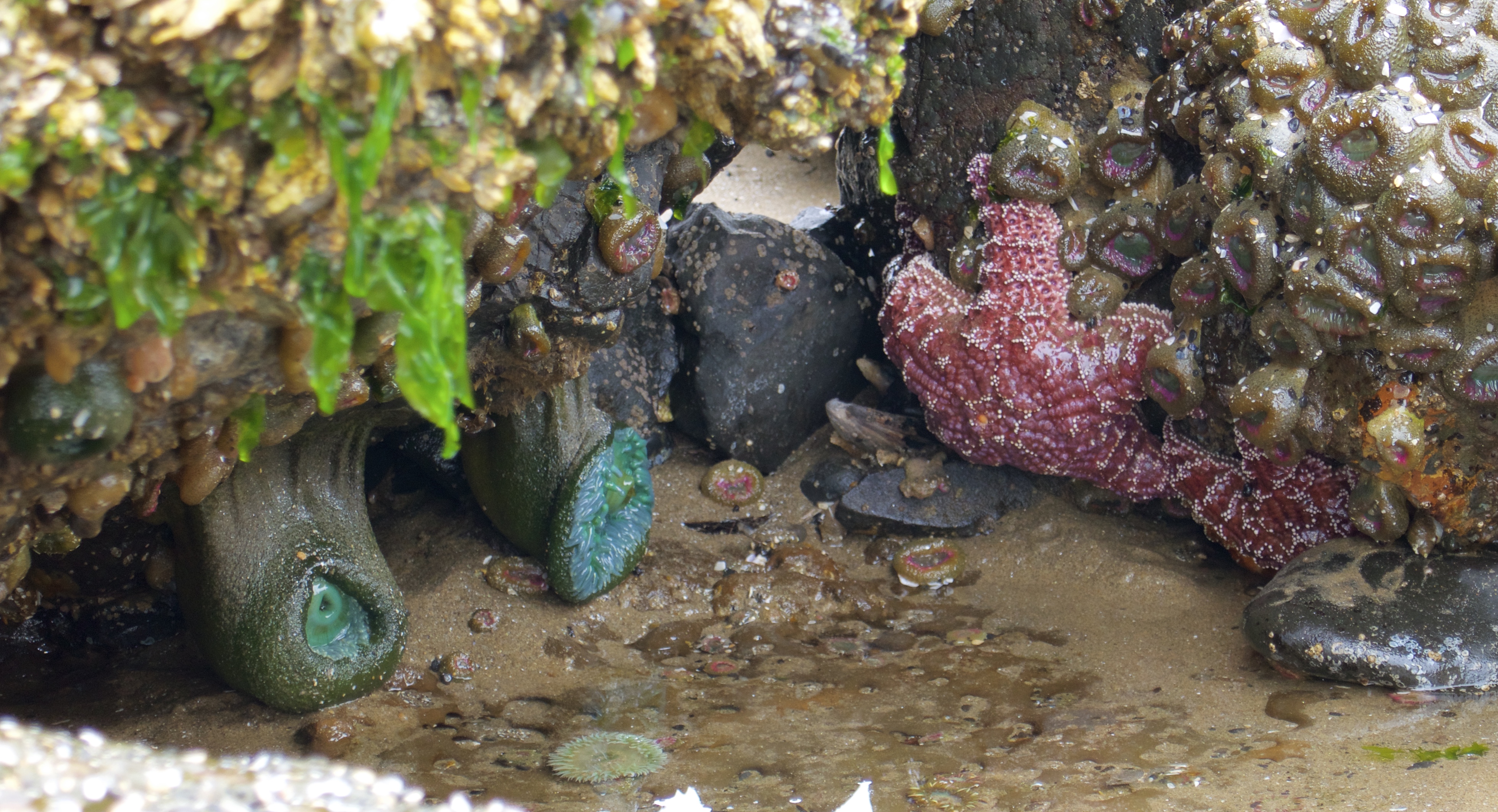
The Pacific coast from Alaska to Mexico has lost about 90% of its starfish population since 2013 to a plague of Sea Star Wasting Syndrome. These tide pools used to be filled Ochre Sea Stars, and now you have to look hard to find them.

But there is plenty of other life to be found.
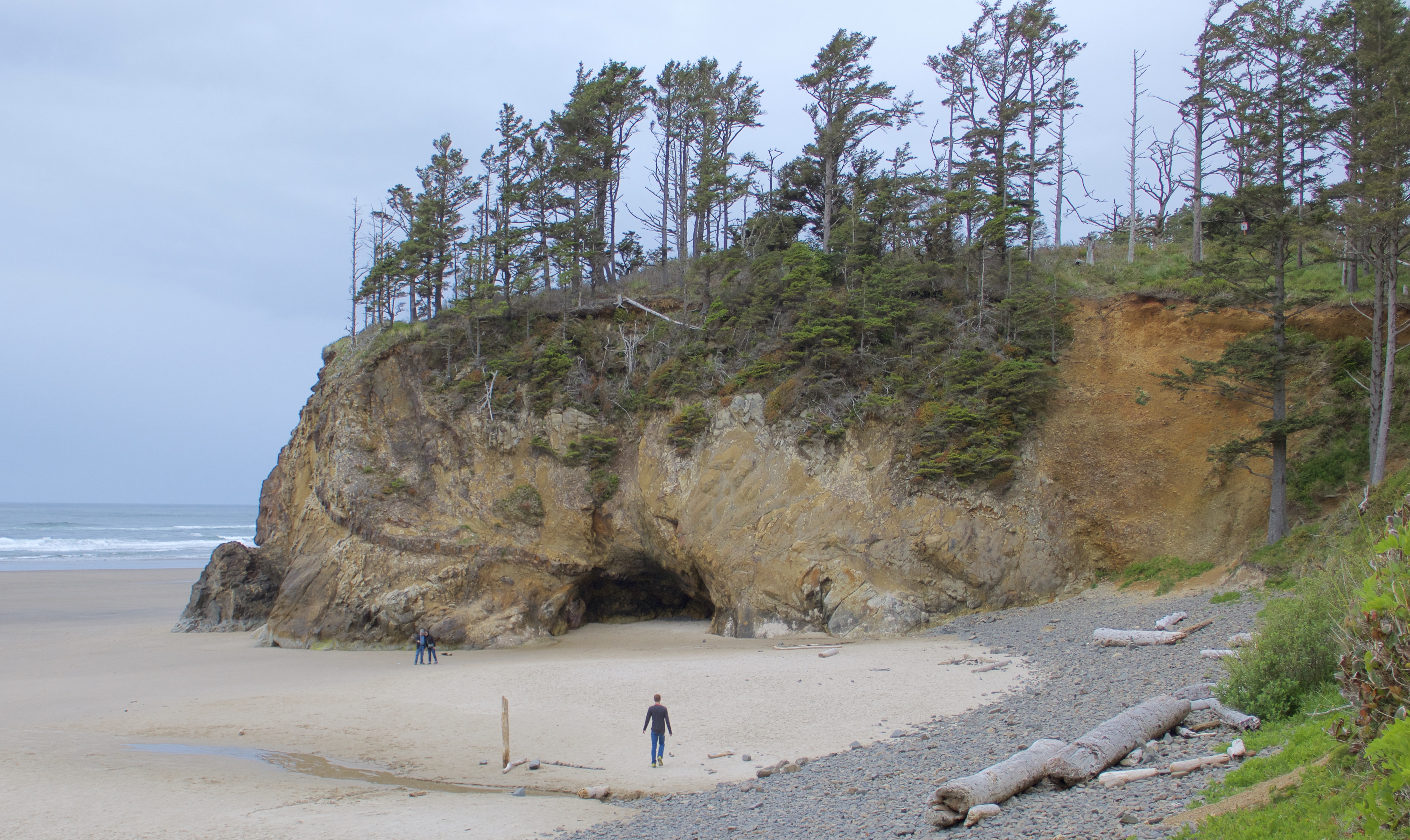
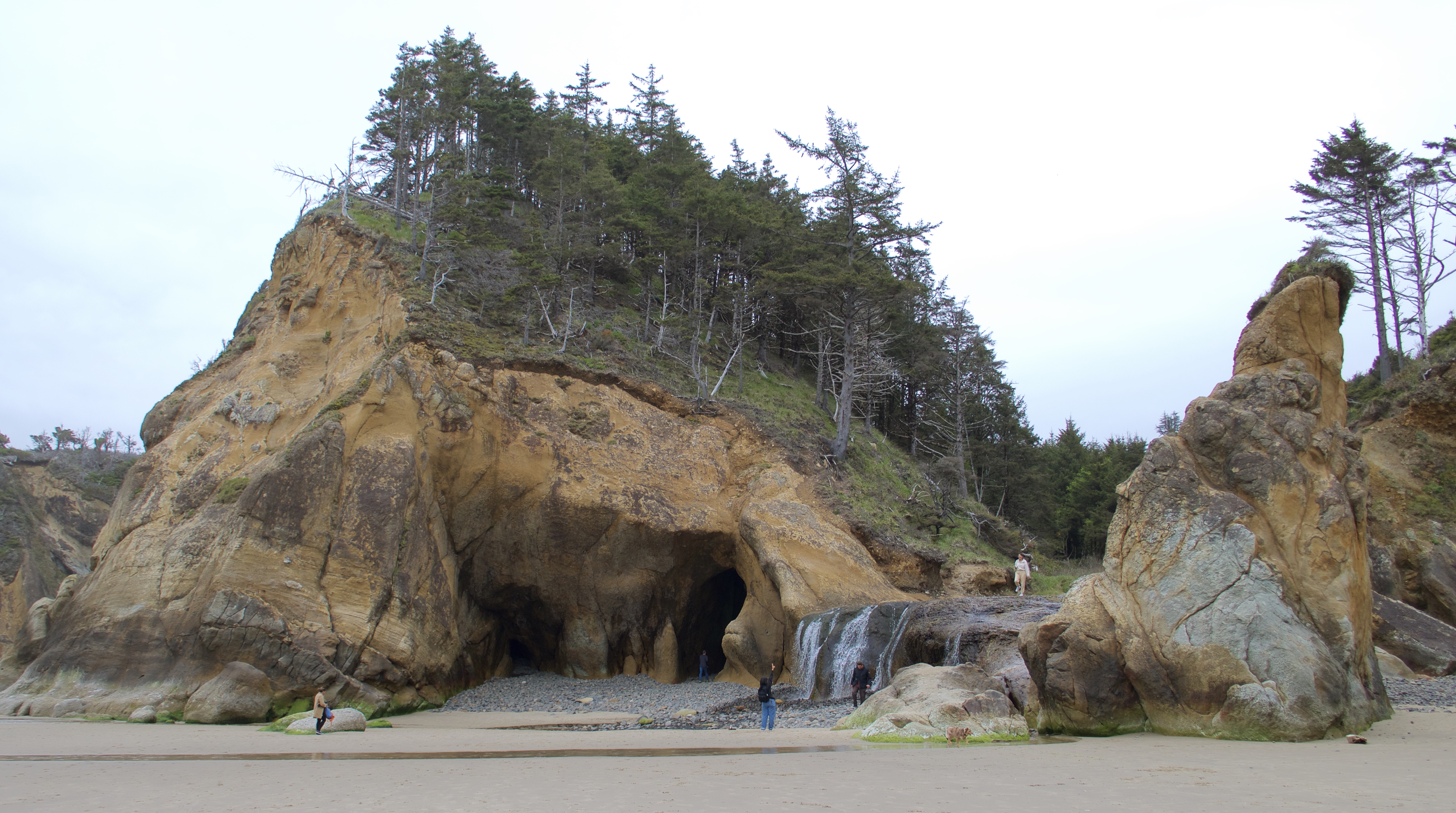
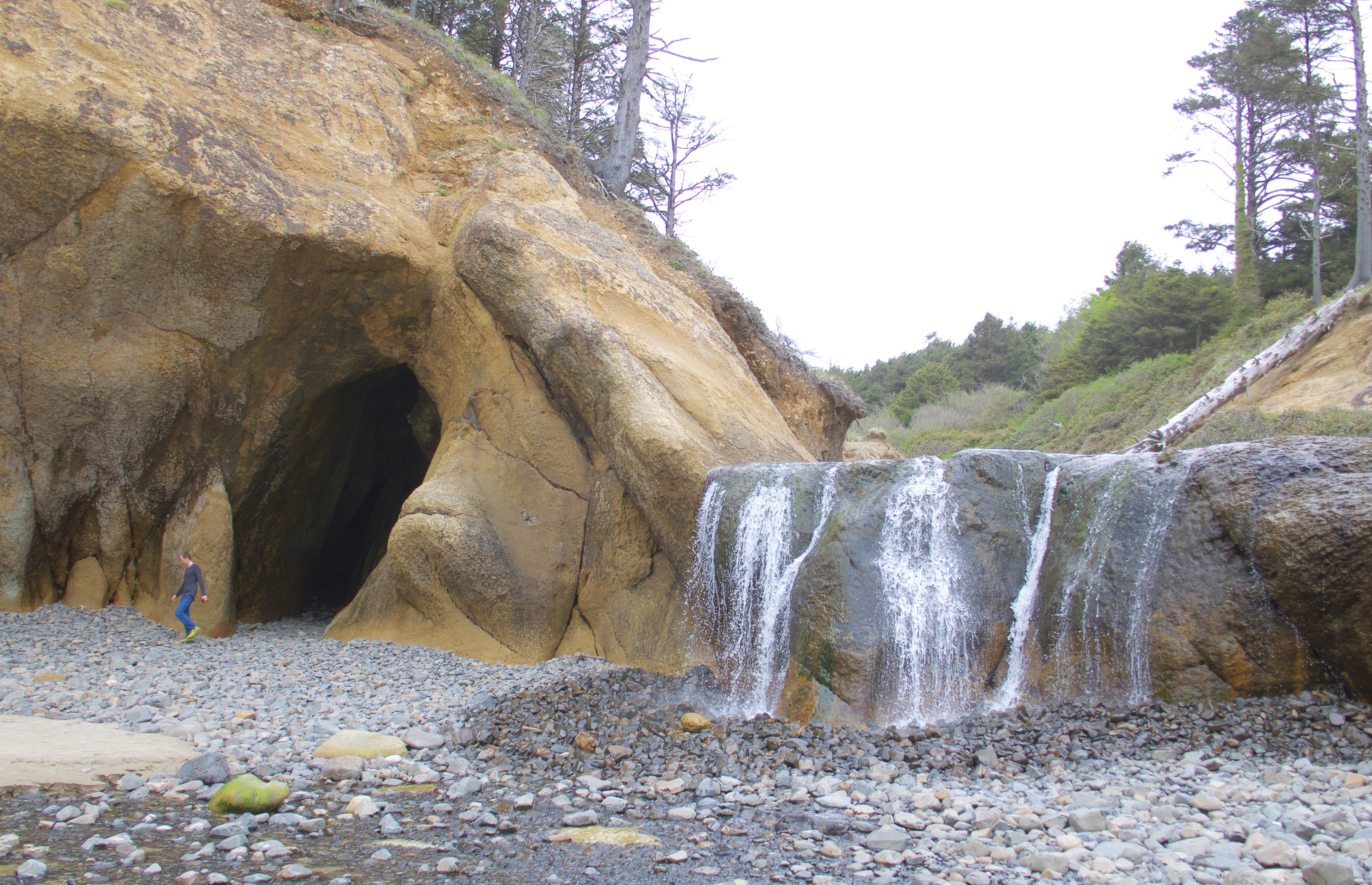
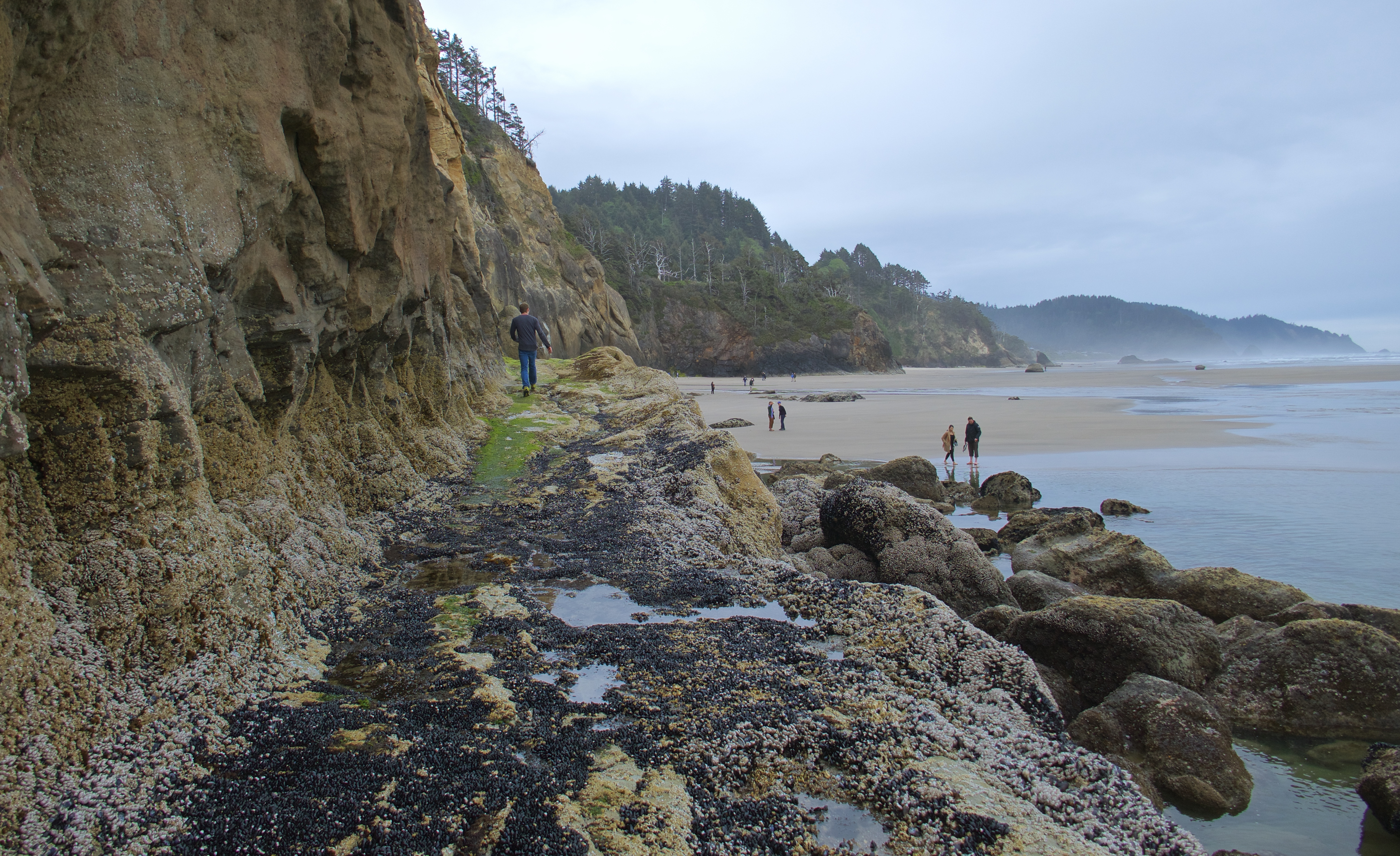
After Cannon Beach we visited Hug Point, where we found caves, a waterfall, and an old coach road!
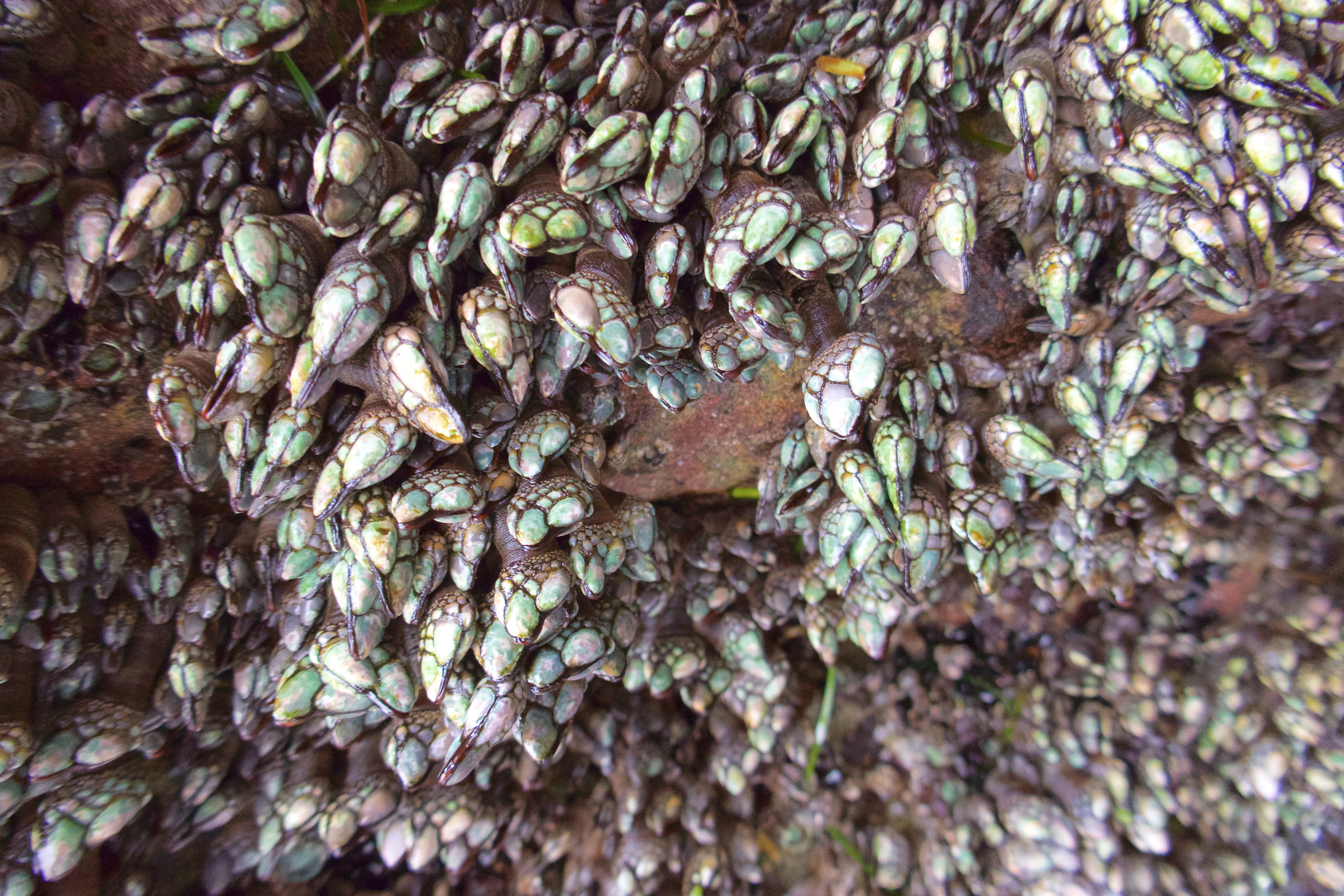
One of the caves looks like it’s encrusted with jewels.

These are gooseneck barnacles, and apparently they are a delicacy in some countries.
The greenish slope in the bottom left of this photo is the “onramp” to the old coach road:

Back before 101 was built in the late 1930s, people used the Oregon shoreline itself as a public highway. It worked out fine for the most part – unless you needed to get past Hug Point. The big rocky outcropping created a barrier that could only be bypassed at very low tides. So the coach road was carved into the outcropping, enabling traffic to travel up and down the coast even at high tide.

Imagine driving an old stagecoach on this road!
It was here at Hug Point that I set my phone, camera, keys and glasses on a patch of “safe” sand so I could play around a little in the water. Just as I was about to gather them up again, a rogue wave swept up the beach and rolled over them. The phone, keys and glasses were fine, but that was the end of the camera. I salvaged the memory card with its precious cargo of photos, and basically treated it like the Hope Diamond until I was able to create a backup. For the rest of the trip, the GoPro stepped up and did a pretty decent job.
We stopped in Rockaway Beach to see the Mechanical Bucking Corndog in front of the original Pronto Pup, where corndogs were invented. The Pronto Pup was closed and the quarter mechanism was out of order, but you can bet we all got our turn sitting on the corndog!
Photo courtesy of my crappy phone camera:

Our next stop was a tour of the Tillamook Creamery. We wandered through the exhibits and the viewing windows, got our free samples of cheese, and then bought an absolutely obscene amount of cheese-related food in the cafeteria. Grilled cheese, mac and cheese, cheese curds…we were eating leftover cheese curds for days. We would have gotten some ice cream, but that was a separate line and it was longer than we wanted to bother with.
We tried to visit Munsen Creek Falls, but Google Maps led us down a rough gravel road to a closed private gate, so we gave up on that idea. We consoled ourselves with a bag of saltwater taffy from a shop in Depoe Bay, and continued down the coast to the Devil’s Punchbowl.
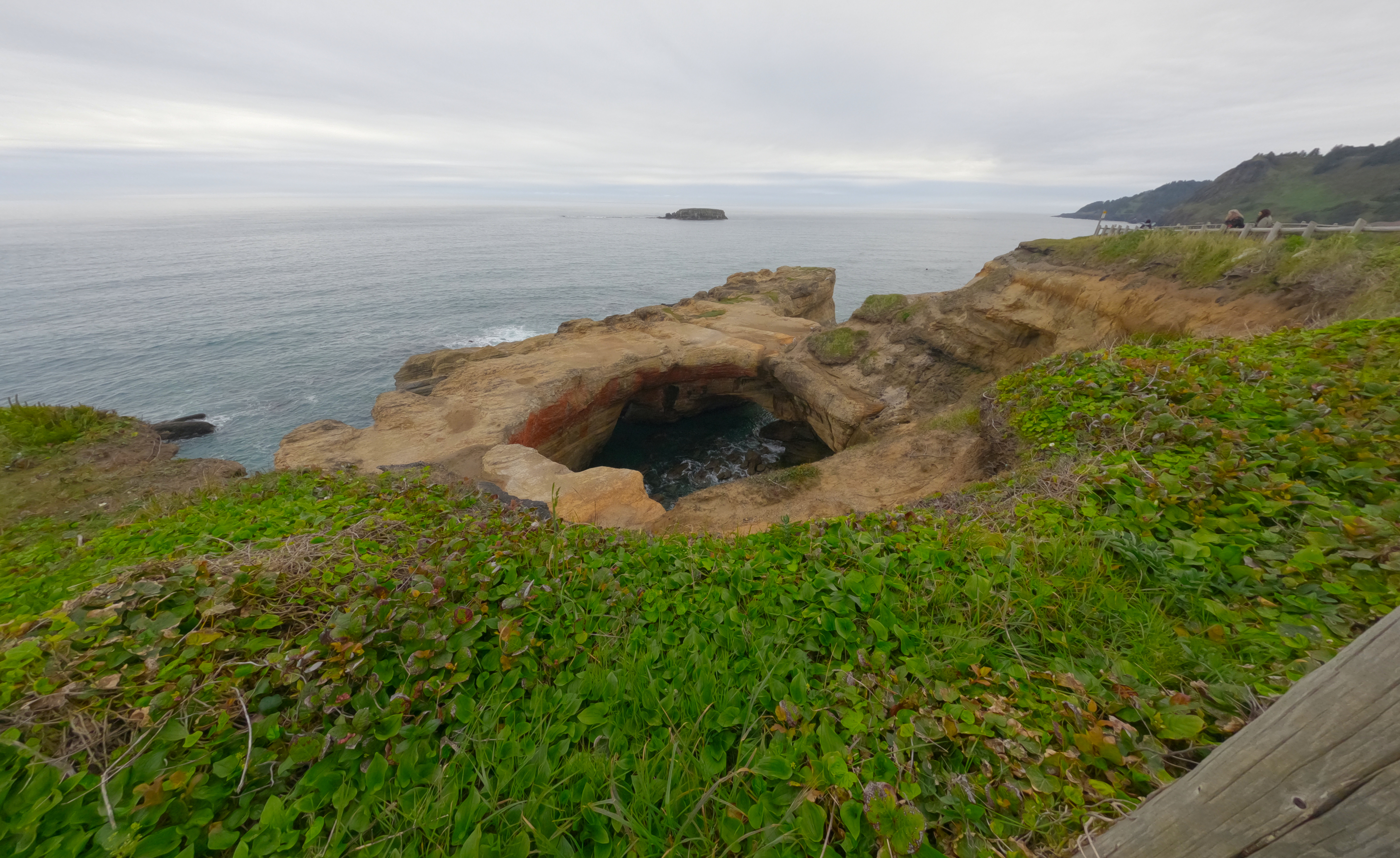
EDIT: I have removed my video of Devil’s Punchbowl, because Elizabeth has reminded me that it was actually of Thor’s Well, a bit farther down the coast. Video will be reposted in its proper spot.
More coastal goodness to come!
