Wildlife

Rocky Mountain National Park

My second-favorite thing we did when my friend came out to visit last August was to drive Trail Ridge Road through Rocky Mountain National Park, from the Estes Park side to Grand Lake. This is such a scenic drive. We got out for a short hike or two, and saw some wildlife on the trails, but if all you have time for is the drive, it’s still worth it.

I wish I’d gotten better shots of the wildlife, most of the ones I did get are blurry. But we saw bighorn sheep,


deer and elk,

lots of birds,

lots of insects and wildflowers,

a curious chipmunk,

and a moose.

We also saw some pikas and a mink, but I wasn’t quick enough with my camera to capture those.

This rocky riverbed has a story behind it:

So back in 1903, some Loveland farmers hired an irrigation company to build a small dam where Lawn Lake empties into the Roaring River, to create a reservoir for watering their farms down in Loveland. The dam embiggened Lawn Lake’s surface area from 16.4 acres to 48 acres.

In 1915, when Rocky Mountain National Park was established, Lawn Lake was within its borders, but the irrigation company was allowed to retain ownership of the dam and its associated water rights. In 1931 the dam was raised to 24 feet high.

In mid-July of 1982, the dam failed due to neglect, dumping 674 acre-feet of water into the Roaring River. Lawn Lake emptied in half an hour, just an absolute tsunami. Four decades later you can still see the alluvial fan of rocks and debris that the floodwaters left behind when they poured into Horseshoe Park.

After continuing across Horseshoe Park and into the Fall River, the flood destroyed a second dam and a state fish hatchery before washing through the town of Estes Park and eventually being absorbed into Lake Estes. Millions of dollars in damages and three lives lost. Insanity. You can read more about it here.

This next pic is kind of grainy because I took it with my phone, but I like it because it did a better job of capturing that golden shade of meadowgrass in the valley.

Even in August there were still patches of snow up at the higher altitudes.

Trail Ridge Road is the highest continuous paved road in the United States.

It tops out at 12,183 feet of elevation, up in the rocky tundra.

There are two small lakes in this pic, but I don’t know their names:

They look like pure snowmelt.

It’s chilly at that altitude, even in August.

And then down the other side.

Near this bridge is where we saw the mink.

This was a little village we saw in Grand Lake on the way home. So pretty!

And that was our drive through Rocky Mountain National Park. I’d like to camp up there sometime and do a real hike, but we still need to upgrade our tent and sleeping bags so we don’t freeze.

More to come!

Categories: A Plethora of Parks, Animals, environment, Friends, Life, Road trip, trees, Wildlife | Tags: , | 1 Comment

Pikes Peak by Rail

Luke keeps asking when I’m going to update my blog. He says the easiest way to keep track of his road trips and other adventures is by looking them up here. I keep meaning to, but between work, house projects, recreational reading and getting into political arguments on Twitter, there never seems to be time for blogging.

But next month will mark a full year of unblogged adventures. I need to either catch up or admit that I’m never going to. So I’ve made a new rule for myself: every time I finish reading a book, I can’t start a new one until I have written and published a new blog post.

So where were we? Last August a friend I’ve known forever (since middle school!) flew out to spend a week with us. I think my favorite thing we did that week was take the Broodmoor Cog Railway to the summit of Pikes Peak.

That was on August 13th of last year. Elizabeth had the Tuesday off and came with us. Luke was saving up PTO for a solo trip to Alaska, so he was at work that day.

The Cog Railway Depot is lovely. The current cog trains were shipped out from Switzerland, and the depot embraces that Swiss aesthetic.

The depot sits roughly between the foot of the Manitou Incline and Barr Trailhead in Manitou Springs. As we rolled out of the station, the first views were green and lush.

The views get more rugged as you get higher.

This majestic marmot was hanging out above the tree line, up in the tundra.

At one point we rolled off onto a side track to let another train descend.

The tundra gets rockier near the top.

There is an active gold mine in the background of this photo, on the top right:

It takes about an hour and ten minutes to reach the summit.

The new visitor center sits next to the ruins of the old visitor center from the 1800s.

We went in and ate lunch and got some famous Summit House donuts.

The peak was cold and windy, but we walked around and took in the views.

There’s also a road you can drive up. I think it would be fun to take a car or train to the top and then ride a bike back down.

After about 40 minutes we were called to reboard. The operator relocated to our car, which had been at the back of the train during the ascent, and was now at the front.

And back down we went!

After disembarking, we decided to check out a couple of the local naturally-carbonated springs.

I’m kind of obsessed with them now. If I lived closer to Manitou Springs, I’d be taking gallon jugs to fill up with that spring water every week.

And on the way home–a double rainbow!

Whew. Now I can read another book.

And when I finish that, I’ll be back!

Categories: Animals, environment, Family, Friends, Life, Travel, trees, Wildlife | Tags: , , , | Leave a comment

DOT by Bike and Rail: Westminster, Standley Lake, Olde Town Arvada

Loop 5 continues the pattern of being longer than all the ones before. Every time I start out on one of these DOT loops, I wonder if it will be too long and wear me out. But so far it’s only heat and dehydration, not total distance, that drain my energy. As long as I keep my water bottle full and stop to cool down in the shade now and then, I have yet to hit the limits of my stamina. And one advantage trail riding on a bicycle has over trail riding on a horse is that I don’t worry about overworking the bike. It only gets tired when I do. So I can plot these longer and longer courses without having to factor in anyone’s fitness and enthusiasm but my own.

After riding home from Peoria Station on my last outing, I wondered whether that might be a more efficient way of getting to the A line than starting on the R line. So for Loop 5 I found the straightest route between my house and Peoria Station and tested that theory.

Conclusion: there’s not a lot of time difference between the two, in that direction. Taking the R is slightly shorter if it’s running on time. The bike ride is downhill almost the whole way, so it’s pretty effortless. There are no bike lanes on Peoria St (what’s up with that??) and it’s a busy street, so for everyone’s safety I rode on the sidewalks, which were empty. The return trip is slightly uphill, so taking the R makes more sense coming home.

I’ve mentioned the bike docks and bungees on the rail lines that connect to Union Station:

They also have special racks to hang multiple bikes vertically, but I’ve never needed to use them; there have always been enough bike docks for every bike on the train to have its own.

I took the A to Union Station and the N to Eastlake & 124th, and then biked back to where I’d left off at the end of Segment 22/start of Segment 23.

I looped around Hunter’s Glen Lake…

…saw a great blue heron…

…and some scenic neighborhoods…

…before connecting to Big Dry Creek Trail.

Lots of nesting swallows on this loop. Such pretty birds!


I rode through sunny meadows, fragrant with grass and soil and wildflowers and alive with birdsong, and the richness of them took me back to the wild summers of my childhood.

I lived in my senses so much more when I was younger. I used to know what month it was just by the scent of the air and the color of the sunlight.

The thundering noise of this little waterfall on Big Dry Creek made me leave my bike on the bridge and walk down for a closer look.

In a random open space in Westminster I found this majestic fellow. He swivels like a weathervane.

Eventually found a nice shady spot along the trail to stop for lunch. By now I’d done the math and realized that this was going to be an all-day ride. But the trails were wonderful, so I didn’t mind at all.

Colorado takes its bike trail network very seriously!

Segment 24 is where I discovered the art of Patrick Maxcy.

This overpass near the Butterfly Pavilion features local birds on one side…

…and local fish on the other.

Here’s another one:

Parts of Segment 25 are just dirt tracks through grassy meadows. That cloud of mist and roar of water up ahead piqued my curiosity enough to make me leave the trail to investigate.

What could it be?

Turns out it’s a MASSIVE flow of water coming through a culvert from Standley Lake. You can see the dam in the background:

And here is Standley Lake.

The prettiest part of a really pretty loop.

More Maxcy art…

…and this:

I don’t recognize the glyphs, and neither does Google. Maybe someone’s made-up code.

Segment 25 ends at the Standley Lake Library. I rolled in to use the bathroom and refill my water bottle.

The library has a cool sundial out front.

Segment 26 starts out as a dirt track.

It connects to the Dry Creek Bike Trail, leaves that to follow a couple of streets, then picks up the East Side Trail, which is sometimes paved and sometimes not, but continues in one form or another all the way to Majestic View Park in Arvada

Here is where I left the DOT. My plan was to make my way down to Olde Town Arvada Station on roads. I got off to a rough start with a steep uphill climb, but once I got to the top of that, it was an exhilarating downhill run all the way into Olde Town.

I stopped in at Rheinlander Bakery for a cream cheese strudel and an Italian cream soda…

…and then hopped on the G line to Union Station…

…and then the A to Peoria Station. I happened to get there just in time to catch an R line train that was running 30 minutes late for its regular schedule, so I didn’t have to wait at all.

This was one of my favorite loops so far. My only concern is that to start Segment 27 where I left off, I’ll have to tackle that long uphill stretch from Olde Town Arvada to Majestic View Park. Maybe I’ll do it in the other direction, and end up back in Arvada again.

More to come!

Categories: A Plethora of Parks, Animals, Artwork, DOT by Bike and Rail, environment, food, Life, trail rides, Wildlife | Tags: , | Leave a comment

DOT by Bike and Rail: Commerce City, Thornton and Northglenn

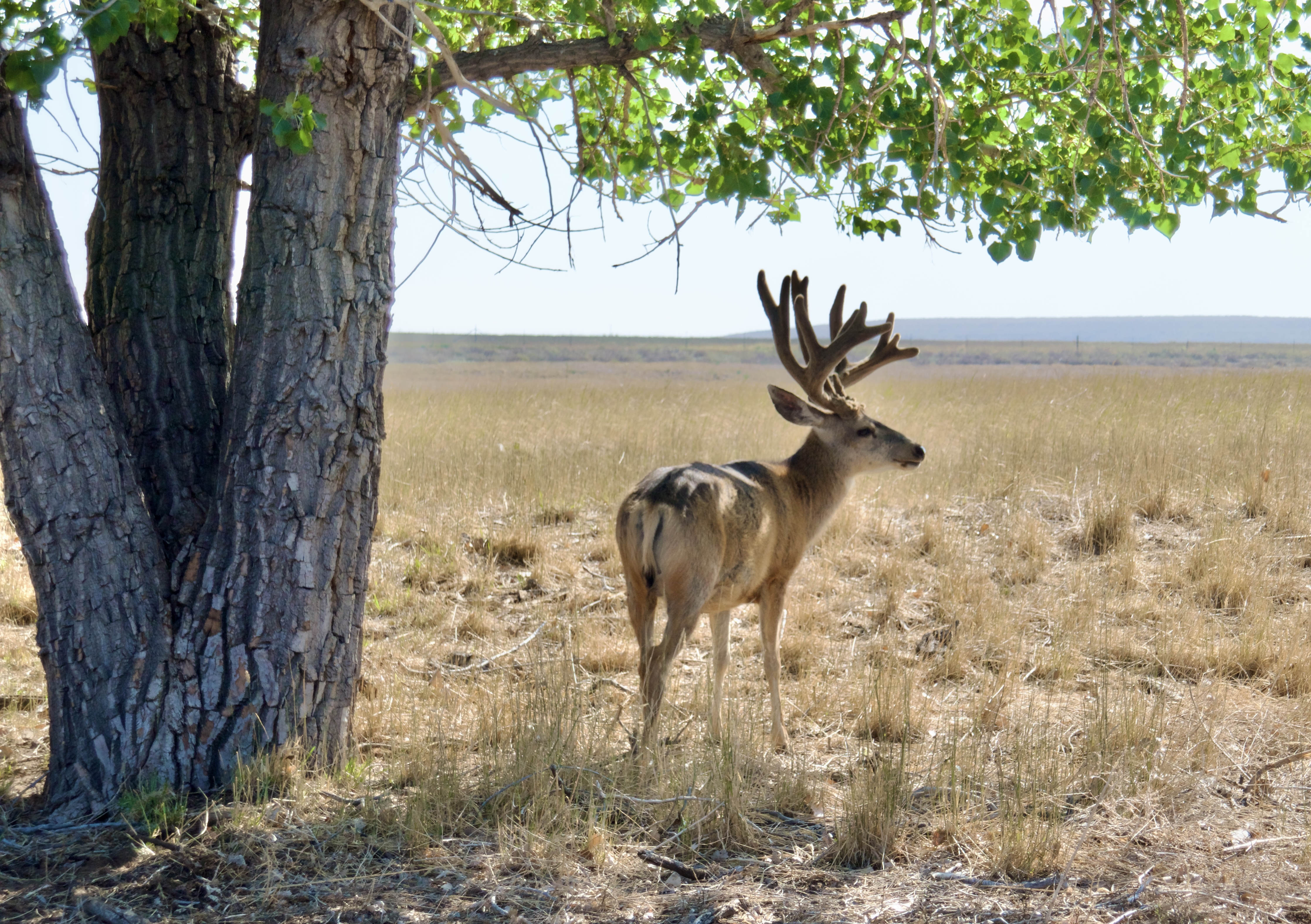
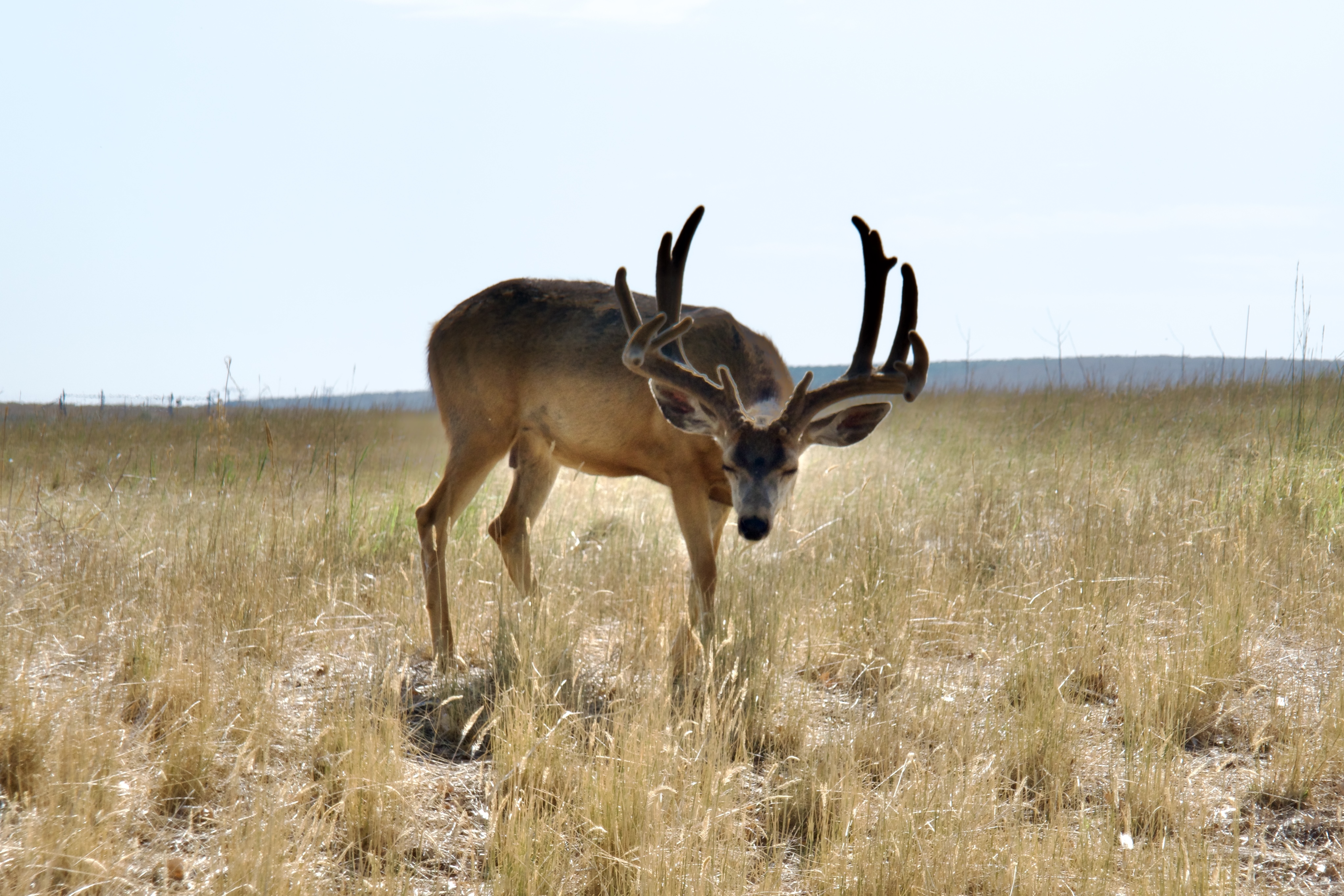
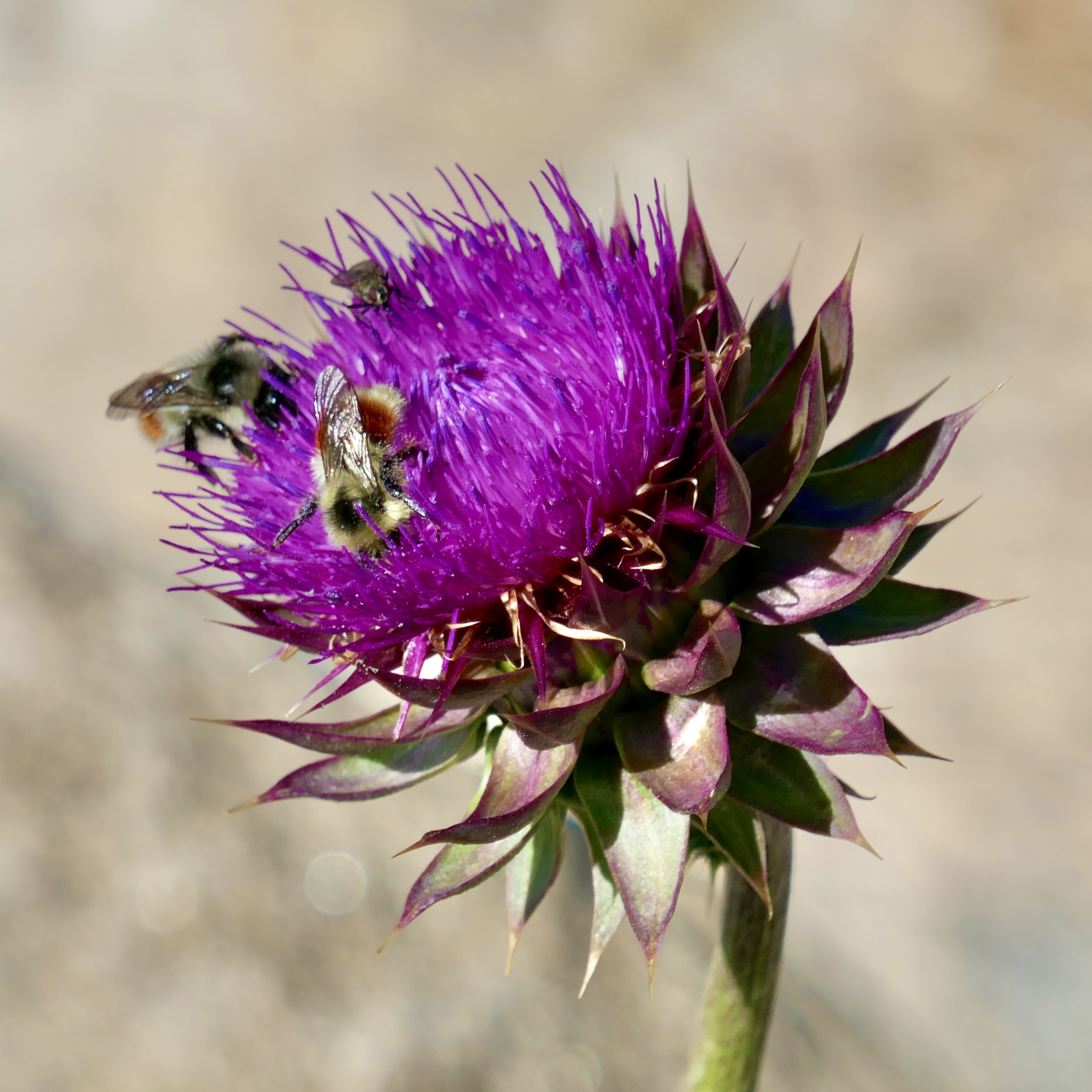
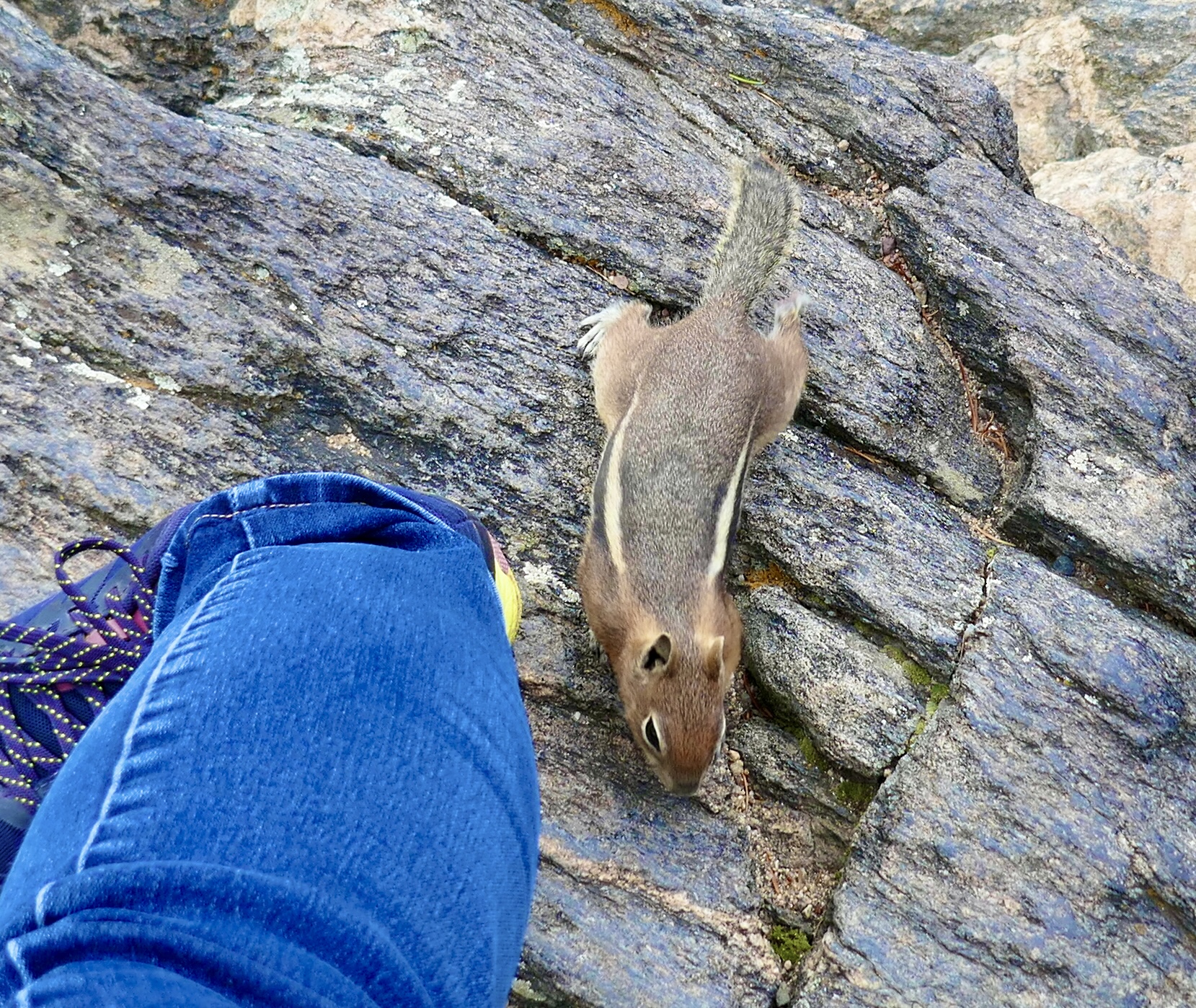
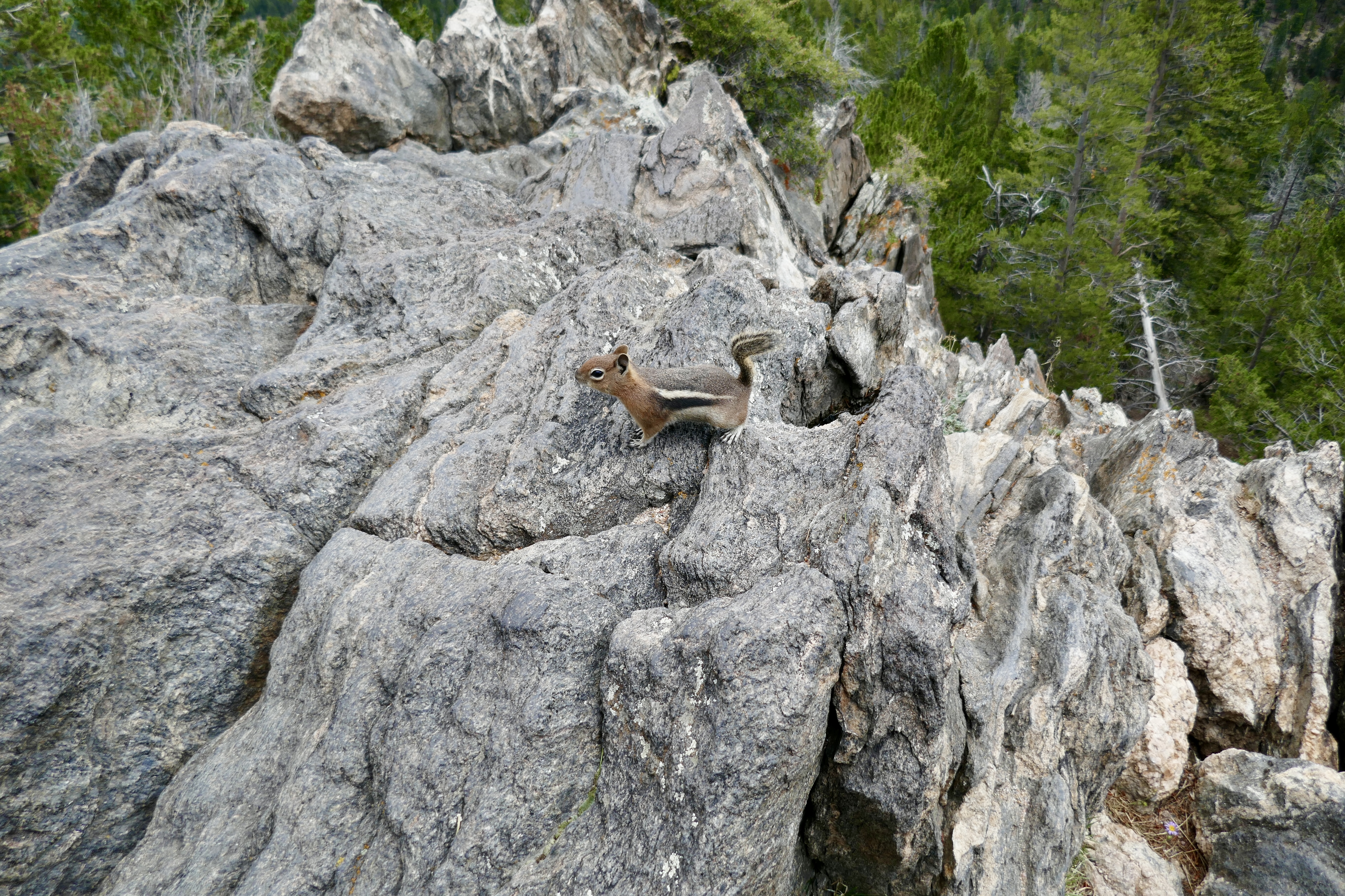
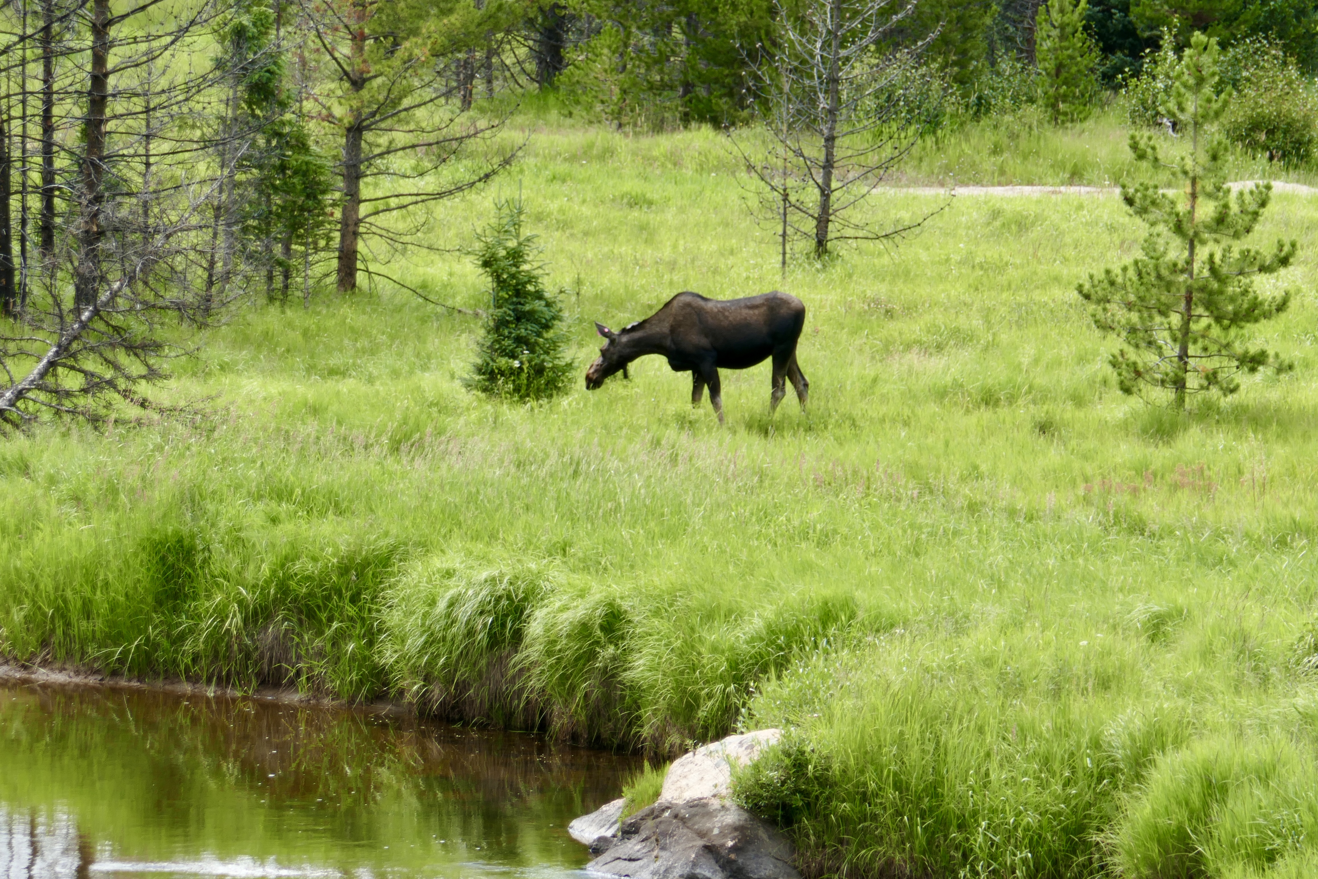
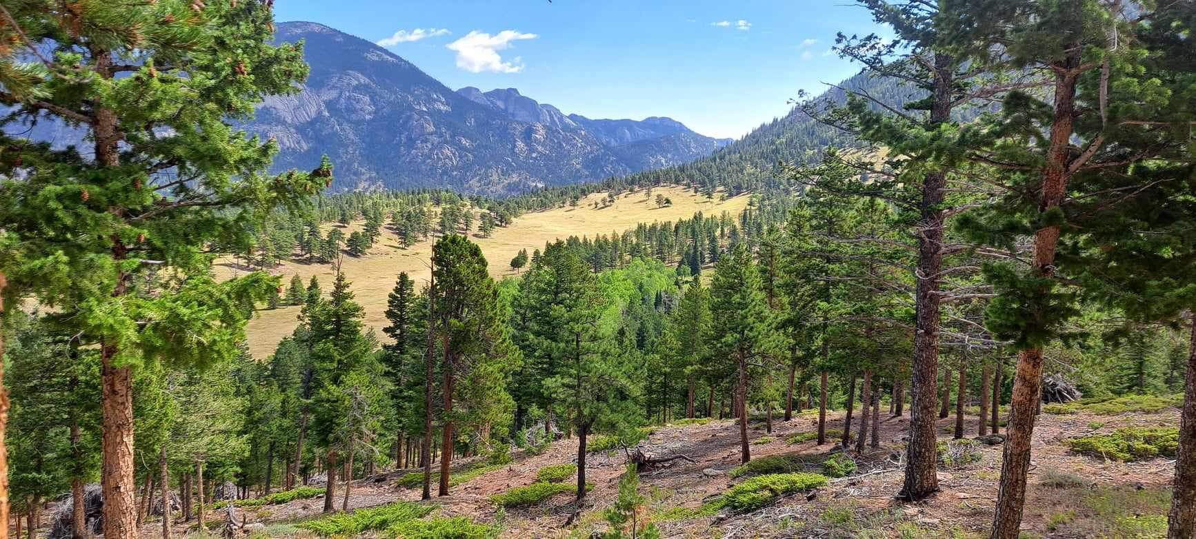
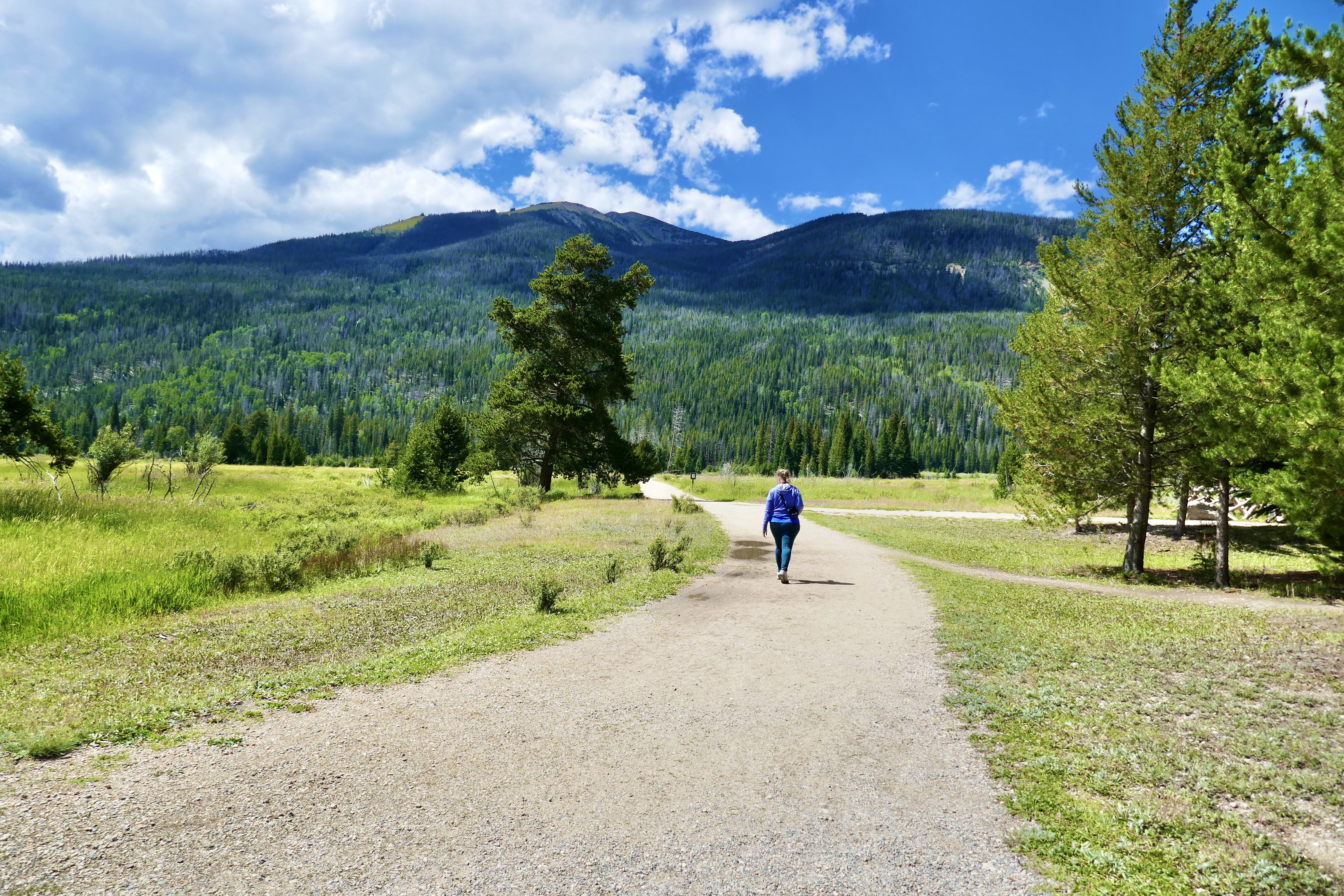
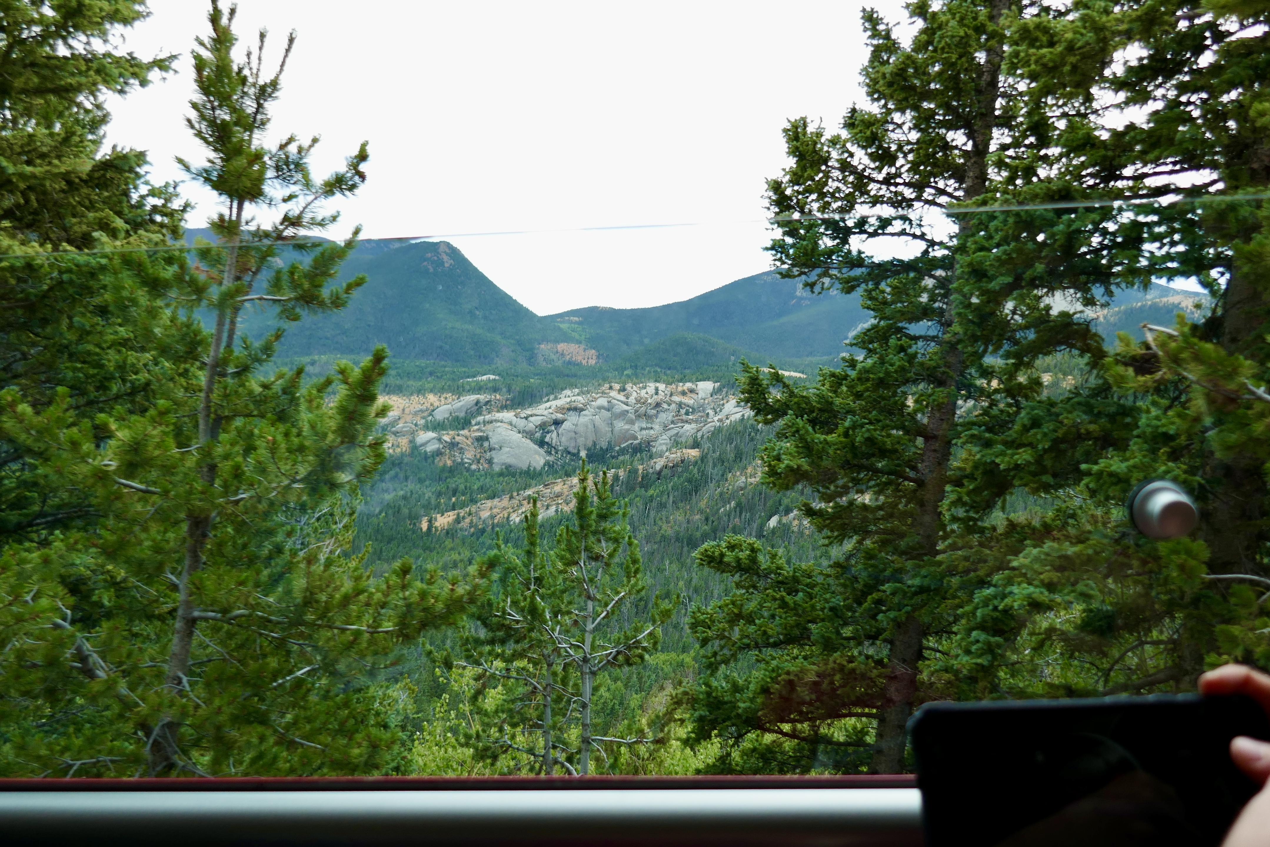
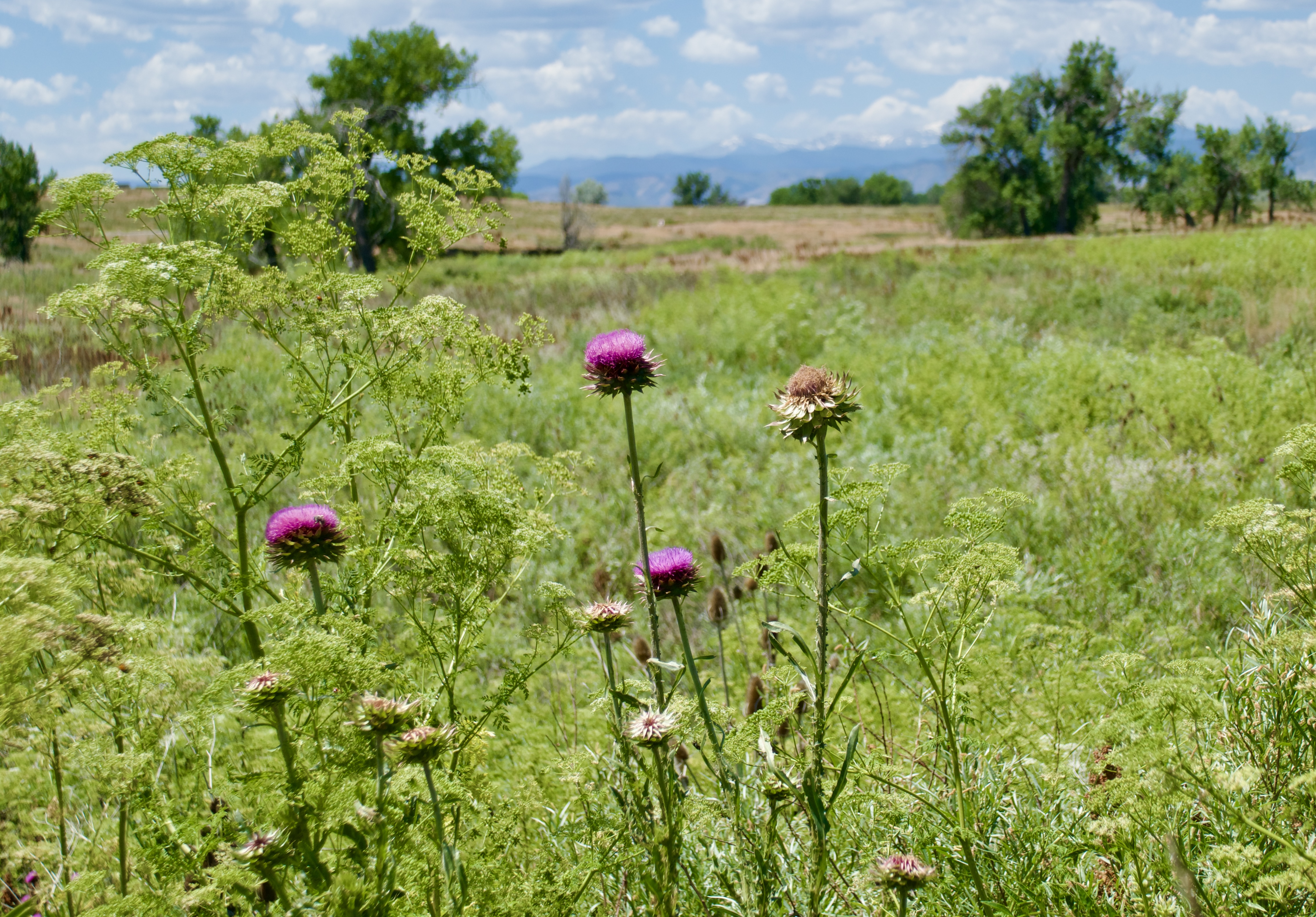
Each loop that I’ve completed on this DOT project has been longer than the one before. I’d like to say that’s because I’m building up stamina and confidence, but actually it’s just that the light rail stations get farther apart as I follow the northernmost curve of the DOT. But also I’m building up stamina and confidence, so the longer distances are still fun. I did pack a lunch for Loop 4 though, because it’s really long and doesn’t pass close by any eateries.

I liked my little bike trunk for the DOT rides, but it wasn’t great for my daily work commute. I ended up replacing it with a plain wire basket big enough to hold my laptop bag, a Thermoflask or two, my lock chain, a light jacket and other accouterments of my workday. The aesthetic isn’t as sleek, but I love the convenience of being able to just toss stuff into the basket and go. I did start using a cargo net over it after my Lexlion tea bottle bounced out on a bump one morning on my way to work and shattered its lid. Little by little, I’m getting the setup all dialed in.

Alas, the Loop 4 ride didn’t run as smoothly as the first three. I waited at the 2nd & Abilene rail station, watching the ETA for the R line get pushed back, a few minutes at a time, over and over, for almost an hour. On my previous outings I had brought a book to read, “just in case,” but I’d never needed it. So of course I didn’t bring one this time, because why carry around extra weight for no reason? Yeah, a book would have been nice while I waited for the train to show up.

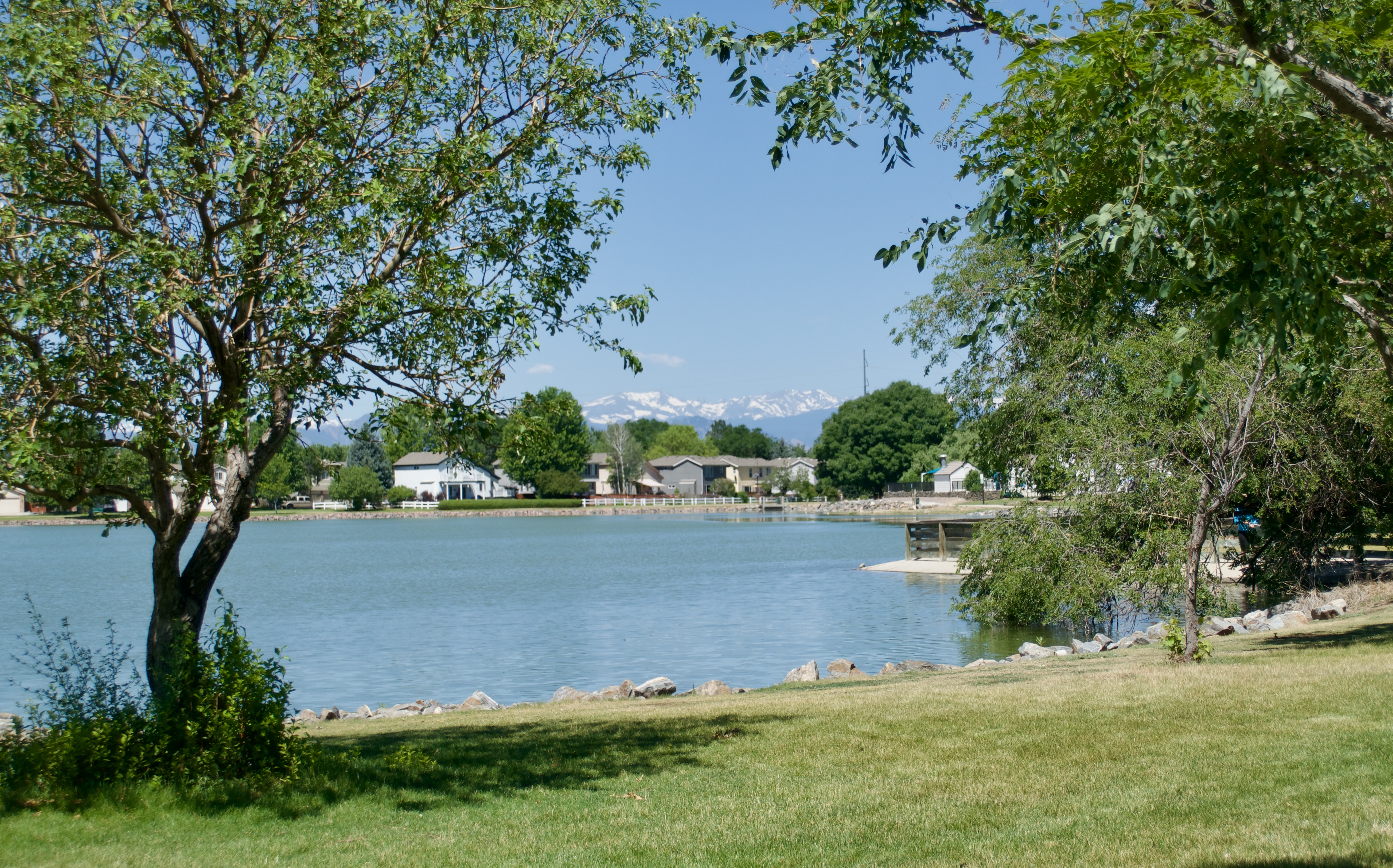
It finally did. I took the R to Peoria Station and then the A to Central Park Station. From there I followed the Sand Creek Regional Greenway to where it joined Segment 20 of the DOT, and continued north into Commerce City. The day was already heating up, and I felt a little grumpy about the train delay wasting an hour of cooler morning air.

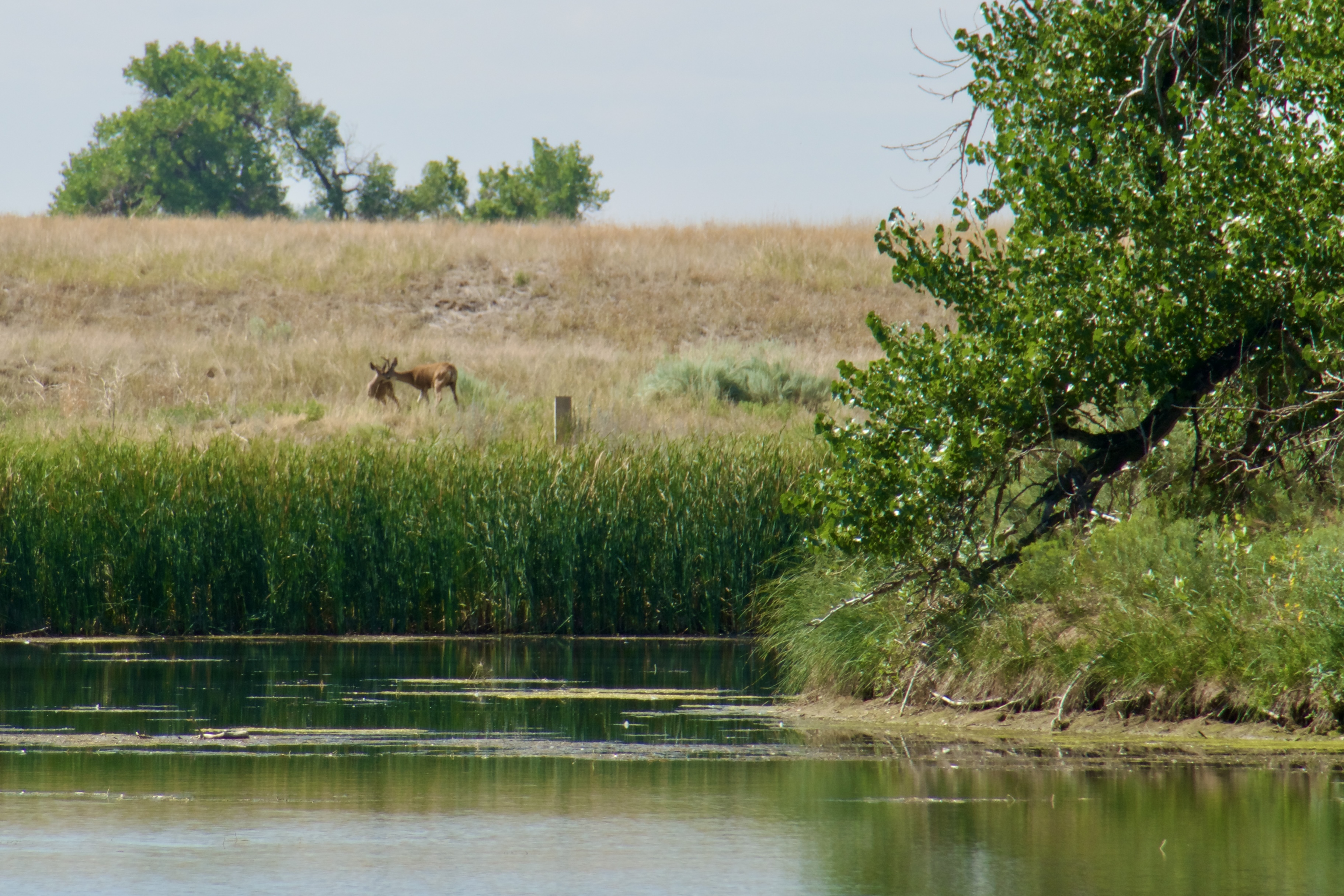
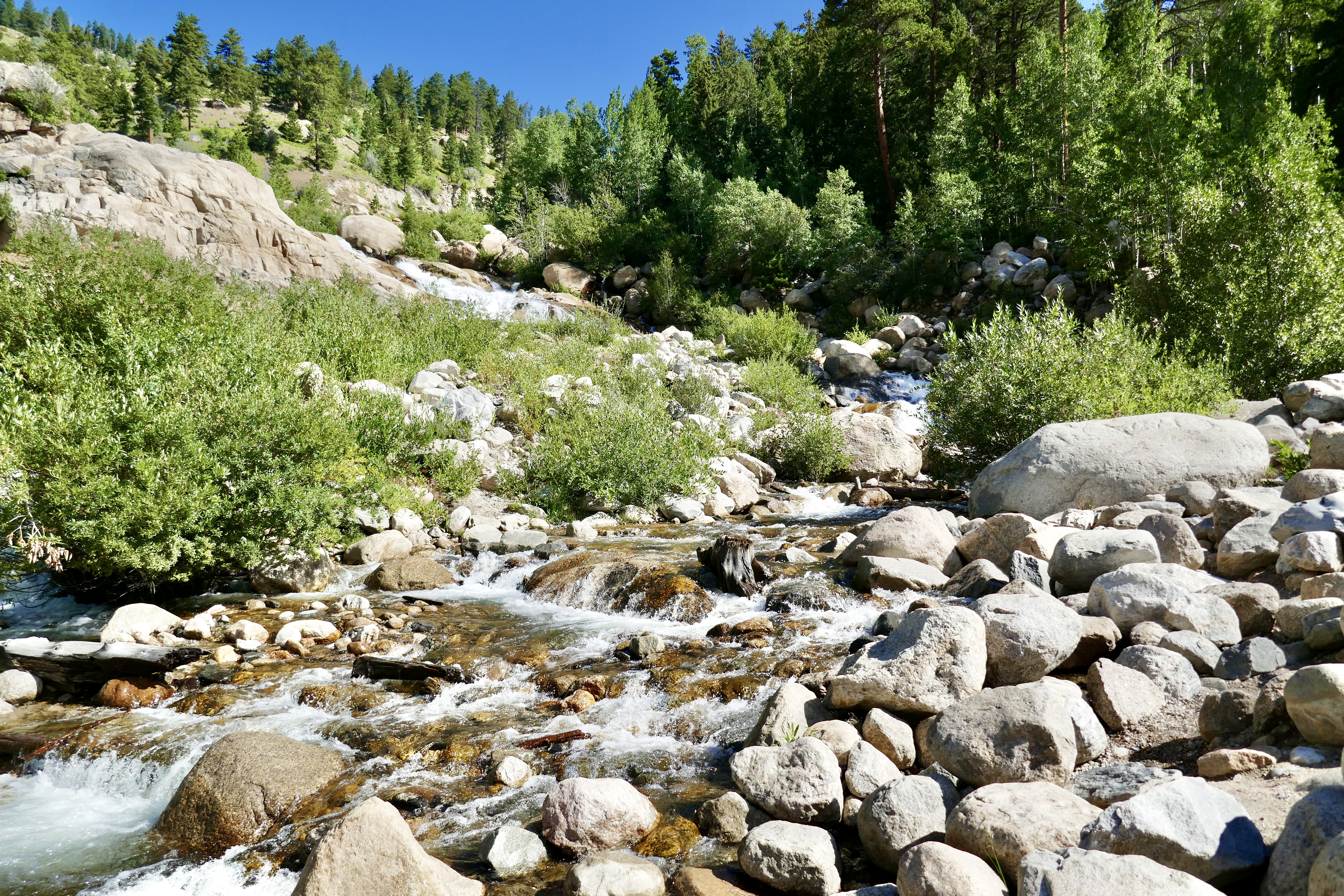
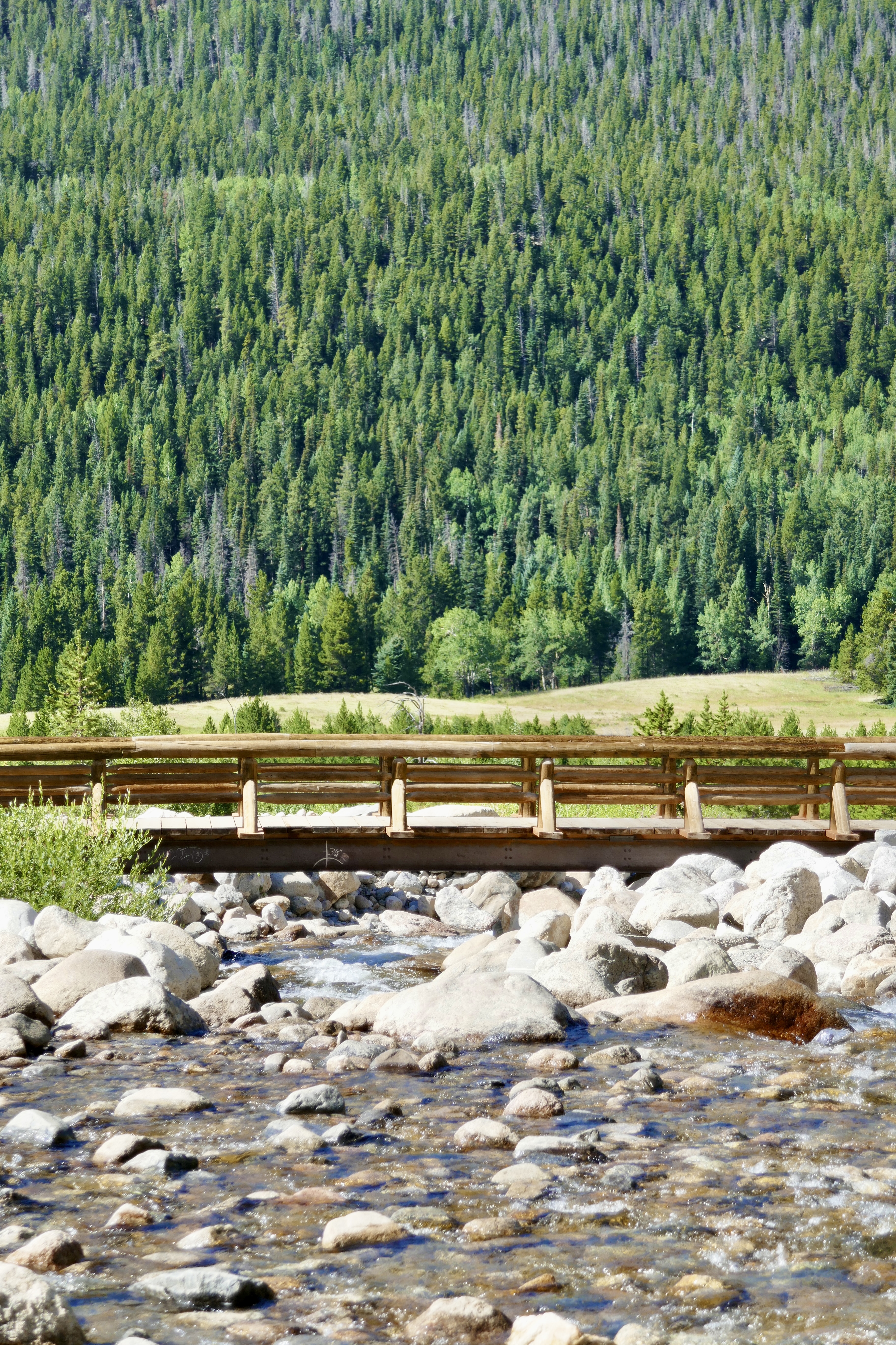
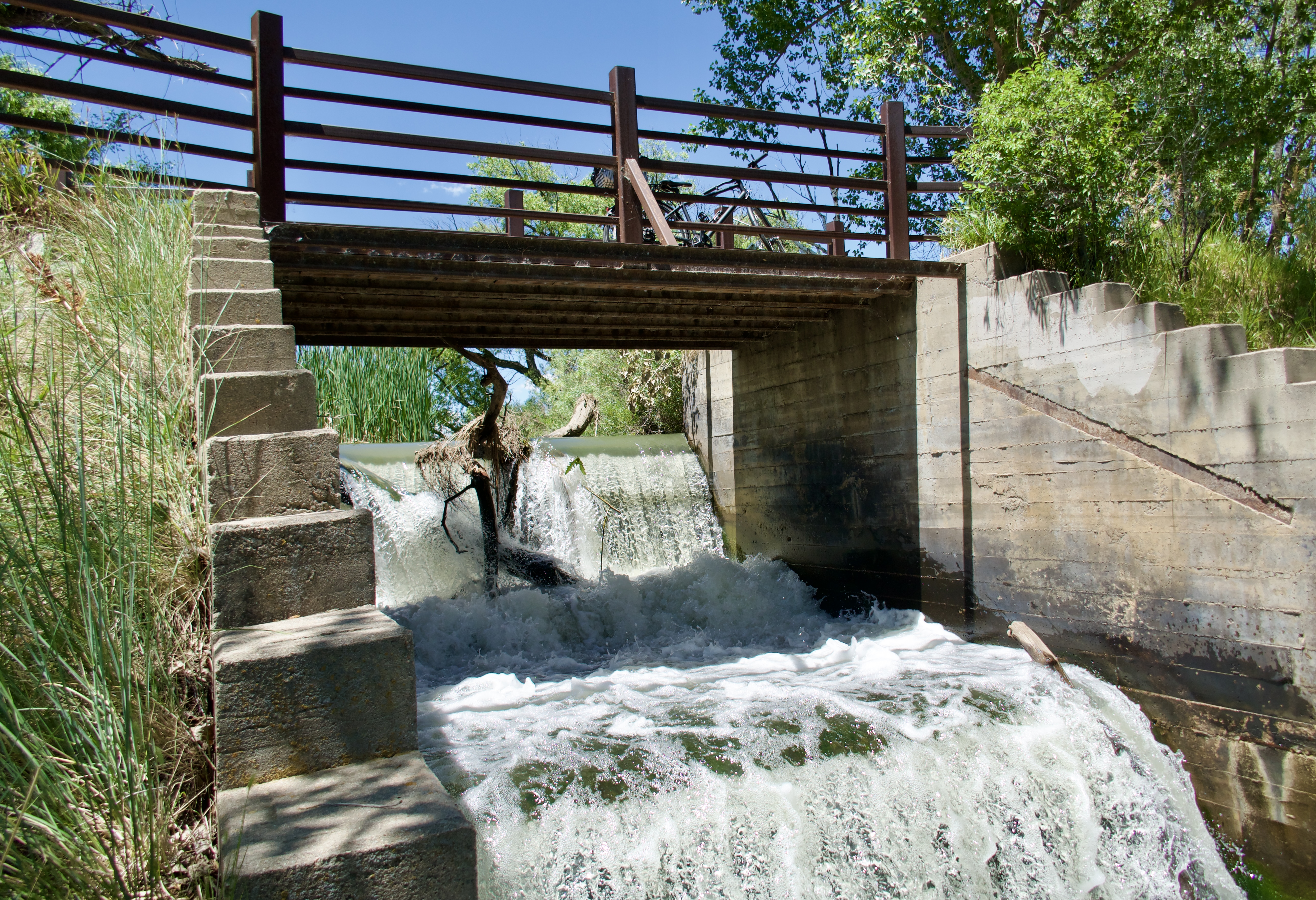
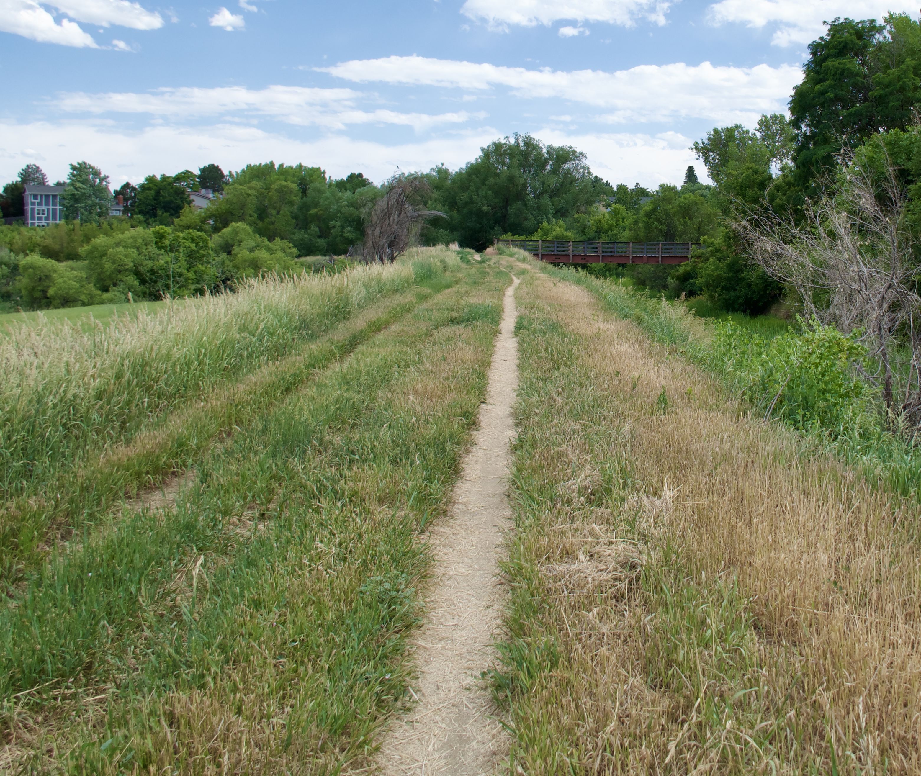
This section follows Sand Creek through some very urban surroundings, but it’s not terrible.

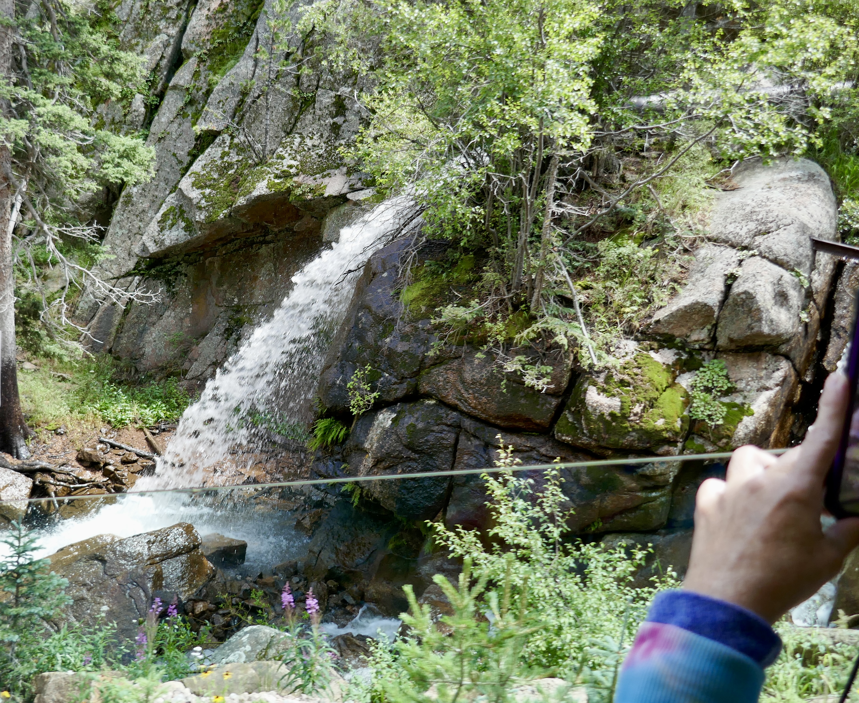
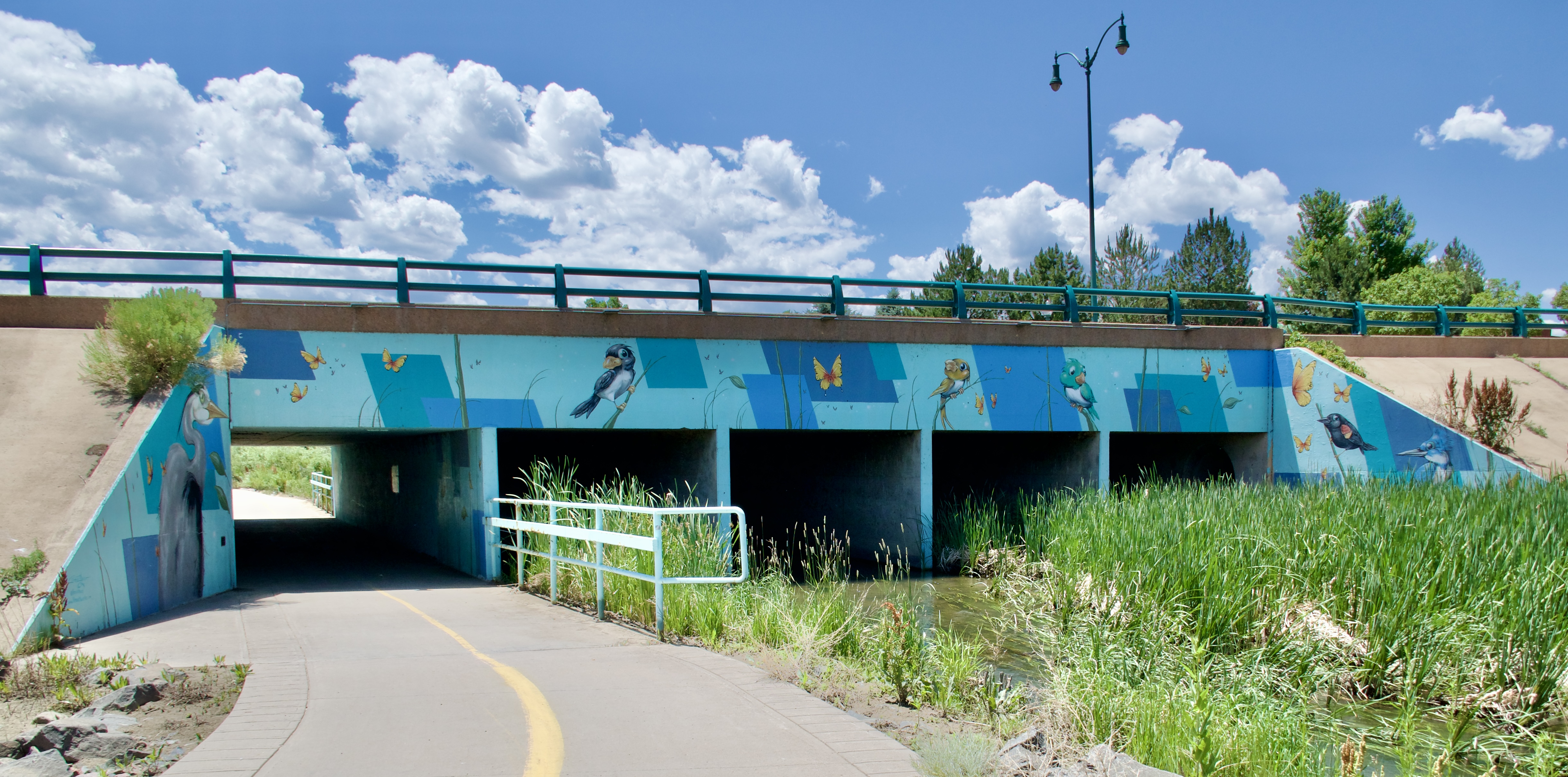
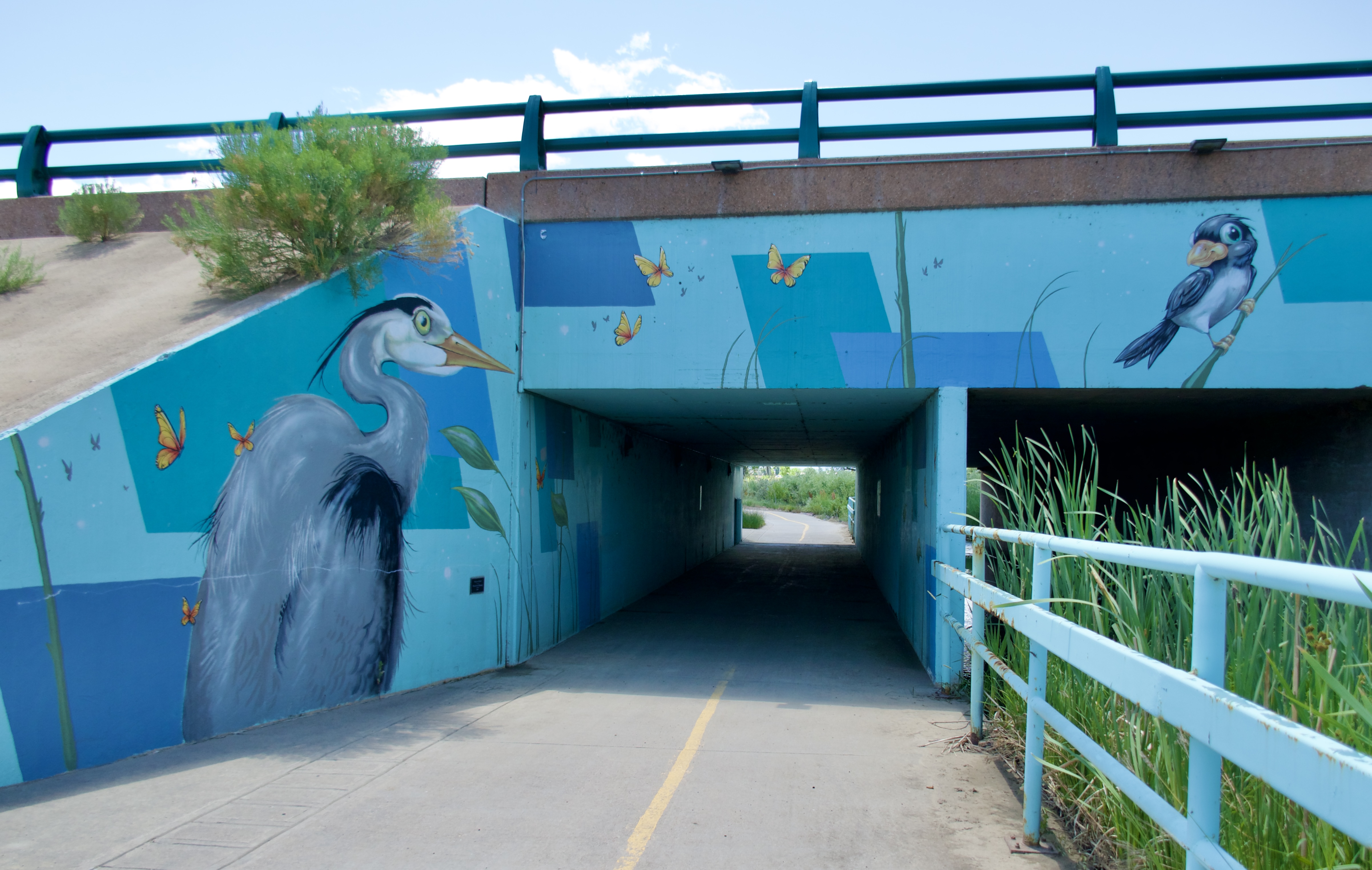
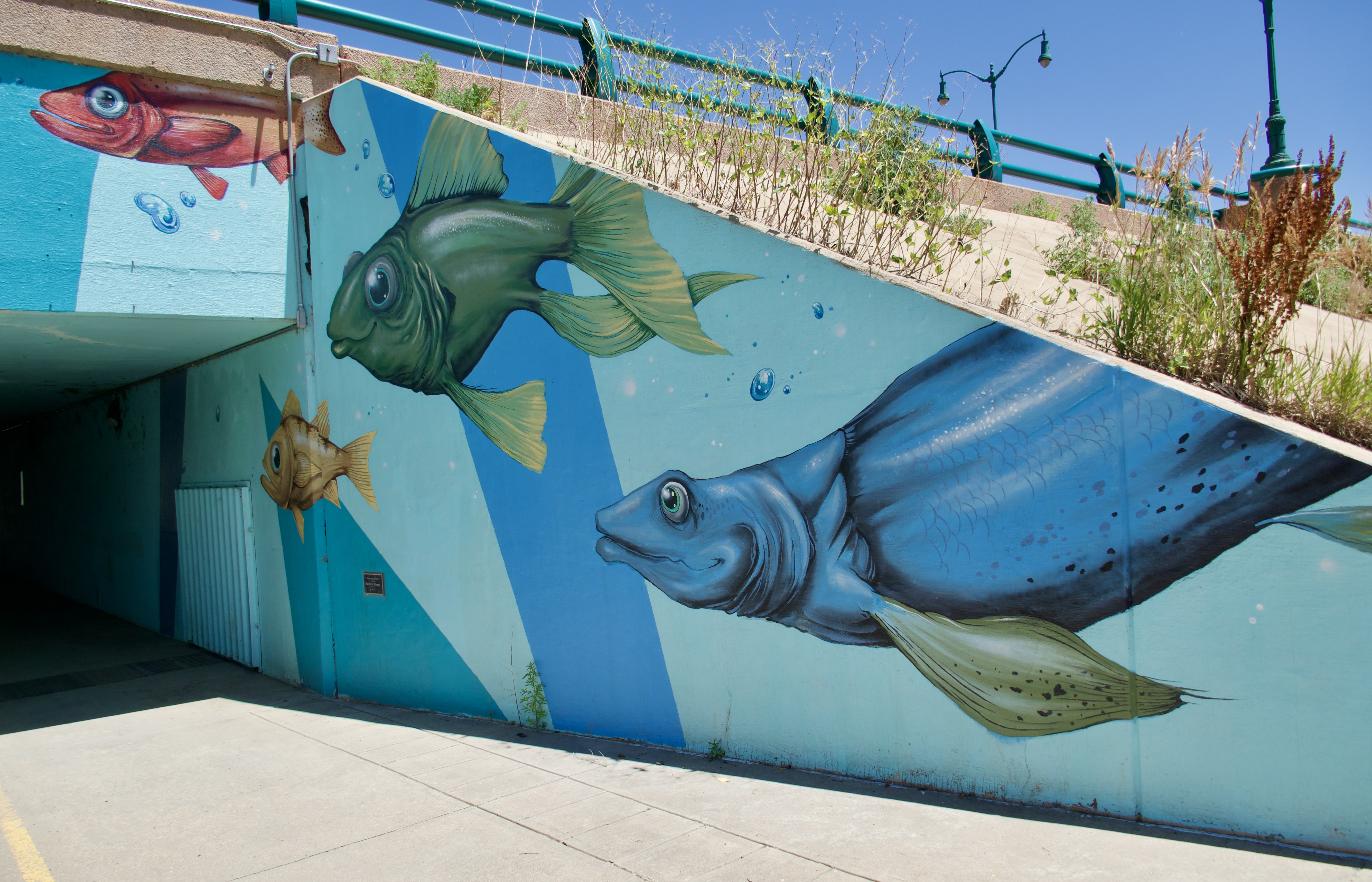
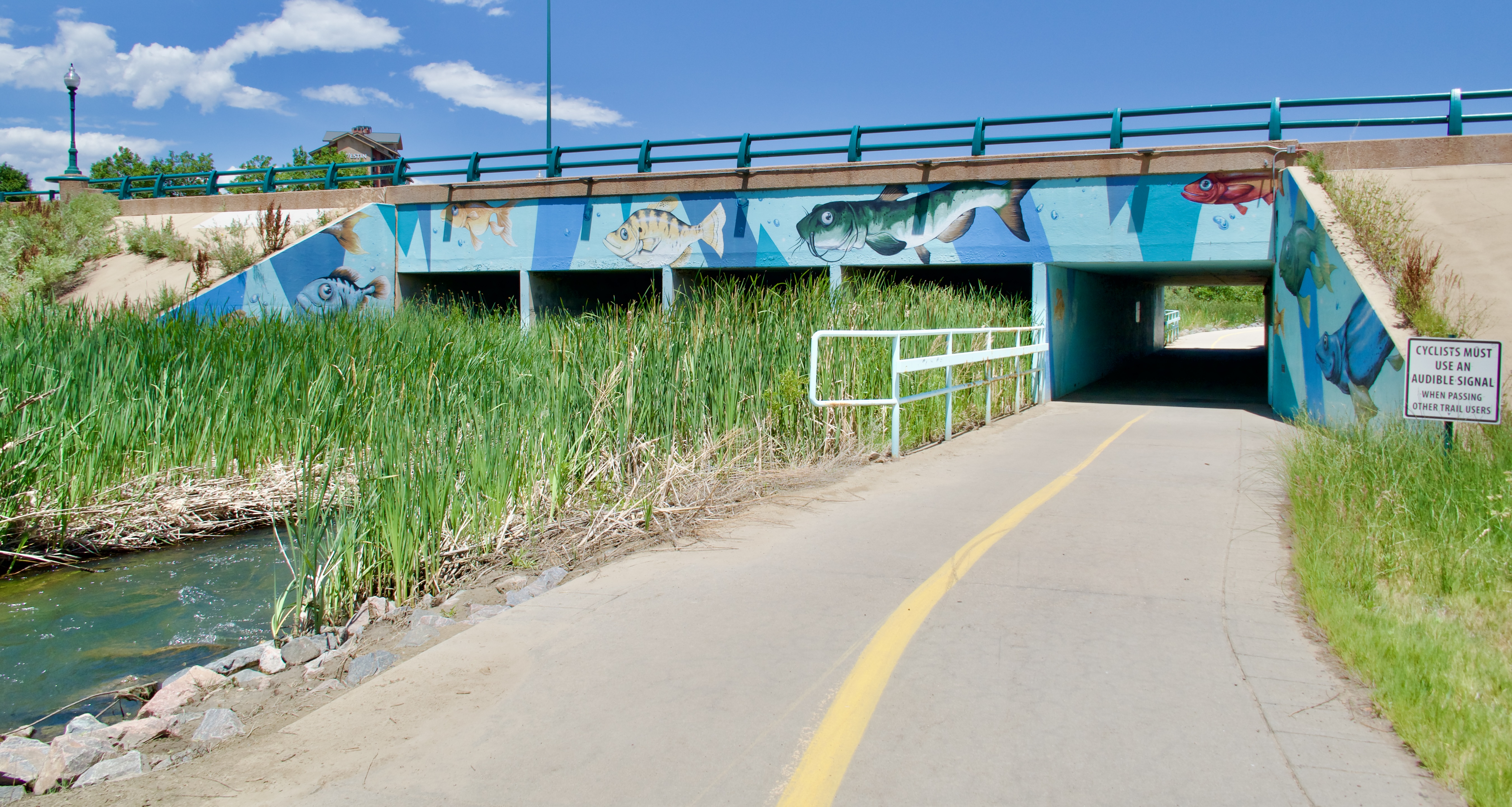
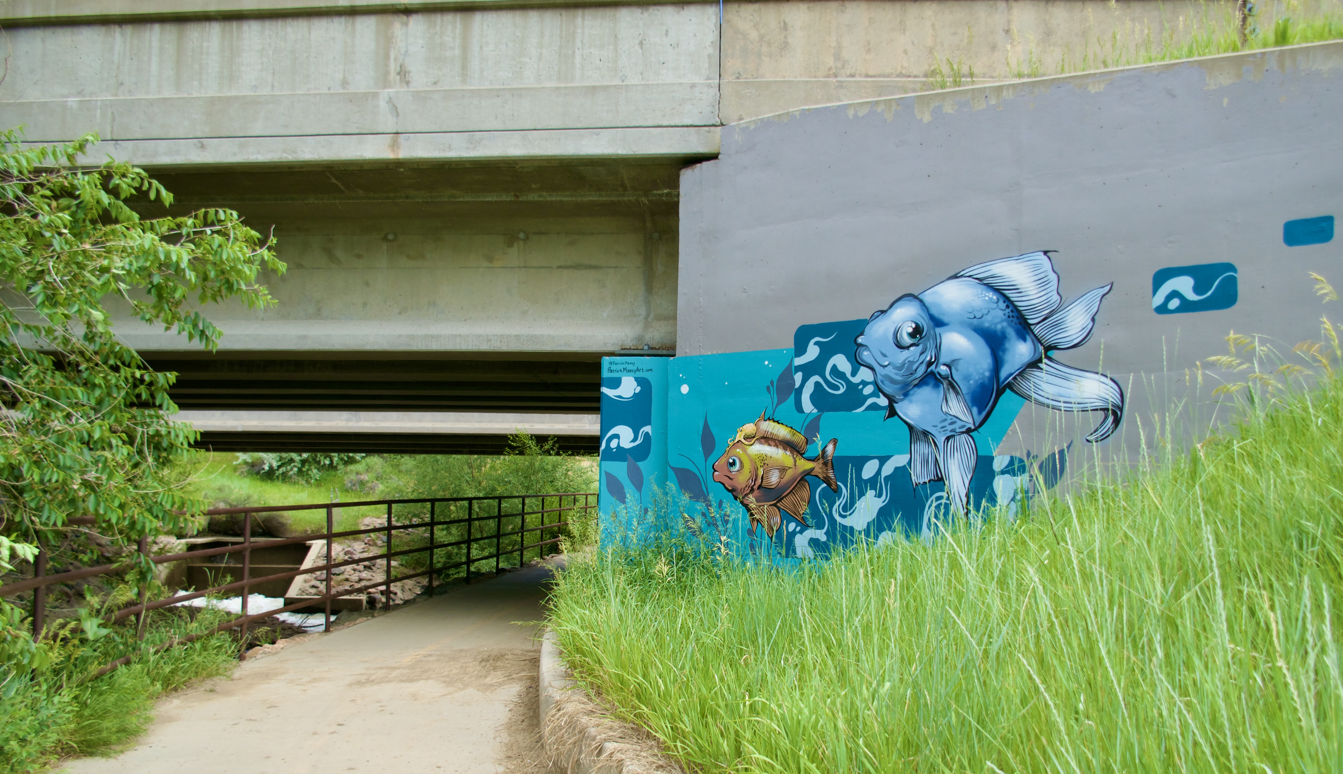
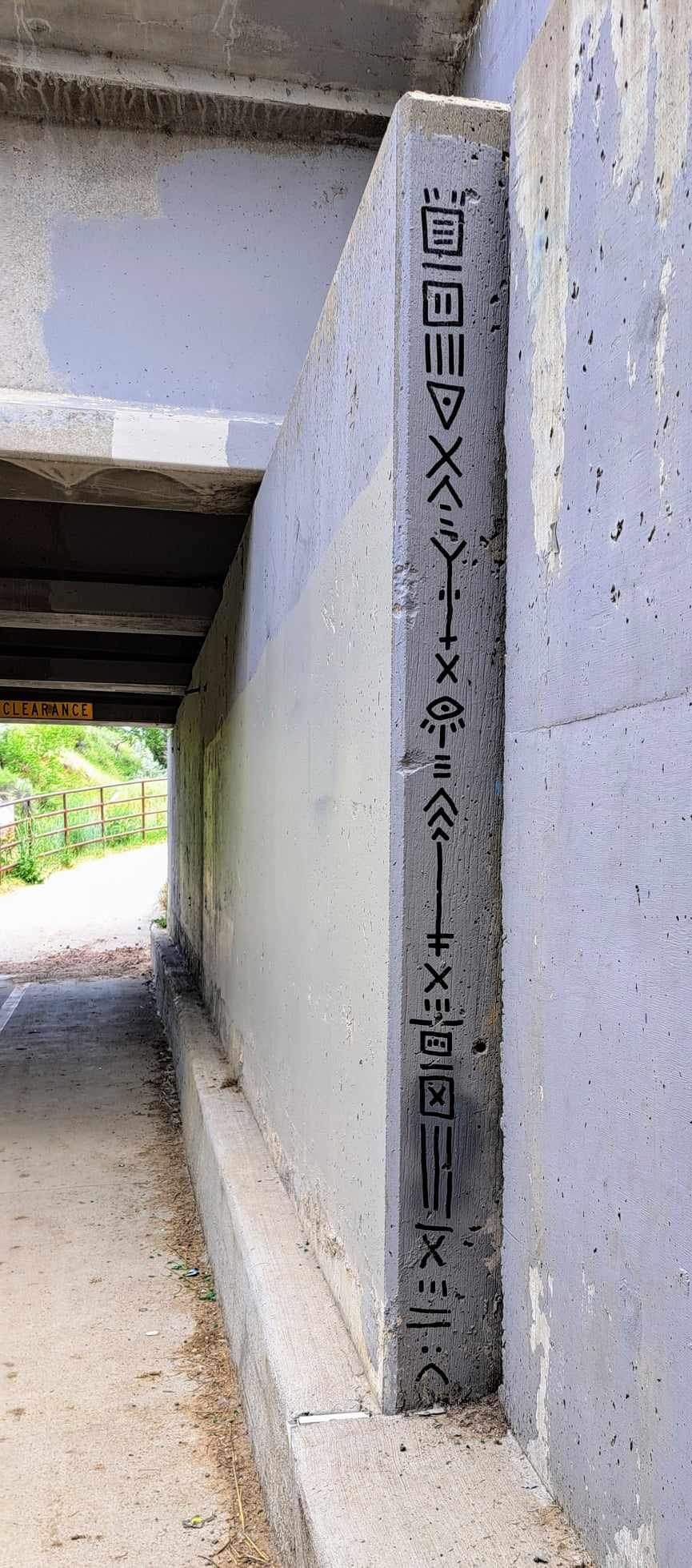
I like how these underpass support pillars look like a house of mirrors:

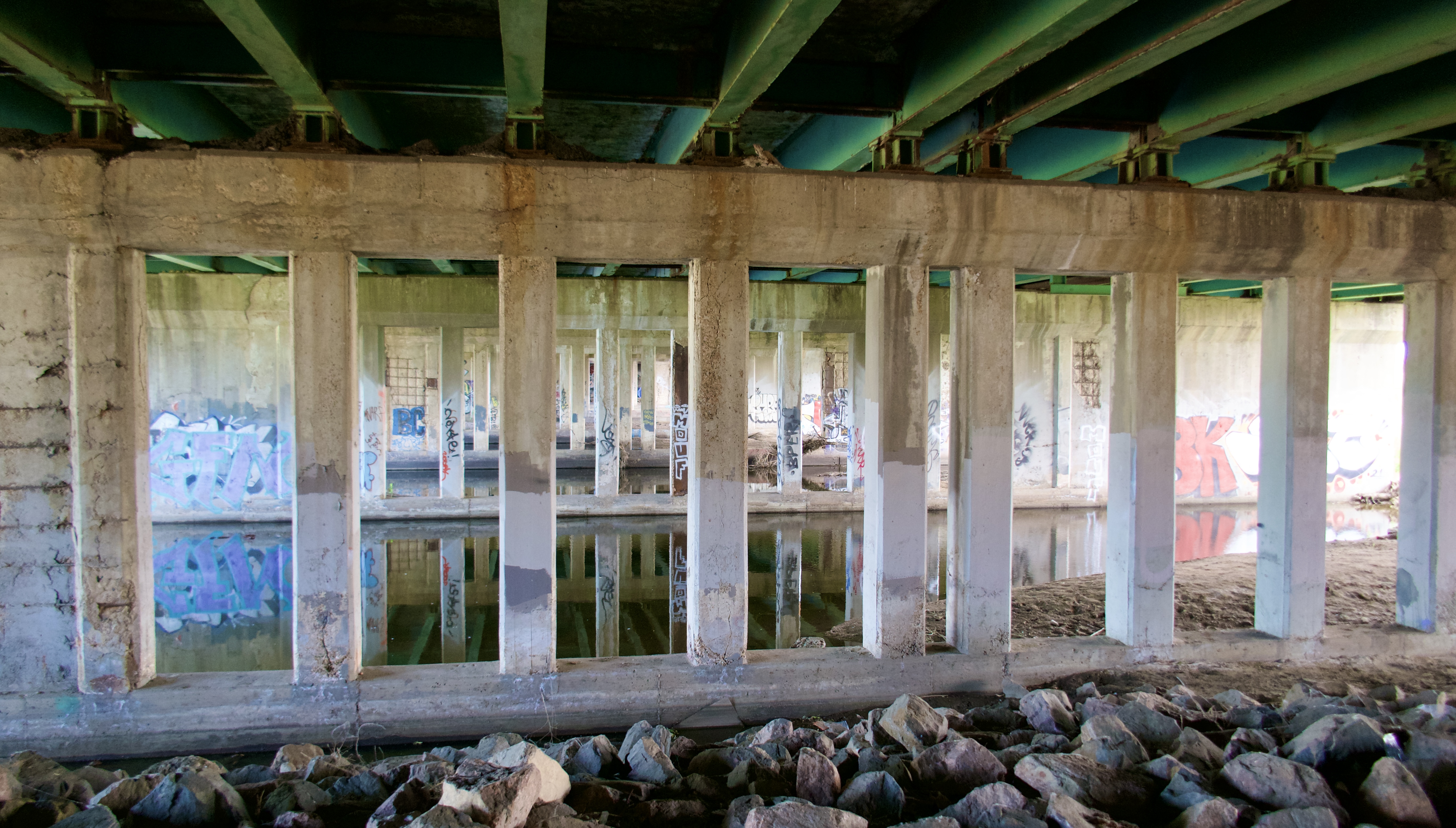
It’s prettier from the outside:

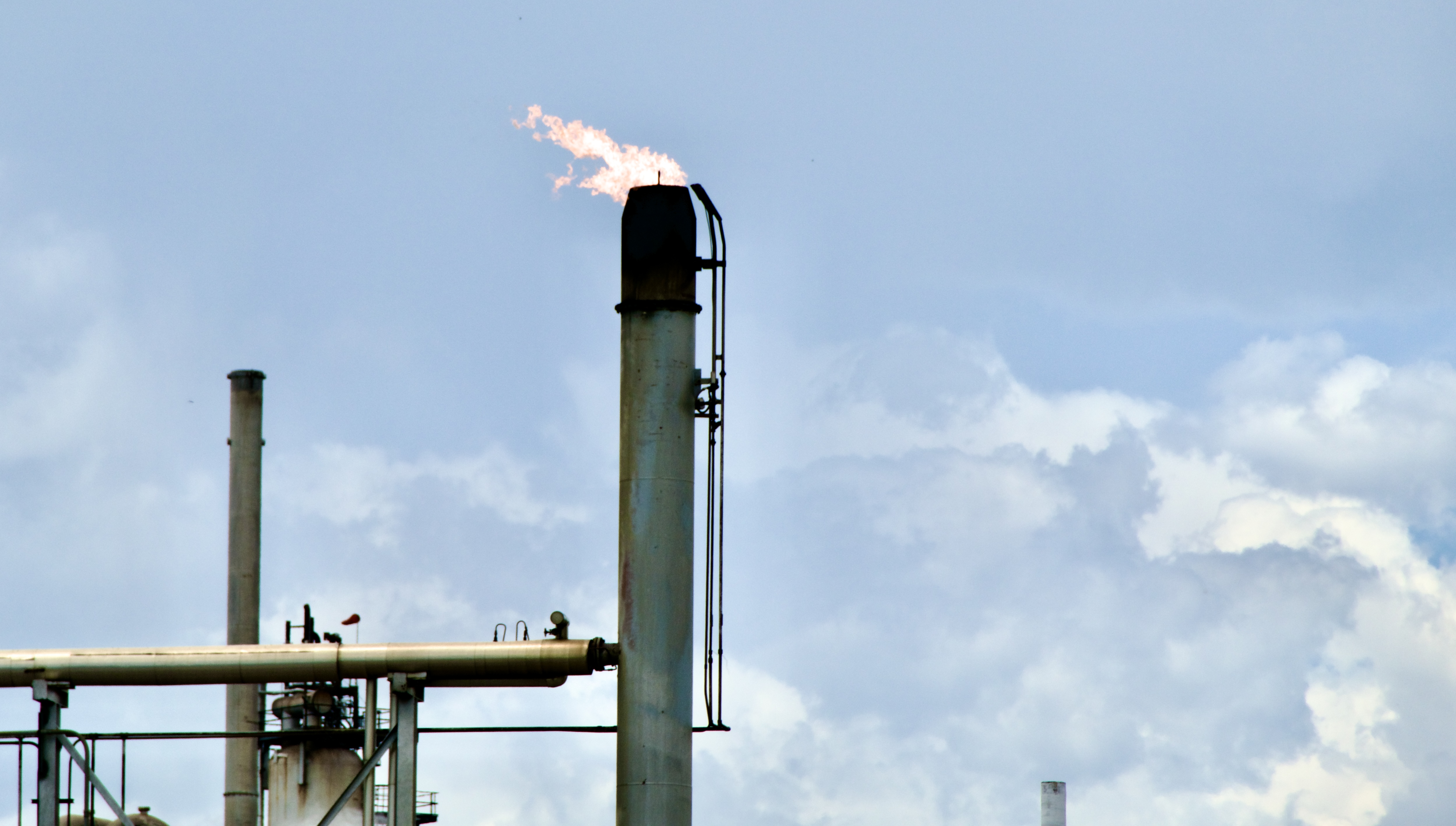
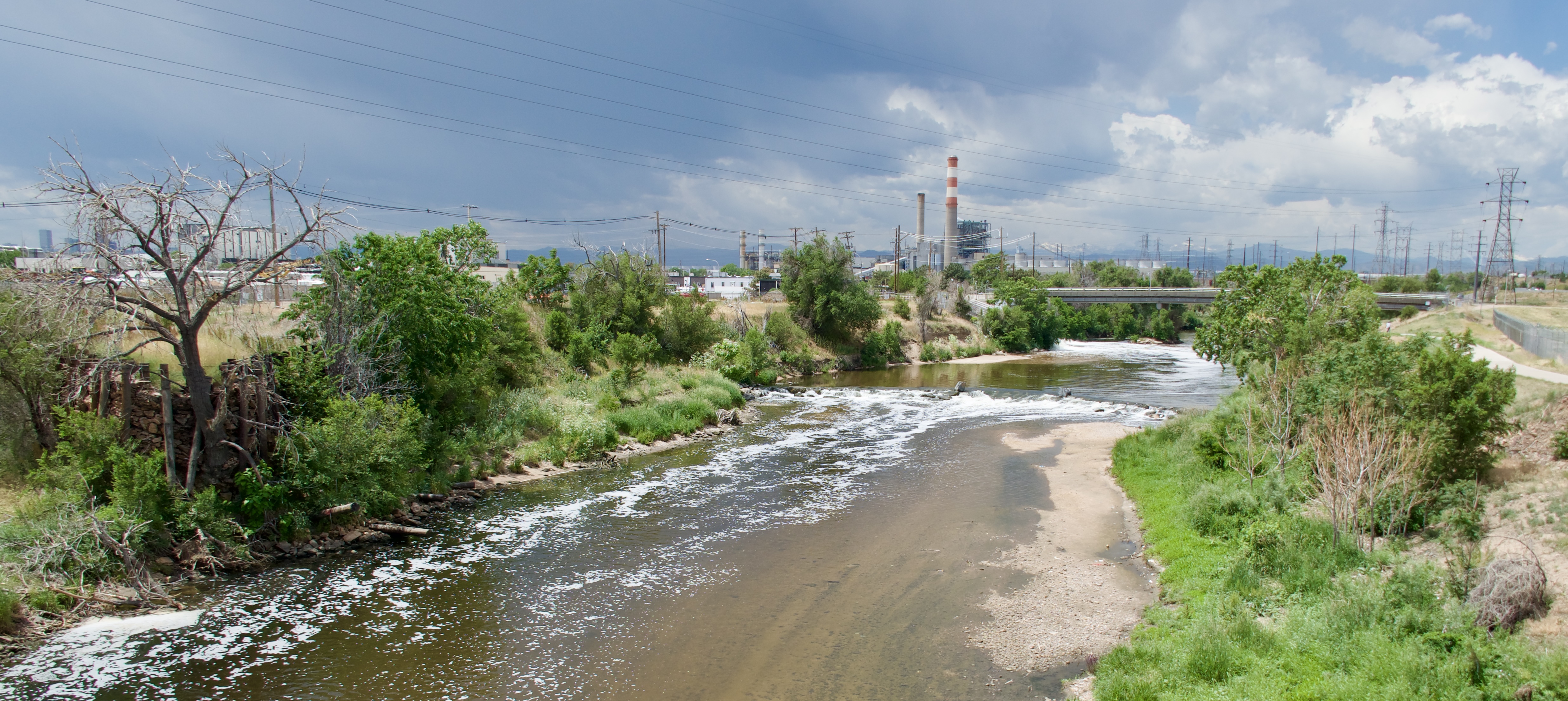
I felt like I spent an unreasonably long amount of time pedaling past the Suncor oil refinery, that unrepentant polluter of our local air and water.

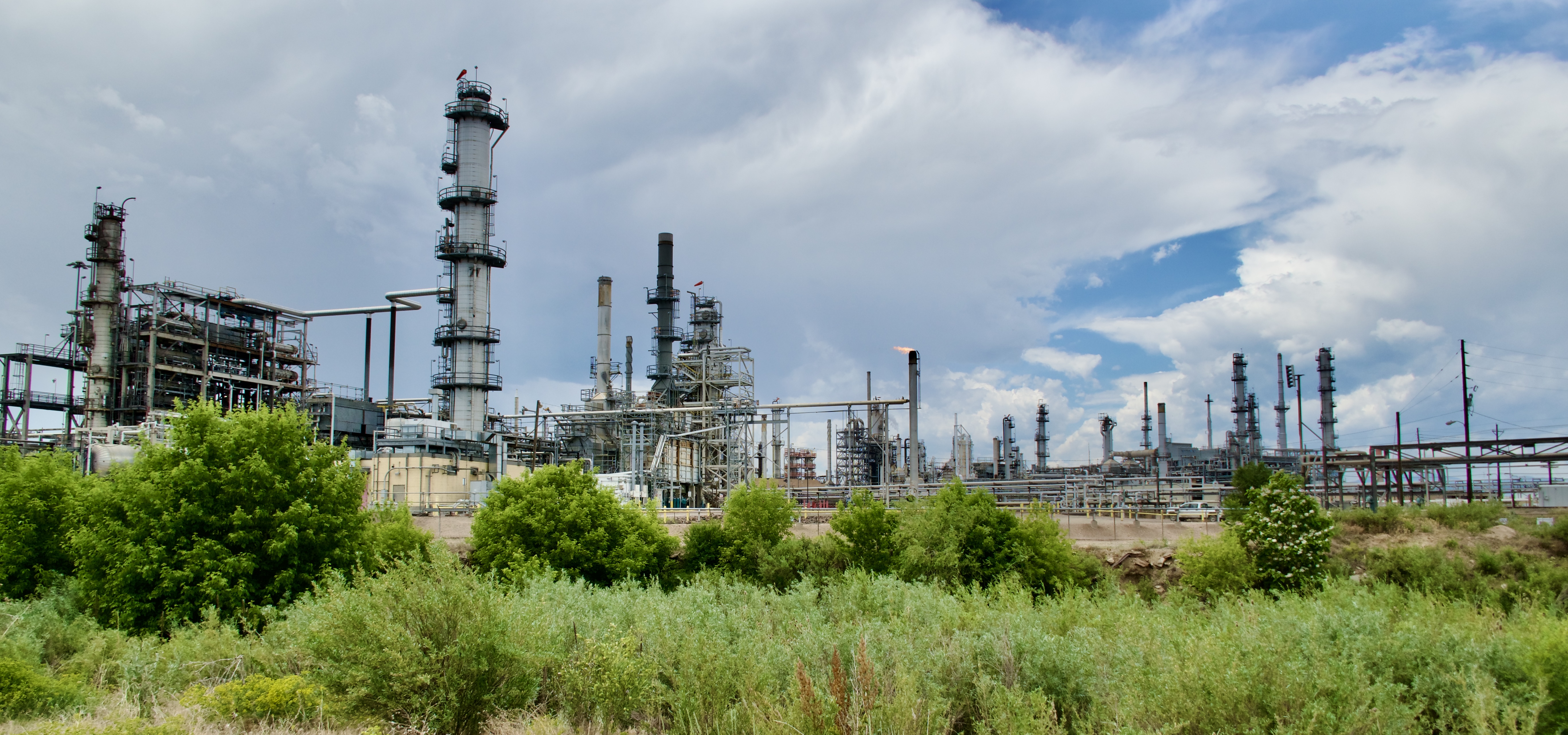
Place gives off Mordor vibes.

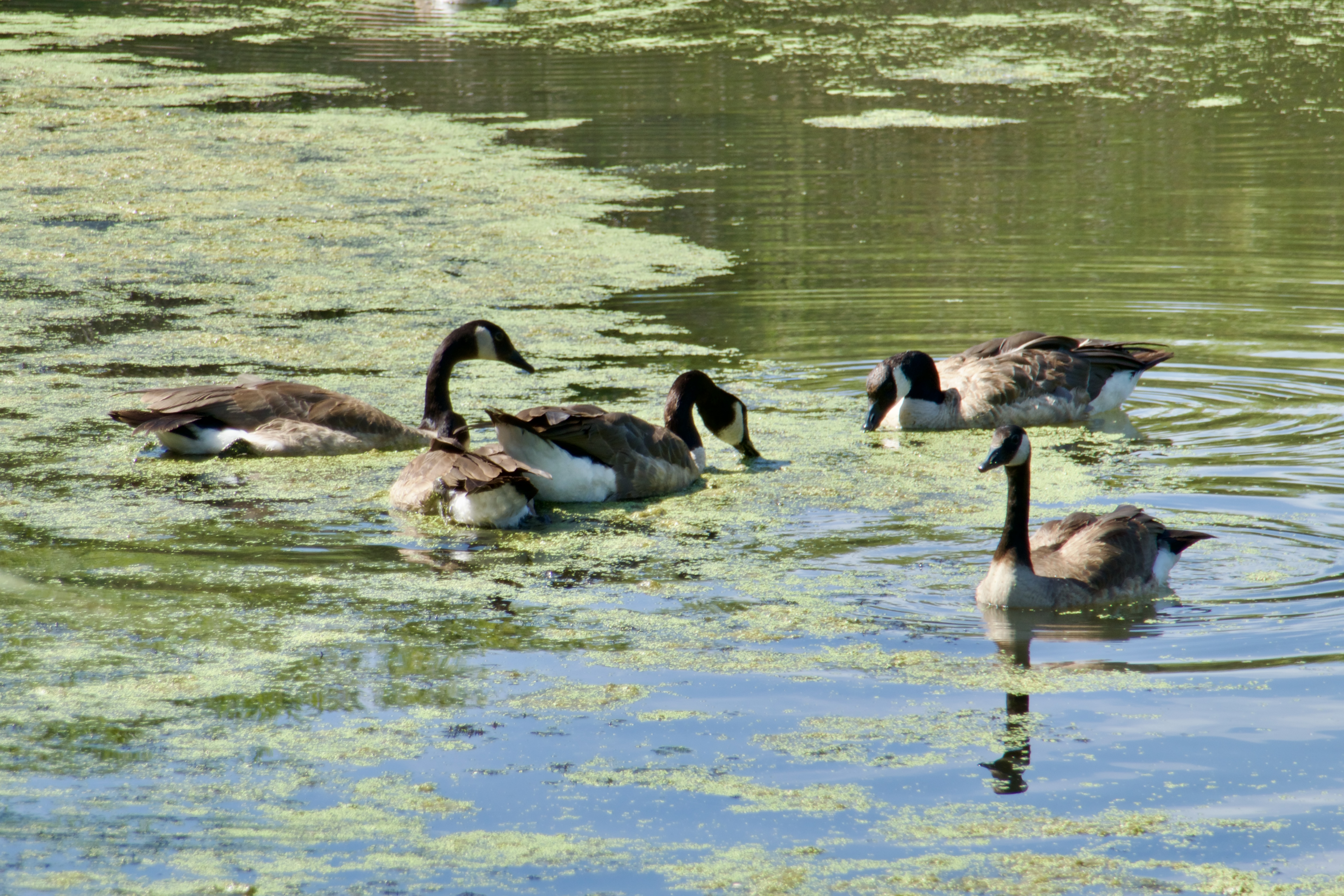
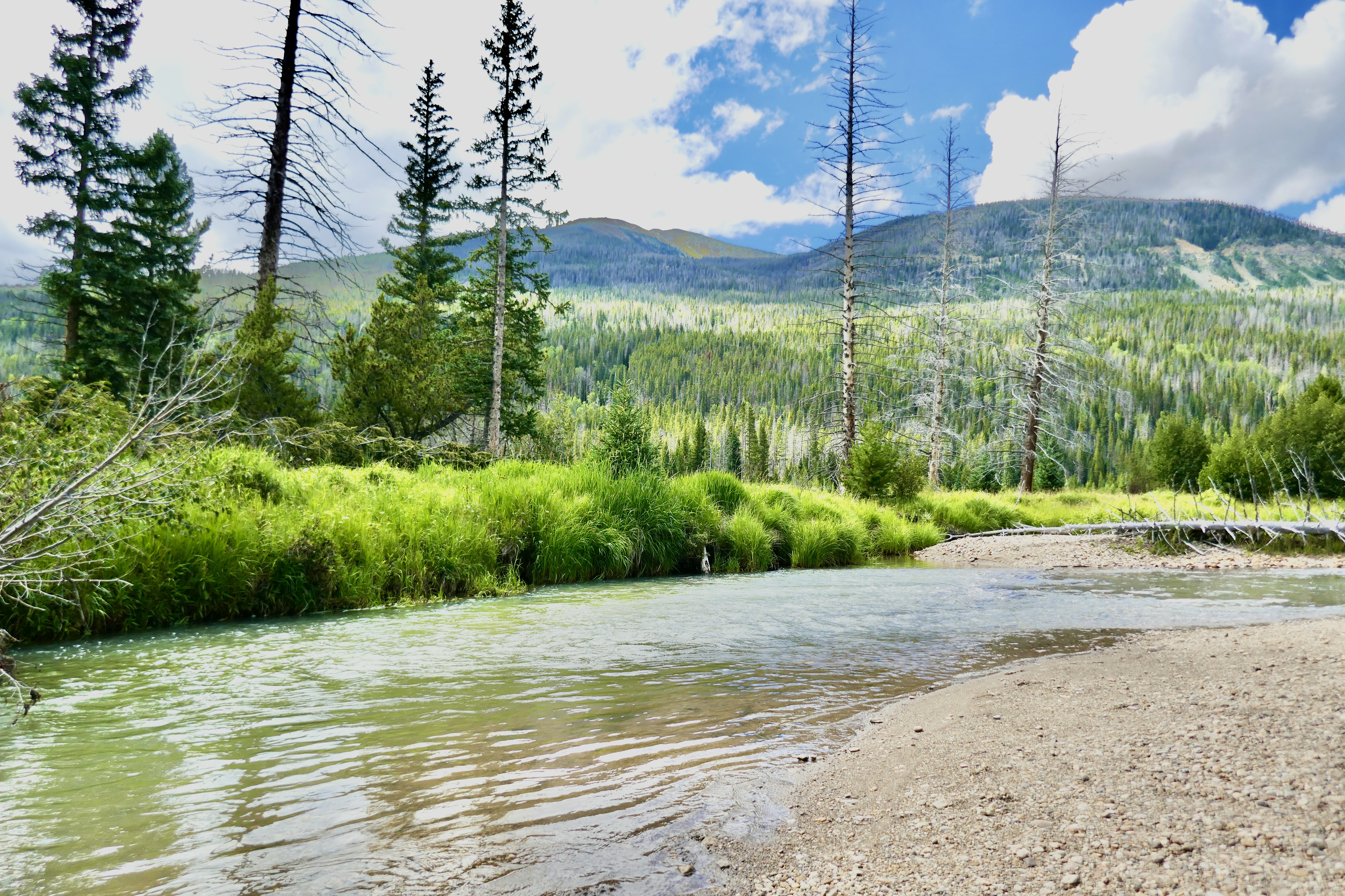
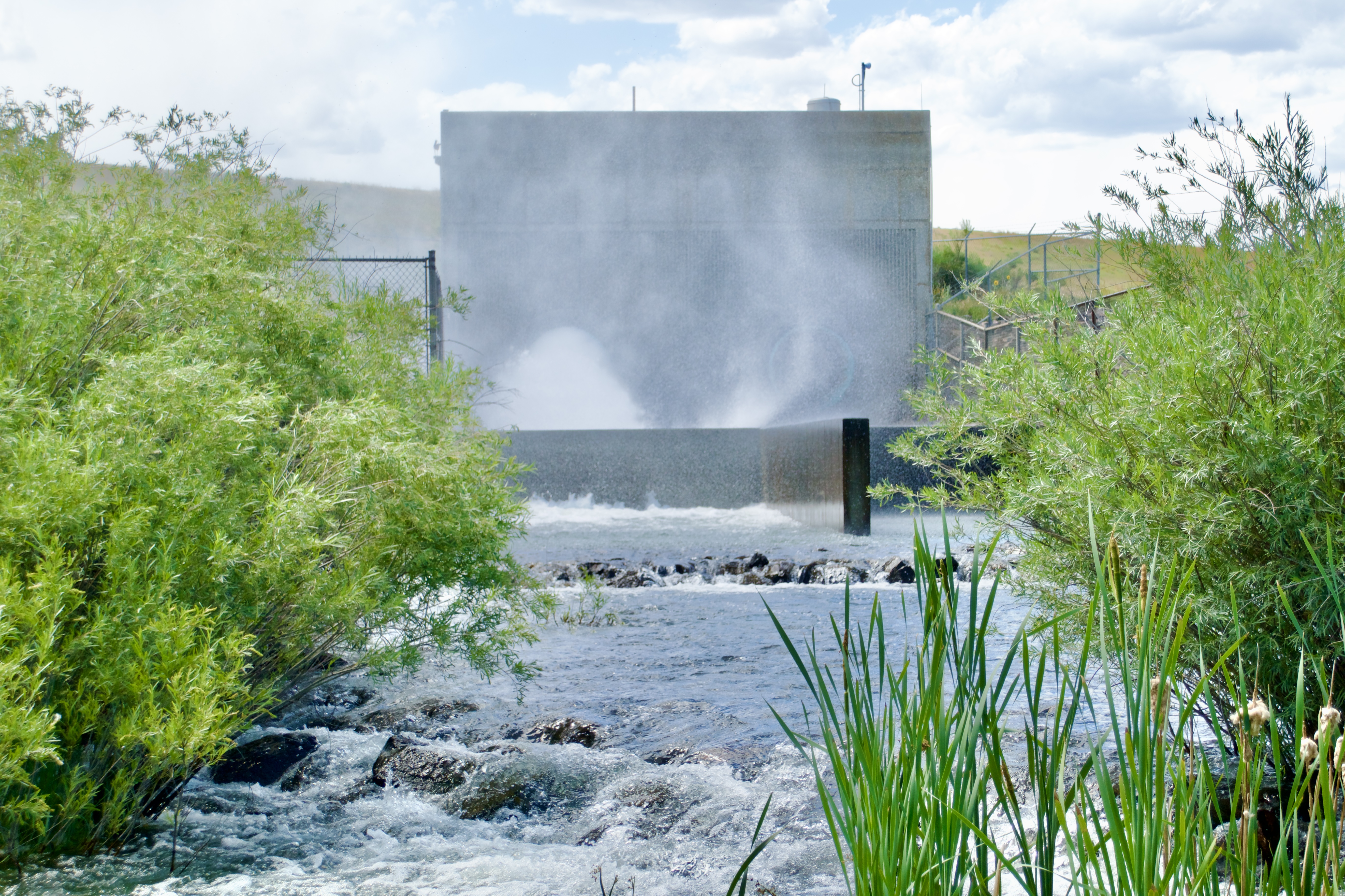
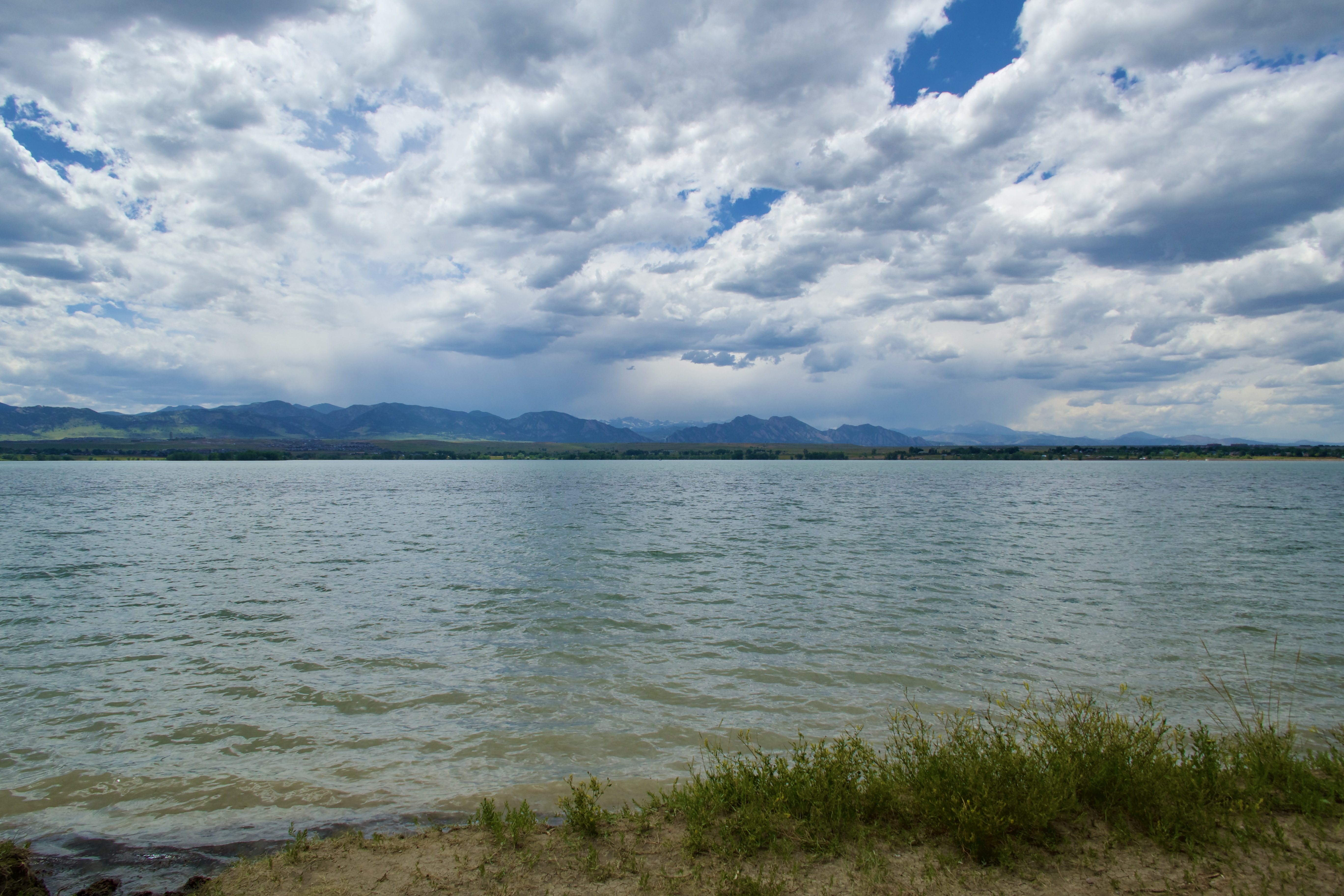
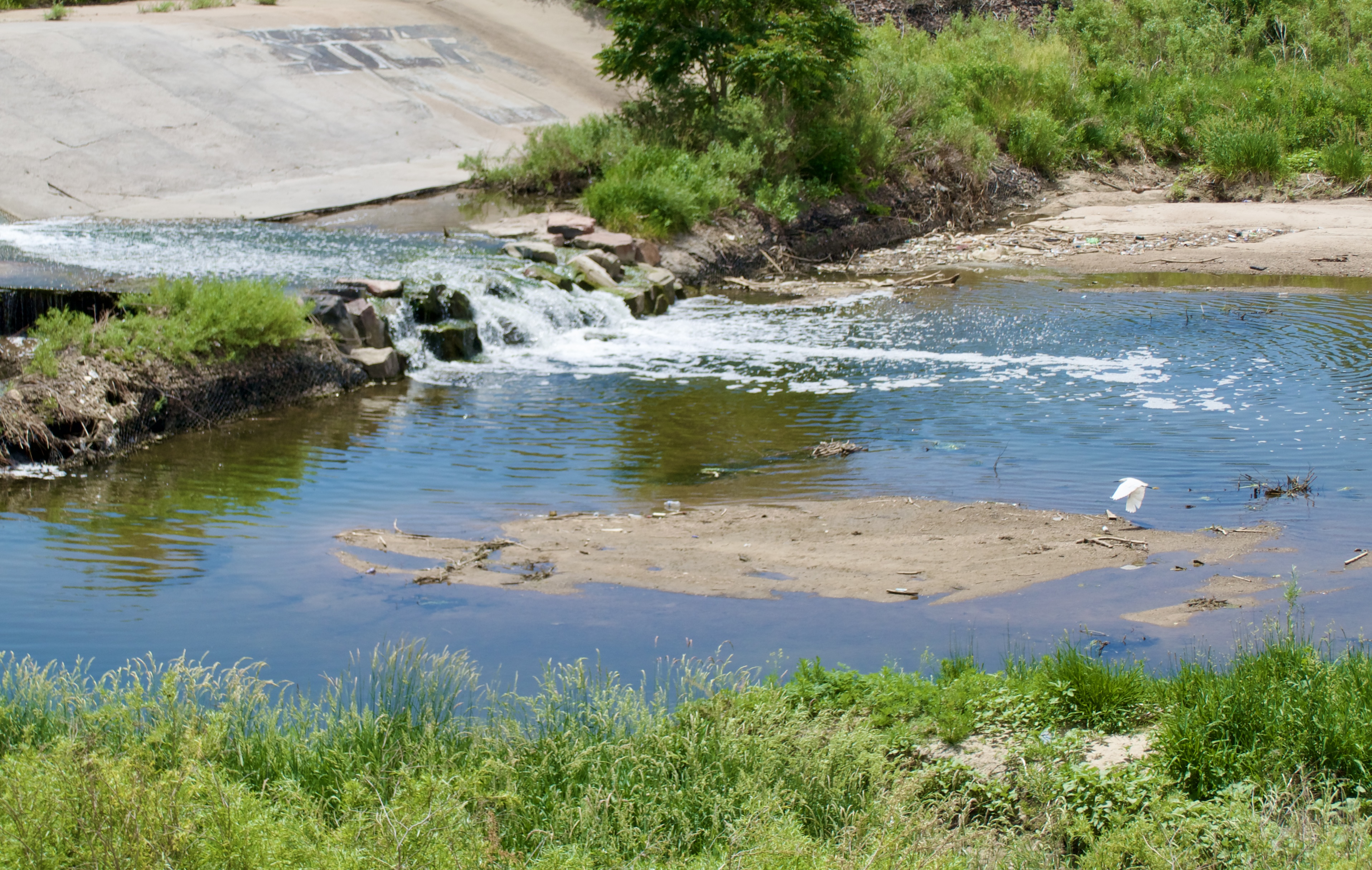
Eventually Sand Creek joined the South Platte River, against the scenic backdrop of a power plant smokestack. Good old Commerce City.

This dragon mural is almost too pretty to ride on.

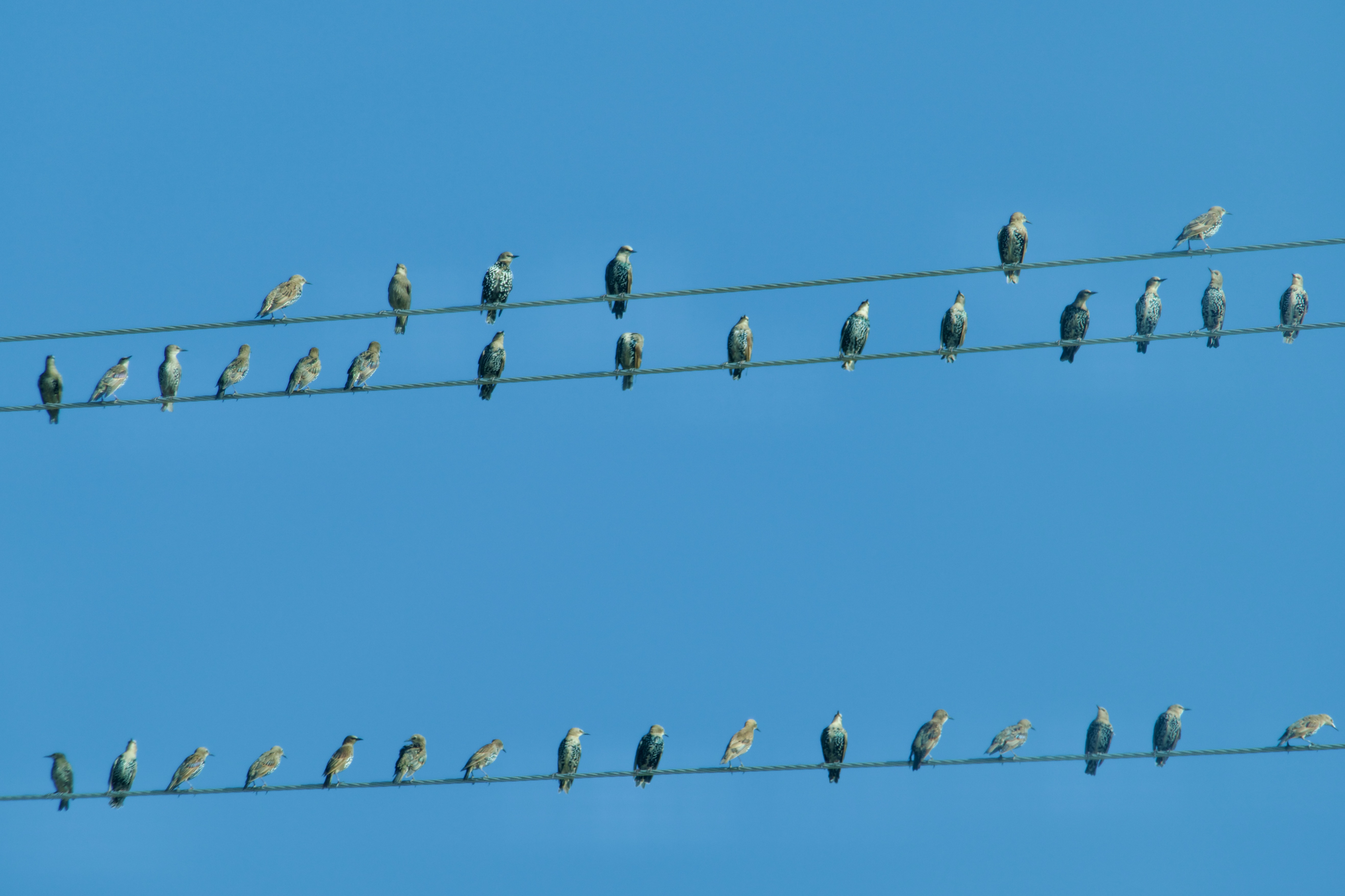
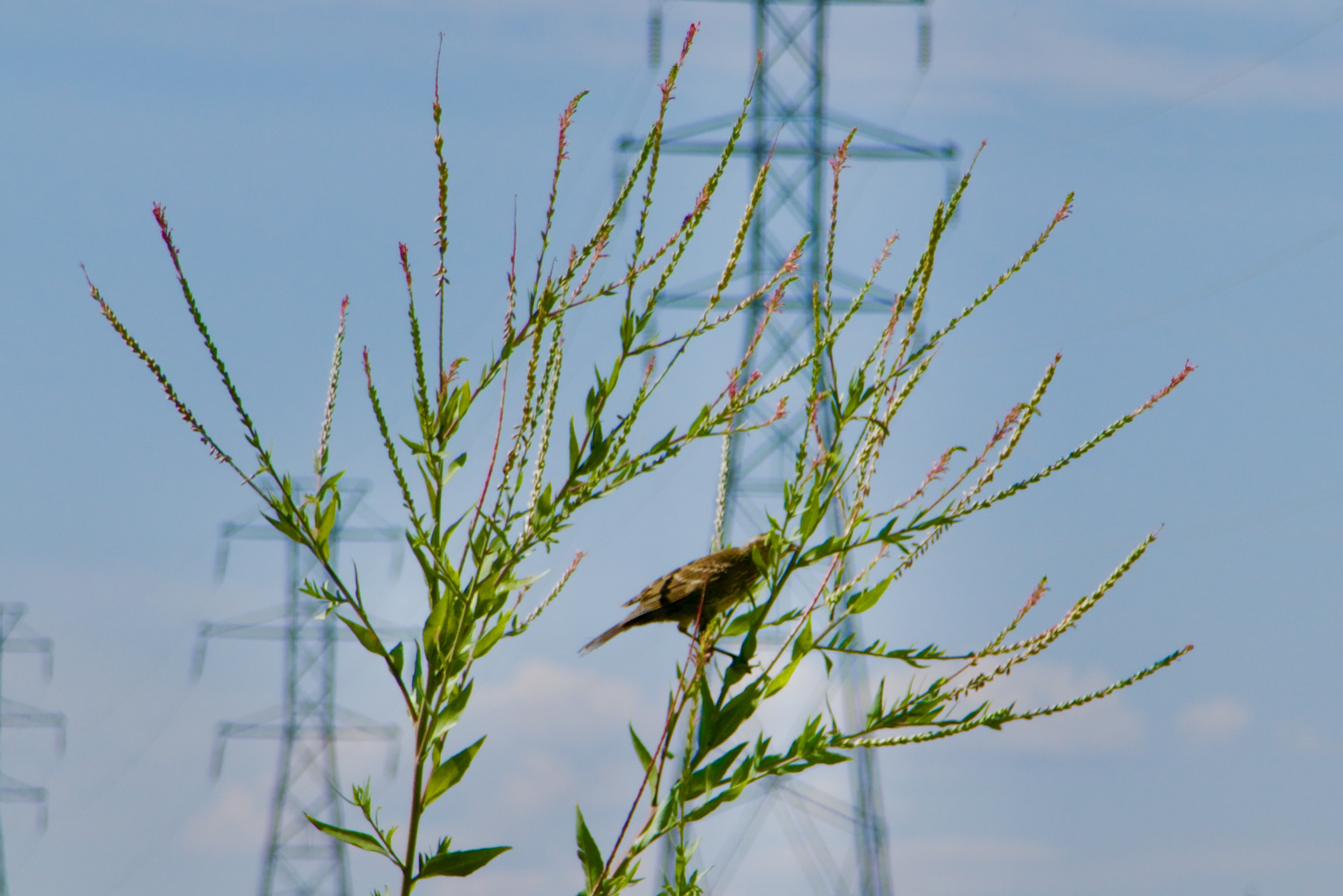
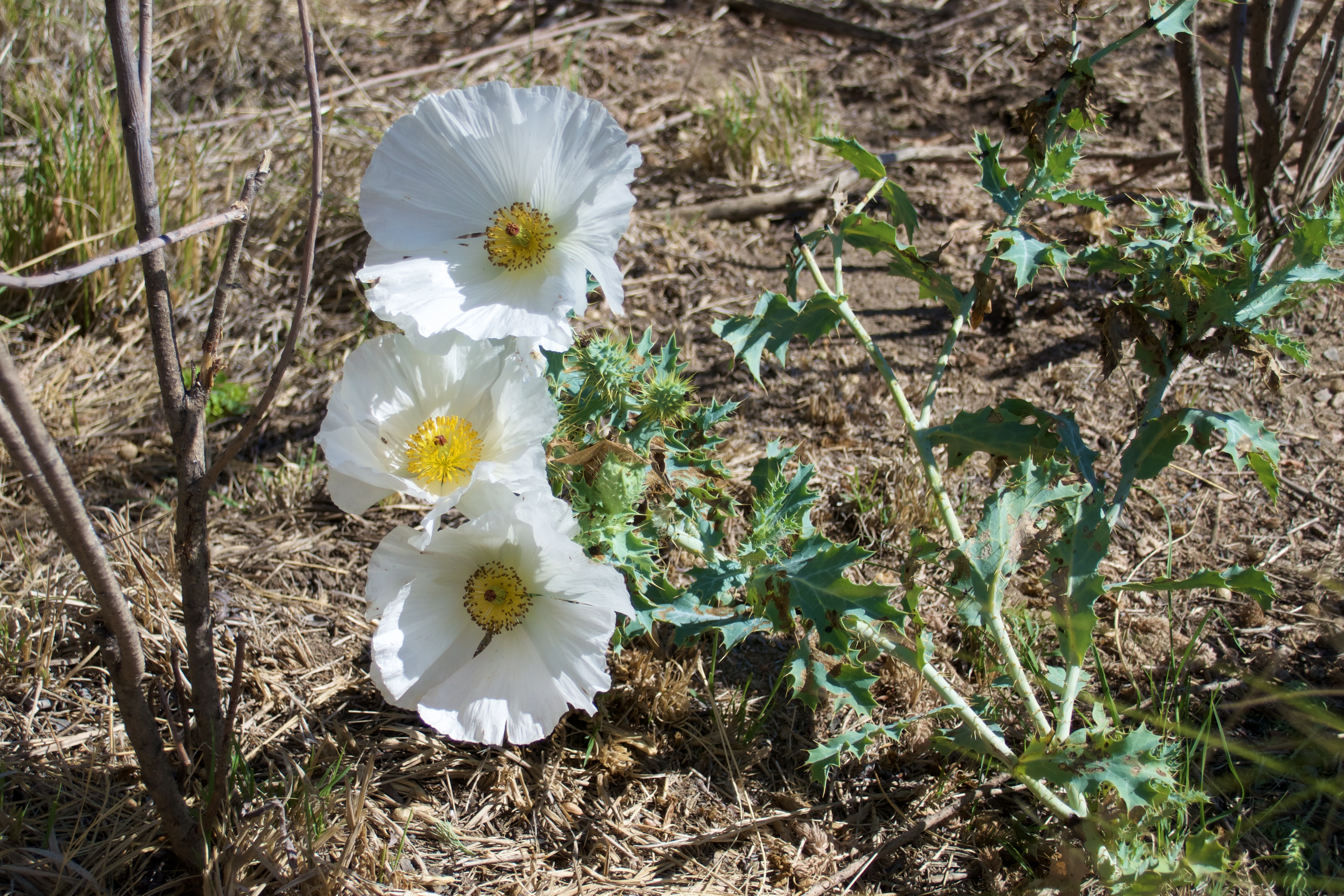
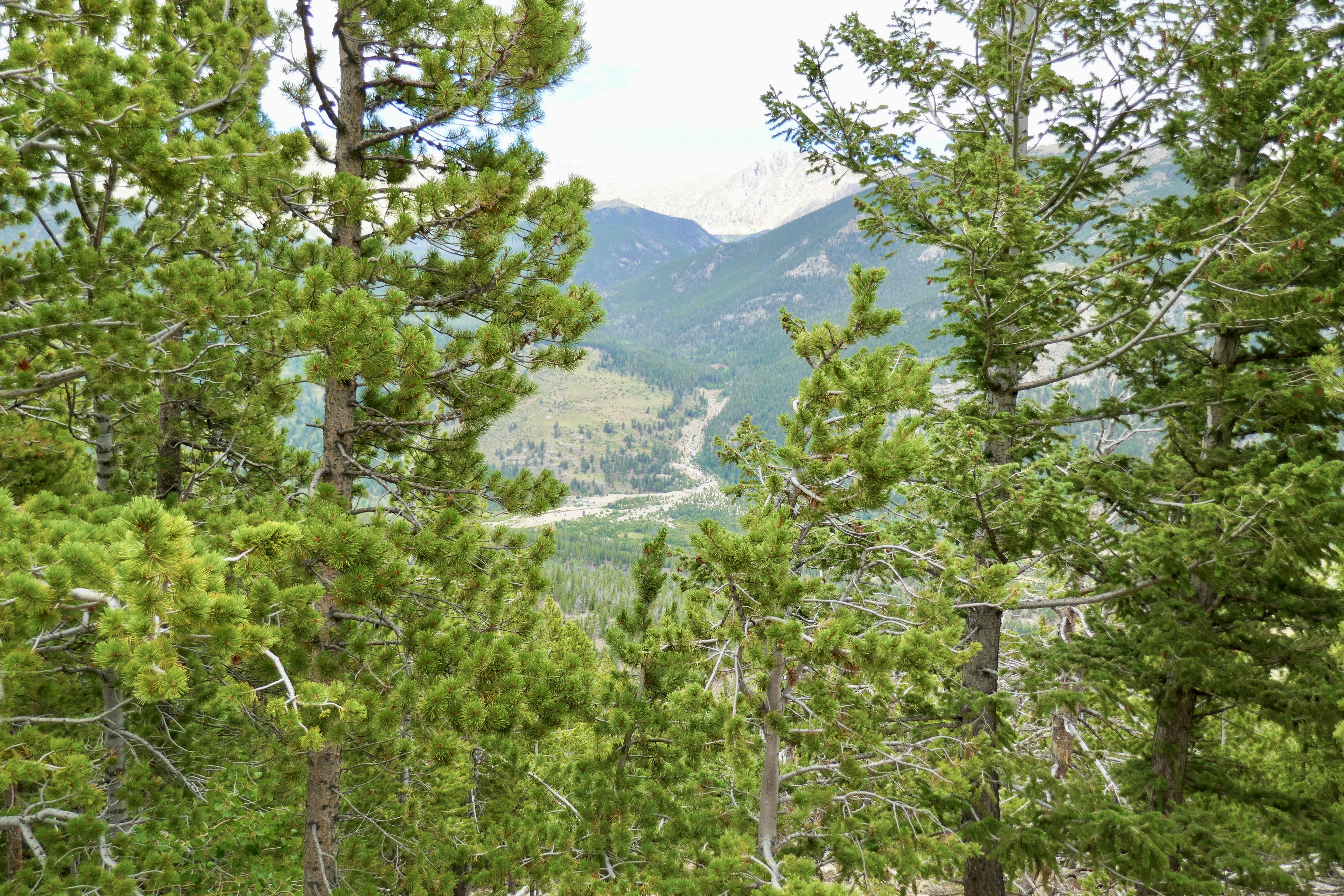
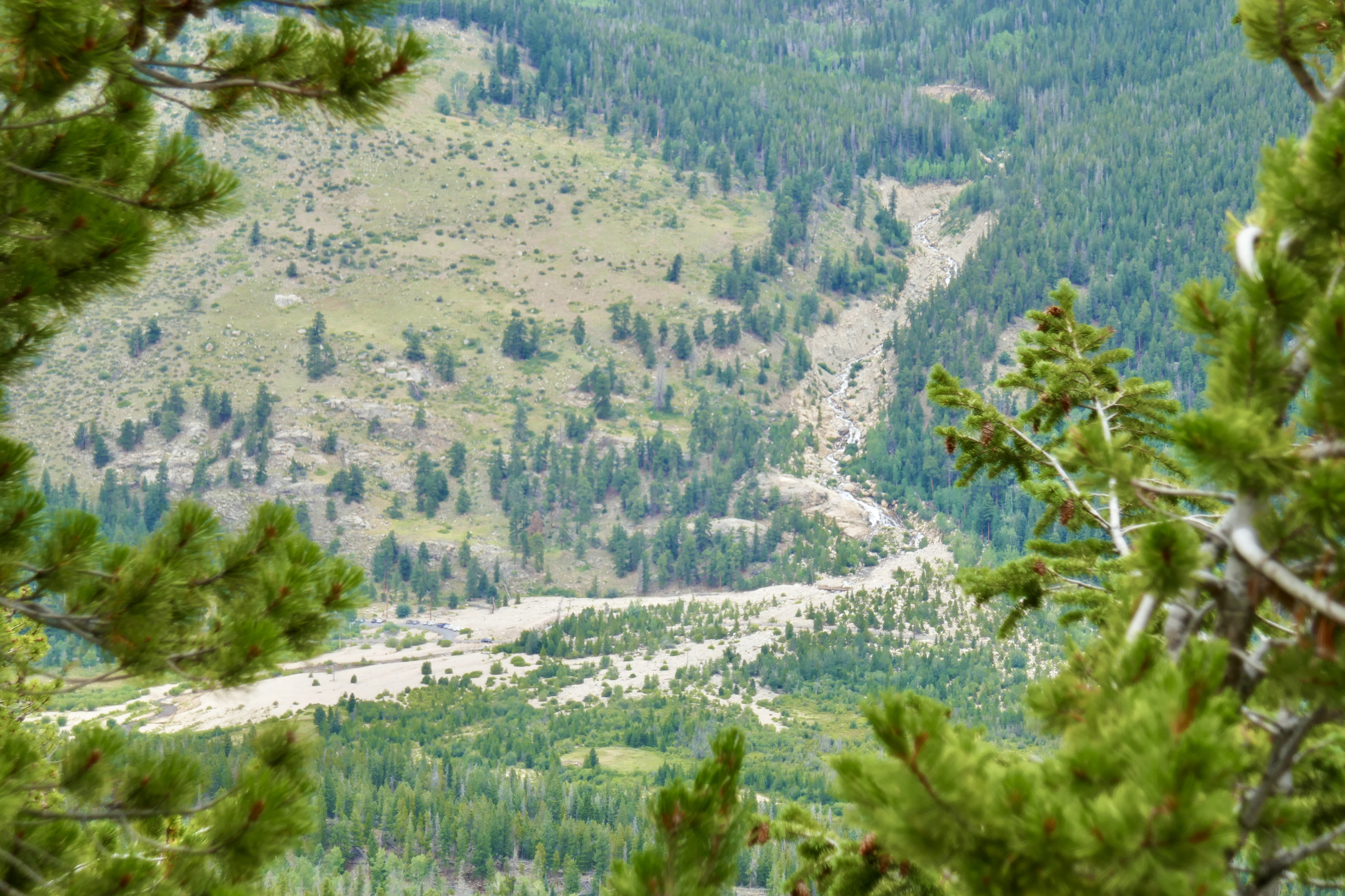
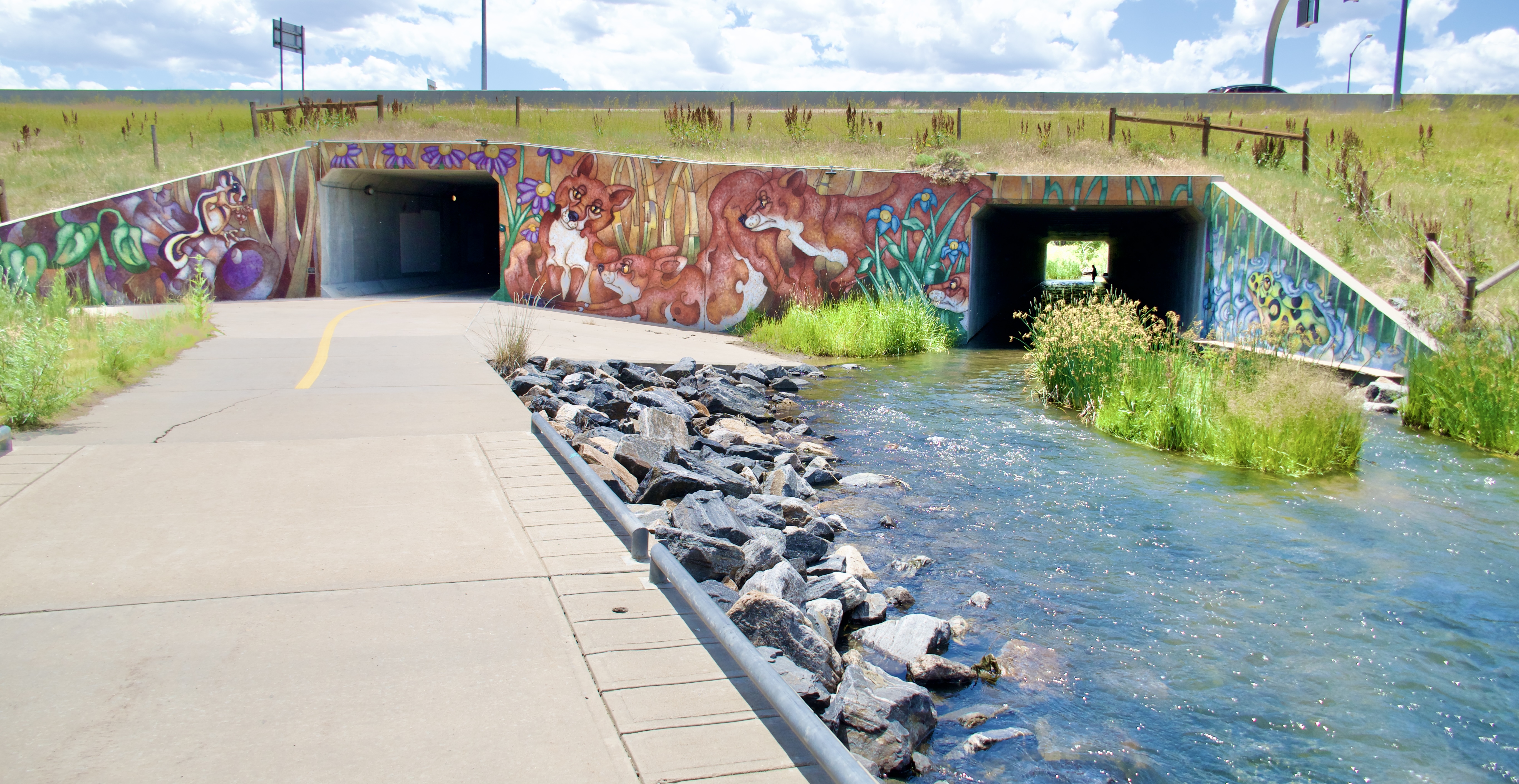
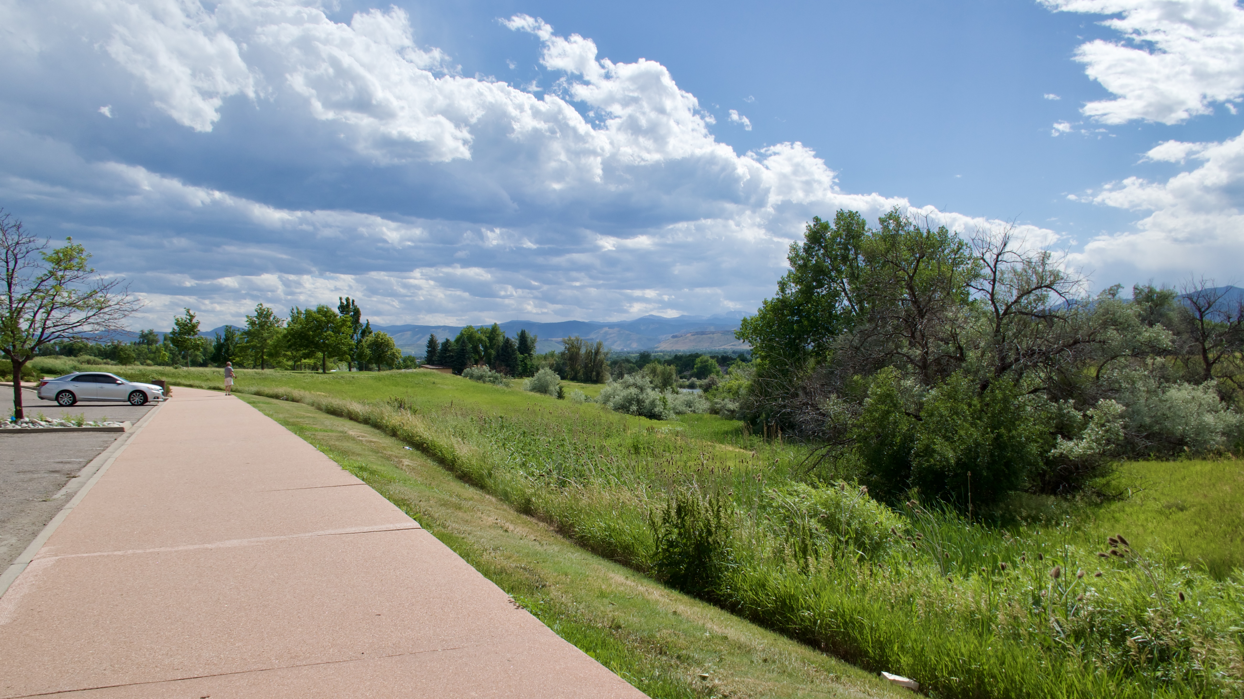
As I continued north the trail got nicer. More greenery, more art.

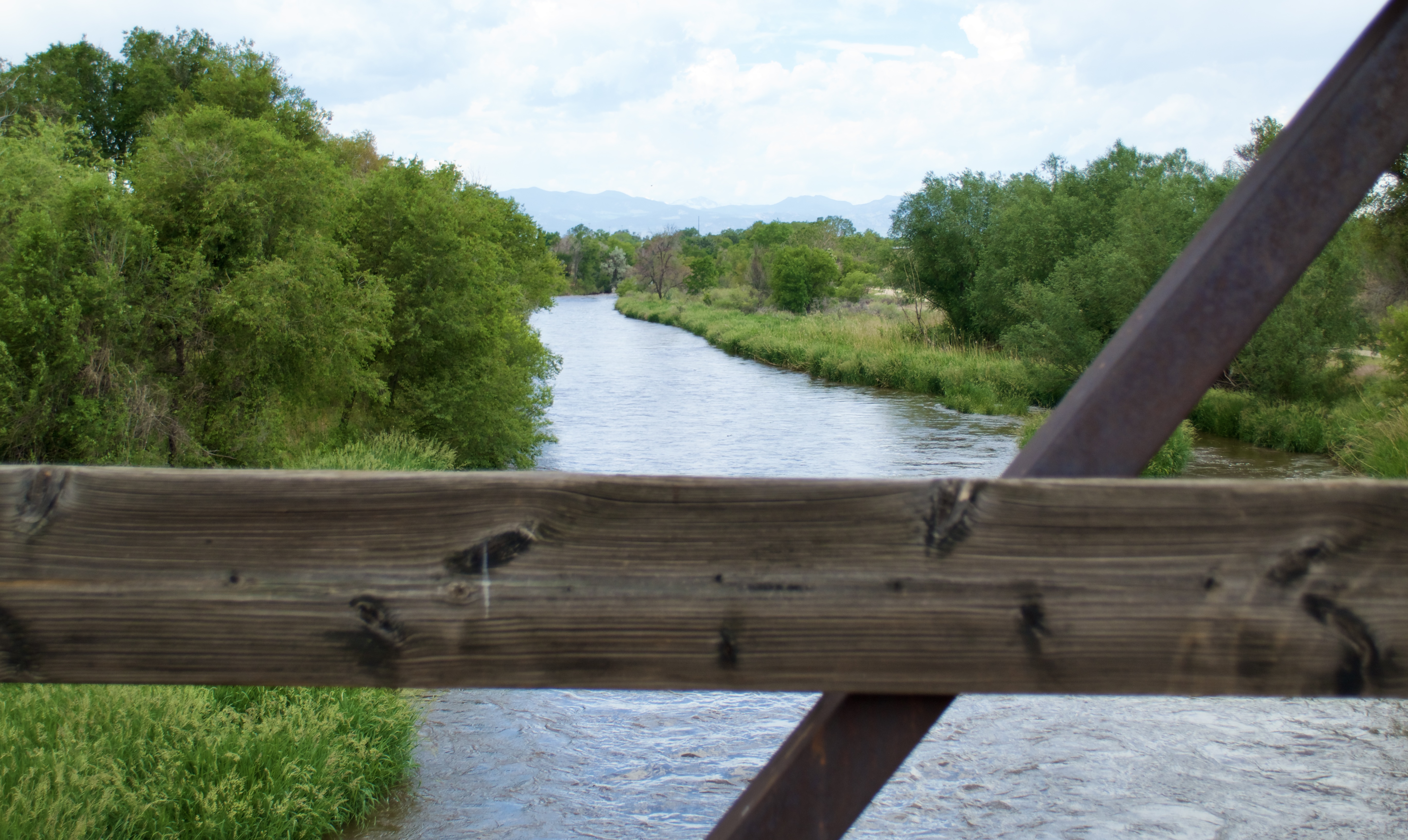
I just realized that not a single photo from Segment 21 made the blog cut. Which is strange, because it’s a very pleasant ride up the Platte River Trail. Guess I was too busy enjoying it to take pics.

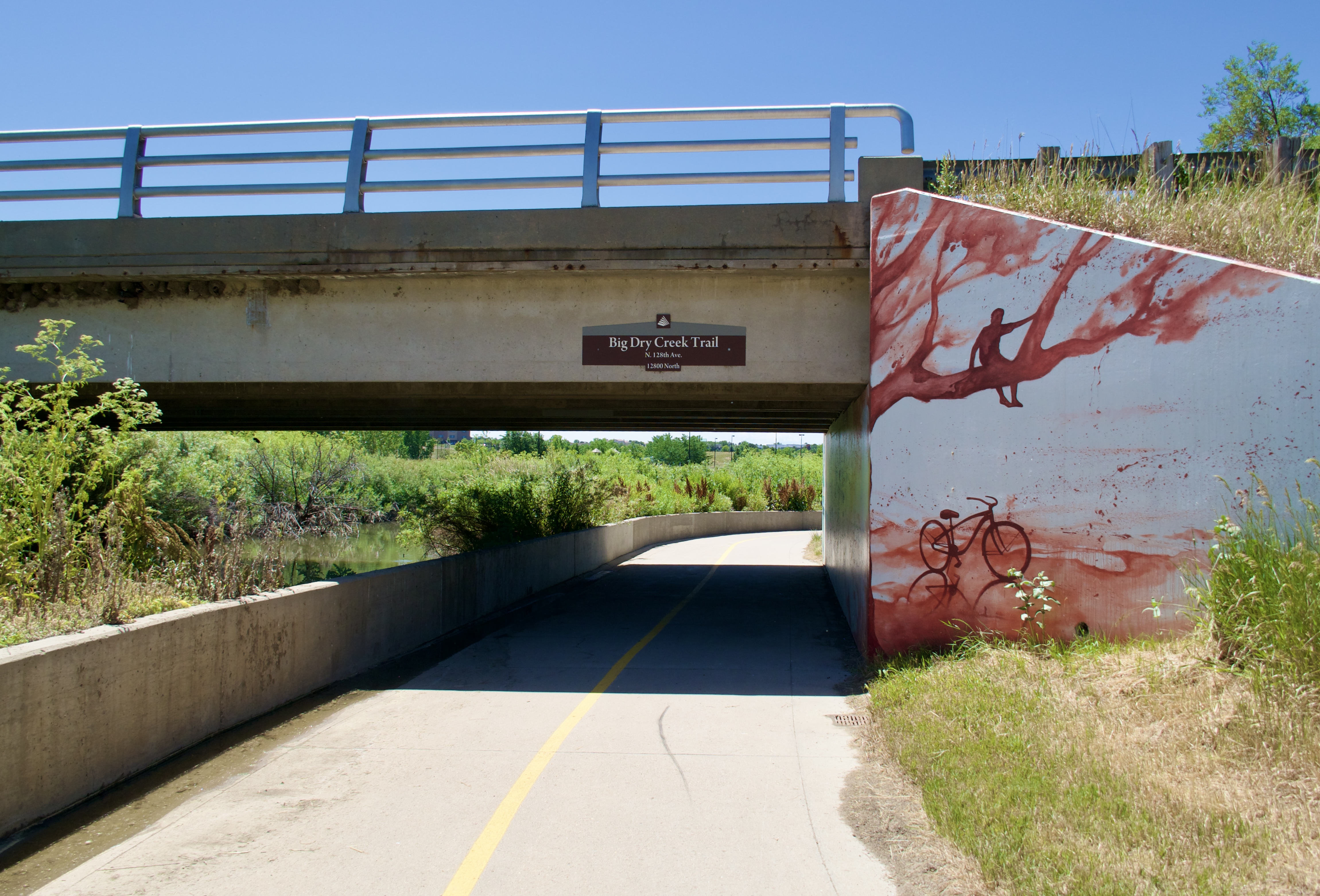
Segment 22 was my favorite on this loop, even though I was starting to get tired and was running low on water. I actually left the DOT where it crosses 128th Ave, turned left and rode to the Ziggi’s Coffee on the corner of 128th and Quebec St for a cold fruit-flavored green tea drink to refill my Thermoflask. And then — heresy! — instead of backtracking to where I’d left the DOT, I continued up Quebec St to intercept it where it curved around to the west. So now I technically won’t be able to say I’ve ridden the whole route unless I go back and cover that skipped half-mile of trail.

I stopped at Riverdale Park and stretched out on the grass under the shade of a big tree to rest and cool down. Thanks to the train delay and not having a book to read, my phone battery was getting low. I pulled out my power pack…and realized that the charging cable had somehow not made it from the staging area into my trail bag. So I spent the rest of the ride watching my phone slowly die and not being able to do anything about it. Fortune was not smiling upon me that day, gentle reader.

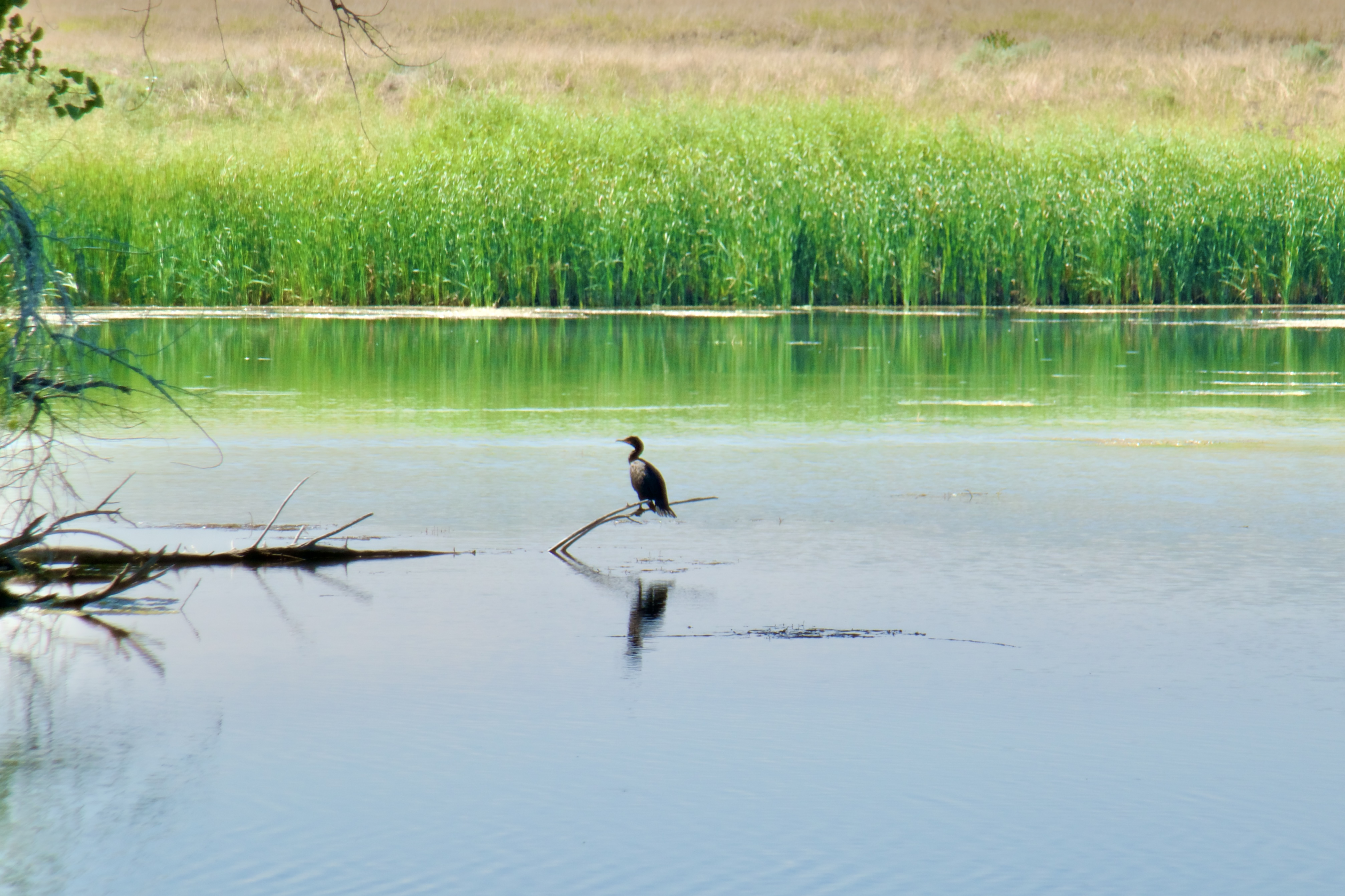
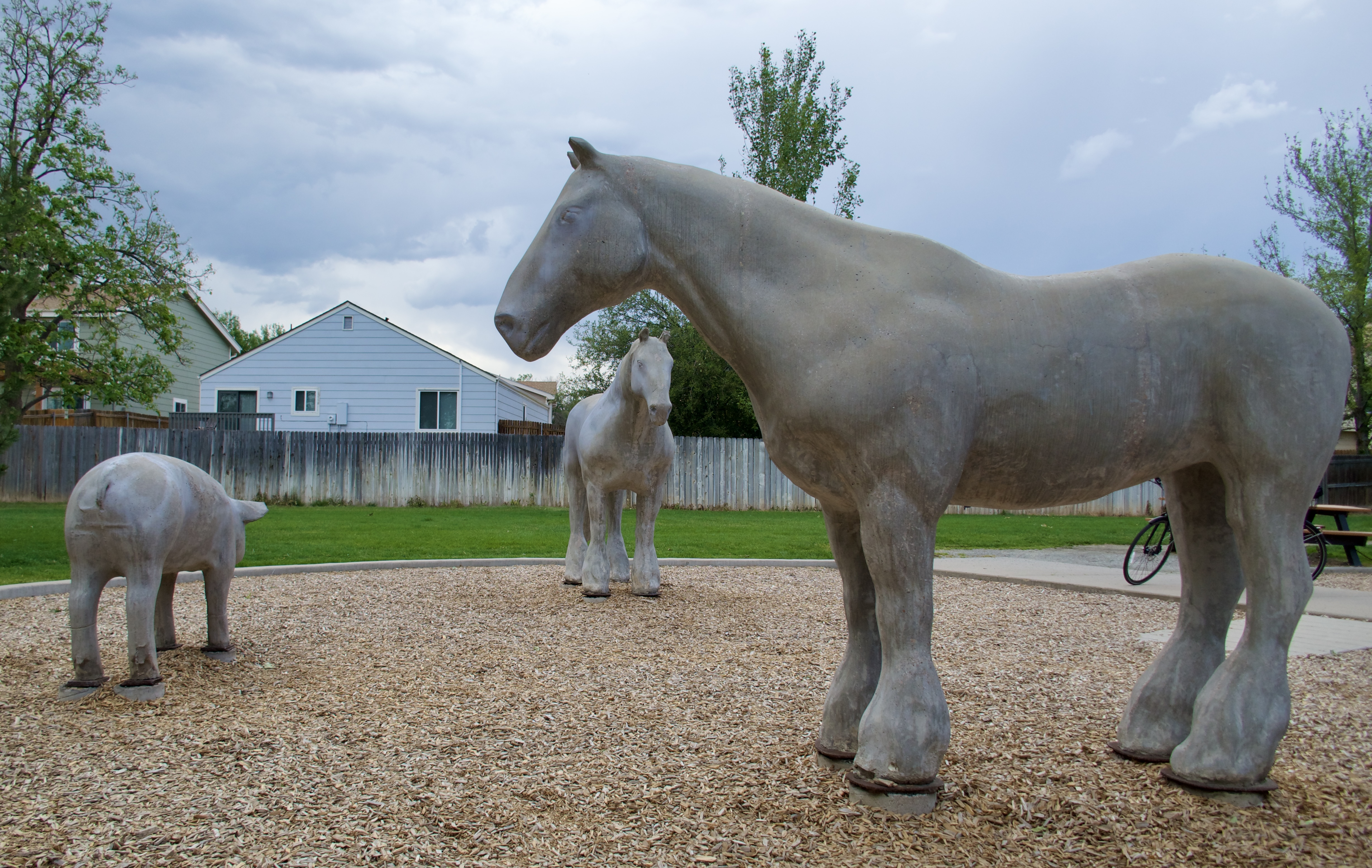
The trails up in north Thornton and Northglenn are really nice, though. I rode through a park with some random giant concrete animals…

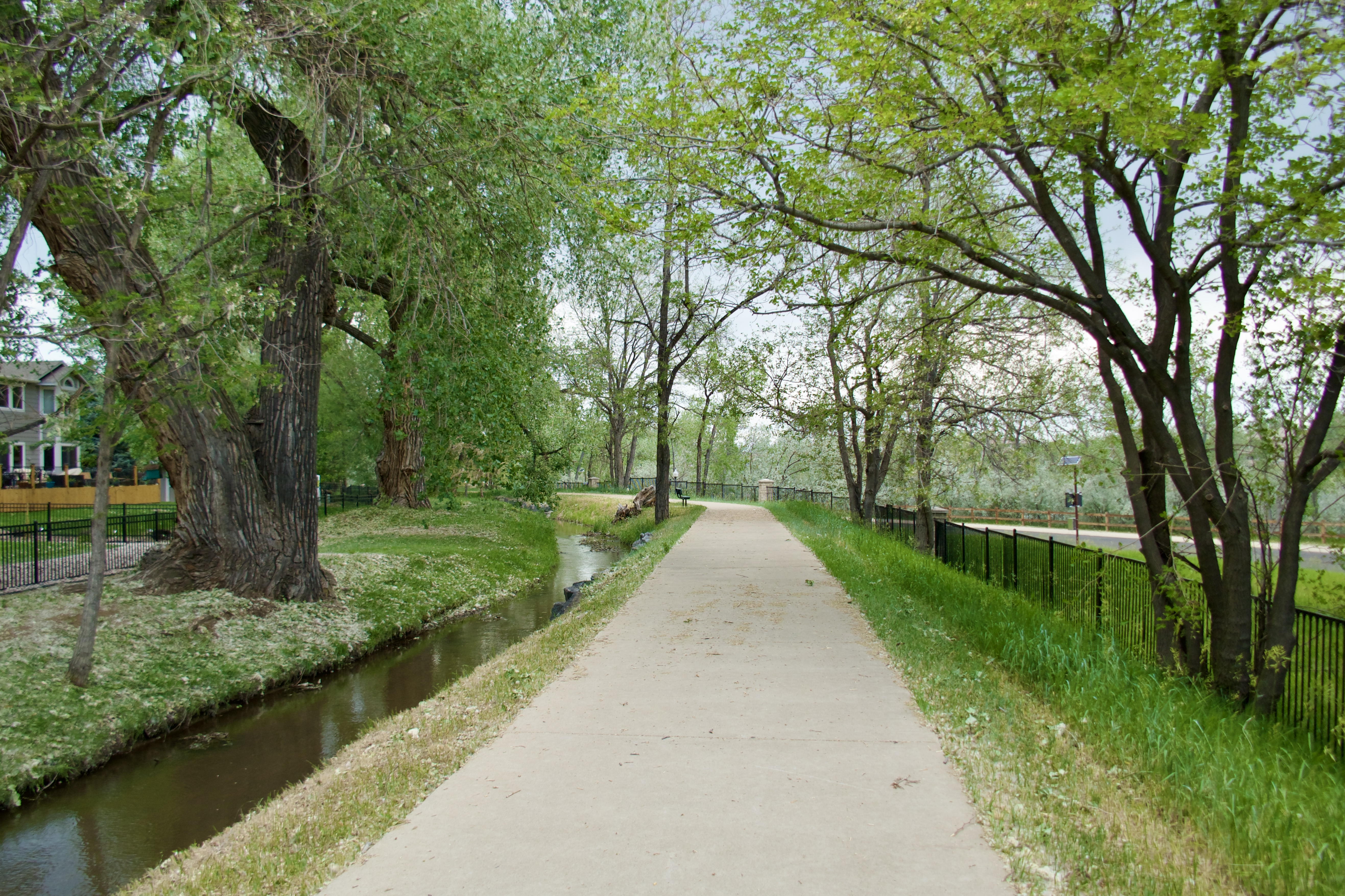
…along the lovely, shady Heritage Trail…


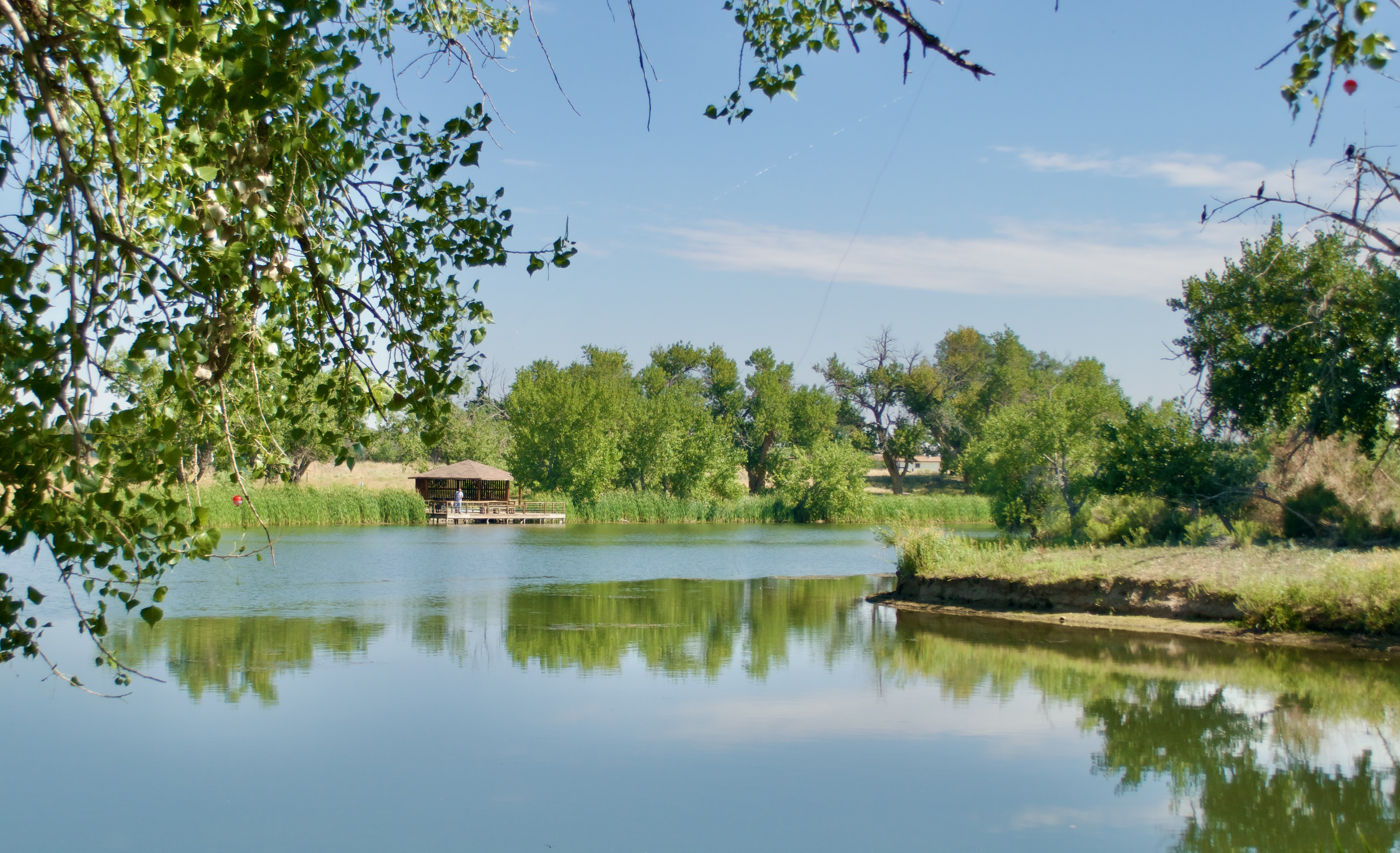
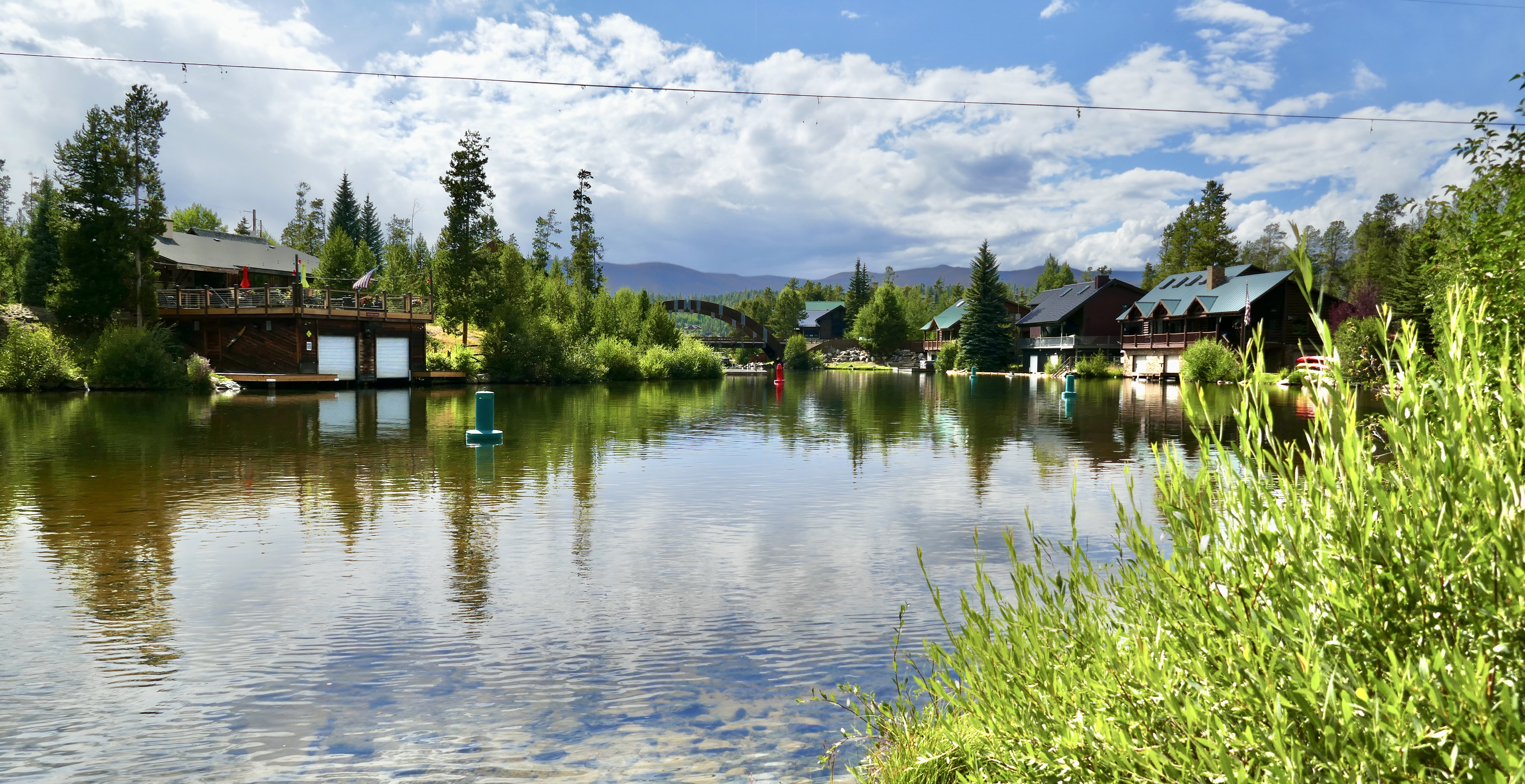
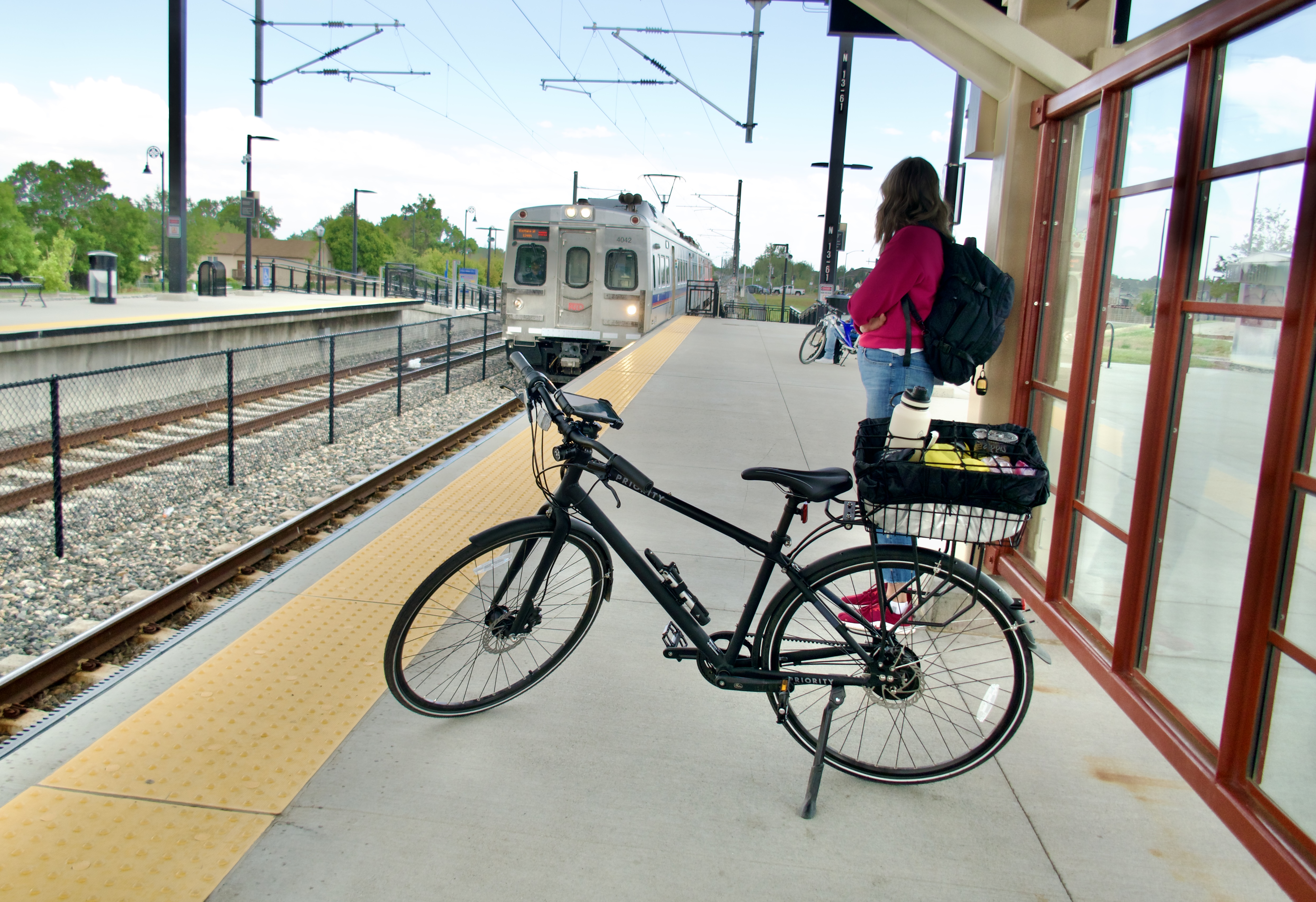
…and past Lake Avery, before coming to the end of Segment 22. Here I left the DOT and rode south to the Eastlake & 124th station on the N line.

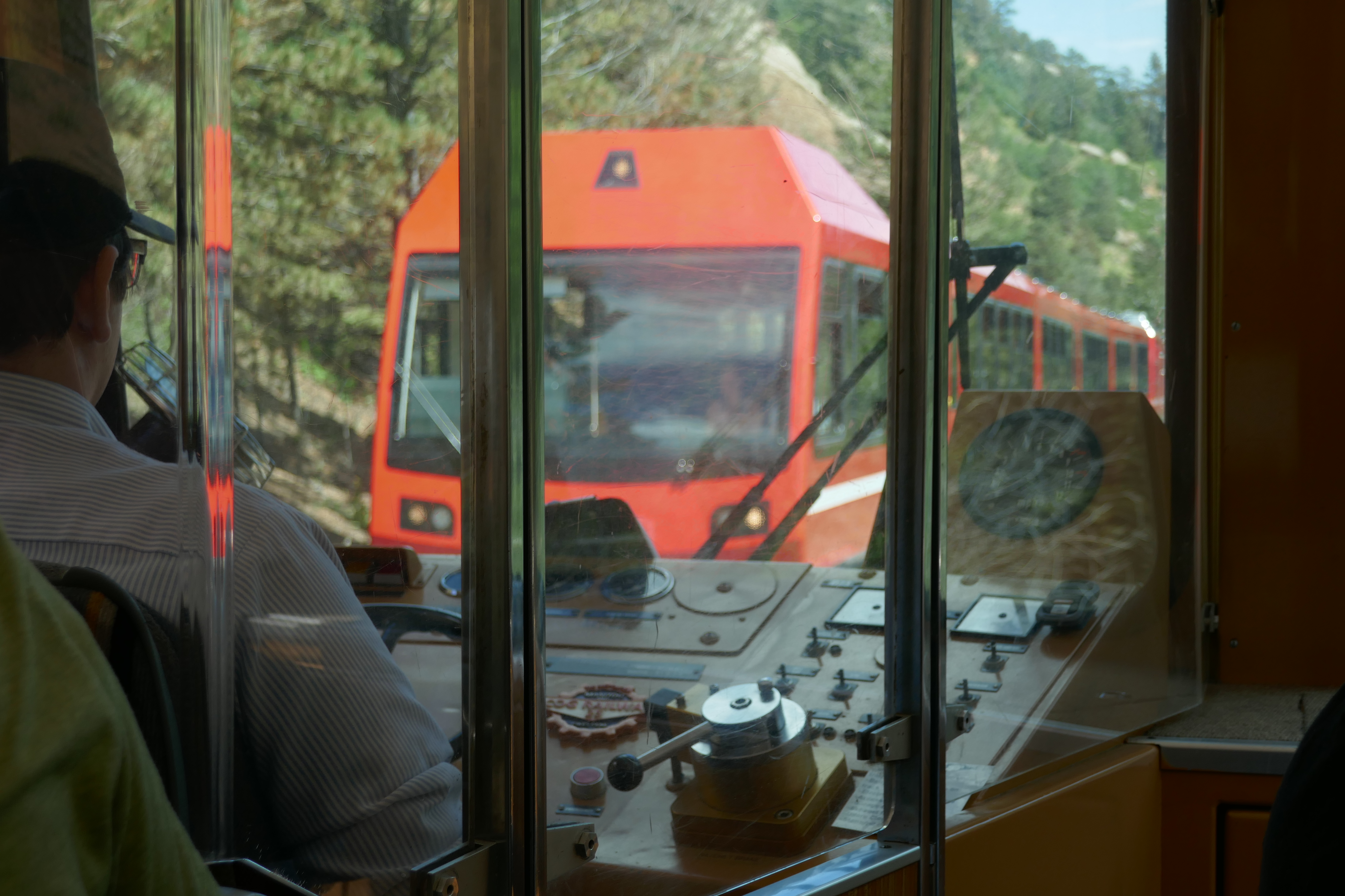
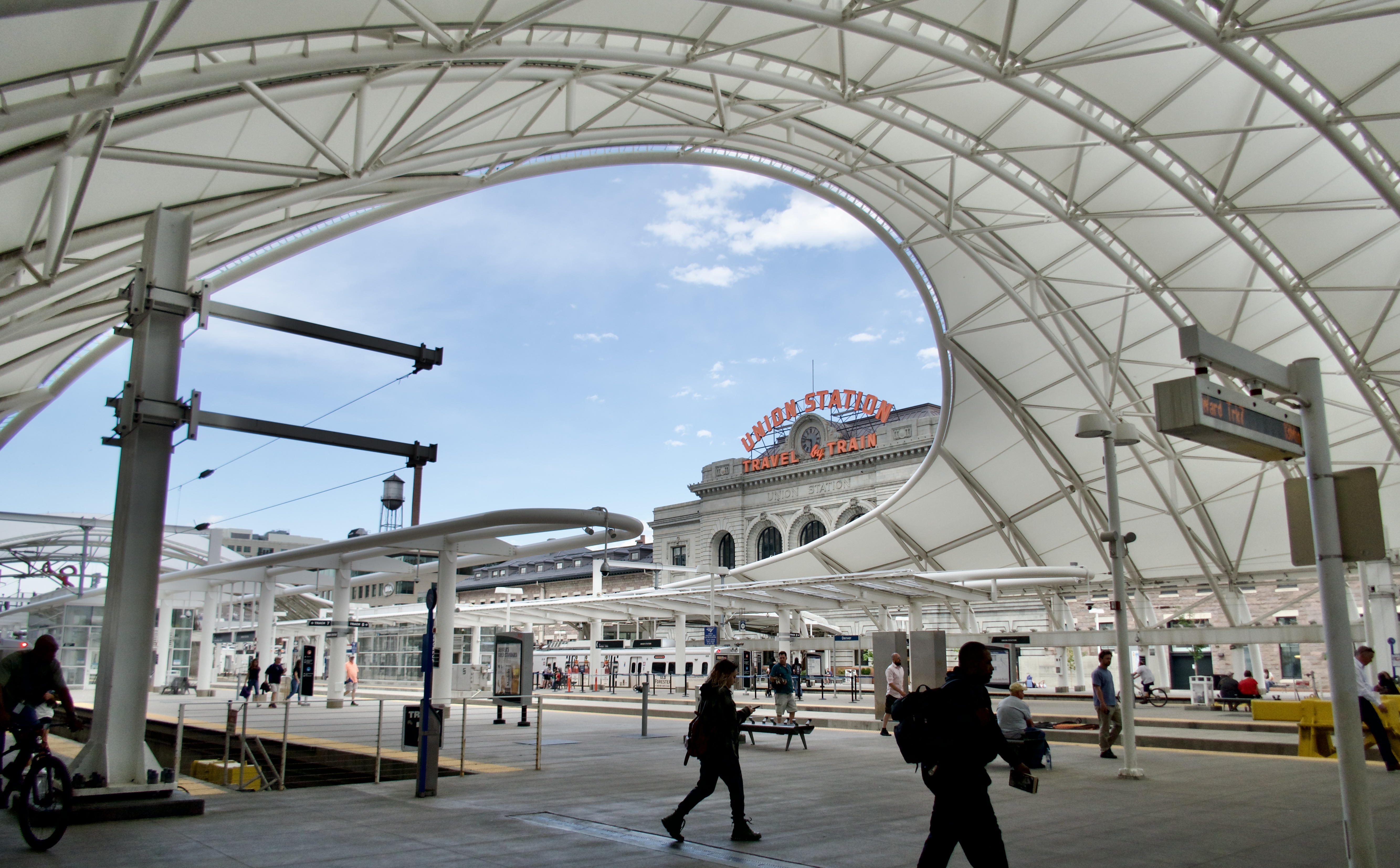
The nice thing about the light rail lines that connect to Union Station is that their stations have raised platforms so you can roll your bike or luggage right onto the train. On the R line you have to lug your bike up steep stairs to get it aboard, and it doesn’t have the fancy bike docks with the bungee cords to hold your bike so you can sit down.

There are a couple of big sculptures at the Eastlake and 124th station that I like a lot. “The Muses of Water…
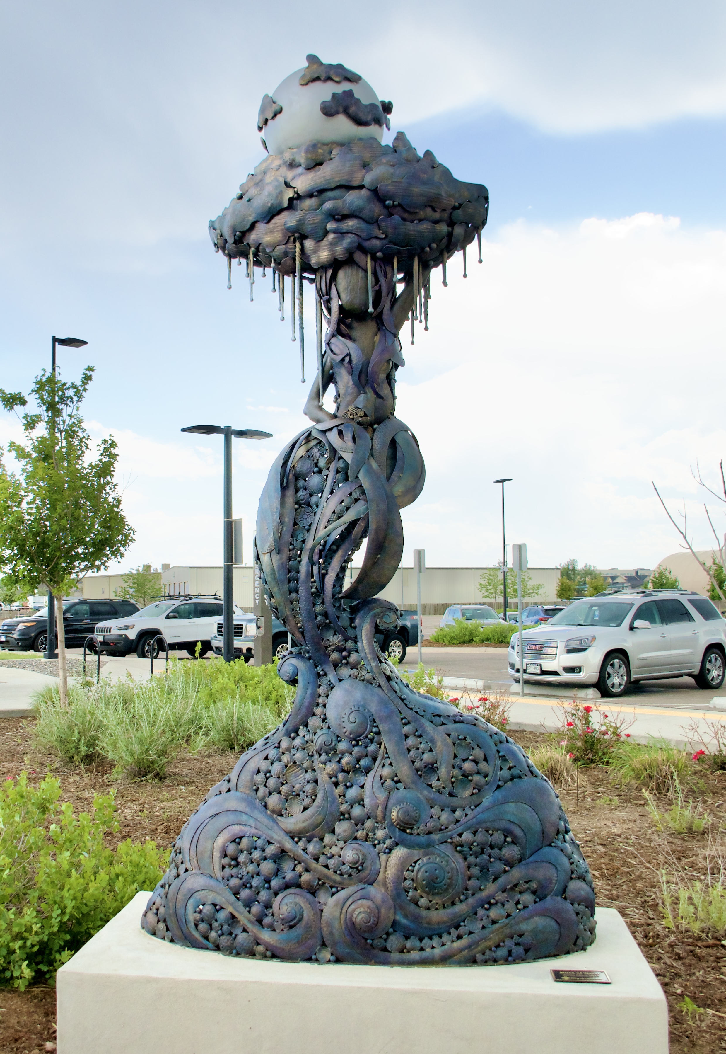
…and Earth.”

I have found Colorado public art displays to be rather hit-and-miss, with, in my opinion, more misses than hits. You won’t hear me say a lot of nice things about Texas, but I will say their public art displays are exceptional. My aesthetic standards got spoiled there. It makes some of the odd abstract nonsense in Colorado seem unnecessary at best, and I’m speaking as someone who believes that the world should be full of good art.

But yeah, those Muse sculptures are very nice. Also saw some cool horse sculptures at the 48th & Brighton National Western Center Station.

Took the N line to Union Station, then transferred to the A and got off at the Peoria Station. Waited a few minutes for the R, but it was running late again, or still. Rather than wait, I decided to ride my bike home from there. By now my phone was dead, so I didn’t have gps to chart the shortest course for me, but I got home with no issues.

Still a very enjoyable ride, and a good opportunity to be the rubber ball.

More to come!

Categories: A Plethora of Parks, Animals, Artwork, DOT by Bike and Rail, environment, Horses, Life, trail rides, trees, Weather, Wildlife | 5 Comments

DOT by Bike and Rail

“The bicycle, the bicycle surely, should always be the vehicle of novelists and poets.” – Christopher Morley

My work commute is so short that using a car seems wasteful, so I got a bicycle. I thought I would have to coax myself into not driving, but the opposite happened–I was hooked from the first ride. I love my bike!

I decided to start exploring my big local network of hike-and-bike trails. With Mahogany enjoying semi-retirement in a big pasture out on the eastern plains, I was open to something that would scratch that “trail ride” itch. The Denver Orbital Trail, or DOT, seemed like a great place to start. It’s a big 177-mile loop that connects sections of existing paths and trails to encircle the Denver Metro area.

The DOT was created by a hiker, and its 28 segments are sized for day-hikes with places to park at the beginning and end of each one. I briefly considered getting a bike rack for my car, but really I prefer not to get the car involved at all. In the end I modified the DOT into a series of longer, bike-length segments that each start and end near a light rail station.

For my first loop–Loop 1 on my list–I jumped onto the High Line Canal Trail in Aurora where it crosses Potomac St and followed it east to where it connects with the DOT about halfway through Segment 15. Then I followed the DOT north through the rest of Segment 15 and about half of Segment 16.

This stretch was a great introduction to the DOT for me. It’s short, easy and scenic, with good views of the front range.

I got barked at by prairie dogs from one end of my ride to the other. I actually love prairie dogs. Their villages are everywhere in Aurora, and sometimes I’ll just sit and watch them going about their business. They remind me of the meerkat village I used to like to visit at the San Diego Zoo.

Also, this majestic fence!

There’s a short path that connects the High Line Canal Trail to the Sand Creek Regional Greenway. I turned off onto it, thinking that I was leaving the DOT to loop back around to Fitzsimmons light rail station. Actually the DOT turns here too. This caused some confusion on my next ride, but that’s on me for not paying closer attention.

The Sand Creek Regional Greenway is a pretty trail.

It passes through Sand Creek Park, which is right next to Fitzsimmons Station.

I took the R Line back to 2nd and Abilene–my “home base” station–to complete Loop 1. Absolutely loved this entire experience!

“When the spirits are low, when the day appears dark, when work becomes monotonous, when hope hardly seems worth having, just mount a bicycle and go out for a spin down the road, without thought on anything but the ride you are taking.”  – Arthur Conan Doyle

After the first ride I mounted a phone holder to my bike, so I could keep an eye on the route as I went along. This turned out to be not as useful as I’d hoped since it’s almost impossible to read the screen in the glare of full sunlight. I also added a proper “bike trunk” that attaches to the rear rack, to carry trail supplies.

A week later I embarked on Loop 2, starting with the R Line from 2nd and Abilene back to Fitzsimmons Station. As I got off the train, I saw pelicans on one of the ponds in Sand Creek Park! I took a detour into the park to get a closer look.

Also ran into some Canada geese with their growing families.

Then I hopped onto the Sand Creek Regional Greenway and headed back to the High Line Canal Trail.

Again, prairie dogs yapped at me all along the trail. I love those little guys.

I got all the way to where the High Line Canal crosses Airport Blvd, checked my route, and realized my mistake about where the DOT left the canal trail.

Backtracked to the cross-path and found the little dirt Creekside Trail that the DOT uses.

If you happen to do this loop on a bike, here’s some advice: just stay on the Sand Creek Regional Trail heading east. The Creekside Trail connects with it anyway a bit farther down, and you’ll save yourself a needless slog through soft dirt and deep sand.

I followed the rest of Segment 16 and all of Segment 17. 17 uses more actual roadways than I would consider ideal, but the front range views are still nice.

At the end of Segment 17 I left the DOT and followed Tower Rd north.

There’s a Corner Bakery Cafe right here, and I almost stopped in to get some lunch. It has a patio, so I could keep an eye on my bike while I ate. I decided against it because at that point I was almost done with the ride and I figured I’d eat when I got home. If I do this loop again, I will stop and eat at the cafe. There was just enough travel left in my loop to give me time to get hungry and a little tired.

Anyway, I took a left on 60th Ave and a right on N Richfield St, which brought me to the 61st and Pena Station on the A Line.

I took the A Line to Peoria Station, and from Peoria Station I took the R Line back to my “home base” station at 2nd and Abilene.

One week later I took that train ride in reverse for Loop 3: home base station to Peoria, Peoria to the 61st and Pena Station. Rode to where Segment 17 meets Segment 18.

The highlight of Segment 18 is that it goes through the Rocky Mountain Arsenal National Wildlife Refuge.

Unfortunately, bikes aren’t allowed on some of the trails that the DOT uses. If you do it on a bike, just stay on the Greenway Trail all the way to the Visitor Center. The views are still very nice.

The Visitor Center is the start of Segment 19, a really pleasant stretch that wanders through several lovely parks and quiet neighborhoods.

You really have to keep an eye on the map for this segment, because the DOT jumps unpredictably from trail to path to road to trail. It’s easy to get off the route.

I continued on to Segment 20, which brought me back to the Sand Creek Regional Greenway.

I only followed that a short way. When it turned north I continued south on the trail to Central Park Blvd and Central Park Station.

It’s on the A Line, only one stop away from Peoria Station, so it was a short ride home with one transfer to the R Line.

I’m having so much fun with this. Looking forward to Loop 4, and to all the rest!

Categories: A Plethora of Parks, Animals, DOT by Bike and Rail, environment, Life, trail rides, Wildlife | Tags: , , , | Leave a comment

Blog at WordPress.com.