maps

Goodwater Loop Trail

Luke wants to get into through-hiking and backcountry wilderness backpacking. My enthusiasm for living in tents has waned with my advancing years, but I’m all for helping Luke acquire whatever knowledge and skills he needs to survive his future treks into the wild.

Now that the parks are reopening, this weekend seemed like a good time to try out a nice safe through-hike with training wheels and safety nets. The Goodwater Loop Trail around Lake Georgetown is a good starter hike, because there are campgrounds all along it and help is never too far away.

The trail is 28 miles long and looks like this:

The plan was to leave the car at Overlook Park Saturday morning, hike 14 miles around the lake clockwise to Tejas Camp, spend the night there, and then continue around the lake back to the car.

We got a late start, and by the time we got to Overlook Park it was full and they were turning cars away. We saw what looked like overflow parking at the foot of the dam, but we didn’t know how to get to it. So we drove to Cedar Breaks Park. That was full too, but we were able to grab a spot in their overflow parking. That put us only 11 miles from Tejas Camp, with a longer journey back to the car on Sunday. No problem.

We set off, feeling cheerful and adventurous. Other hikers wished us a good morning, and we returned their greetings. The trail is very pretty.

There is a gorgeous waterfall about a mile and a half from Cedar Breaks Park. Photos don’t do it justice, it’s magical.

Saw some photogenic livestock in a pasture adjacent to the falls.

A donkey came up for pets.

The most important thing we learned from this test run is that our current gear is too heavy for long-distance backpacking. Almost all of our equipment, from our 10lb tent to our insulated steel thermoflasks, is designed for car camping rather than backcountry jaunts. The first four or five miles were fine, the next four or five miles were a slog, and after that it was just kind of an ordeal. I was carrying about 40lbs of gear in a pack that was only rated for 30, so it didn’t provide enough support. Pretty soon my shoulders and hips were bruised at the points of contact. Elizabeth and I got blisters on our feet! Blisters, in our comfy old Ariat Terrains! I can’t even remember the last time I got blisters from walking. Turns out pack weight makes a huge difference as the miles add up.

But on we went. Really a beautiful trail.

Texas is in full summer now, with highs in the 90s every day. We passed a couple of primitive campgrounds and detoured into them in hopes of refilling our water flasks, but all of their spigots had been capped off. We ran out of water somewhere around mile 10. In the future we will supplement our water supply with portable purifiers/filters so we can drink out of lakes and streams if need be.

We were so tired when we arrived at Tejas Camp, I didn’t think to get any scenic shots of our tent. There was still plenty of daylight, but we just filled our flasks at the community spigot, set up the tent and collapsed. We really need better-quality sleeping pads. We do have a nice comfy self-inflating queen size pad, but it’s so bulky and heavy we didn’t attempt to bring it on this trip. Our cheap starter pads are…yeah. We got what we paid for.

When the sun did set, the forest filled with a raucous symphony of sound, much louder than daytime birdsong. Crickets, frogs, the full orchestra. We enjoyed the concert.

We didn’t bother with the rainfly, so in the morning I got a nice shot of the tree above our tent.

Before we broke camp, we tested out our shiny new ferro rods. It took a little practice, but eventually we each struck up a small fire in the fire pit.

Confident in our fire-making abilities, we doused our little flames, packed up and headed down the trail.

We started out stiff and sore and bruised and blistered, and the packs just got heavier with every mile. The next time the trail came near the lakeshore, we took the opportunity to cool off.

Elizabeth soaked her feet. I waded in up to my knees. Luke just walked straight out into the lake.

Thus refreshed, we continued on.

Just before the mile 17 mark we came to Russell Park, a full-service park and campground. Luke said, “Welp, I think we’ve learned everything useful here. Wanna call a Lyft?”

“What? Admit defeat? Accept failure?” I rubbed my bruised hips.

“I mean, we came to learn. We learned.”

“That’s a good point. Let’s call a Lyft.”

So we took a Lyft back to our car. Luke was right, to keep hiking would have been pointless masochism.

There was a yellow slip on our windshield warning us that we weren’t supposed to leave cars overnight in overflow parking areas, and further offenses would result in citations. Duly noted.

I’m SO sore today. But I’ve already started a list of future gear upgrades, and I’m looking forward to our next trial run.


Categories: A Plethora of Parks, Animals, environment, Family, kids, Life, maps, Travel, Wildlife | Tags: , | Leave a comment

Decision Time, Part II

Read Part I here

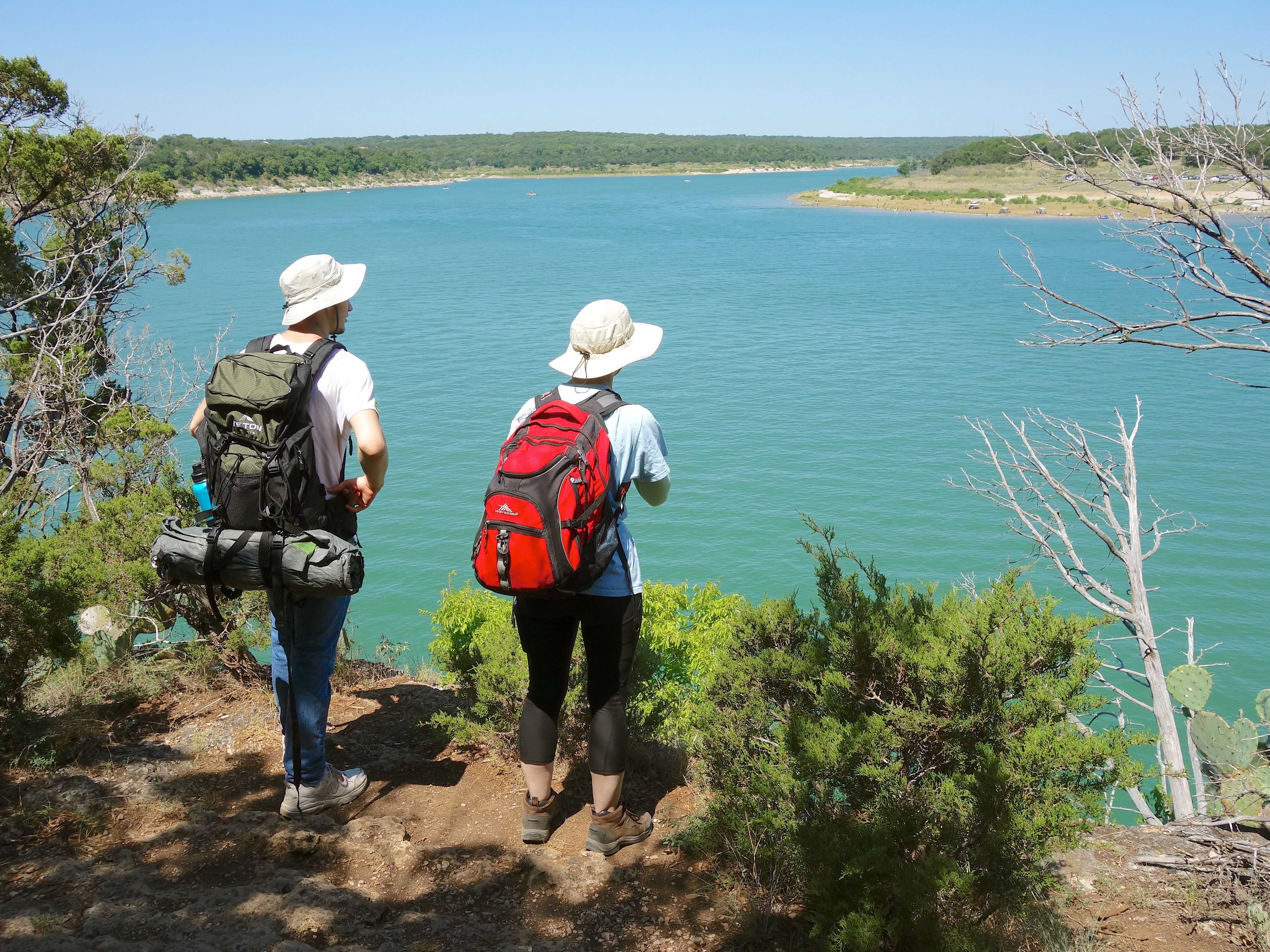
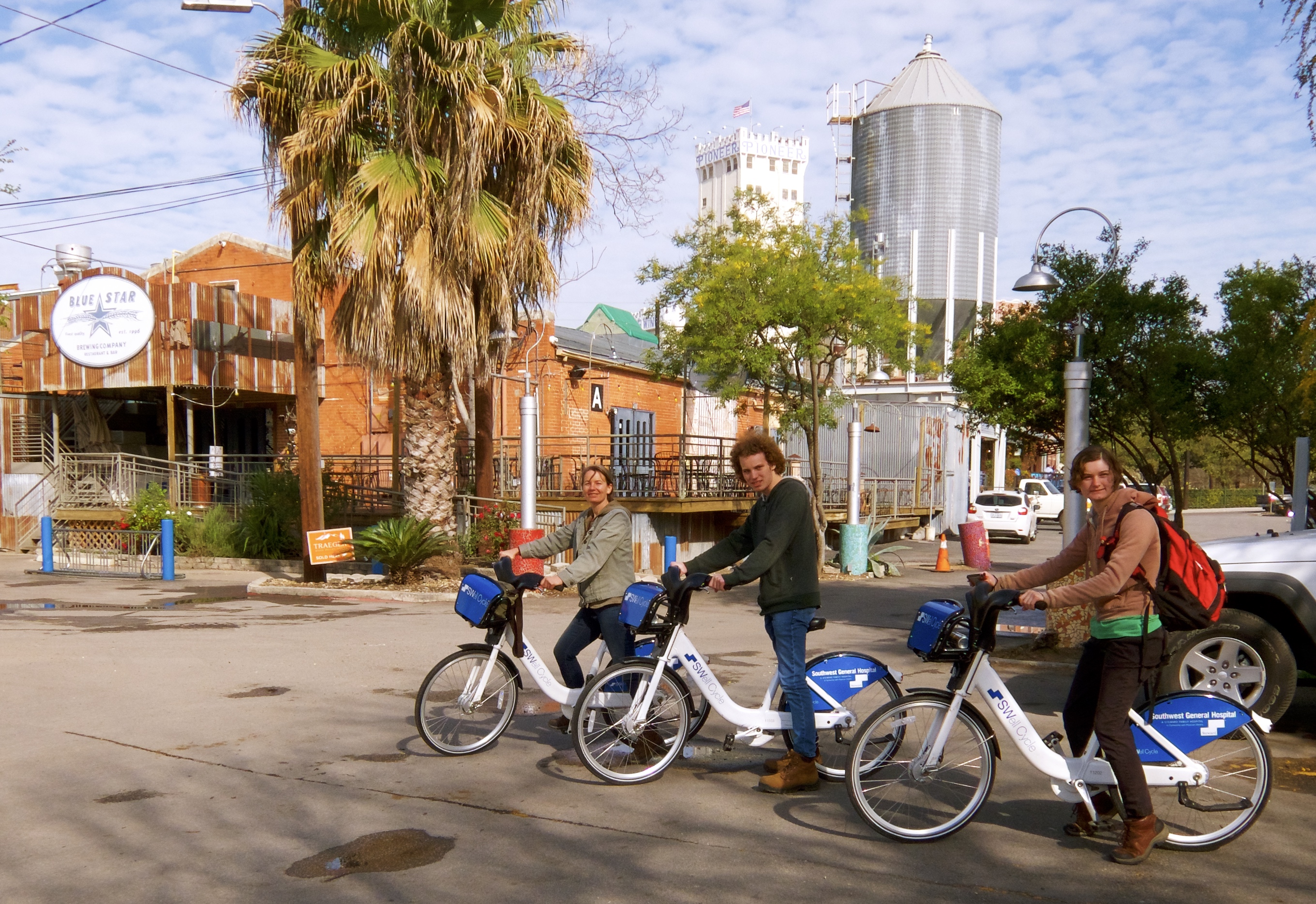
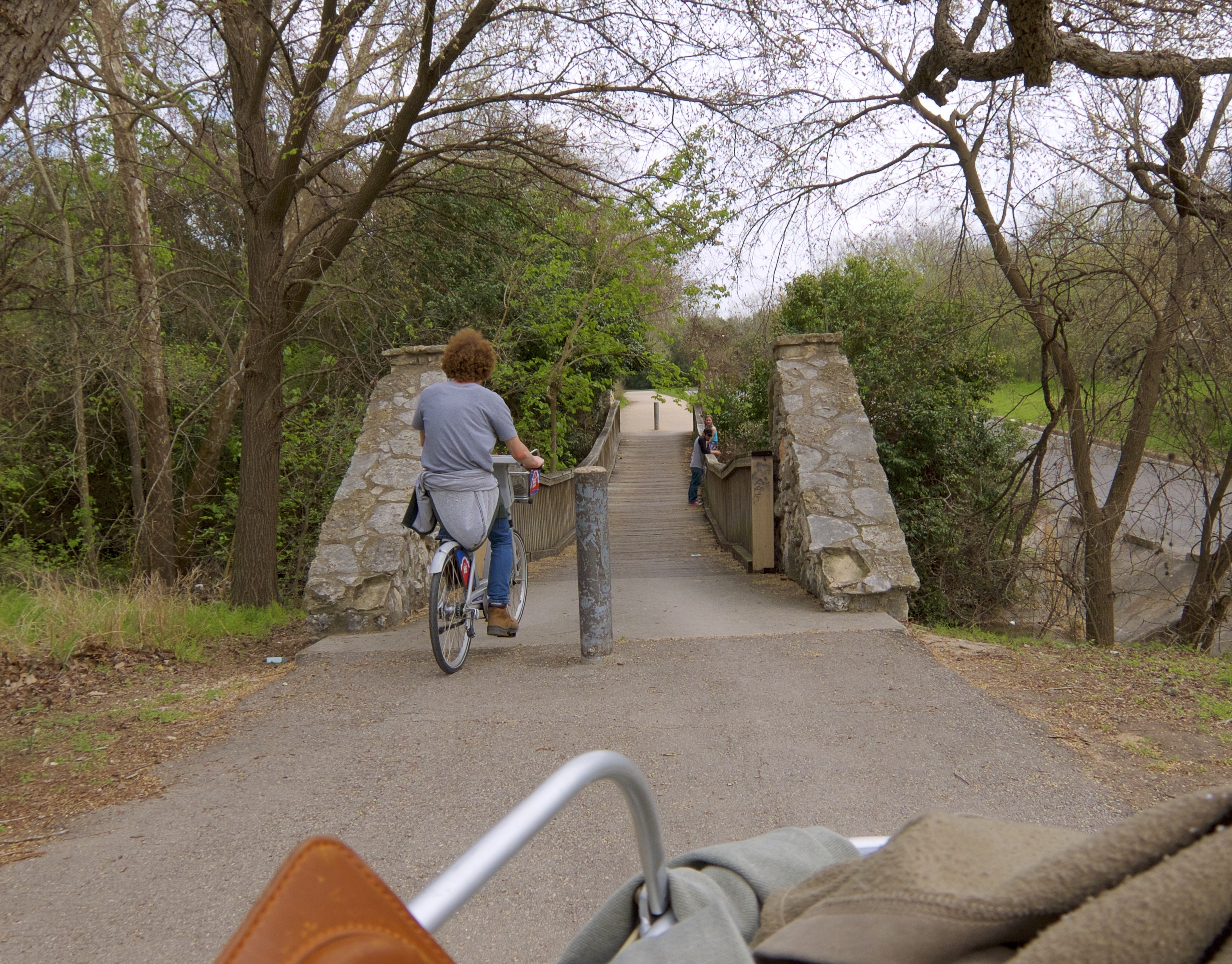
One of the biggest advantages San Antonio has over DFW is public transit. It’s crazy that most of the Metroplex has no public bus system at all. The bike-share programs that are taking hold in Fort Worth, Dallas and parts of Arlington have not yet spread to the smaller mid-city suburbs. This has been incredibly limiting for Luke and Elizabeth, and inconvenient for me since I have to drive them everywhere. So on Day Two we tried out San Antonio’s B-Cycle system and its public VIA transit.

We parked at the Blue Star Arts Complex just south of downtown. I had already downloaded the B-Cycle app and prepaid a 24-hour pass for myself. We bought 24-hour passes for Luke and Elizabeth directly from the kiosk at the Blue Star’s B-Cycle station. The system is simple: each pass buys unlimited use of all B-Cycle bikes and stations for 24 hours, one bike at a time per pass. Each bike has to be docked at a station at least once per hour to avoid extra fees. You can also purchase monthly or yearly passes.

Elizabeth carried that huge backpack around all day, I have no idea why. I don’t even know what was in it.

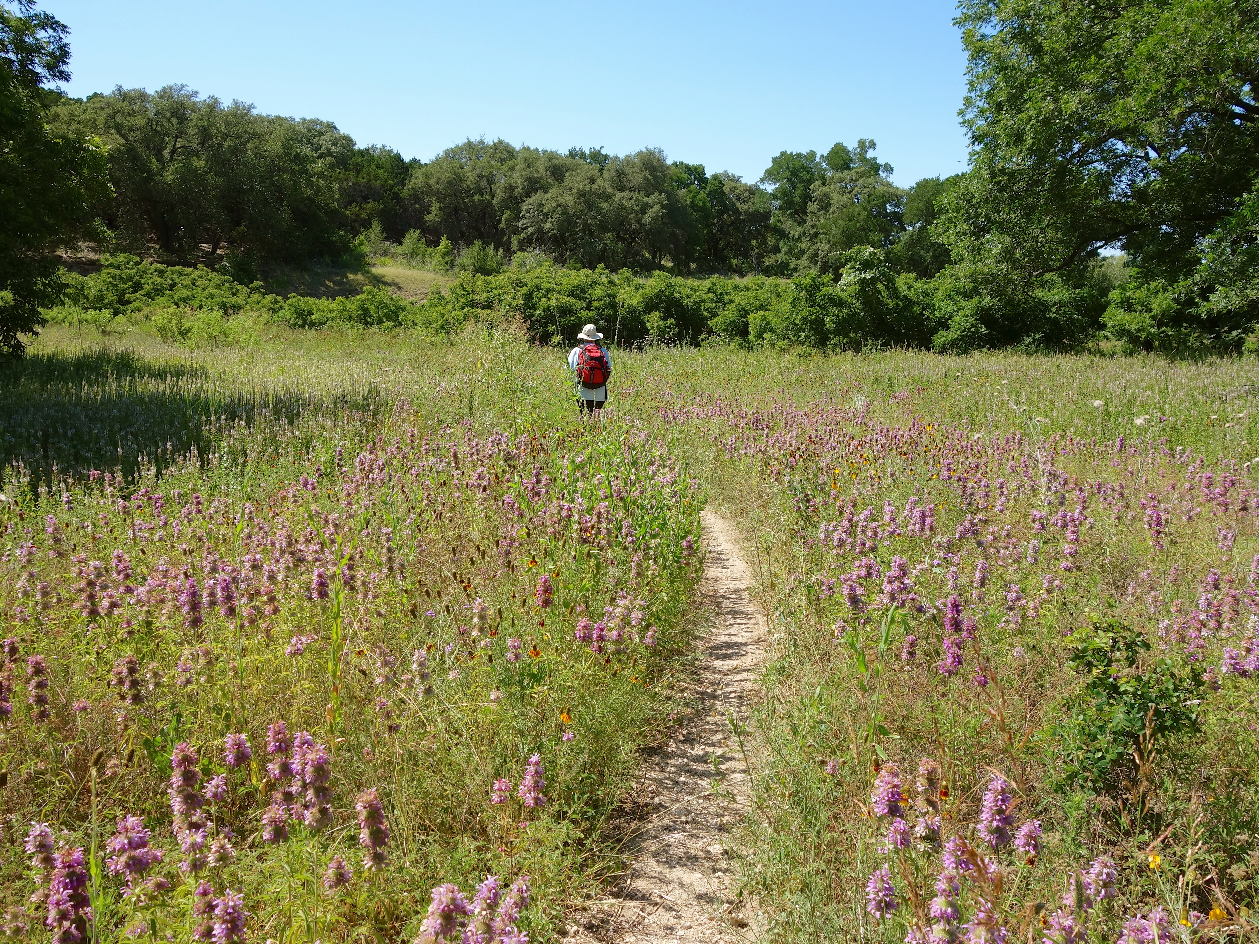
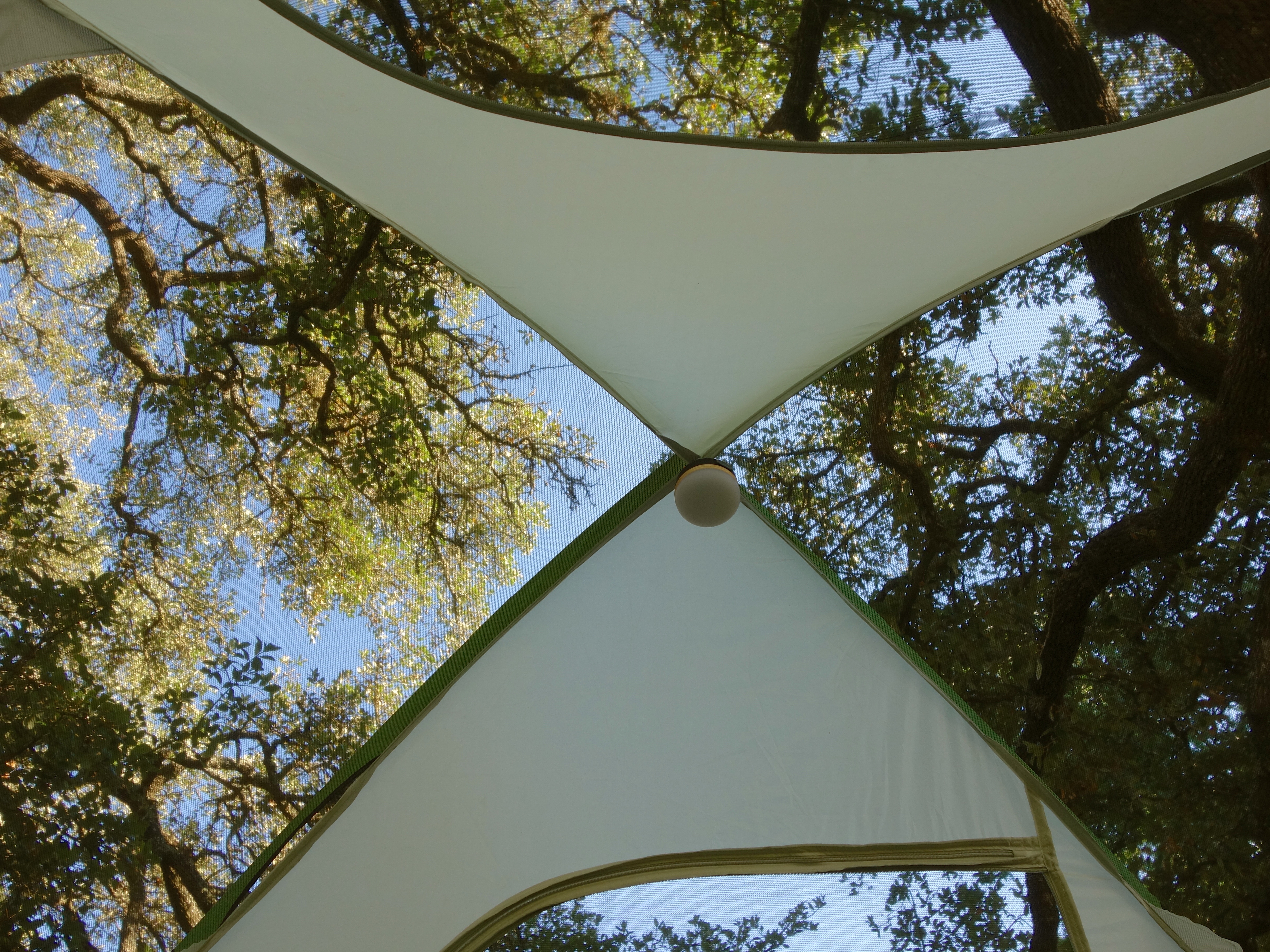
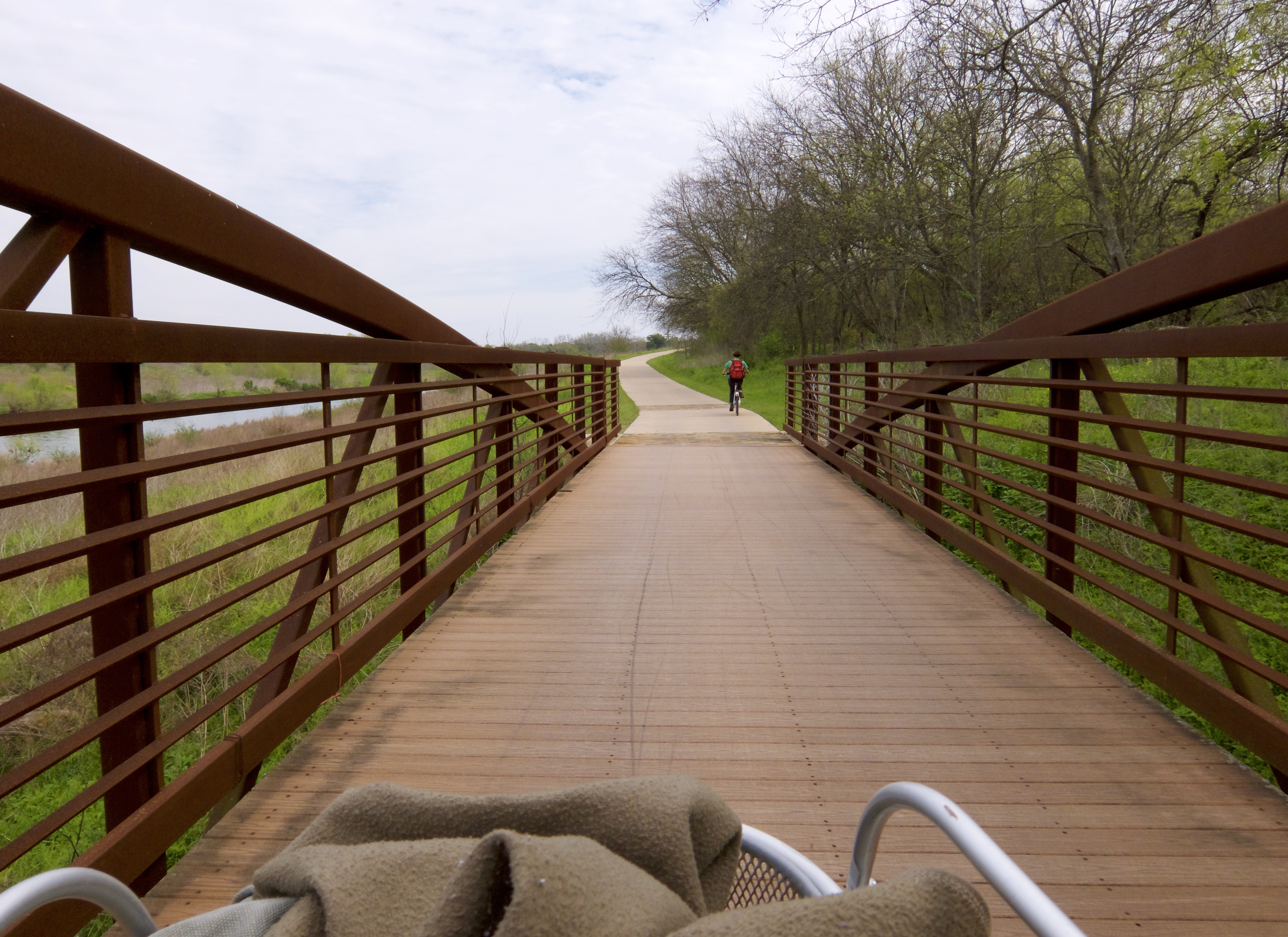
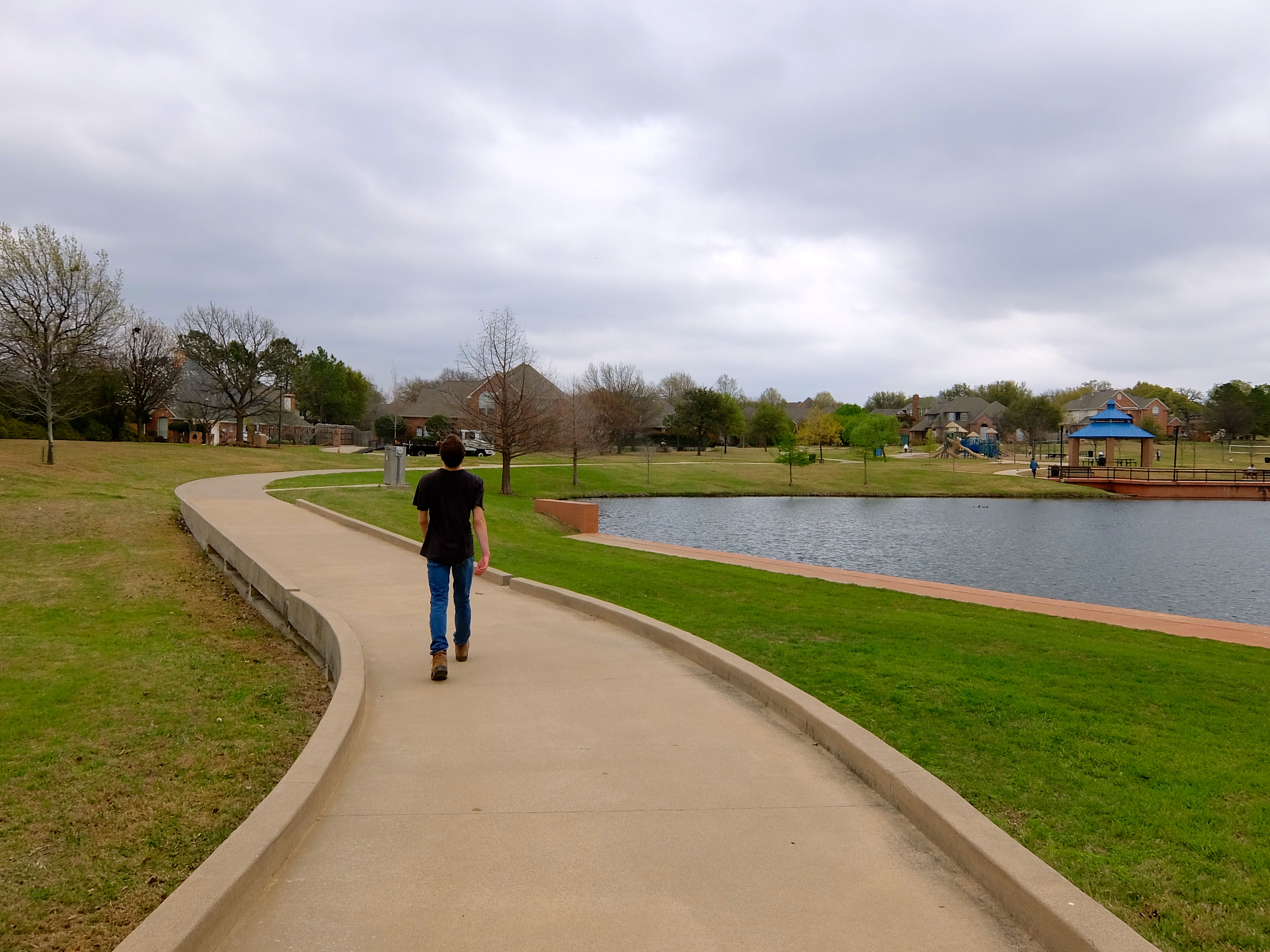
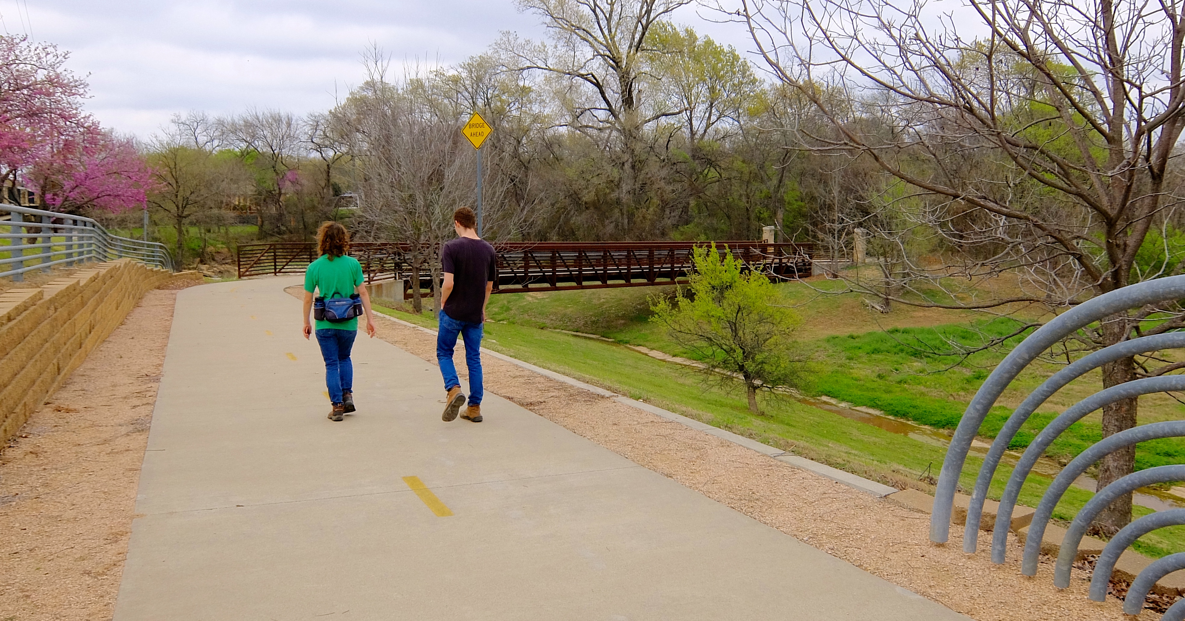
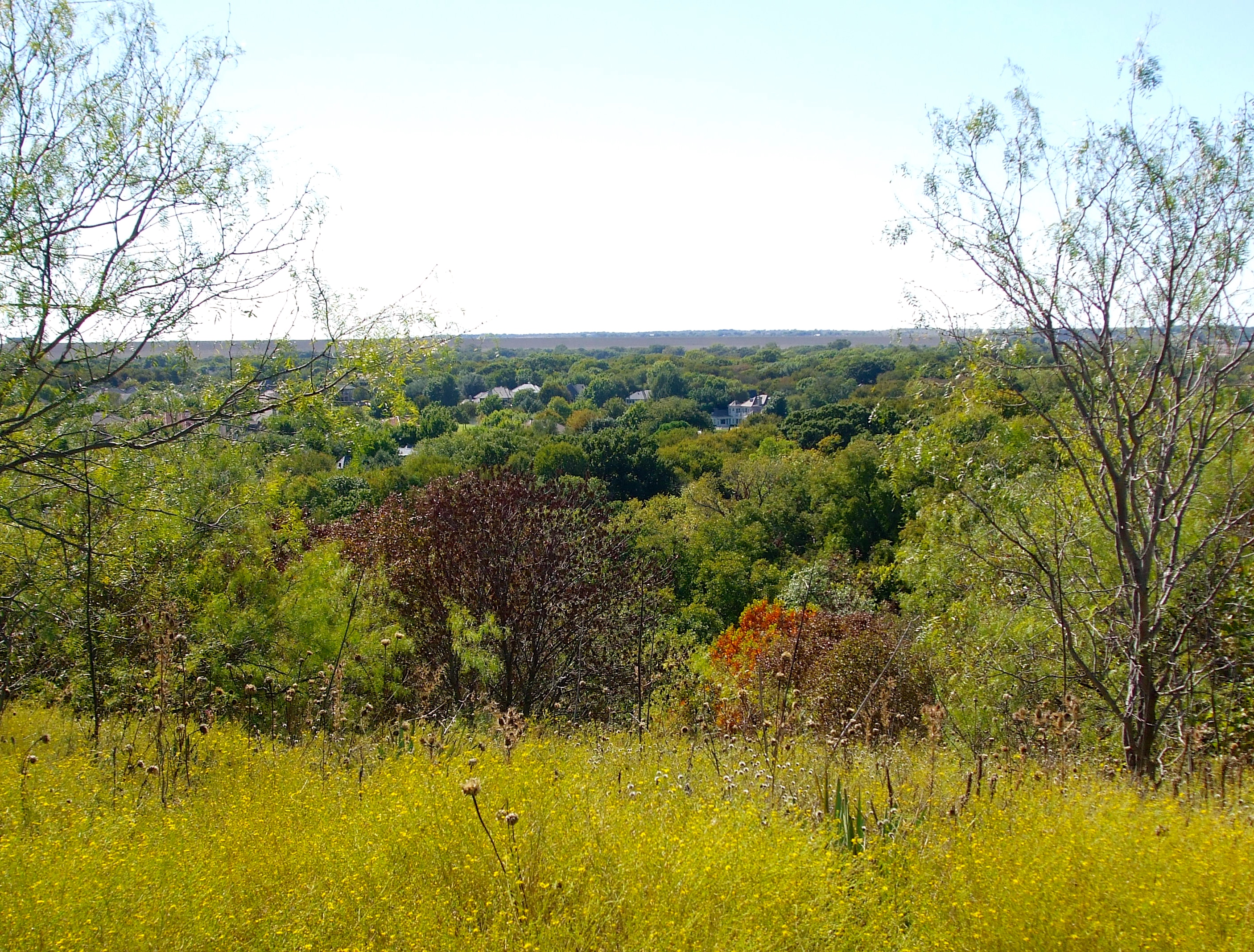
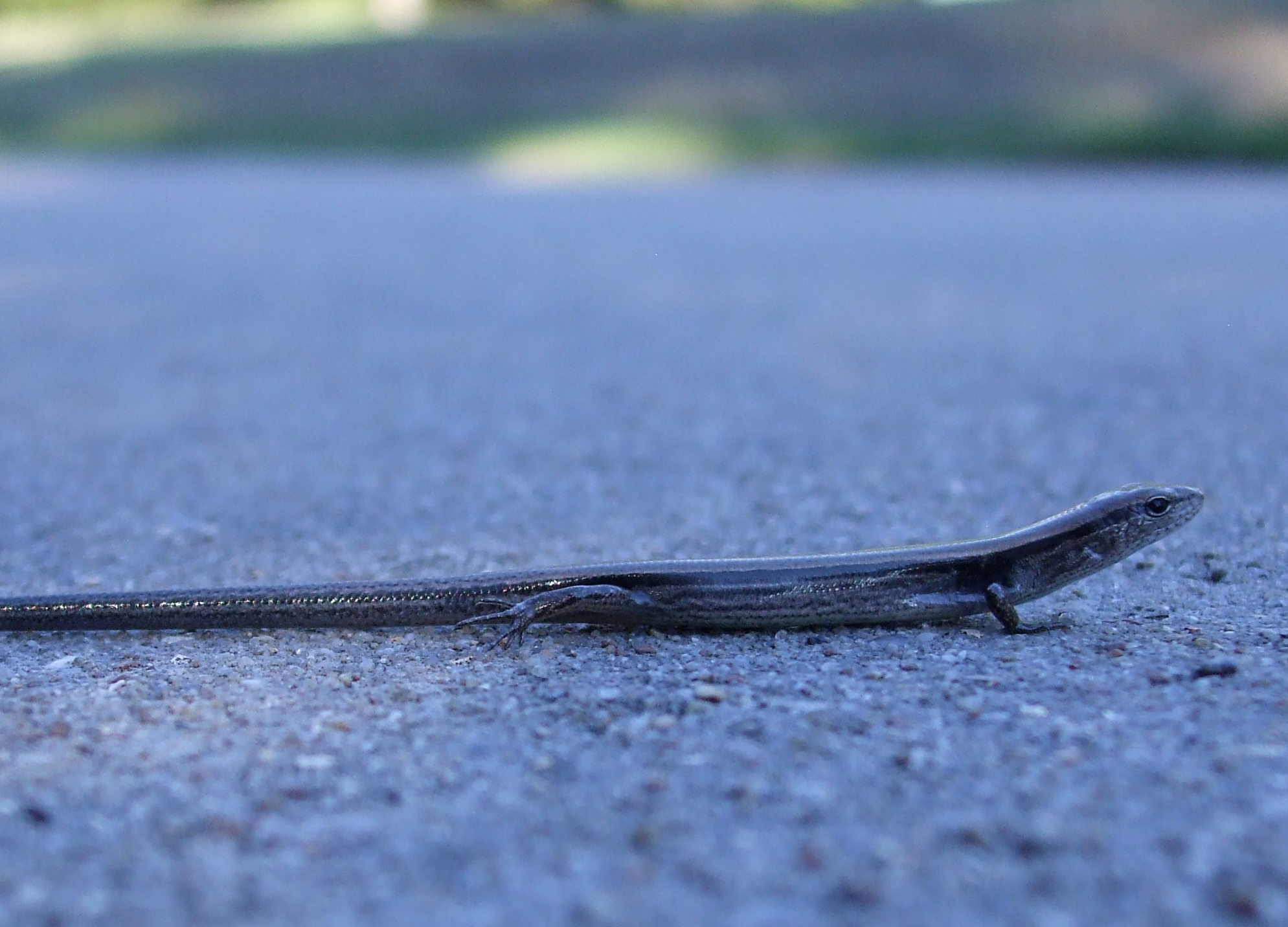
We rode the Hike-and-Bike trail along the river to visit four historic missions. The weather was glorious.

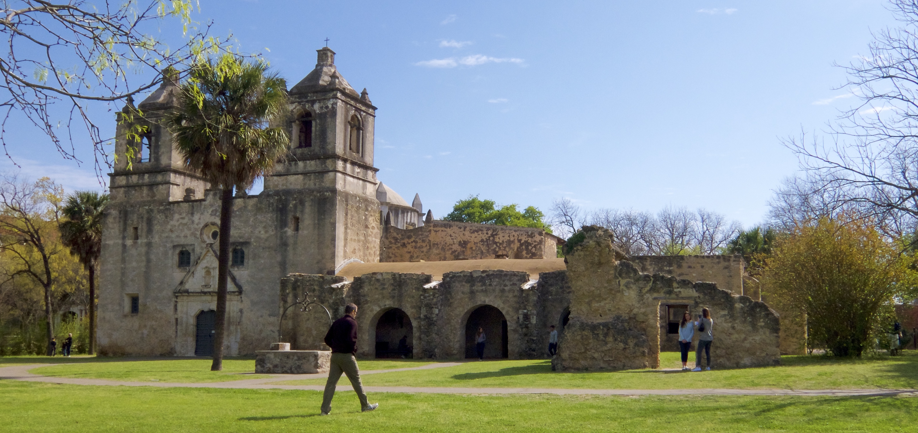
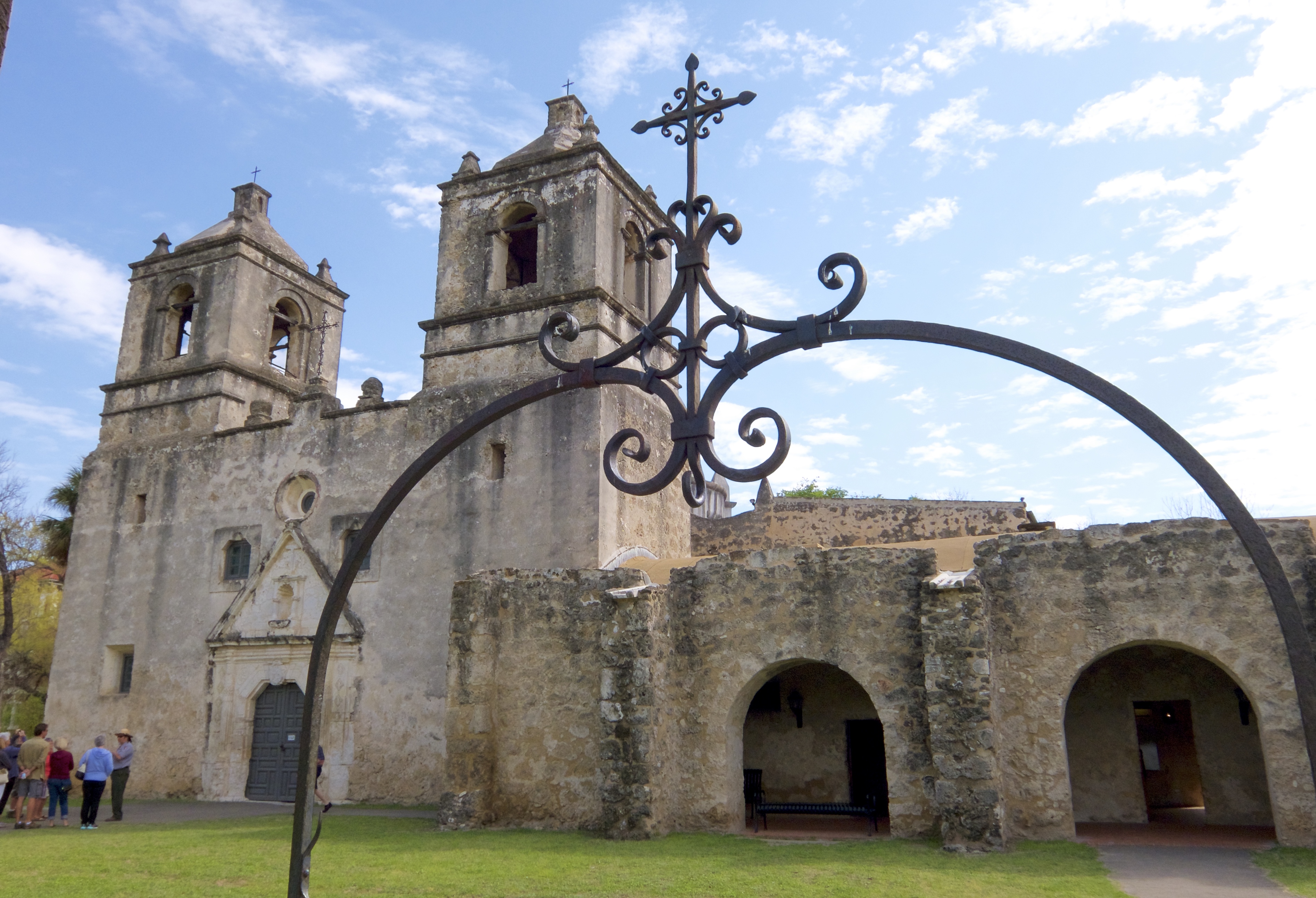
Mission Concepción, founded by Franciscan friars in 1731, is first on the trail. One of the first major battles of the Texas Revolution took place here in 1835.

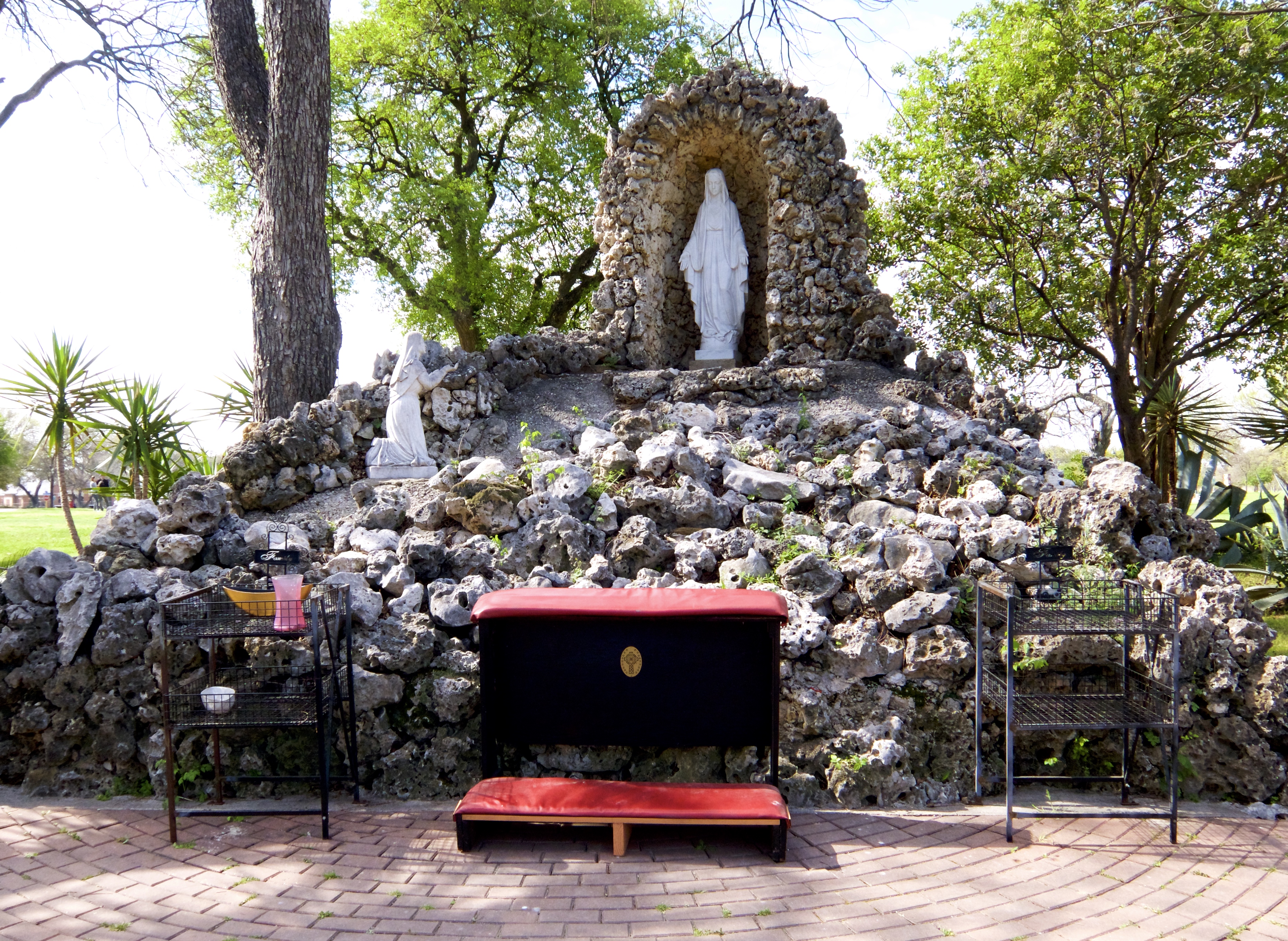
We found a shrine on the mission grounds and I thought, “That’s a weird place to put a shoeshine stand,” and then I realized that I’m an idiot.

Mass is still held in the mission on Sundays. I didn’t take any photos inside the church itself because I didn’t want to seem disrespectful.

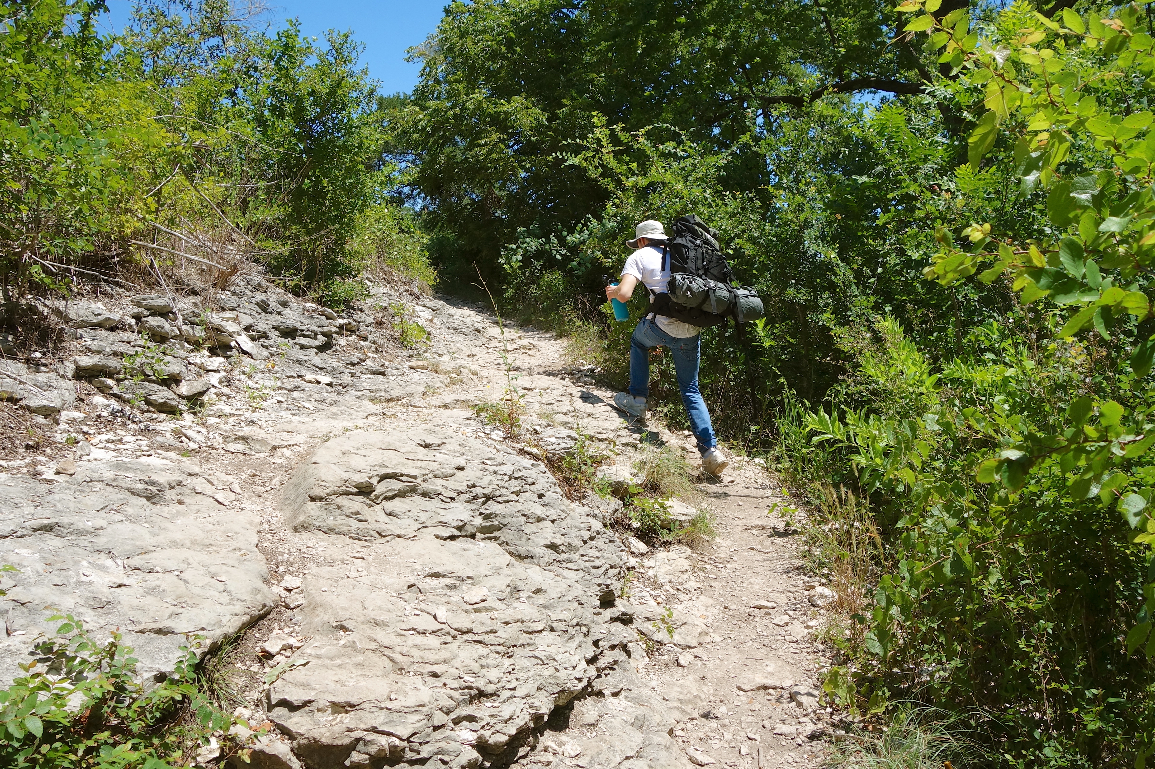
Luke’s philosophy is “Why walk when you can run?” It’s like there’s too much world he wants to see to waste time getting there slowly.

We had docked our bikes at the B-Cycle station in Mission Concepción Park, not realizing that it was a 15-minute walk from the park to the mission itself. Luckily there is another station just outside the mission, so we didn’t have to walk back to get our bikes.

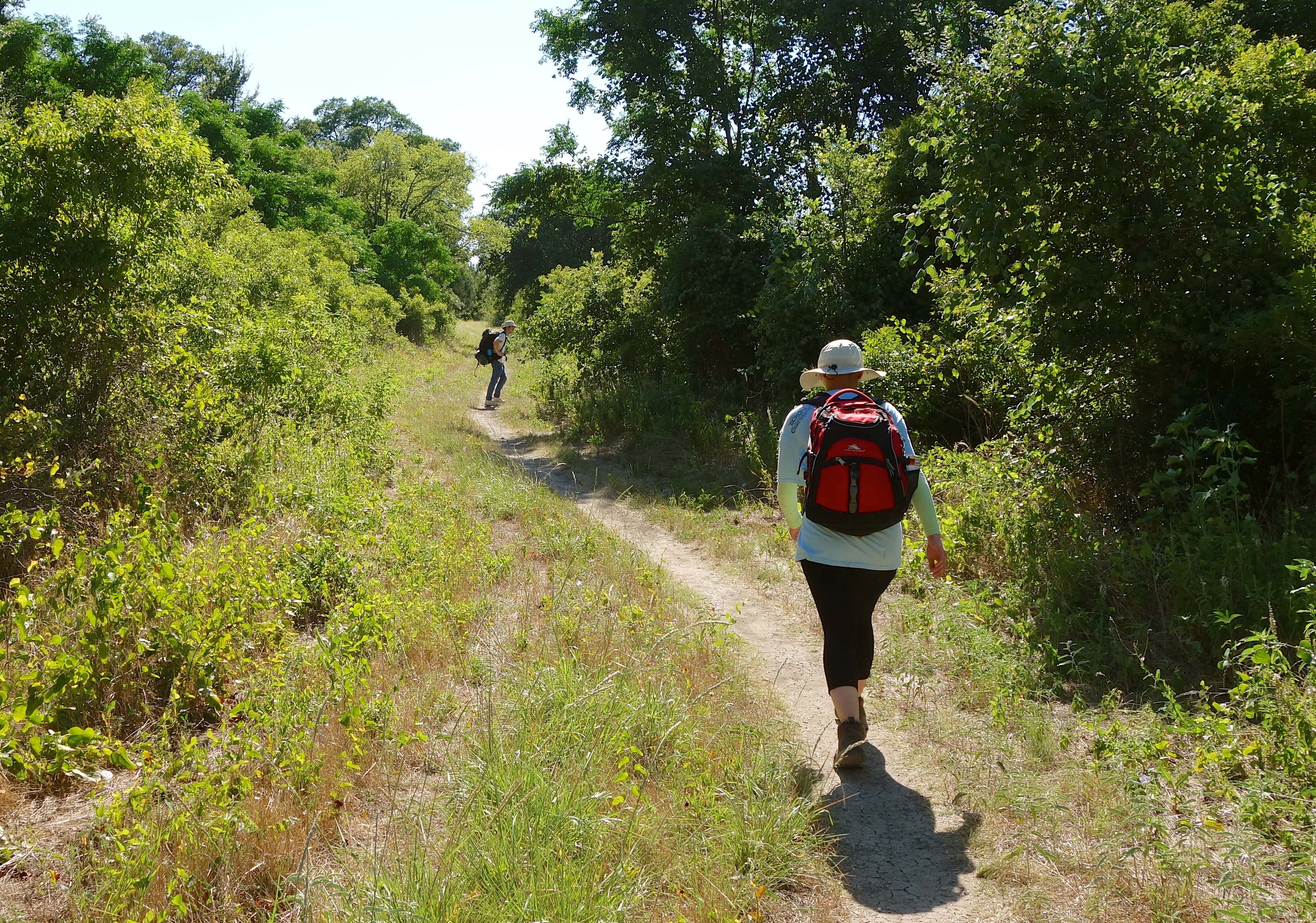
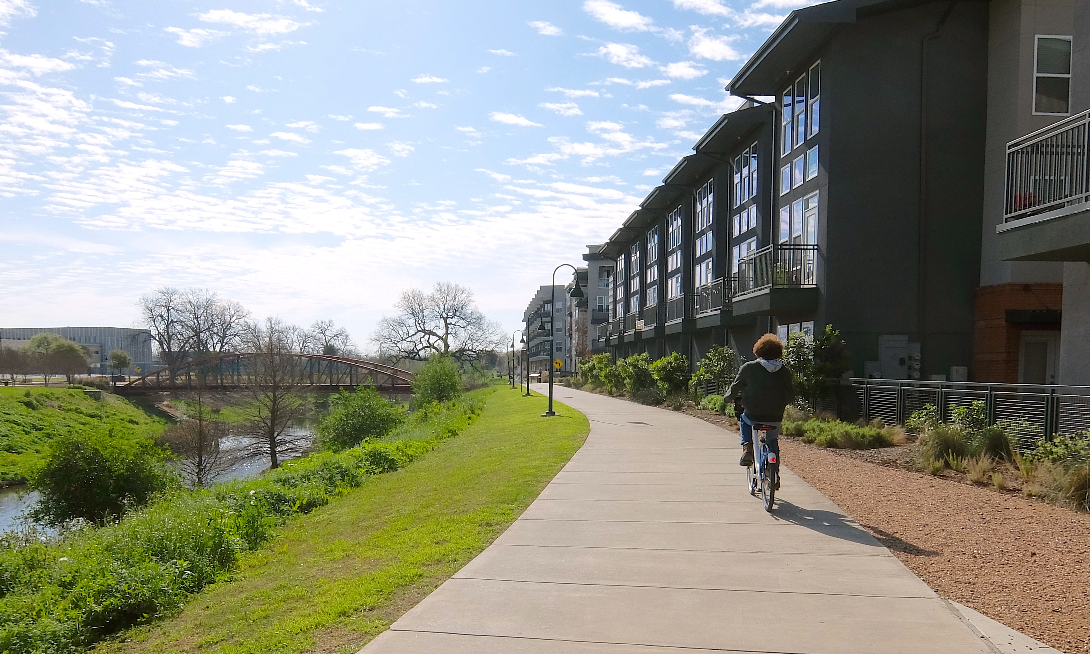
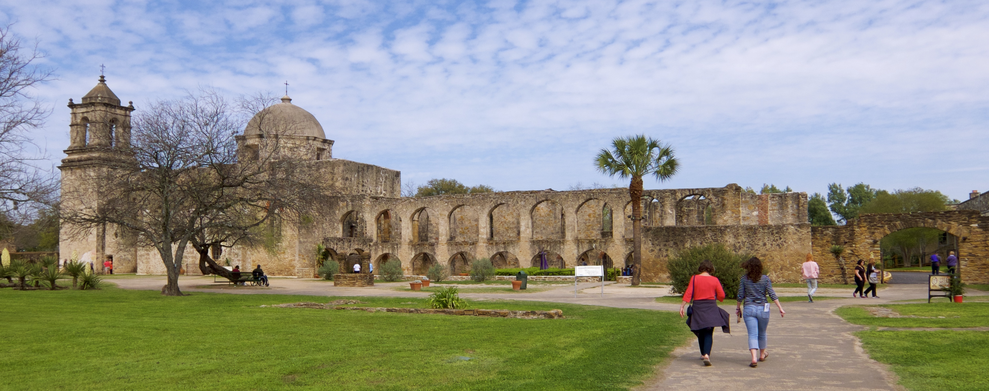
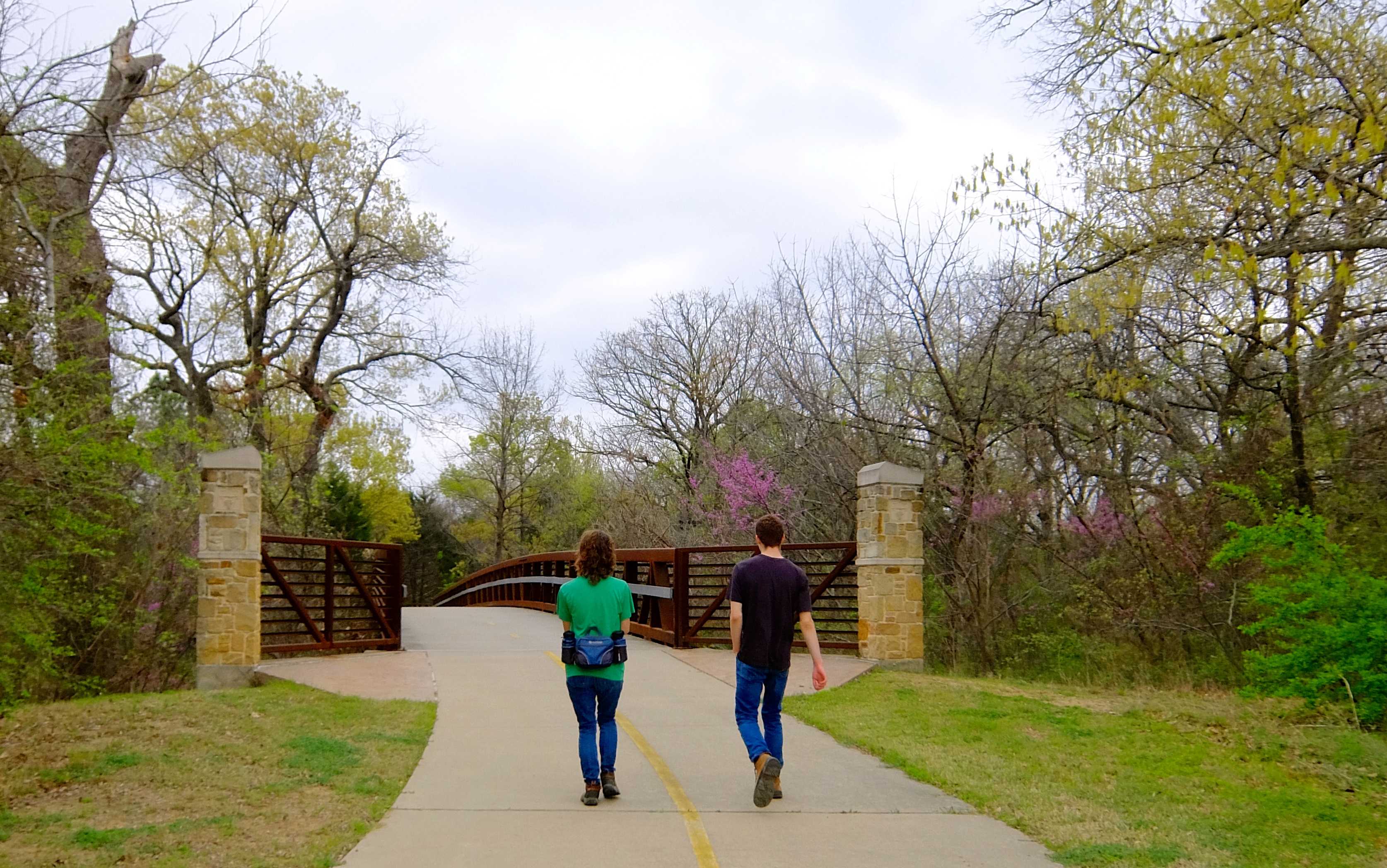
We took the bike lane on Mission Rd until it reconnected with the river trail, then followed the signs to Mission San José.

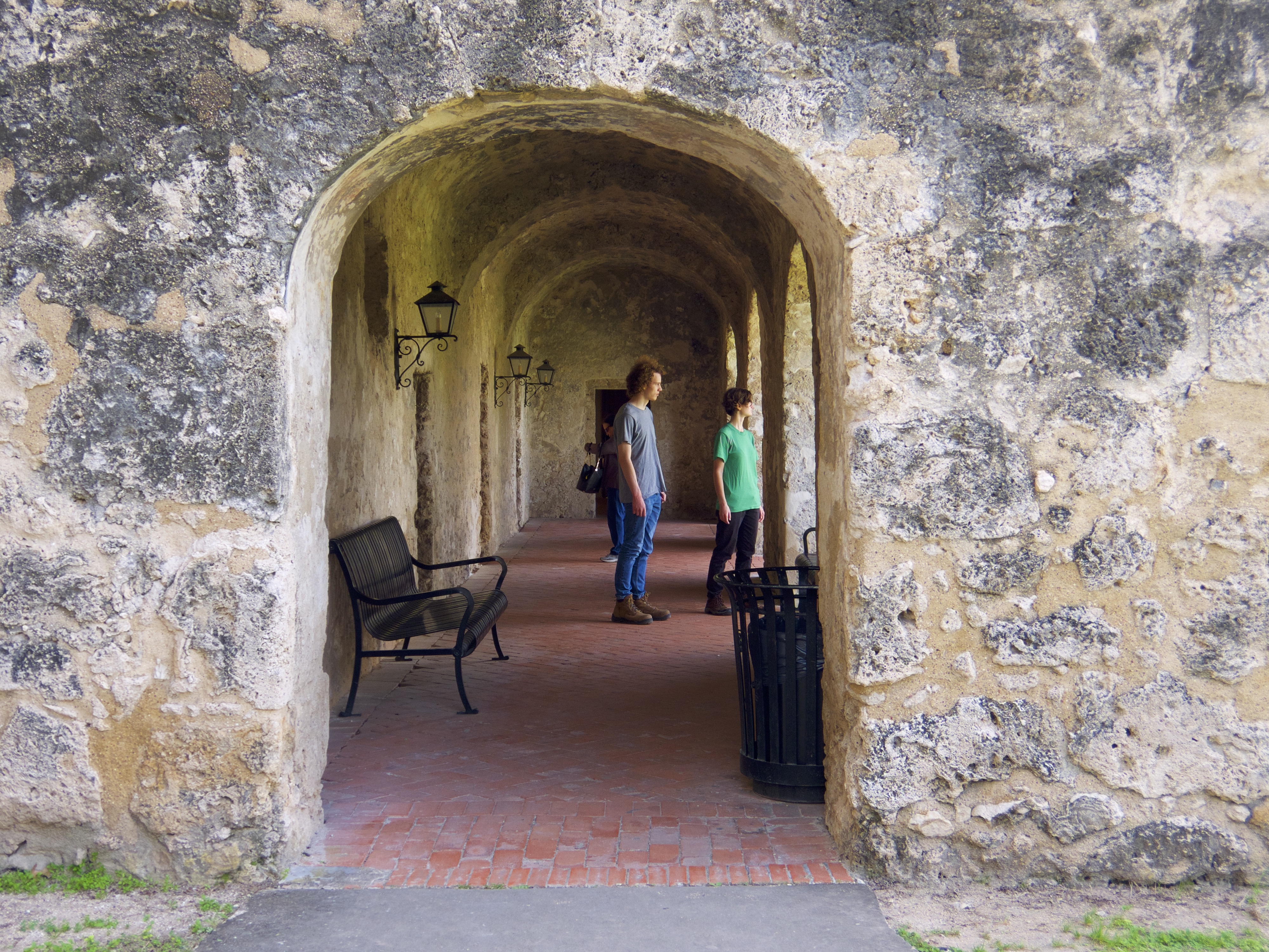
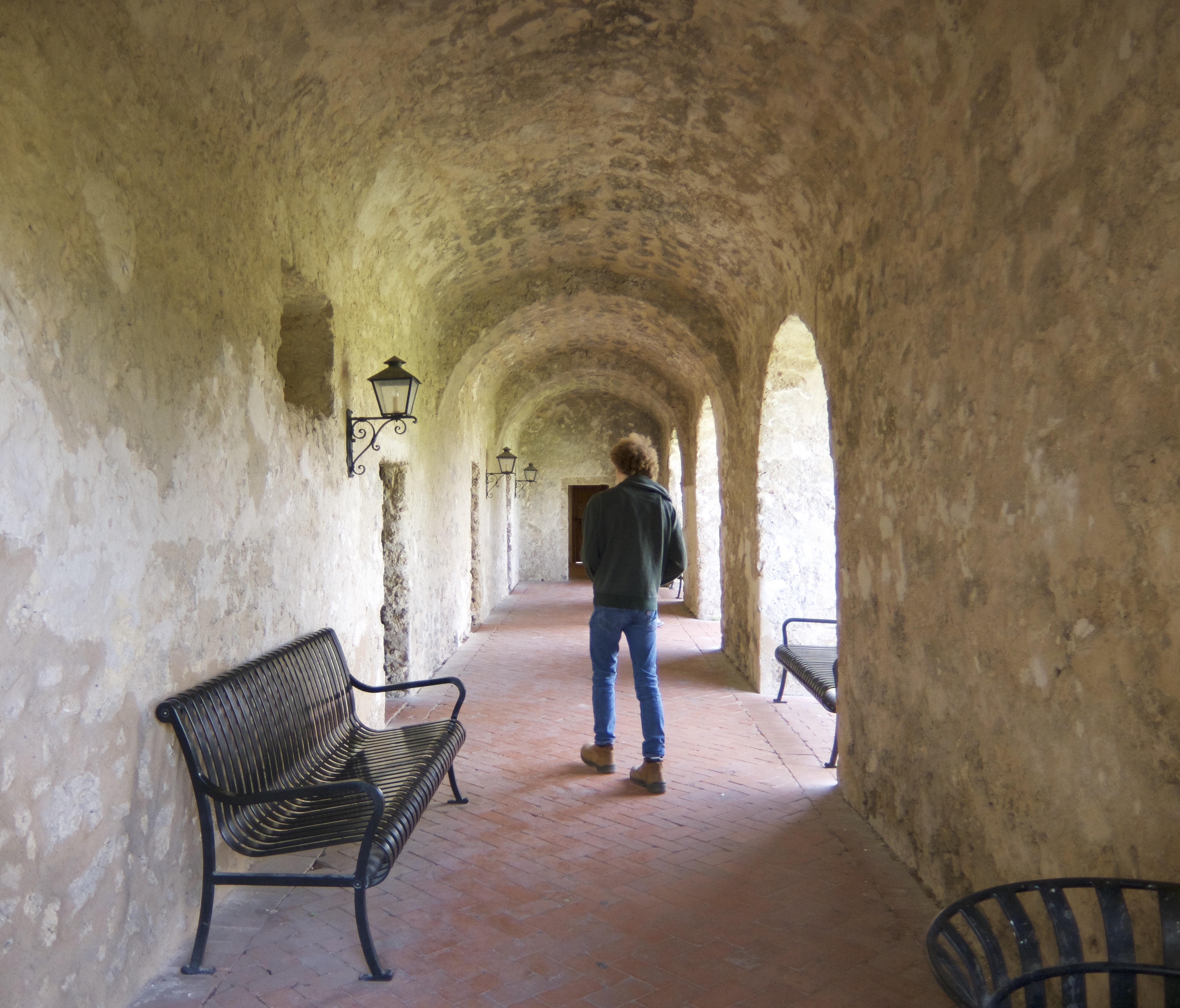
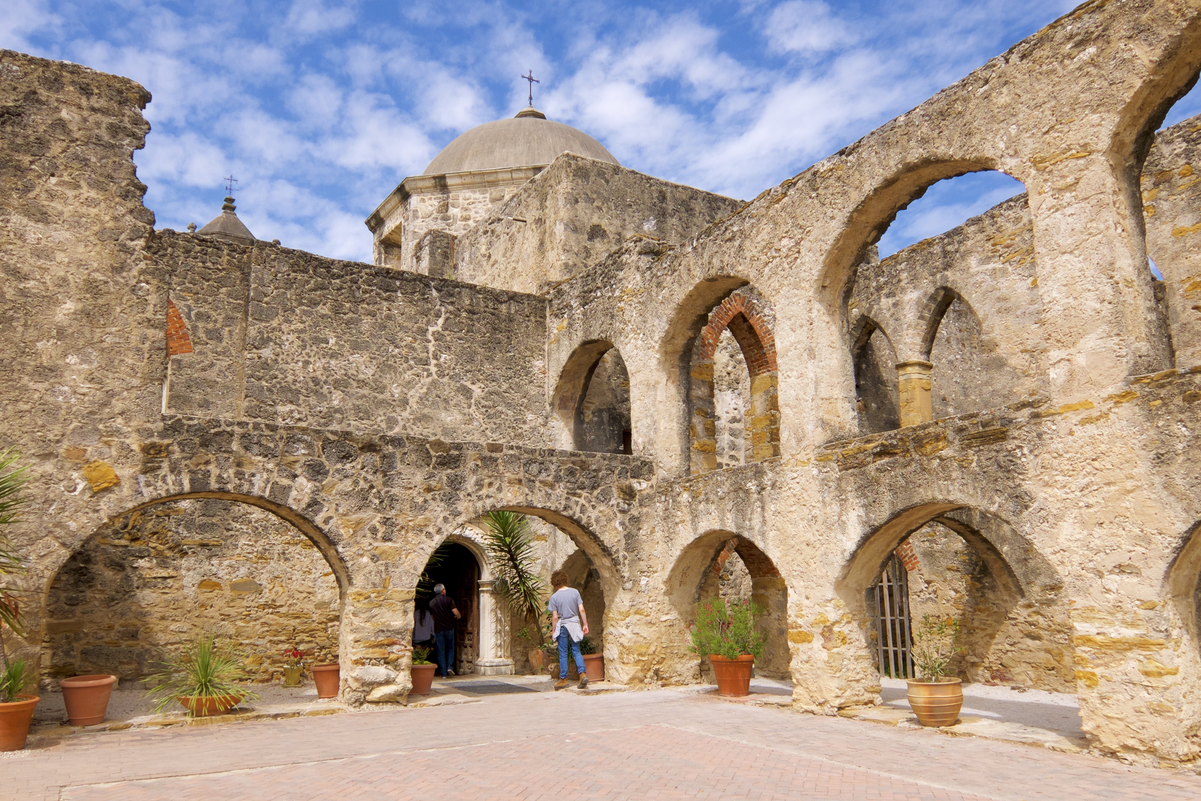
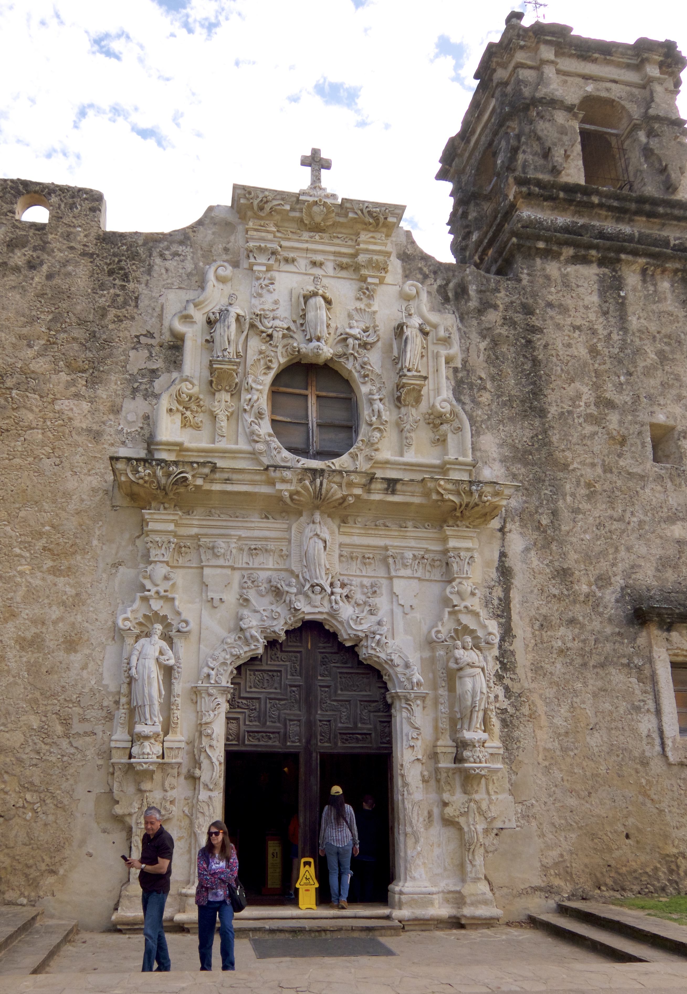
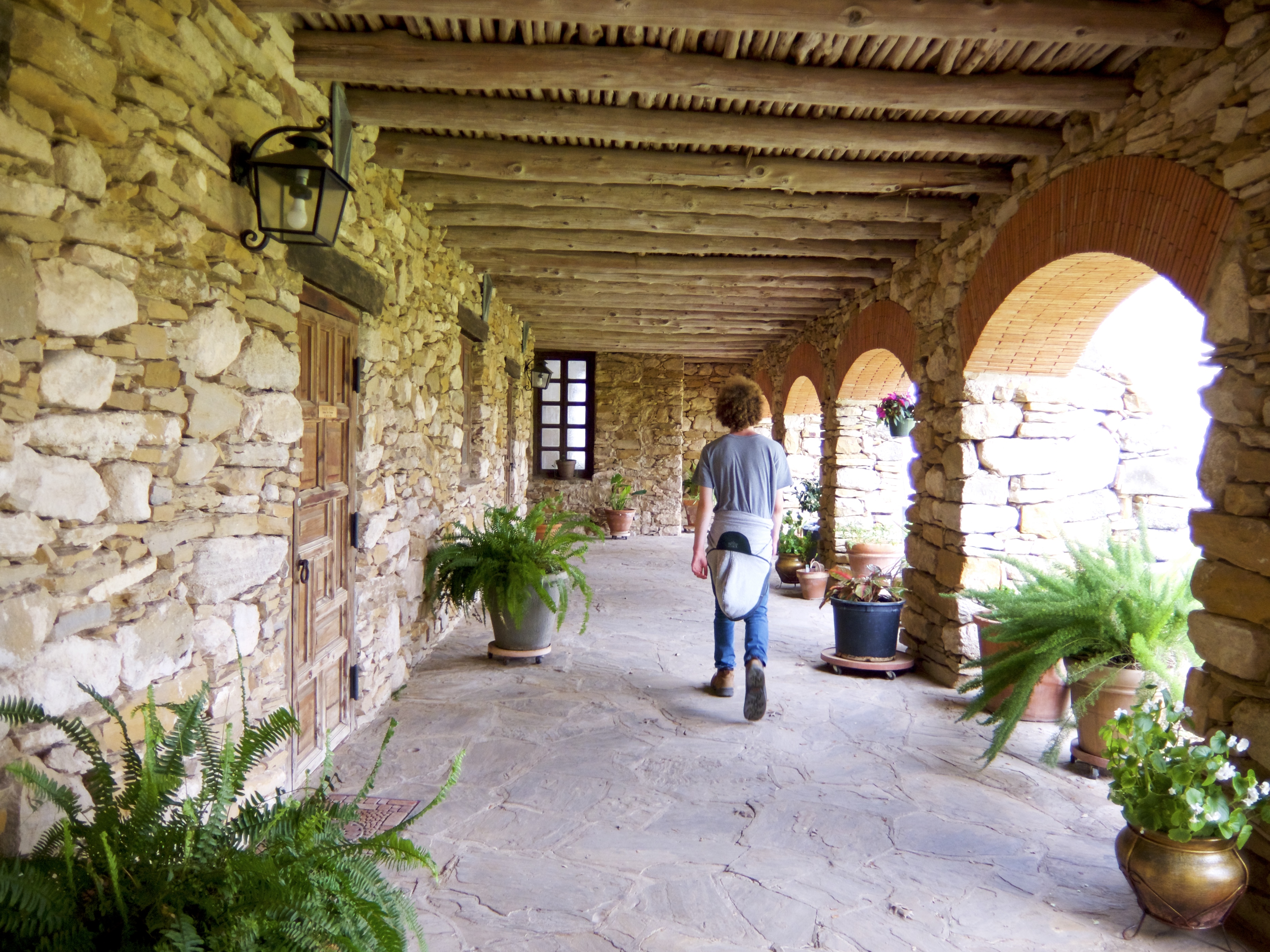
This is my favorite of the four missions. It was founded in 1720 and is still an active parish with a beautiful little church.

The church entrance:


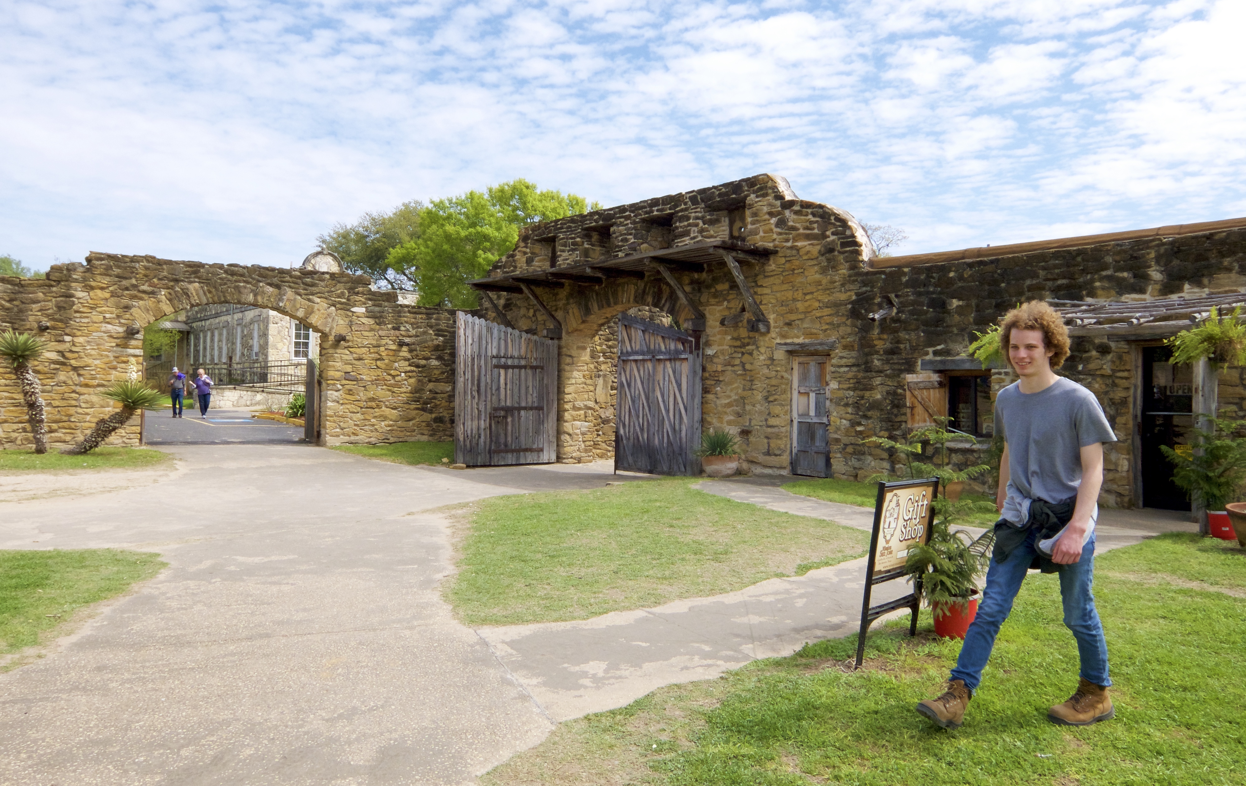
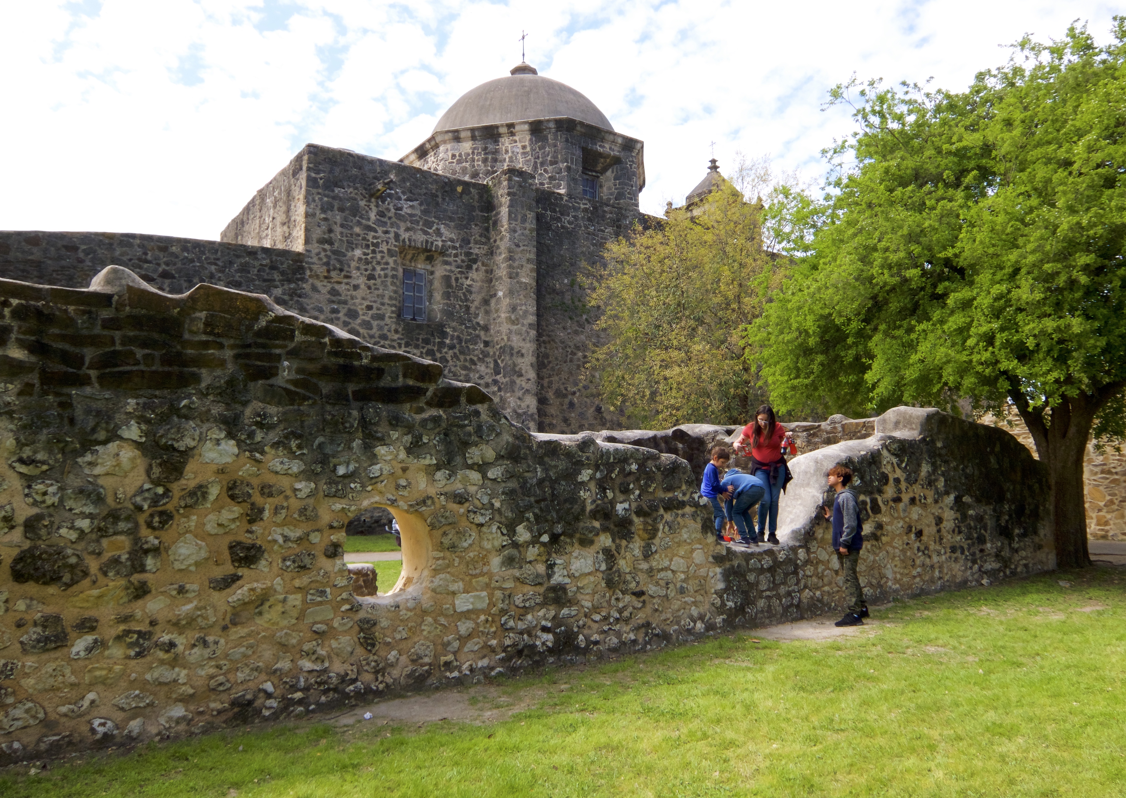
We hit our first snag with the B-Cycle system when we were ready to leave Mission San José. Only four bikes were docked at the Mission station and two had flat tires. Not a catastrophe: it was an easy 15-minute walk to another B-Cycle station at Padre Park. But that station was having some sort of connectivity issues; we spent close to half an hour coaxing three bikes out of it.

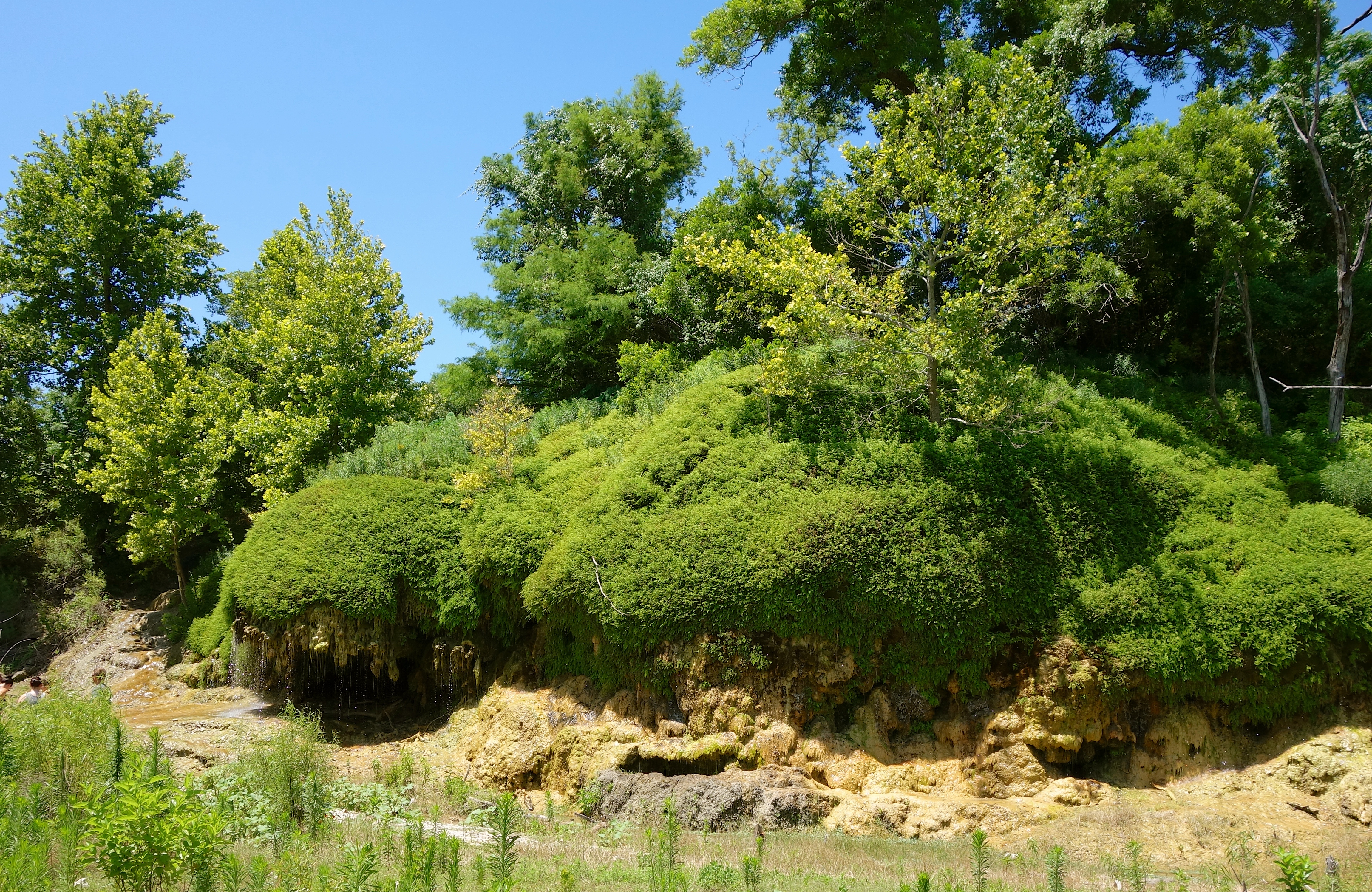
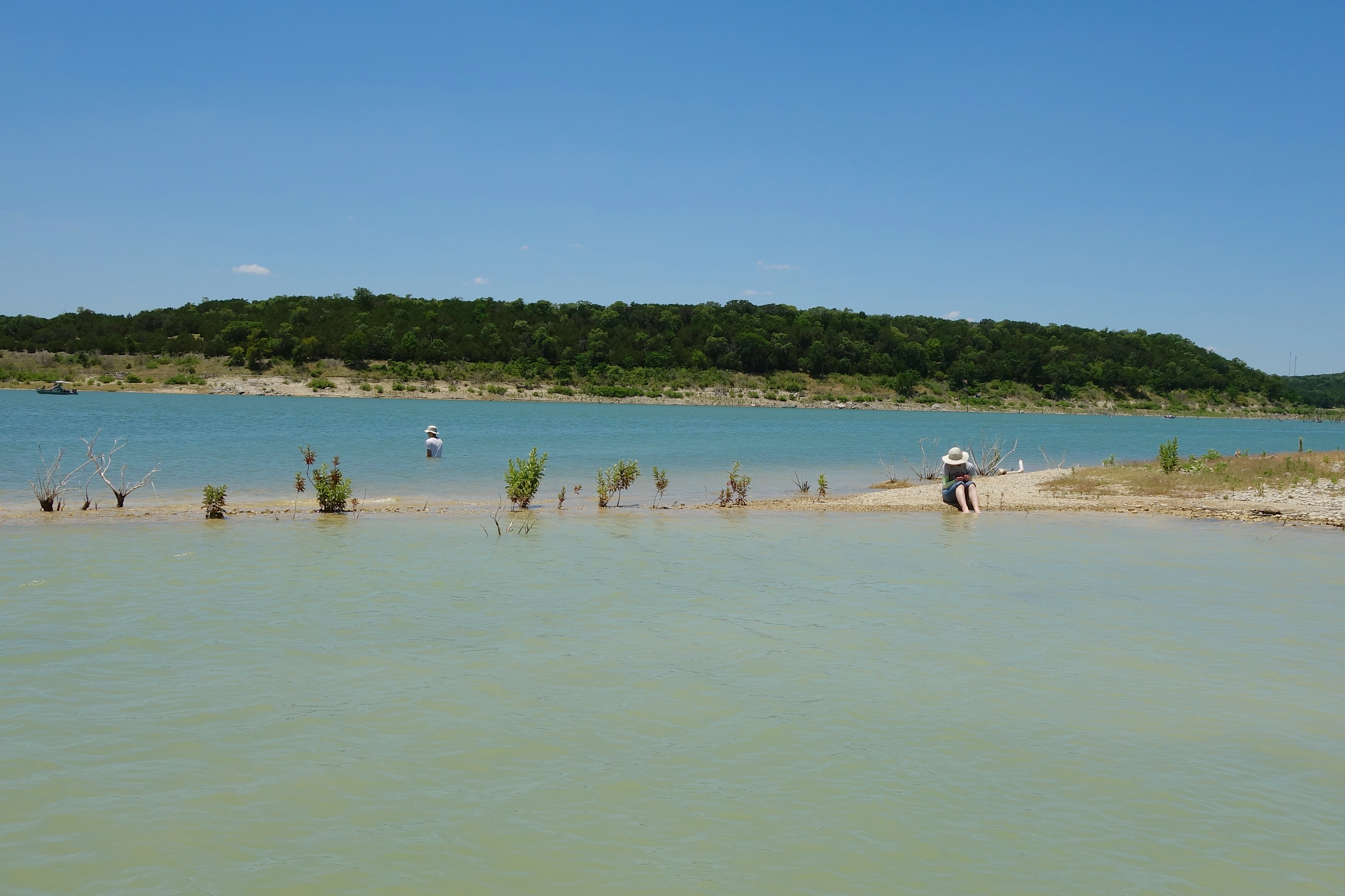
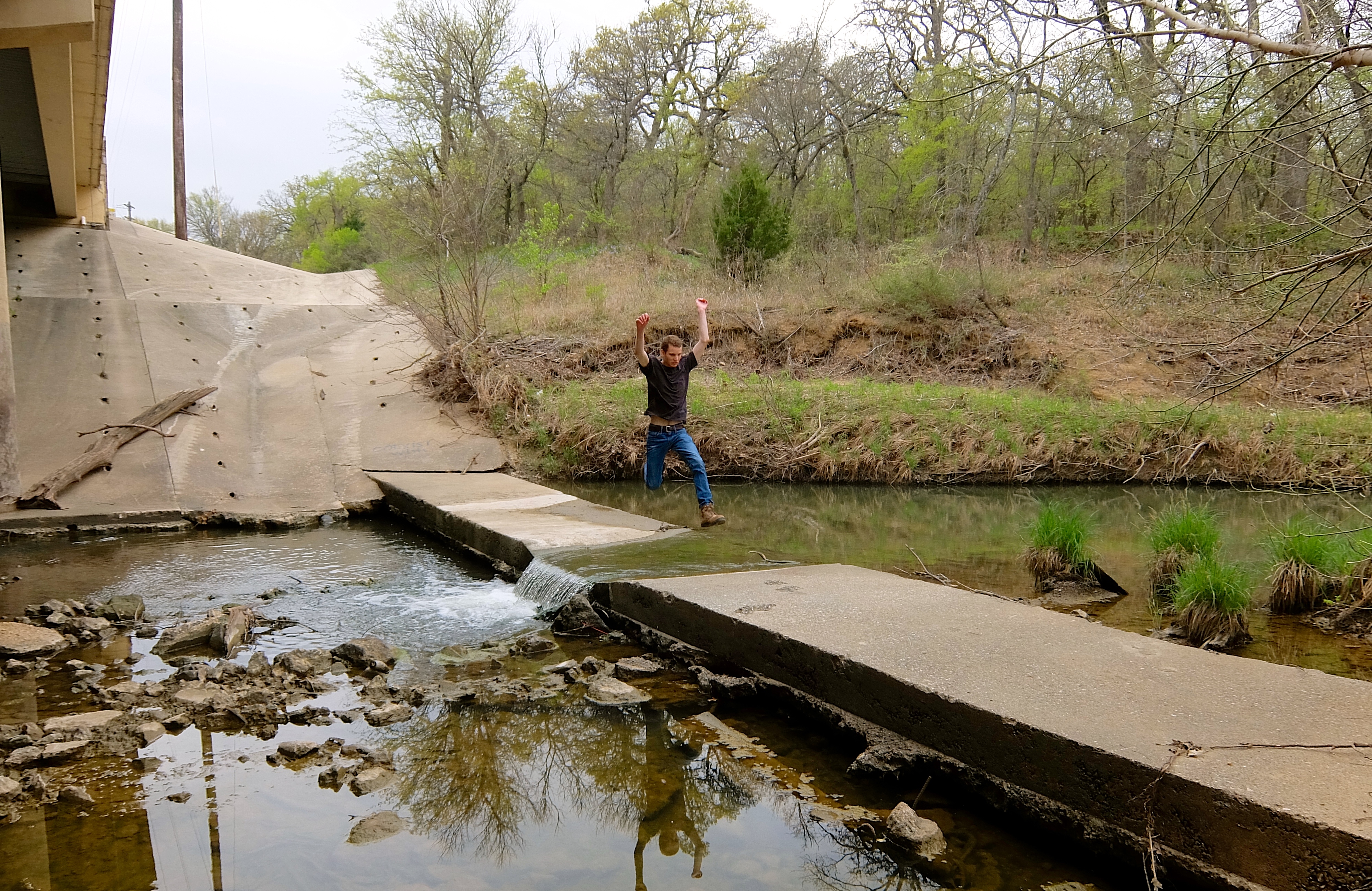
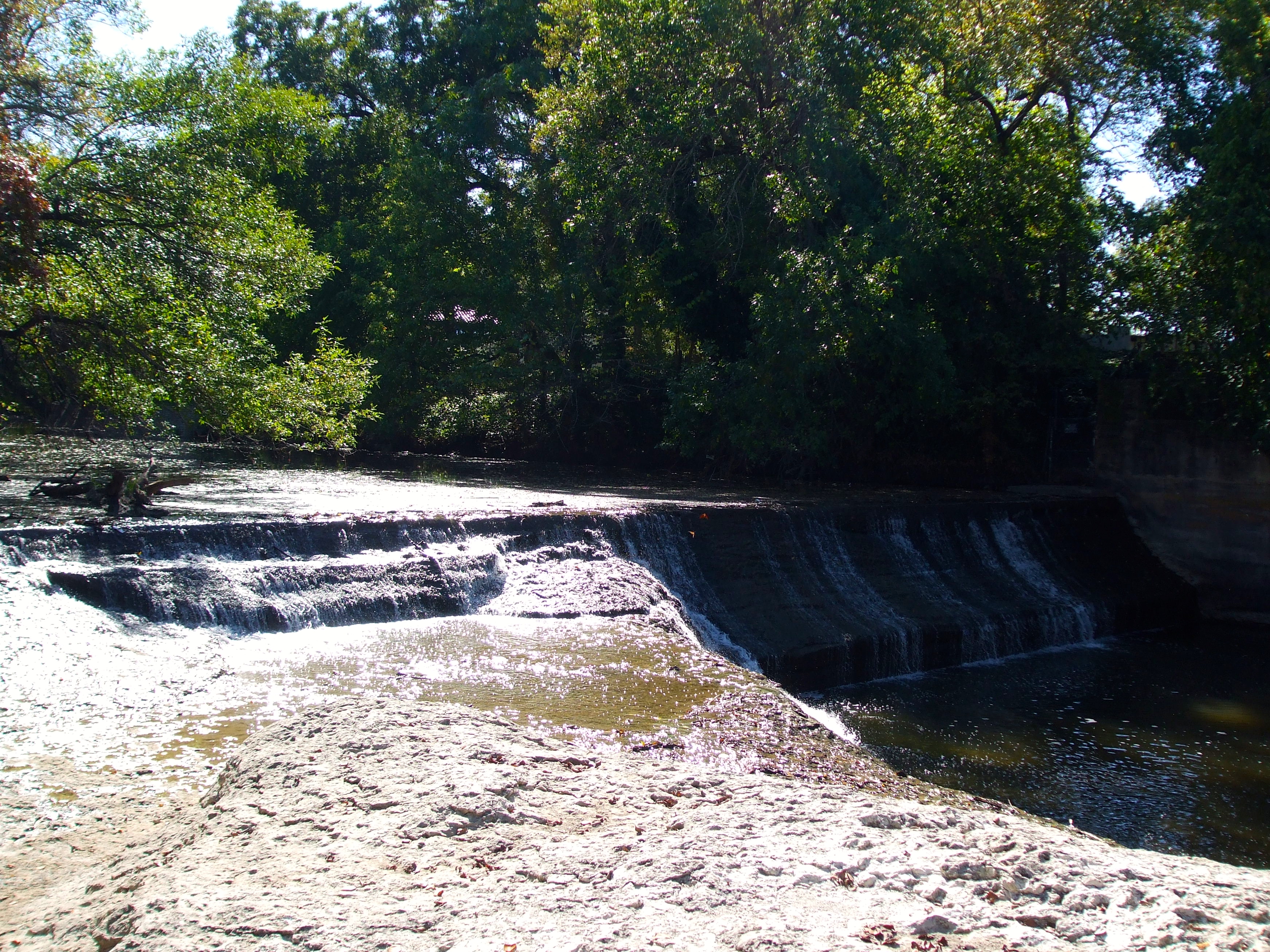
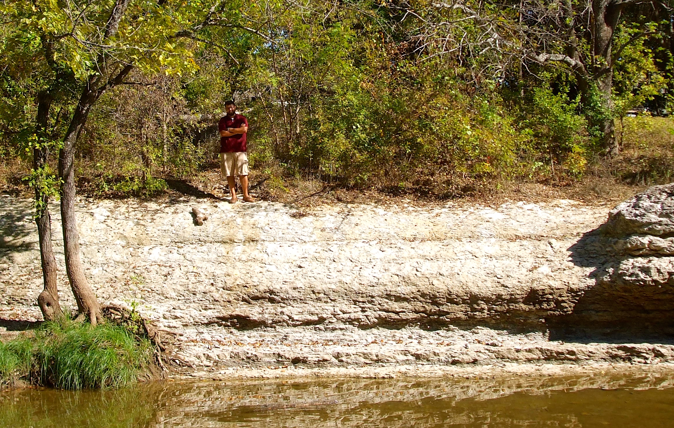
At least the view was nice. We got to watch kayaks going down a river chute from the shady comfort of our pavilion.

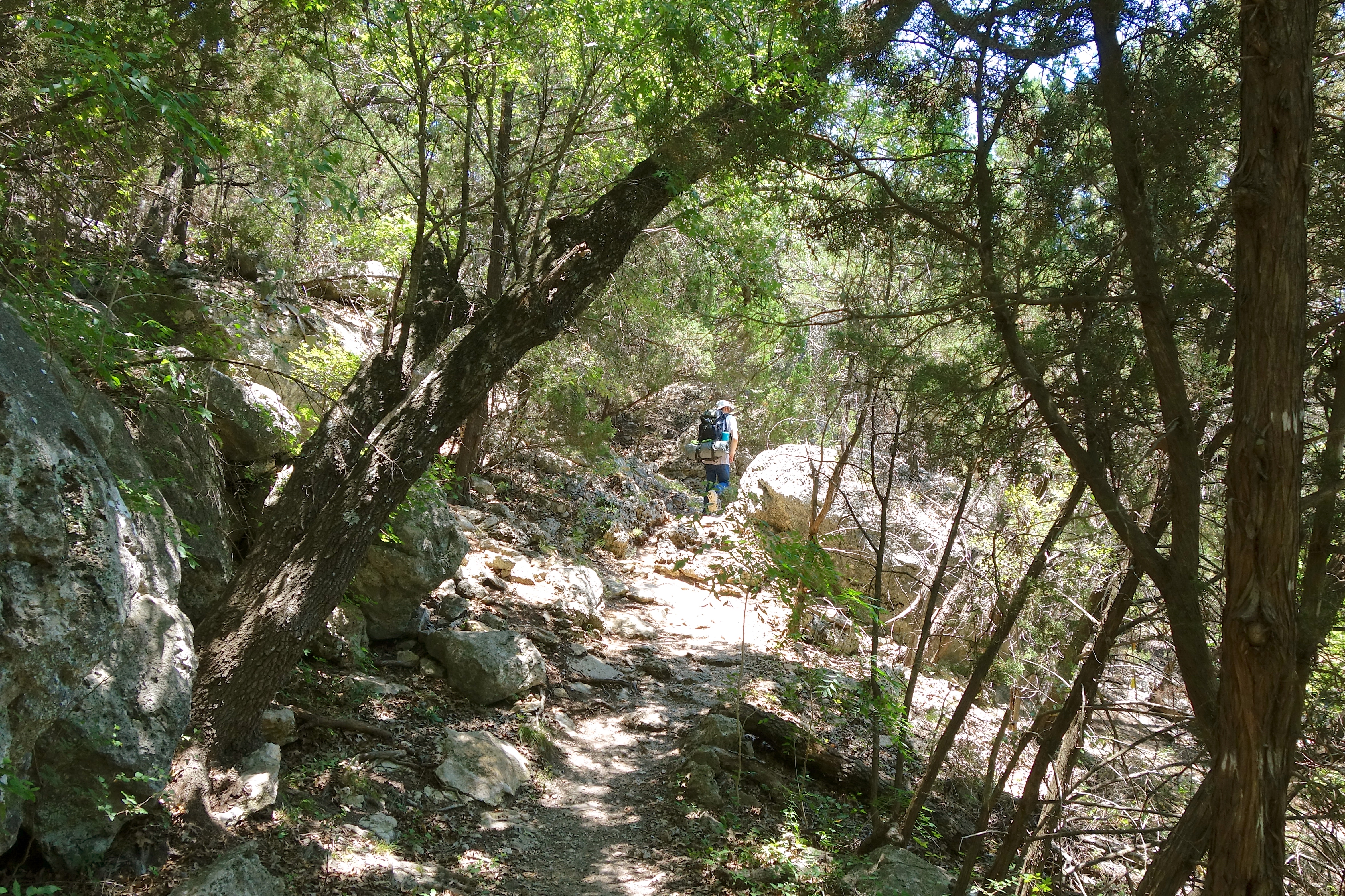
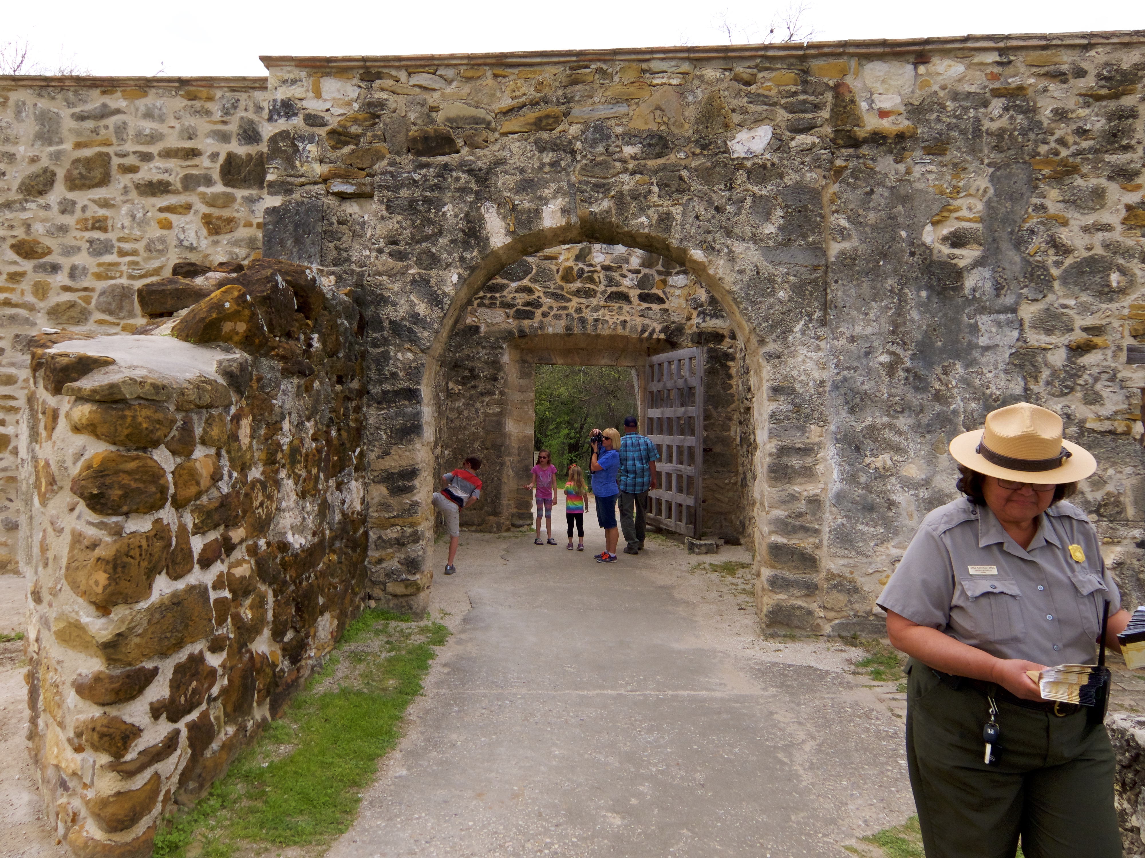
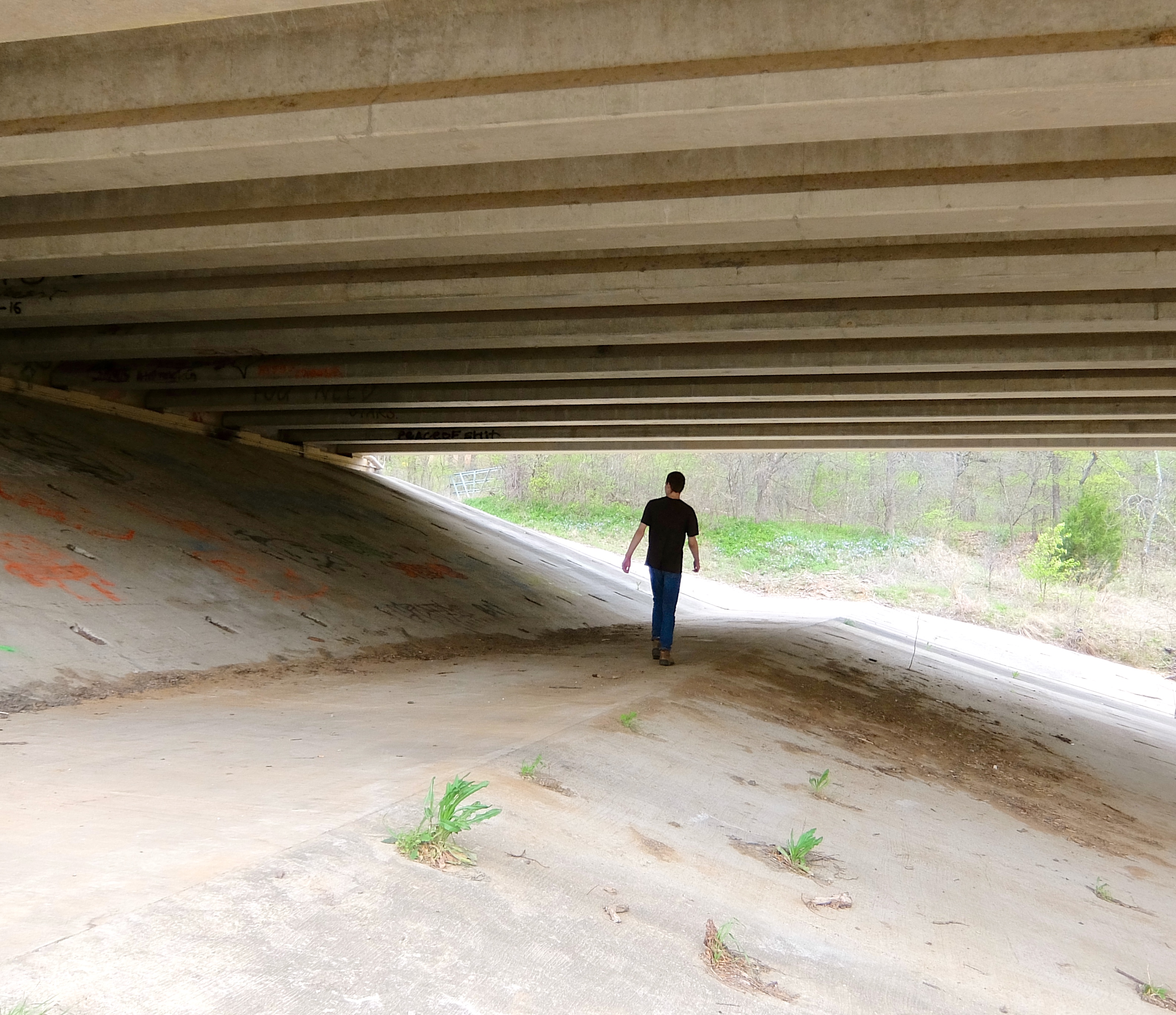
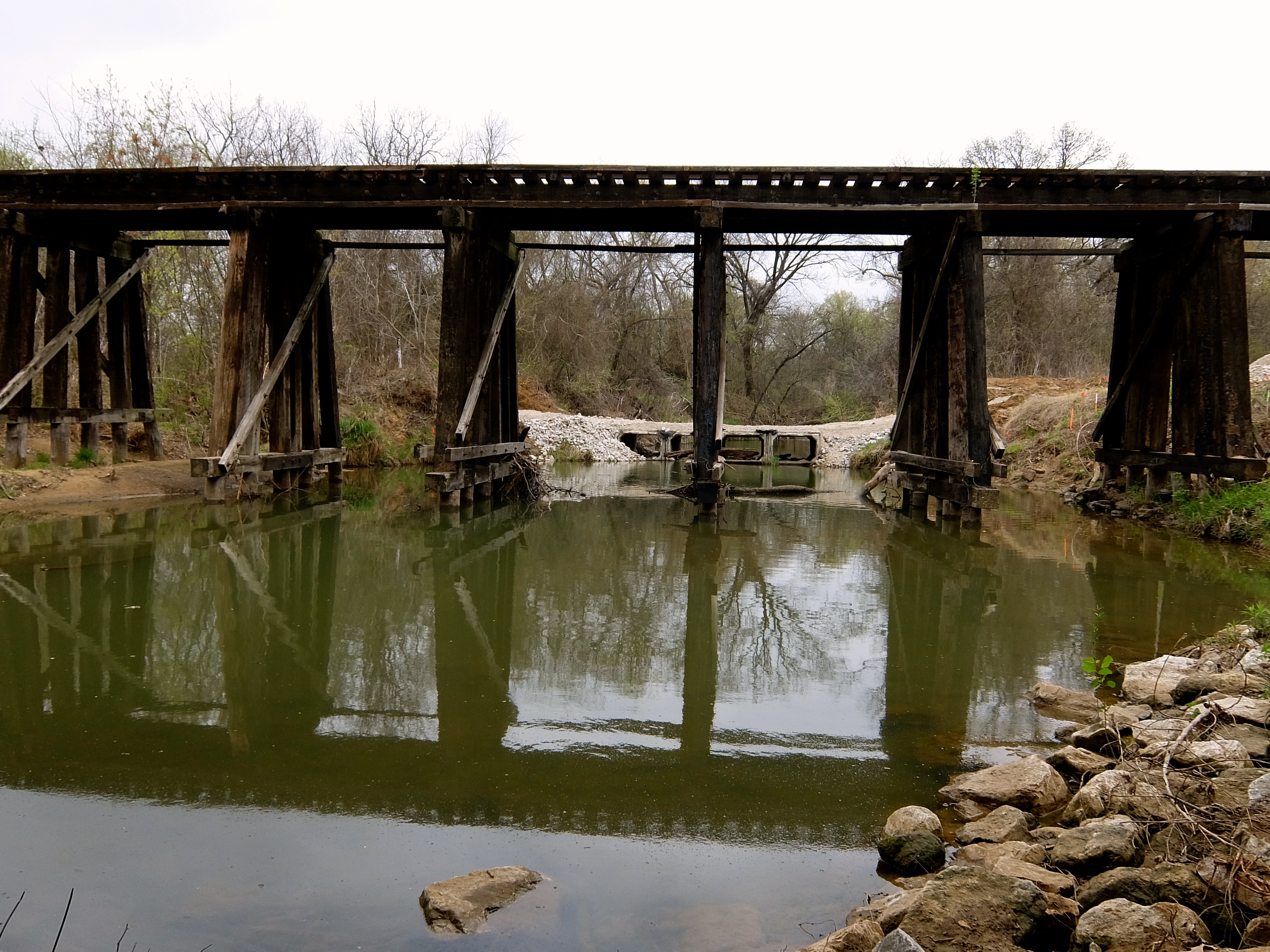
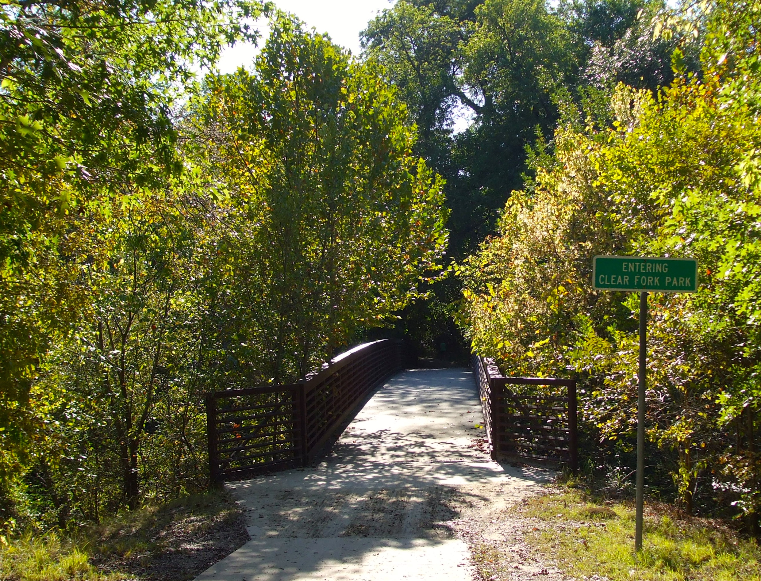
Once we all finally had our bikes, we continued on to Mission San Juan. This is a pretty stretch of trail, with woods and bridges.

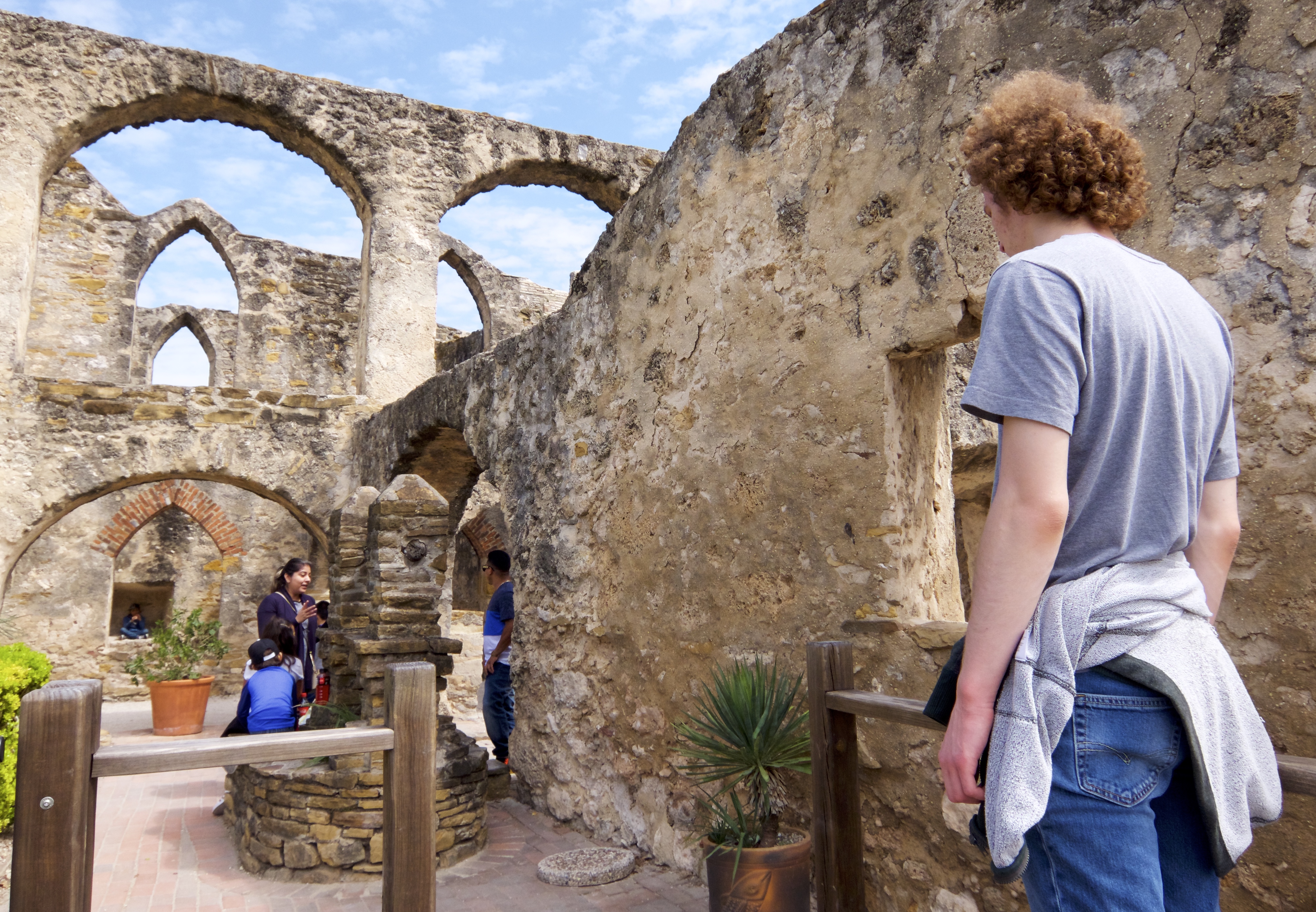
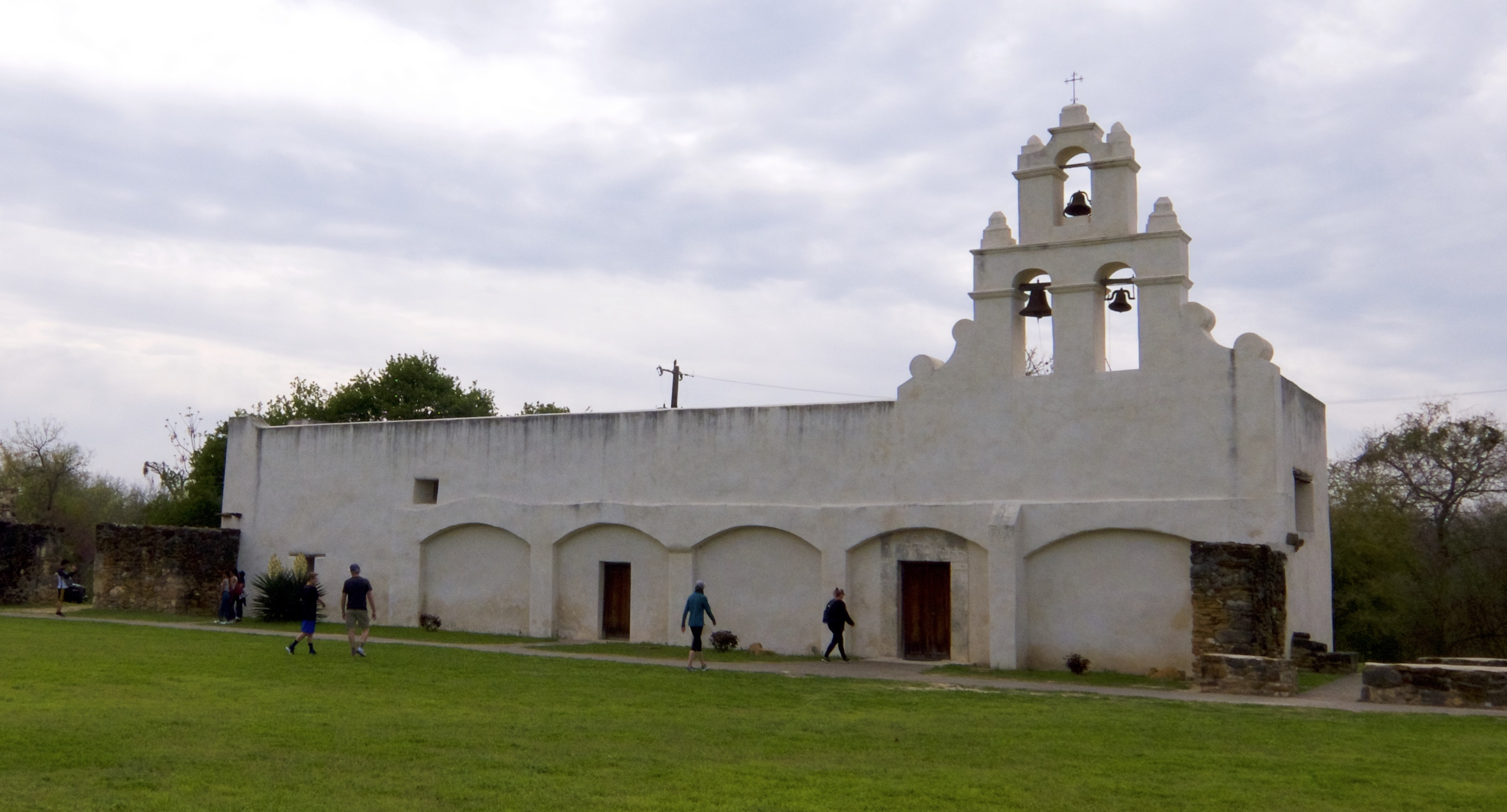
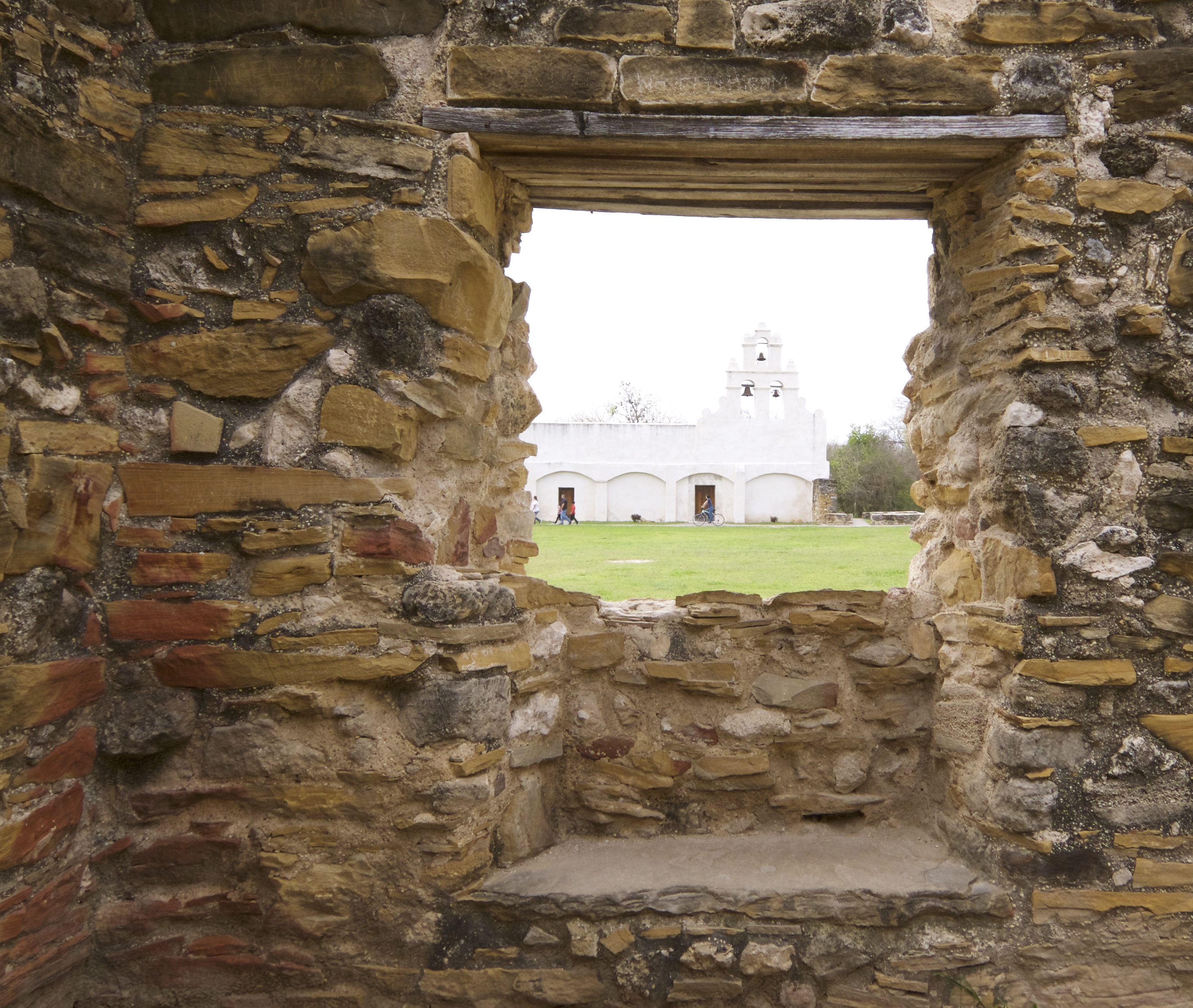
Mission San Juan Capistrano was founded in 1731. It was heavily restored in 2015, including the addition of a coat of white plaster on the main structure. It was small to begin with and there wasn’t a lot left of it.

Like the other missions, it still has a nice church.

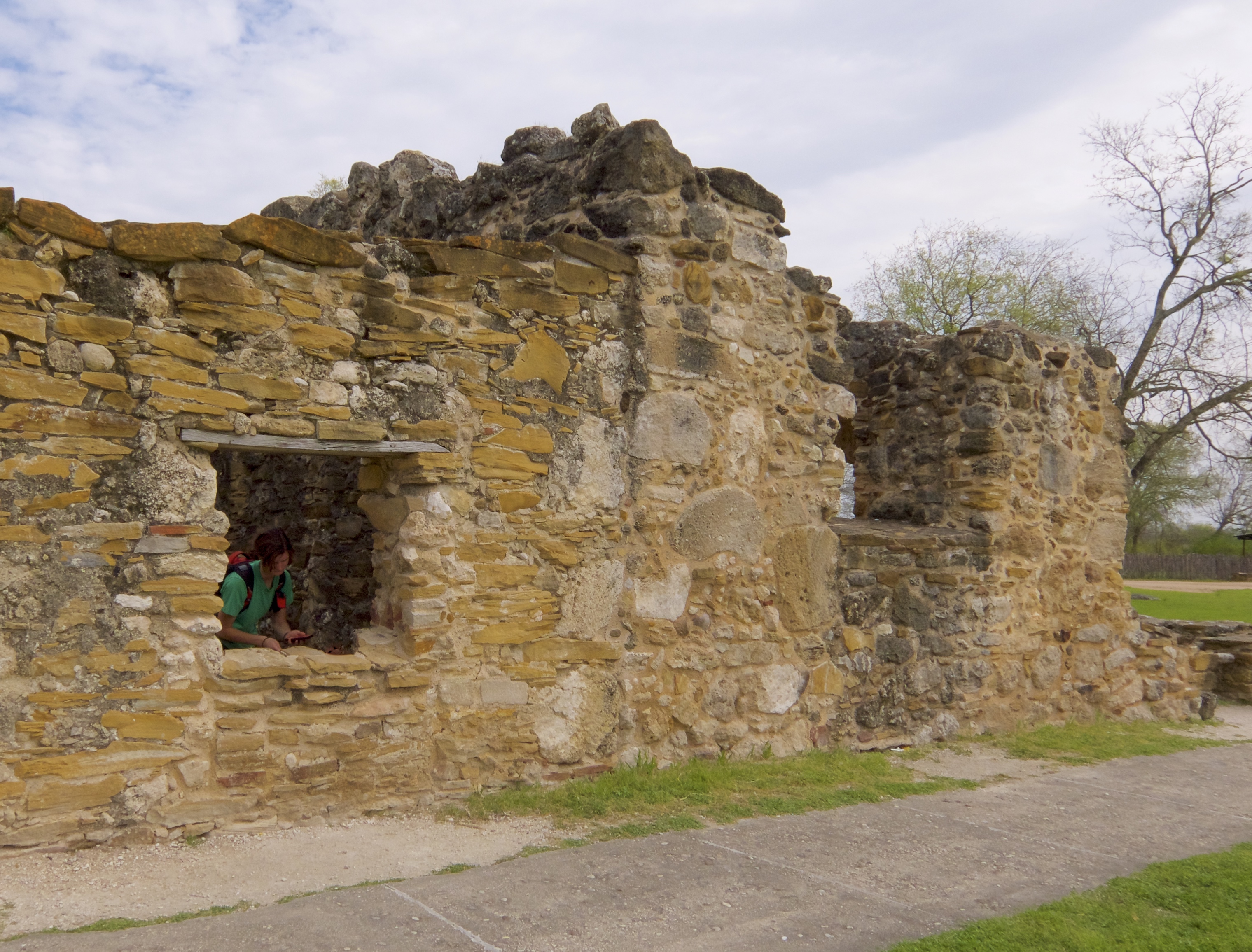
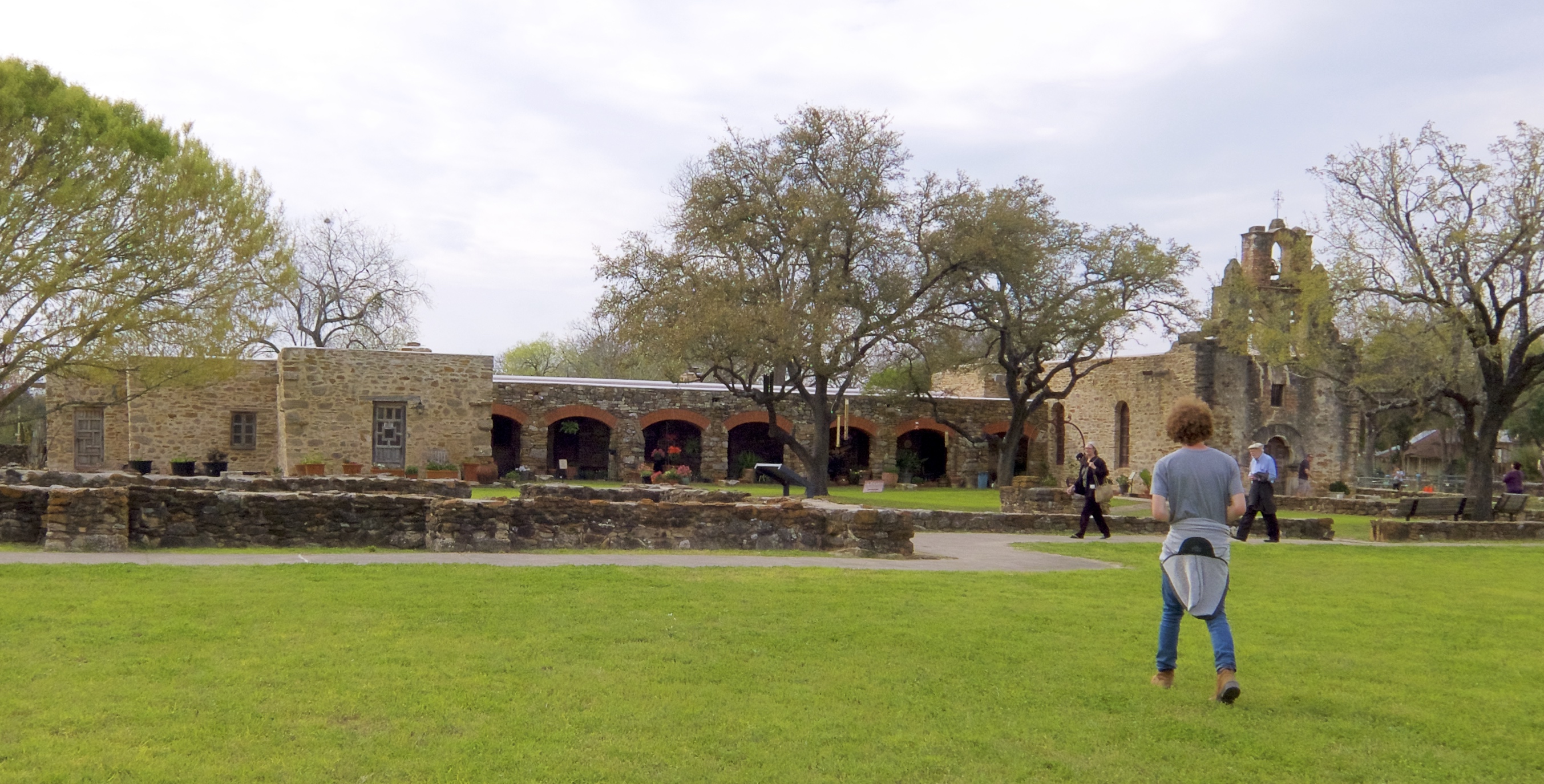
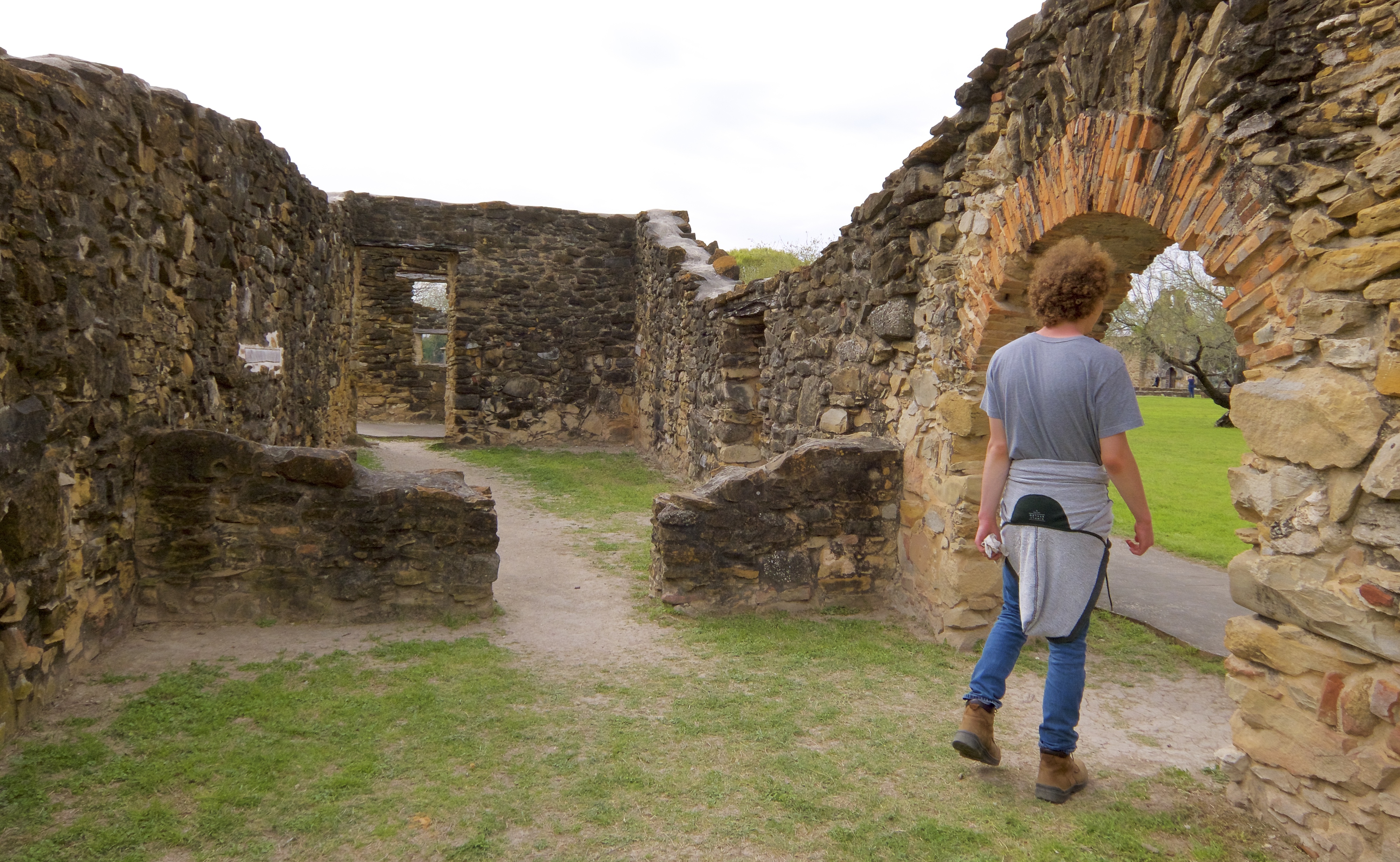
Our last stop, Mission San Francisco de la Espada, was originally founded in 1690 in northeast Texas, or what was then northern New Spain. It was relocated to San Antonio in 1731. Like Mission San Juan, it has lost some of its historic charm due to extensive restoration.

This is the ground that we covered on the Mission Trail, including the walk back to Padre Park:

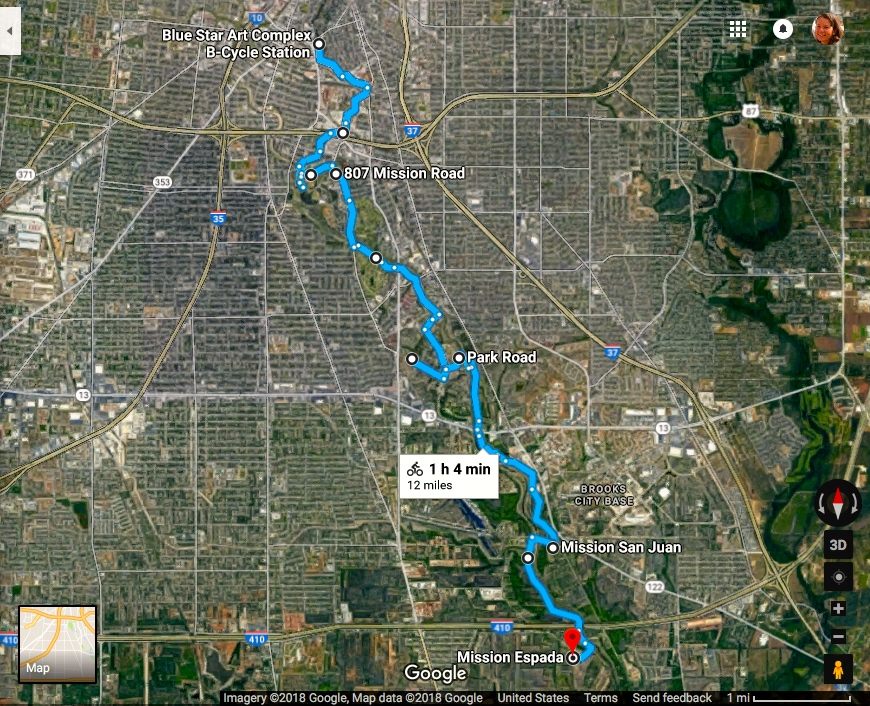
It took a lot longer than an hour, though, with all the time we spent exploring the missions. We rolled out of the Blue Star at about 10:45am and finished up at Mission Espada a little after 5pm, sunburned and ready for supper. I have just now realized that we went about eight hours without eating anything that day and didn’t even feel hungry until we were headed back to the Blue Star. The missions and the bike trail kept us completely captivated.

We left our bikes docked at the Mission Espada station and walked to the nearest bus stop. Here we got lucky: there’s a bus route that just goes back and forth between the missions and downtown. It took us about six hours to cover that distance by bicycle and maybe 35 minutes to get back by bus. Then another 10 or 15 minutes to walk from where we got off the bus back to the Blue Star. We could have waited for a connecting bus, but that would have taken longer.

The bus was clean and pleasant, and the driver and passengers were very friendly. Three thumbs up for public transit.

The original plan was to see the missions, have lunch at Alamode Panini and Gelato in the Blue Star Complex, go tour some local neighborhoods and then have supper at Mi Tierra. But it was so late by the time we got back to the Blue Star, we only had time for one of the restaurants. I was leaning toward panini and gelato, but the kids had their hearts set on Mi Tierra. I bowed to the majority, and we had a nice Mexican dinner.

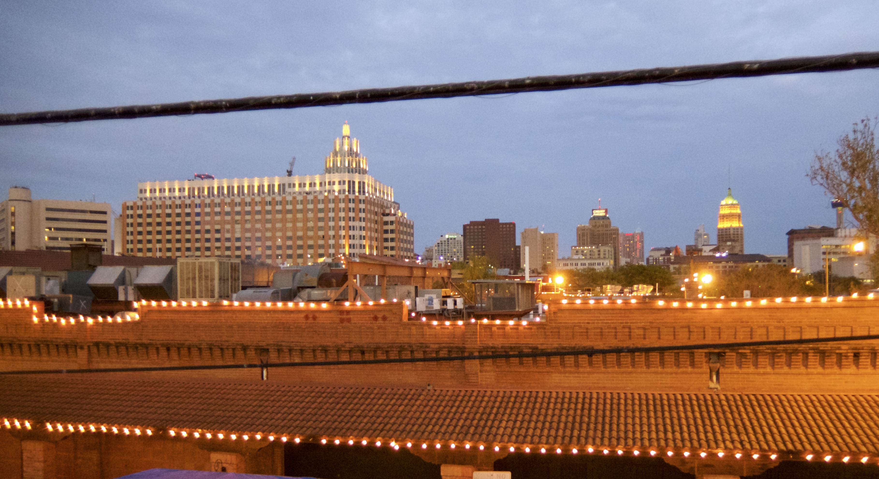
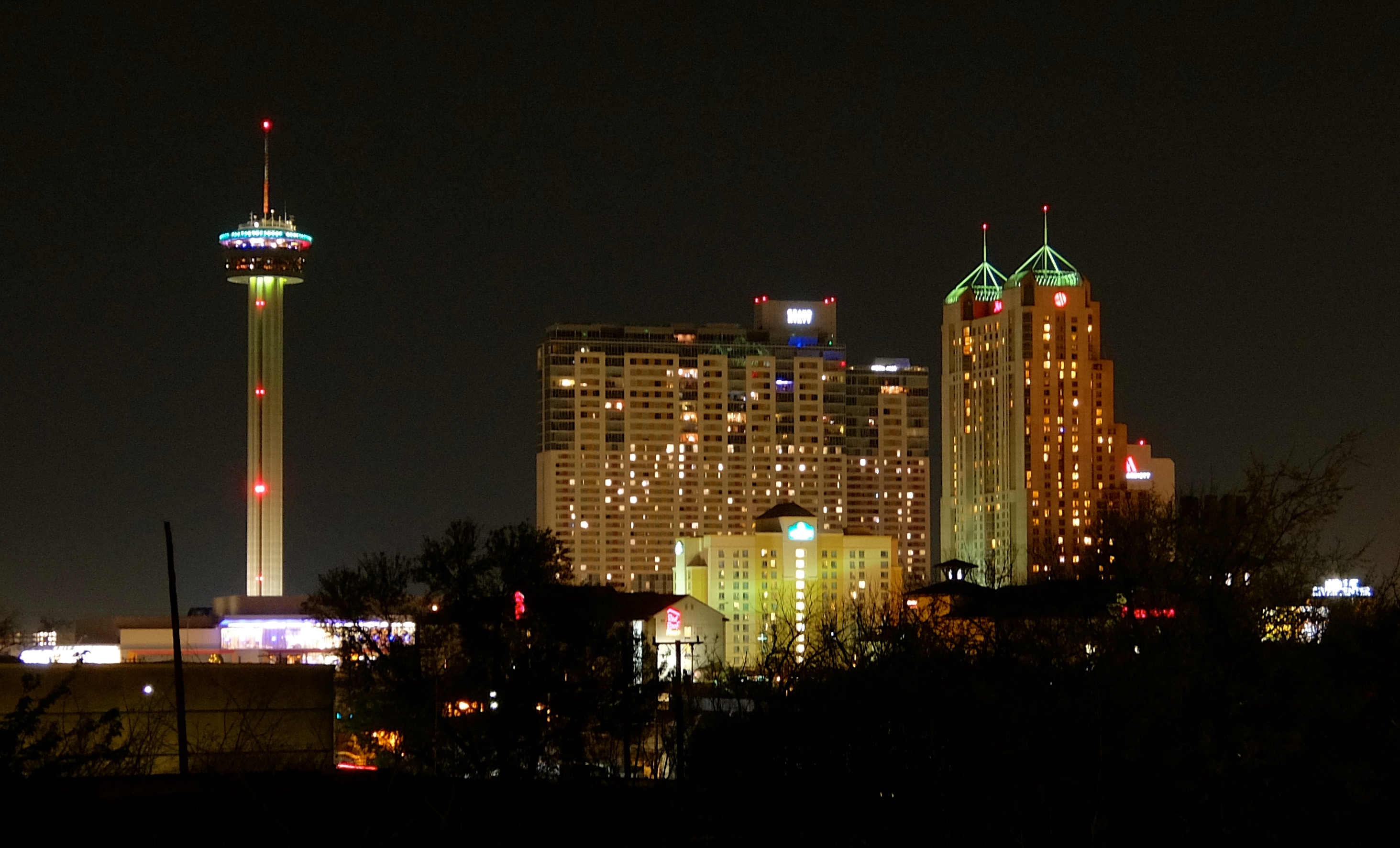
For some reason – probably hunger – I forgot how expensive parking is downtown and just drove to the public lot closest to the restaurant. We did get some nice views of the skyline.

Not sure the views were worth the $10, though.

Mi Tierra was packed with tourists. We basically inhaled our meal and then spent the next twenty minutes trying to get our waiter’s attention for the check. To be fair, he had a large party keeping him running.

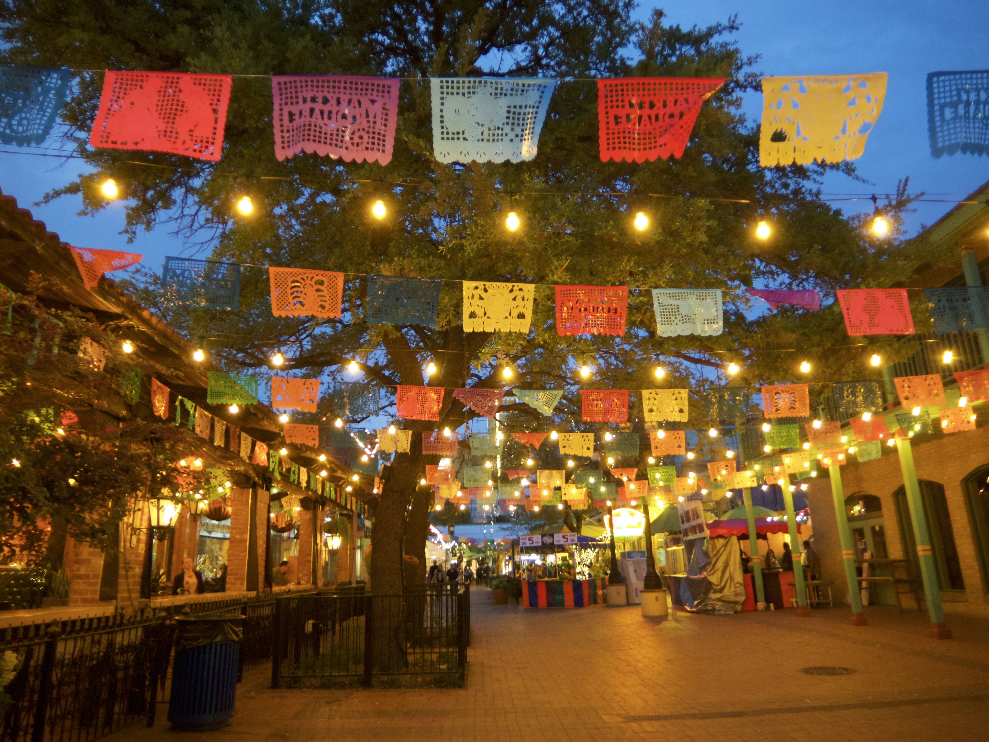
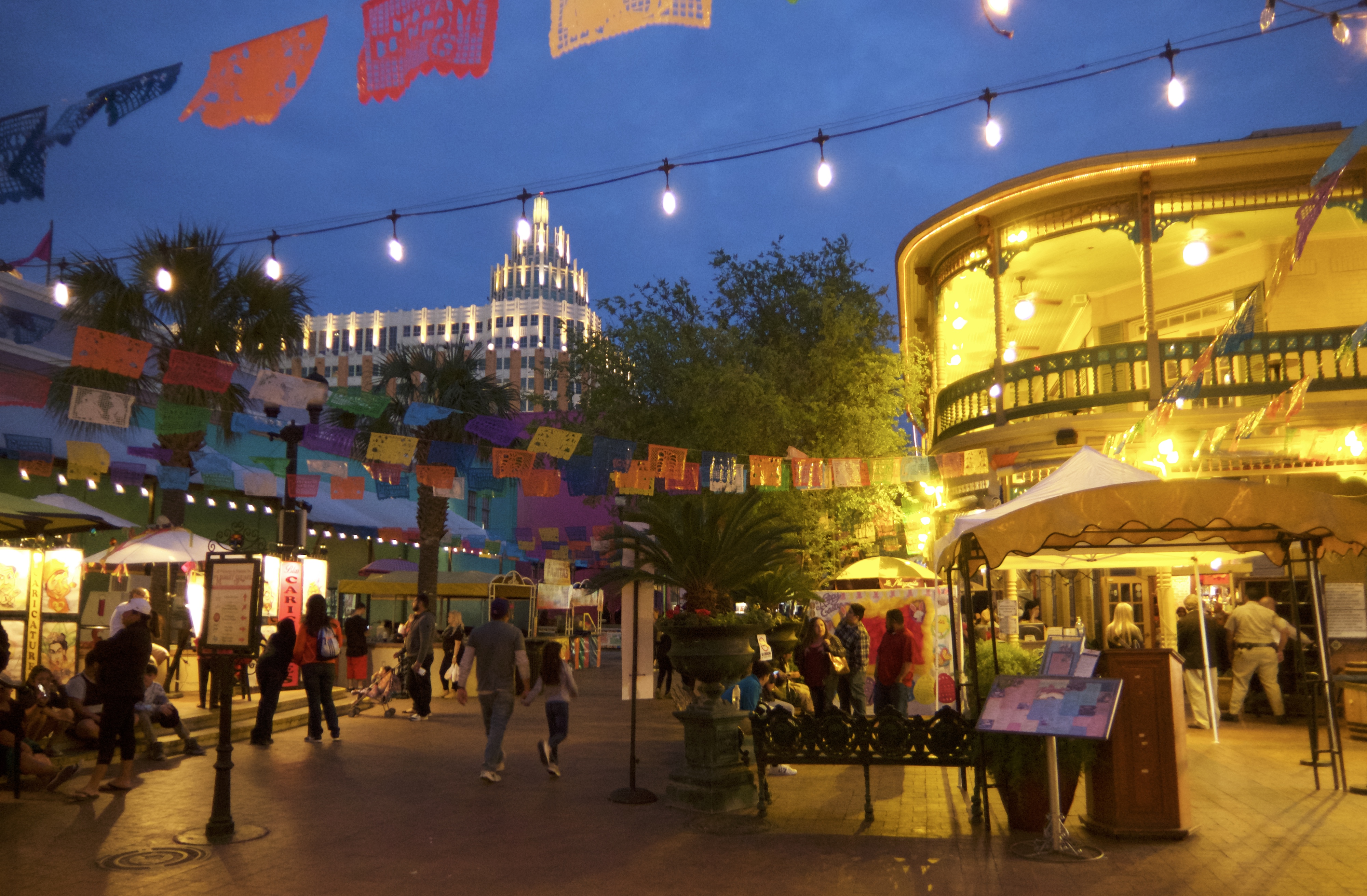
The mercado is pretty at night.

This spot reminded us of Disneyland. New Orleans Square on the right with the Matterhorn in the background:

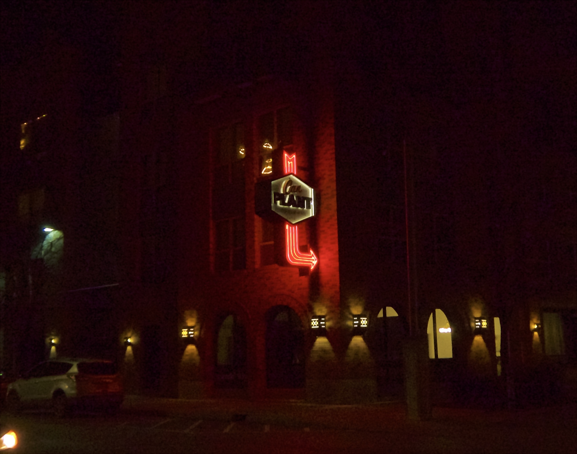
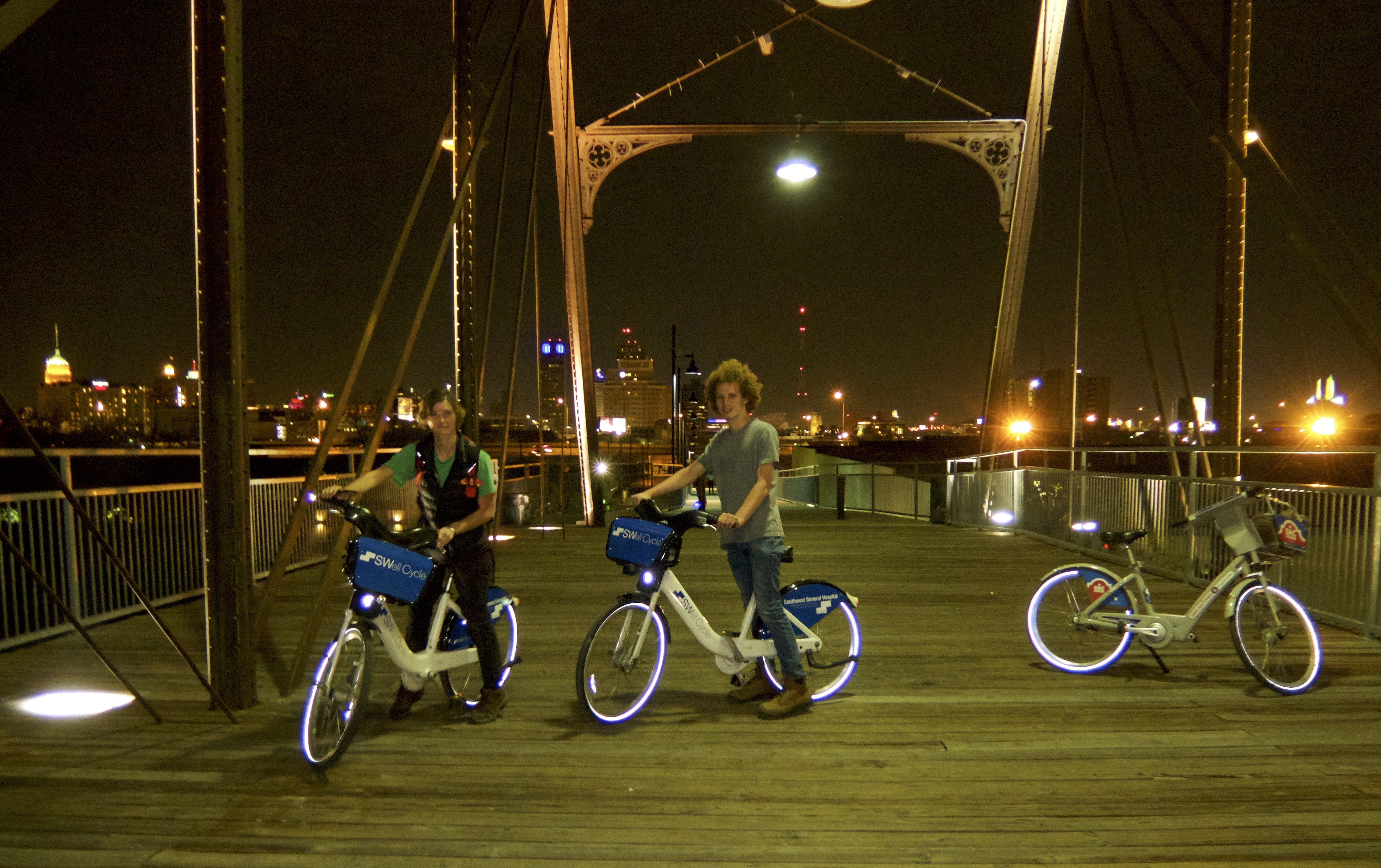
The last landmark on our Day Two checklist was the Hays St Bridge. It’s a pedestrian-only bridge, so we headed back to the Pearl Brewery to trade our car for some bikes. I love that they repurposed the old buildings without changing their names.

There’s no hike-and-bike trail between the Pearl and the bridge, but there are mostly continuous bike lanes on the streets. We got there with no problems.

We got a nice view of downtown.

That was a fun ride. We like the B-Cycles.

We got back to the hotel around 10 or 10:30 and had no trouble falling asleep.

Read Part III here

Categories: A Plethora of Parks, environment, Family, Holidays, kids, Life, maps, Road trip, Travel, Weather | Tags: , , , , , , , , , | Leave a comment

Parr Park Sprayground and Kimzey Park

Spring is creeping back into the Metroplex. This is a beautiful place three seasons of the year, but holy crap is it bleak in winter. I’m always so glad to see that first translucent shimmer of green in the treetops.

I had never seen Bob Jones Park in any season but winter, but on my last ride there I finally saw the first hints of green.

Mahogany is never calmer than when we are cruising through those woodsy trails. I think she and I are forest-loving kindred spirits. She is even becoming a pro at water crossings and lakes.

** ** ** ** **

The kids and I celebrated the return of spring by combining our first real hike of the year with the addition of two new parks to our collection: Parr Park Sprayground in Grapevine and Kimzey Park in Colleyville.

The parks ended up on my radar thanks to a metal pedestrian ramp that runs for no apparent reason up out of the Big Bear creekbed to the bridge where Pool Rd crosses the creek. There is no place to park nearby to take a closer look at it, and Google Maps was no help. This was a mystery that required solving!

Then Google added that trail system to its maps, and the mystery was solved: the ramp connects to a bike trail along Big Bear Creek. The trail was immediately added to my to-do list for when the weather warmed up. Our first attempt was rained out, but for our second try we got lovely 70º weather.

Parr Park Sprayground is a great water-spray park for small children, a sports park for older kids and a connection point for a much larger trail system for the rest of us.

The water features are not in operation this early in the year, but there is a great playground for younger kids (and for those of us who never outgrew our affinity for climbing stuff).

There are a few different trail options here. We chose the one that would take us to the ramp at Pool Rd.

Part of the path was labeled “Bluebonnet Trail,” but we saw a grand total of three bluebonnets. Here they are in all their Texan glory:

We reached the metal ramp more quickly than we had expected. When you cross Pool Rd, you also cross from Grapevine…

…into Colleyville.

Being the contentious rebels that we are, we opted to cross under the bridge rather than utilizing the ramp.

Once across Pool Rd, Google instructed us to turn left and take a public road to Kimzey Park, but I opted to turn right and stay on the bike trail because I thought I was better at reading maps than Google.

Yeah…the bike trail eventually dead-ended. So we ended up taking the long way around via Colleyville Blvd and LongWood Dr.

We got there eventually.

We found a tree that was wearing birds instead of leaves.

For the return trip, we followed Google’s advice and took the road. It was indeed the shortest route. We crossed atop Pool Rd this time and took the metal ramp back down, and then backtracked the rest of the way to Parr Park.

Our next stop was Chan’s Mongolian Grill, which is basically an all-you-can-eat version of Genghis Grill. My fortune cookie told me that it’s time for another road trip.

As soon as Texas gets a bit greener, I think I might take my fortune cookie’s advice.

Categories: A Plethora of Parks, environment, Family, Horses, kids, Life, maps, trail rides, Travel, trees, Weather, Winter | Tags: , | Leave a comment

Wordless Wednesday: More Parks Along the Trinity

DSCF1564

DSCF1565

DSCF1568

DSCF1574

DSCF1581

DSCF1584

DSCF1587

DSCF1588

DSCF1591

DSCF1595

DSCF1601

DSCF1602

Categories: A Plethora of Parks, Animals, environment, Friends, Life, maps, trees, Wildlife, Wordless Wednesday | Tags: , , | Leave a comment

A Plethora of Parks: Summit Park and McPherson Park

I was chatting recently with one of my SoCal friends who, like me, loves to explore new places and loves public parks. I told her that the kids and I could go to a different DFW park every week and not run out of new ones for literally years. It’s one of my favorite things about the Metroplex.

That conversation got me thinking that maybe other people would enjoy reading about the parks here and what each of them has to offer. Some of them are big, sprawling places perfect for long, scenic walks, while others are more like little picnic spots. I was inspired to start a “collection” of local parks, with pics and descriptions of each one.

We can’t actually visit a different park each week. There’s no shortage of parks, just a shortage of time. But every time we do get to a new one, I’ll add it to my collection.

So yesterday the kids and I were at the Trader Joe’s in Southlake. There are two parks within easy walking distance of the store: Summit Park and McPherson Park.

Summit Park sits on a little hill surrounded by businesses:

image

The area is a lot prettier in person than it looks on Google Maps. Here’s a view of the park from the top level of the parking garage behind Trader Joe’s:

FullSizeRender

And here it is as seen from Cafe Express, where the kids and I had lunch:

image

There’s a little gazebo near the center of the park.

DSCF1059

I would classify Summit Park as a picnic spot, because it only takes a few minutes to walk from one end to the other, but it’s a really lovely walk.

Here is the sign, to make Summit Park an official entry in my collection:

DSCF1057

If you’re walking from Summit Park to McPherson Park, I would recommend going by way of Southlake Town Square. There is a pretty pond and a gazebo and a fountain…

DSCF1073

Plus this guy.

DSCF1075

There’s a directory next to the Town Square. Use it to make sure you walk through the courtyard behind Brio Tuscan Grille on your way to McPherson Park, because that’s worth seeing too.

McPherson Park:

image

There’s not much to say about McPherson Park; it’s basically a pond with a trail around it. It looked so uninspiring that we didn’t even walk around the pond, we just followed the trail far enough to snap a pic of the sign to make it official…

DSCF1082

…and then looped back into the shopping district, which is gorgeous and a nice place to spend a lot of money if that’s your thing.

To summarize, Summit Park is a lovely little picnic spot. McPherson Park is nothing special, but I’m glad we went because we saw a lot of cool stuff during the walk there and back.

Hopefully I’ll be adding new parks to my collection at least once a month. If you live in the Metroplex and you have a favorite park that you’d like to see recognized here, feel free to leave a note in the comments.

Happy trails!

Categories: A Plethora of Parks, Family, food, Friends, kids, Life, maps | Tags: , , | Leave a comment

Blog at WordPress.com.