DOT by Bike and Rail

DOT by Bike and Rail: Cherry Creek and the Finish Line

Each loop I charted on this project was longer than the one before. For the last one, I went back to the Ridgegate Station in Lone Tree, rode south to reconnect with the DOT at the beginning of Segment 11, and then curved up through Parker and Cherry Creek State Park and back into Aurora, through segments 12, 13, 14 and halfway through 15, where I had started my journey back in May. Roughly 35 miles, give or take a couple. I need to start tracking my mileage on these explores.

Segment 11 winds east on the East/West Regional Trail.

In Parker, some of the tunnels have been painted by local artists. I like it!

The East/West Trail terminates into the Colorado Front Range Trail, which runs north/south along Cherry Creek up to Cherry Creek State Park and beyond. Near the intersection of the two trails, just past the Bar CCC Reservoir, this flock of wild turkeys was hanging out.

It’s a pretty stretch of trail.

The stone bridge isn’t part of the DOT, but I stopped and played on it for a bit anyway.

Farther up the trail I passed a bakery/cafe that looked good, so I pulled up and enjoyed a really tasty French dip.

Segment 13 is unpaved and a bit rough, but scenic.

Cherry Creek Reservoir was looking pretty.

I’m not a huge fan of rabbitbrush, but it was popping that day. Perfect gold against the muted blue of the water.

For some reason, the bike trail from Cherry Creek State Park to where I left the DOT and rode home is shorter in my head than the drive from my house to the Park. Not time-wise, but geography-wise. It just seems farther when I’m driving it, no idea why.

Anyway, that was my adventure on the Denver Orbital Trail. I enjoyed it a lot, and will probably do parts of it again. I’m impressed by how accessible the “greater Denver metro area” is by bike, as long as you don’t try to go up into the mountains.

Next I’m thinking of riding the entire length of the High Line Canal Trail: 71 miles, 27 segments starting in Waterton Canyon and snaking north and east to 64th Ave in east Denver, almost to the airport. The logistics of that are trickier, though, because the first part isn’t near a light rail station, so someone would have to drive me to the first trailhead out in the boonies.

Next up: we summit our first 14er!

Categories: A Plethora of Parks, Animals, Artwork, DOT by Bike and Rail, Dragons, food, Life, trees, Wildlife | Tags: , , | Leave a comment

DOT by Bike and Rail: Foothills Loop

In my last DOT post I said there was only one loop left. Now that I check my pics, I see that there are actually two left to cover. And honestly, I remember very little about this one except that it was the first time I ventured up into the foothills on my completely-unsuitable-for-offroading commuter bike, and it was exhausting and stressful, but the views were worth it.

To maximize downhill miles, my plan was to take the R line to Lincoln station and then the E to Ridgegate, and then bike DOT segments 10, 9 and 8 clockwise back to Mineral Station where I’d left off. But when I got to Lincoln, there was a 23-minute wait for the next E train, so I decided to just bike it. I did beat the train to Ridgegate Station. Later, gasping for breath up in the foothills, I was sorta wishing I’d just waited for the train and saved my energy for the trail.

Historic Schweiger Ranch:

The gravel trail wound up into the hills pretty quickly.

Sometimes it was more dirt than gravel, my bike liked that better.

No complaints about the views.

At times the trail was barely a trail.

In some places it was hard to get a bike through.

Once, very briefly, I got a stretch of pavement!

But that didn’t last long.

At least the weather was lovely. Couldn’t have asked for a prettier day.

I had finished off the tea in my water bottle, so when I rolled back down into civilization I detoured to a 7-11. But when I got there I saw what I thought was a little taco place with a patio, so I figured that would be a nice place to chill for a while with an iced tea. But it turned out to be a nice restaurant where they bring you warm tortilla chips with salsa, and at that point you’re basically obligated to order something. I was not hungry at all, but I ordered a burrito to be polite, thinking I would take most of it home for dinner.

It was delicious and I ate the entire thing there at the table.

Thus refueled, I continued on my way.

I wonder if Bob Marshall won his election.

I think this was Chatfield Reservoir. Might be McLellen Reservoir.

I took the D line from Mineral Station to Broadway, planning to take the H to Florida, but there was a 30-minute wait for the train. I decided to bike home, even though it was getting dark and my phone was dying.

That was an interesting ride. The kind of homeless people that you don’t see in the daytime materialize in sheltered corners at night. One or two of them looked at my bike with a little more interest than I was comfortable with. It took me about an hour and a half to ride home, taking the straightest route along busy streets instead of the more bike-friendly trail. I probably won’t be doing that again.

One more DOT post, for real this time!

Categories: A Plethora of Parks, DOT by Bike and Rail, environment, food, Life | Tags: | Leave a comment

DOT by Bike and Rail: Cherry Creek Trail, C-470 Bikeway, Chatfield Reservoir

For most of last summer while I was riding the DOT, the R line was always running late because of track maintenance. It took three hours just to get from home to the Golden station for that Golden-to-Arvada loop, partly because of the chronically late R line and partly because I had to take the A to Union Station to connect with the W to Golden.

For my seventh loop, I wanted to start in Golden again and travel south. I wondered if I could make better time by riding my bike directly to Auroria West station on the W in Denver, via Cherry Creek Trail.

This is a pretty ride. I stopped to peek through the fence at Four Mile Park in Glendale, were I got to see some of the giant lanterns for the annual Bright Nights Lantern Festival.

Following Cherry Creek northwest into Denver, I shared the trail with lots of pedestrians, scooters and other bicyclists. It’s much more scenic than the train ride!

I arrived at Auroria West station and took the W back to Golden station. Total travel time to get to Golden…about three hours. No time saved, but I did enjoy the bike route more.

Like Segment 1, Segment 2 winds up into the foothills on steep, rough dirt trails that my commuter bike is not built for. I opted to take the C-470 Bikeway instead, which was mostly a good call, at least in the beginning.

Segment 3 of the DOT hops onto the Bikeway near Bear Creek, and that’s where I picked it back up.

Bear Creek Lake Park looks like a nice place to cool off on a summer day.

Apparently there’s a controversial plan to enlarge the reservoir by 20,000 acre feet, which would put most of this park underwater. I can see good arguments on both sides of the debate.

The DOT returns to C-470 via Turkey Creek.

Right around here is where the ride stopped being fun for a while.

From here it was just nine miles of following a freeway with not much to look at other than cars. The DOT bails about halfway through and winds back up into the foothills, but I was locked in until the Chatfield Tunnel at Chatfield Reservoir.

Then it got pretty again.

This loop took me almost to the end of Segment 7, where I left the DOT and followed the Platte River up to Mineral Station in Littleton.

Took the D line to I-25 and Broadway station, then transferred to the H line. That took me to Florida station, and from there it’s a short bike ride home.

Coming up: the final loop!

Categories: A Plethora of Parks, Animals, Artwork, DOT by Bike and Rail, environment, Life, trees | Tags: , , , , | Leave a comment

DOT by Bike and Rail: Golden, Blunn Reservoir, Arvada

On the last day of last August, I resumed my quest to bike all 177 miles of the Denver Orbital Trail. To recap: there are 28 segments, each meant to be walked in a day. Since I’m on a bike instead of on foot, I always covered several segments at a time, beginning and ending at a light rail station. I began this project in early May 2024, starting halfway through Segment 15 in Aurora and traveling counterclockwise. As of my last blog post I had made it to the end of Segment 26 at Majestic View Park in Arvada, and then rolled down a really long, fun hill to the Olde Town Arvada rail station.

For my sixth loop, I decided against picking up the trail where I’d left off. Instead I started at the Golden rail station, connected with the trail partway through Segment 1, and then traveled clockwise through segments 28 and 27 until I was back at Majestic View Park. This way it was mostly downhill and I got to do that long descent into Olde Town again!

This billboard greeted me as I made my way from Golden Station to the DOT. The little paraglider in the picture made me look up, and sure enough…

…there he was!

Next I came to this little building. What could it be?

So apparently there’s a trail here where you can see dinosaur tracks and stuff. I didn’t have time to explore it on my ride, but one of these days I’ll go back and check it out.

Golden is full of beautiful public art. This lifesize sculpture was near the bike trail:

I connected to the DOT near where it crossed Clear Creek.

Saw lots of people out floating. That looks like a fun way to spend a day.

The DOT follows Clear Creek for a while. There’s some nice public art along the trail.

Clear Creek runs though the Coors Brewery…

…so to avoid being Augustus Glooped, but with beer instead of chocolate, this is as far as the floaters can go.

The DOT crosses the Golden Freeway and climbs up Table Mountain. My commuter bike is not made for such off-road shenanigans, so I stayed on Clear Creek trail and traveled parallel to the DOT route.

Table Mountain:

I passed the Colorado Railroad Museum…

…and then made my way back toward Table Mountain to reconnect with the DOT as it comes down. This part of the trail is still dirt and gravel, but my bike handled it okay. Nice pastoral views here.

I came down out of the hills on the Ralston Creek Trail, which finally changed from dirt to pavement at the junction of Segments 27 and 28 near Blunn Reservoir.

Farther down Ralston Creek Trail I discovered the Colorado Tap House, which has cleverly installed a bunch of trail-facing signage and bike racks.

I saw a lot of families with kids who had ridden their bikes there for lunch. I might do that myself sometime.

This tree apparently has an appetite for kites.

More pretty scenery on my way back to Mountain View Park…

…and then that long, giddy roll back down to Olde Town Arvada.

I stopped for lunch at a food trailer…inside a building, which seems like it defeats the purpose of a food trailer, but whatevs.

Took the G line from Olde Town Arvada back to Union Station, where I saw this fancy guy.

This loop covered about 28 miles, not counting train rides. Next up, the 470 Bikeway and Chatfield Reservoir.


Categories: A Plethora of Parks, Artwork, DOT by Bike and Rail, environment, food, Life, trees | Tags: , , , | Leave a comment

DOT by Bike and Rail: Westminster, Standley Lake, Olde Town Arvada

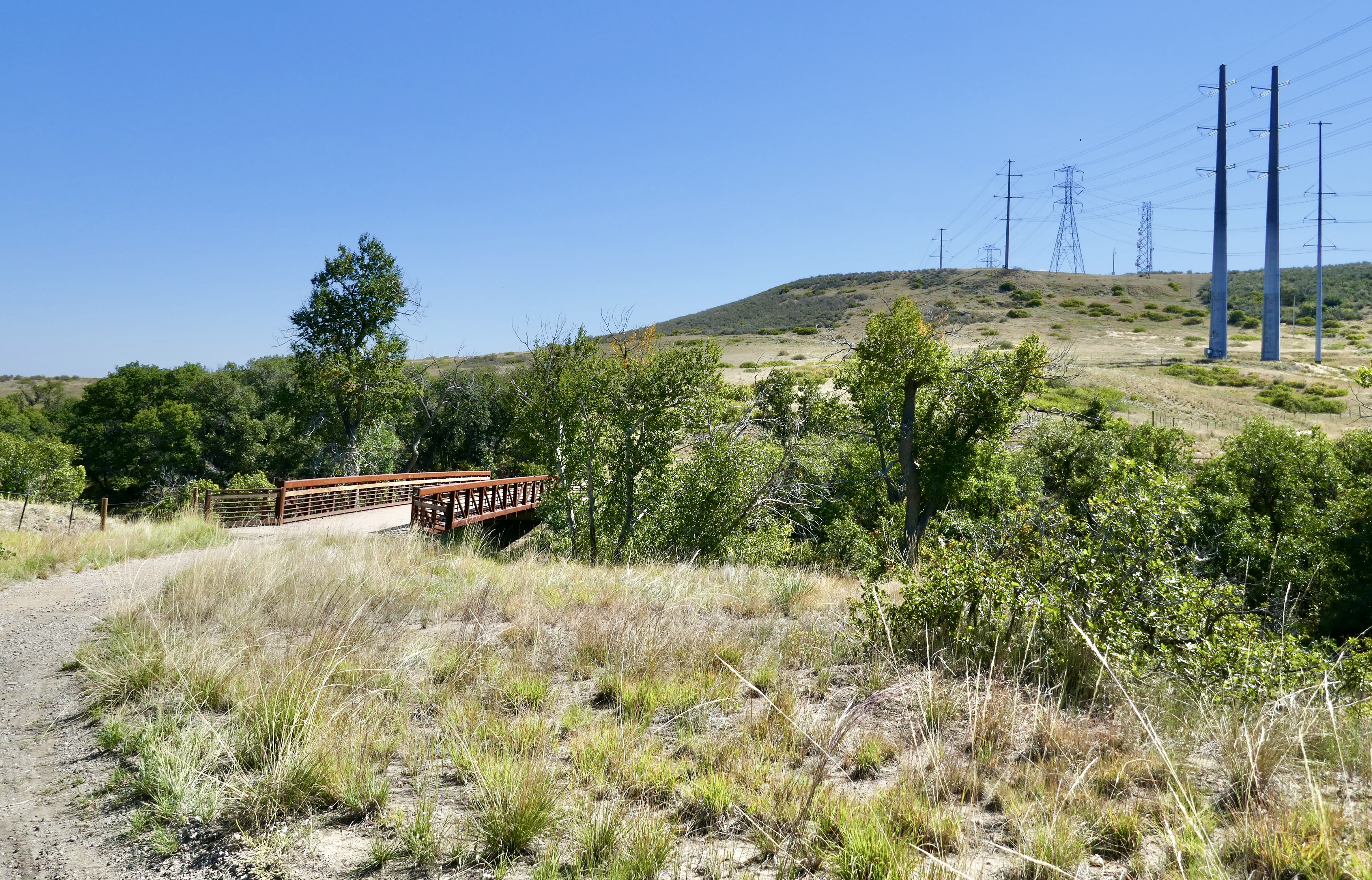
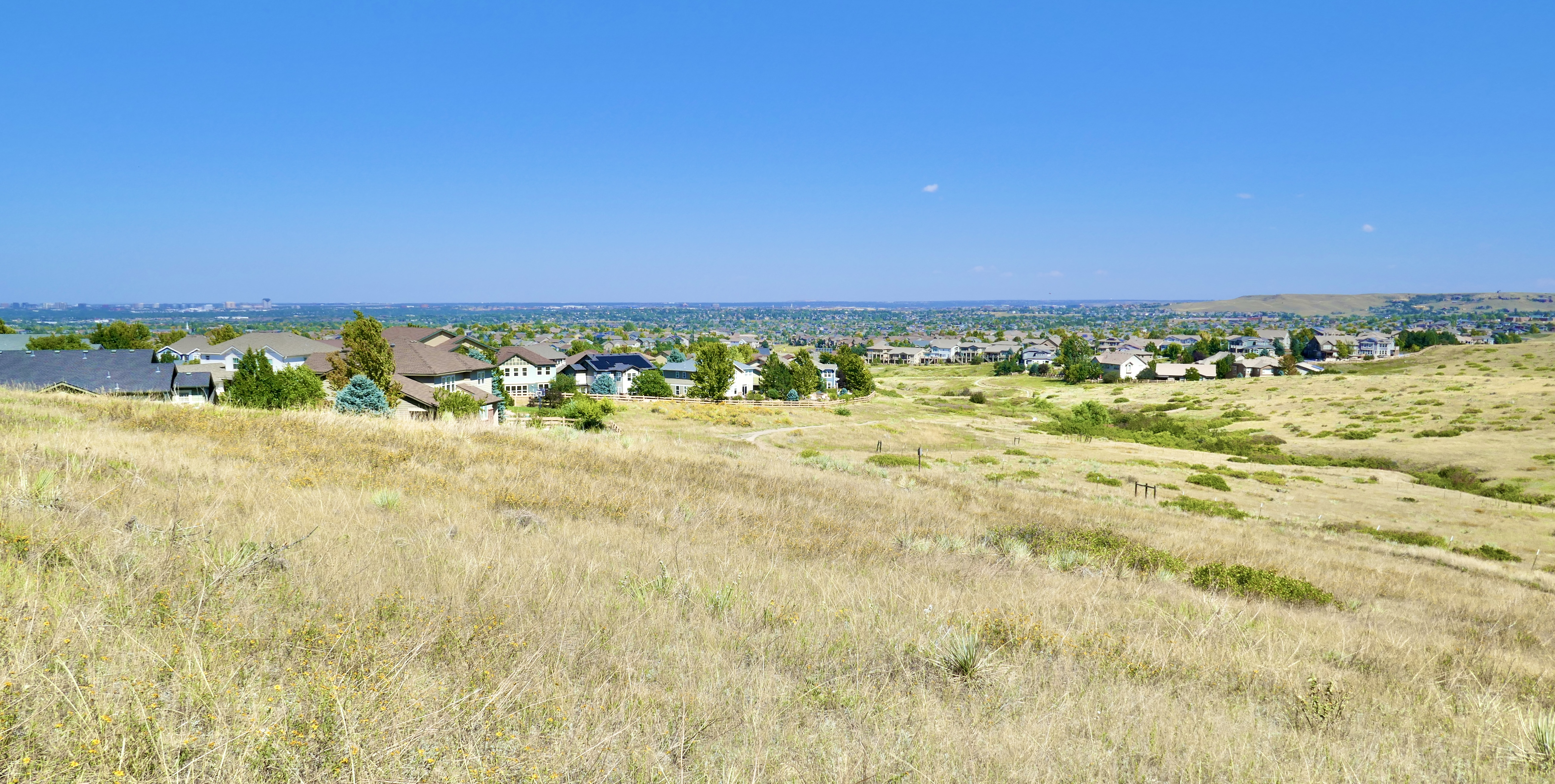
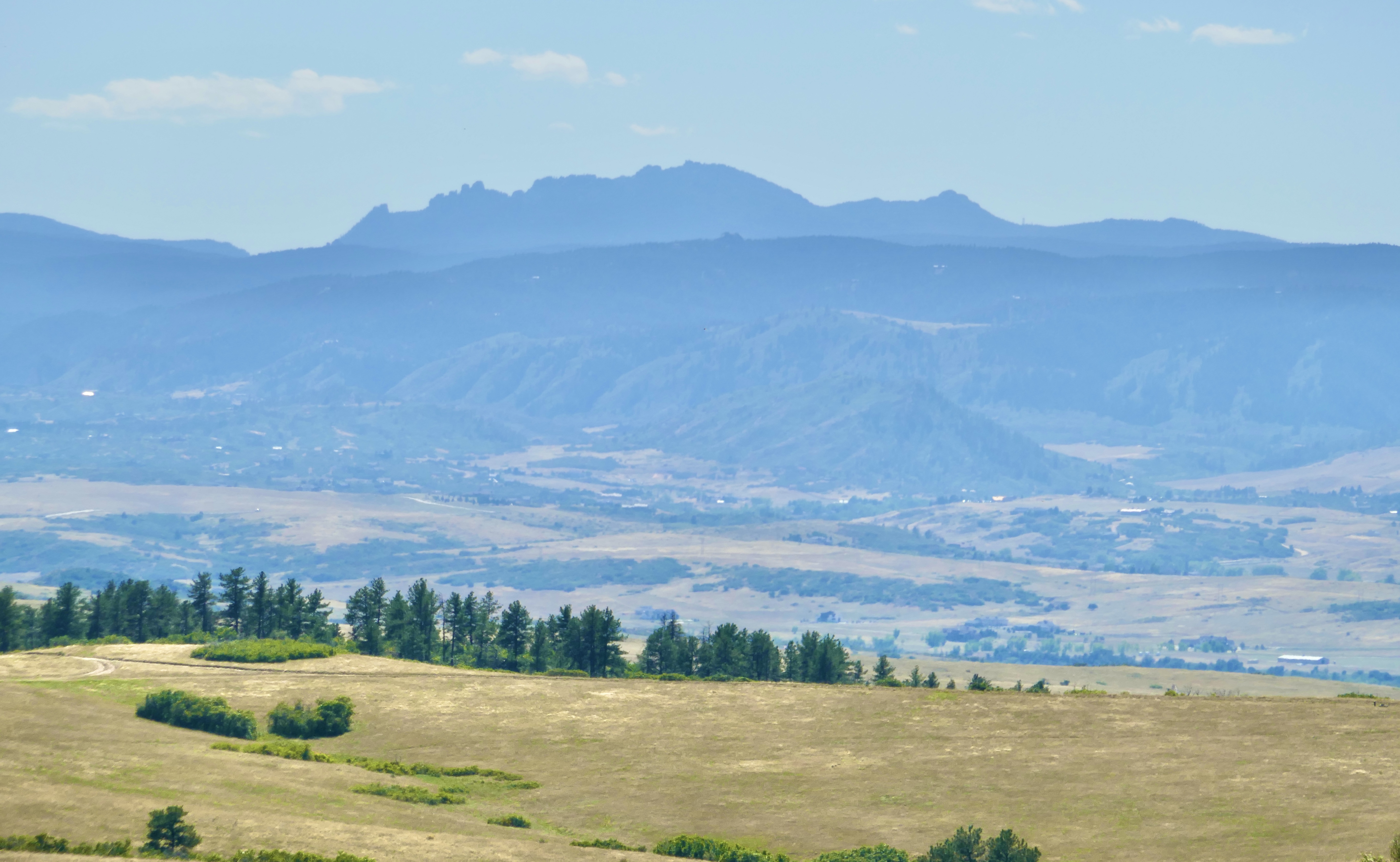
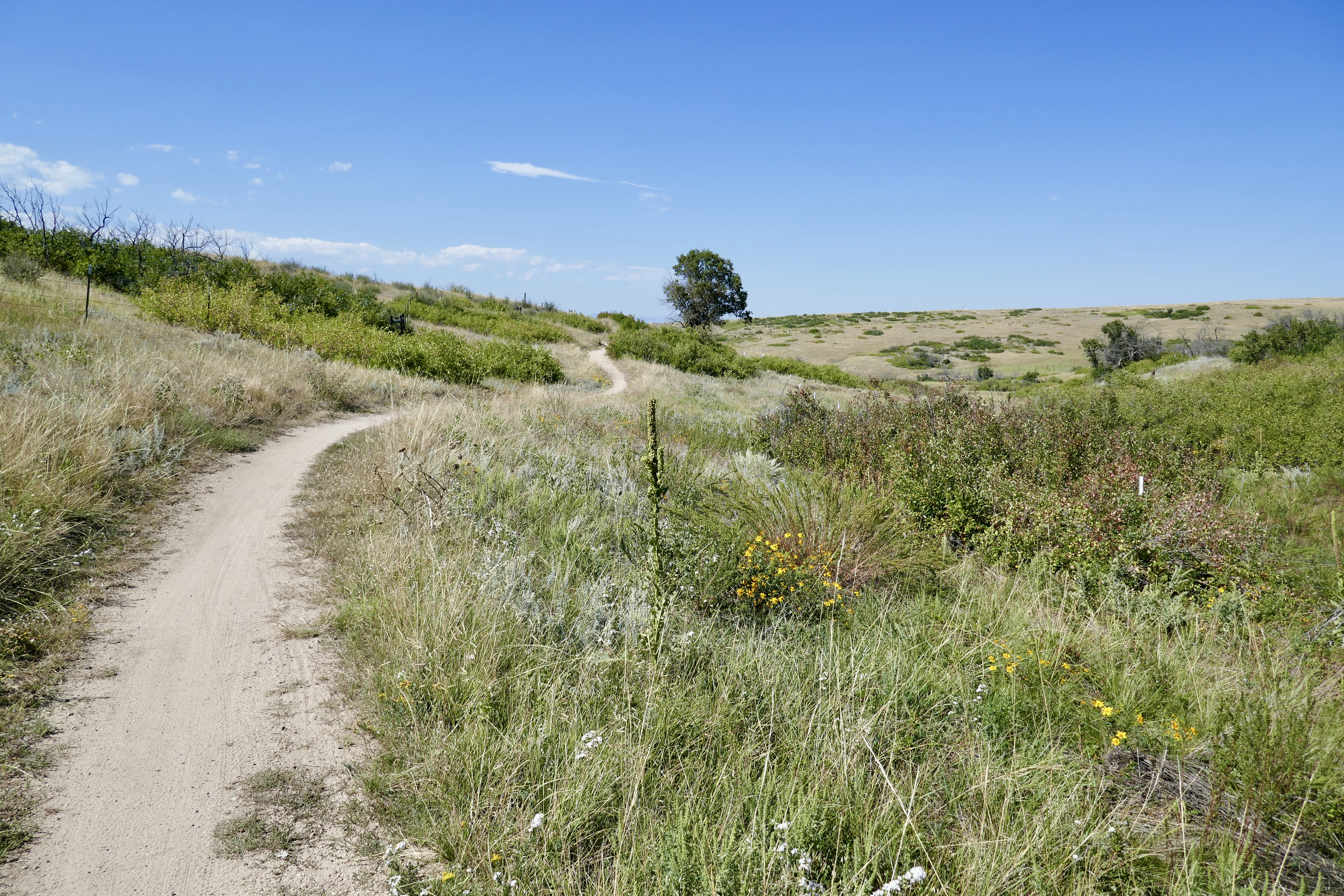
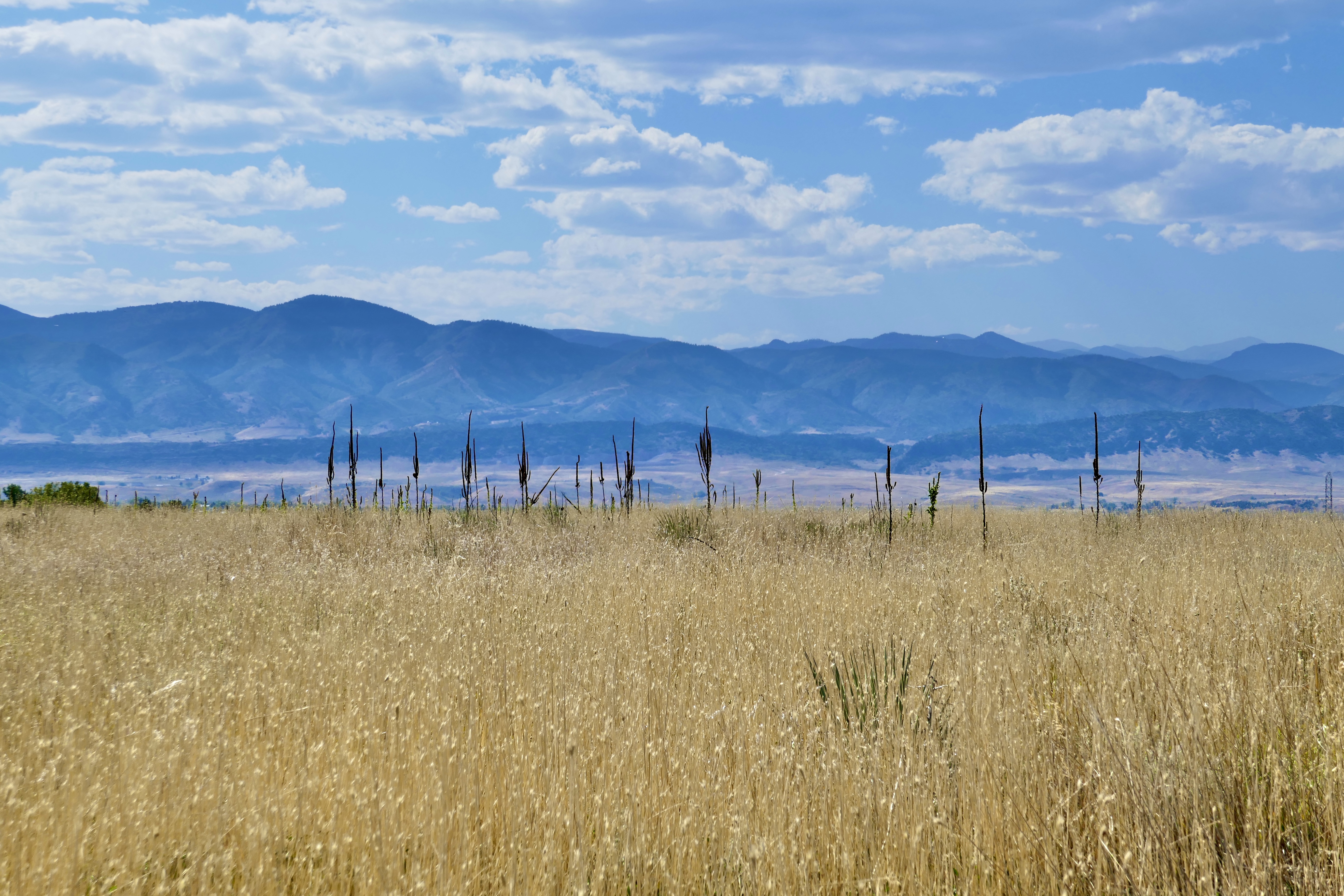
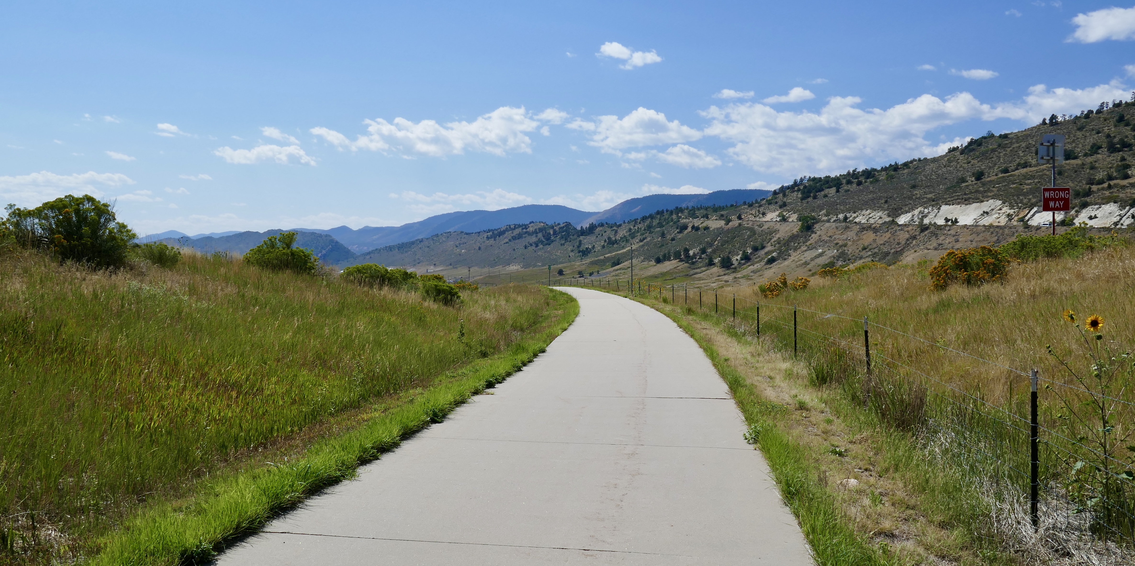
Loop 5 continues the pattern of being longer than all the ones before. Every time I start out on one of these DOT loops, I wonder if it will be too long and wear me out. But so far it’s only heat and dehydration, not total distance, that drain my energy. As long as I keep my water bottle full and stop to cool down in the shade now and then, I have yet to hit the limits of my stamina. And one advantage trail riding on a bicycle has over trail riding on a horse is that I don’t worry about overworking the bike. It only gets tired when I do. So I can plot these longer and longer courses without having to factor in anyone’s fitness and enthusiasm but my own.

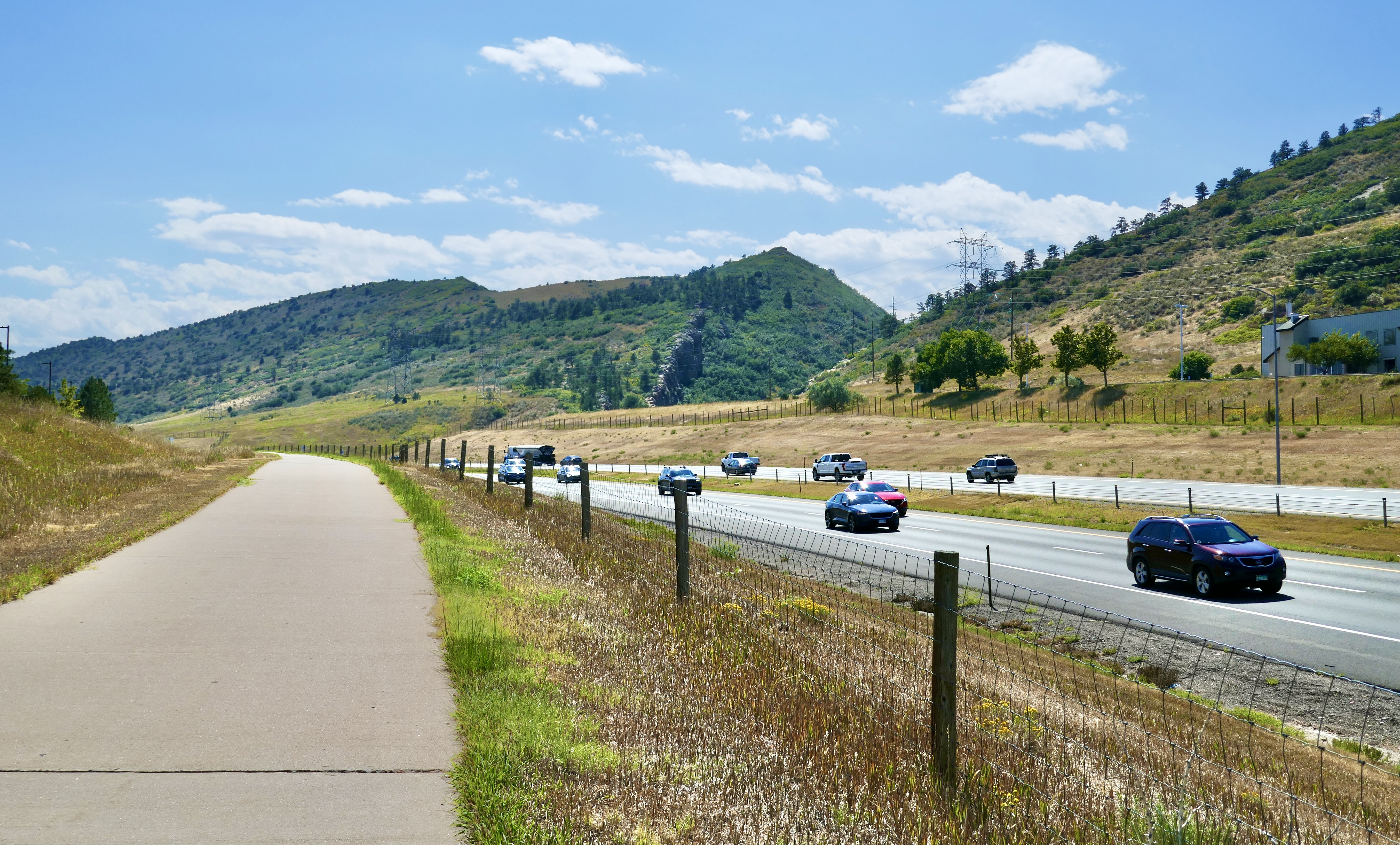
After riding home from Peoria Station on my last outing, I wondered whether that might be a more efficient way of getting to the A line than starting on the R line. So for Loop 5 I found the straightest route between my house and Peoria Station and tested that theory.

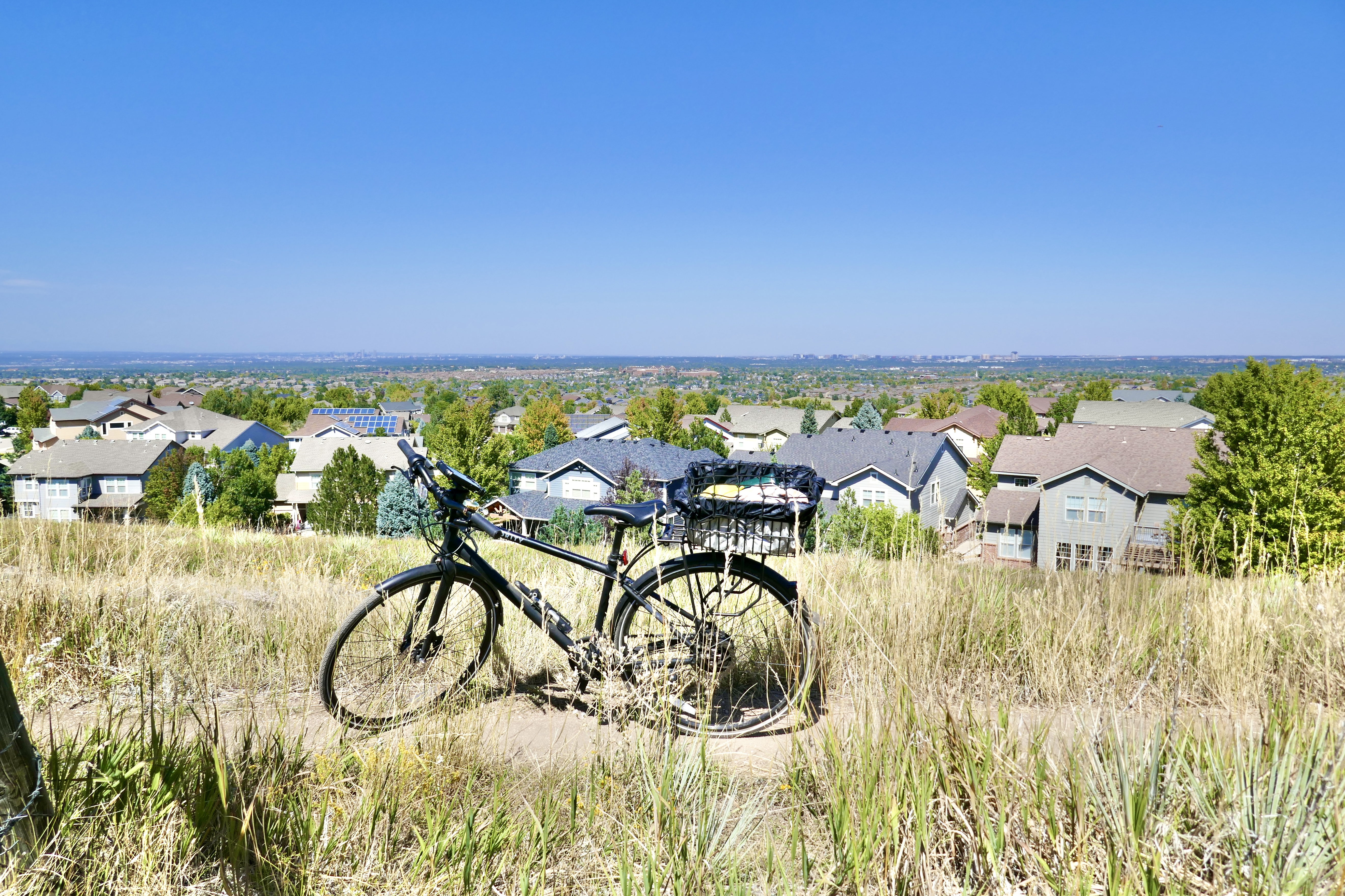
Conclusion: there’s not a lot of time difference between the two, in that direction. Taking the R is slightly shorter if it’s running on time. The bike ride is downhill almost the whole way, so it’s pretty effortless. There are no bike lanes on Peoria St (what’s up with that??) and it’s a busy street, so for everyone’s safety I rode on the sidewalks, which were empty. The return trip is slightly uphill, so taking the R makes more sense coming home.

I’ve mentioned the bike docks and bungees on the rail lines that connect to Union Station:

They also have special racks to hang multiple bikes vertically, but I’ve never needed to use them; there have always been enough bike docks for every bike on the train to have its own.

I took the A to Union Station and the N to Eastlake & 124th, and then biked back to where I’d left off at the end of Segment 22/start of Segment 23.

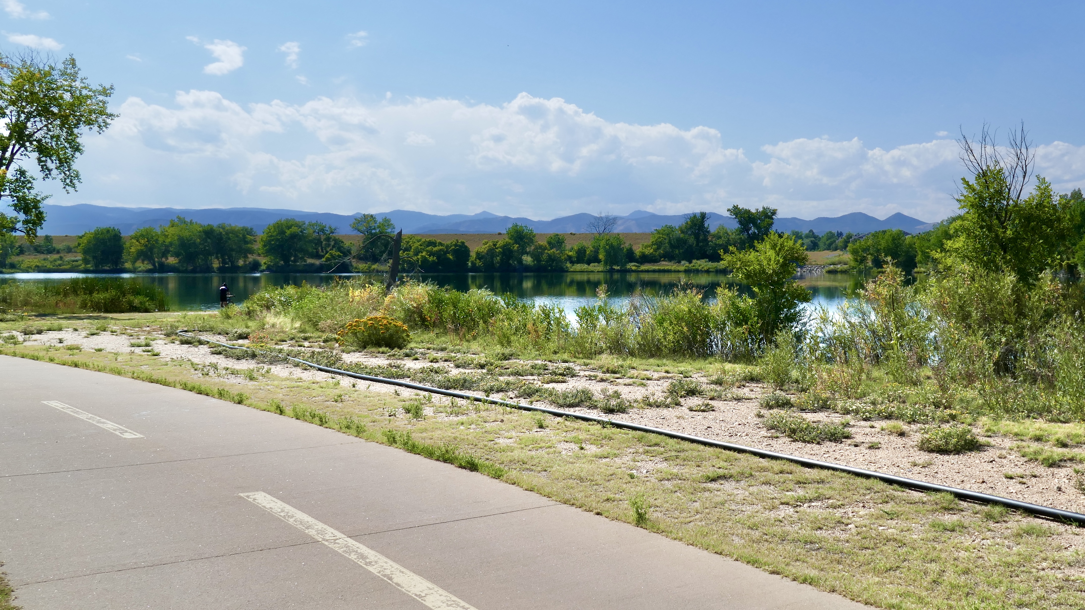
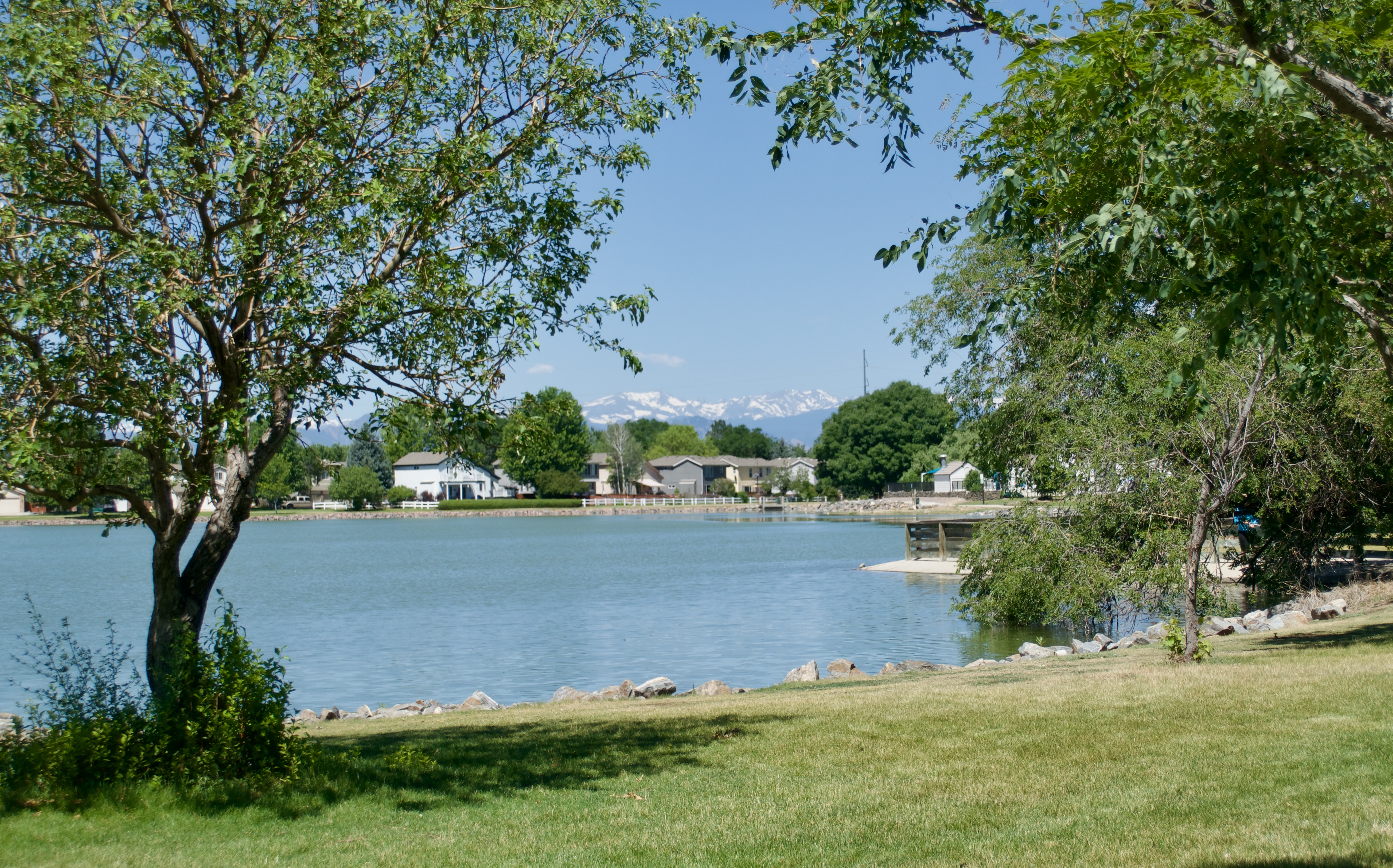
I looped around Hunter’s Glen Lake…

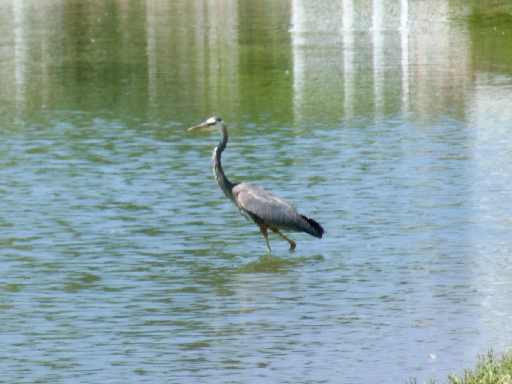
…saw a great blue heron…

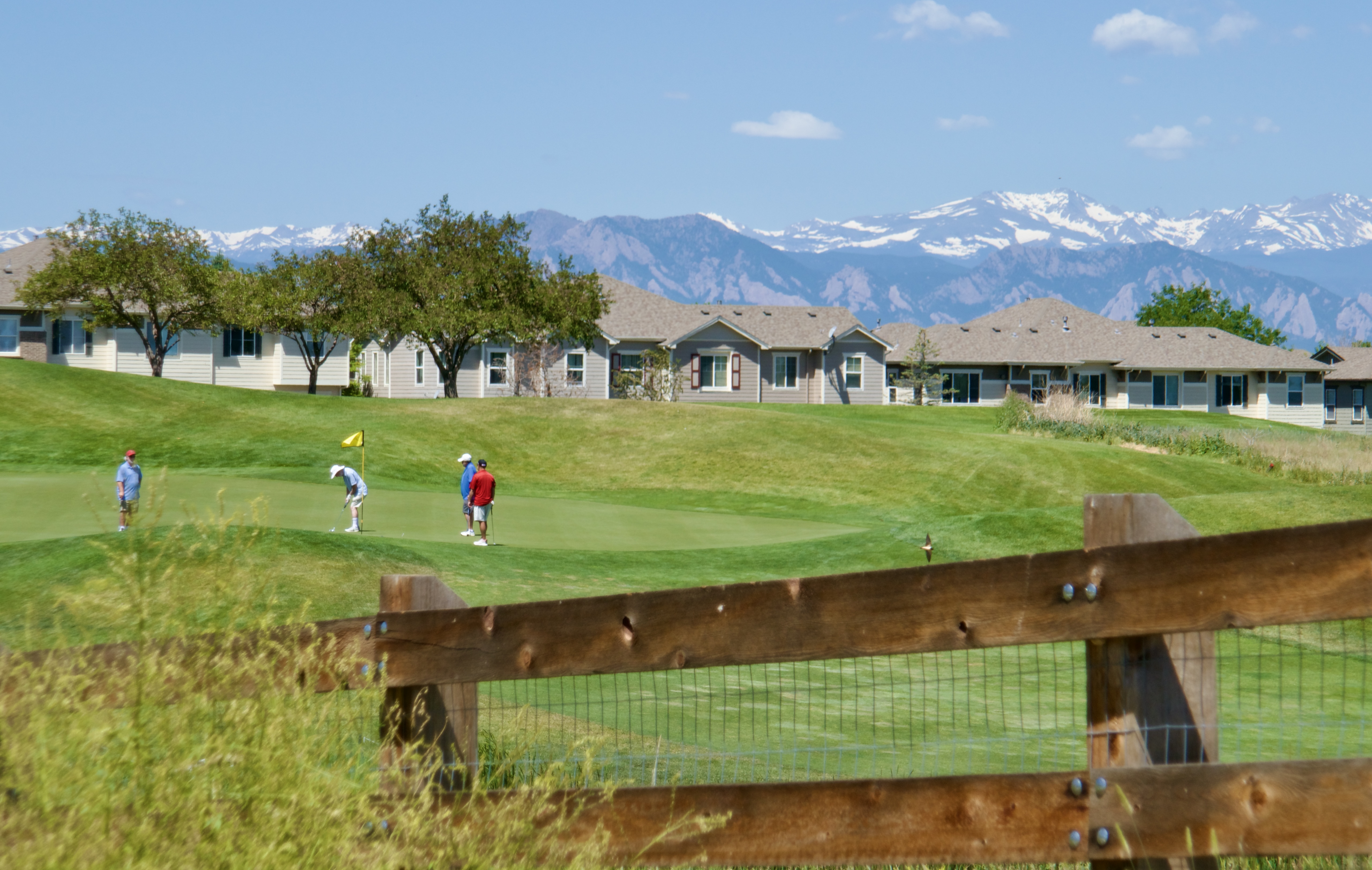
…and some scenic neighborhoods…

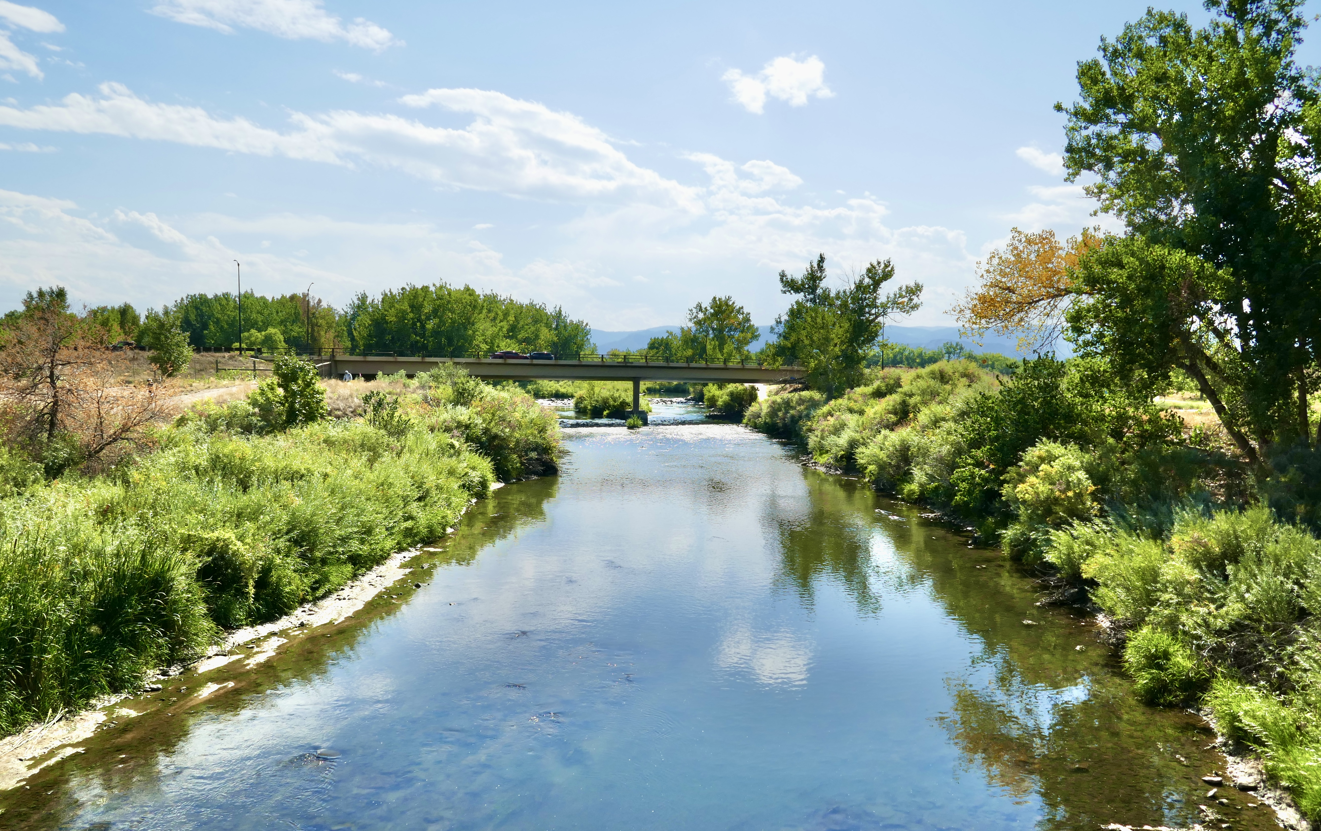
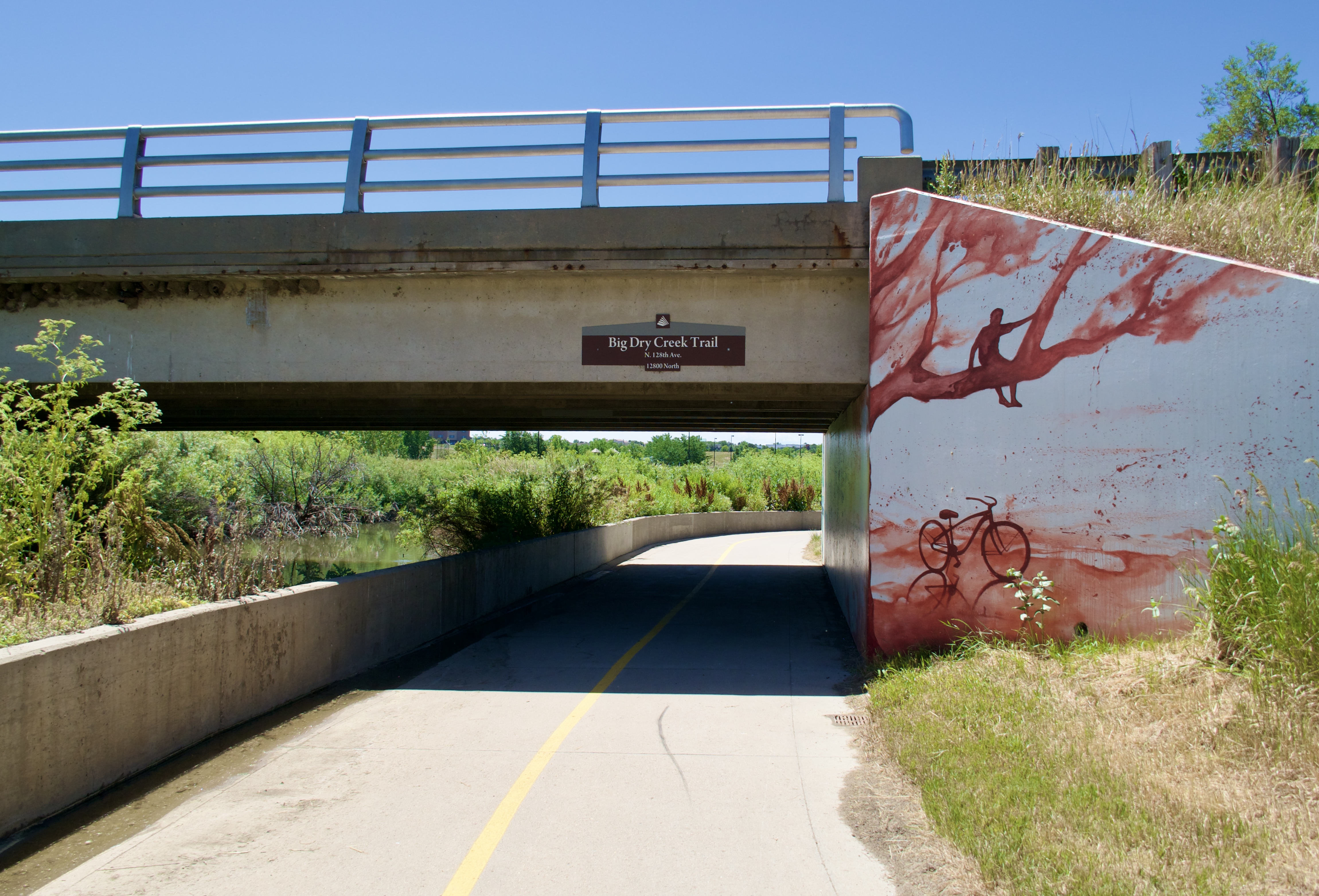
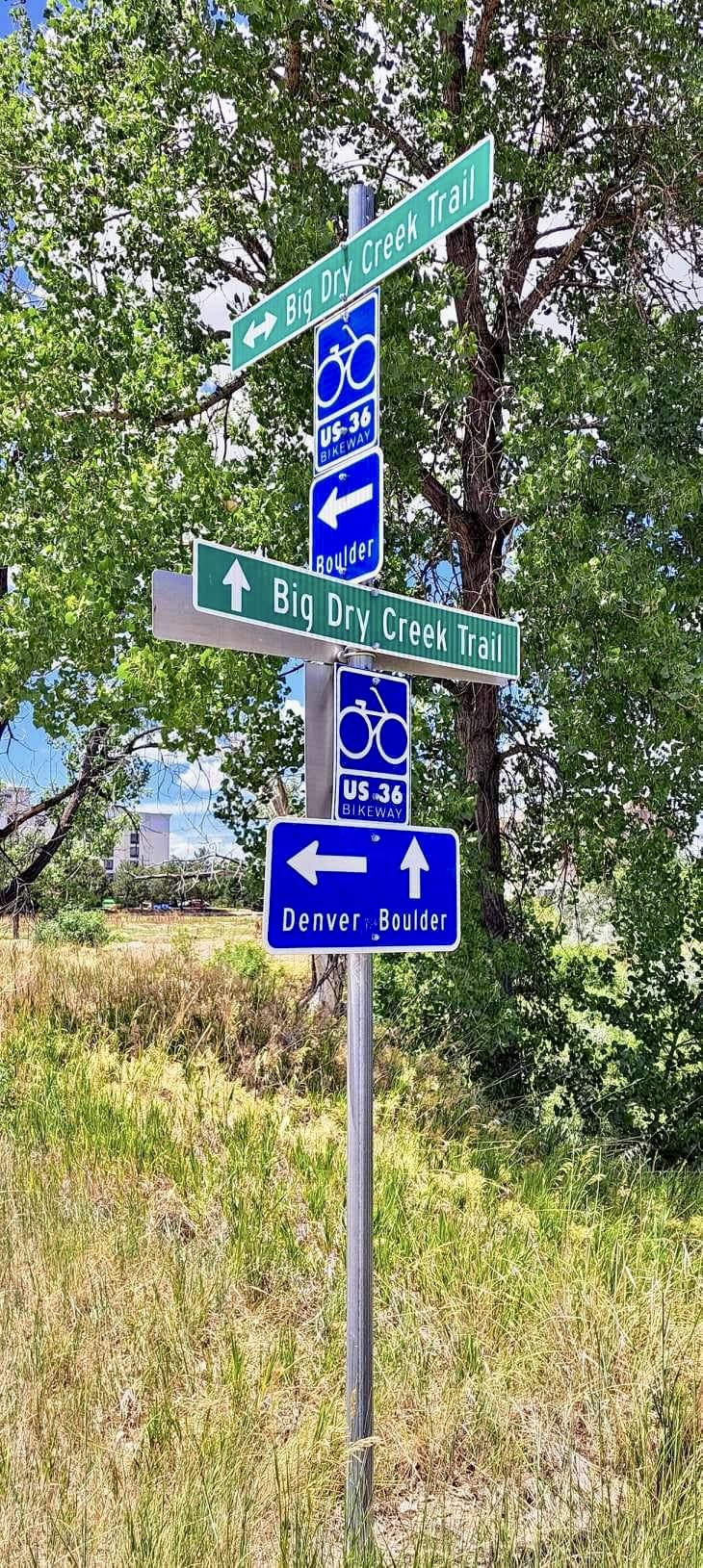
…before connecting to Big Dry Creek Trail.

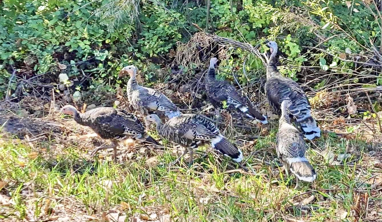
Lots of nesting swallows on this loop. Such pretty birds!


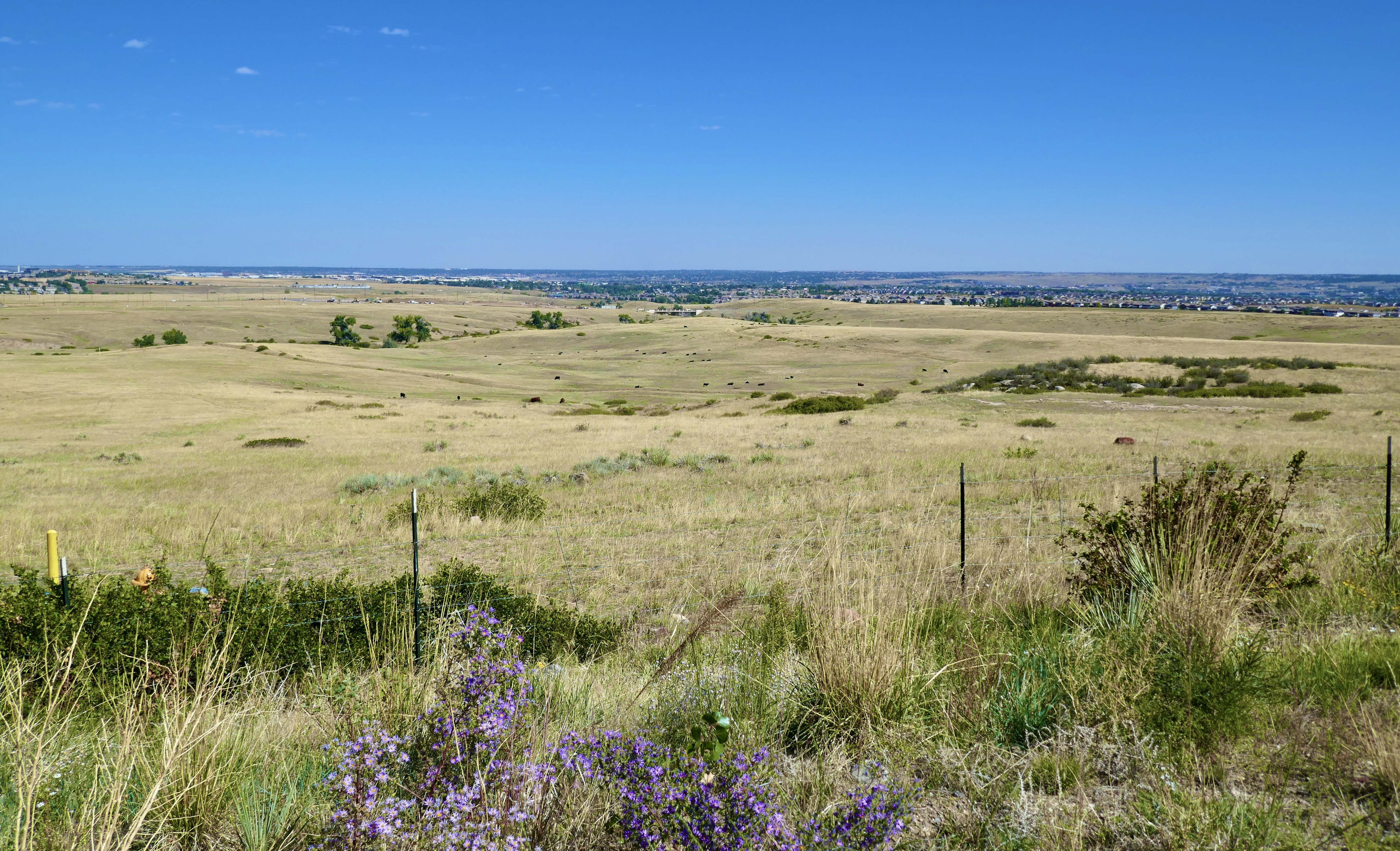
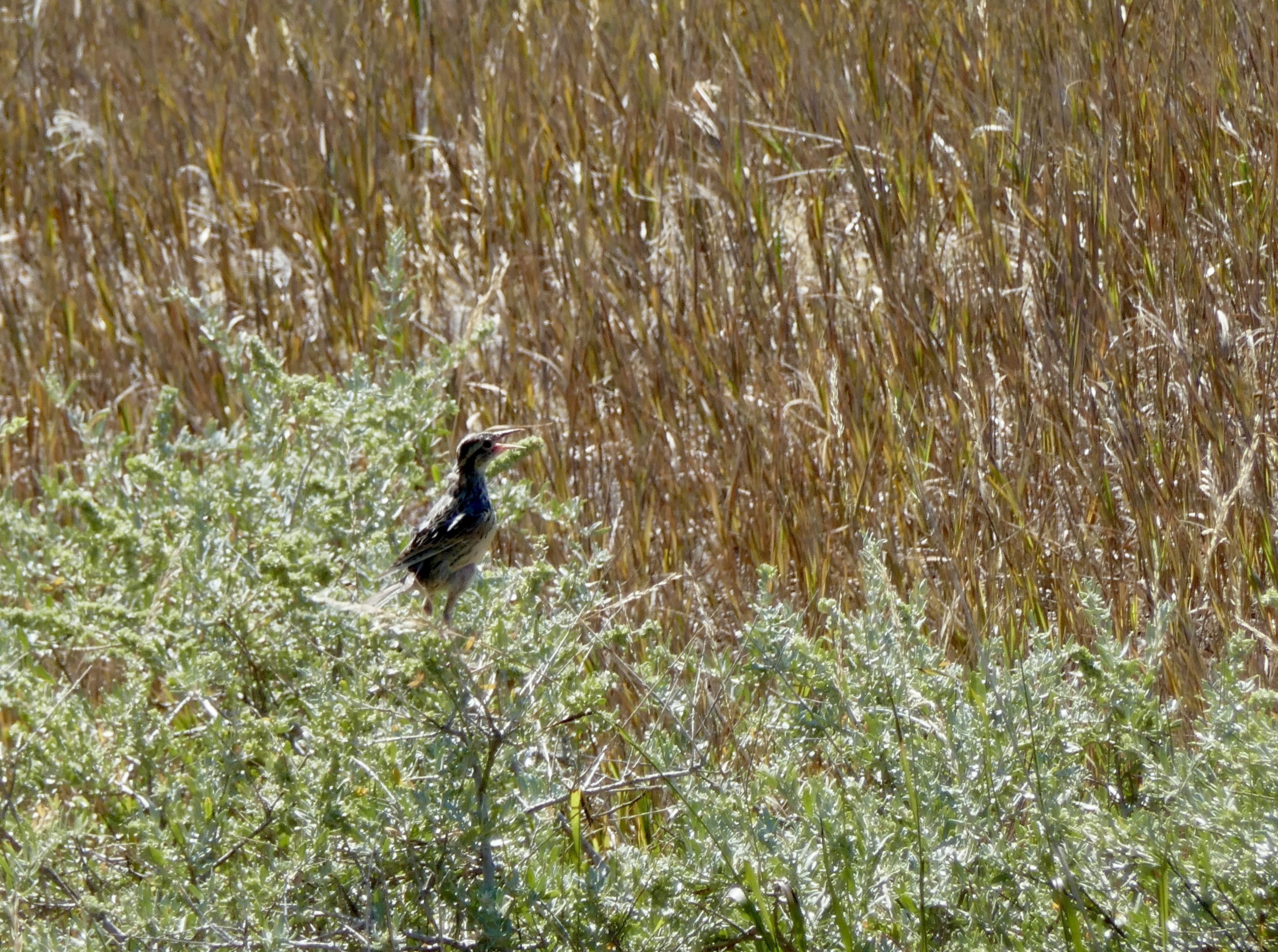
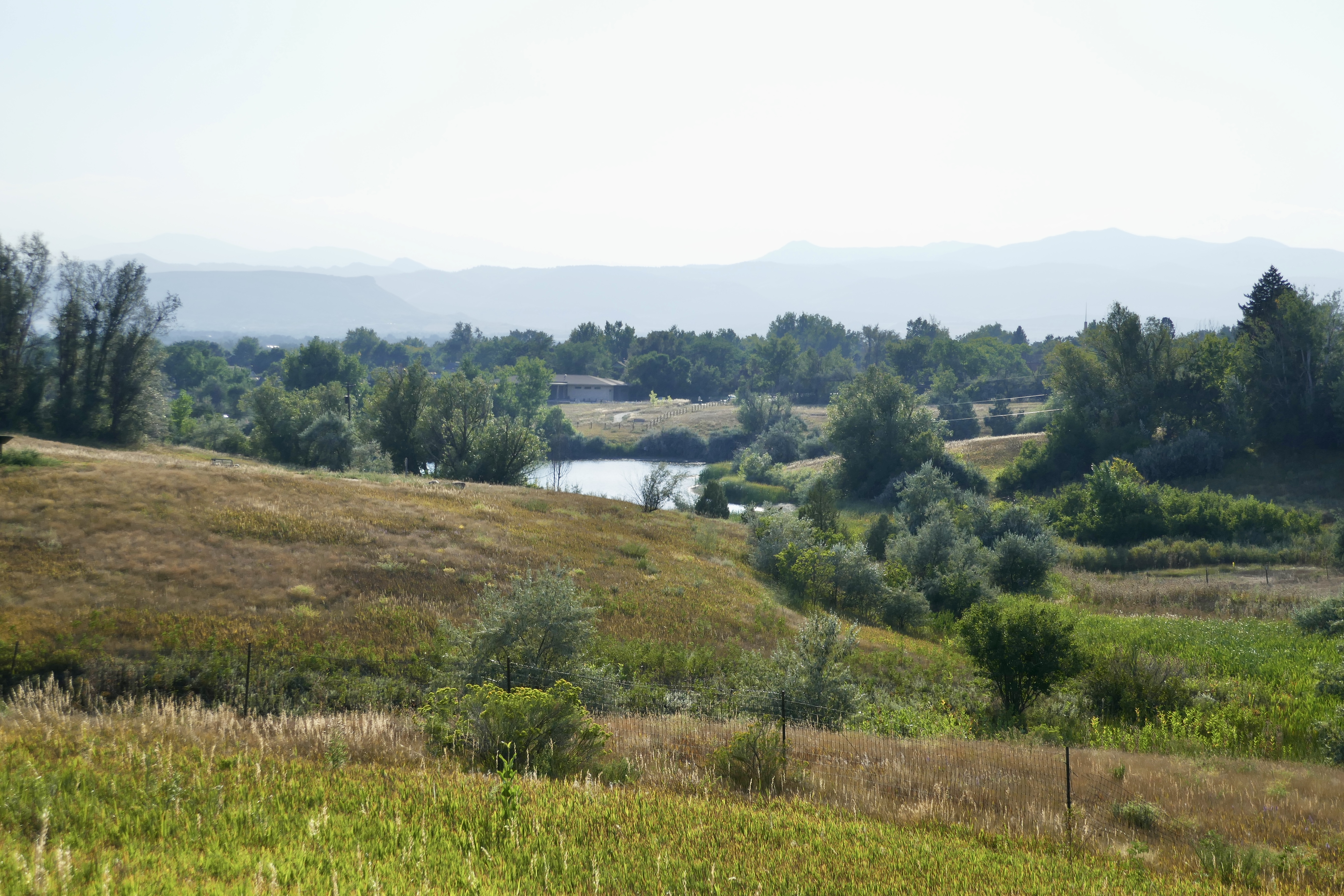
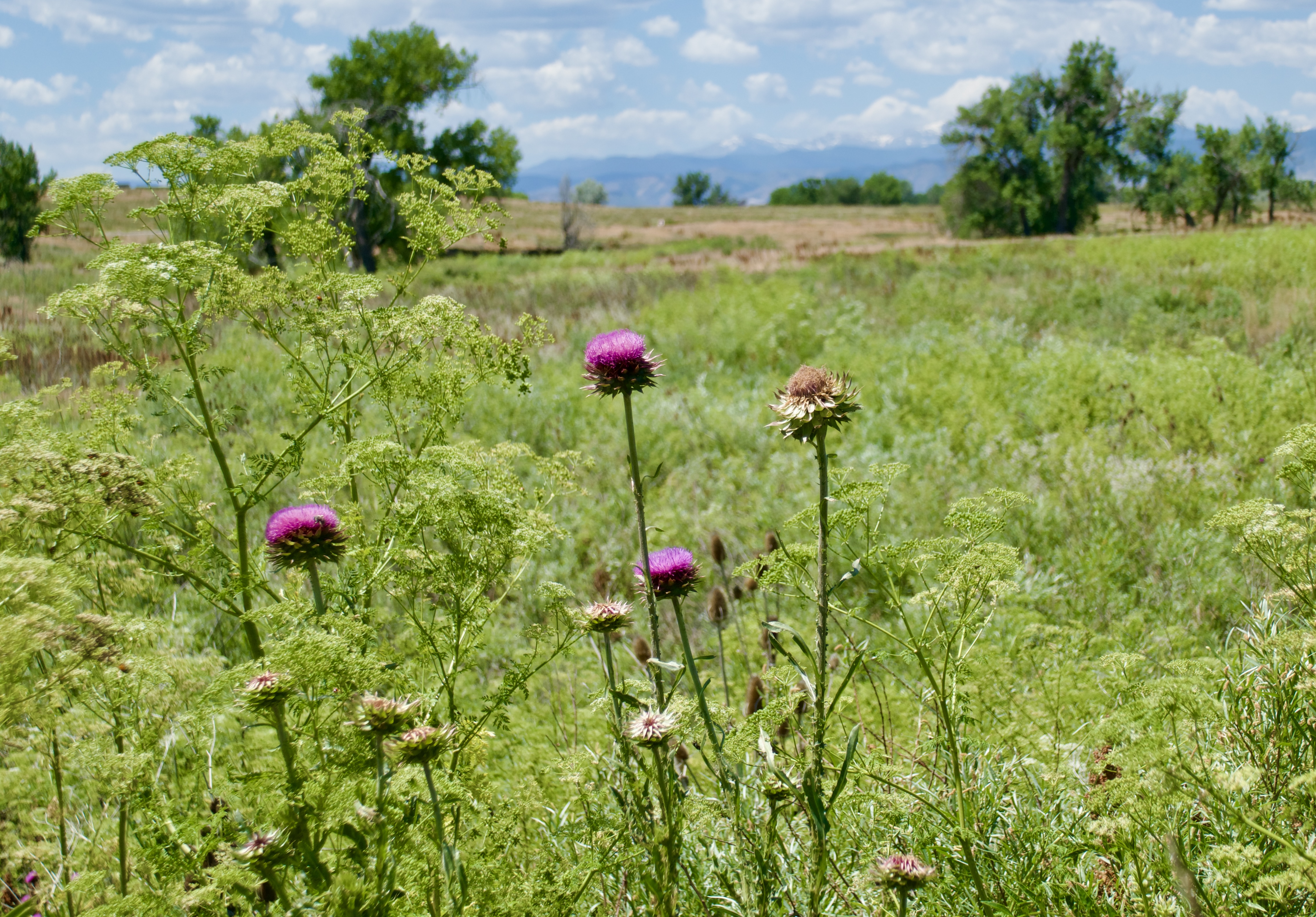
I rode through sunny meadows, fragrant with grass and soil and wildflowers and alive with birdsong, and the richness of them took me back to the wild summers of my childhood.

I lived in my senses so much more when I was younger. I used to know what month it was just by the scent of the air and the color of the sunlight.

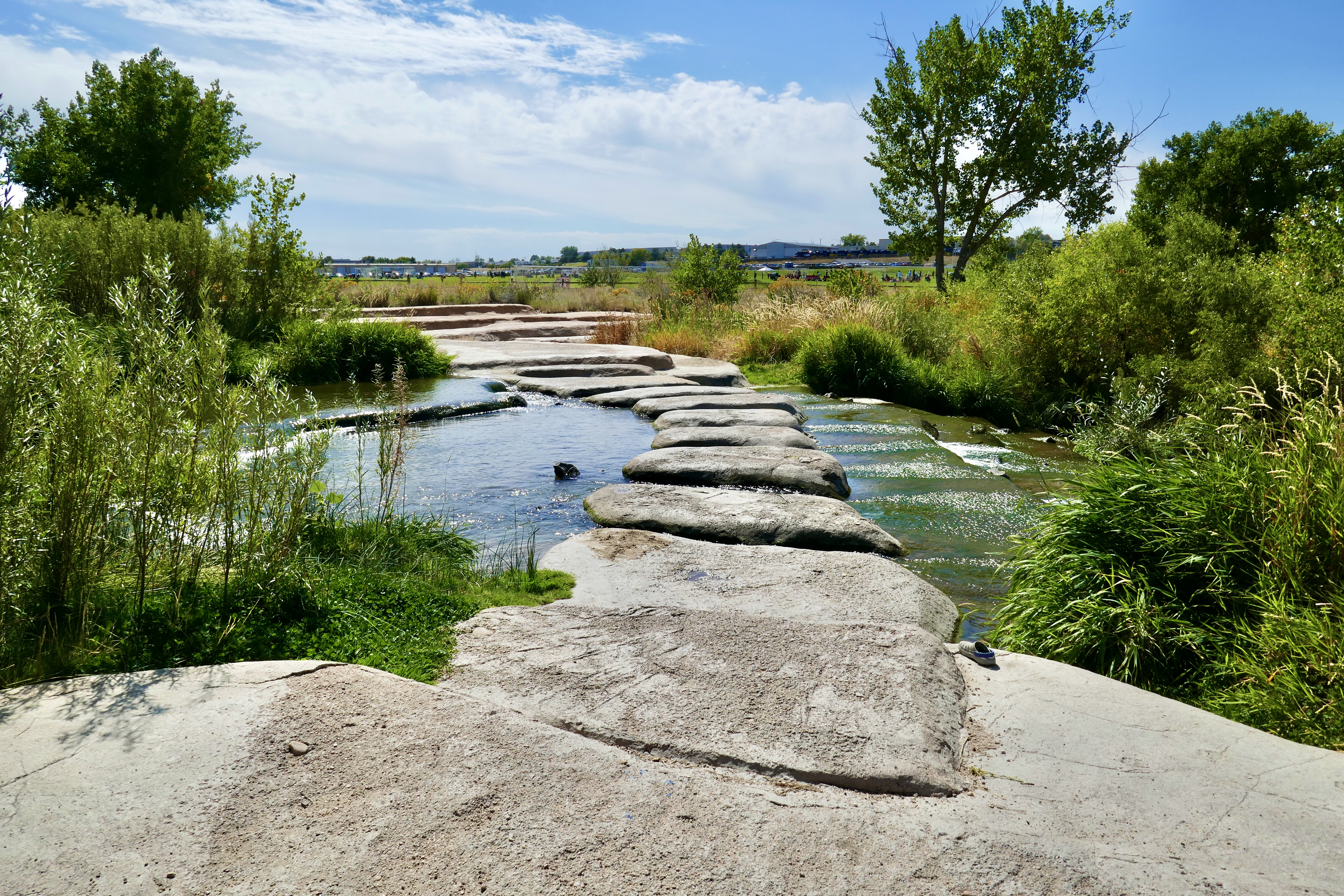
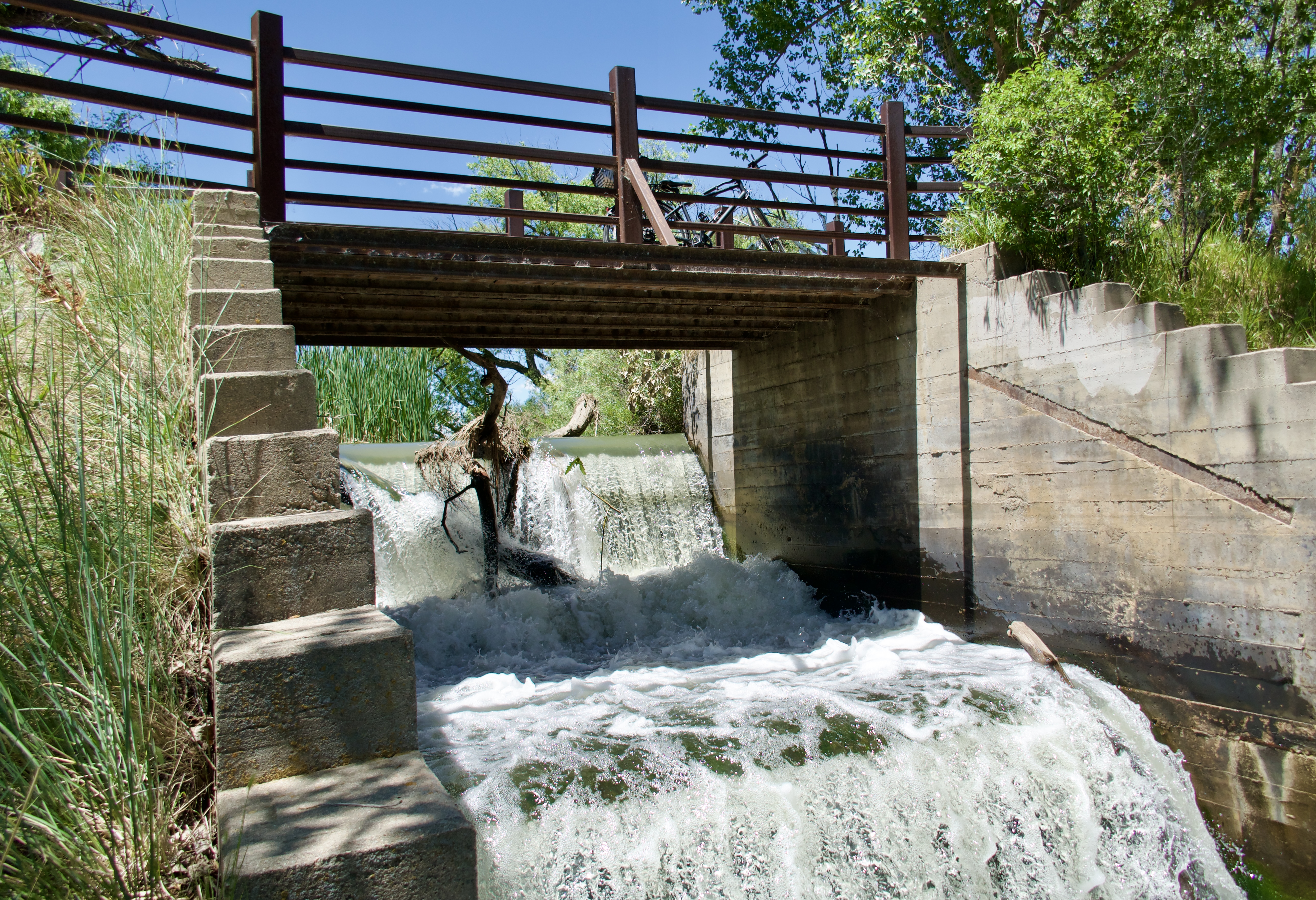
The thundering noise of this little waterfall on Big Dry Creek made me leave my bike on the bridge and walk down for a closer look.

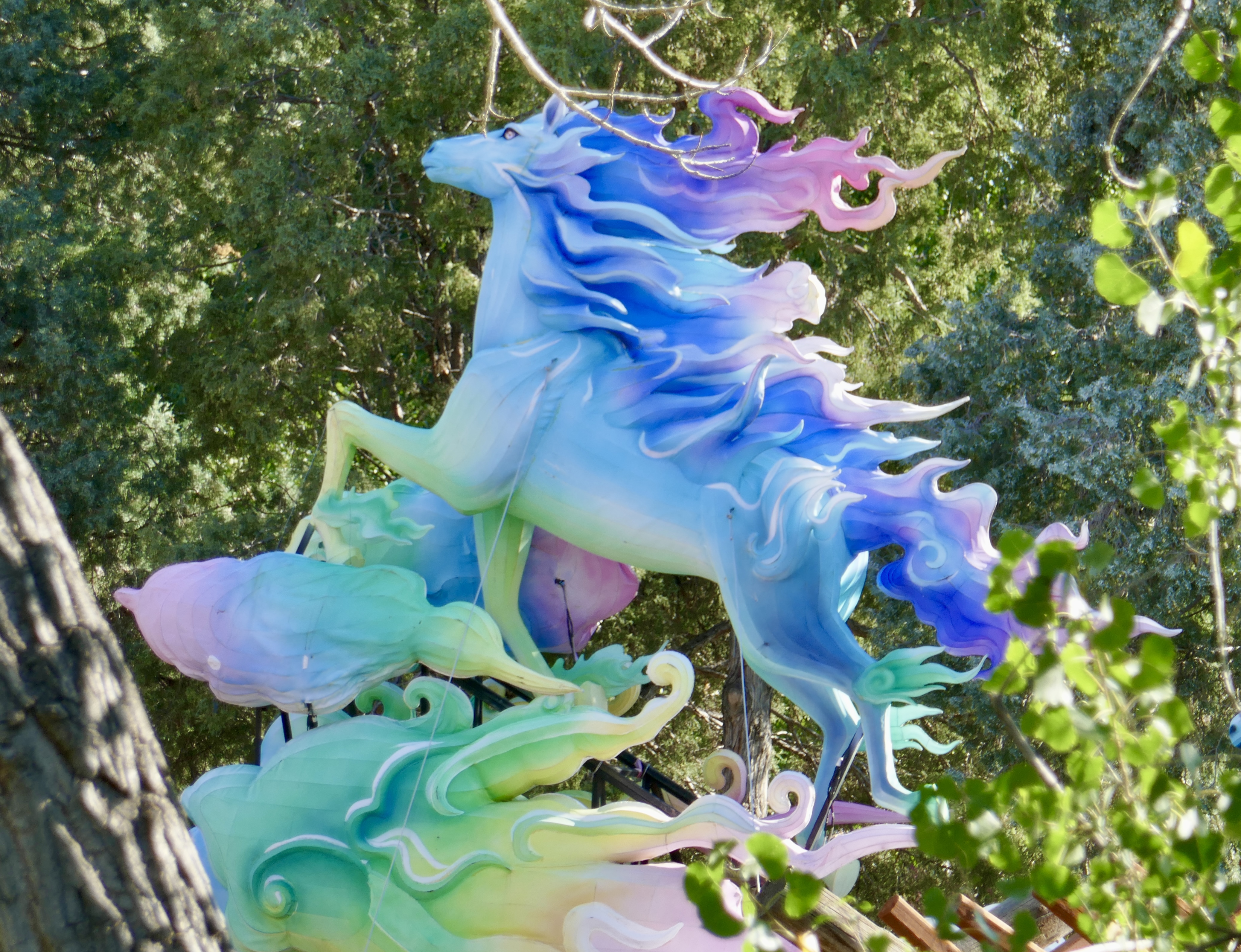
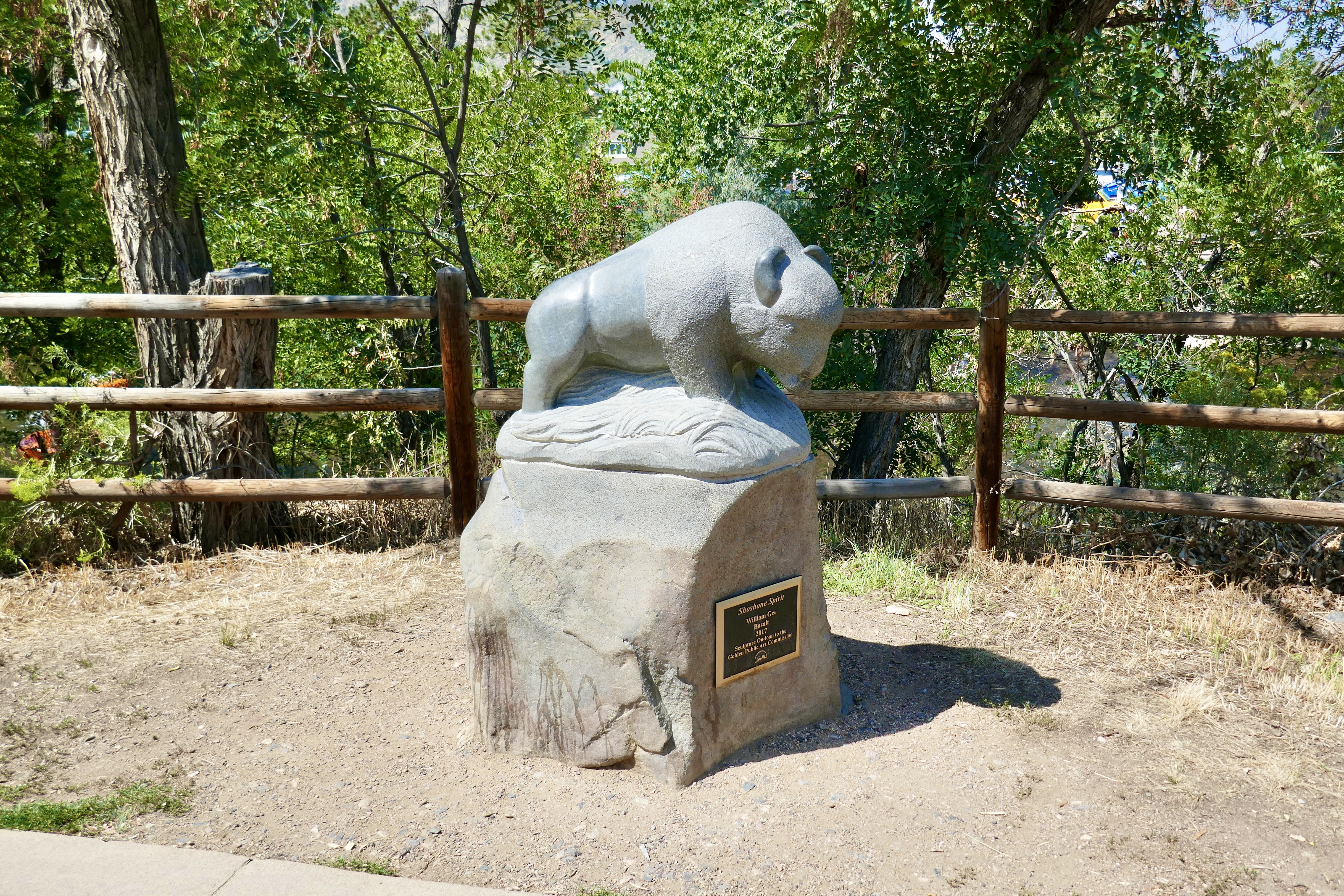
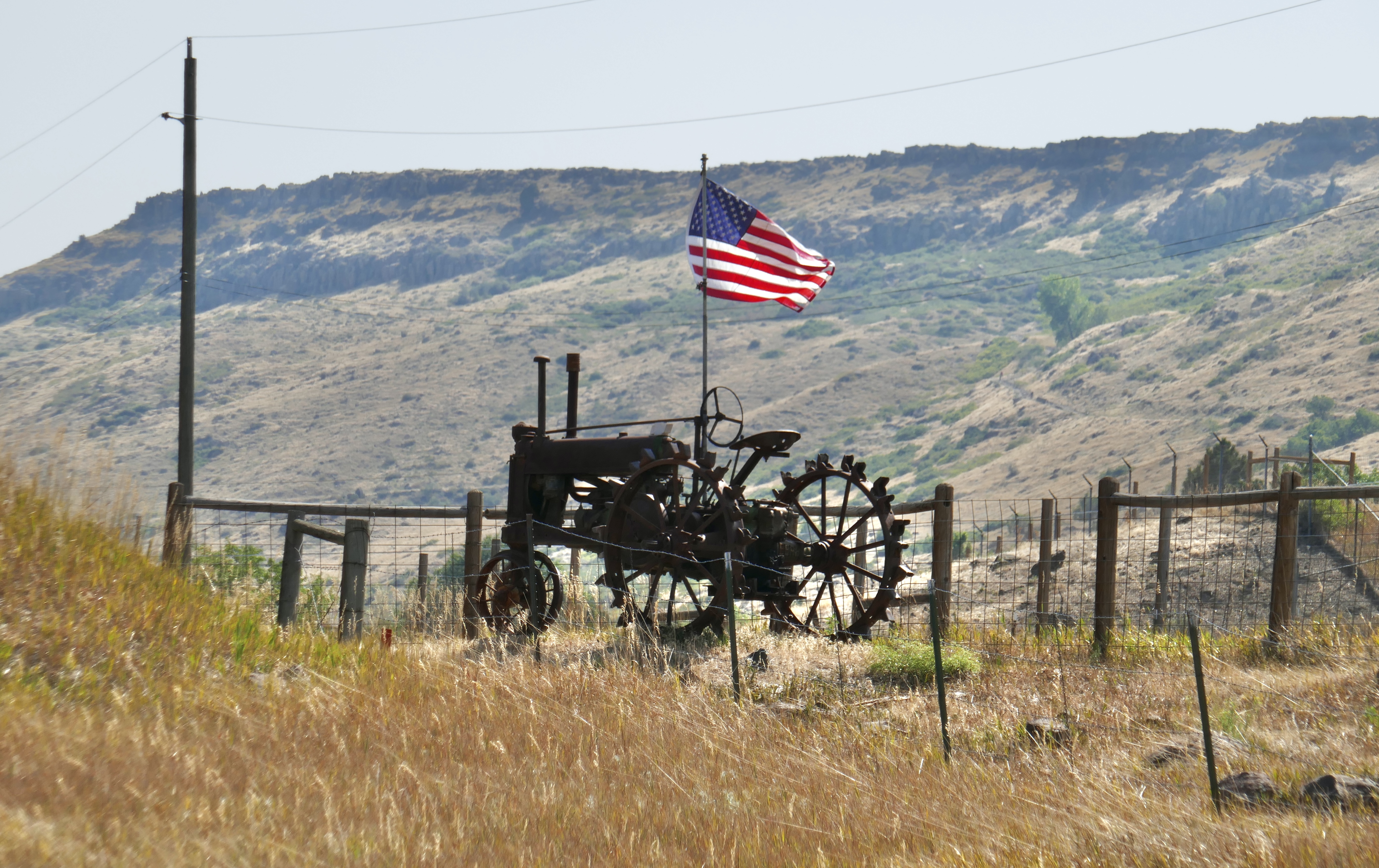
In a random open space in Westminster I found this majestic fellow. He swivels like a weathervane.

Eventually found a nice shady spot along the trail to stop for lunch. By now I’d done the math and realized that this was going to be an all-day ride. But the trails were wonderful, so I didn’t mind at all.

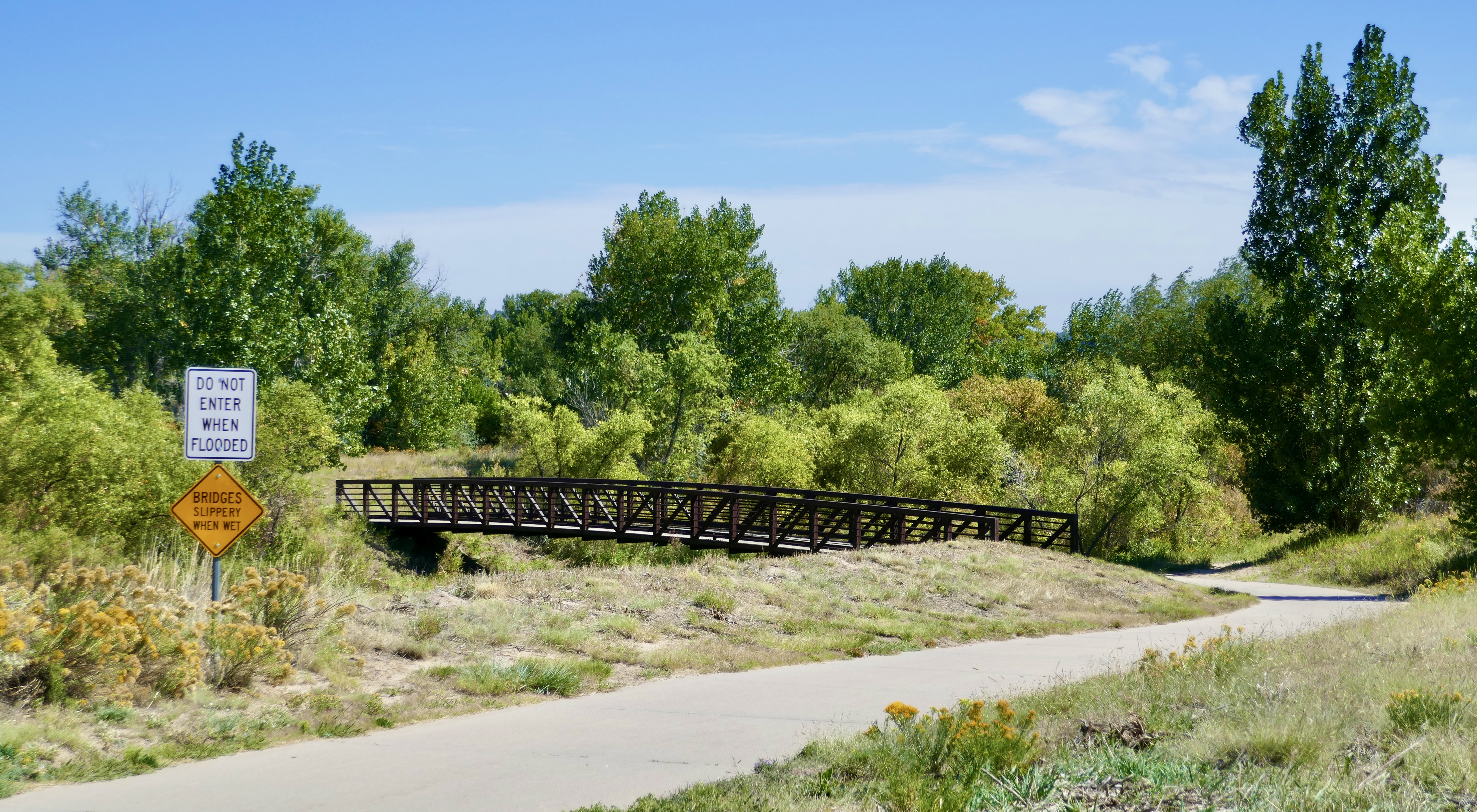
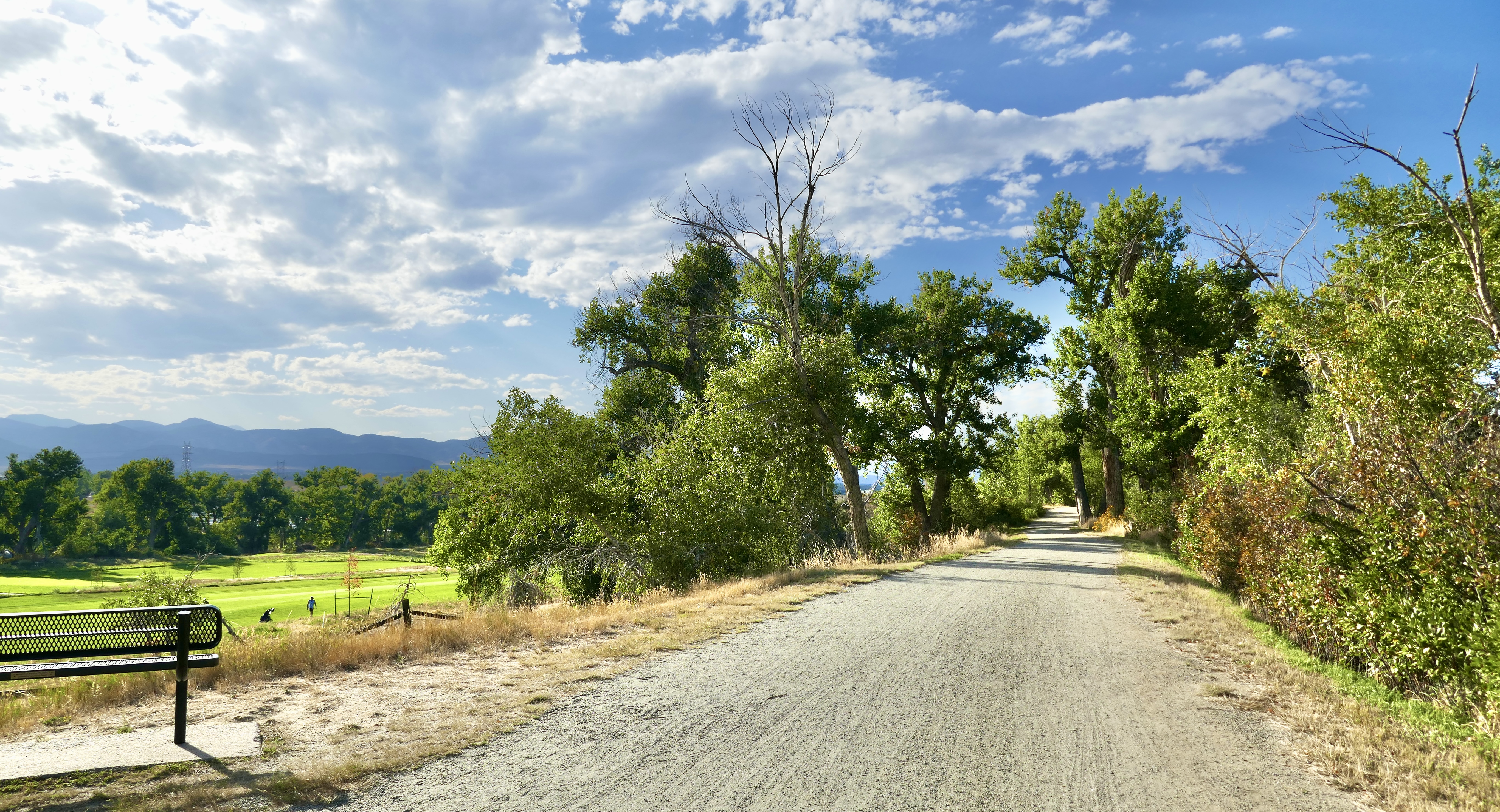
Colorado takes its bike trail network very seriously!

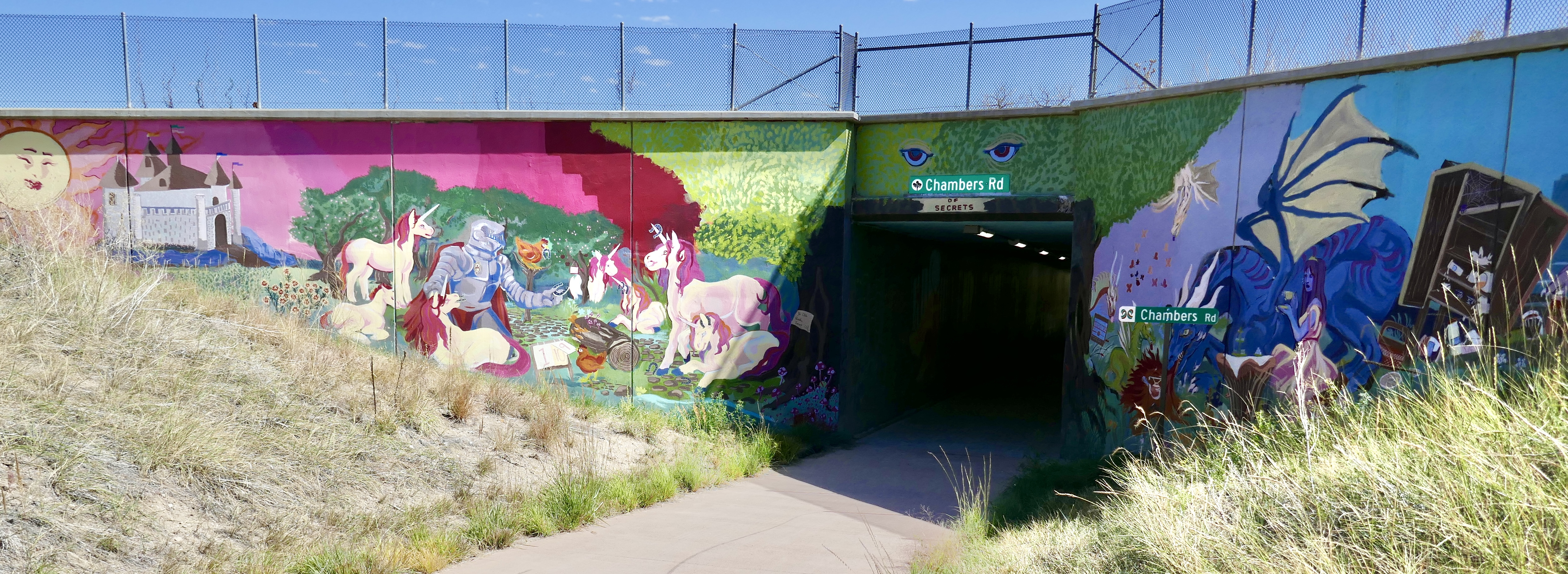
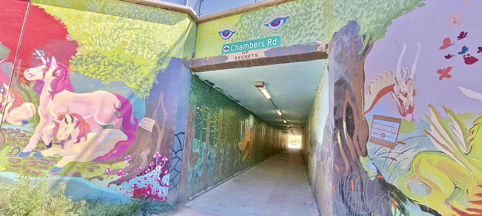
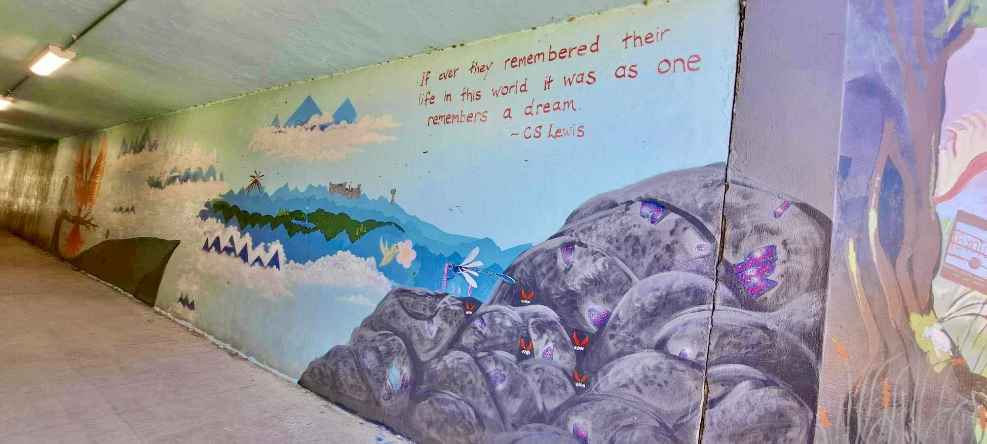
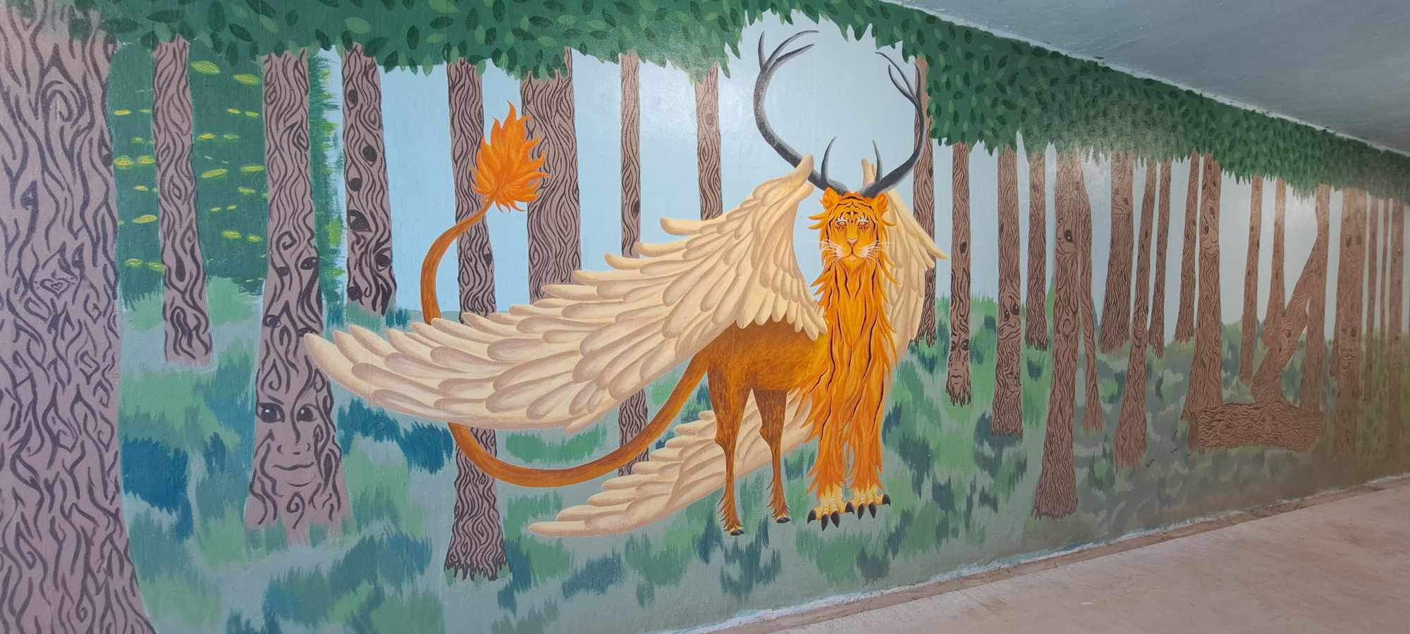
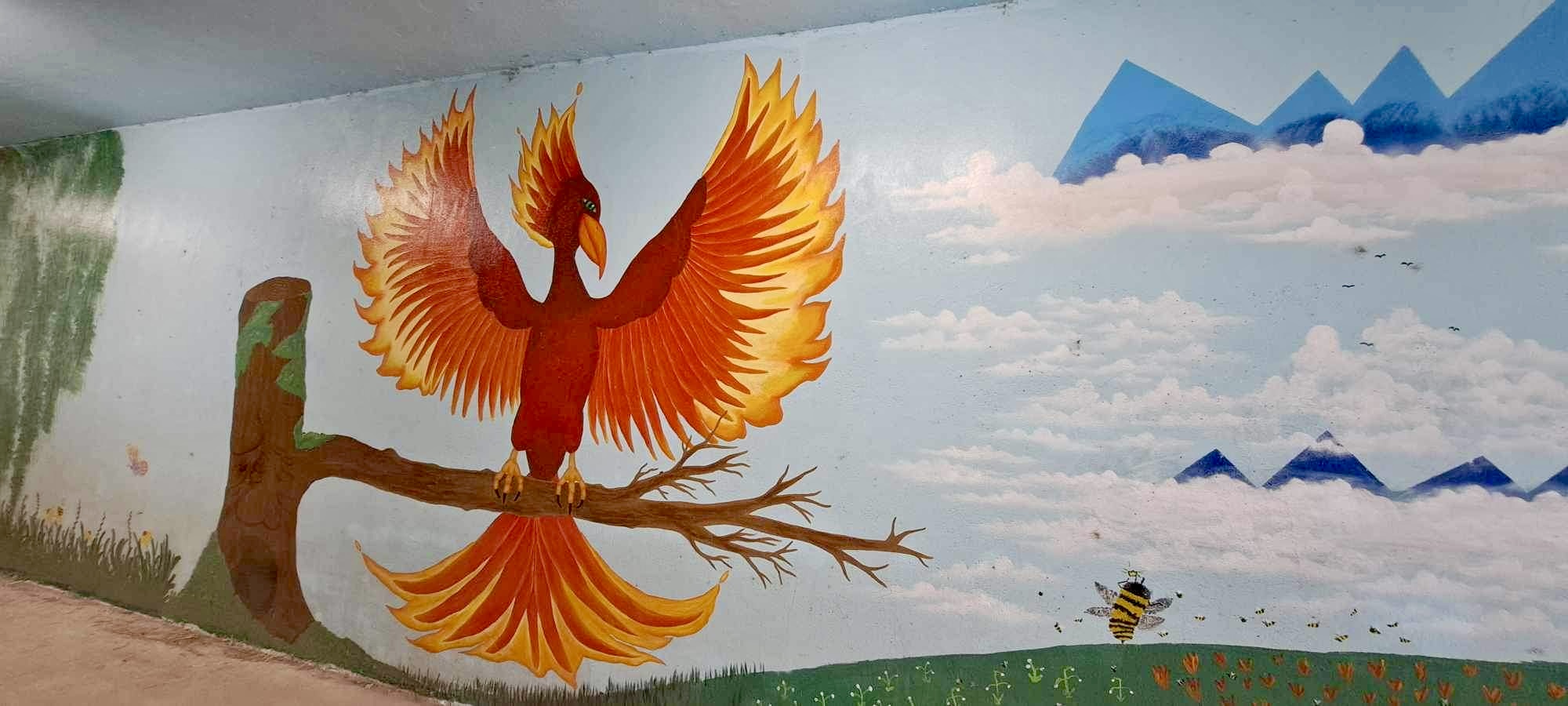
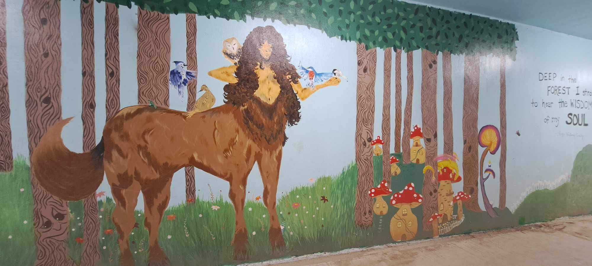
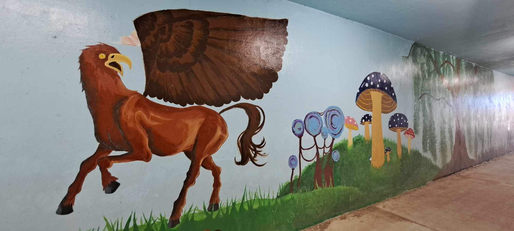
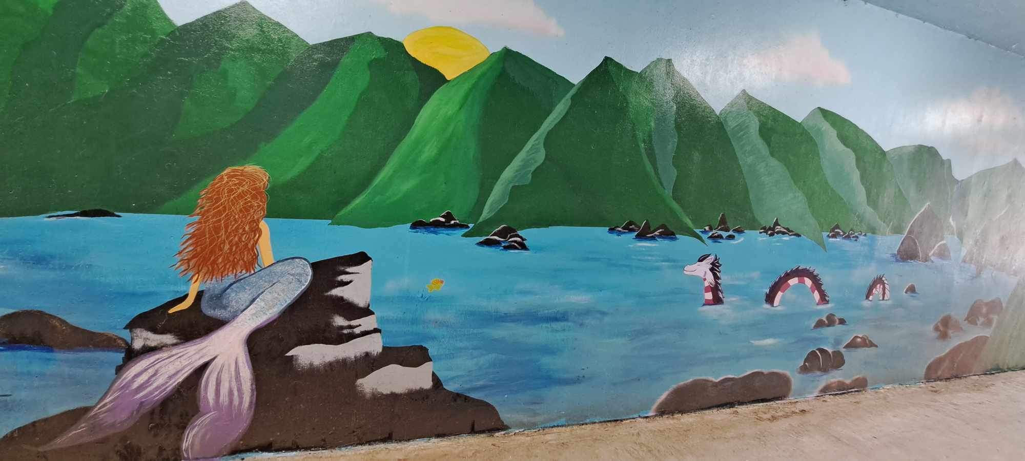
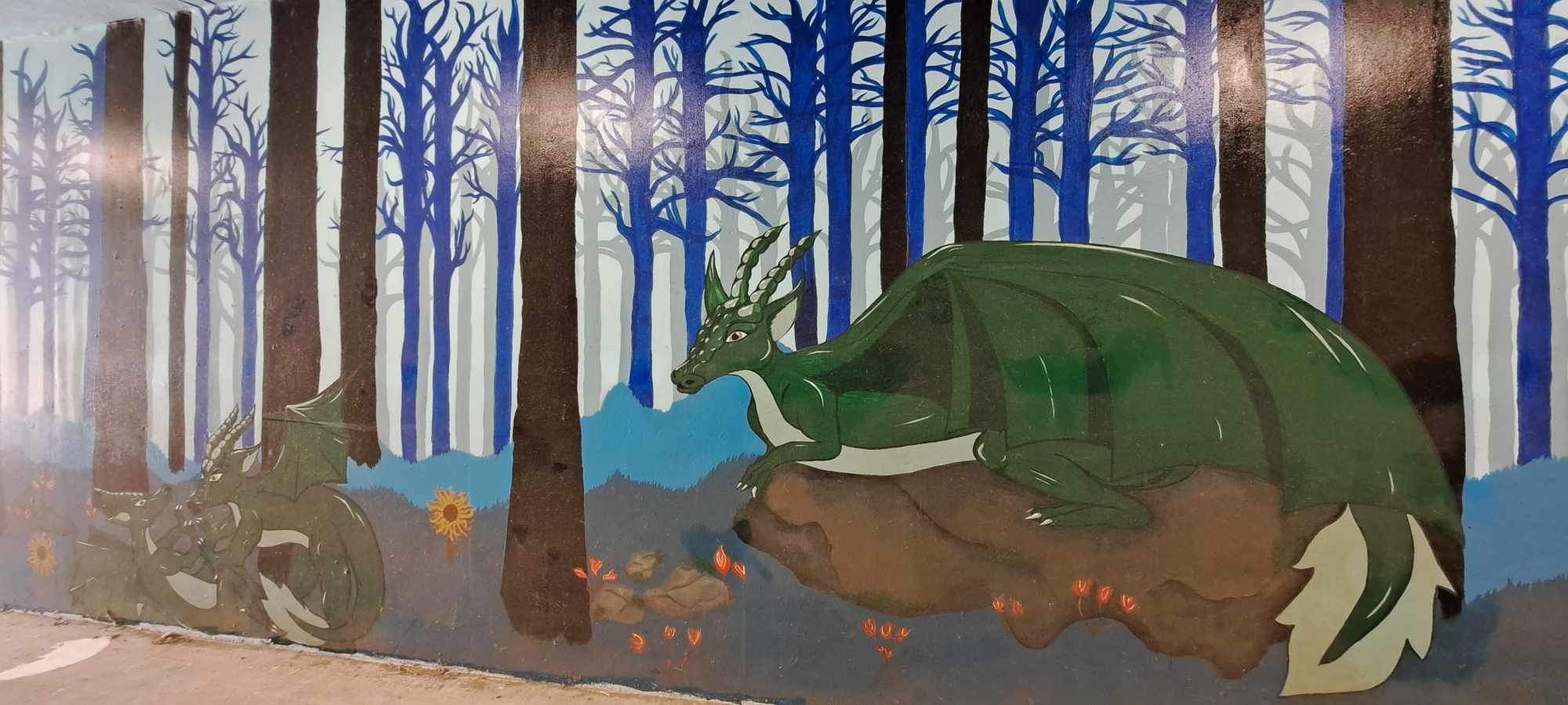
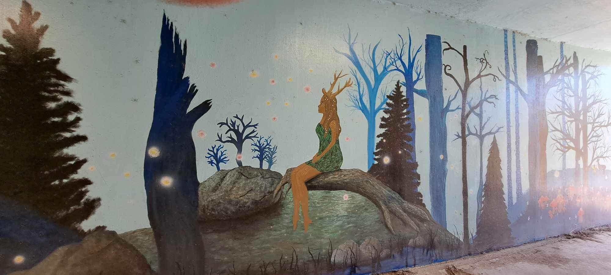
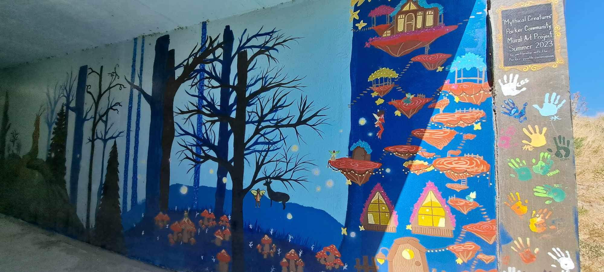
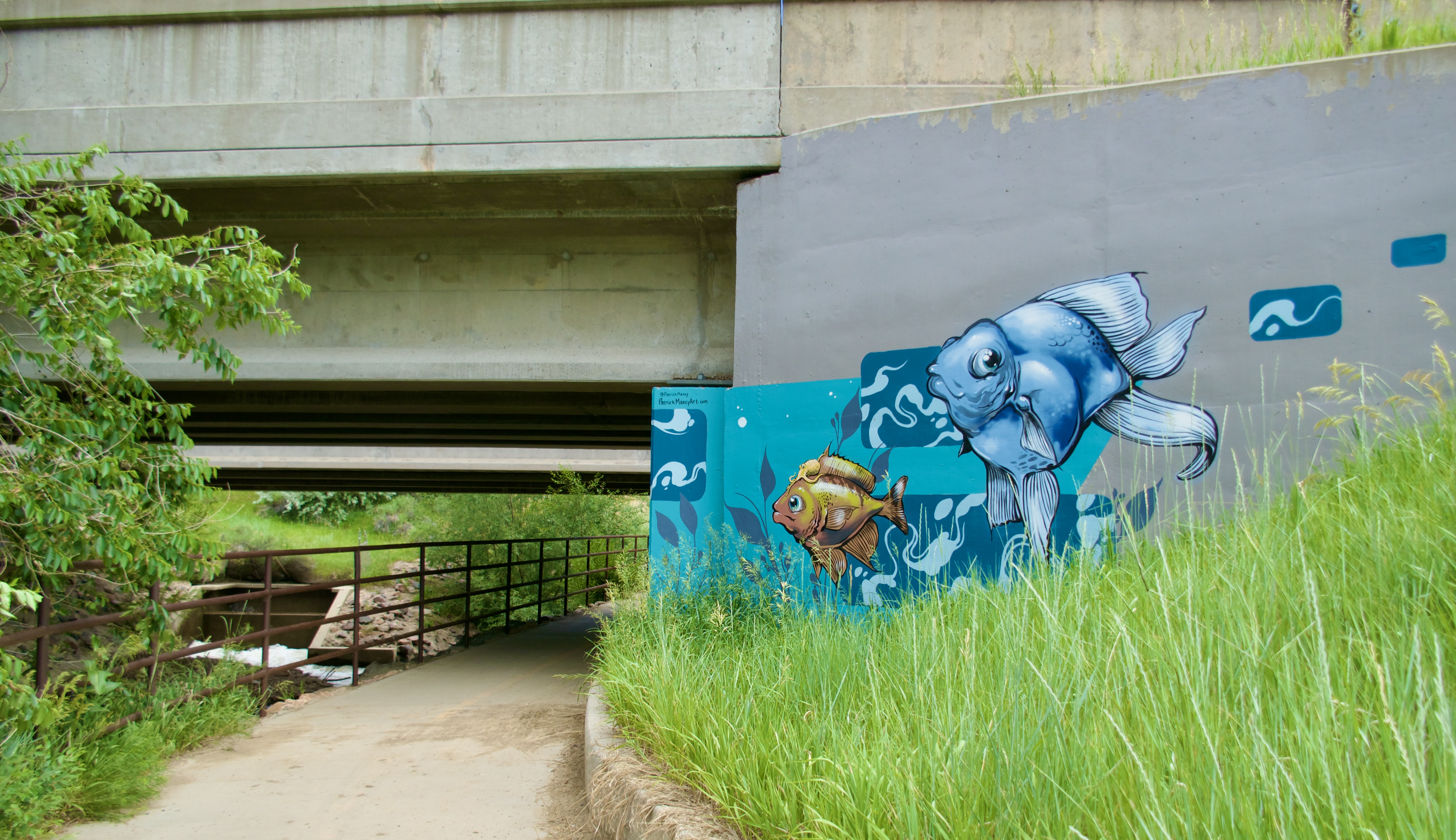
Segment 24 is where I discovered the art of Patrick Maxcy.

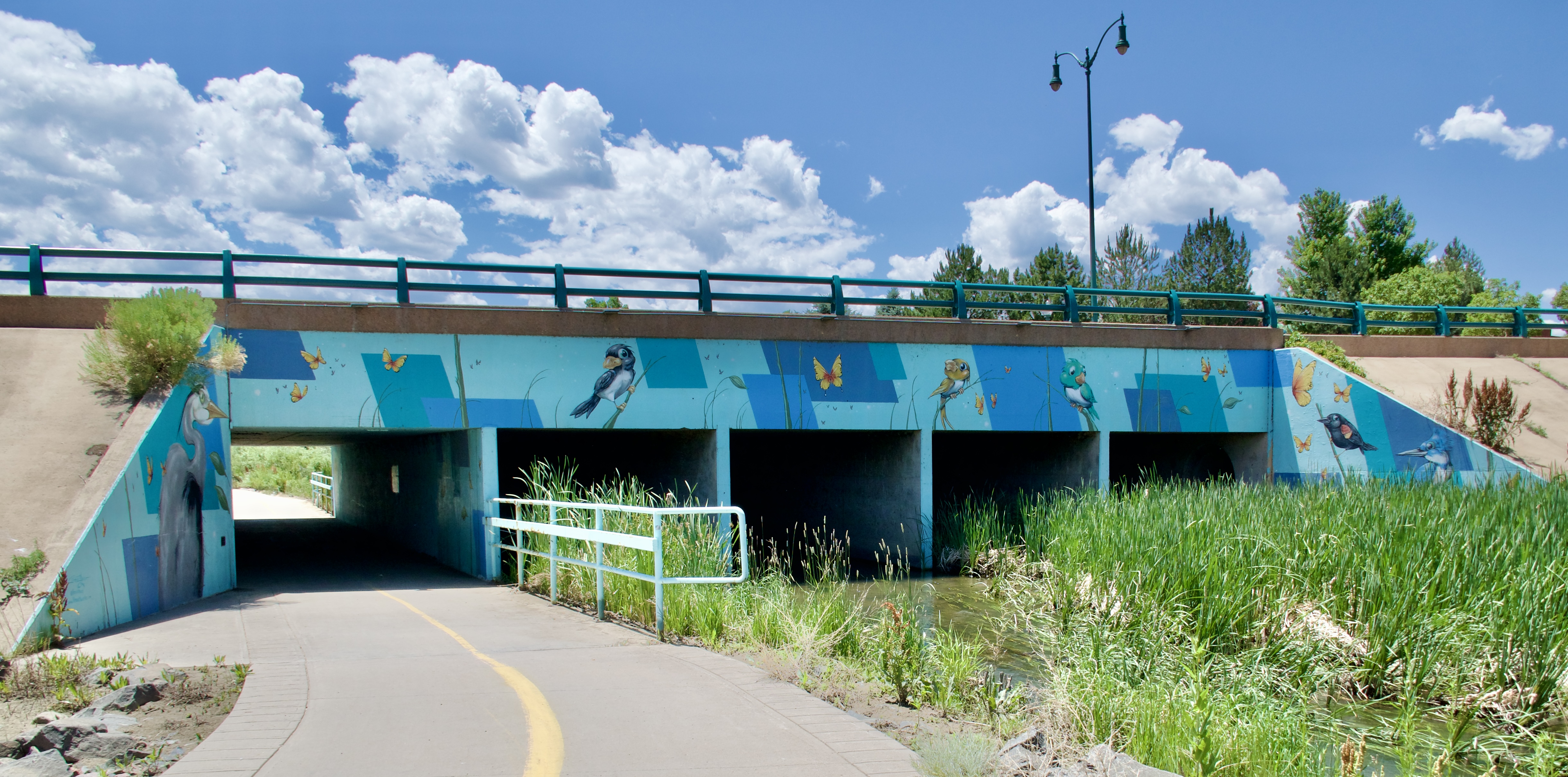
This overpass near the Butterfly Pavilion features local birds on one side…

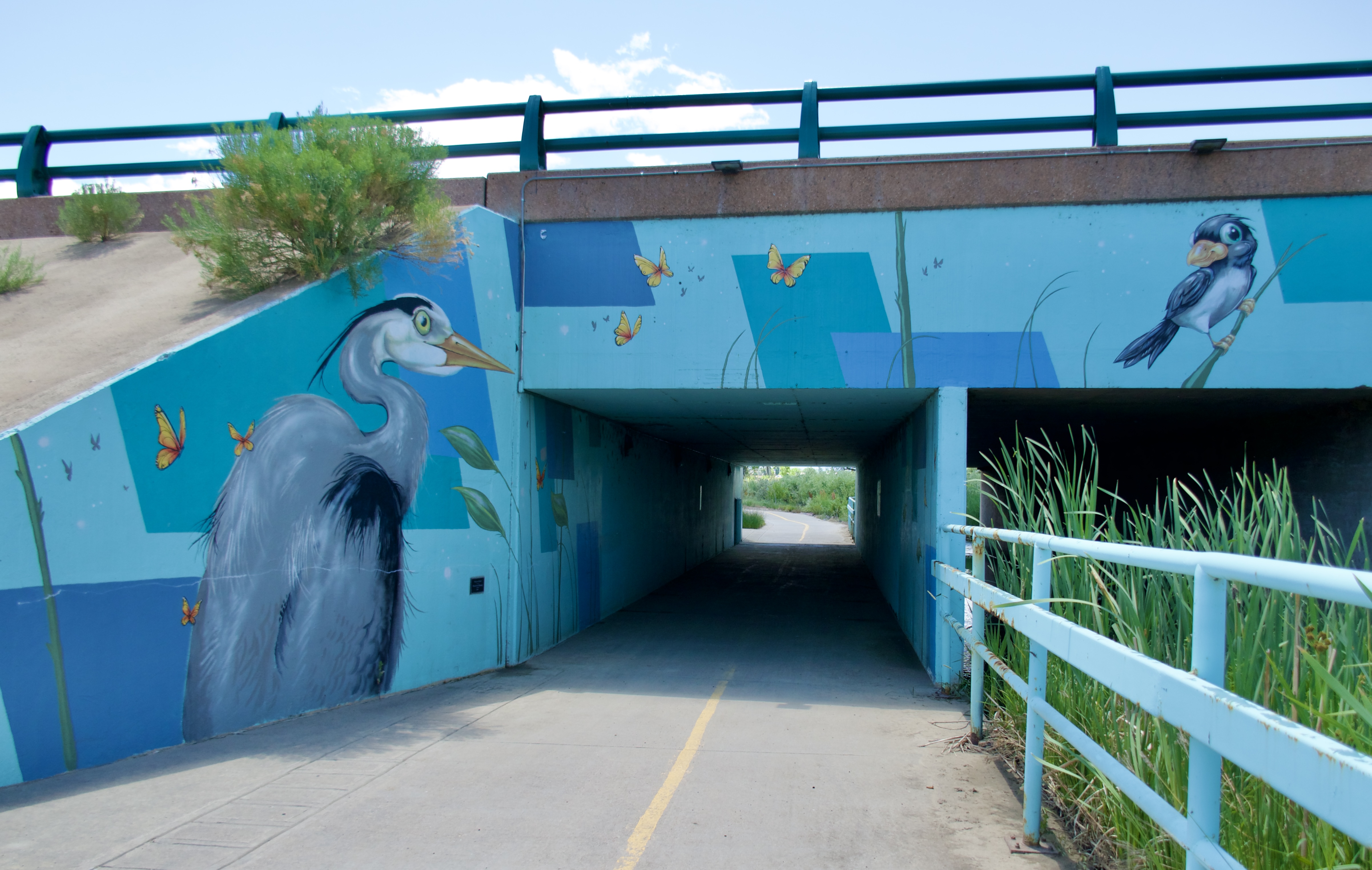
…and local fish on the other.
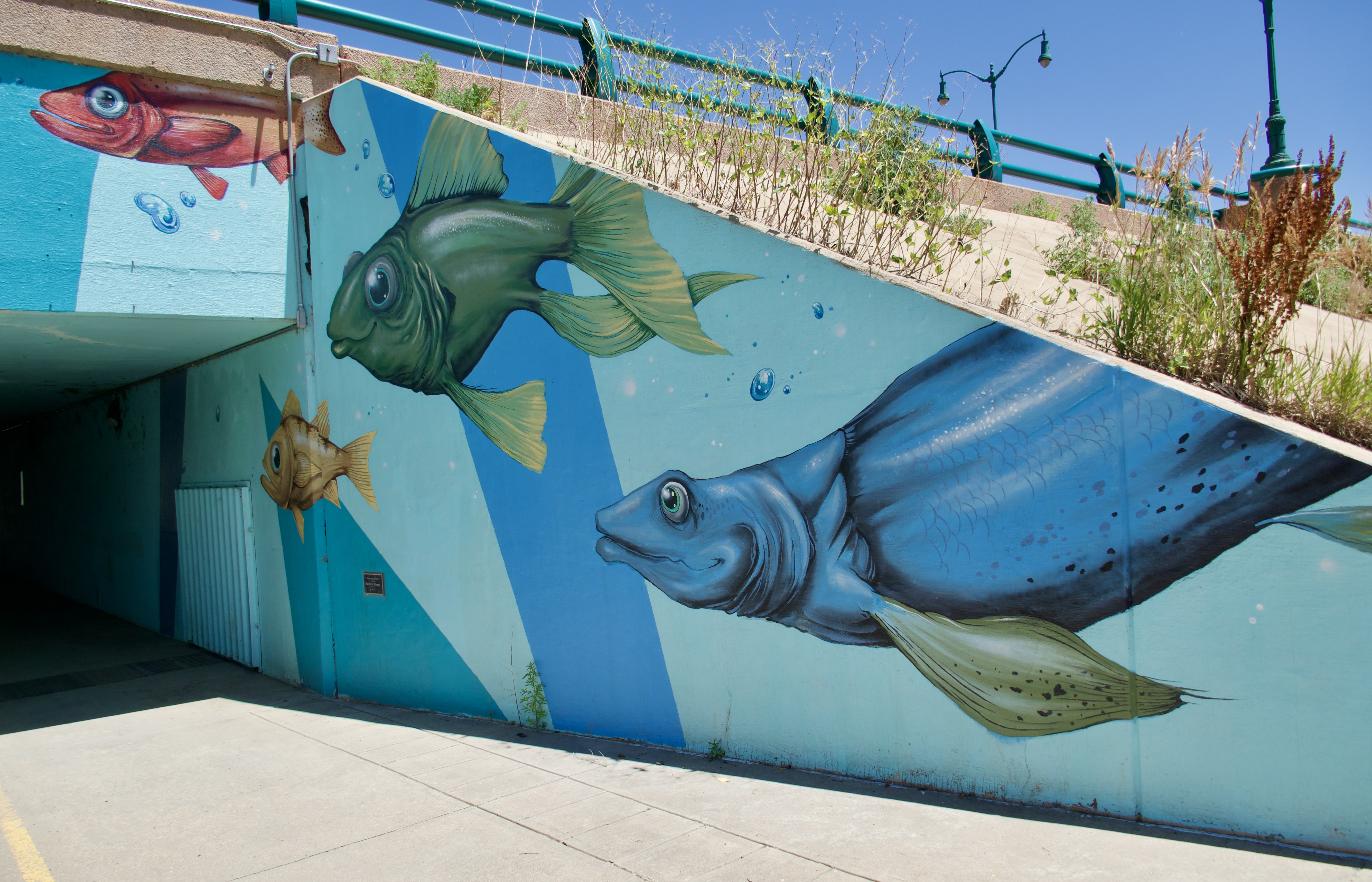
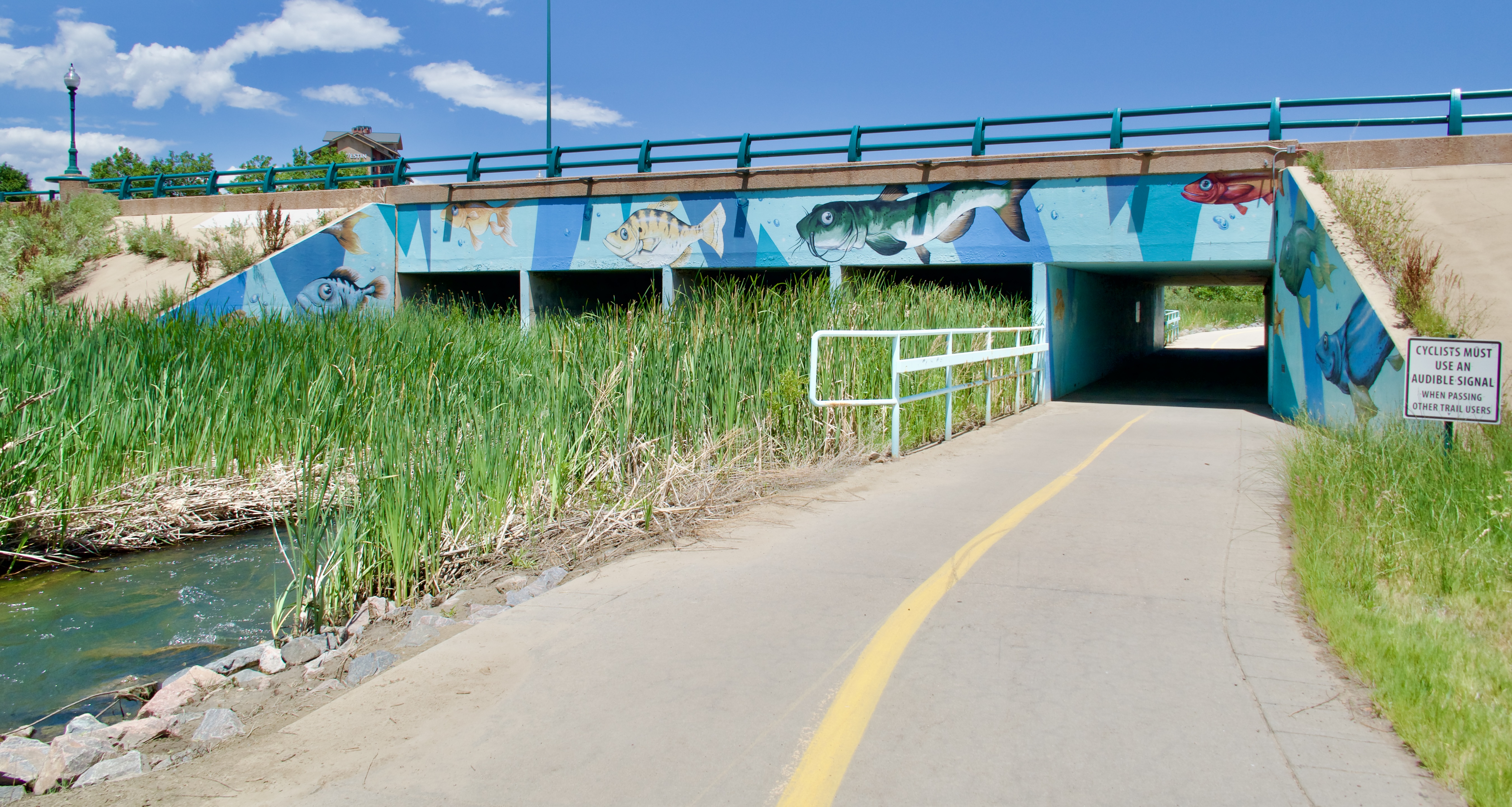
Here’s another one:

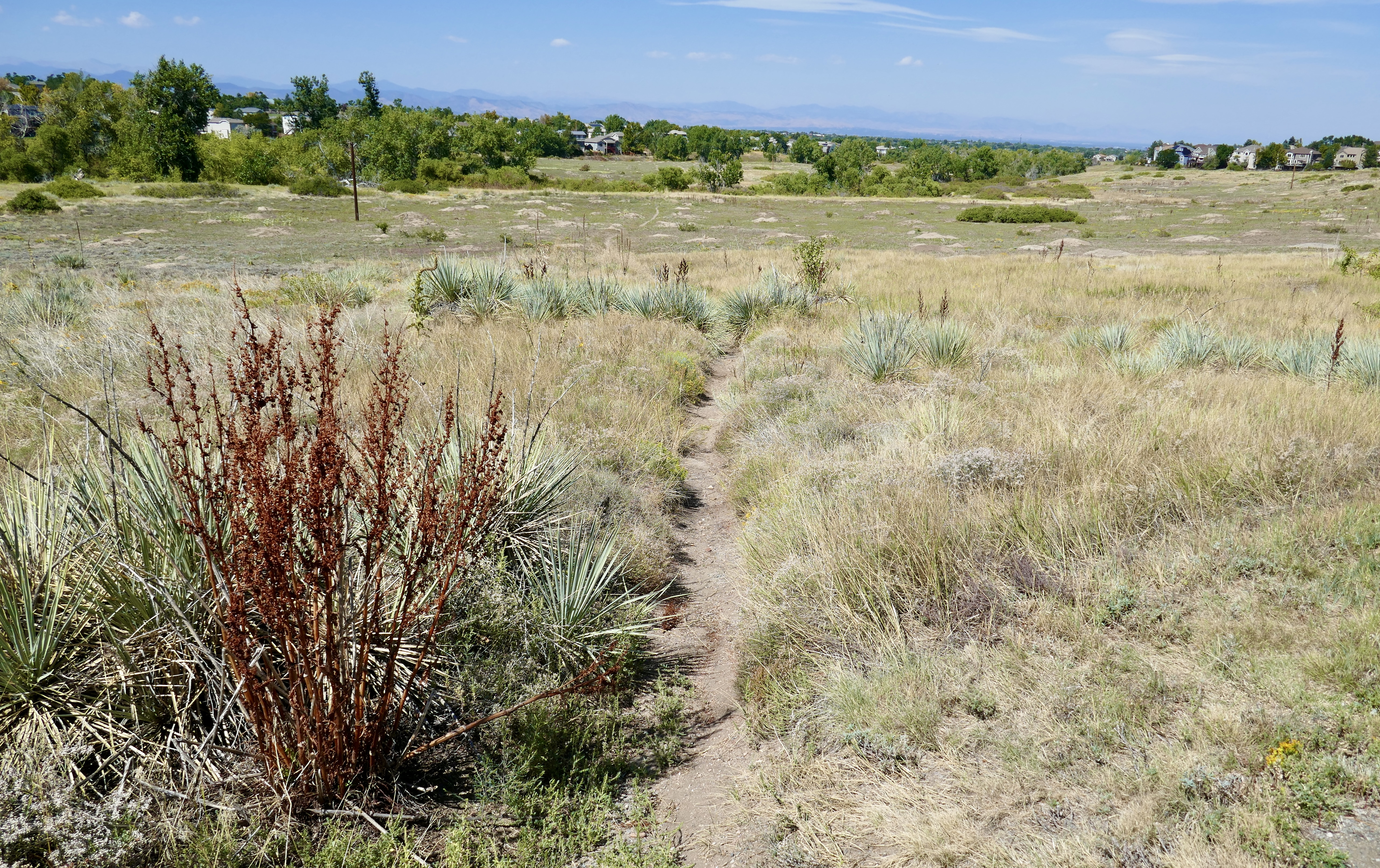
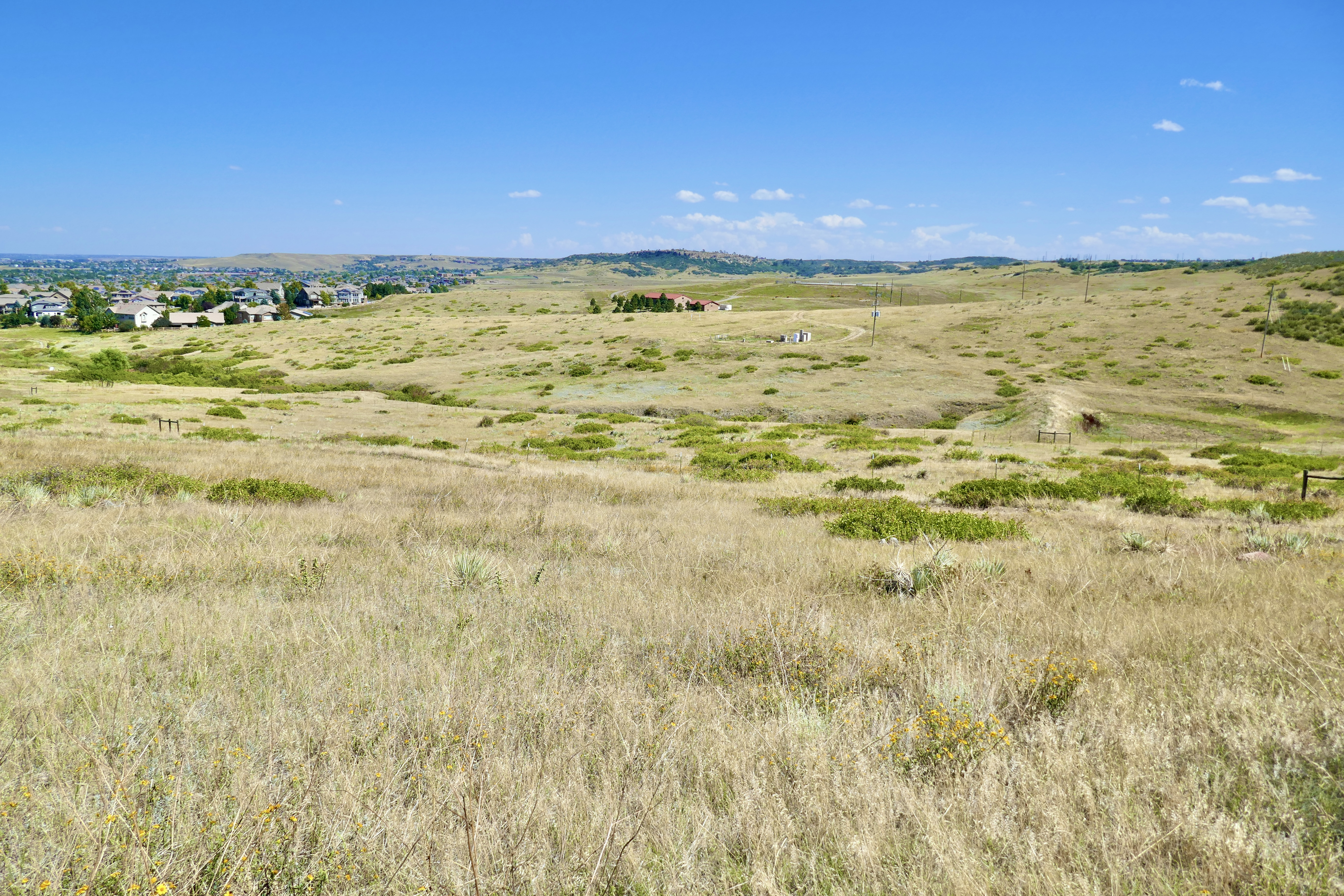
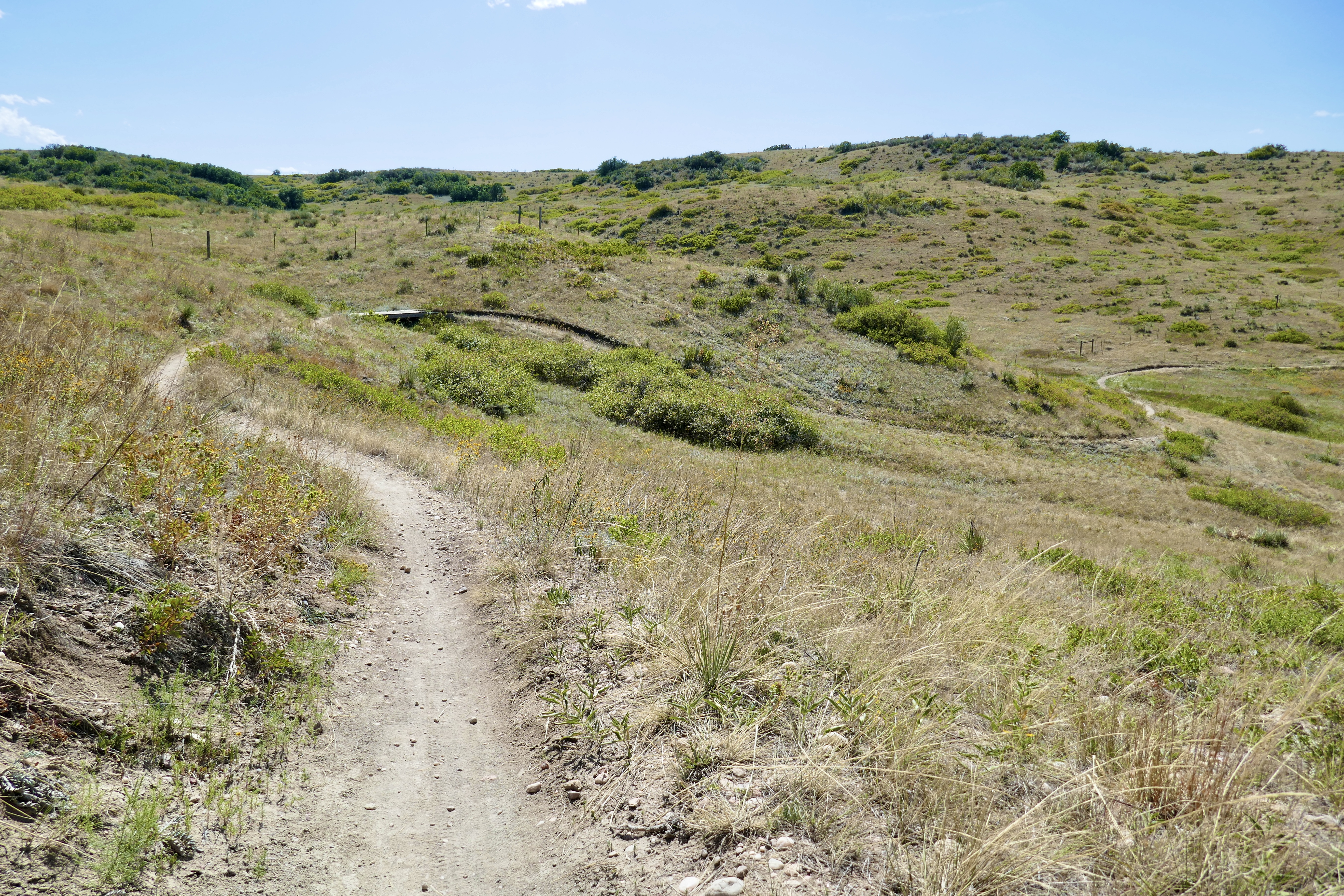
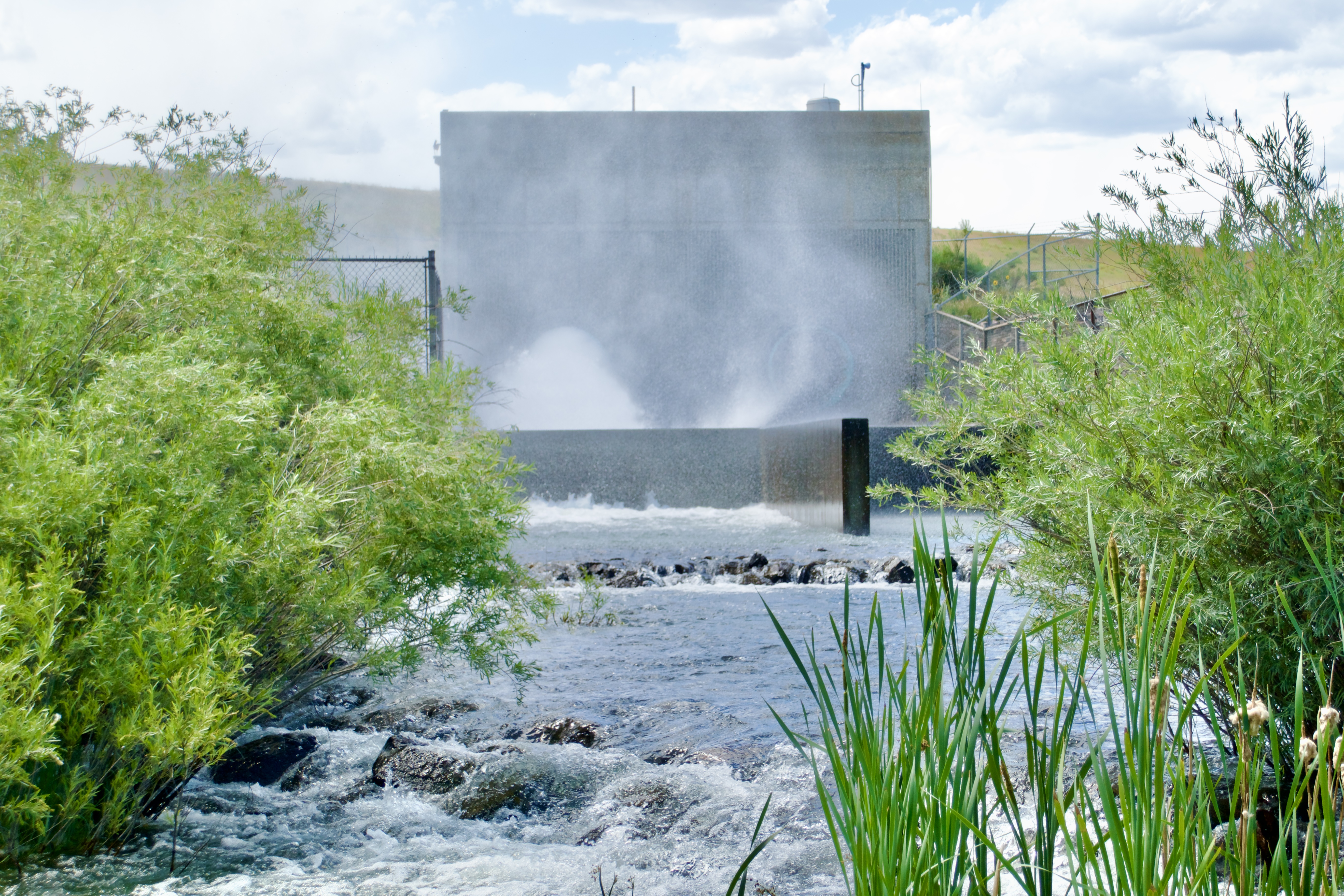
Parts of Segment 25 are just dirt tracks through grassy meadows. That cloud of mist and roar of water up ahead piqued my curiosity enough to make me leave the trail to investigate.

What could it be?

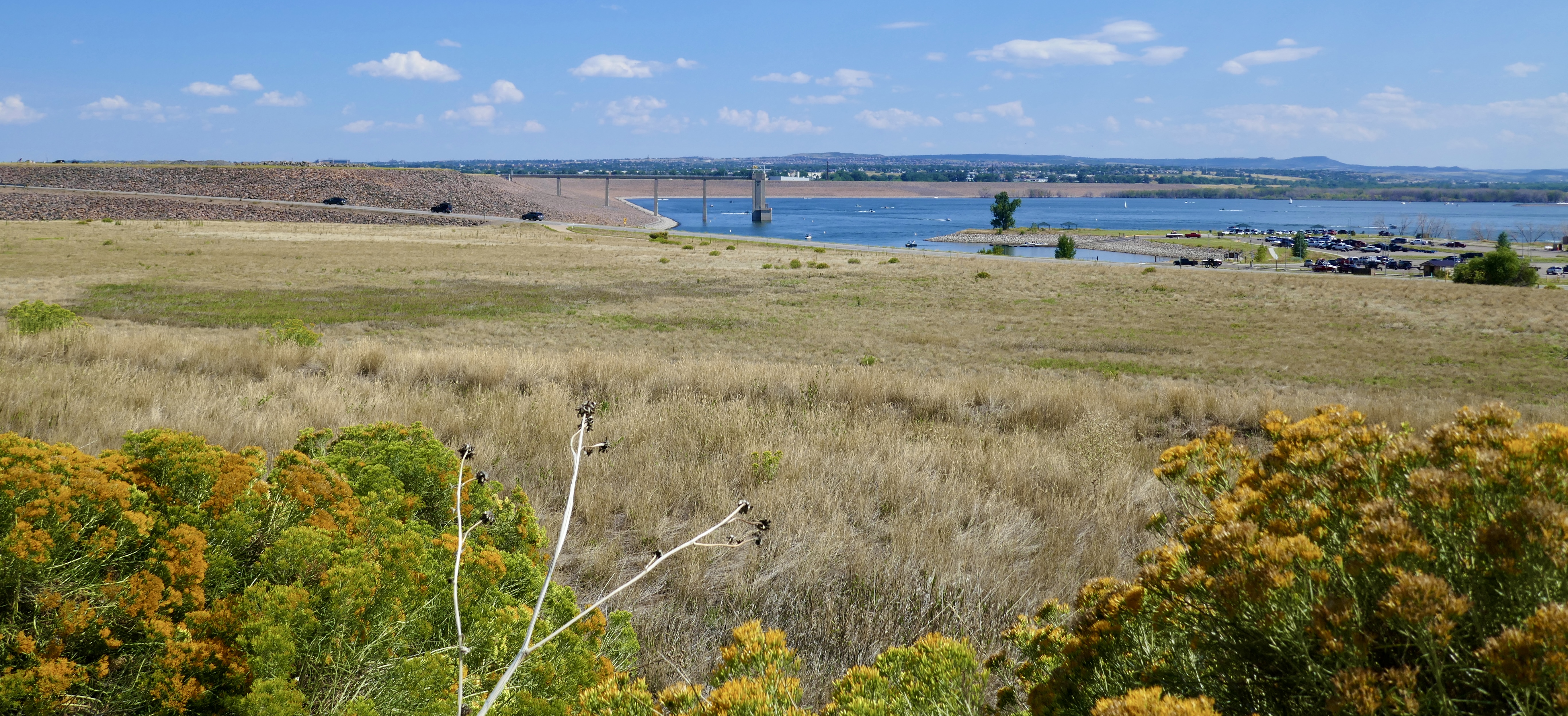
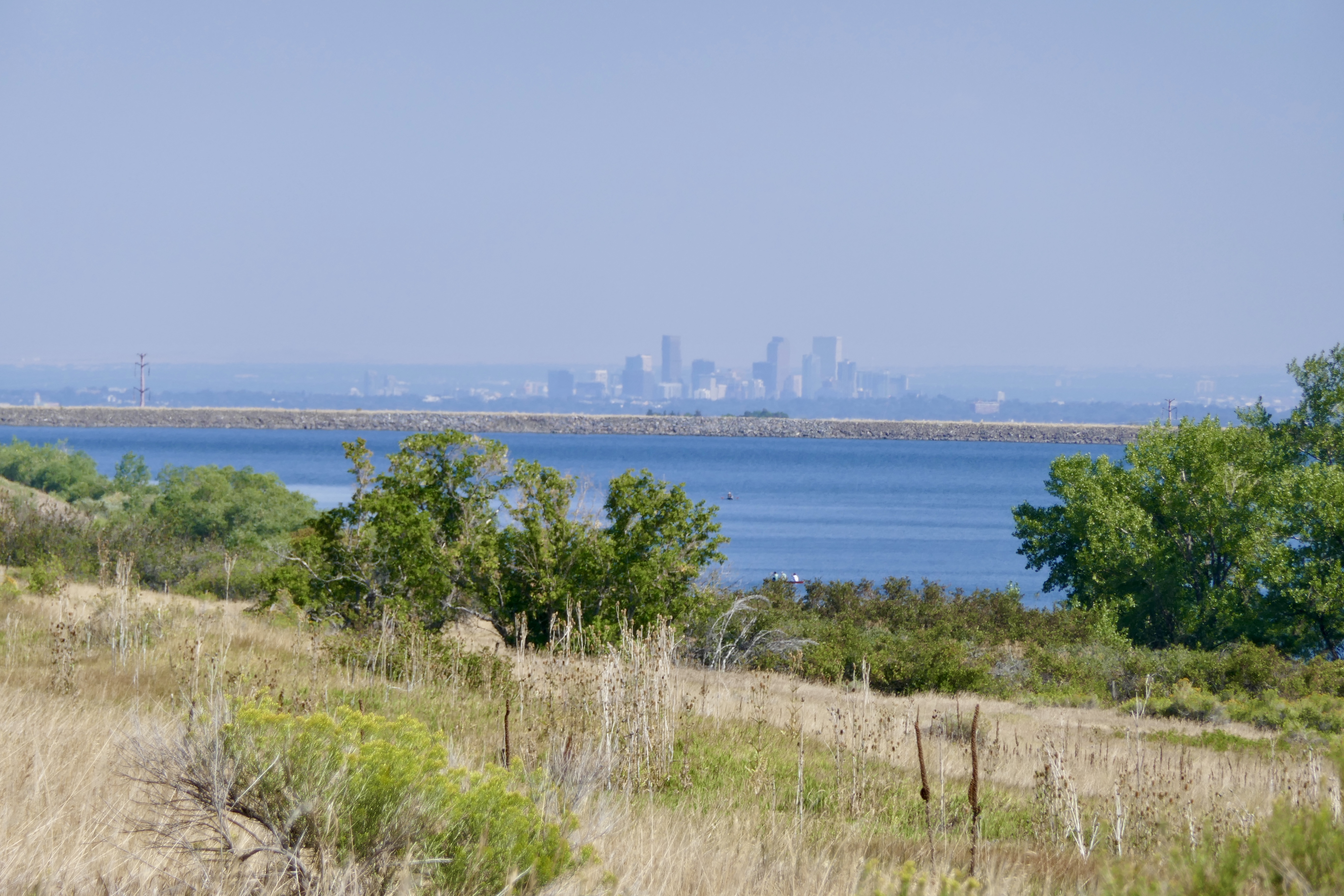
Turns out it’s a MASSIVE flow of water coming through a culvert from Standley Lake. You can see the dam in the background:

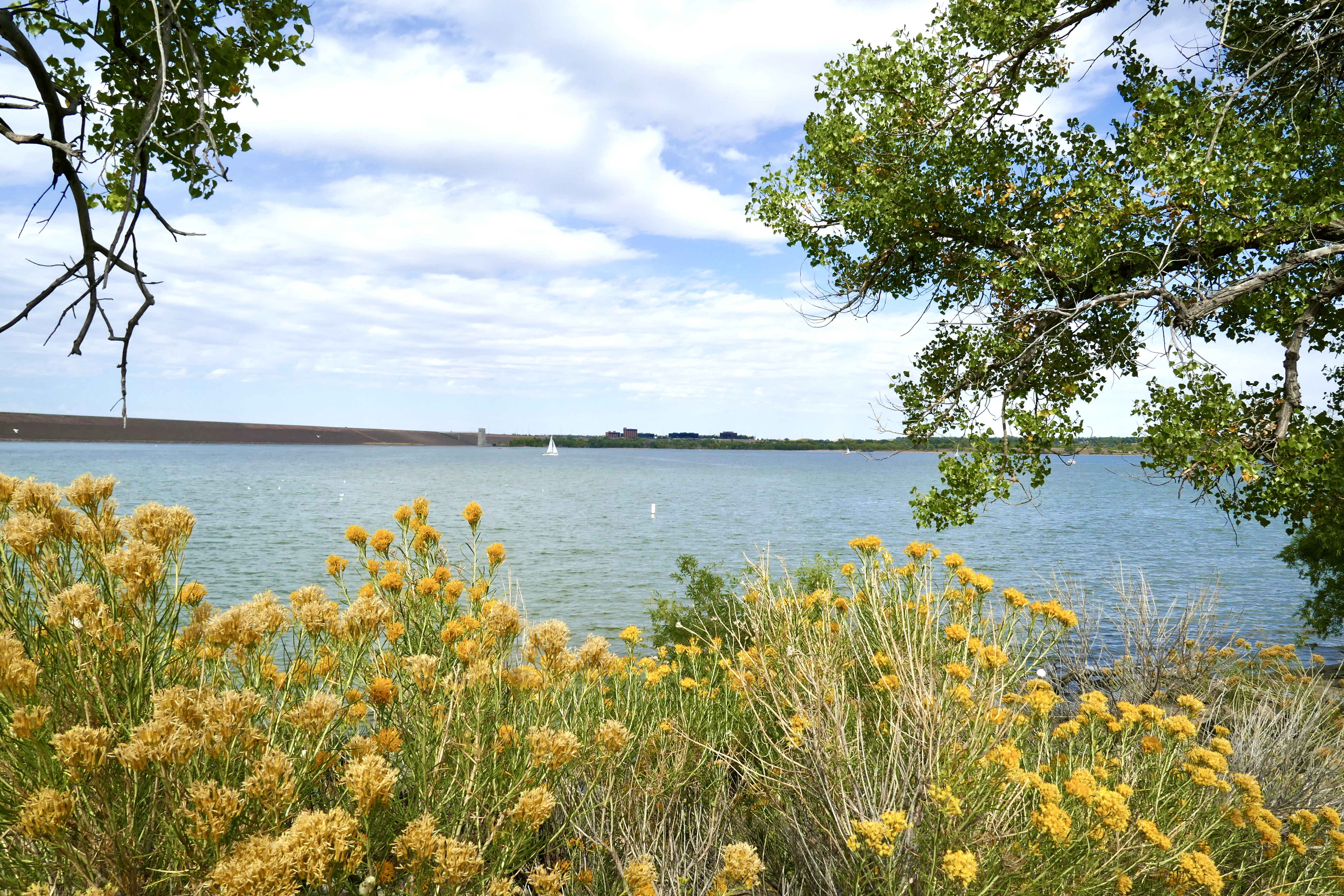
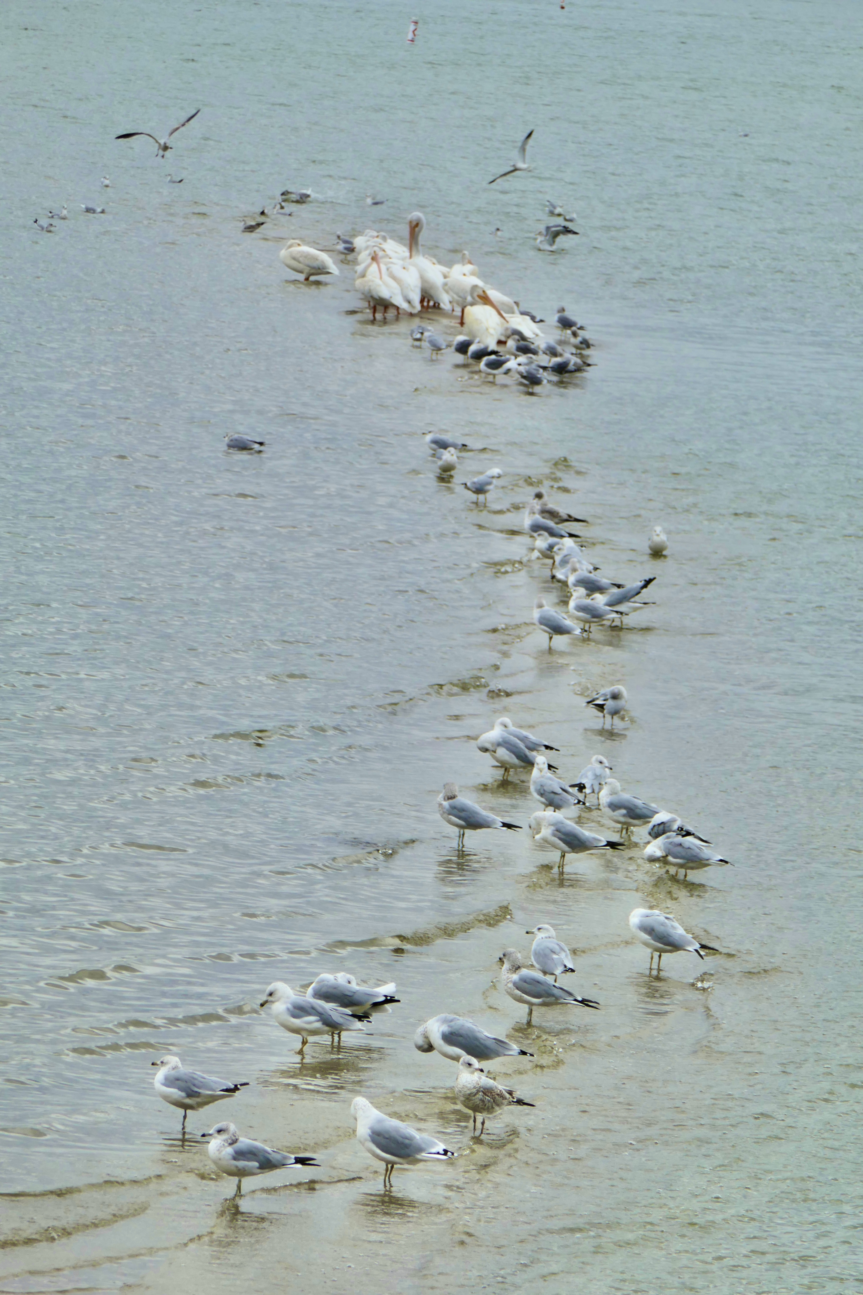
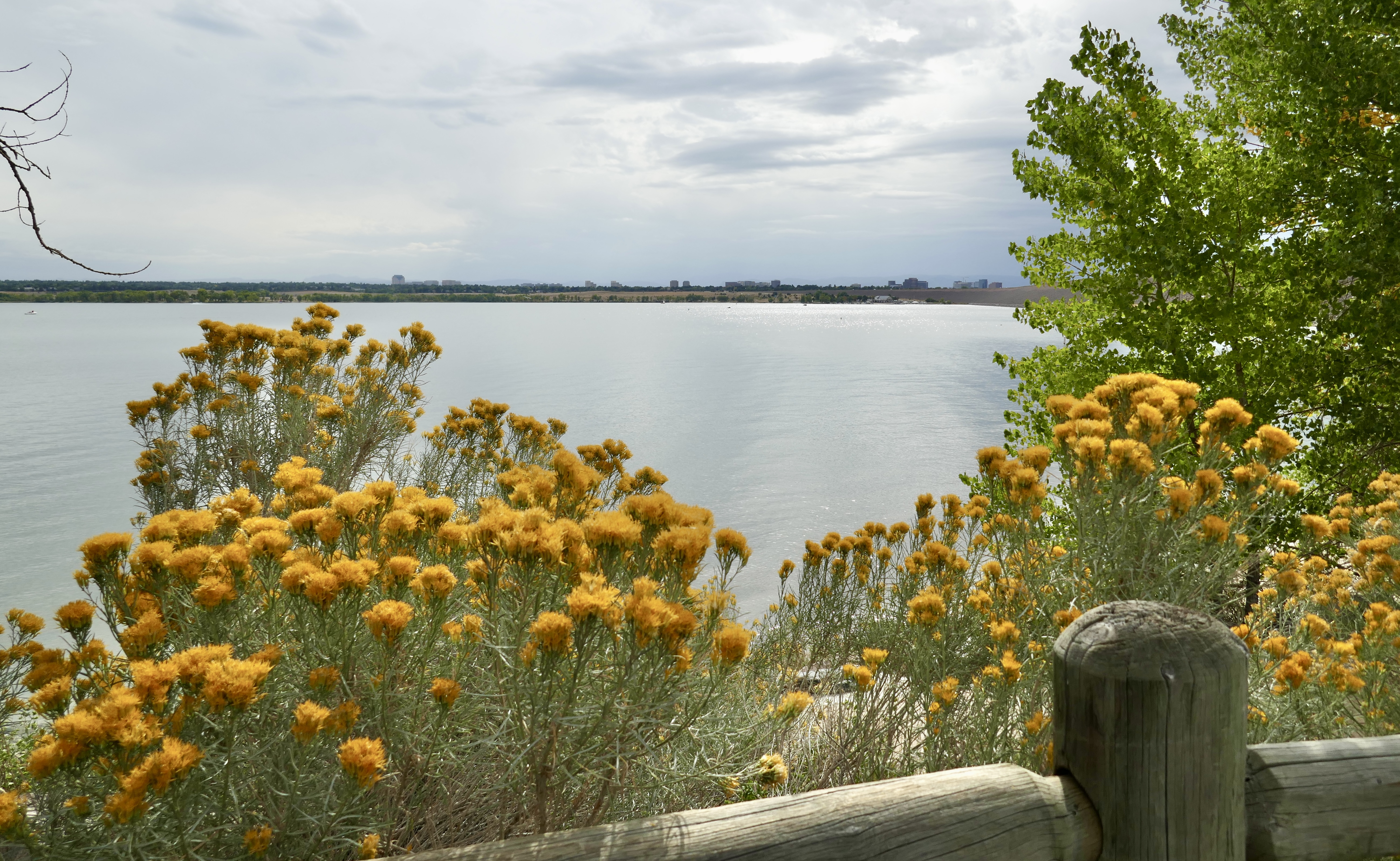
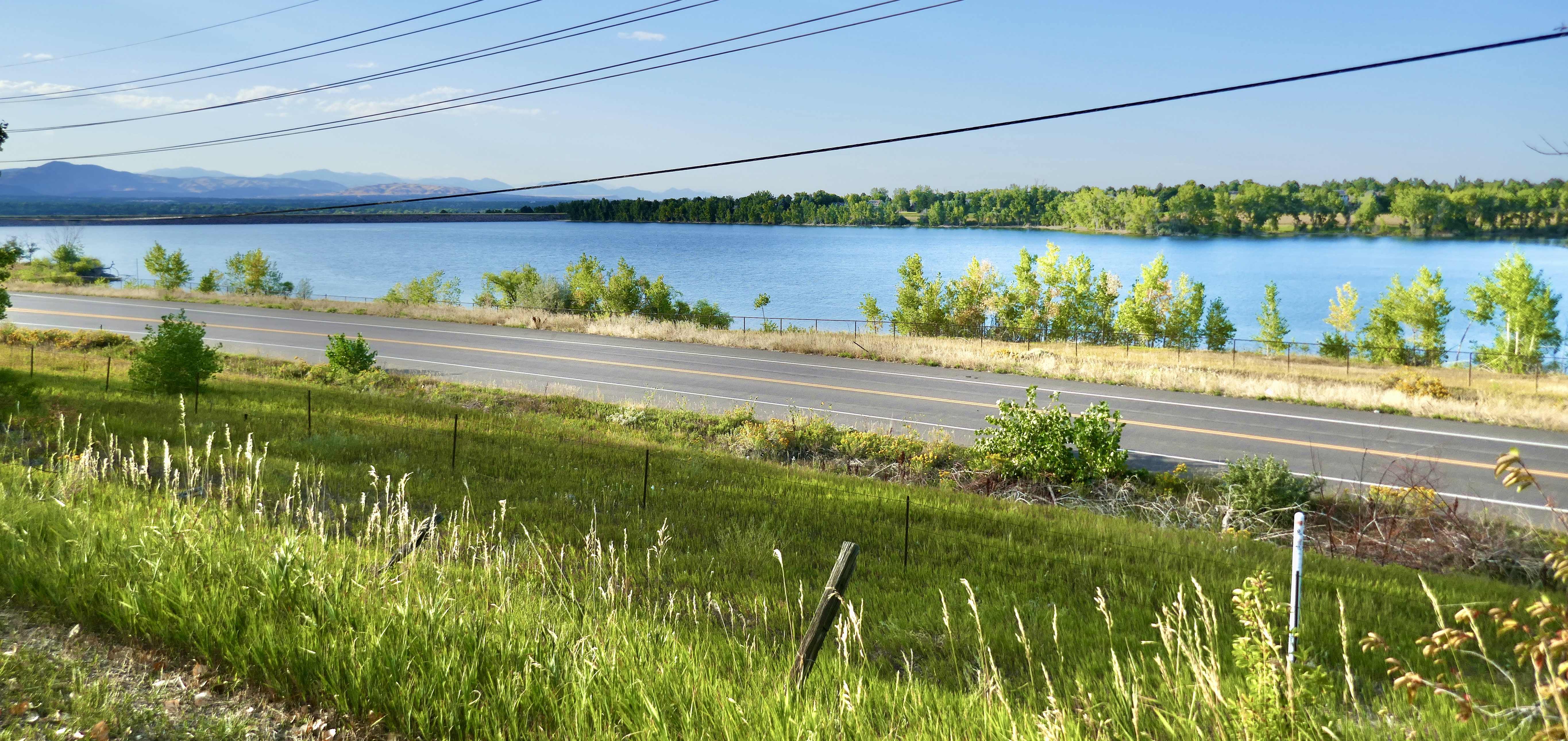
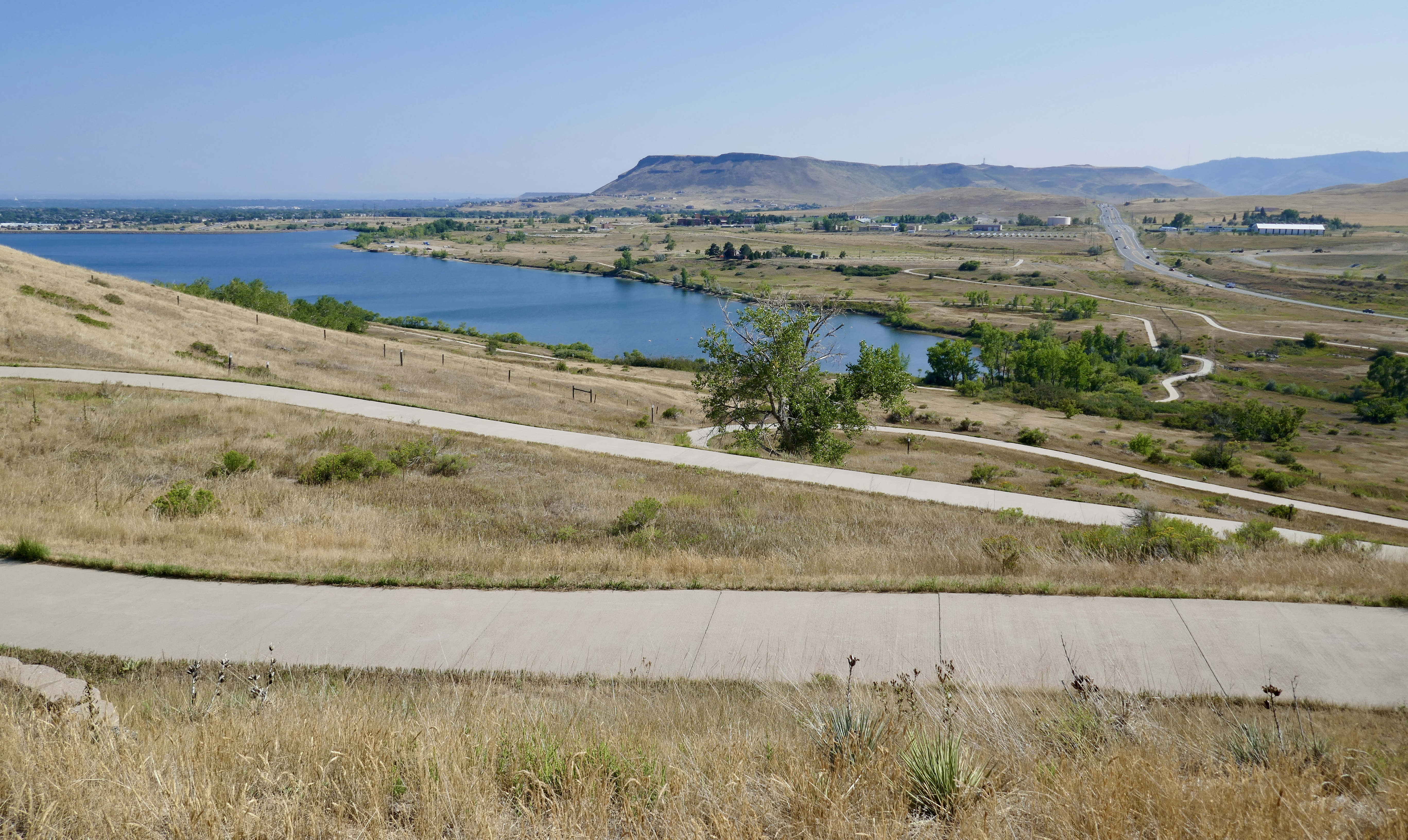
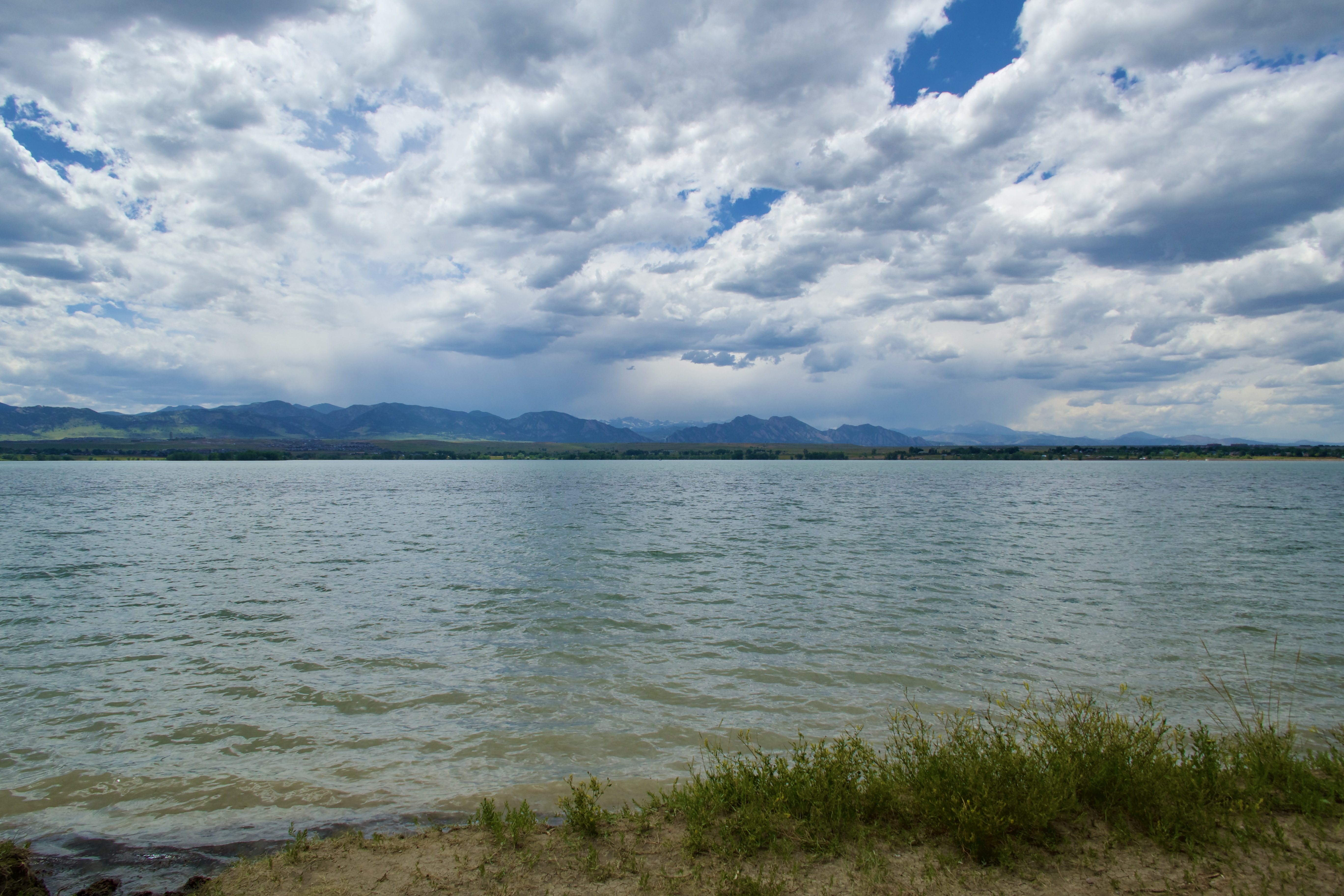
And here is Standley Lake.

The prettiest part of a really pretty loop.
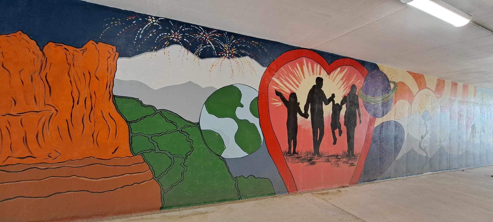
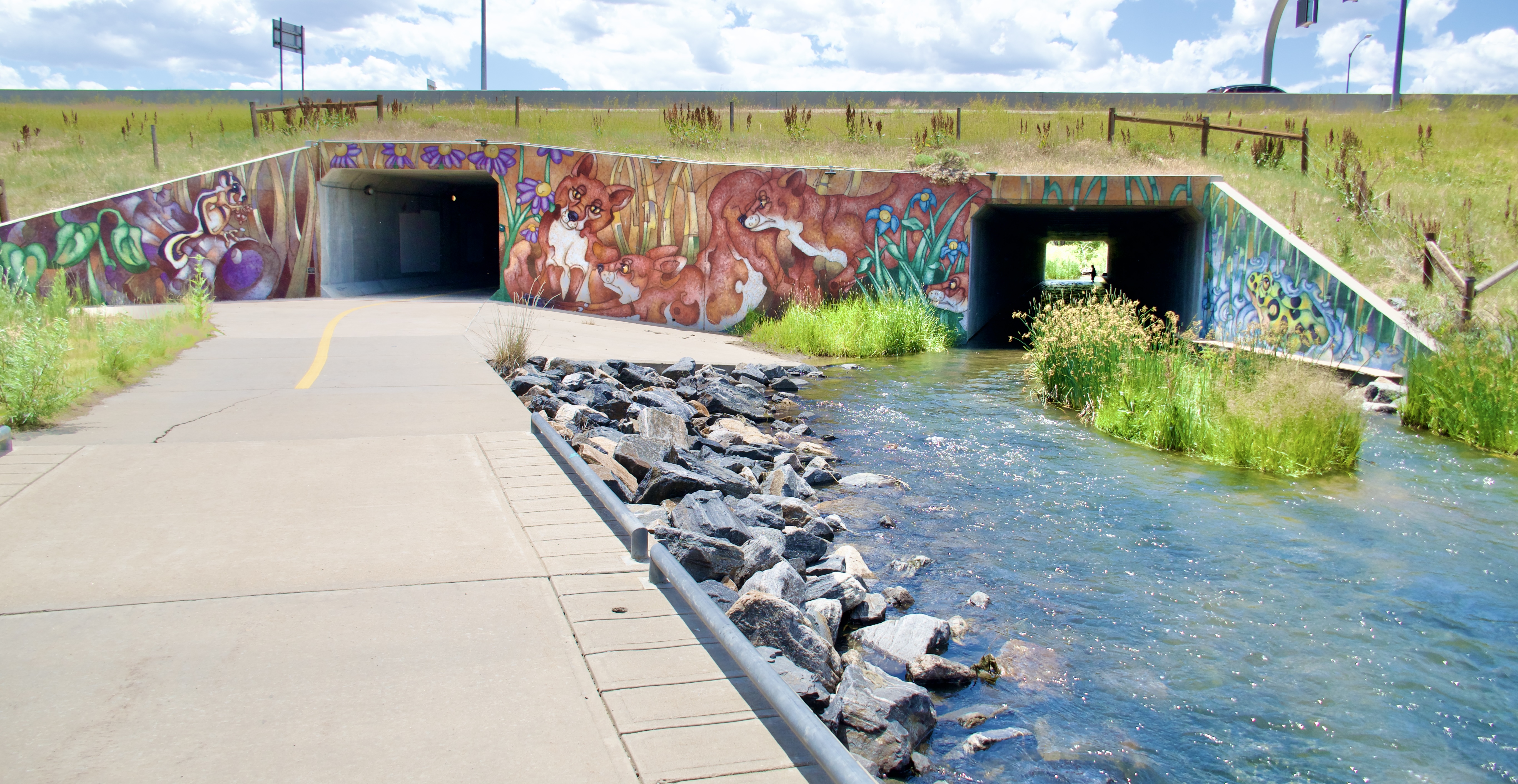
More Maxcy art…

…and this:

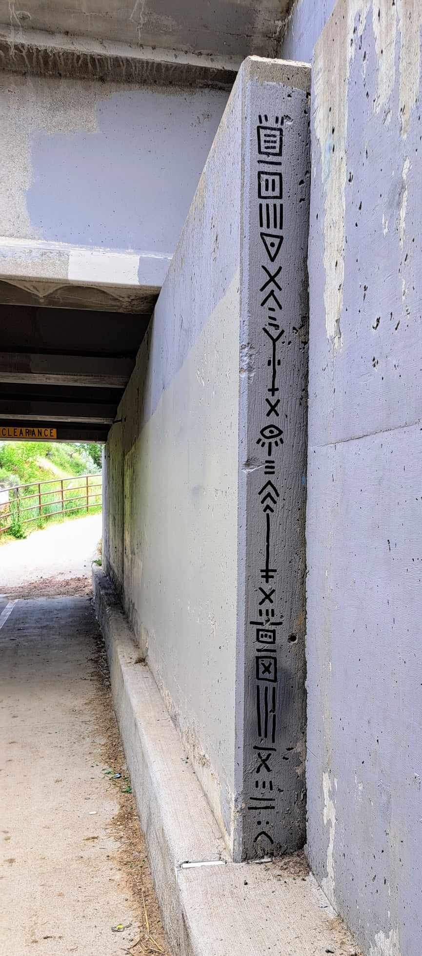
I don’t recognize the glyphs, and neither does Google. Maybe someone’s made-up code.

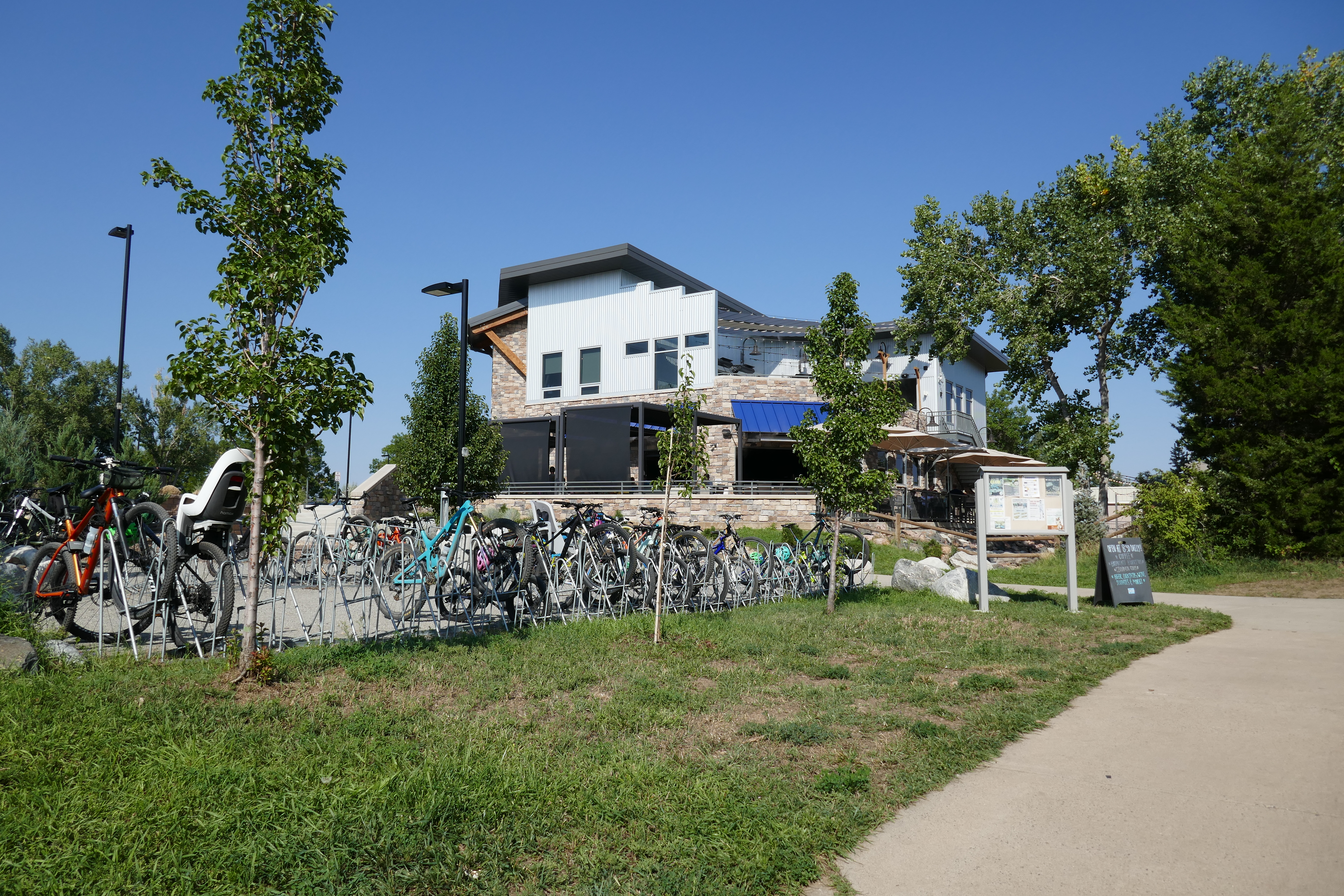
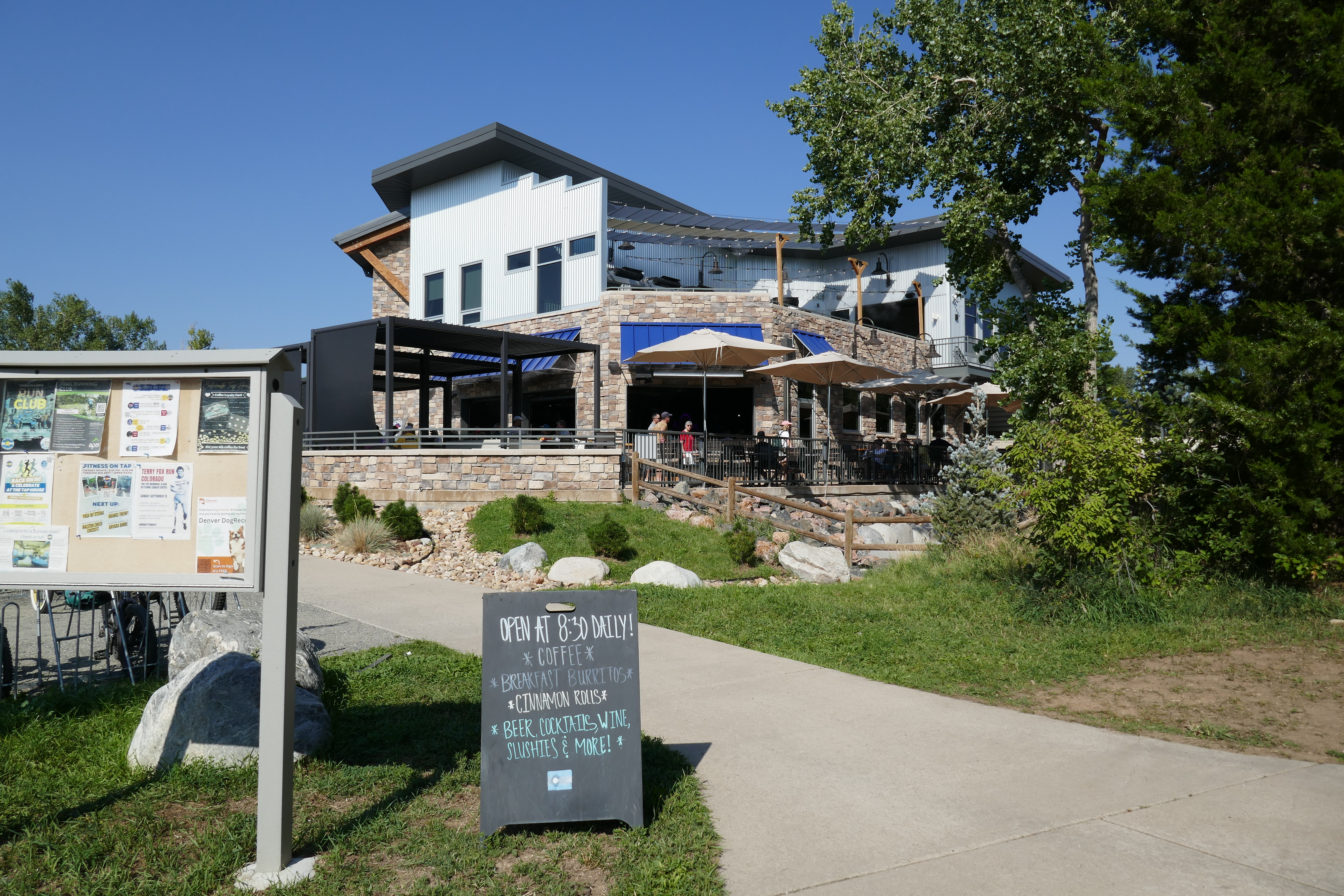
Segment 25 ends at the Standley Lake Library. I rolled in to use the bathroom and refill my water bottle.

The library has a cool sundial out front.

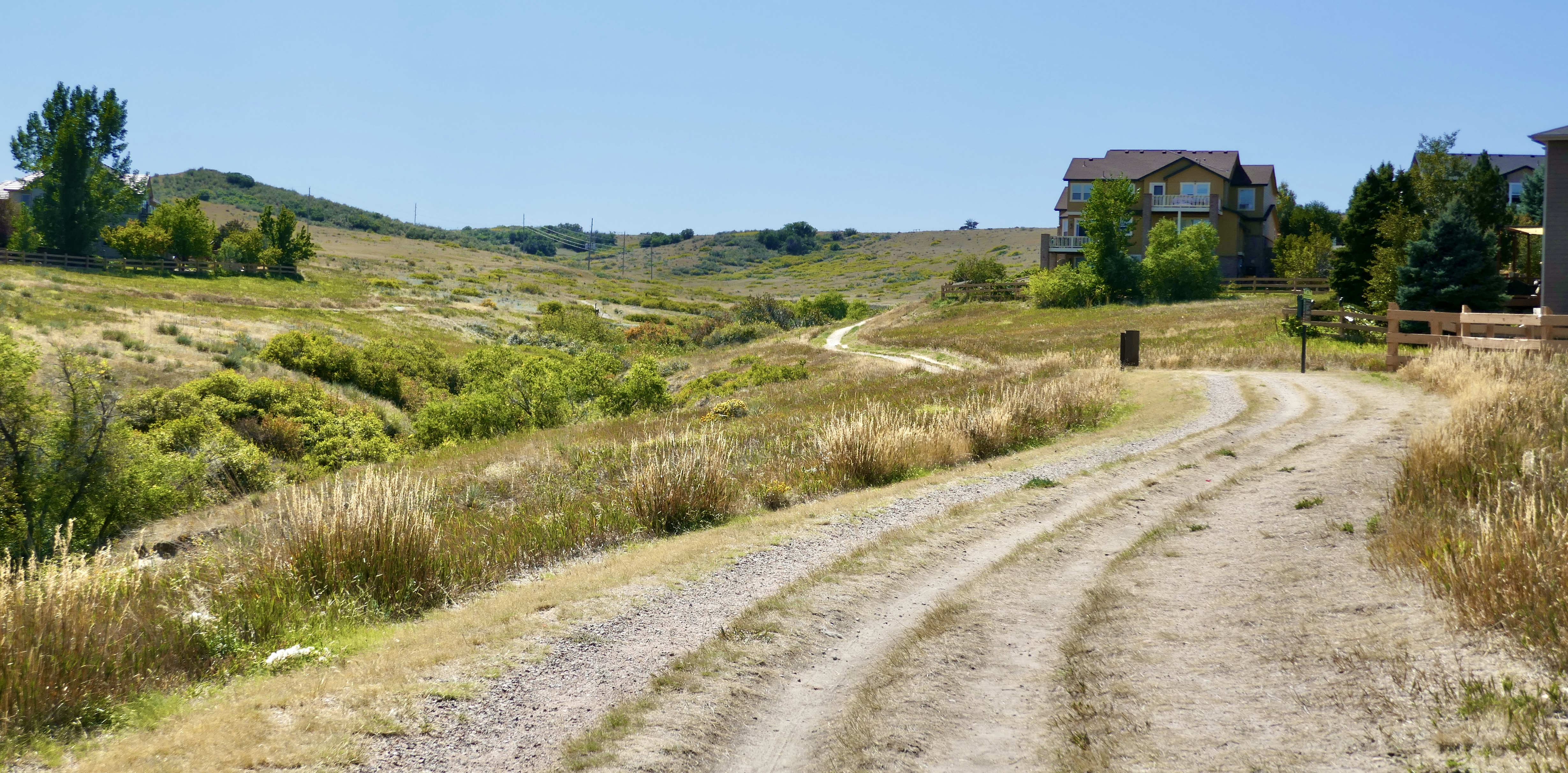
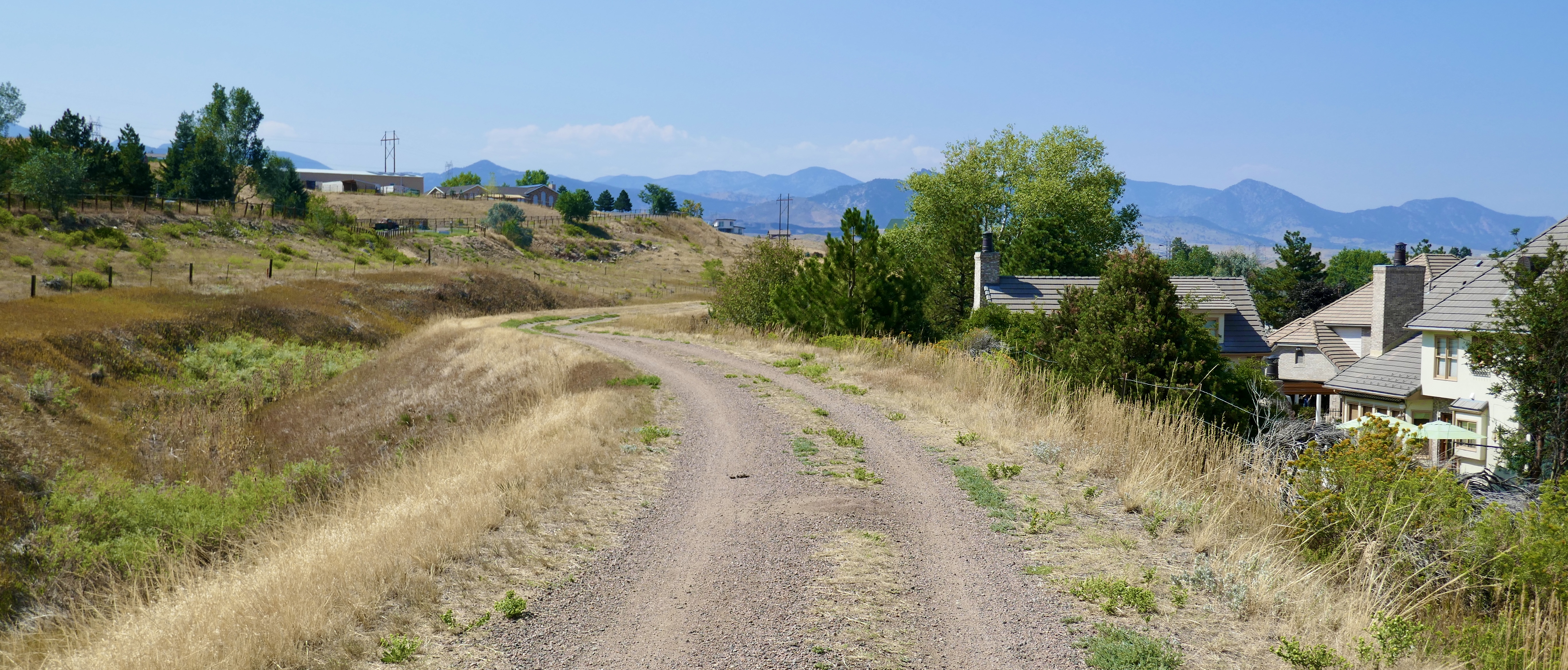
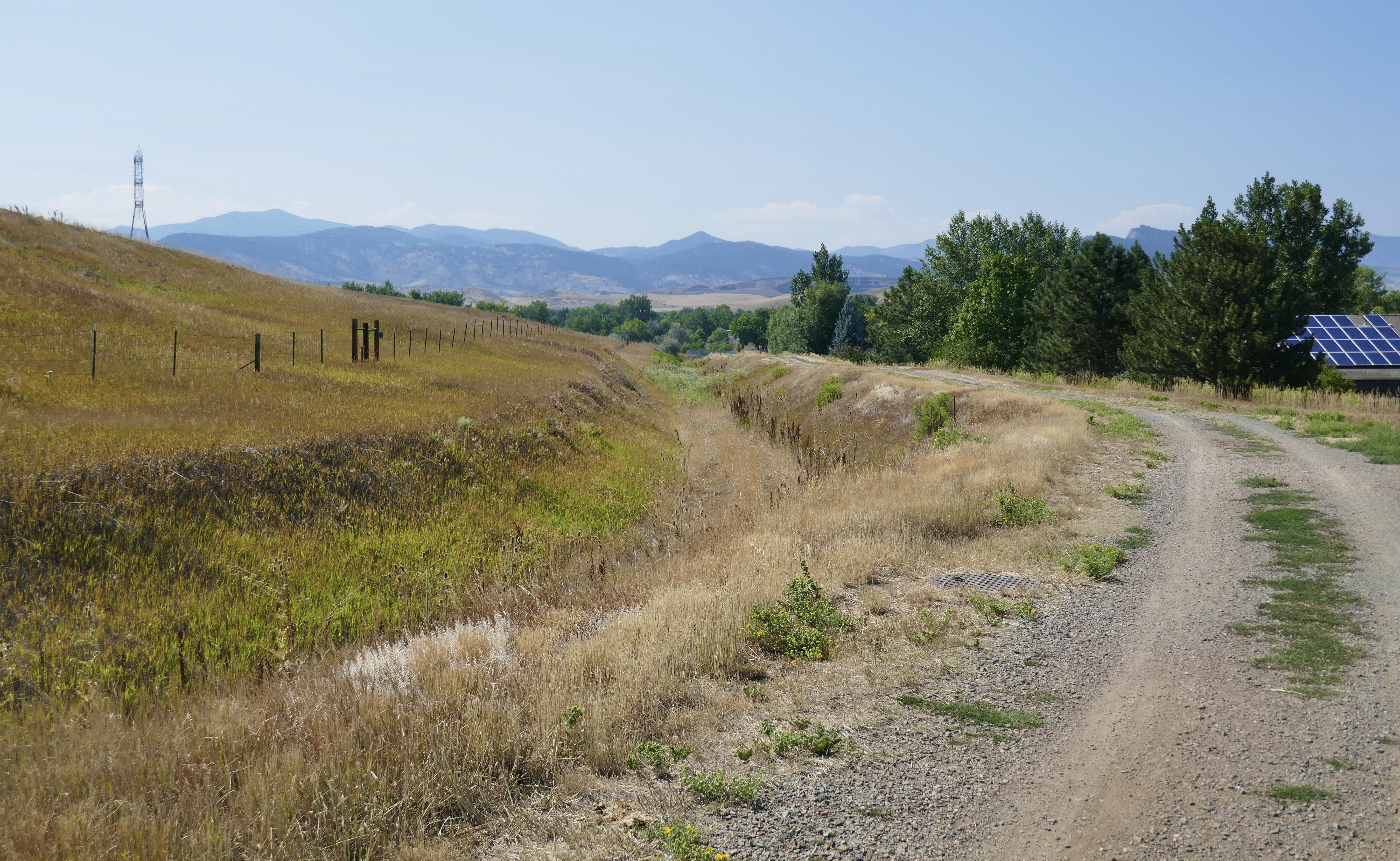
Segment 26 starts out as a dirt track.

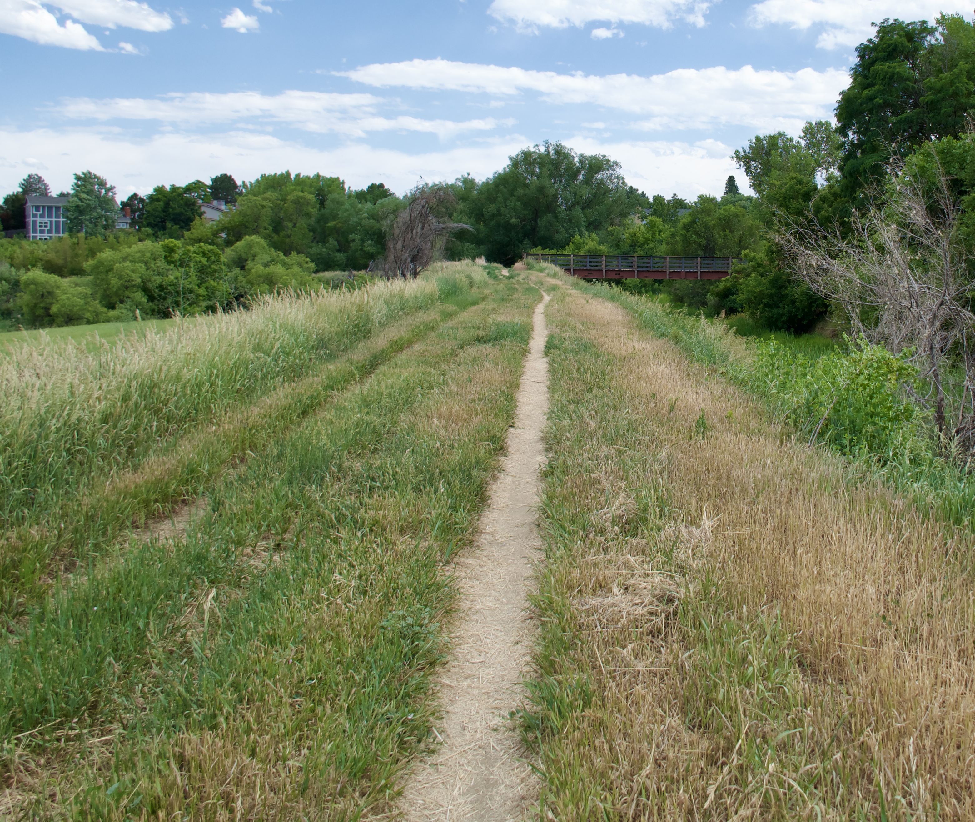
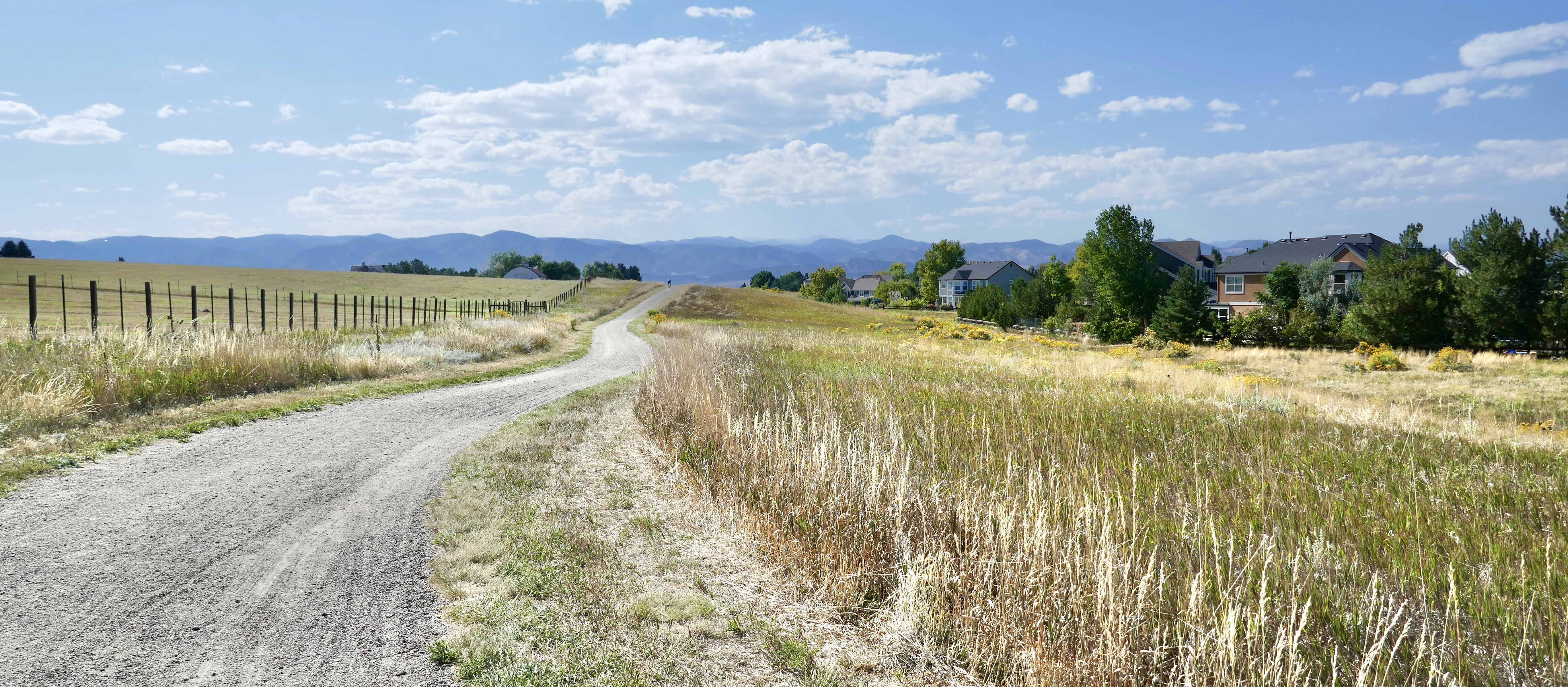
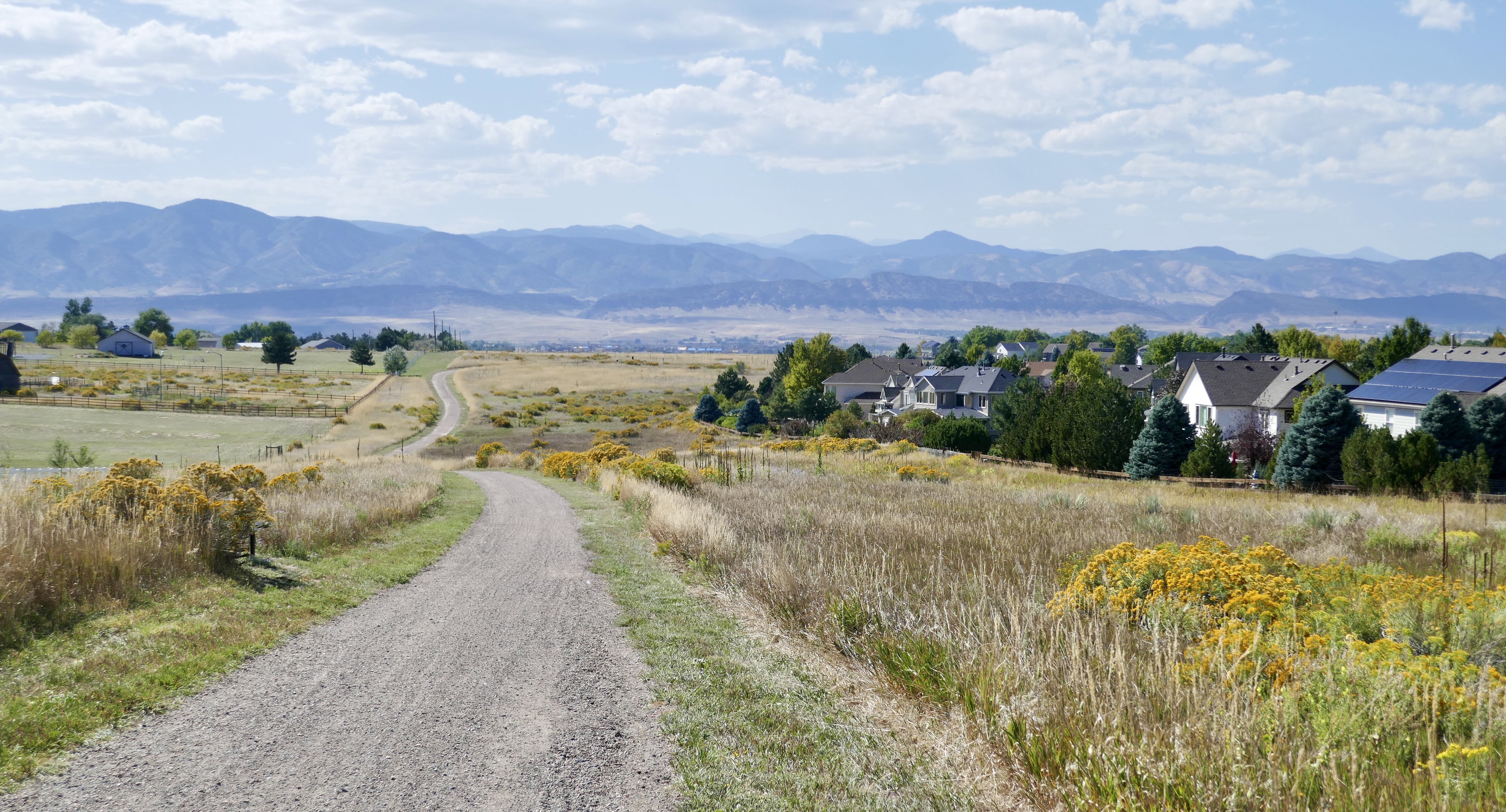
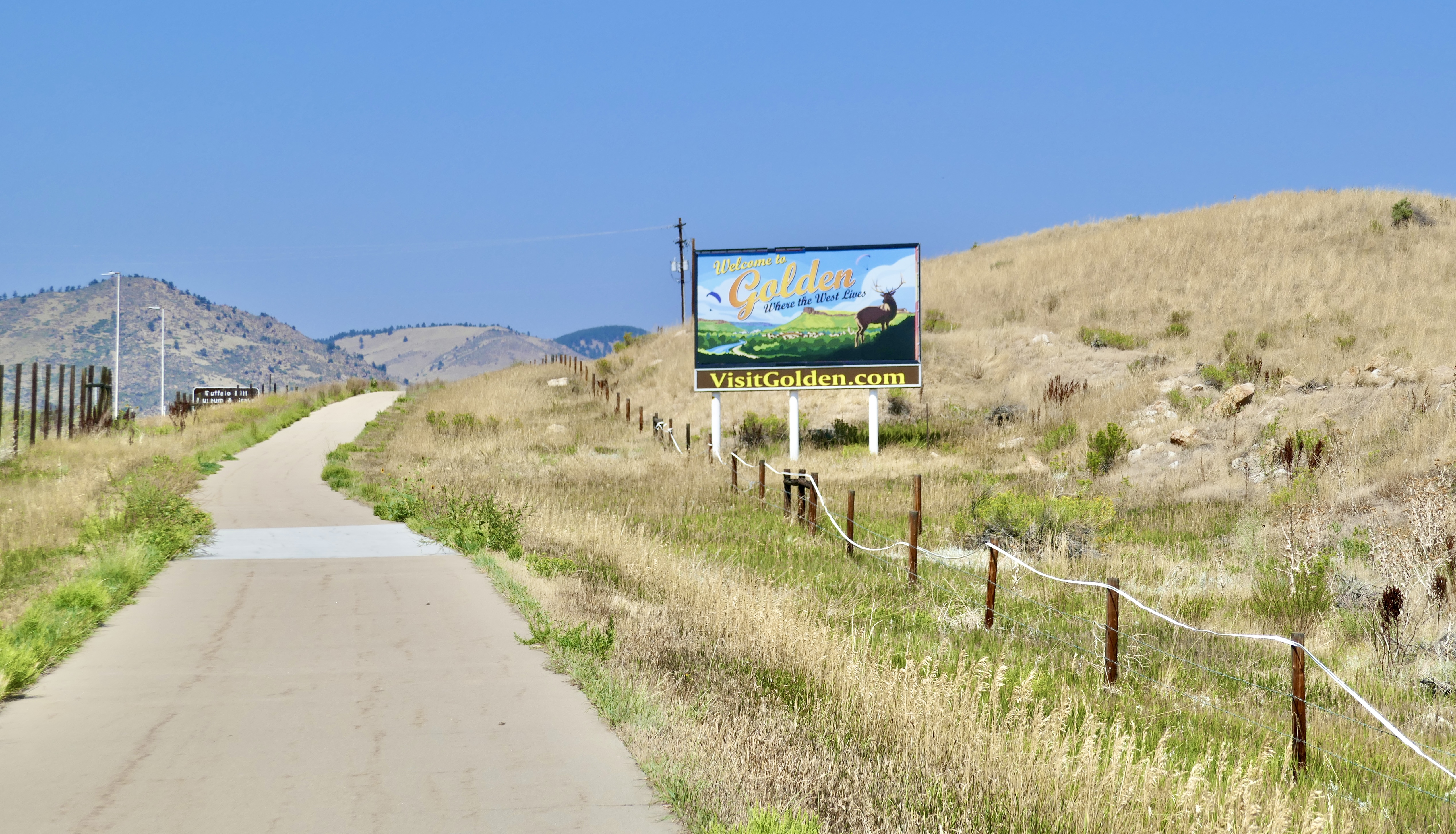
It connects to the Dry Creek Bike Trail, leaves that to follow a couple of streets, then picks up the East Side Trail, which is sometimes paved and sometimes not, but continues in one form or another all the way to Majestic View Park in Arvada

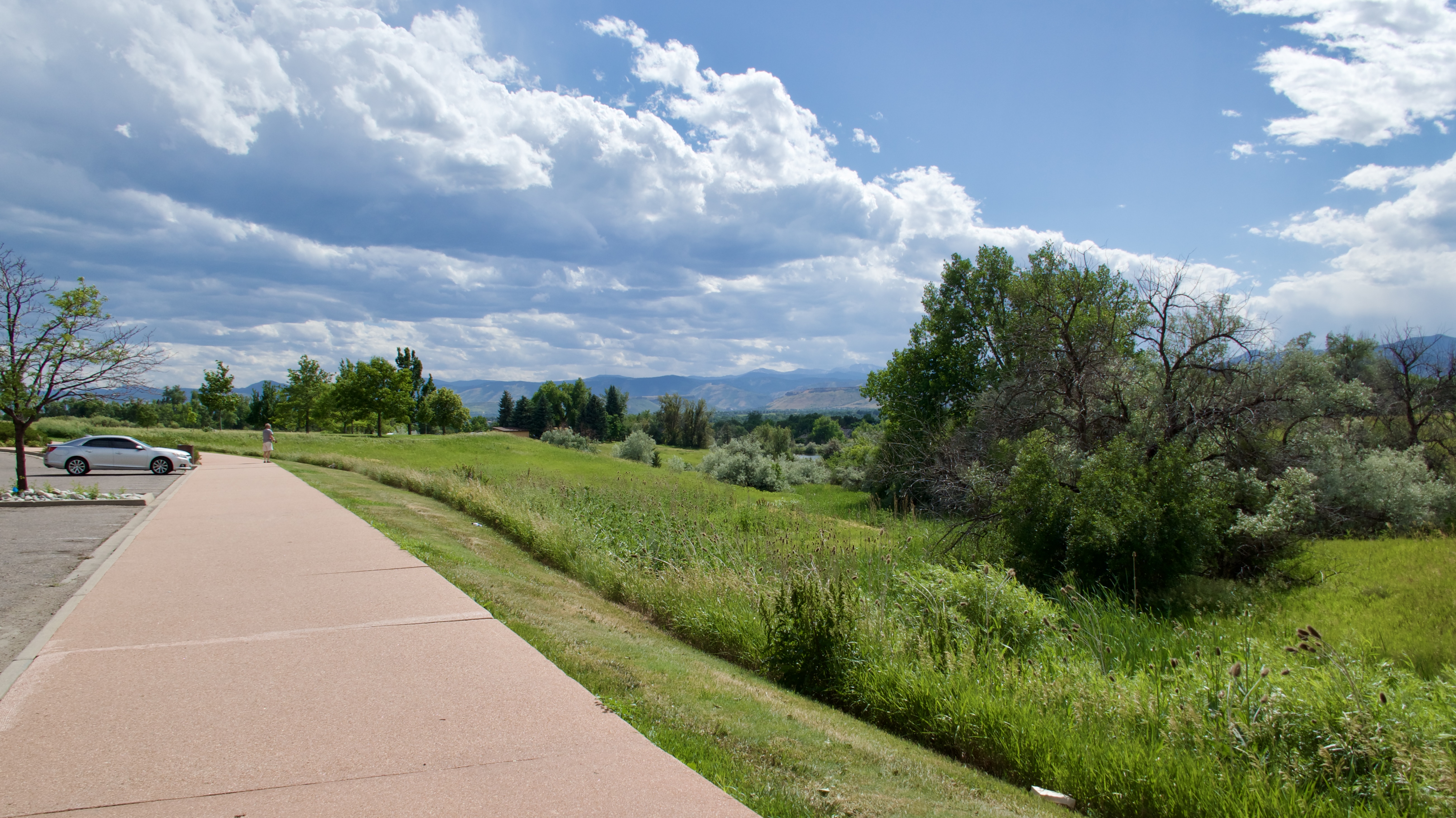
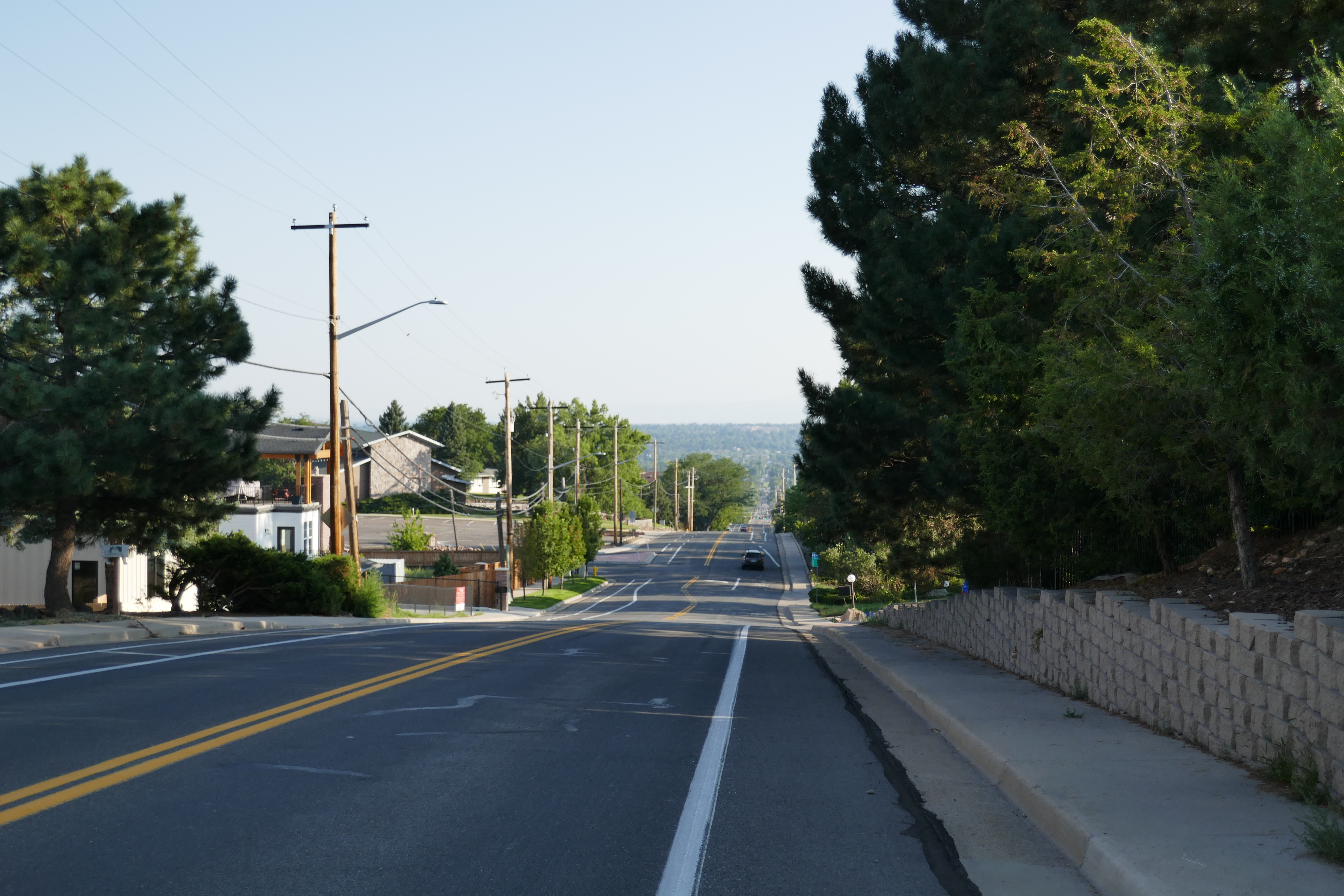
Here is where I left the DOT. My plan was to make my way down to Olde Town Arvada Station on roads. I got off to a rough start with a steep uphill climb, but once I got to the top of that, it was an exhilarating downhill run all the way into Olde Town.

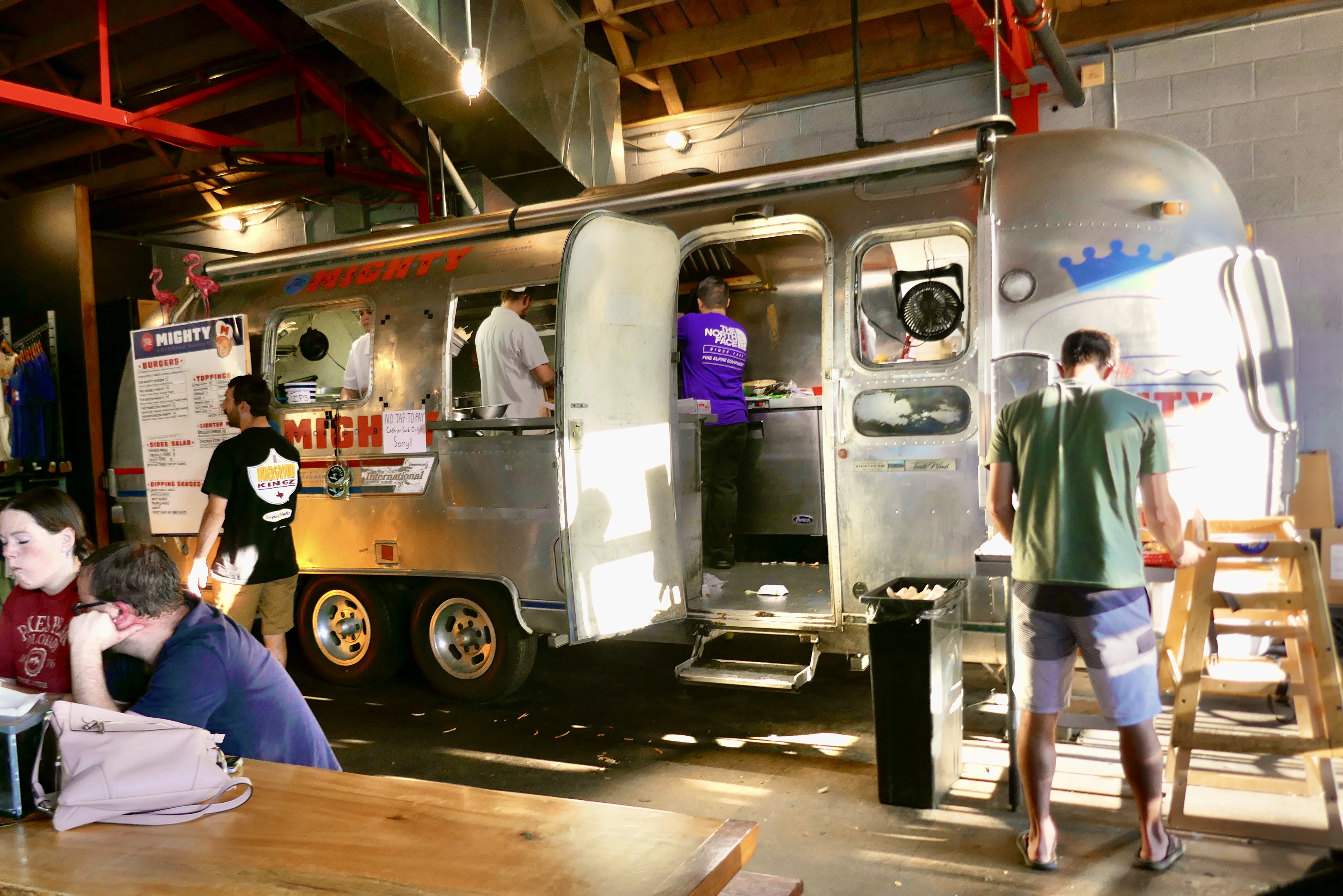
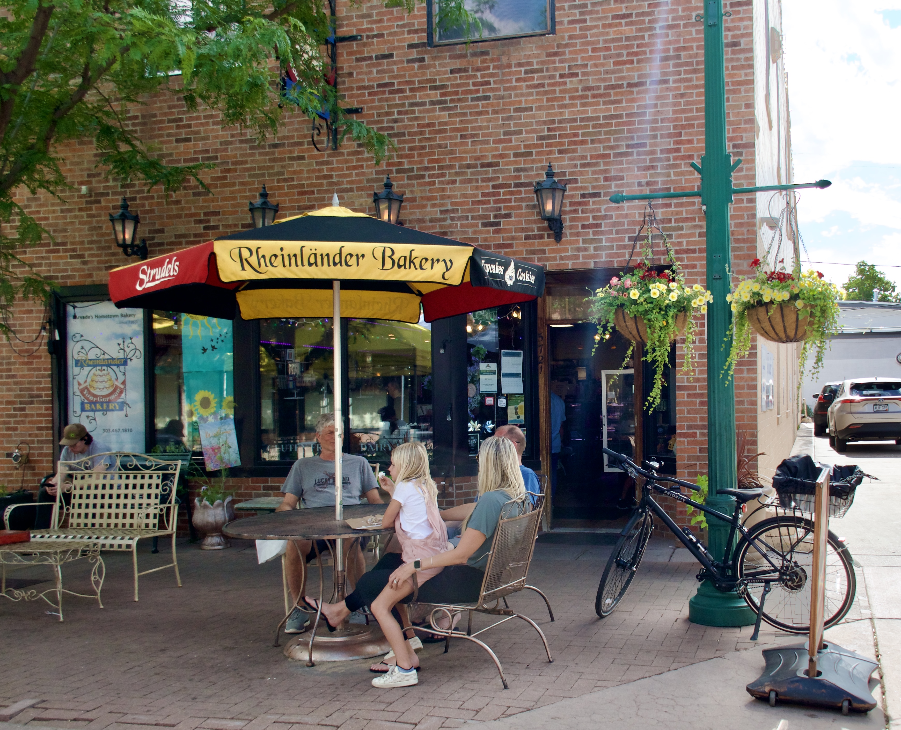
I stopped in at Rheinlander Bakery for a cream cheese strudel and an Italian cream soda…

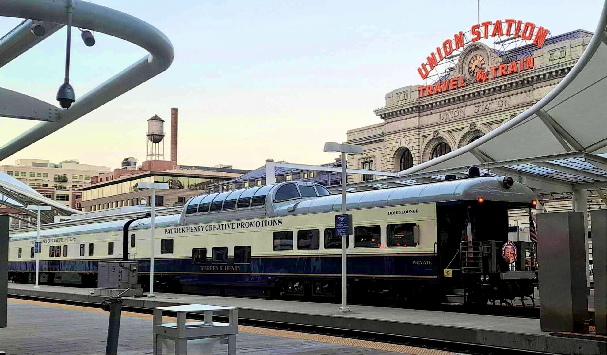
…and then hopped on the G line to Union Station…

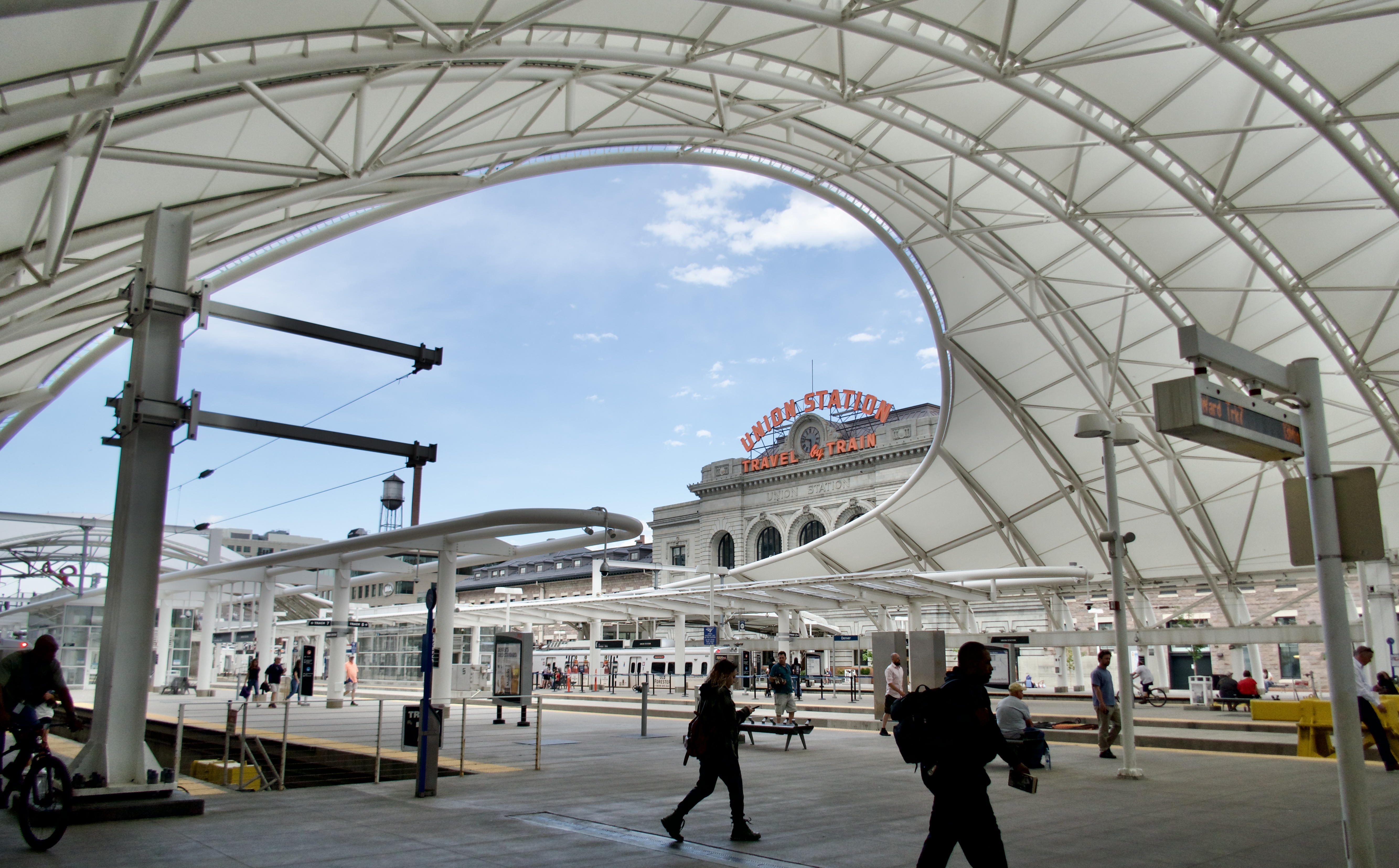
…and then the A to Peoria Station. I happened to get there just in time to catch an R line train that was running 30 minutes late for its regular schedule, so I didn’t have to wait at all.

This was one of my favorite loops so far. My only concern is that to start Segment 27 where I left off, I’ll have to tackle that long uphill stretch from Olde Town Arvada to Majestic View Park. Maybe I’ll do it in the other direction, and end up back in Arvada again.

More to come!

Categories: A Plethora of Parks, Animals, Artwork, DOT by Bike and Rail, environment, food, Life, trail rides, Wildlife | Tags: , | Leave a comment

Blog at WordPress.com.