Posts Tagged With: Manitou Incline

Pikes Peak by Rail

Luke keeps asking when I’m going to update my blog. He says the easiest way to keep track of his road trips and other adventures is by looking them up here. I keep meaning to, but between work, house projects, recreational reading and getting into political arguments on Twitter, there never seems to be time for blogging.

But next month will mark a full year of unblogged adventures. I need to either catch up or admit that I’m never going to. So I’ve made a new rule for myself: every time I finish reading a book, I can’t start a new one until I have written and published a new blog post.

So where were we? Last August a friend I’ve known forever (since middle school!) flew out to spend a week with us. I think my favorite thing we did that week was take the Broodmoor Cog Railway to the summit of Pikes Peak.

That was on August 13th of last year. Elizabeth had the Tuesday off and came with us. Luke was saving up PTO for a solo trip to Alaska, so he was at work that day.

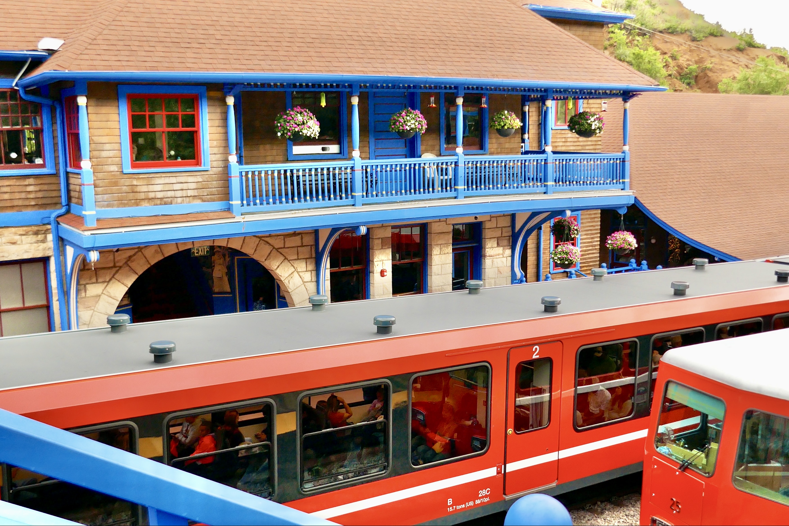
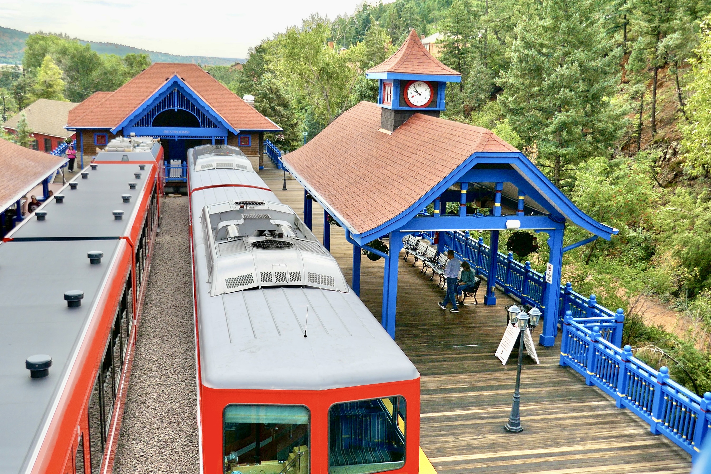
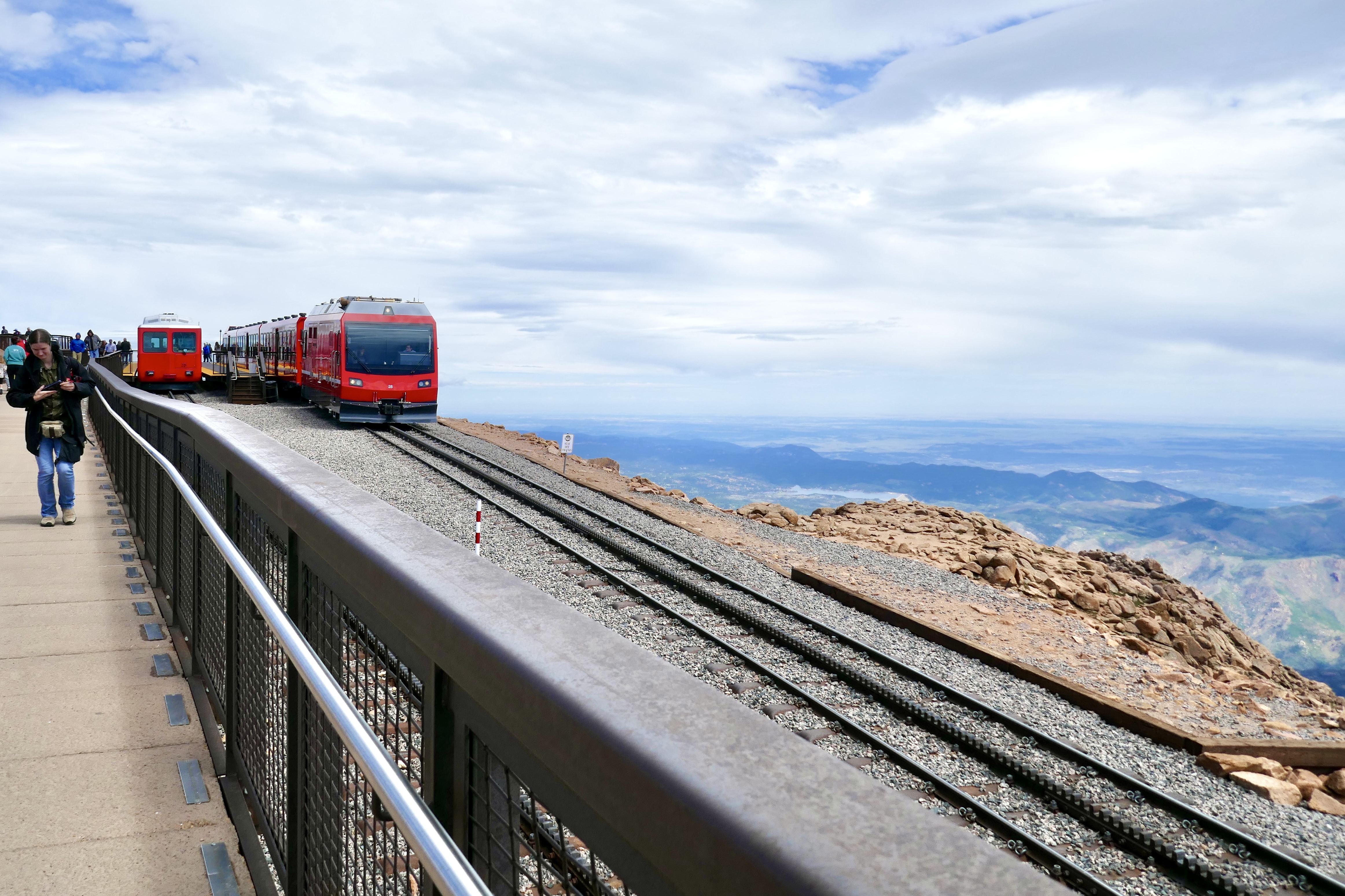
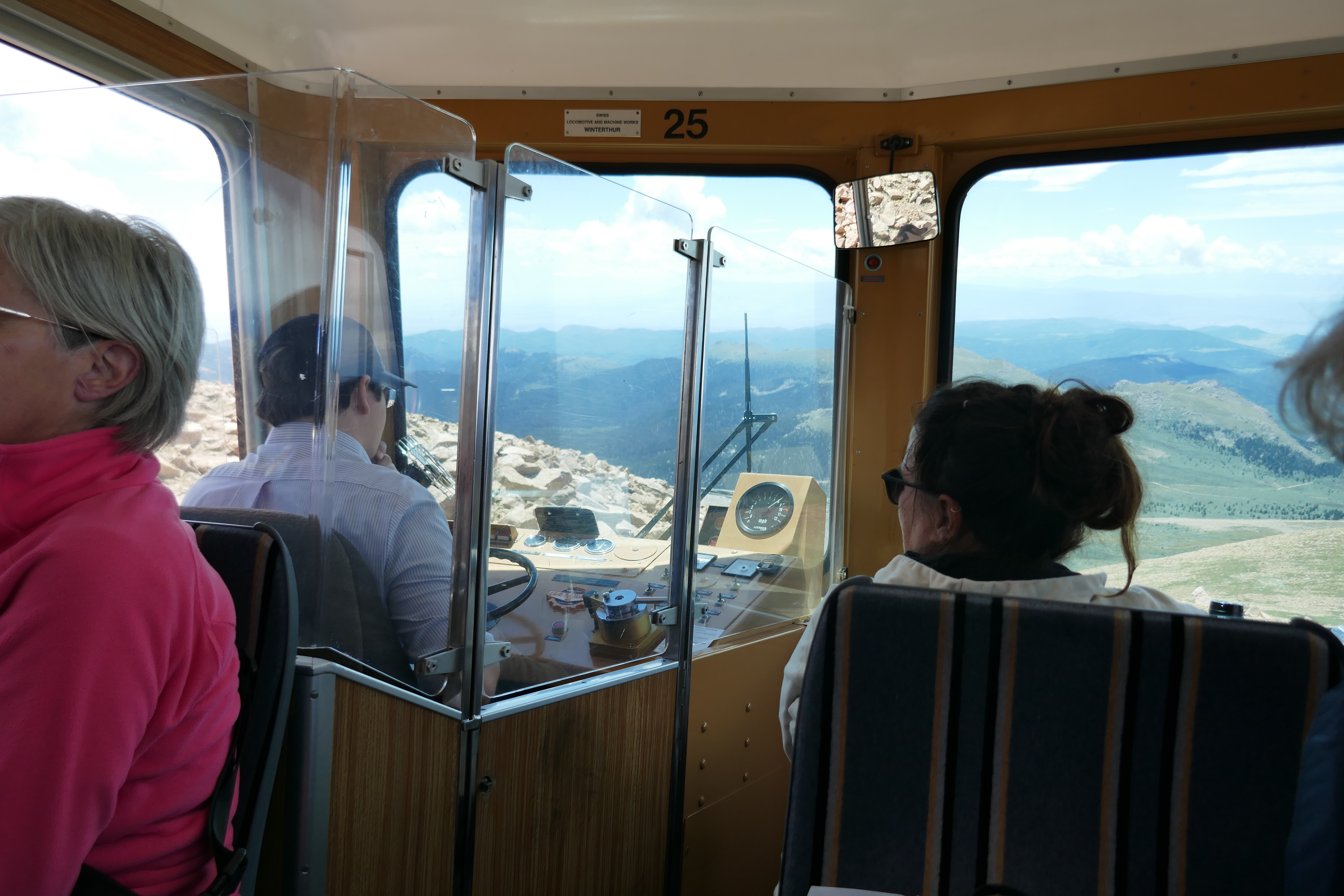
The Cog Railway Depot is lovely. The current cog trains were shipped out from Switzerland, and the depot embraces that Swiss aesthetic.

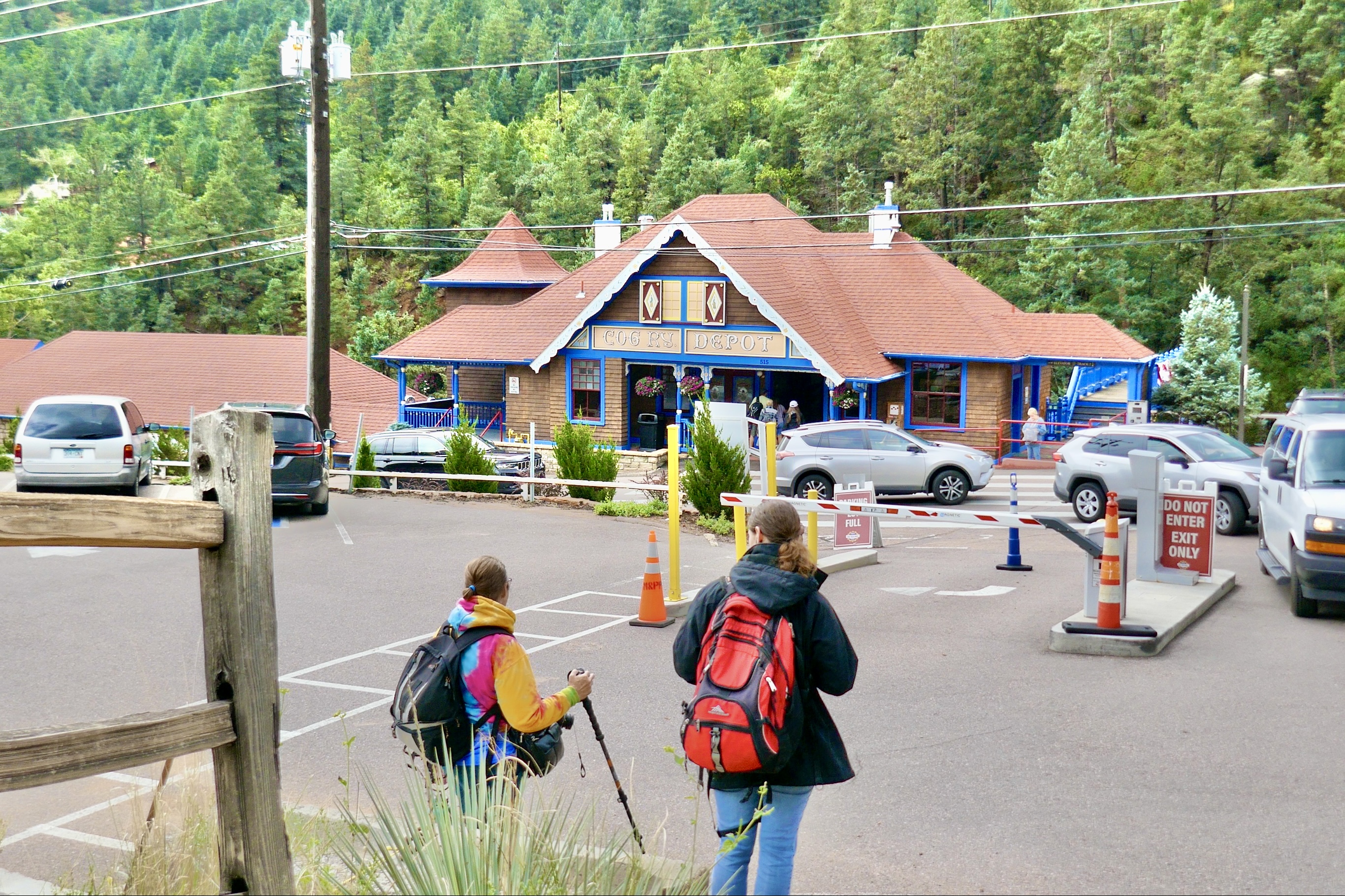
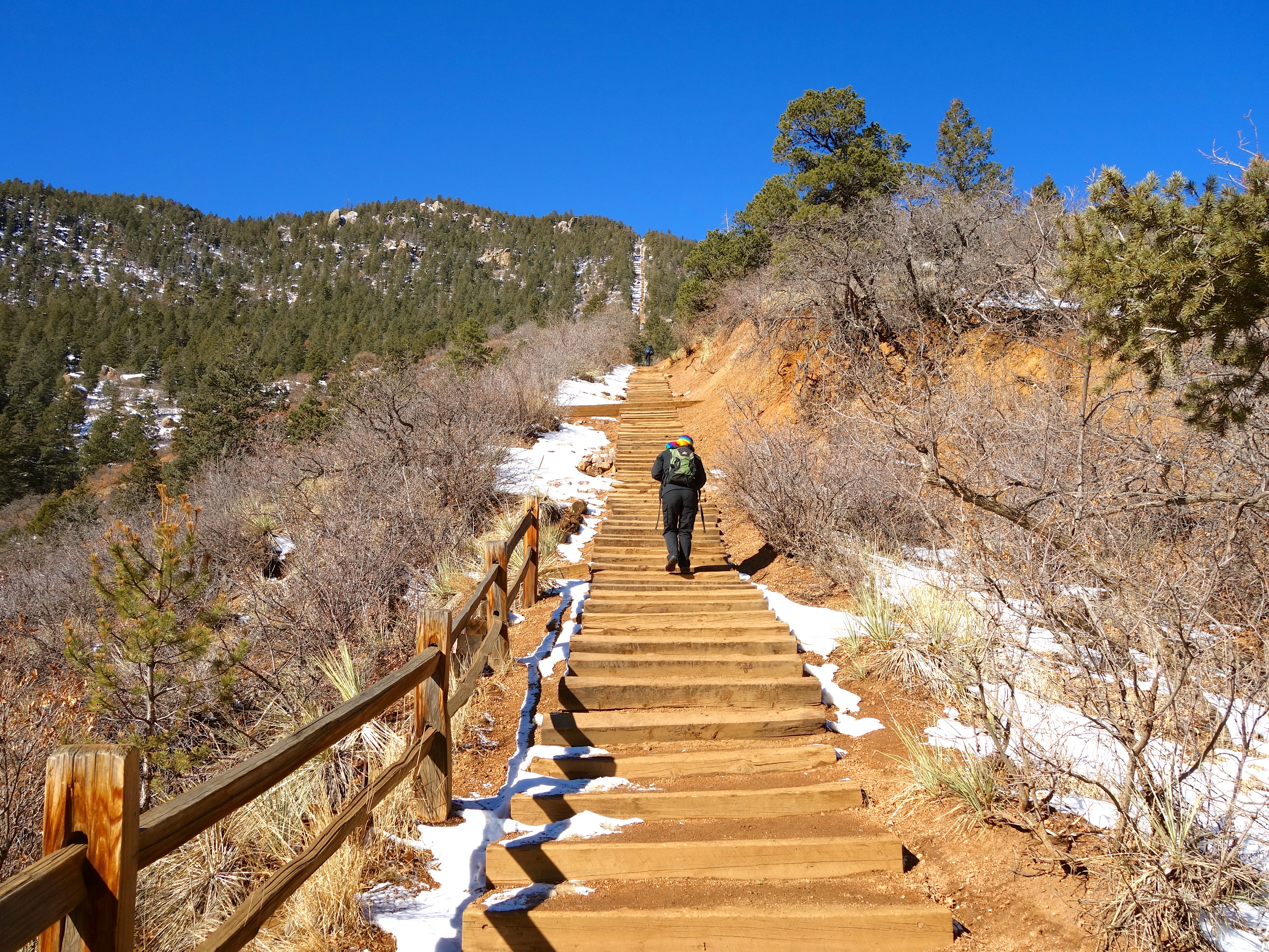
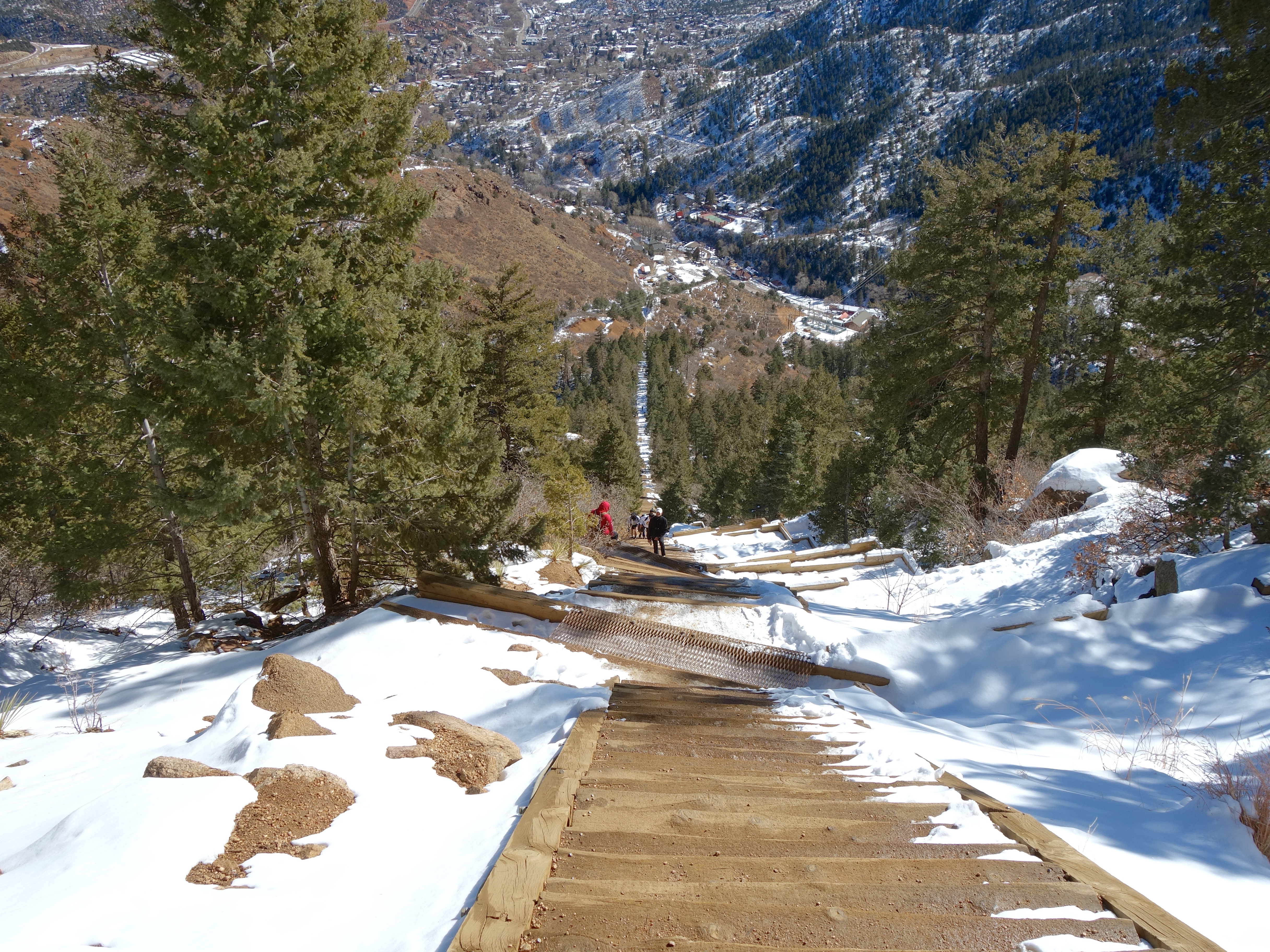
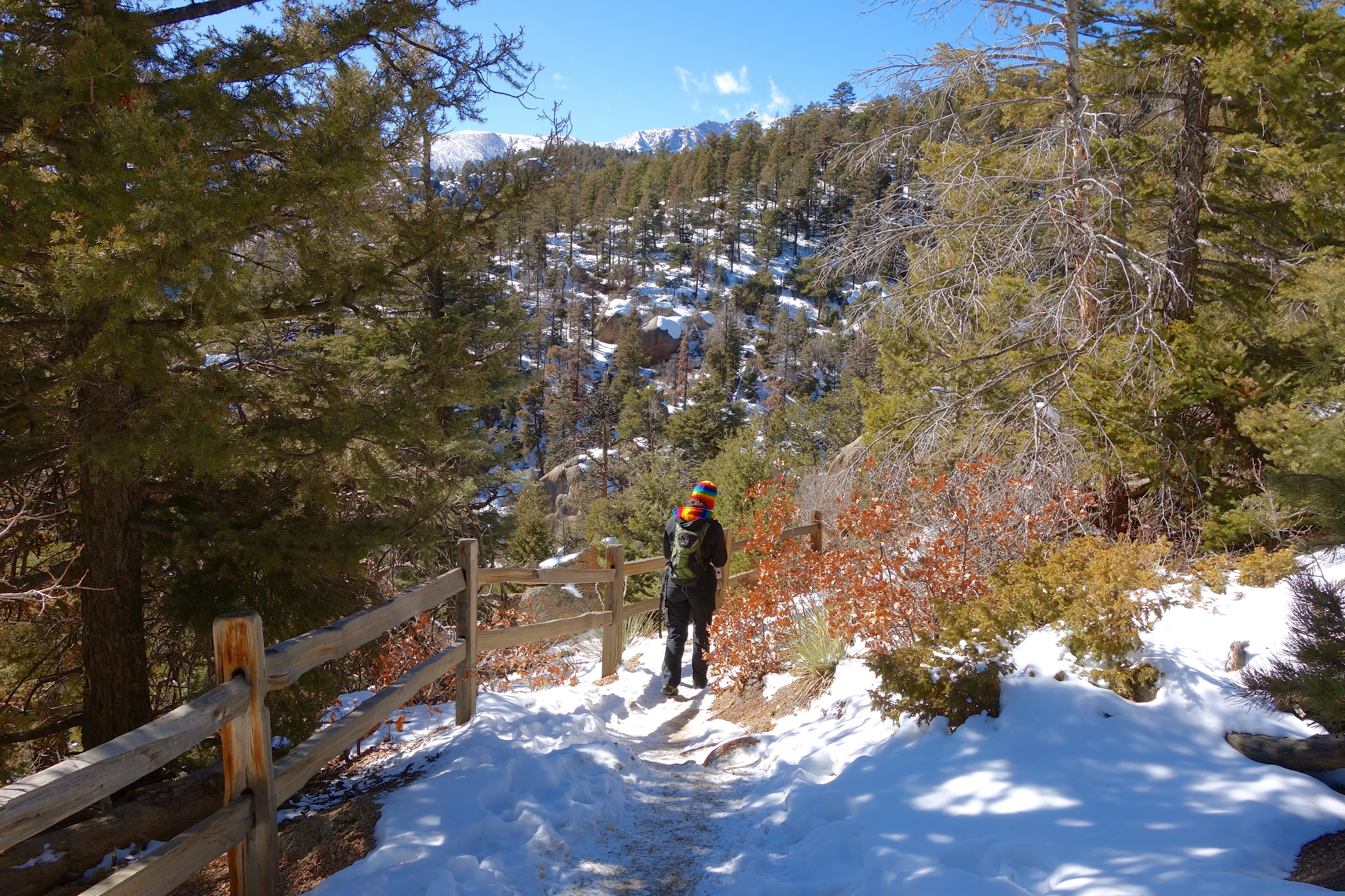
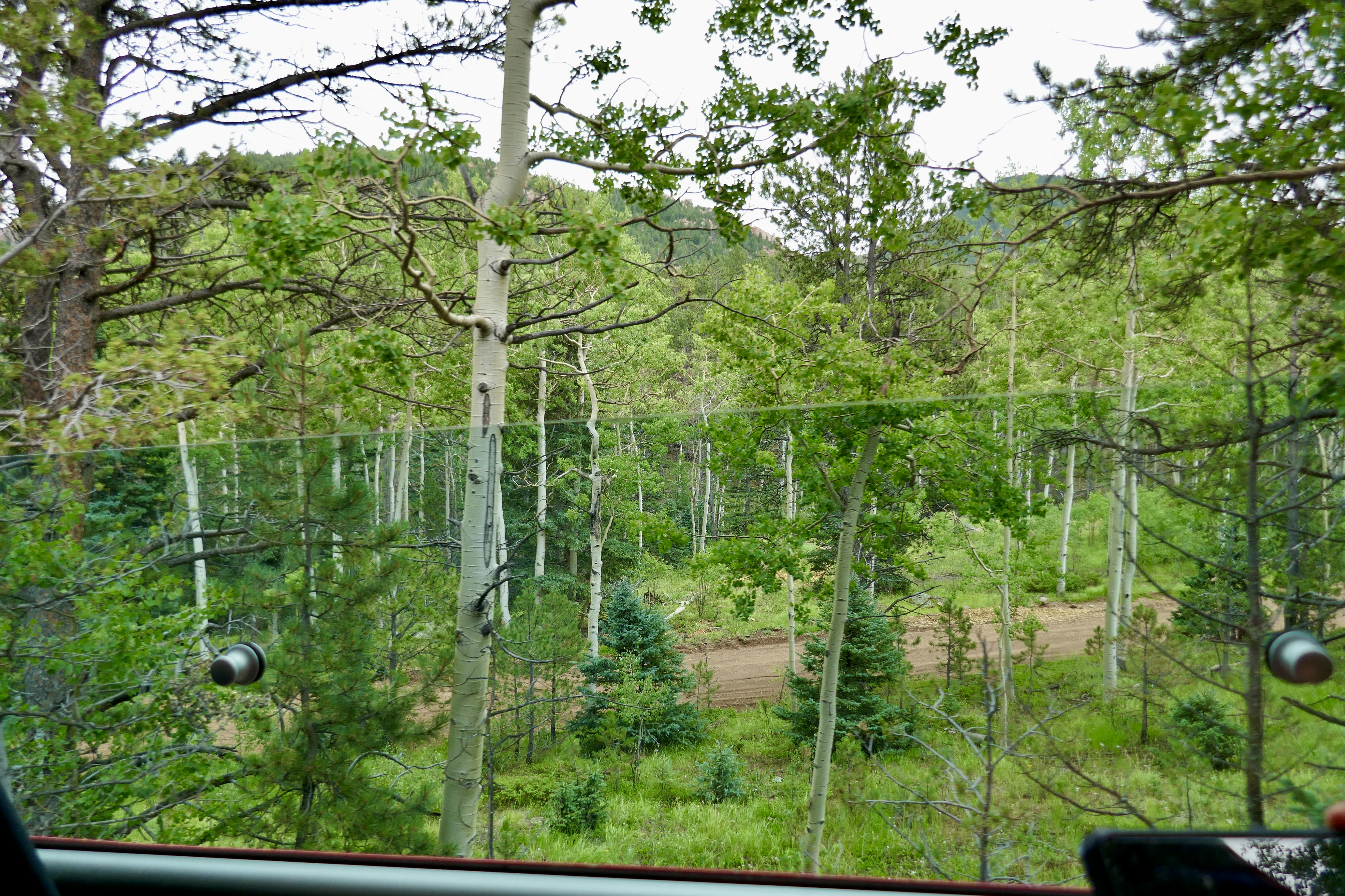
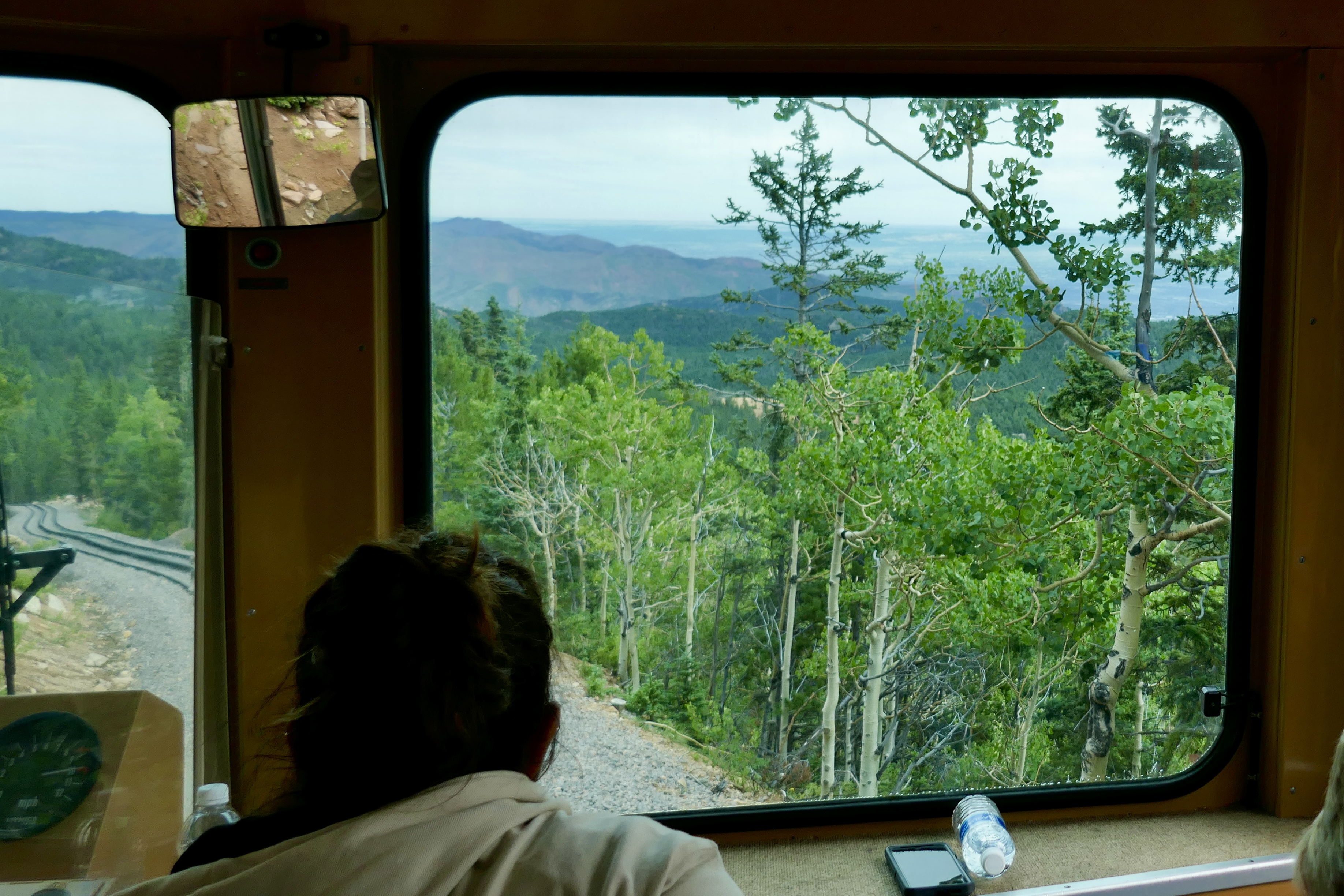
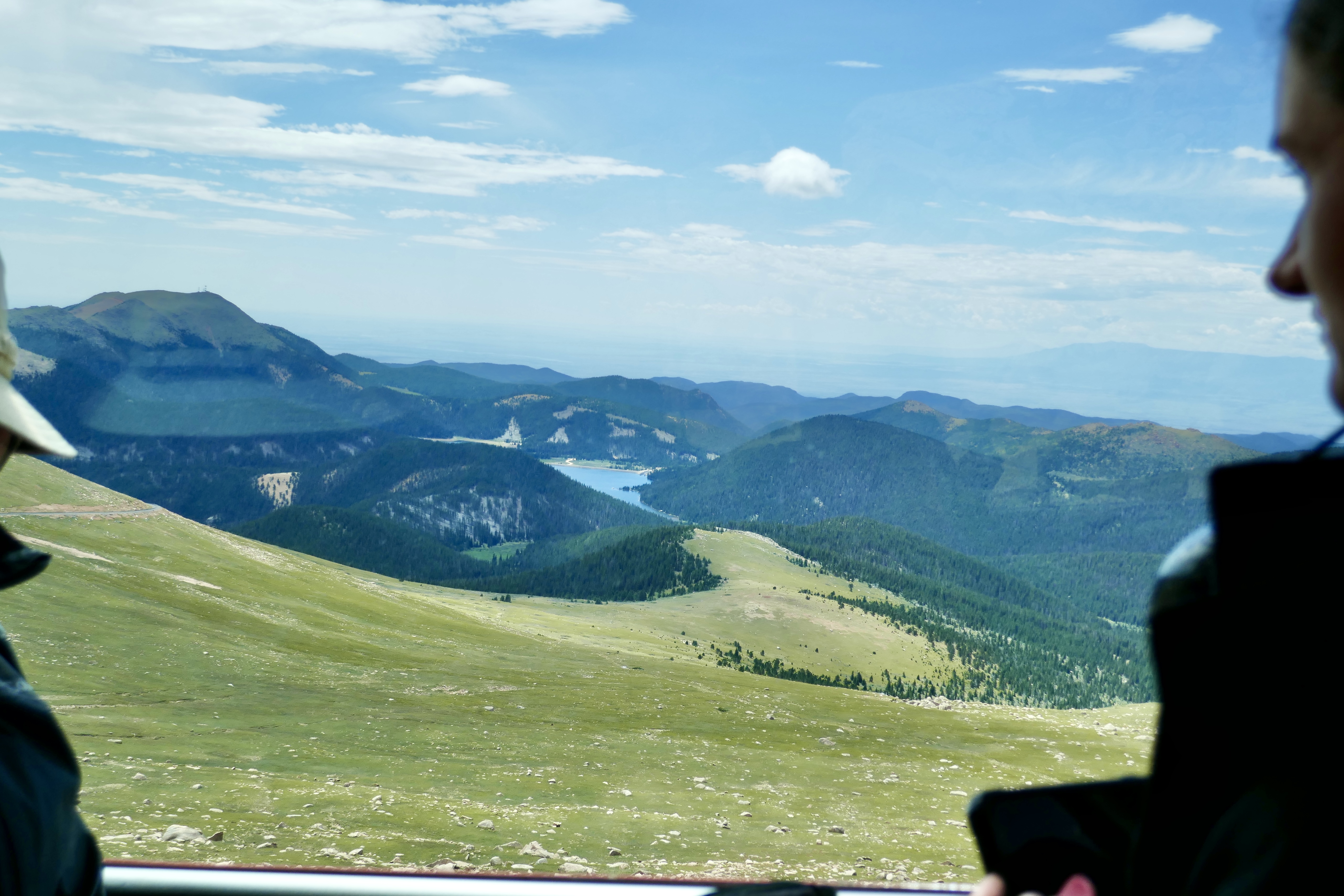
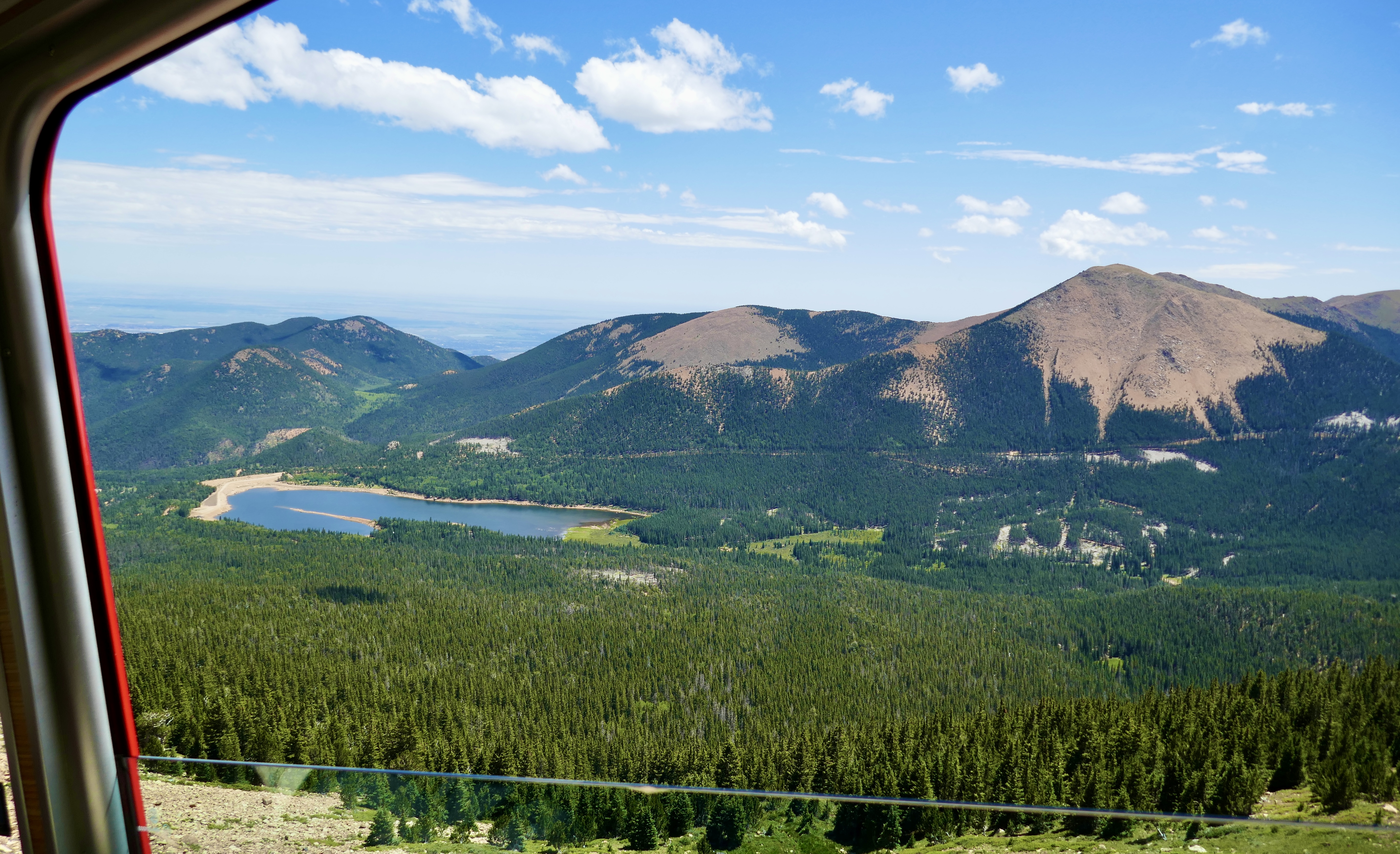
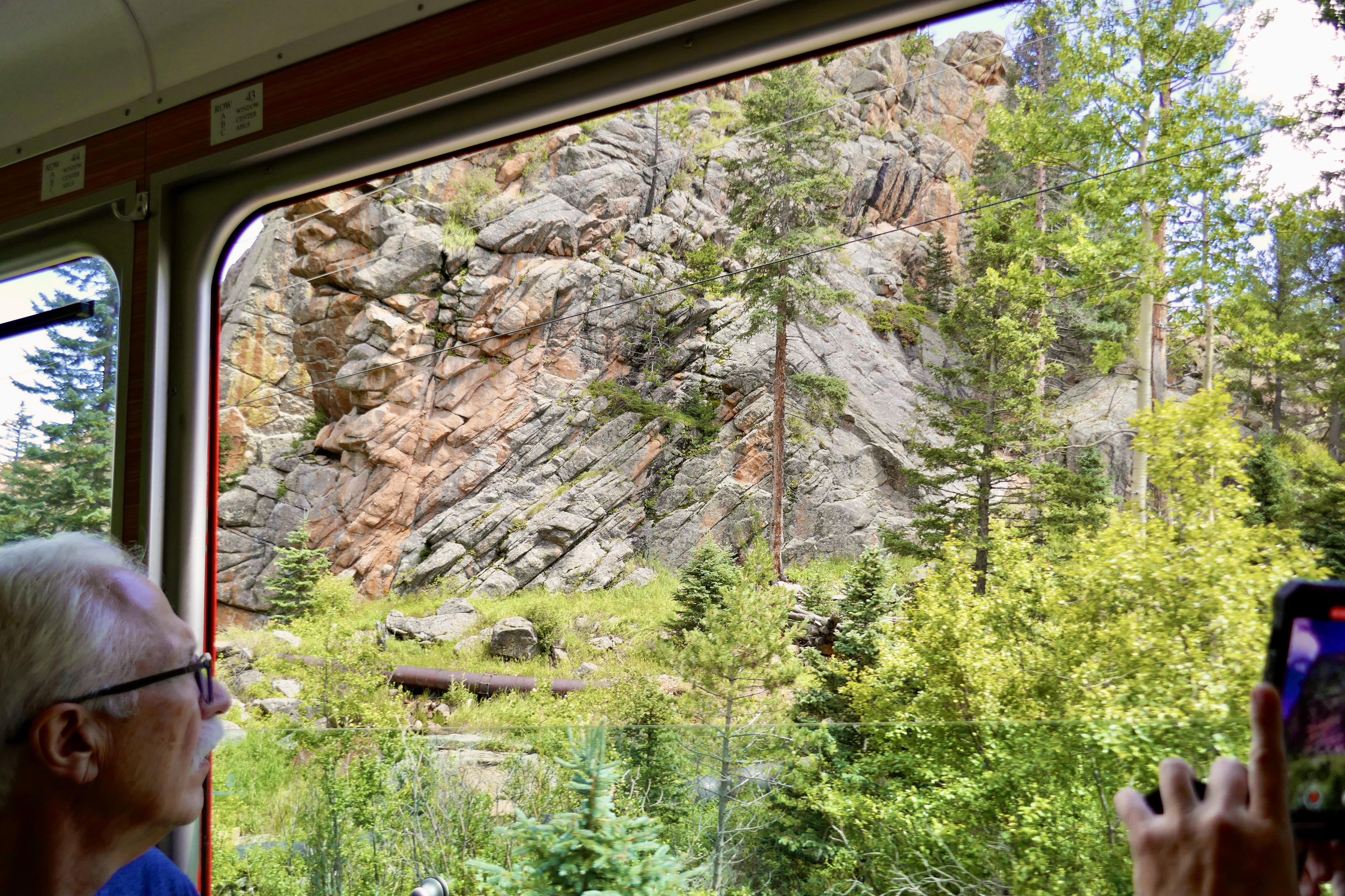
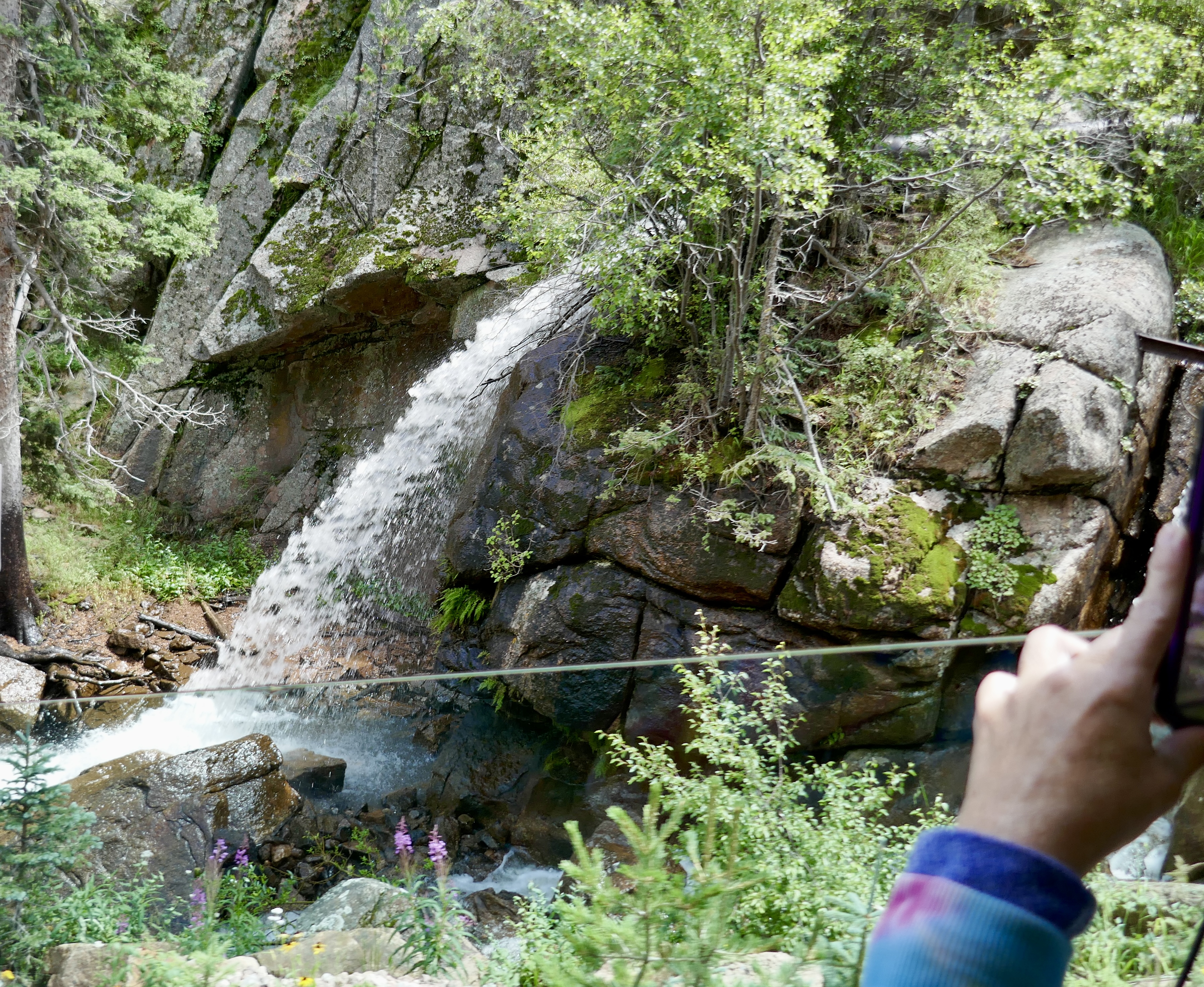
The depot sits roughly between the foot of the Manitou Incline and Barr Trailhead in Manitou Springs. As we rolled out of the station, the first views were green and lush.

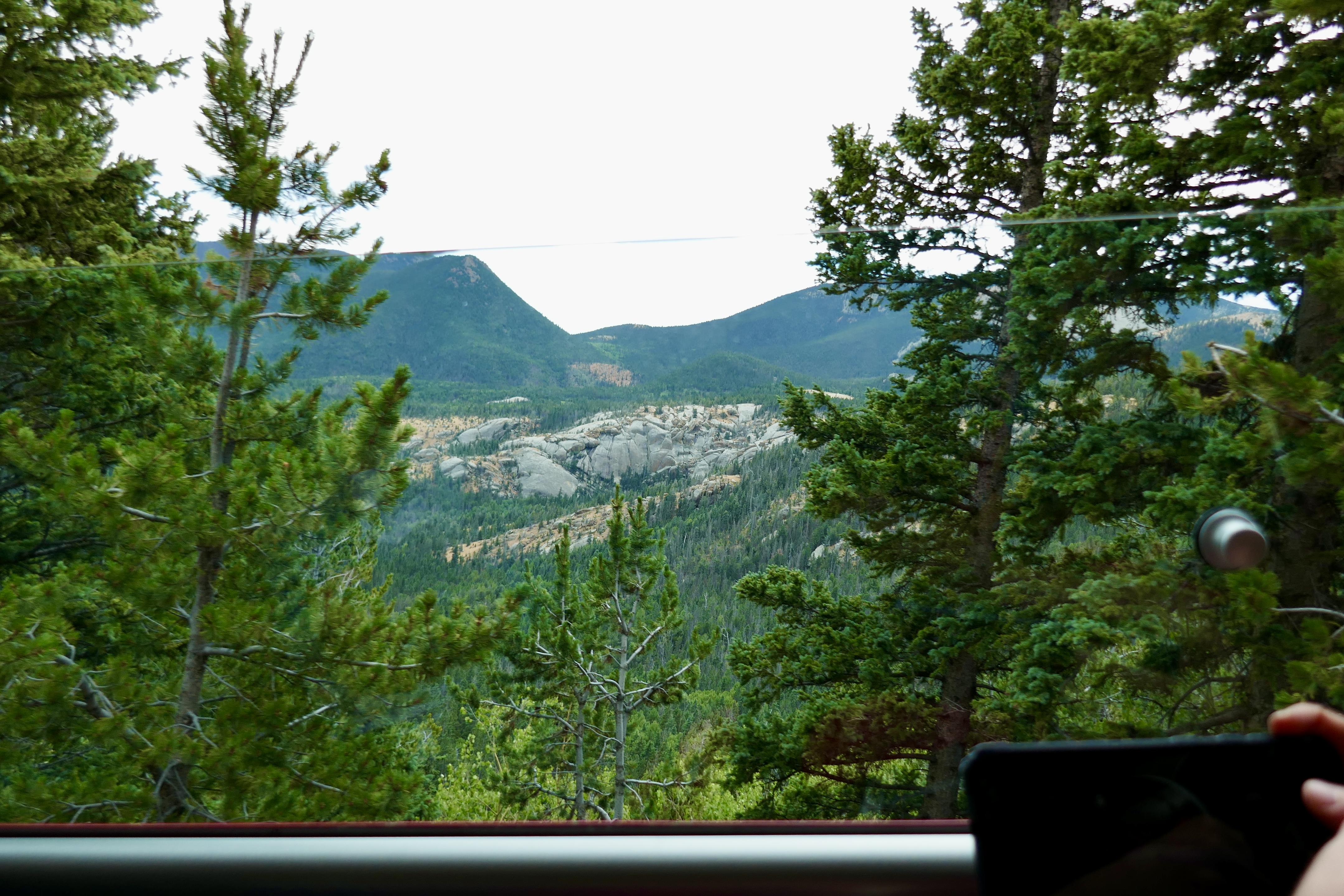
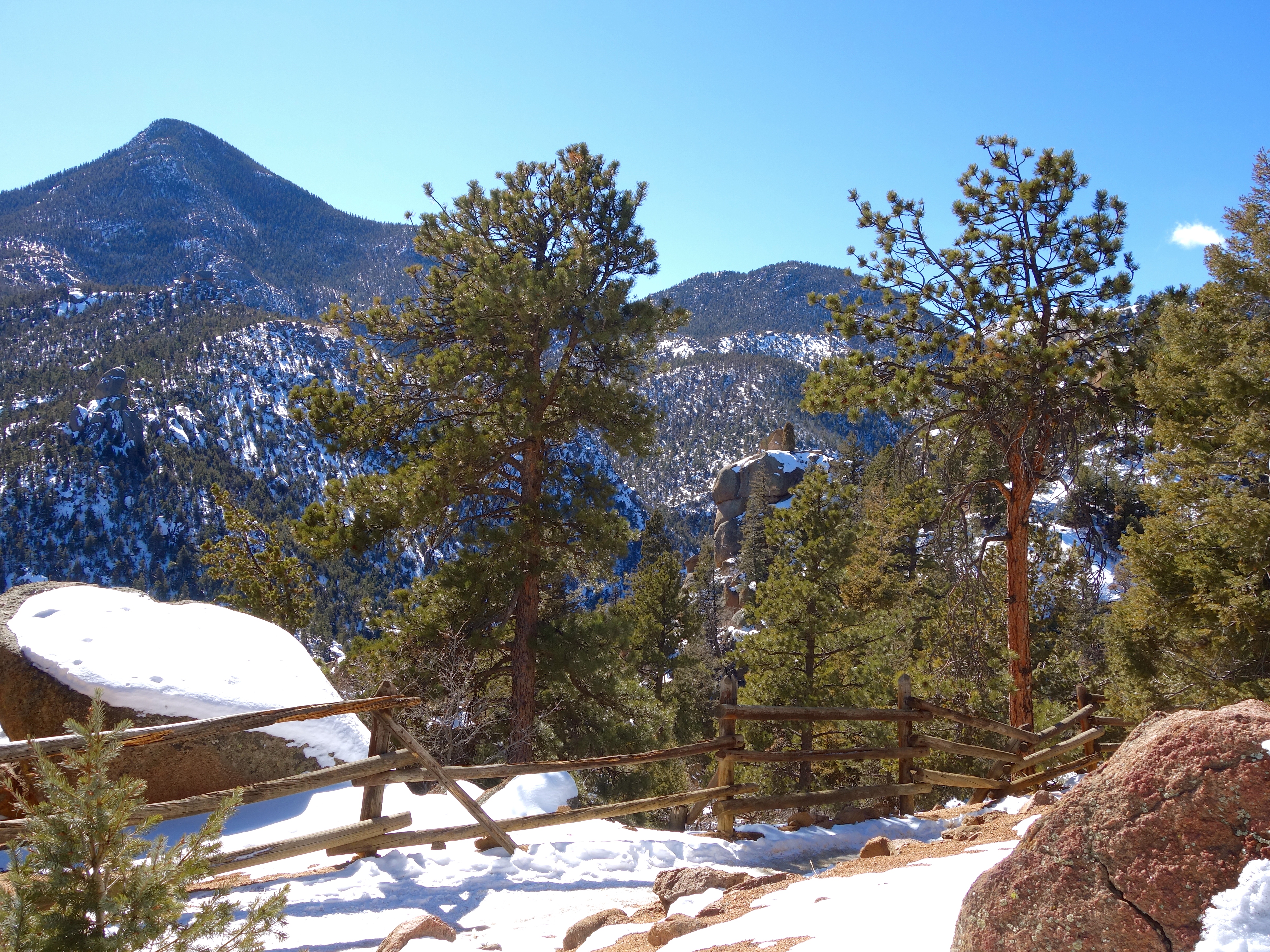
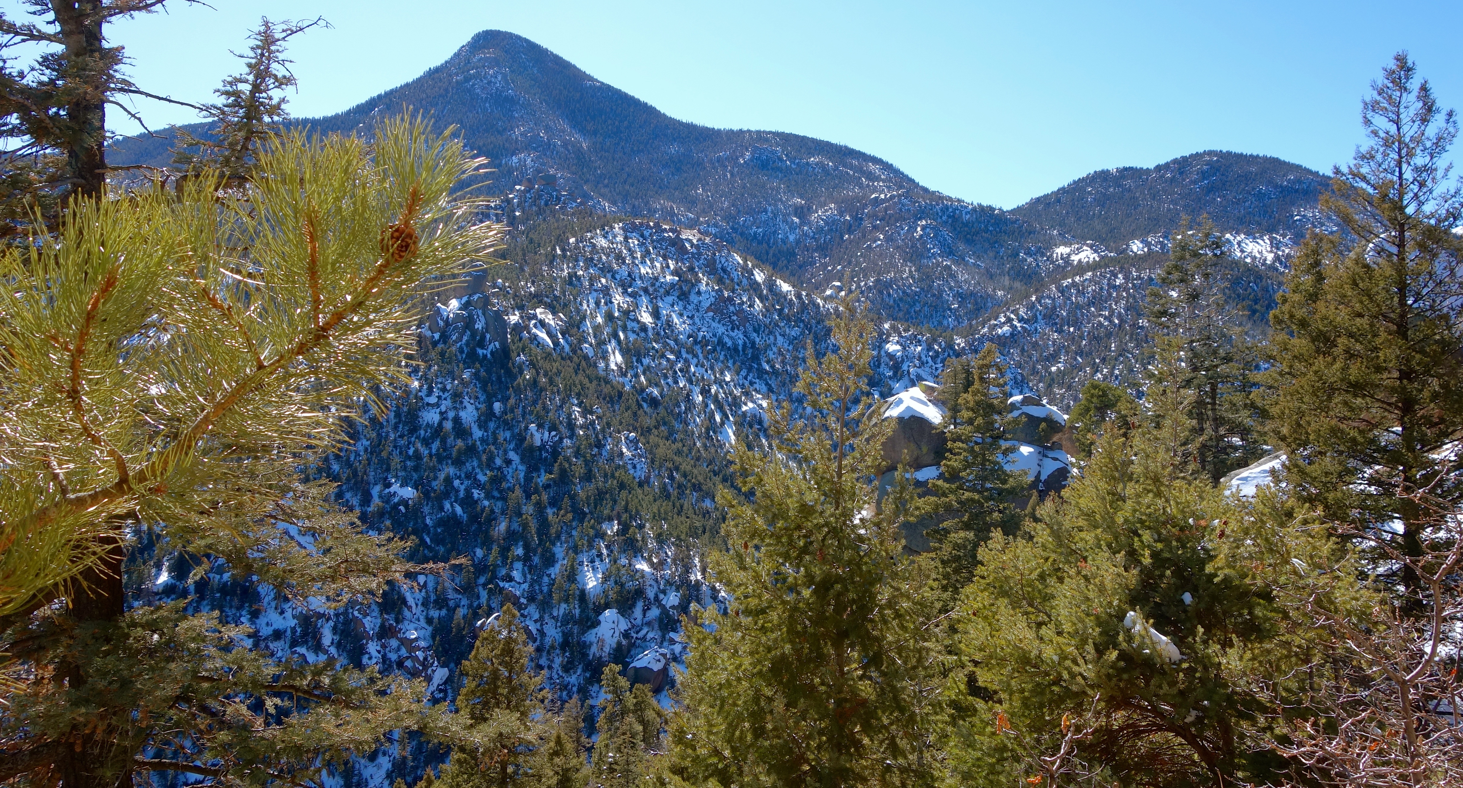
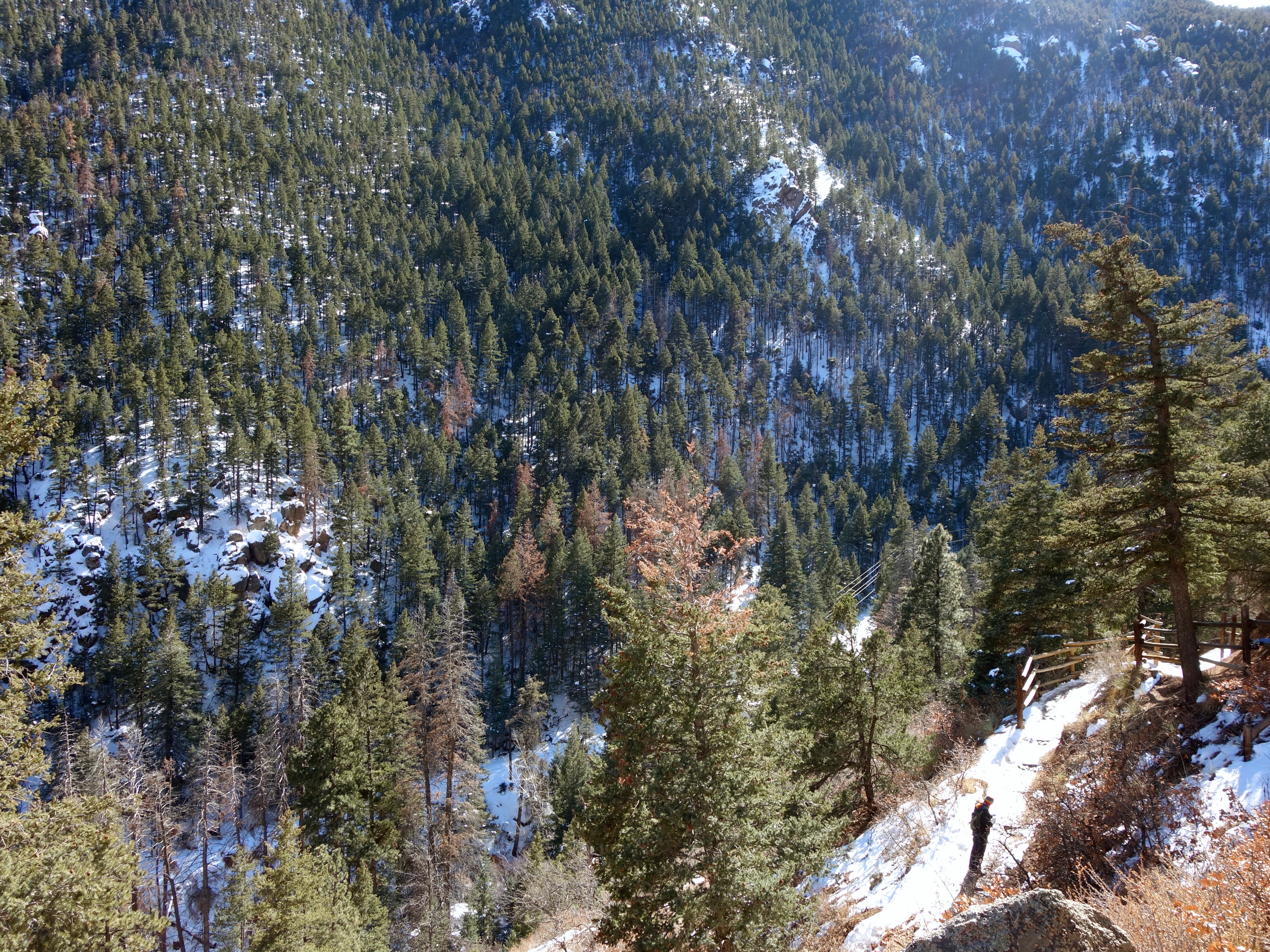
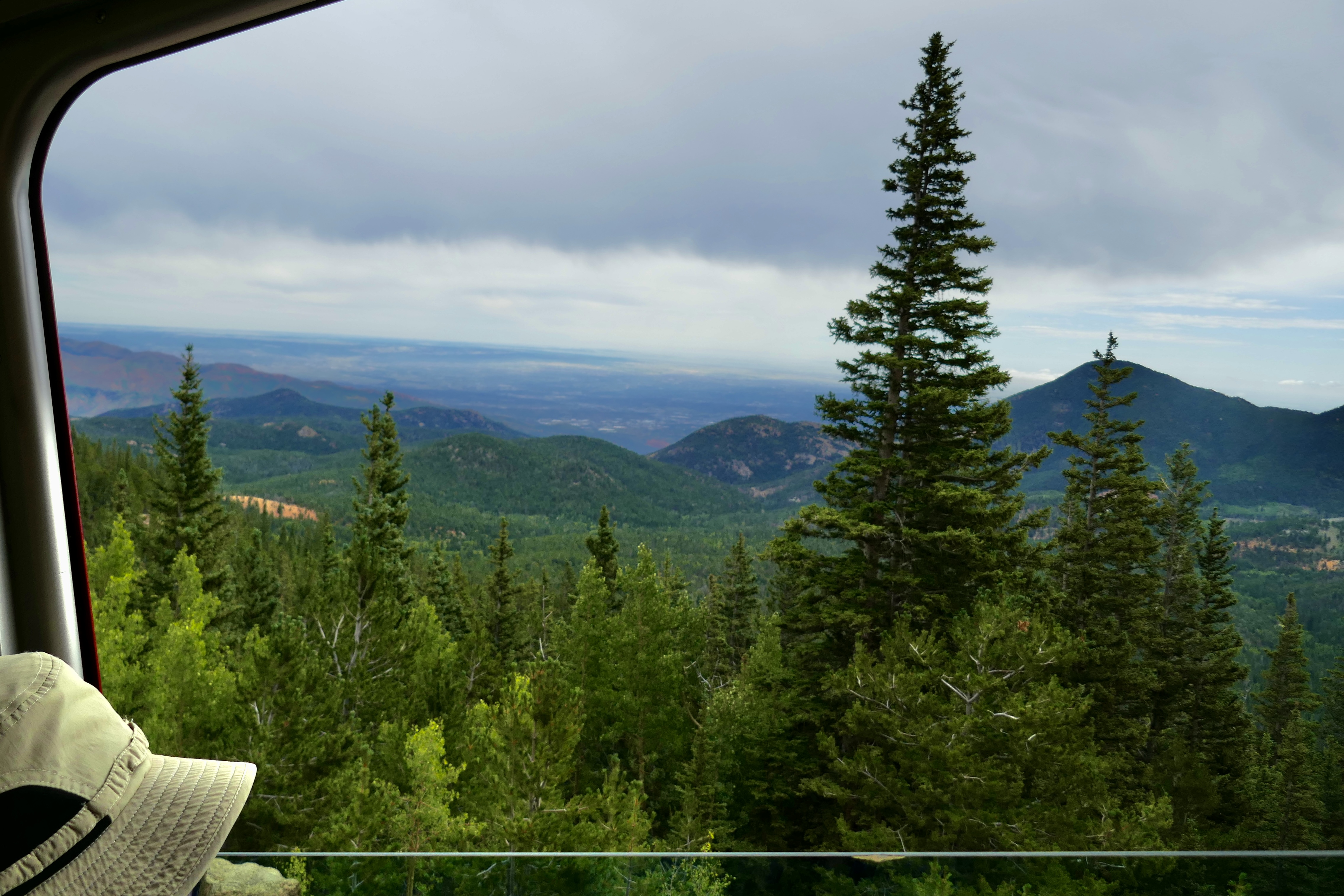
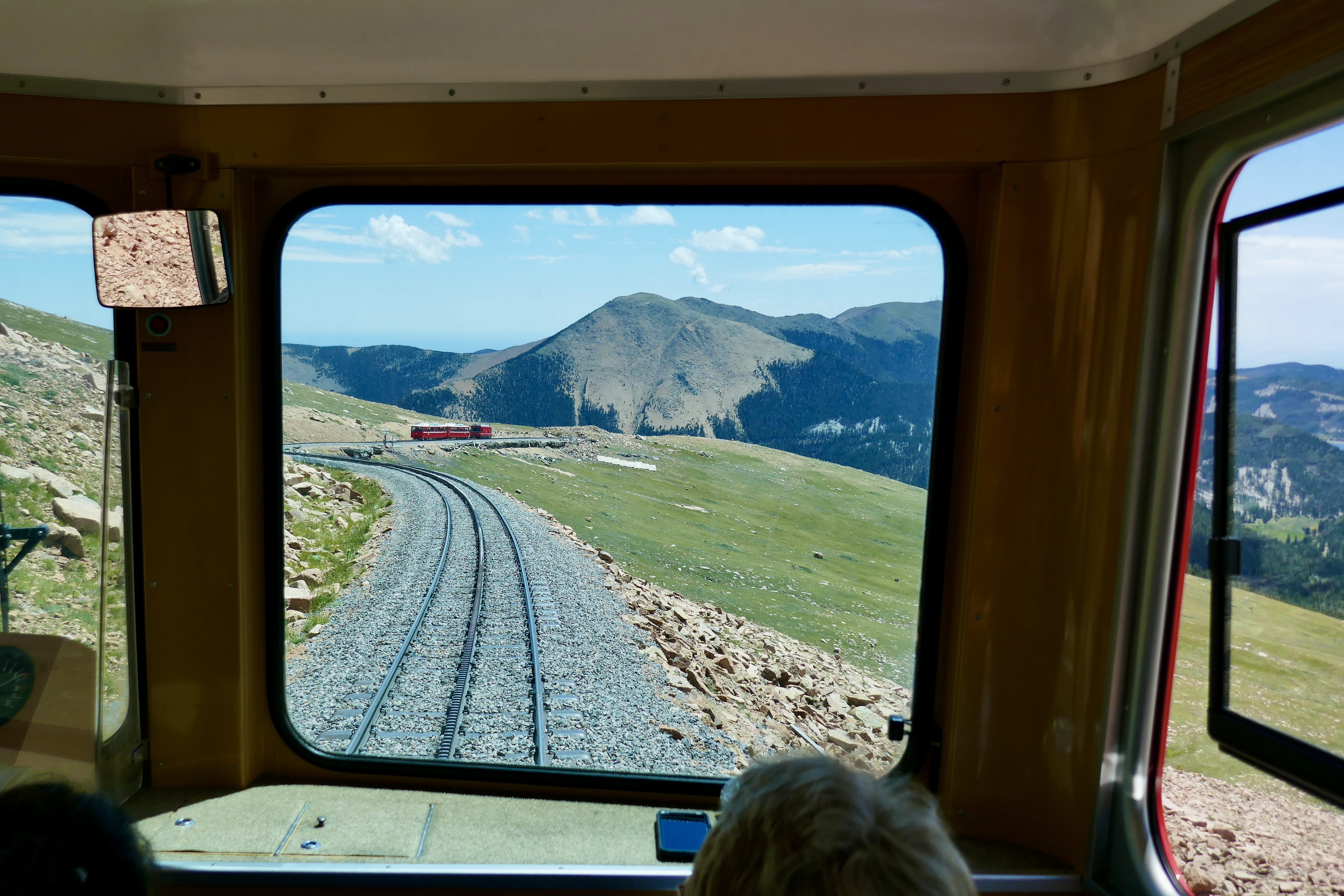
The views get more rugged as you get higher.

This majestic marmot was hanging out above the tree line, up in the tundra.

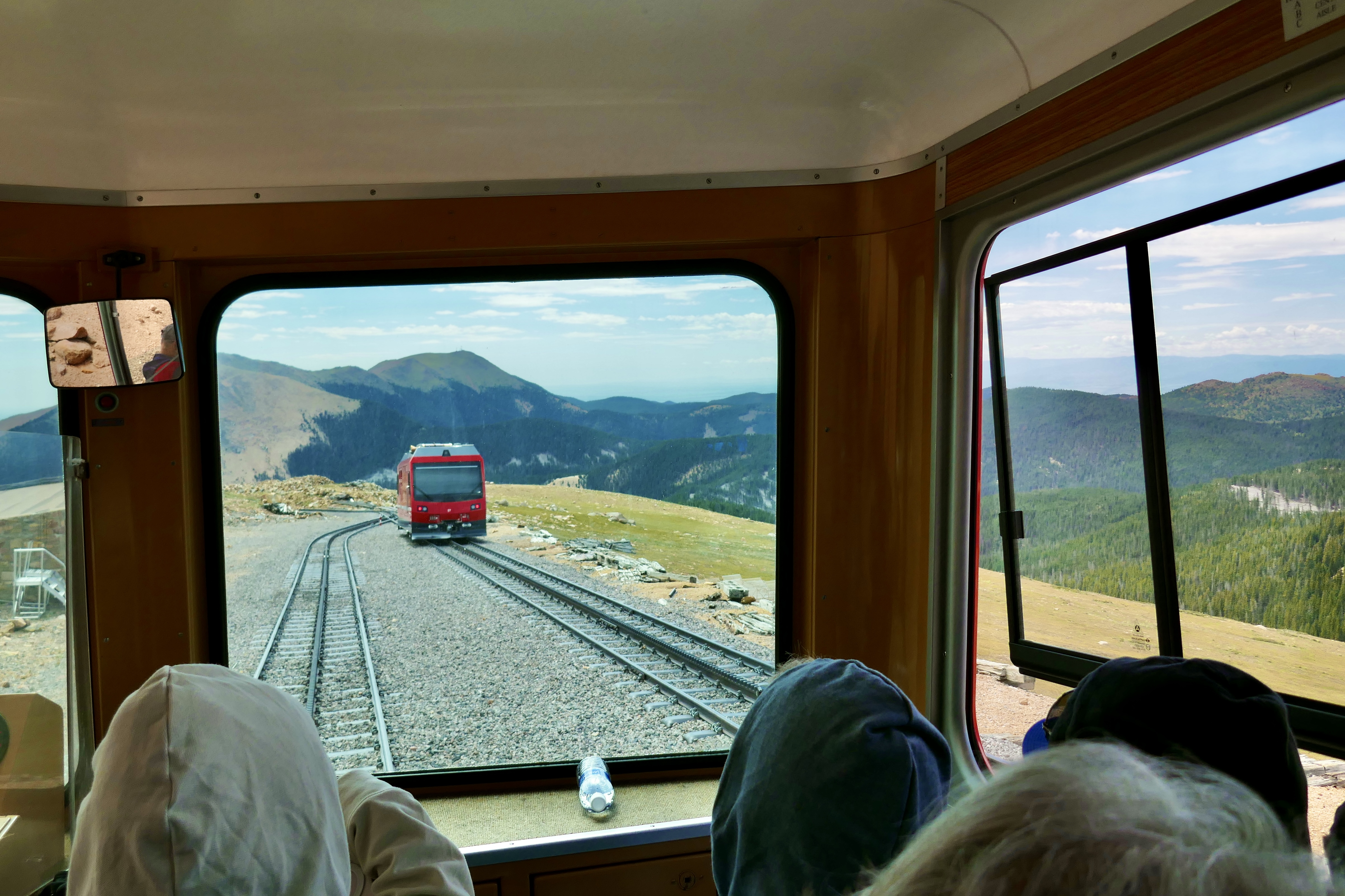
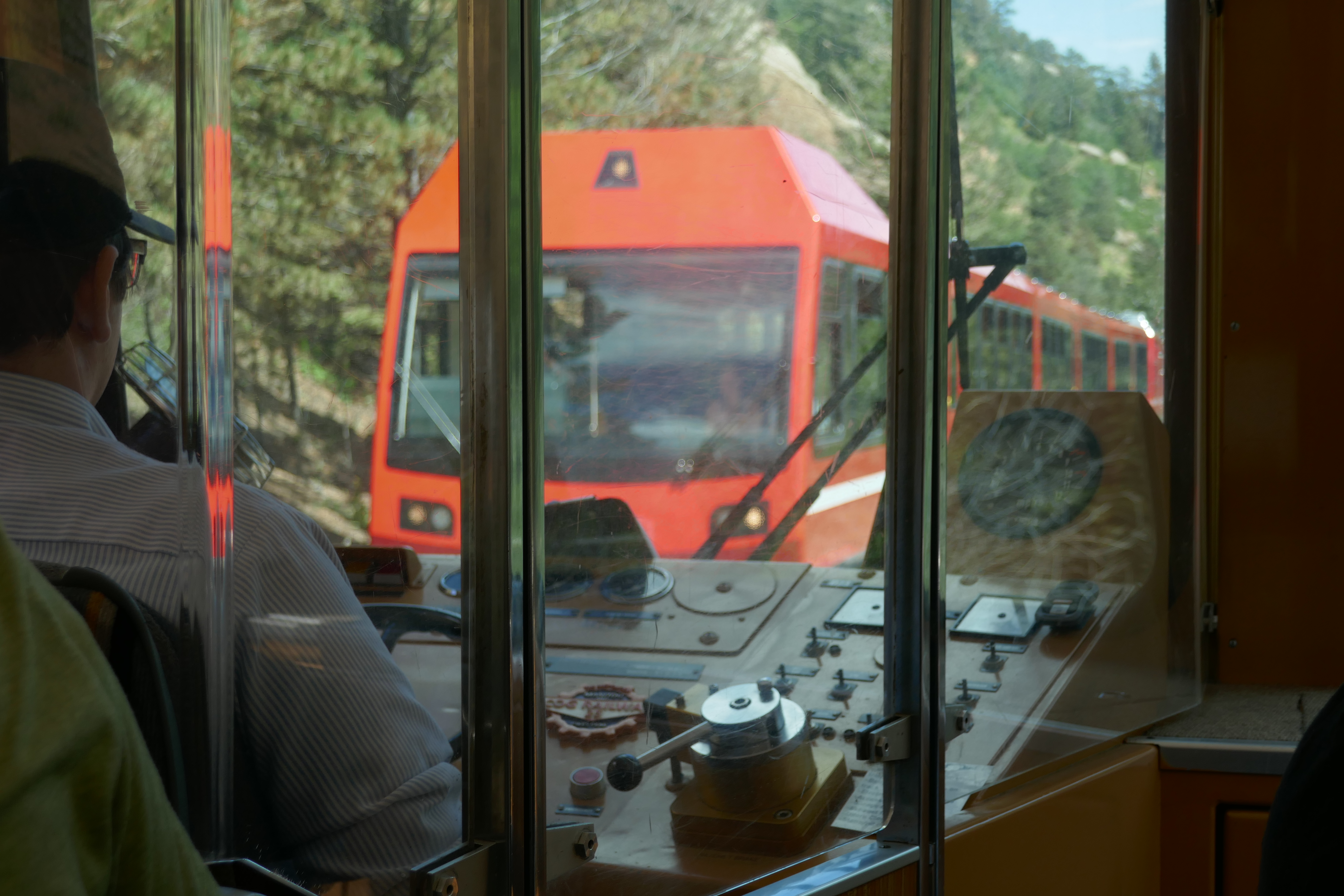
At one point we rolled off onto a side track to let another train descend.

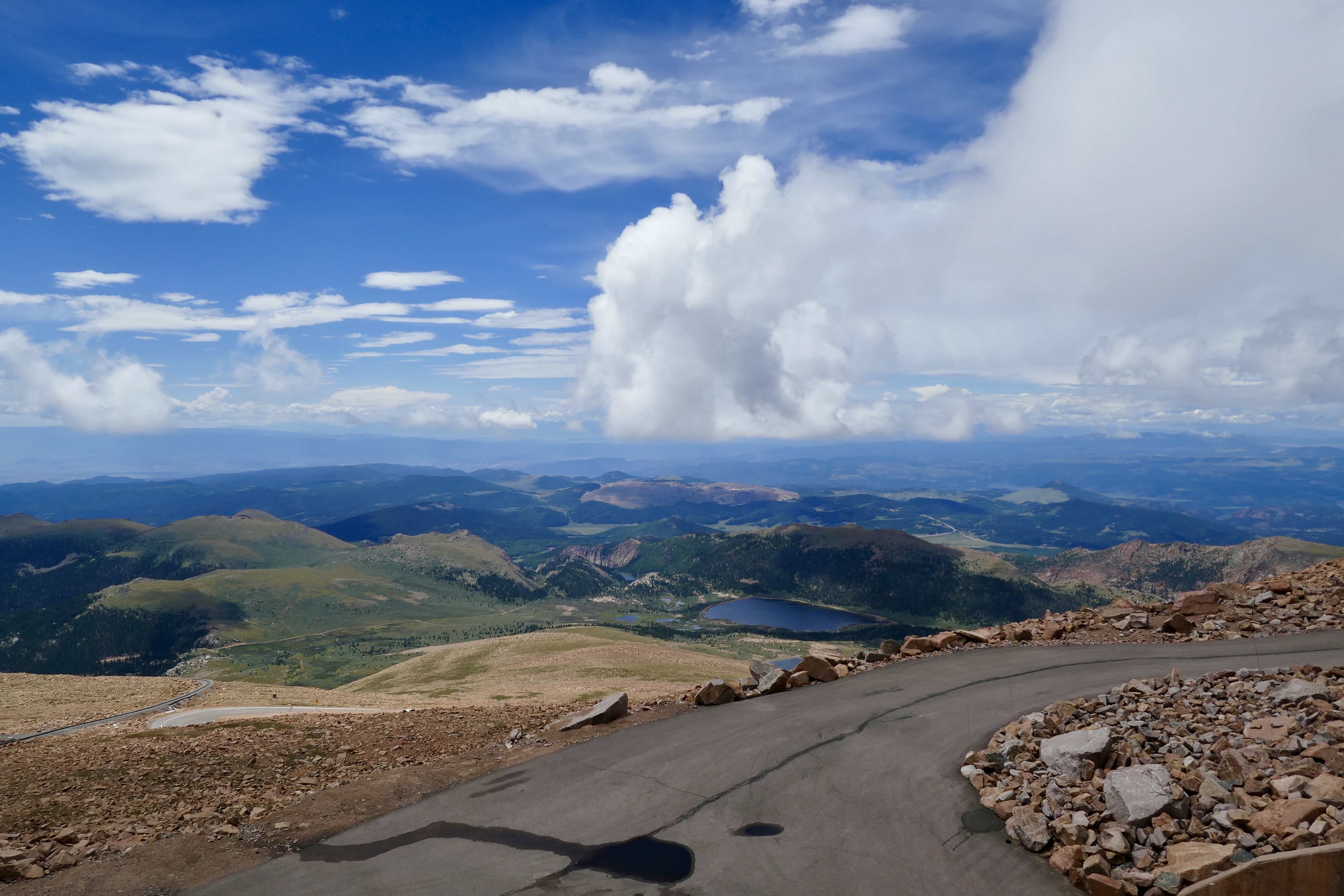
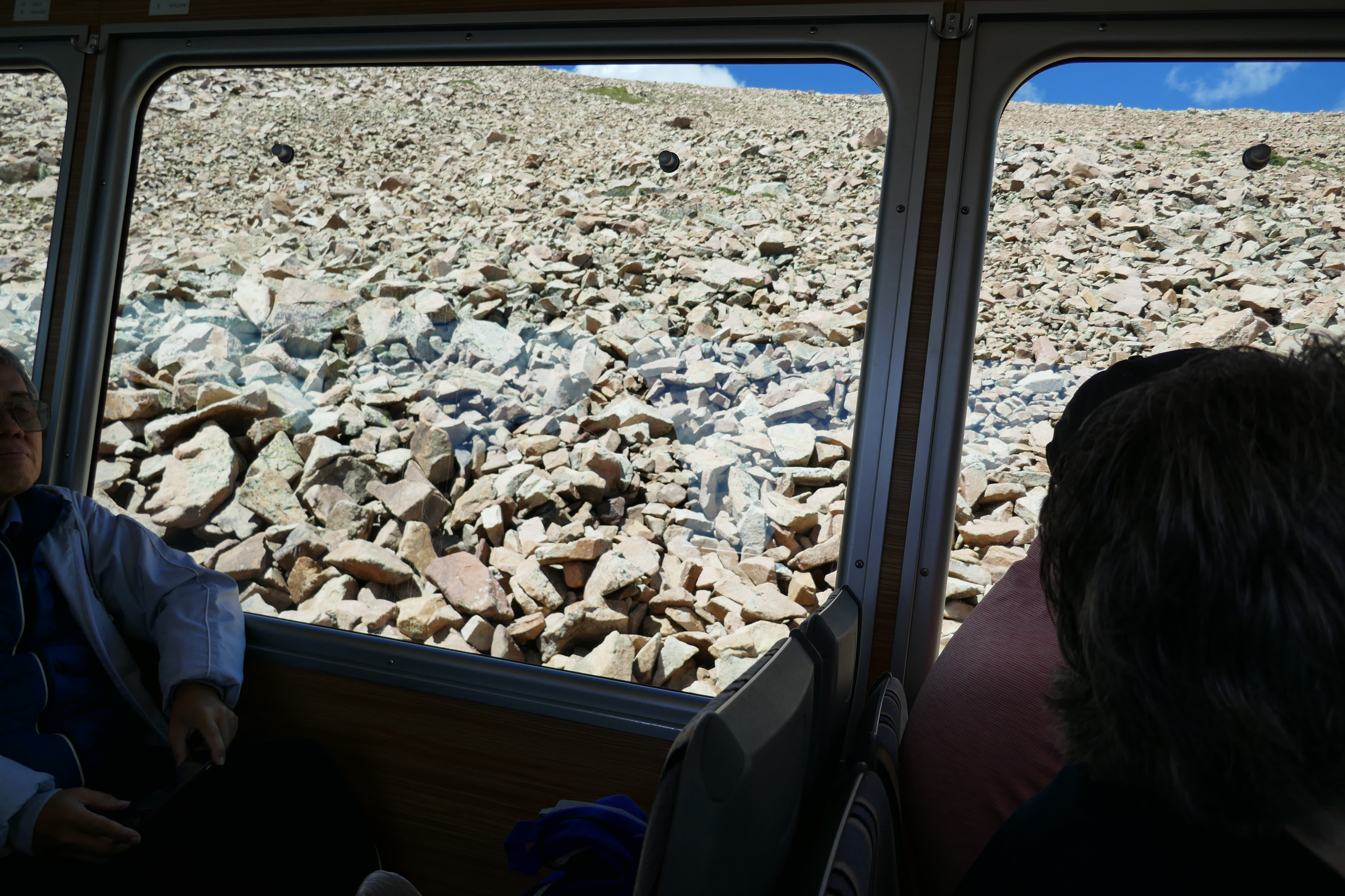
The tundra gets rockier near the top.

There is an active gold mine in the background of this photo, on the top right:

It takes about an hour and ten minutes to reach the summit.

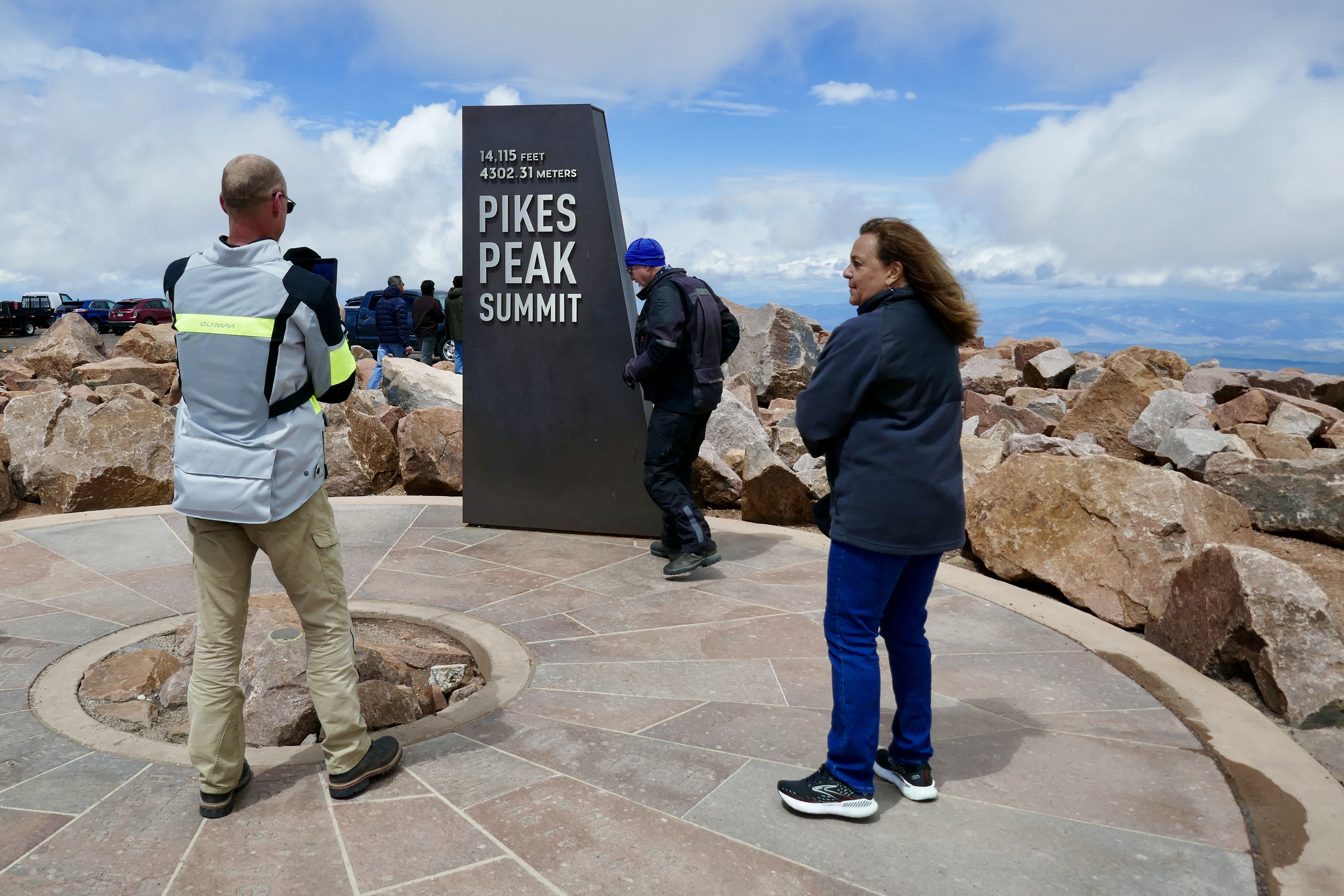
The new visitor center sits next to the ruins of the old visitor center from the 1800s.

We went in and ate lunch and got some famous Summit House donuts.

The peak was cold and windy, but we walked around and took in the views.

There’s also a road you can drive up. I think it would be fun to take a car or train to the top and then ride a bike back down.

After about 40 minutes we were called to reboard. The operator relocated to our car, which had been at the back of the train during the ascent, and was now at the front.

And back down we went!

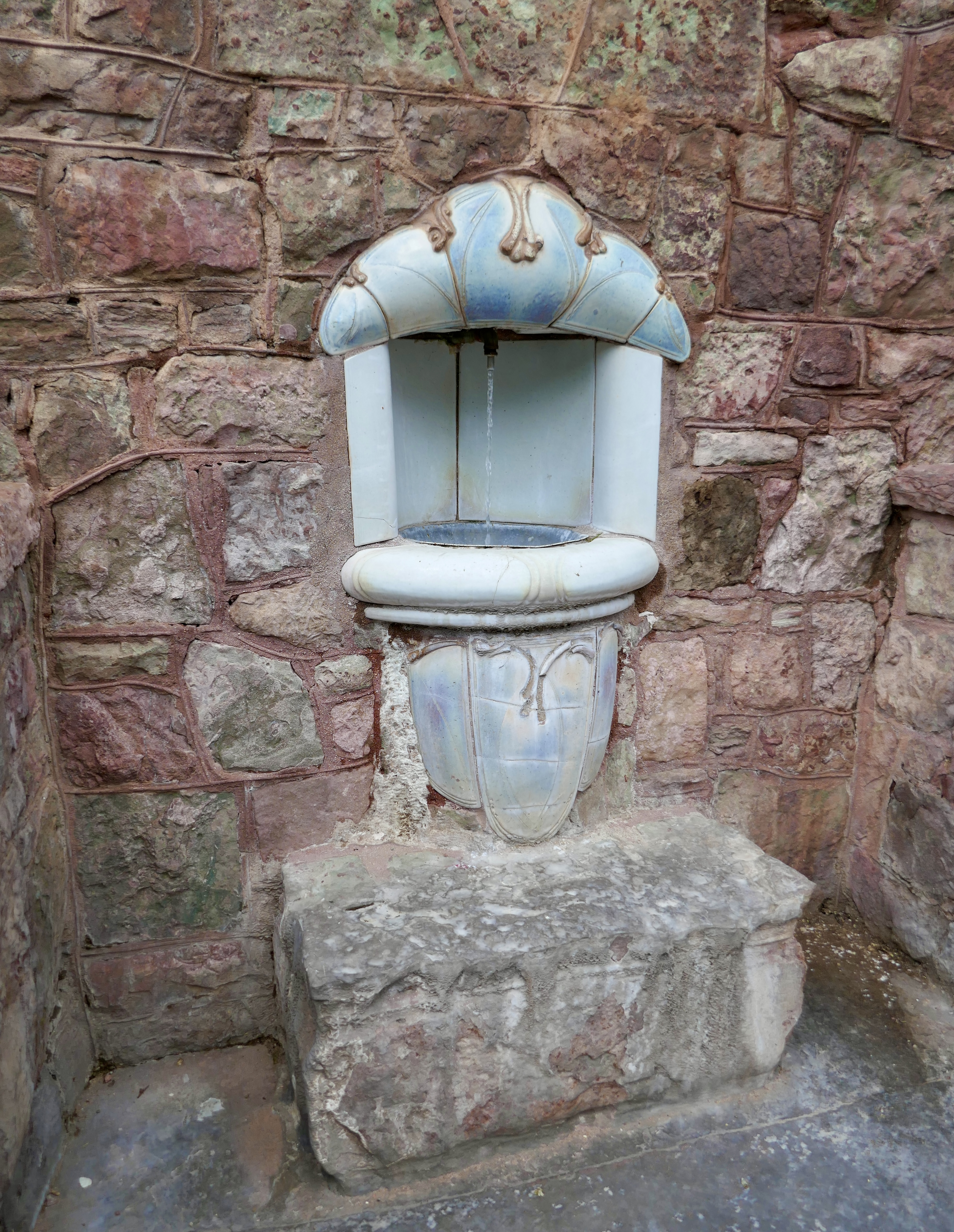
After disembarking, we decided to check out a couple of the local naturally-carbonated springs.

I’m kind of obsessed with them now. If I lived closer to Manitou Springs, I’d be taking gallon jugs to fill up with that spring water every week.

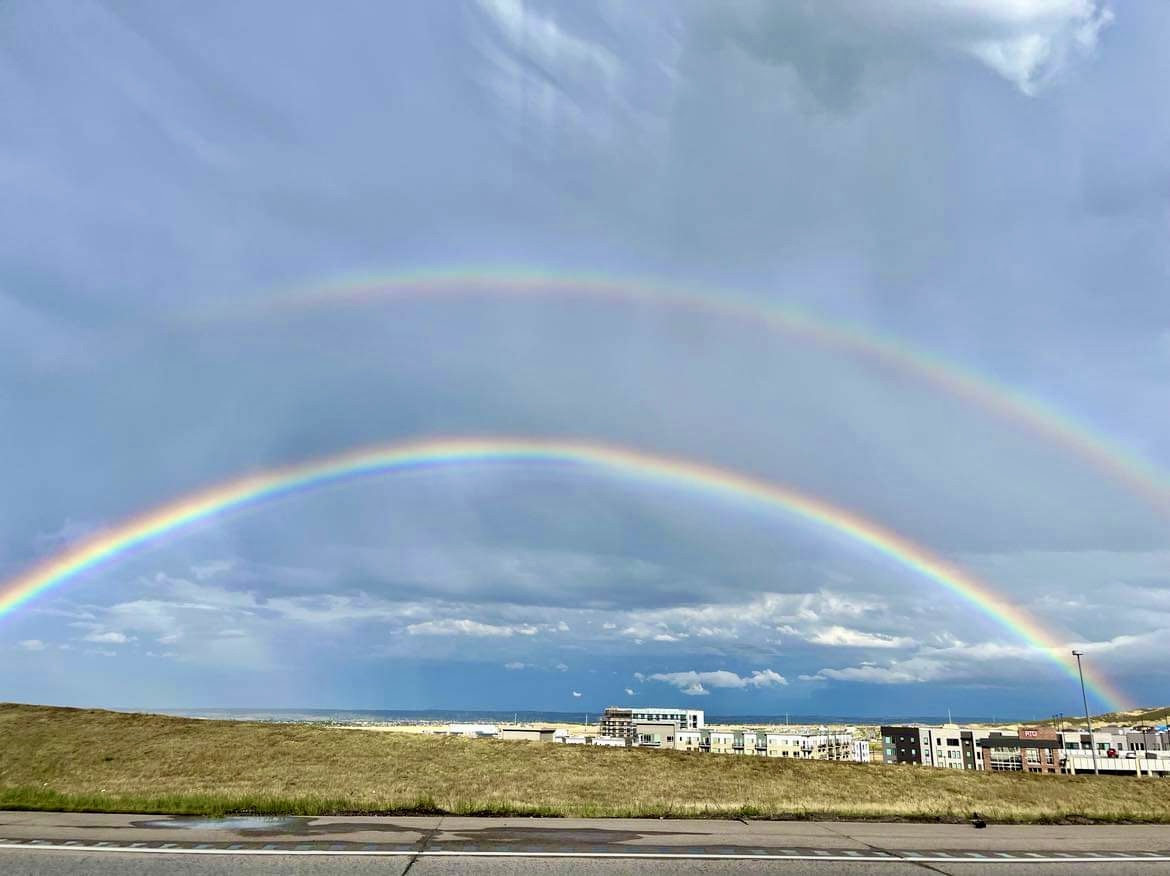
And on the way home–a double rainbow!

Whew. Now I can read another book.

And when I finish that, I’ll be back!

Categories: Animals, environment, Family, Friends, Life, Travel, trees, Wildlife | Tags: , , , | Leave a comment

Manitou Incline

Last weekend the kids and I set our sights on the Manitou Incline. It’s the remnants of what used to be a narrow-gauge railway tram up the side of a mountain, now just a long staircase of railroad ties. The Incline starts at an elevation of 6530 feet and tops out at 8550 feet, an elevation gain of 2020 feet in just under a mile.

When I told my coworkers that I planned to attempt the Incline, they earnestly assured me that there is no shame in failure.

The big day dawned sunny, cold and sparkling with a fresh layer of snow from the night before. We made the hour-and-a-half drive to Manitou Springs in a white winter landscape under intensely blue skies.

You can park right next to the Incline Base Camp for $10, but climbers are encouraged to use the free parking in town and ride the shuttle to the camp, so that’s what we did.

The Incline is free to climb, but for Covid safety they limit numbers by requiring reservations. We got our reserved QRcodes scanned and received bracelets. I told the kids not to wait for me, knowing I would take a lot longer than they would to reach the top. Luke took off up the stairs at an easy jog, and that was the last I saw of him for the rest of the climb. Elizabeth set a more relaxed pace; I could at least see where she was  most of the time.

The grade is nice and gradual at first. It’s a good warm-up. Every couple hundred feet there’s a marker that tells you how many steps you’ve climbed, which is nice.

Most of the snow had melted away in the sun and the foot traffic, but in the shady spots it had packed down to something like ice. We were lucky that better-prepared hikers with microspikes on their shoes had roughened up the ice on the steps, so we didn’t slip around much.

The grade got steeper as we climbed higher.

Pretty soon we were climbing for real.

About two-thirds of the way up, an “exit ramp” connects to Barr Trail.

We didn’t take it, but we do have future plans for Barr Trail. If you follow it up instead of down, it leads to the summit of Pikes Peak! That’s an adventure for another day.

Once past the exit ramp, the Incline gets quite steep.

This is where I really started to feel the altitude and started to take more rest breaks. It’s about where Elizabeth left me behind.

At this point I was managing about twenty steps in between stops to catch my breath. But the top was finally in sight!

The snow was deeper now in the shade.

Getting closer!

We were high enough now to get a nice view of the eastern plains.

Almost there!

We made it!

I took me about two hours to make it to the top. Luke had been waiting there for about 45 minutes. He hung out with us for a few minutes and then headed down the descent trail. Elizabeth and I ate the snacks we had brought and savored our accomplishment. I may have texted a smug summit photo to my coworkers.

The Incline is supposed to be a one-way ascent, although a few joggers ran it it both directions while we were there. Most of us took the descent trail down.

This is another connection to Barr Trail. From the top of the Incline to Base Camp via the trail is almost three miles, but you travel a lot faster going down than coming up. It’s a gorgeous trail even in midwinter.

I like this shot of Elizabeth below me on the trail.

I have two or three fourteeners on my summer to-do list, so the Incline was a good way to gauge what kind of shape I’m in for that. The verdict: my climbing muscles are in decent shape, but the altitude has me gasping for air and I could stand to lose a few pounds. It’s hard to get outside as much in the winter here; hopefully in the spring I can get back to hiking more. And maybe carry a bottle of oxygen with me into the higher altitudes.

The Incline is a great hike year-round, though. Highly recommended!

Categories: A Plethora of Parks, Covid-19, environment, Family, Life, Weather, Winter | Tags: , | 1 Comment

Blog at WordPress.com.