
Each loop I charted on this project was longer than the one before. For the last one, I went back to the Ridgegate Station in Lone Tree, rode south to reconnect with the DOT at the beginning of Segment 11, and then curved up through Parker and Cherry Creek State Park and back into Aurora, through segments 12, 13, 14 and halfway through 15, where I had started my journey back in May. Roughly 35 miles, give or take a couple. I need to start tracking my mileage on these explores.
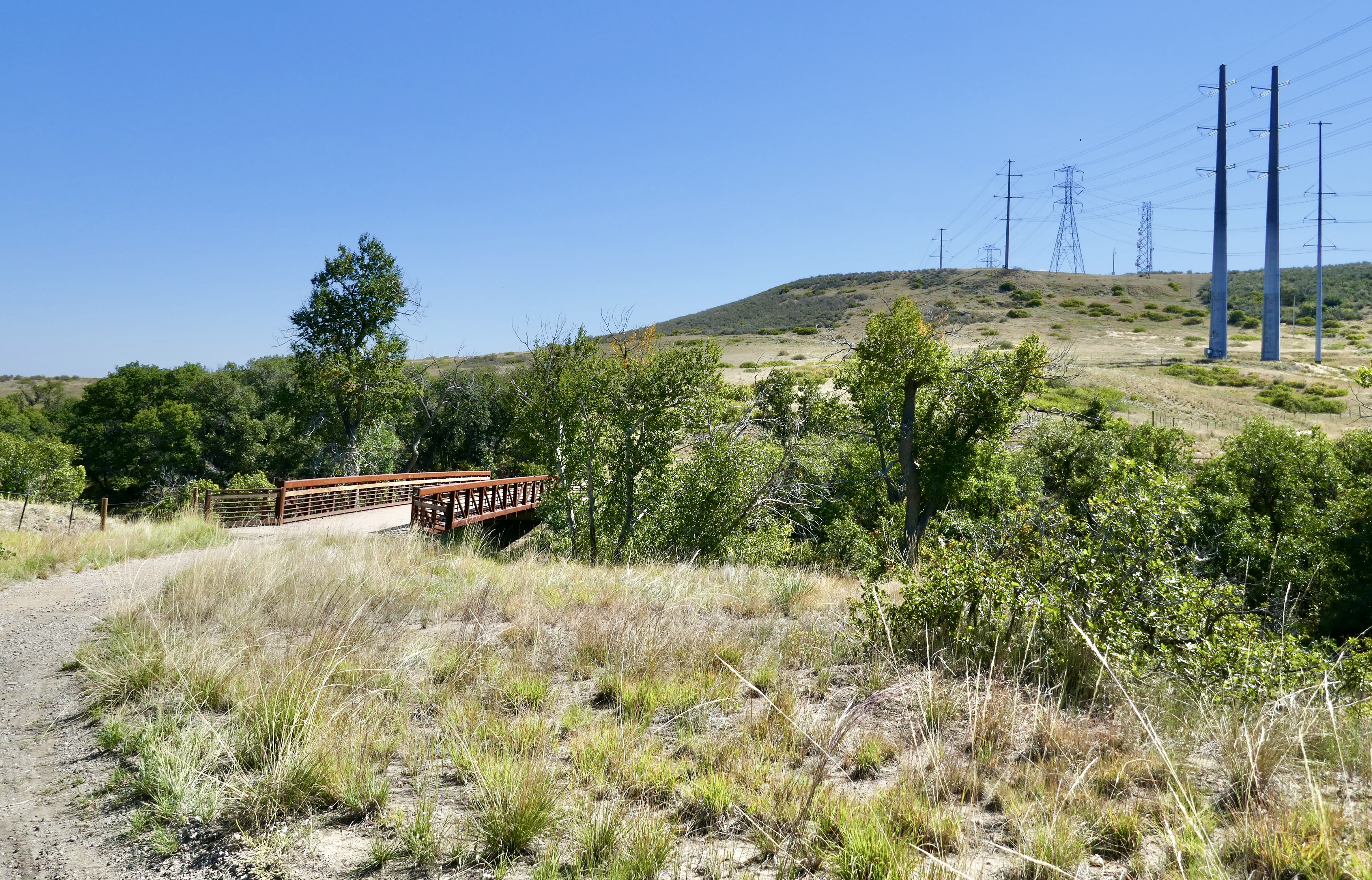
Segment 11 winds east on the East/West Regional Trail.
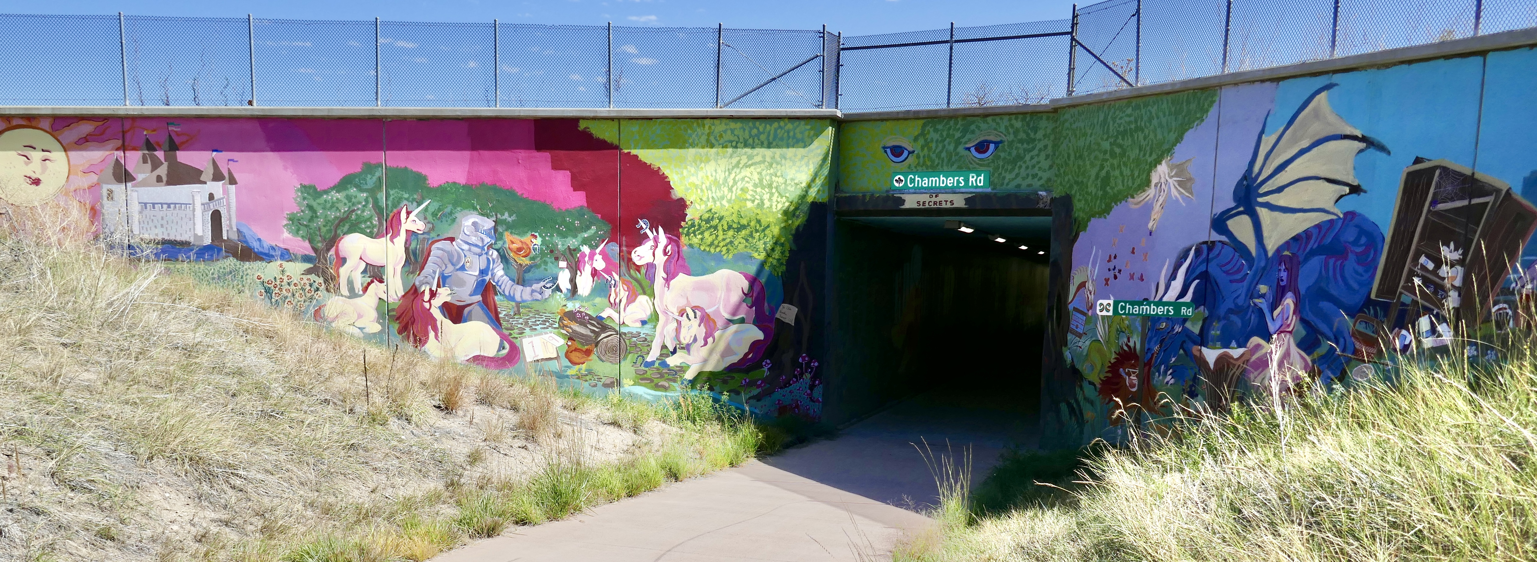
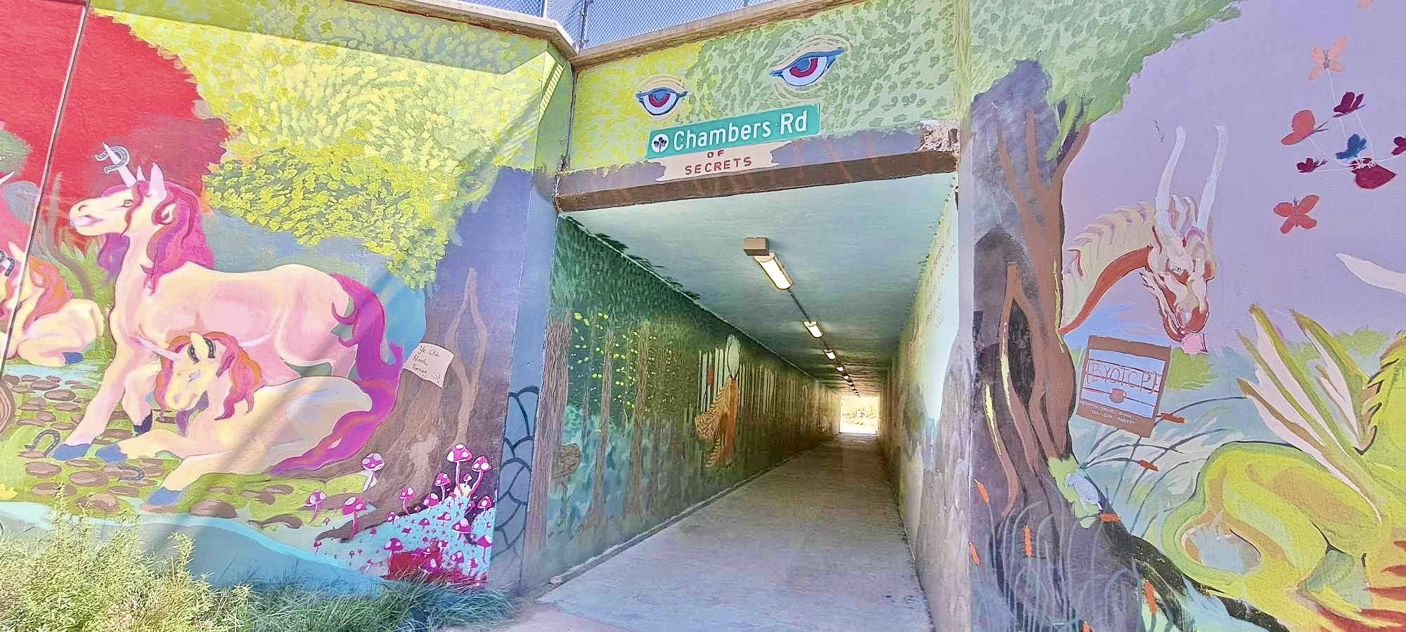
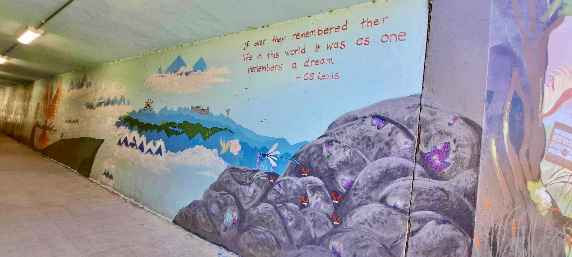
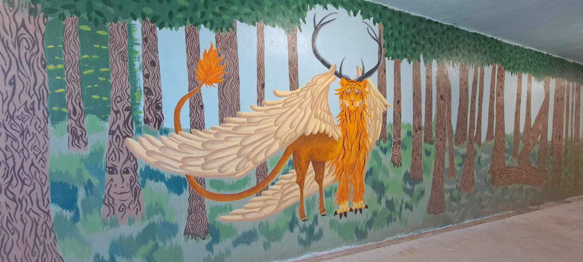
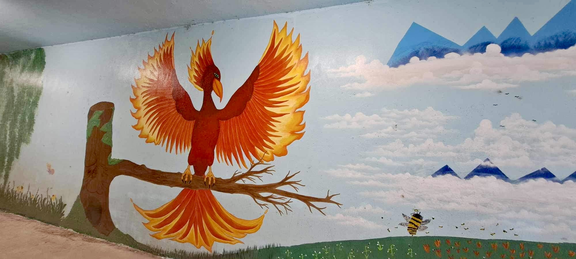
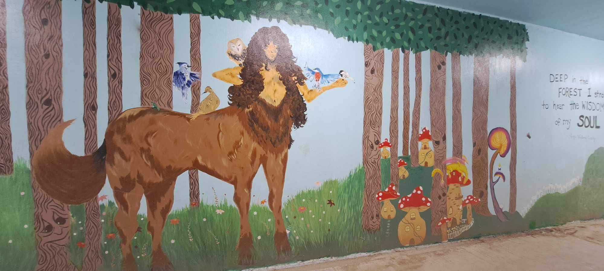
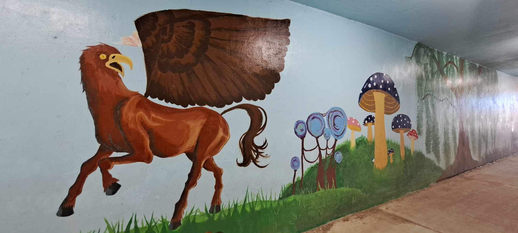
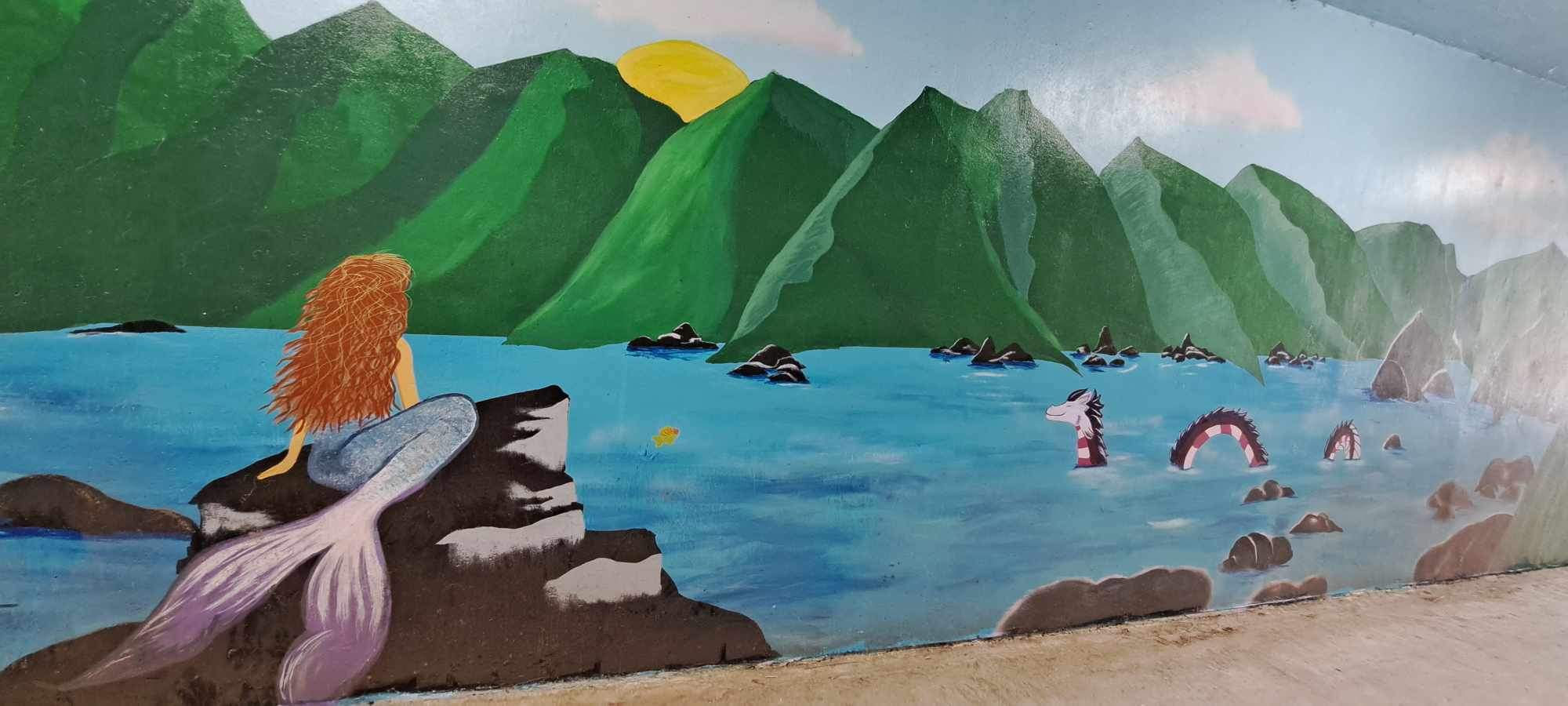
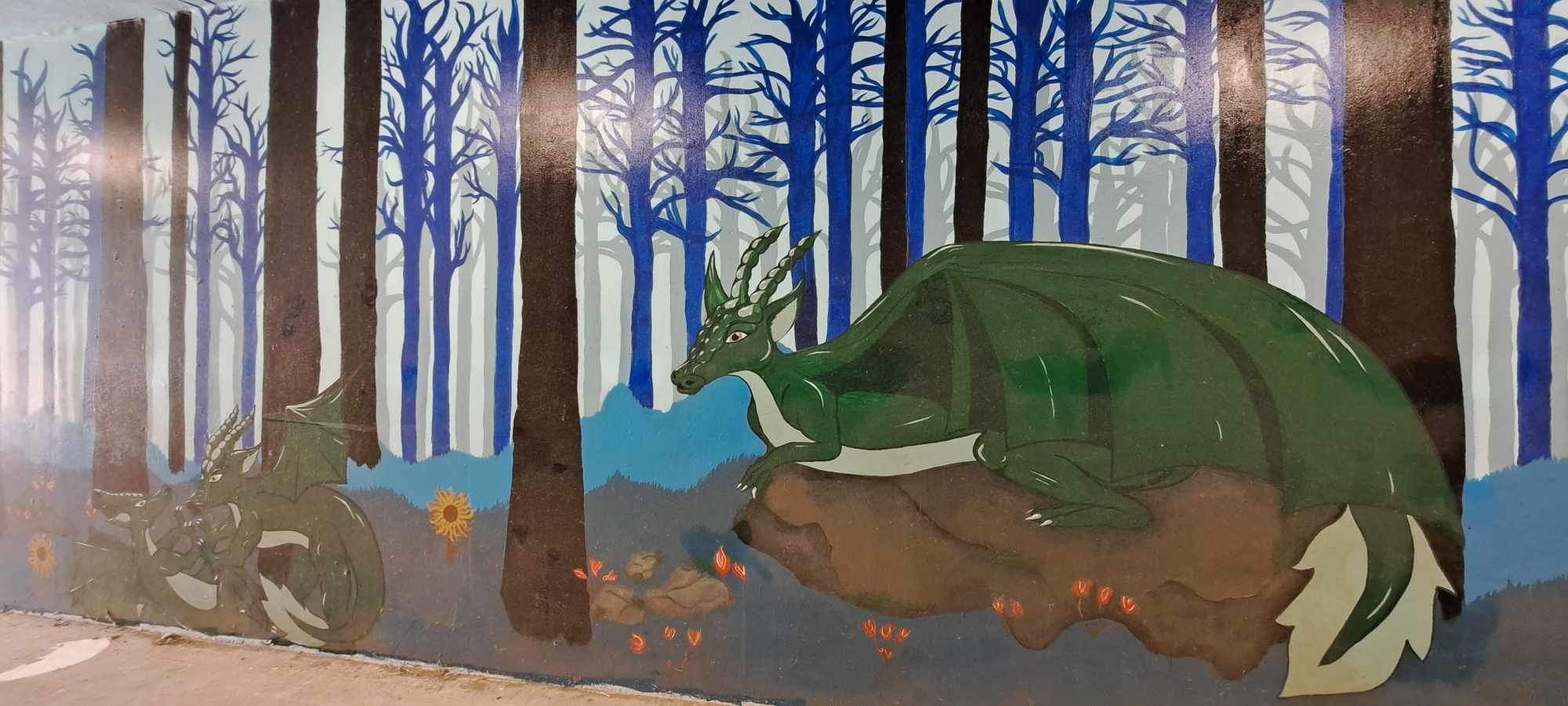
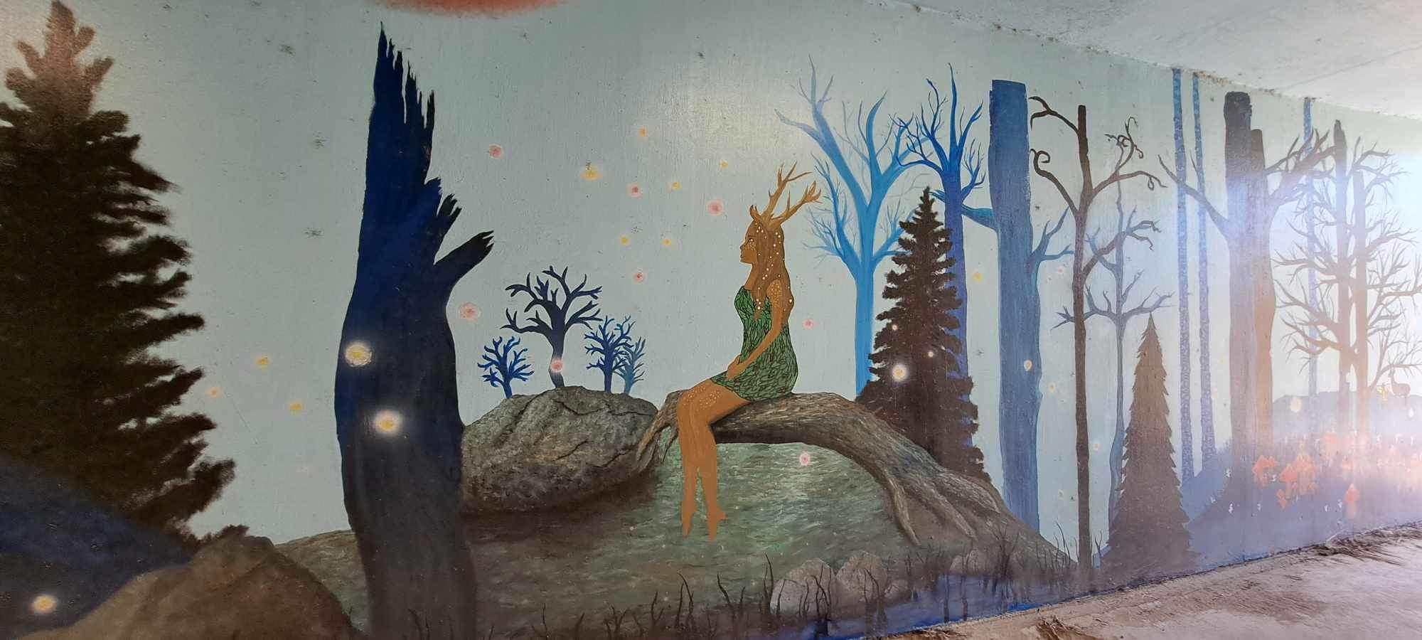
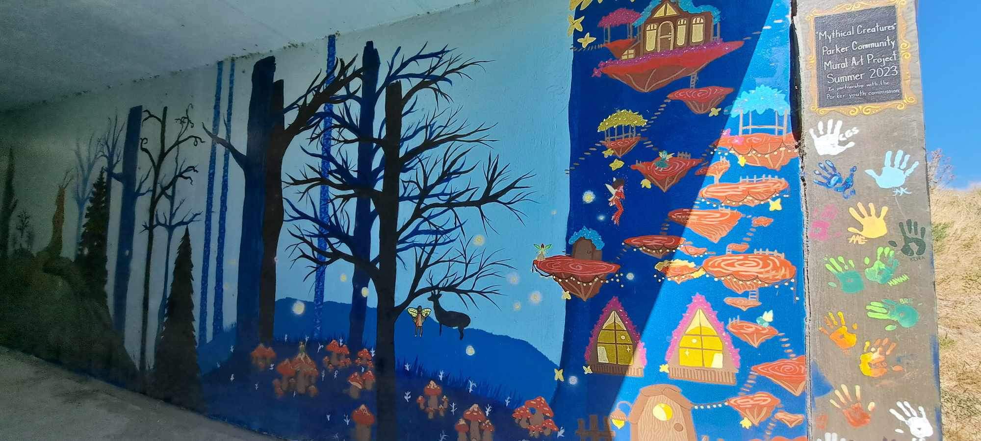
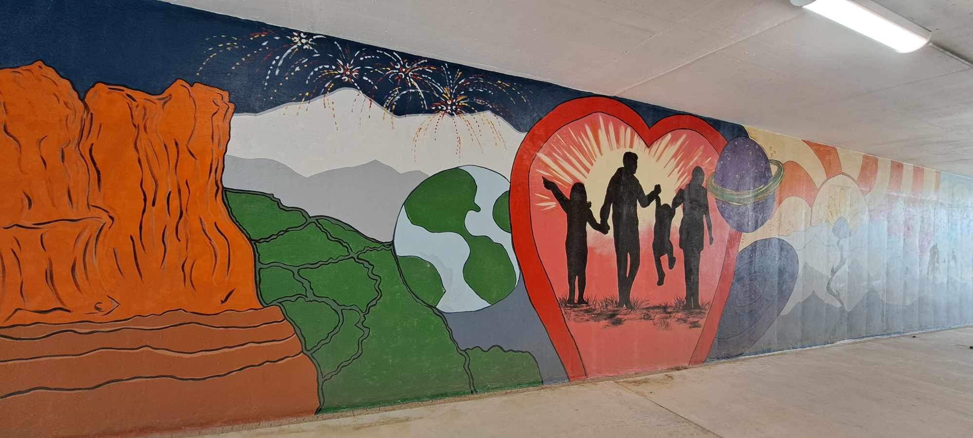
In Parker, some of the tunnels have been painted by local artists. I like it!


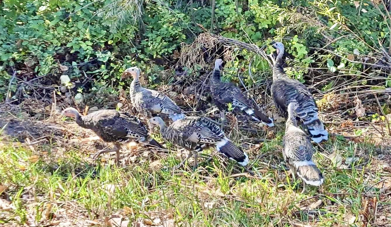
The East/West Trail terminates into the Colorado Front Range Trail, which runs north/south along Cherry Creek up to Cherry Creek State Park and beyond. Near the intersection of the two trails, just past the Bar CCC Reservoir, this flock of wild turkeys was hanging out.
It’s a pretty stretch of trail.
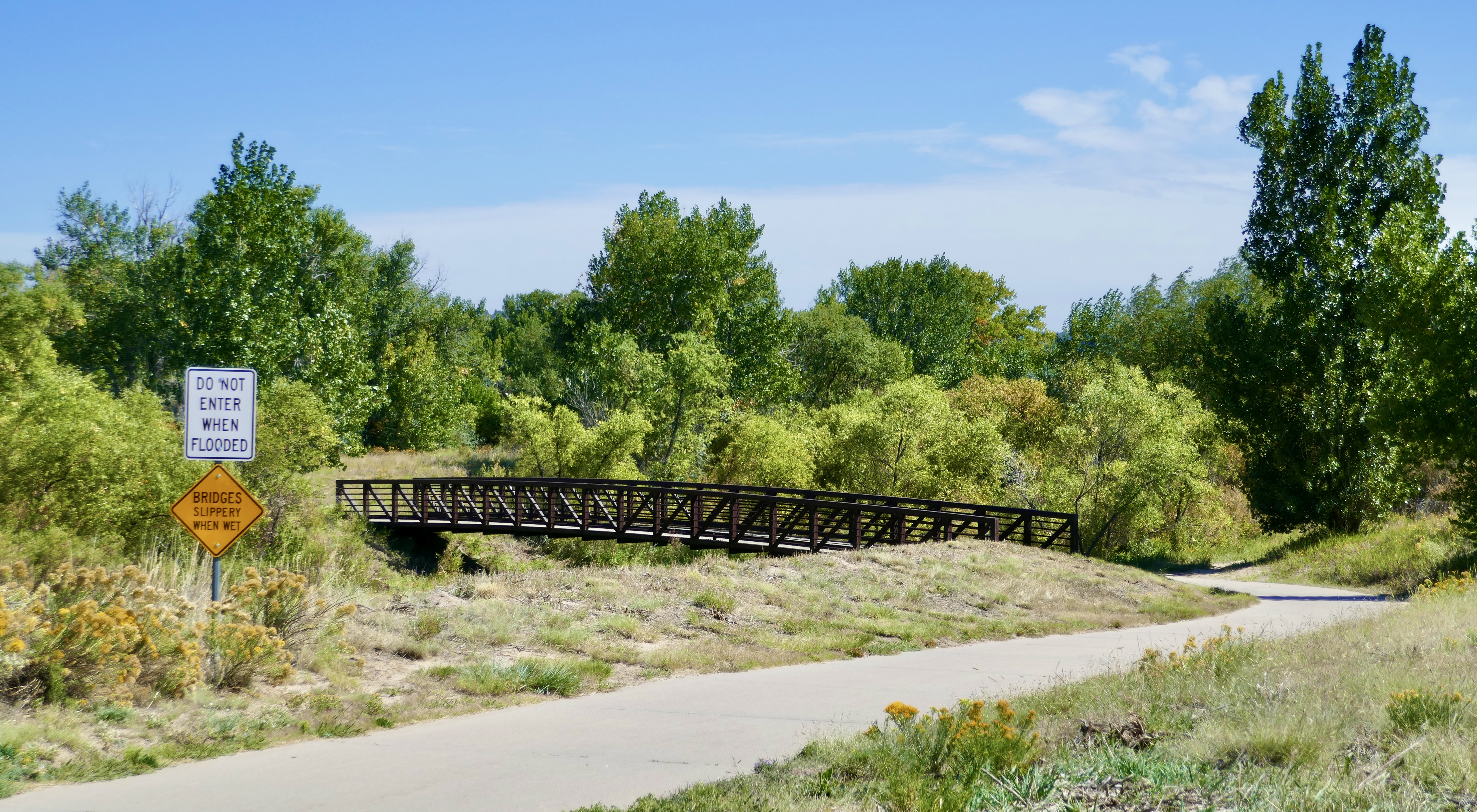
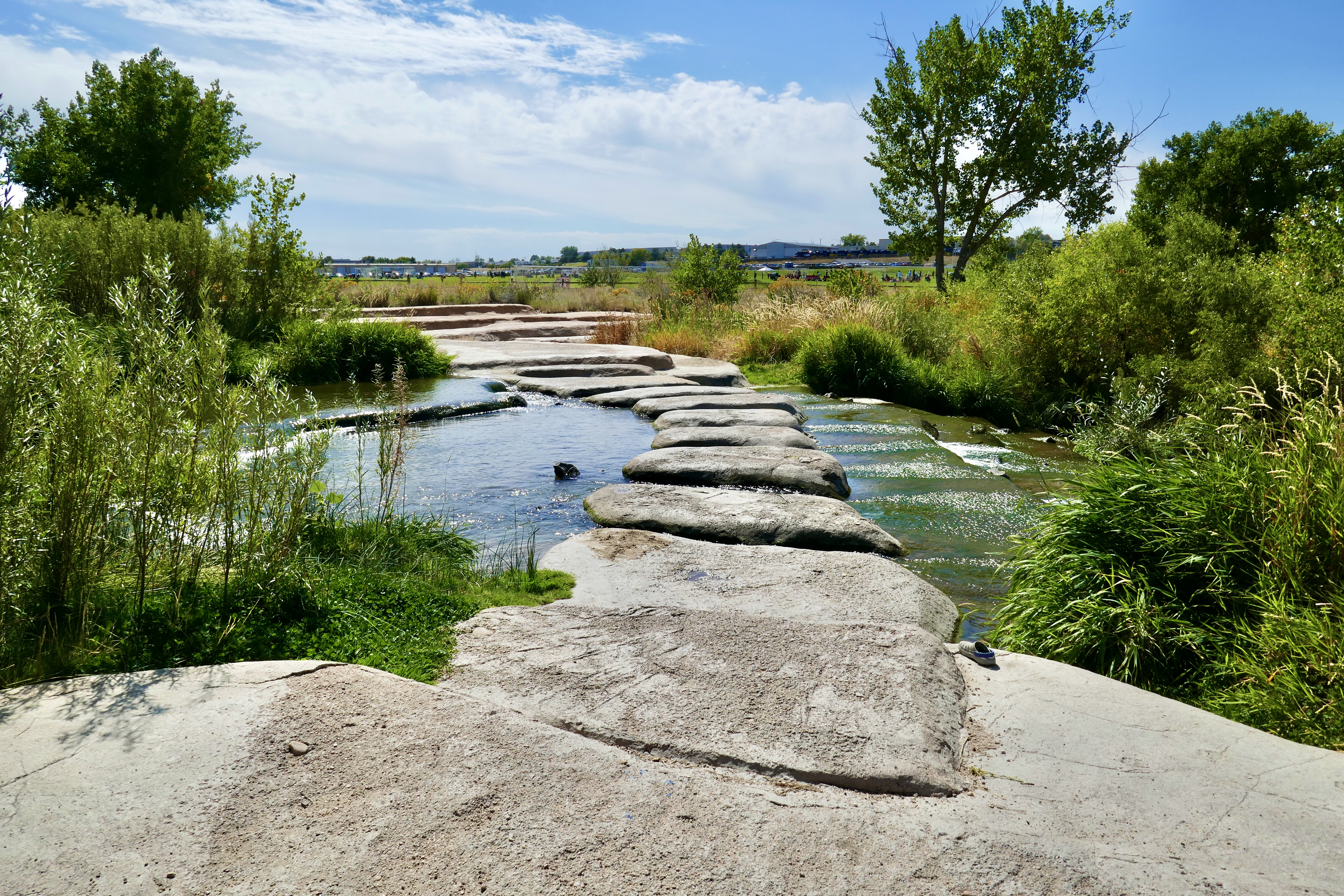
The stone bridge isn’t part of the DOT, but I stopped and played on it for a bit anyway.
Farther up the trail I passed a bakery/cafe that looked good, so I pulled up and enjoyed a really tasty French dip.

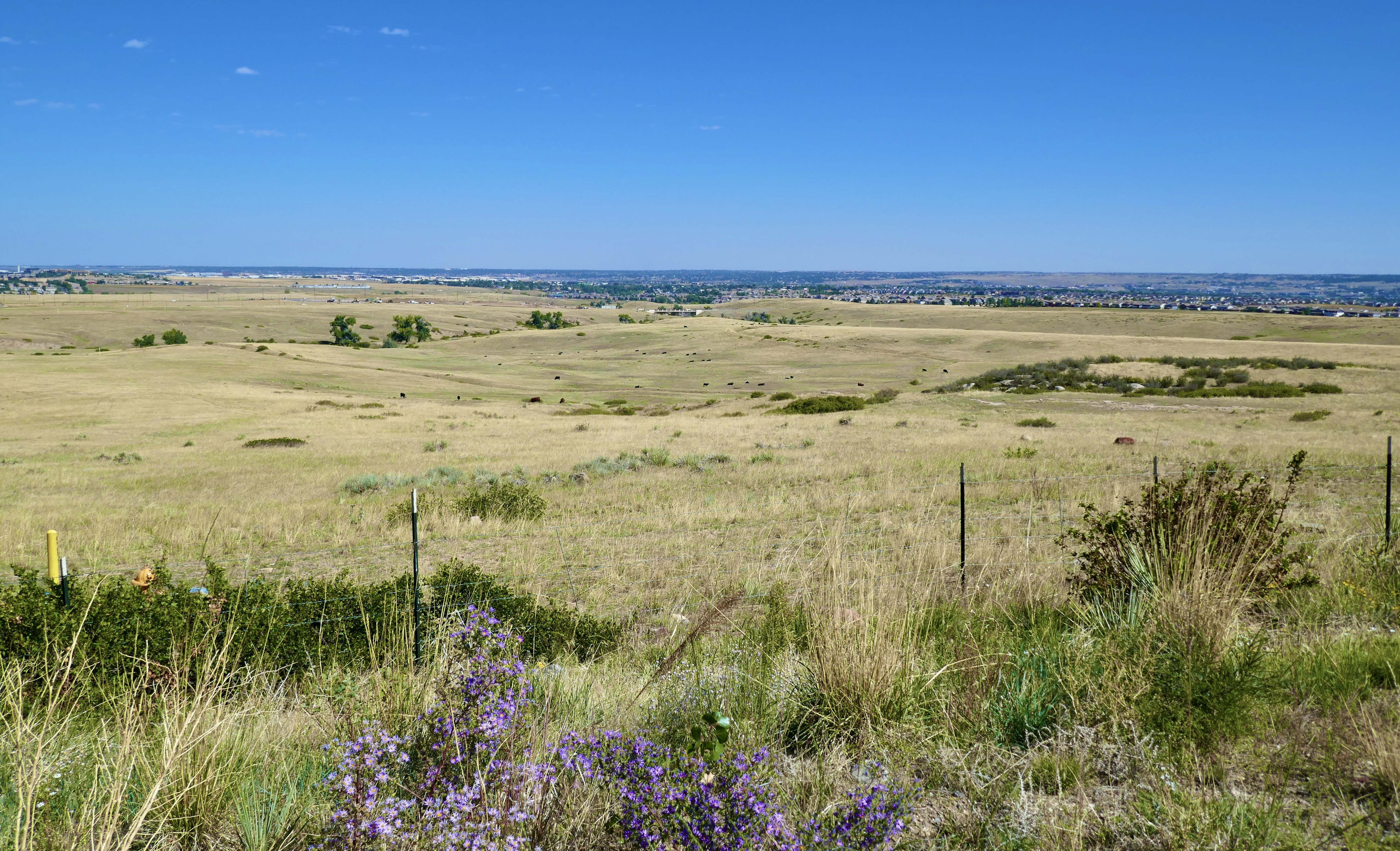
Segment 13 is unpaved and a bit rough, but scenic.


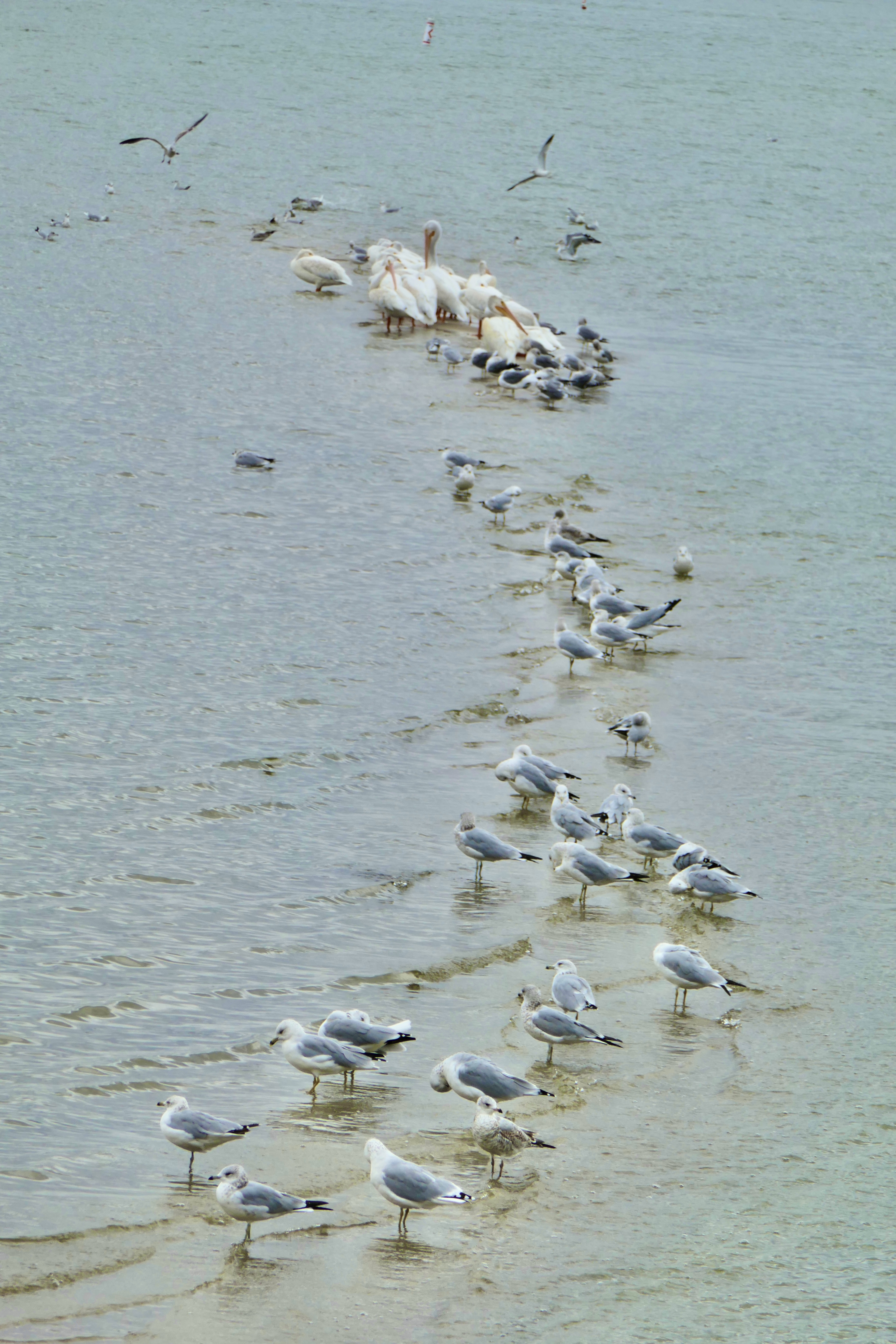
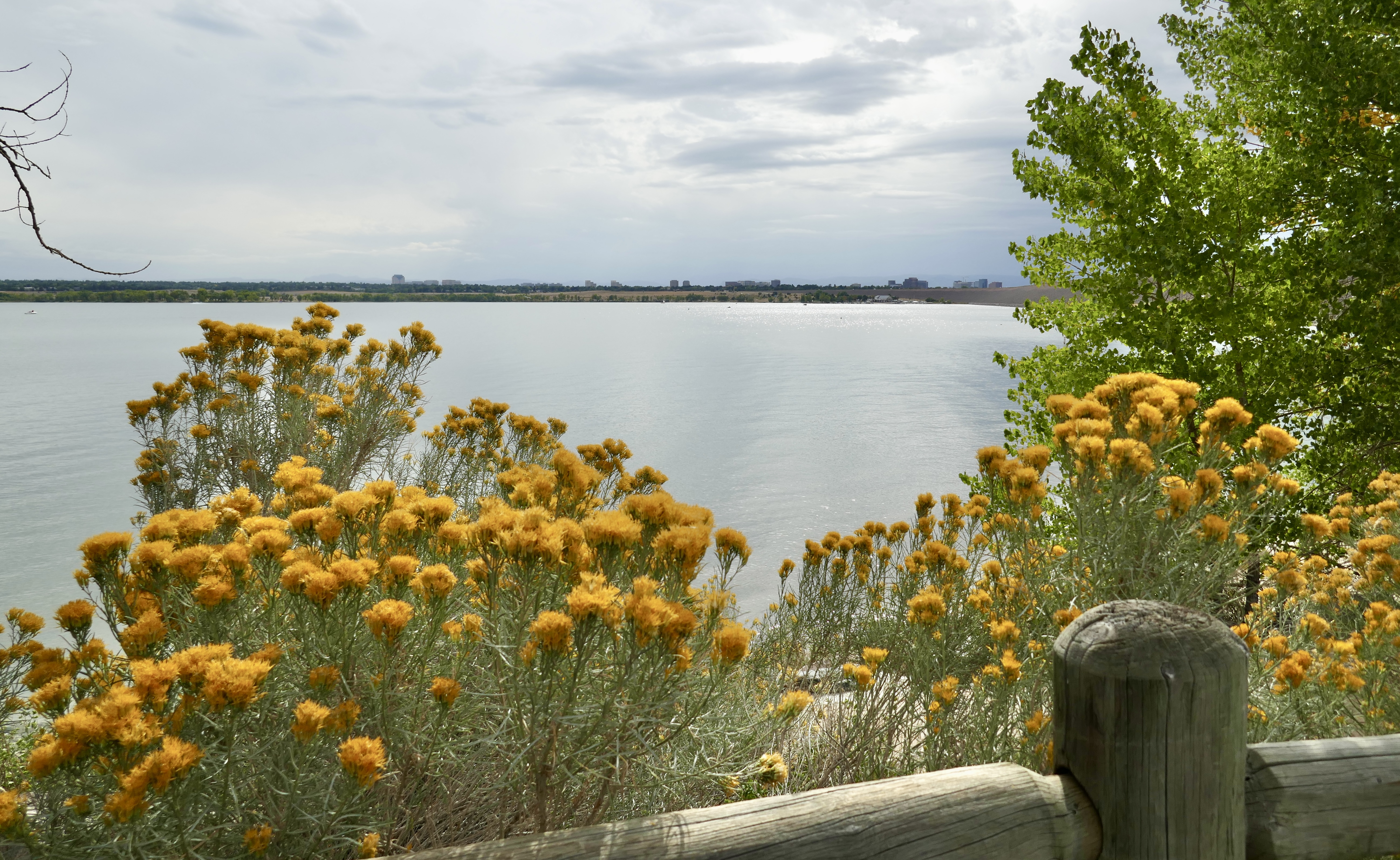
Cherry Creek Reservoir was looking pretty.
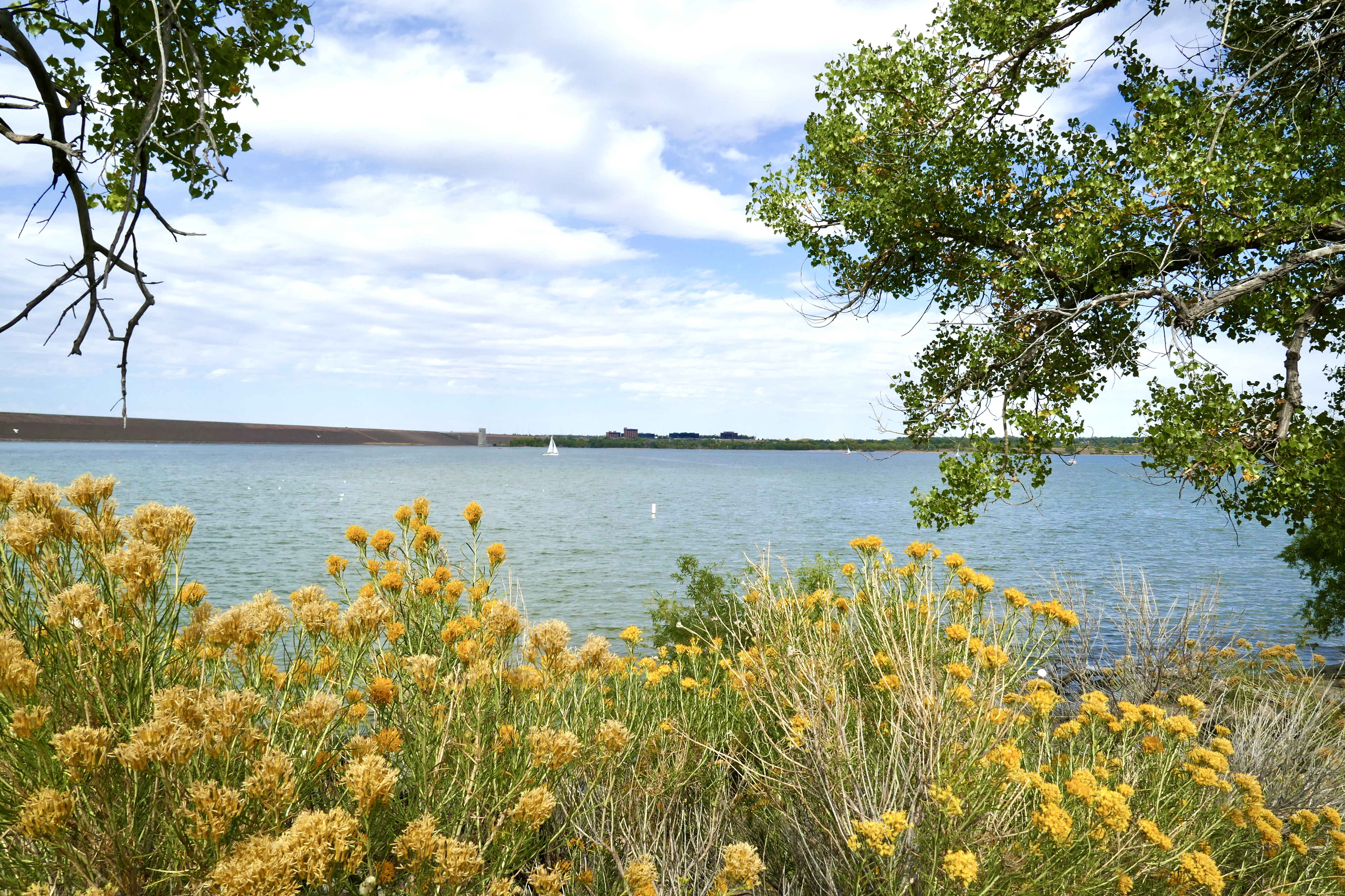

I’m not a huge fan of rabbitbrush, but it was popping that day. Perfect gold against the muted blue of the water.

For some reason, the bike trail from Cherry Creek State Park to where I left the DOT and rode home is shorter in my head than the drive from my house to the Park. Not time-wise, but geography-wise. It just seems farther when I’m driving it, no idea why.
Anyway, that was my adventure on the Denver Orbital Trail. I enjoyed it a lot, and will probably do parts of it again. I’m impressed by how accessible the “greater Denver metro area” is by bike, as long as you don’t try to go up into the mountains.
Next I’m thinking of riding the entire length of the High Line Canal Trail: 71 miles, 27 segments starting in Waterton Canyon and snaking north and east to 64th Ave in east Denver, almost to the airport. The logistics of that are trickier, though, because the first part isn’t near a light rail station, so someone would have to drive me to the first trailhead out in the boonies.
Next up: we summit our first 14er!
