Wildlife

DOT by Bike and Rail

“The bicycle, the bicycle surely, should always be the vehicle of novelists and poets.” – Christopher Morley

My work commute is so short that using a car seems wasteful, so I got a bicycle. I thought I would have to coax myself into not driving, but the opposite happened–I was hooked from the first ride. I love my bike!

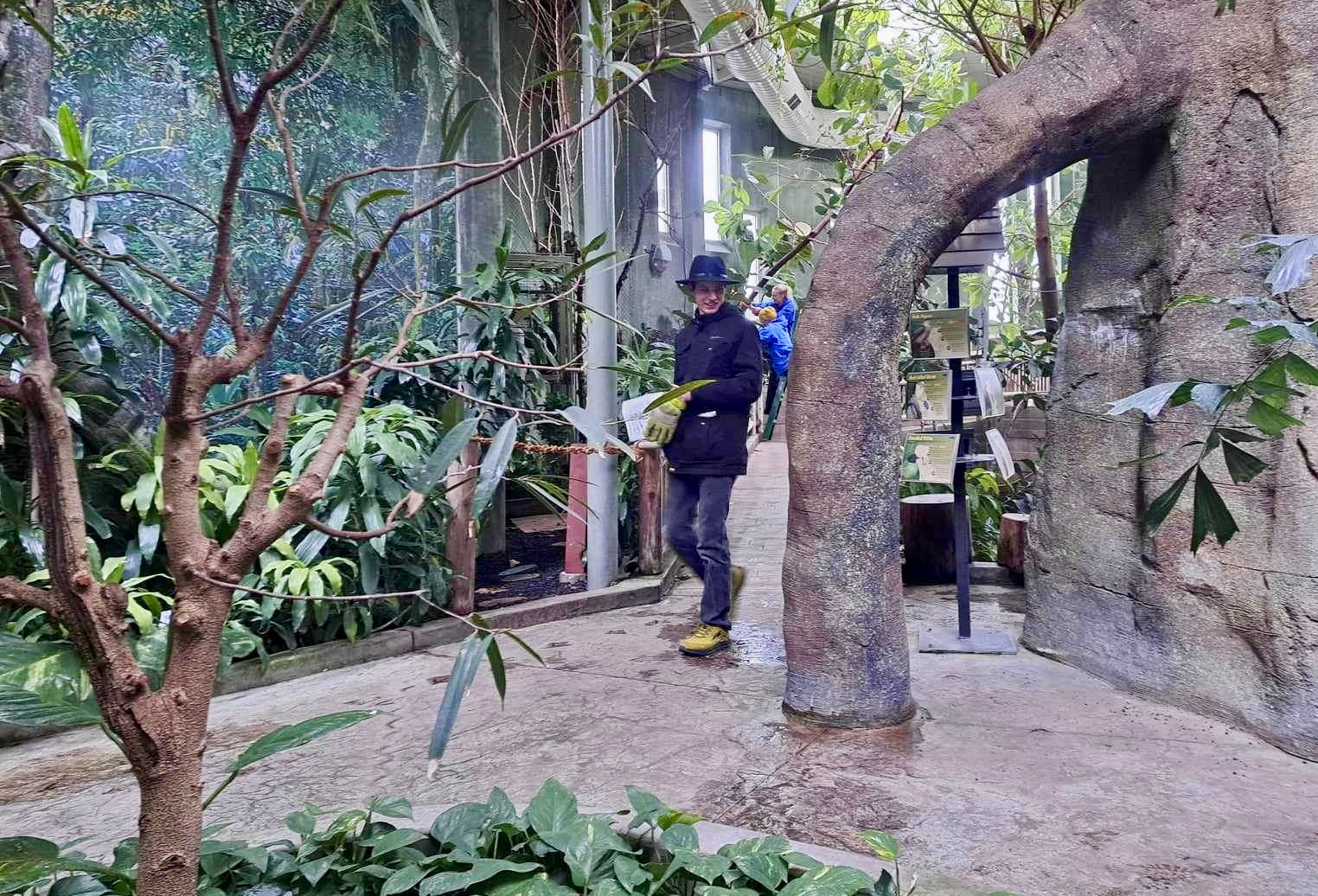
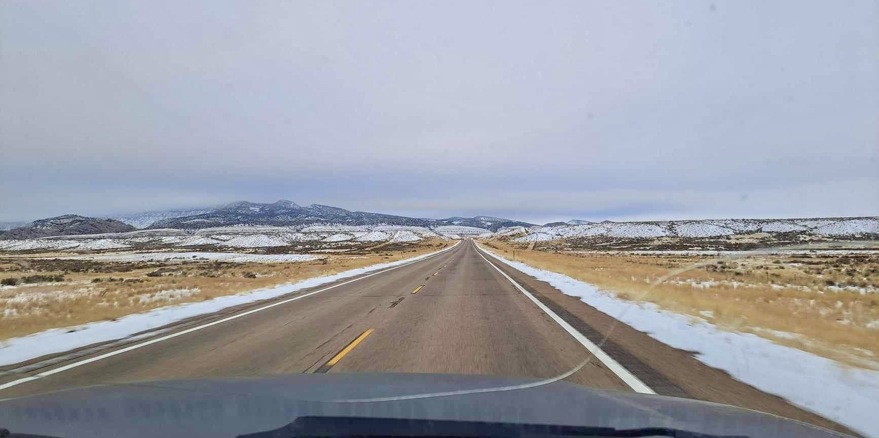
I decided to start exploring my big local network of hike-and-bike trails. With Mahogany enjoying semi-retirement in a big pasture out on the eastern plains, I was open to something that would scratch that “trail ride” itch. The Denver Orbital Trail, or DOT, seemed like a great place to start. It’s a big 177-mile loop that connects sections of existing paths and trails to encircle the Denver Metro area.

The DOT was created by a hiker, and its 28 segments are sized for day-hikes with places to park at the beginning and end of each one. I briefly considered getting a bike rack for my car, but really I prefer not to get the car involved at all. In the end I modified the DOT into a series of longer, bike-length segments that each start and end near a light rail station.

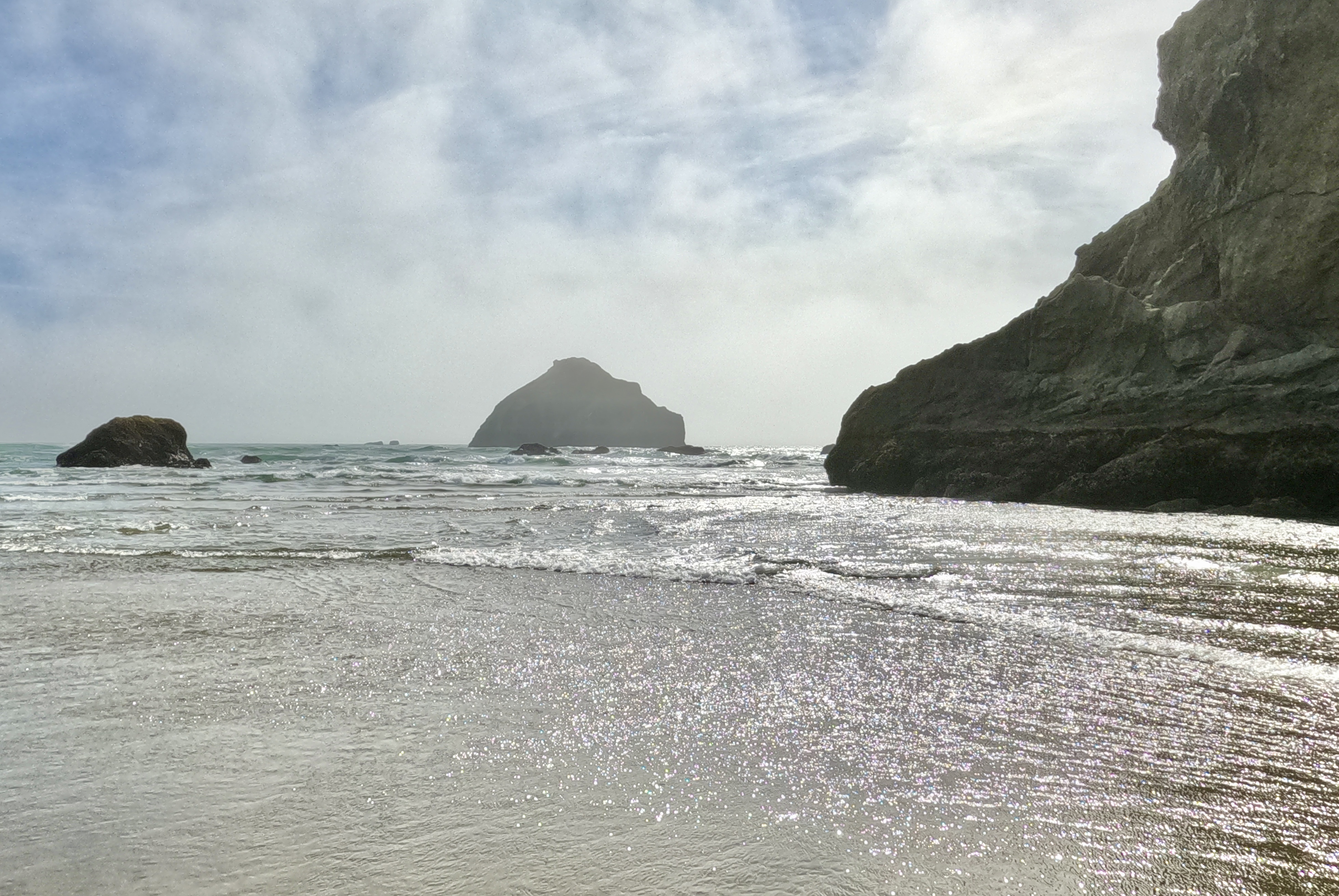
For my first loop–Loop 1 on my list–I jumped onto the High Line Canal Trail in Aurora where it crosses Potomac St and followed it east to where it connects with the DOT about halfway through Segment 15. Then I followed the DOT north through the rest of Segment 15 and about half of Segment 16.

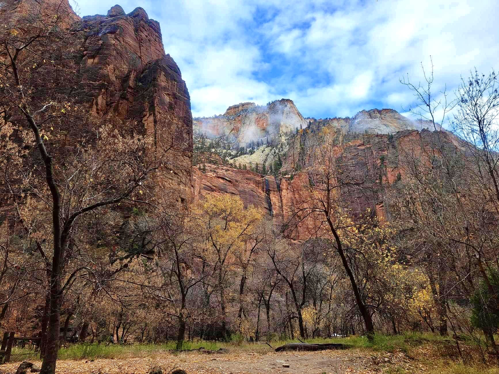
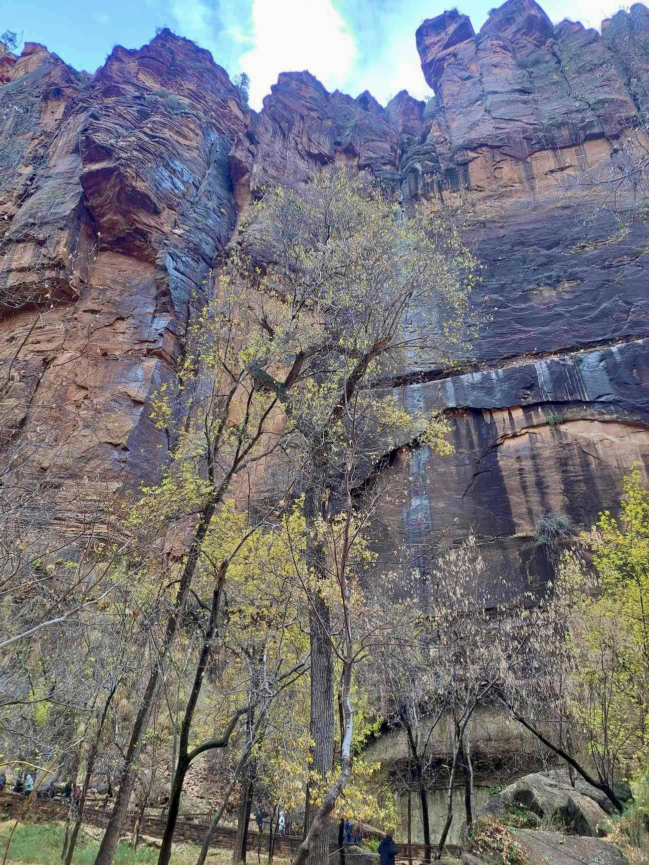
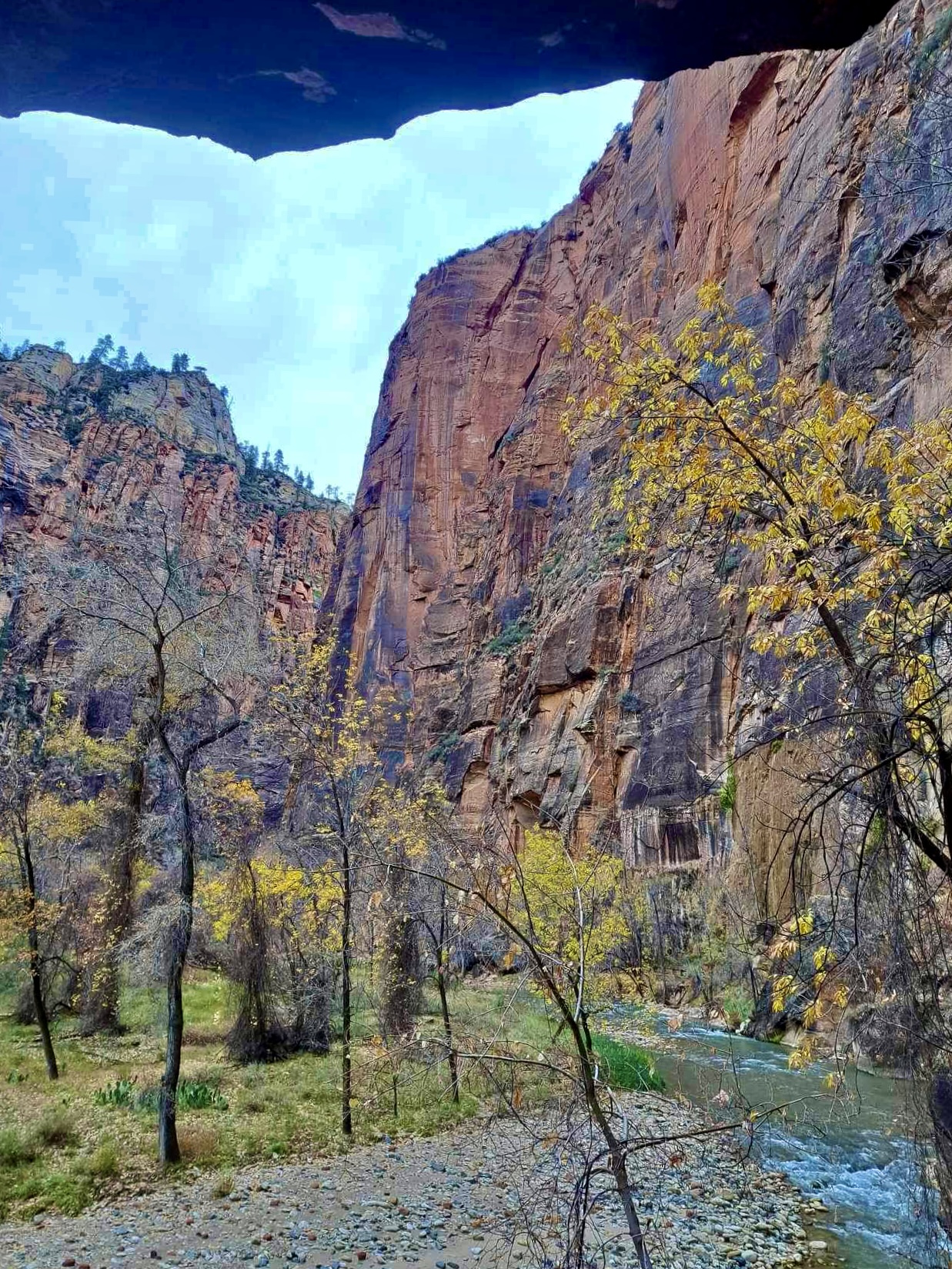
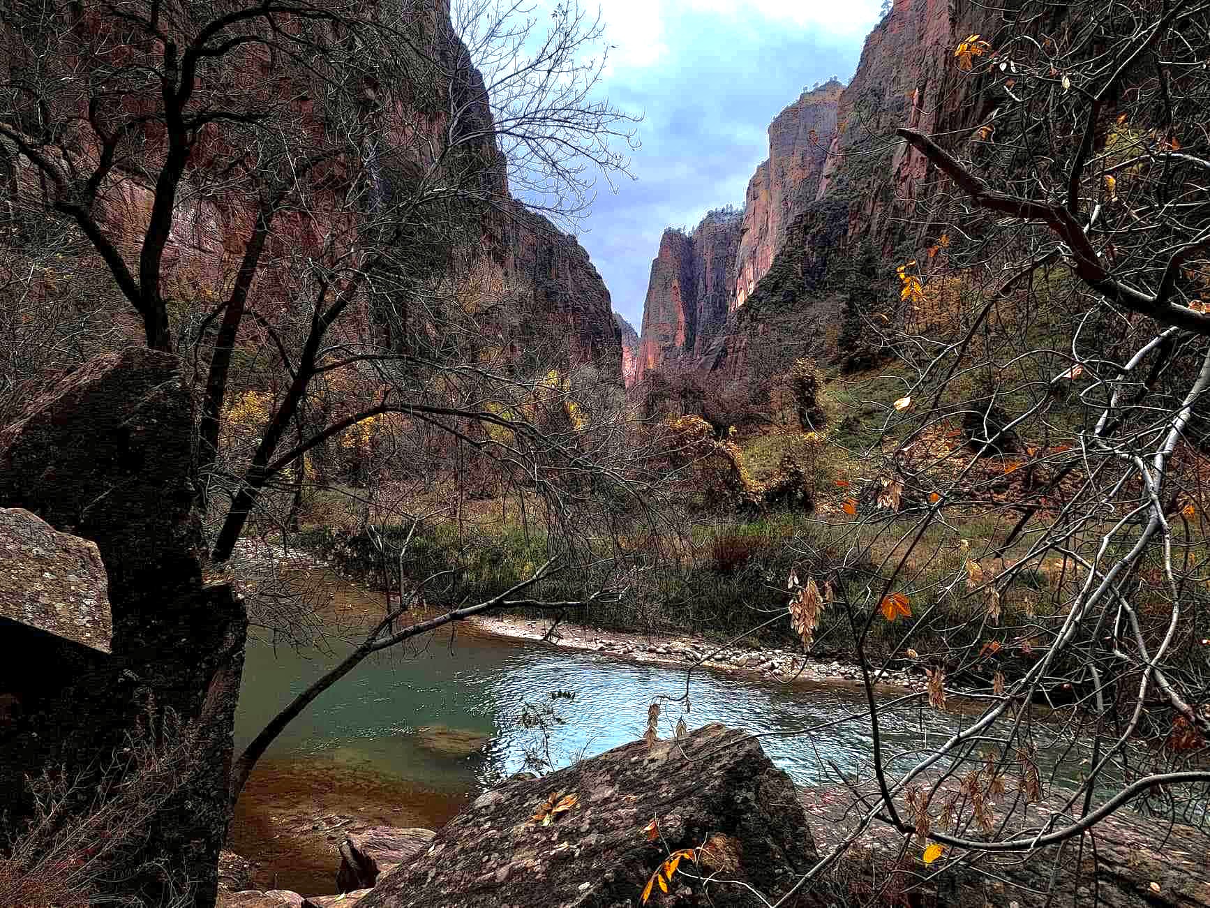
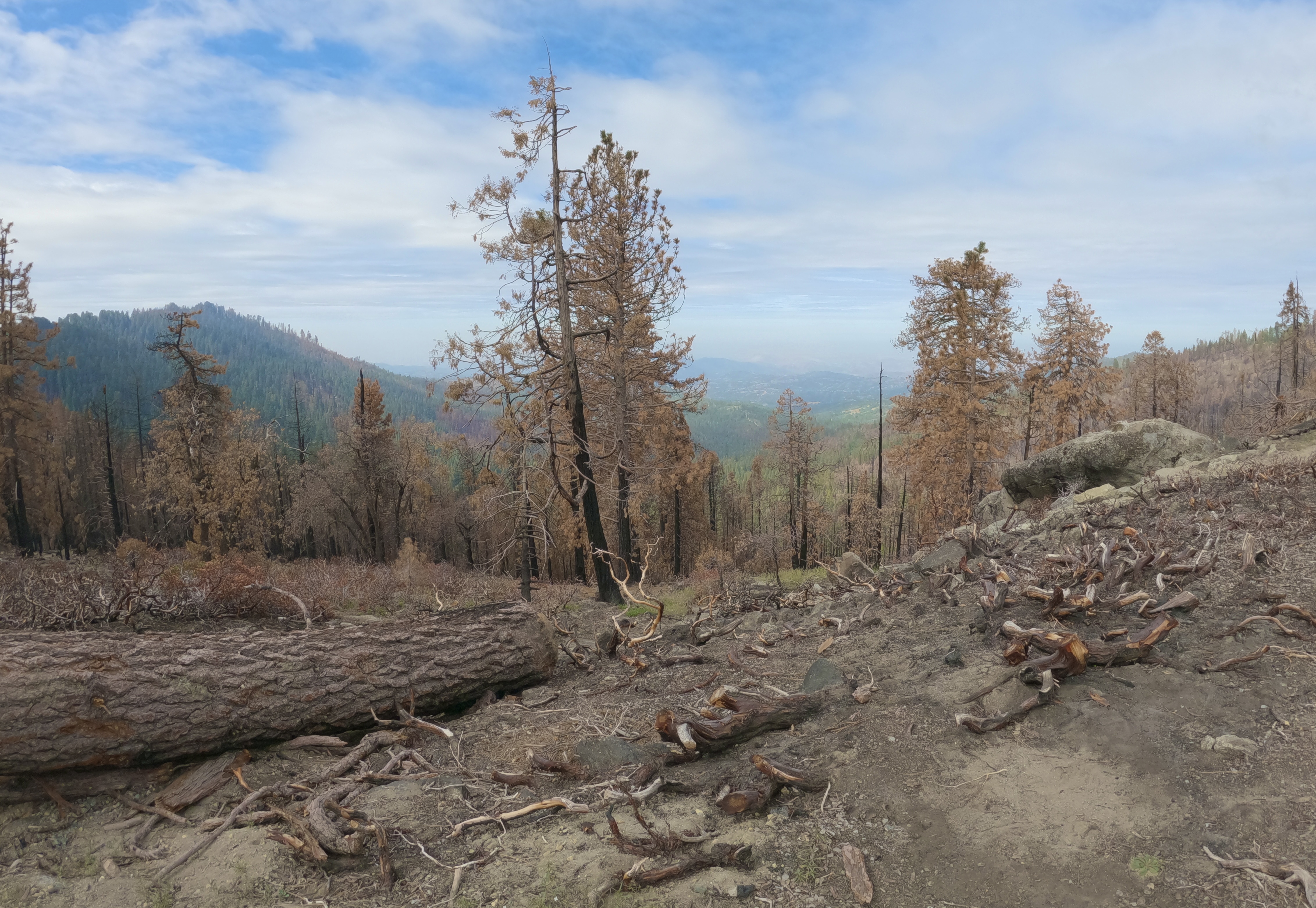
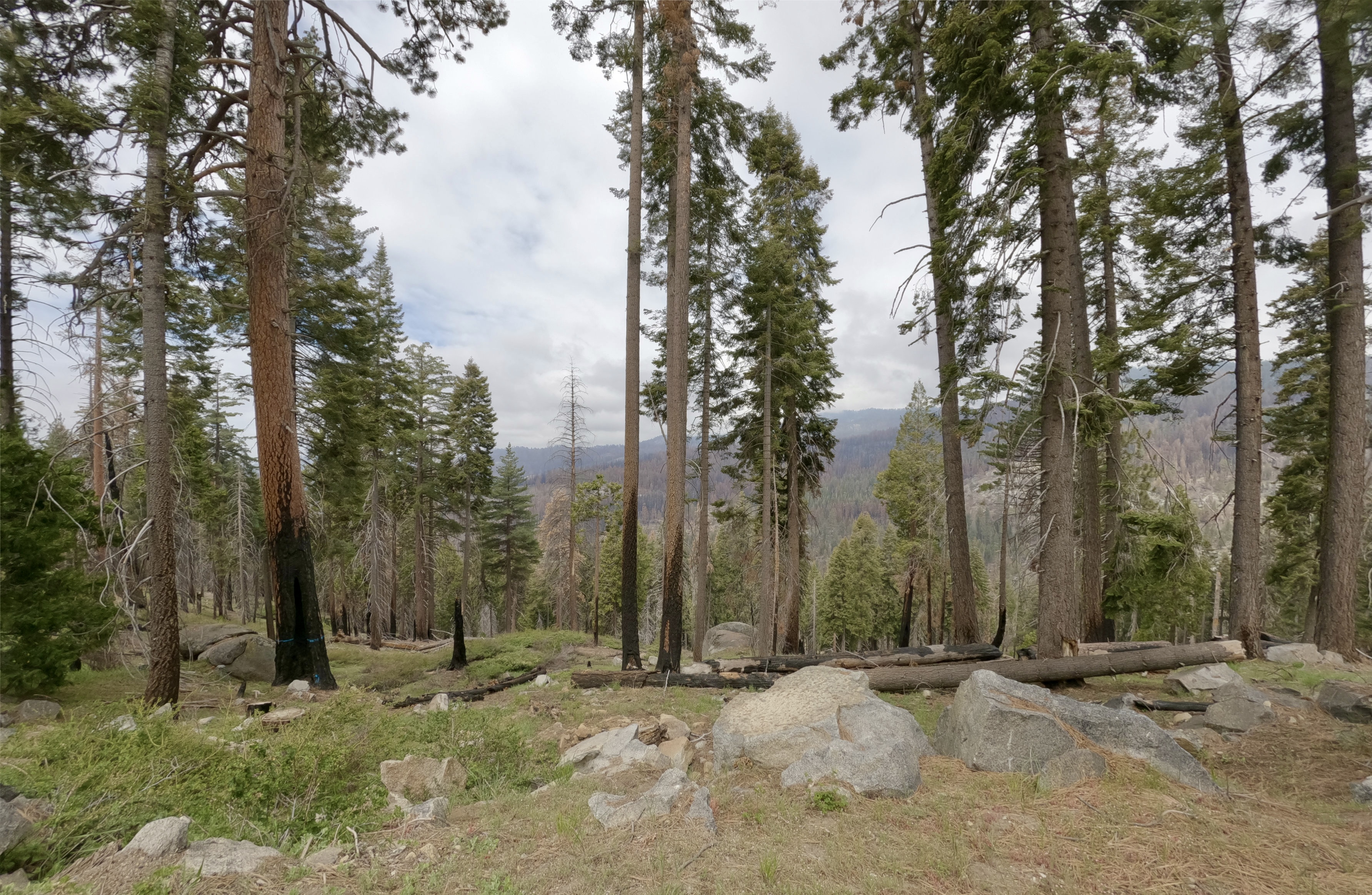
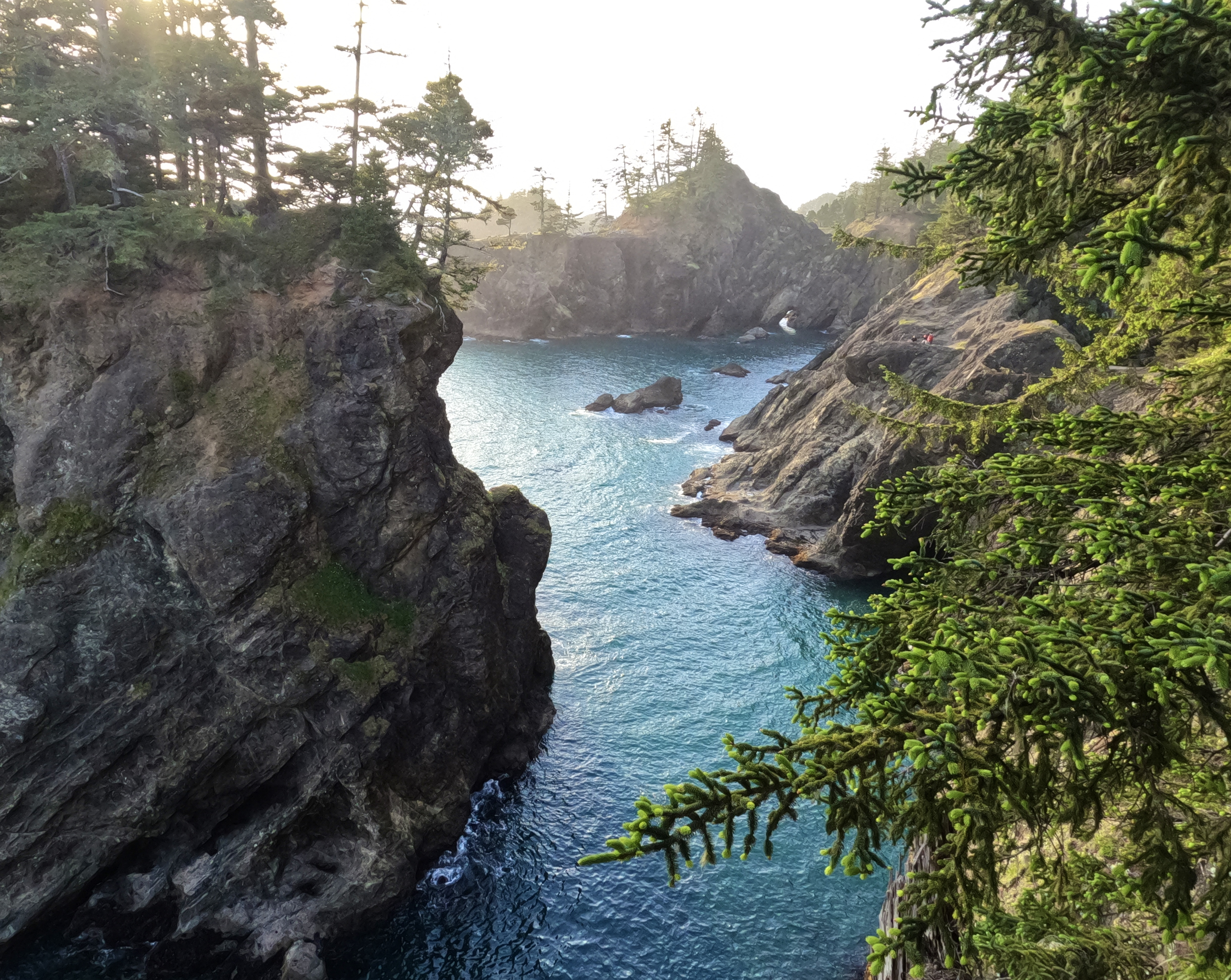
This stretch was a great introduction to the DOT for me. It’s short, easy and scenic, with good views of the front range.

I got barked at by prairie dogs from one end of my ride to the other. I actually love prairie dogs. Their villages are everywhere in Aurora, and sometimes I’ll just sit and watch them going about their business. They remind me of the meerkat village I used to like to visit at the San Diego Zoo.

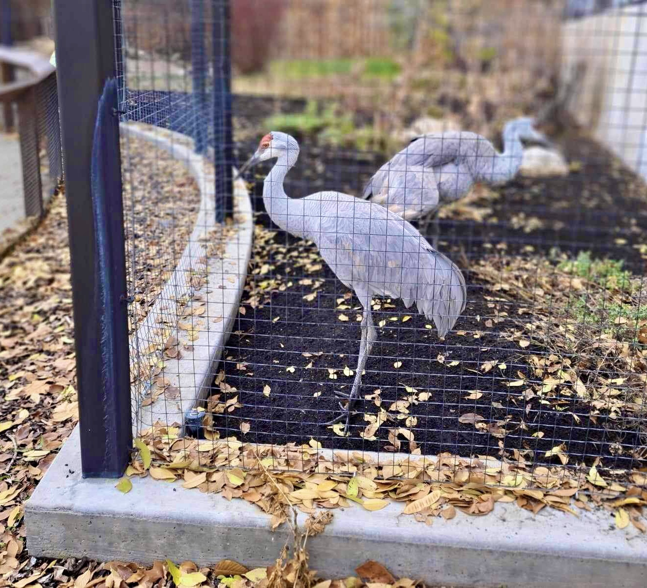
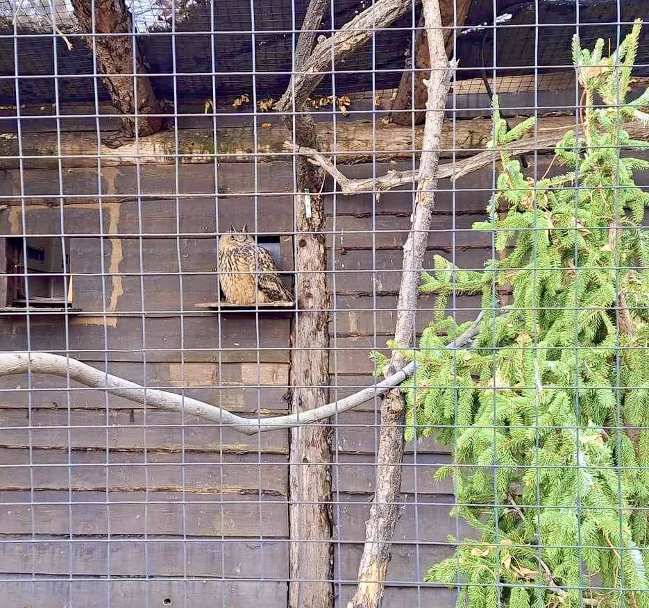
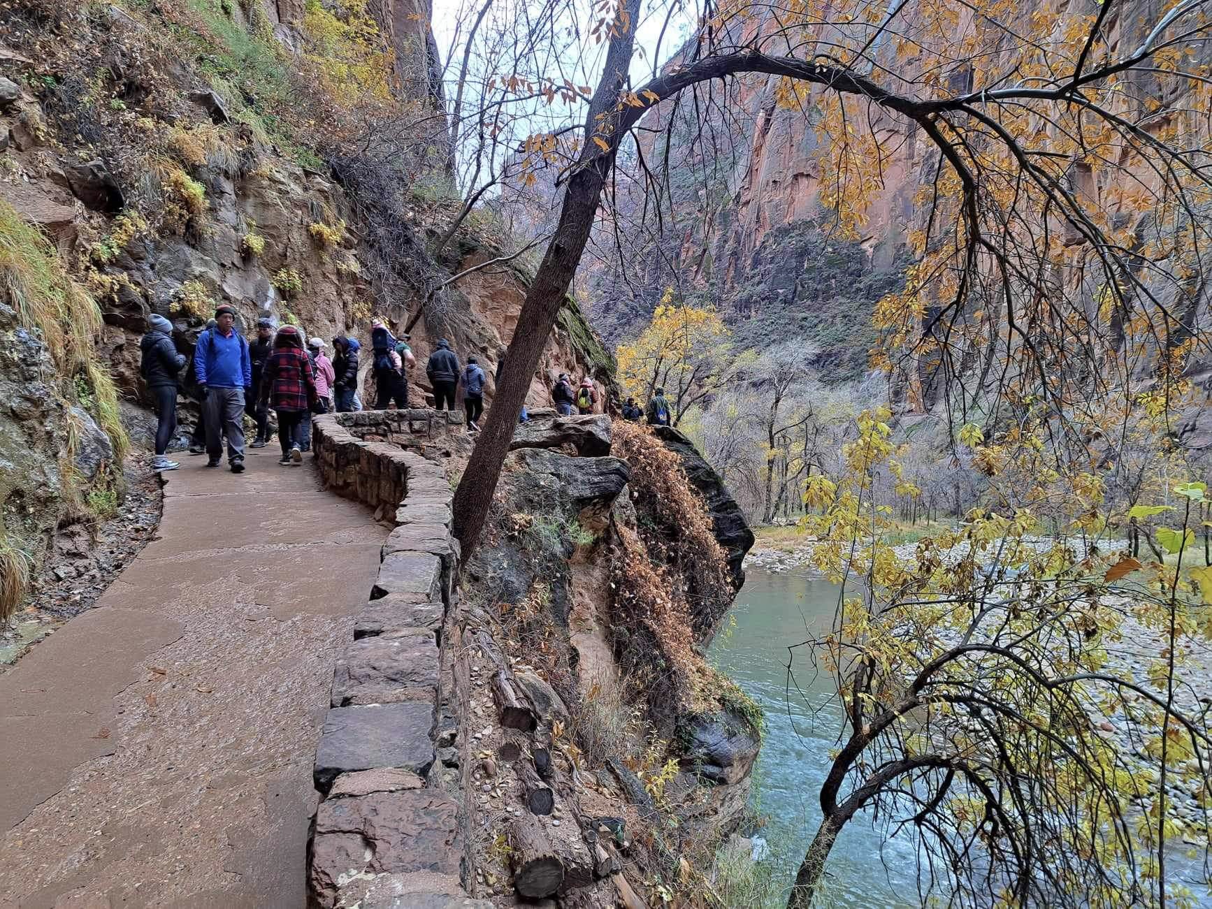
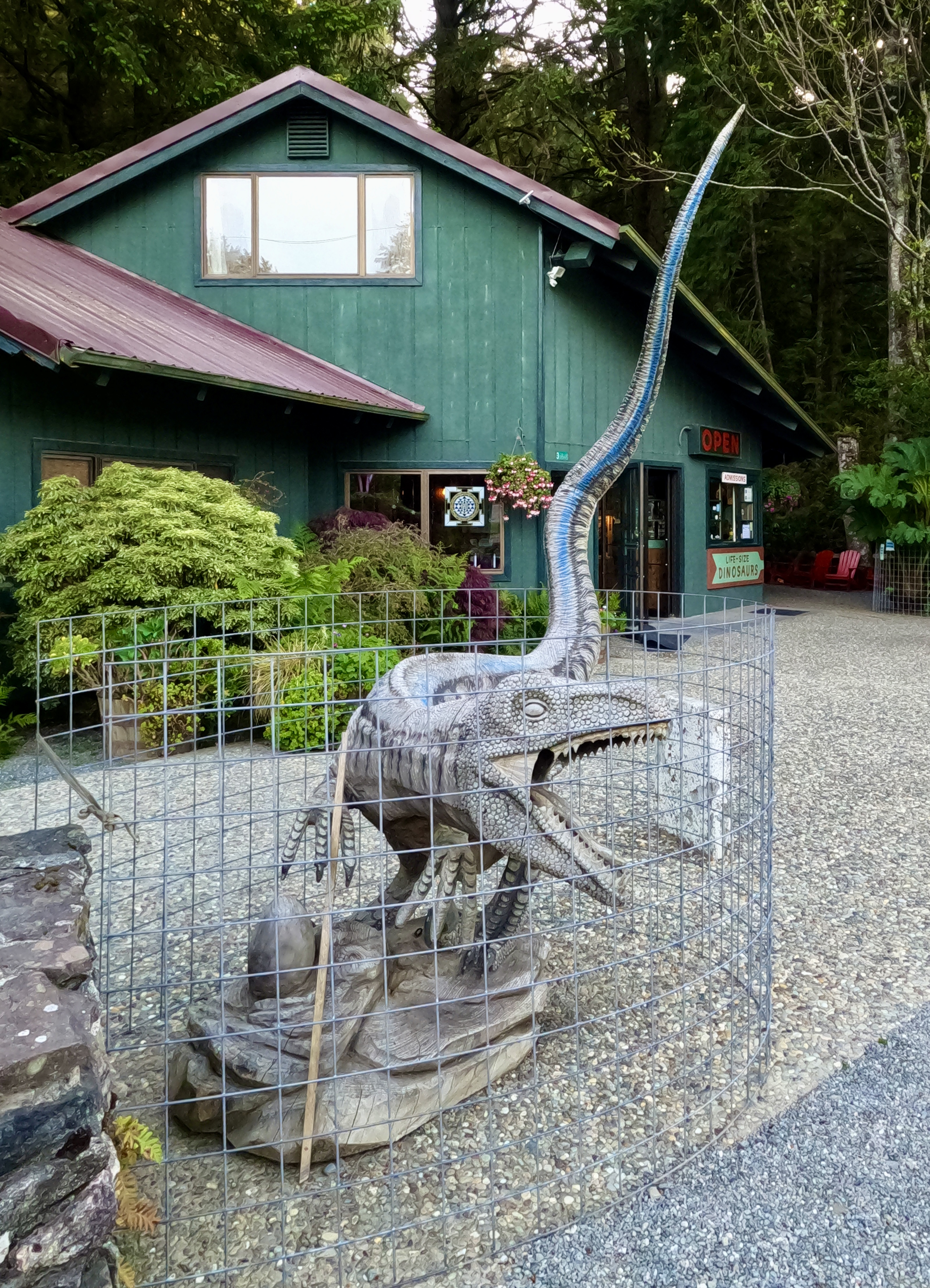
Also, this majestic fence!

There’s a short path that connects the High Line Canal Trail to the Sand Creek Regional Greenway. I turned off onto it, thinking that I was leaving the DOT to loop back around to Fitzsimmons light rail station. Actually the DOT turns here too. This caused some confusion on my next ride, but that’s on me for not paying closer attention.

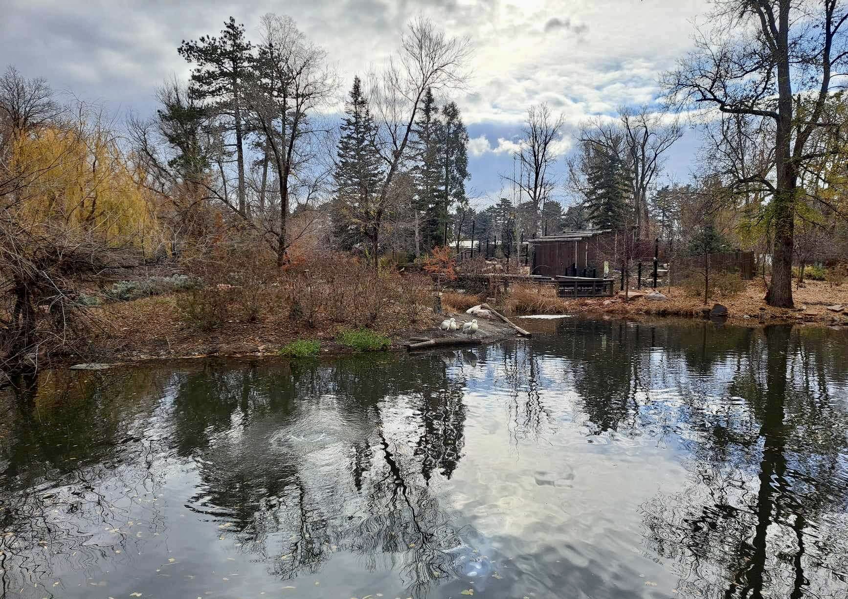
The Sand Creek Regional Greenway is a pretty trail.

It passes through Sand Creek Park, which is right next to Fitzsimmons Station.

I took the R Line back to 2nd and Abilene–my “home base” station–to complete Loop 1. Absolutely loved this entire experience!

“When the spirits are low, when the day appears dark, when work becomes monotonous, when hope hardly seems worth having, just mount a bicycle and go out for a spin down the road, without thought on anything but the ride you are taking.”  – Arthur Conan Doyle

After the first ride I mounted a phone holder to my bike, so I could keep an eye on the route as I went along. This turned out to be not as useful as I’d hoped since it’s almost impossible to read the screen in the glare of full sunlight. I also added a proper “bike trunk” that attaches to the rear rack, to carry trail supplies.

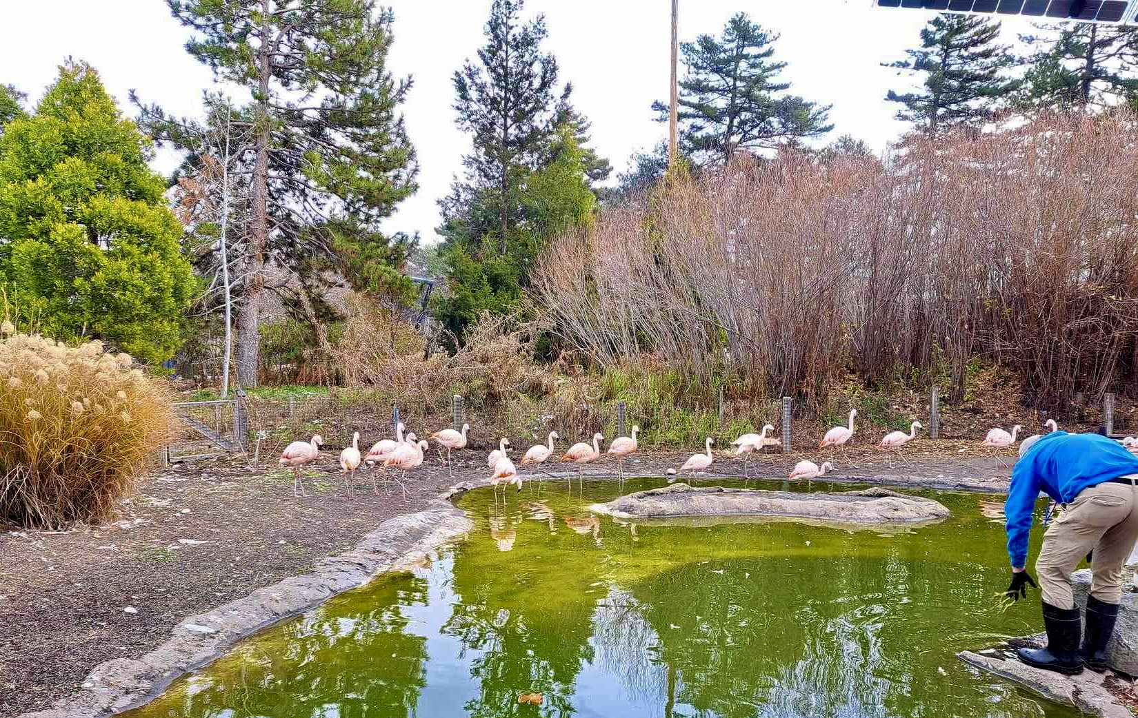
A week later I embarked on Loop 2, starting with the R Line from 2nd and Abilene back to Fitzsimmons Station. As I got off the train, I saw pelicans on one of the ponds in Sand Creek Park! I took a detour into the park to get a closer look.

Also ran into some Canada geese with their growing families.

Then I hopped onto the Sand Creek Regional Greenway and headed back to the High Line Canal Trail.

Again, prairie dogs yapped at me all along the trail. I love those little guys.

I got all the way to where the High Line Canal crosses Airport Blvd, checked my route, and realized my mistake about where the DOT left the canal trail.

Backtracked to the cross-path and found the little dirt Creekside Trail that the DOT uses.

If you happen to do this loop on a bike, here’s some advice: just stay on the Sand Creek Regional Trail heading east. The Creekside Trail connects with it anyway a bit farther down, and you’ll save yourself a needless slog through soft dirt and deep sand.

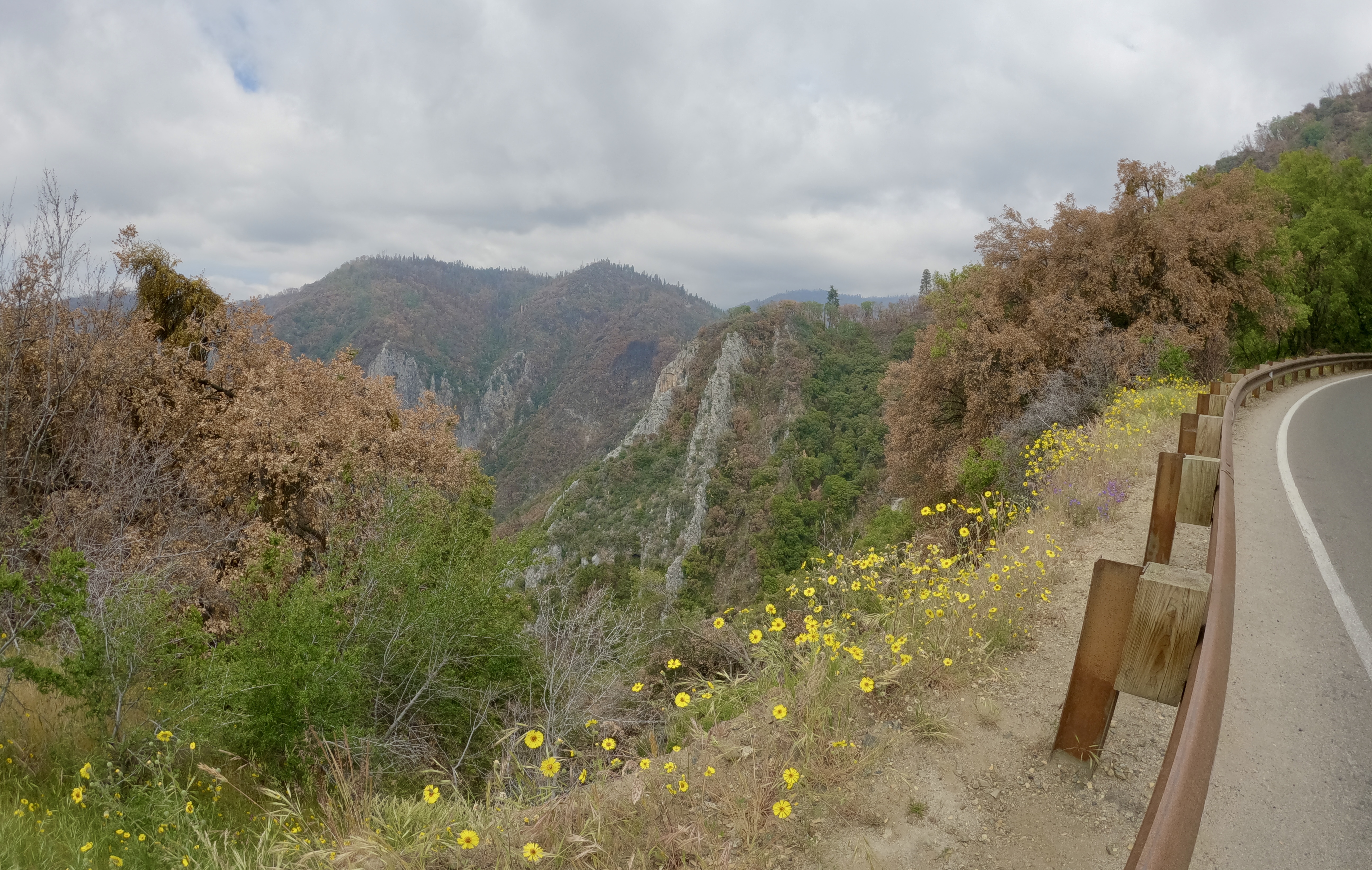
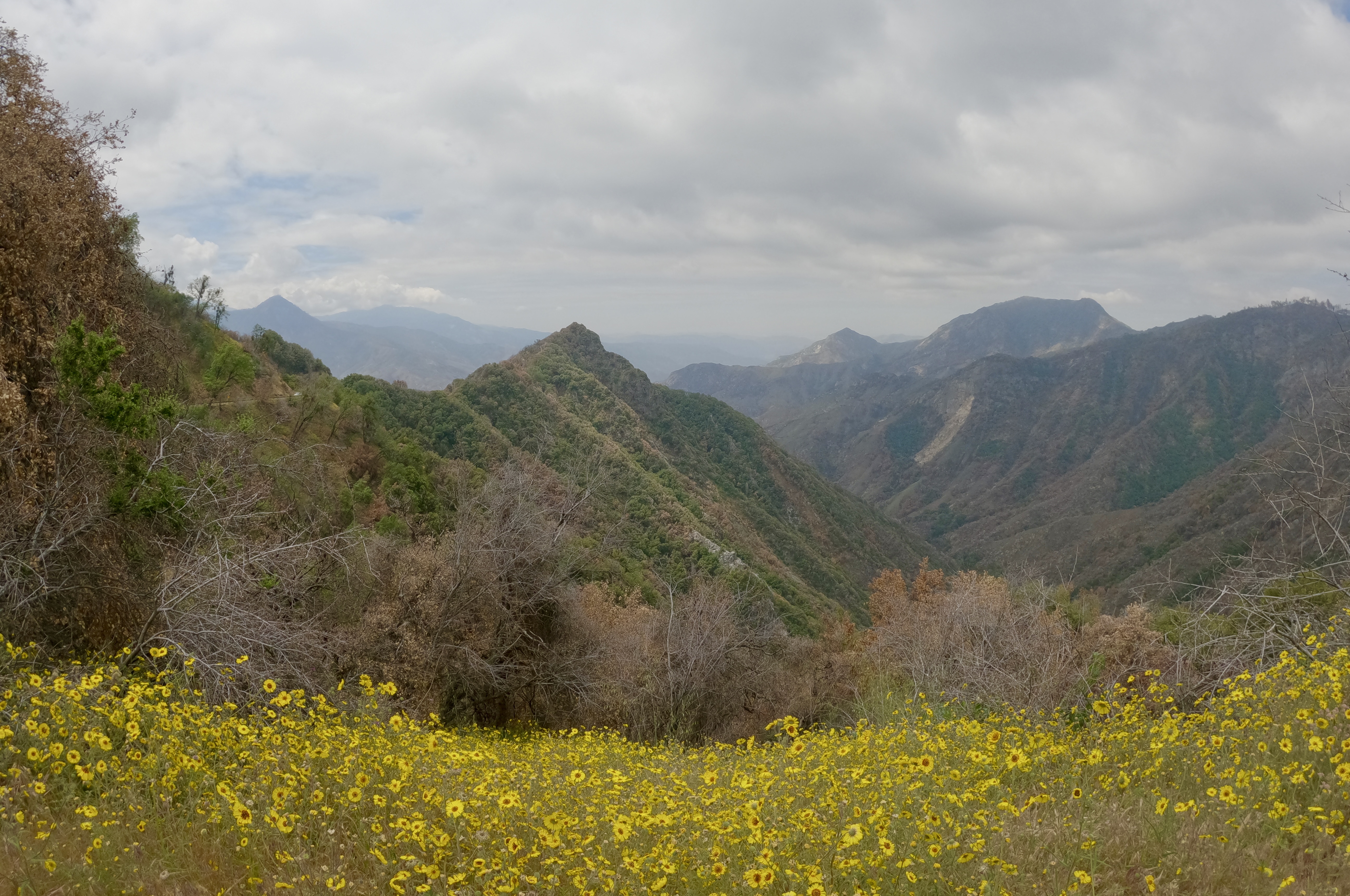
I followed the rest of Segment 16 and all of Segment 17. 17 uses more actual roadways than I would consider ideal, but the front range views are still nice.

At the end of Segment 17 I left the DOT and followed Tower Rd north.

There’s a Corner Bakery Cafe right here, and I almost stopped in to get some lunch. It has a patio, so I could keep an eye on my bike while I ate. I decided against it because at that point I was almost done with the ride and I figured I’d eat when I got home. If I do this loop again, I will stop and eat at the cafe. There was just enough travel left in my loop to give me time to get hungry and a little tired.

Anyway, I took a left on 60th Ave and a right on N Richfield St, which brought me to the 61st and Pena Station on the A Line.

I took the A Line to Peoria Station, and from Peoria Station I took the R Line back to my “home base” station at 2nd and Abilene.

One week later I took that train ride in reverse for Loop 3: home base station to Peoria, Peoria to the 61st and Pena Station. Rode to where Segment 17 meets Segment 18.

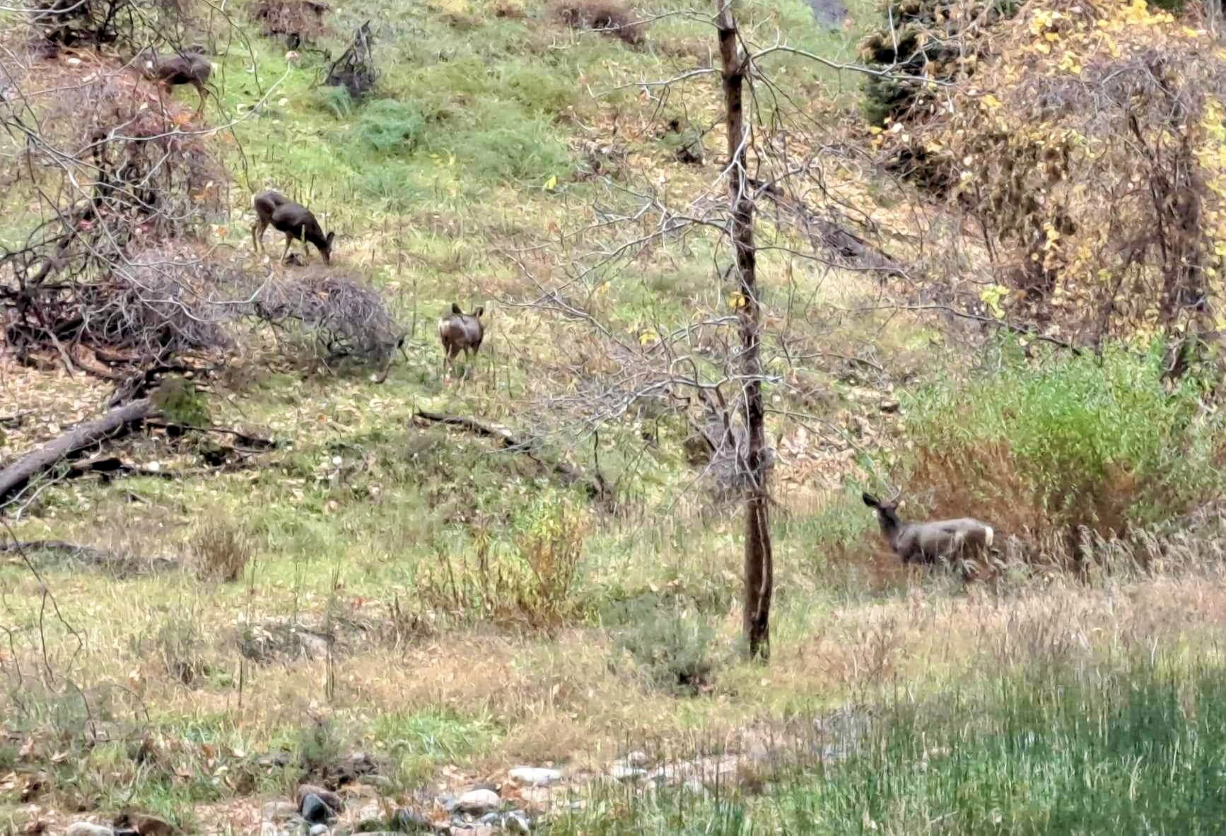
The highlight of Segment 18 is that it goes through the Rocky Mountain Arsenal National Wildlife Refuge.

Unfortunately, bikes aren’t allowed on some of the trails that the DOT uses. If you do it on a bike, just stay on the Greenway Trail all the way to the Visitor Center. The views are still very nice.

The Visitor Center is the start of Segment 19, a really pleasant stretch that wanders through several lovely parks and quiet neighborhoods.

You really have to keep an eye on the map for this segment, because the DOT jumps unpredictably from trail to path to road to trail. It’s easy to get off the route.

I continued on to Segment 20, which brought me back to the Sand Creek Regional Greenway.

I only followed that a short way. When it turned north I continued south on the trail to Central Park Blvd and Central Park Station.

It’s on the A Line, only one stop away from Peoria Station, so it was a short ride home with one transfer to the R Line.

I’m having so much fun with this. Looking forward to Loop 4, and to all the rest!

Categories: A Plethora of Parks, Animals, DOT by Bike and Rail, environment, Life, trail rides, Wildlife | Tags: , , , | Leave a comment

Thanksgiving Road Trip, Part VII: Salt Lake City (2/2)

Read Part VI here

So much going on, I almost forgot to wrap up this outing!

Over breakfast in the Park Cafe, we debated how badly we wanted to check the Great Salt Lake off our bucket list. We all felt like we’d already gotten our money’s worth from the road trip. The morning was grey and chilly, and the idea of backtracking to see a grey, chilly body of water was less appealing than the thought of heading back to our own warm, cozy house. We decided to save the lake for another time, maybe when the Temple renovations are done and we can do a proper tour.

We did stay long enough to check out Tracy Aviary at Liberty Park, right across the street from the cafe. Most of the birds were huddled out of the cold in their shelters, but the setting itself is a nice walk.

There is a pelican pond…

…and the enclosures are reasonably roomy.

Zoos make me sad. But at least the birds here aren’t in tiny cages.

Some of the larger birds definitely could have used more space, though.

After we left the aviary, we turned the Adventuremobile’s head toward home and hit the open road.

Again, Luke chose a more scenic and slightly longer route home, via US-40 through Dinosaur and Steamboat Springs rather than I-70 through Grand Junction. It’s a pretty drive, but honestly, I don’t think there are any nonscenic routes through the Rockies.

Ski runs carved out down the mountainsides. It’s been so long now, I don’t even remember where that was. Somewhere still in Utah, I think. I probably should have taken notes.

Here’s a pretty lake. Don’t remember which lake. Maybe Strawberry Reservoir? I definitely should have taken notes.

No idea which rest area this was. Might have been Pinion Ridge. It has a nice little trail to get out and stretch your legs on.

In the afternoon it started snowing again, and the road got slick.

We slid around a bit, but we made it through with only a couple of tense moments.

I wish I’d had a proper camera to capture that moonrise.

We made it home late that night, and I slept like a rock in my warm bed. We all agreed that future road trips would be in warmer seasons, at least until that camper shell window gets replaced.

Unless we’re visiting more national parks, because I love having those mostly to ourselves in the off season. I’d like to see Yellowstone and Glacier soon.

And that was our November trip! Only took me three months to get it all blogged, and now spring is only a few weeks away.

I am very much ready for spring.


Categories: A Plethora of Parks, Animals, Family, Holidays, kids, Life, Road trip, Travel, Weather, Wildlife, Winter | Tags: | Leave a comment

Thanksgiving Road Trip, Part IV: Zion National Park (2/2)

Read Part III here

The last shuttle stop on the line is in a natural amphitheater called the Temple of Sinawava, carved out of Zion Canyon by the Virgin River.

From here you can follow the paved riverwalk for about a mile between the canyon walls.

I think my phone and my GoPro were competing to see who could do the least amount of justice to this spectacular scenery.

The pavement stops at the mouth of the Narrows, where the river itself becomes the trail. This is as far as we could go without getting our feet wet.

So we headed back.

I like the “hanging gardens” that grow straight from the weeping rocks.

By the time we got back to the shuttle, the afternoon was turning to evening.

We left the park through the South entrance.

Ideally it’s a two-hour drive from Zion to Bryce Canyon National Park. But the traffic was so bad on the normal route that Google took us on a more circuitous detour via Cedar City. In better weather it only would have added about thirty minutes to that ideal drive time. But the snow was starting to roll in for real, and the roads were getting slick.

That drive was so scenic that I wish we could have seen it in the daytime. Snow falling on evergreen-forested mountains as pretty as a Christmas card. Really lovely. We stopped for the night at a snow-covered rest stop not far from the Park entrance.

Gentle reader, it was cold. Temps down in the mid-teens, and with the camper shell missing a window it felt like sleeping outside. I’ve been saying I need to buy a proper sleeping bag, but I think this trip was the motivation I needed to finally do that. Definitely before my next winter trip. Brr.

More to come!

Categories: A Plethora of Parks, Animals, environment, Family, Holidays, kids, Life, Road trip, Travel, Weather, Wildlife | Tags: | 1 Comment

Road Trip 2022, Part X: Kings Canyon and Sequoia National Parks

From San Francisco we drove east to Manteca, then southeast through Modesto down to Fresno, and then east again into the Sierra Nevada mountains.

Around 5:30 pm, we arrived at the Big Stump entrance to Kings Canyon National Park.

A longish line of cars slowed our entry into the park, which reminded us that it was now Friday afternoon of Memorial Day Weekend.

Inside the park we stopped for a nice dinner at the Grant Grove Village Restaurant, peeked through the windows of the closed Visitor Center, and then continued up to Grant Grove itself. We walked the General Grant Tree Trail, a short loop that features an old cabin and some of the world’s largest living trees.

Like the coastal redwoods, the mountain sequoias don’t translate well into photographs. In person they are massive and imposing and majestic, in photos they are just trees.

This is where my pics start to get blurry. Afternoon was turning into evening, and my GoPro doesn’t handle low light well at all.

I will say that I like the sequoia forests better than the primeval jungles of coastal redwoods. They just seem friendlier. Maybe it’s because I feel at home in California mountains in general, so the Sierra Nevadas did not make me feel like a stranger in an alien landscape.

The trees here still show the scars of the big KNP Complex fire that tore through Kings Canyon and Sequoia National Parks last fall, the fire that provided the final motivation for this road trip.

Unlike the coastal forests, the sequoias seem to avoid touching one another at all. They are not as tall as the coastal redwoods, but their thicker bases make them larger by volume. The redwood trunks are straight poles, the sequoia trunks taper as they go up.


Campsites at Kings Canyon and Sequoia National Parks can’t be reserved more than 30 days in advance, and after that they go fast, especially on a holiday weekend. The campsite I’d been able to get reservations for wasn’t my first, second or third choice, but by the time I’d secured an available site I was just thankful to have found one at all. It’s a bit of a drive to Princess Campground, but the views are nice on the way up.

The campground was more crowded and noisy than we had experienced so far on the trip, but that was to be expected on a holiday weekend. The real surprise came when we left camp the next morning: the park had filled to the brim with people. Cars and crowds everywhere.

Back at the visitor center, which was now open, we secured the first and only park stamp that we managed to get on the entire trip.

We had a full day’s itinerary planned, and we didn’t get to do any of it. The parks were just too crowded, the lines too long, the parking lots too full. We drove the Generals Highway from Kings Canyon to Sequoia National Park, past vast stretches of burned landscape.

A prescribed burn was smoking in the distance, so I don’t know how much of the damage we saw was from last year’s KNP Complex Fire and how much was controlled burn-off.

Still a pretty drive. There were places the fire hadn’t touched, and places where the beauty of the mountains shone through the burn scars.

Scorched giant, stranger for scale.

We stopped to splash around in the Marble Fork Kaweah River. This is the river that feeds Tokopah Falls, which we had planned to hike to. We weren’t far from the trailhead at that point, but the crowds and overflowing parking lots were more of a barrier than we wanted to deal with.

So we mostly stayed in our car and enjoyed what views we could see from the highway.

We did stop at a relatively uncrowded picnic area, where we saw our very first bears in the wild.

A mama and her cub, presumably in search of pic-a-nic baskets.

I was willing to brave the throngs to hike the Moro Rock Trail, but we never saw the sign for the trailhead. By the time we realized that we must have passed it, none of us wanted to turned around and go back.

The crowds thinned as we left the big Instagram-worthy attractions behind. We began to have less competition for the mountain view overlooks, so we stopped to enjoy them whenever we came to a turnout.

We descended below the Sequoias, and the landscape changed around us through the different elevations.

By the time we got to the lower borders of the park, we were back in the “golden hills” that I associate with California.

Park sign, stranger for…well, mostly because this was the least crowded pic I managed to get.

We exited the park via the Ash Mountain Entrance, and beginning at the entrance station we drove past a loooooooong line of vehicles trying to get into the park. Miles and miles of cars and trucks lined up down the road.

We saw another young bear, this one trying to get across the road and completely stressed out by all the vehicles.

Poor little guy.

So we didn’t get to see the mighty General Sherman tree or do the other things we had planned in those parks, but we did get to marvel at some really big Sequoias, appreciate the majesty of the Sierra Nevadas and finally see some bears in the wild. We were satisfied.

More to come!

Categories: A Plethora of Parks, Animals, environment, Family, food, Holidays, kids, Life, Road trip, Travel, trees, Wildlife | Tags: , , | Leave a comment

Road Trip 2022, Part VII: Rocks to Redwoods

In Bandon, Oregon we visited Face Rock Creamery for some really good ice cream, and then headed down to Bandon beach to check out the famous rock formations and tide pools. We arrived at low tide, a great time to see both.

Of all the strange and lovely rocks on Bandon Beach, for some reason I like this one the best. Just a random boulder the size of a house. I love it.

Here’s the Face Rock that Face Rock Creamery and other local businesses are named for. Looks like a giant taking a bath in the sea:

And here is my second-favorite rock on this beach, the shattered one in front that looks like a wizard’s hat or a crescent moon. I wonder what happened to the rest of it.

This is just a really pretty beach.

Sea stars were more plentiful here than at the other tide pools we visited.

We could have spent half the day exploring Bandon Beach, but we had reservations for that night at Jedediah Smith Redwoods State Park in California and didn’t want to fall behind schedule. After an hour or so we got our sandy selves back to the car and continued down the coast.

We pulled into the parking lot at Prehistoric Gardens, debating whether to buy tickets and take the tour.


In the end we decided we were all a bit older than the target demographic and moved on.

Just north of Brookings we came upon a place of otherworldly beauty. A place where tall trees thrive on seemingly bare rock, where the land thrusts stony fingers into the sea and the sea cuts round culverts through them.

It’s one of the loveliest places I’ve ever seen.

As we crossed into California, the landscape began to change. We had left The People’s Coast behind and were back in the land of billboards and shopping centers. We stopped to see a big ship that had once been the gift shop for a tropical-themed resort.

By now the shadows were lengthening and we were in danger of losing daylight. We hurried on to Jedediah Smith Campground, found our reserved site and set up camp in the forest-scented twilight.

To be continued!

Categories: Animals, environment, Family, food, Holidays, kids, Life, Road trip, Travel, Weather, Wildlife | Tags: , , , , , , | Leave a comment

Blog at WordPress.com.