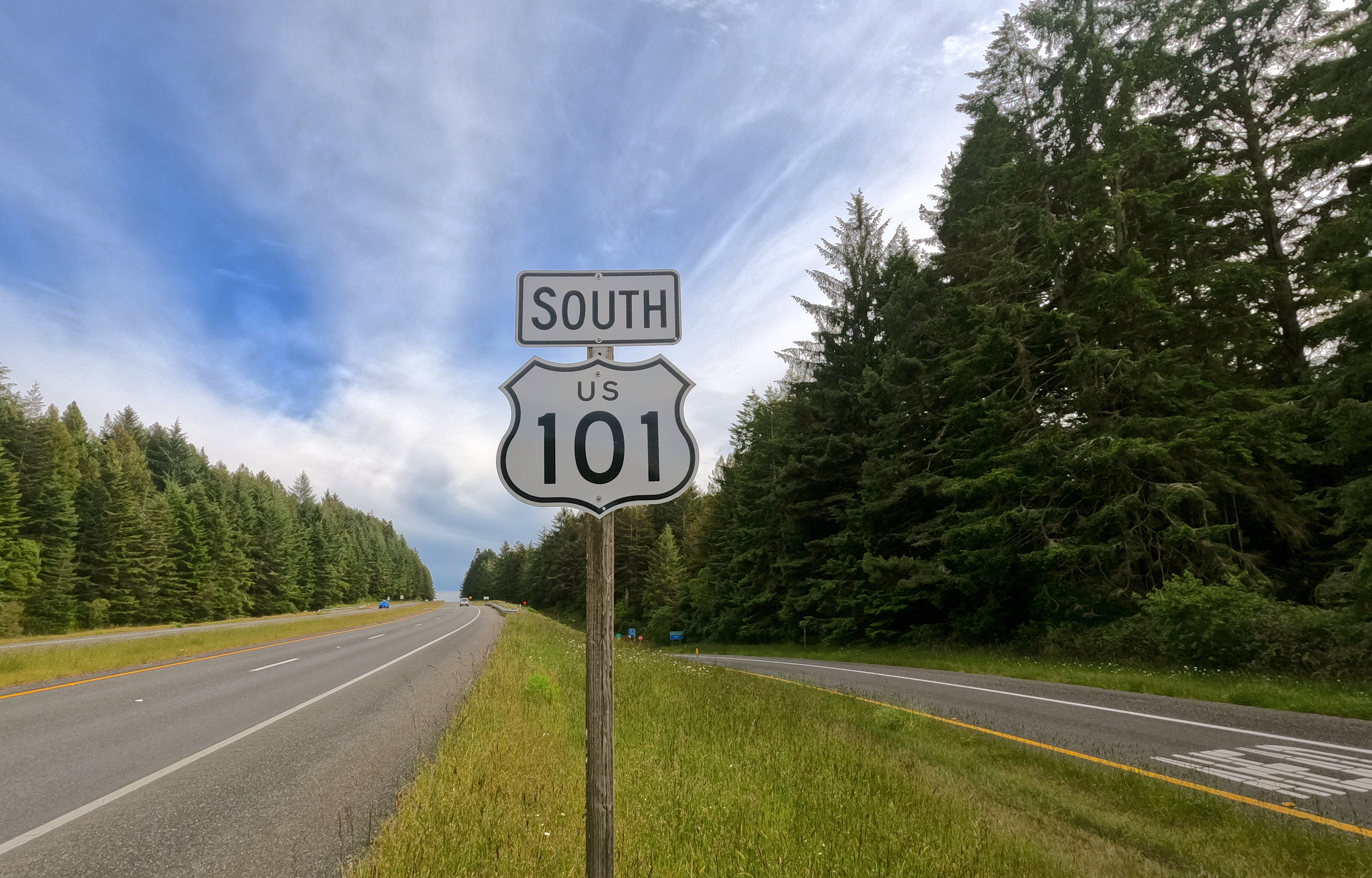
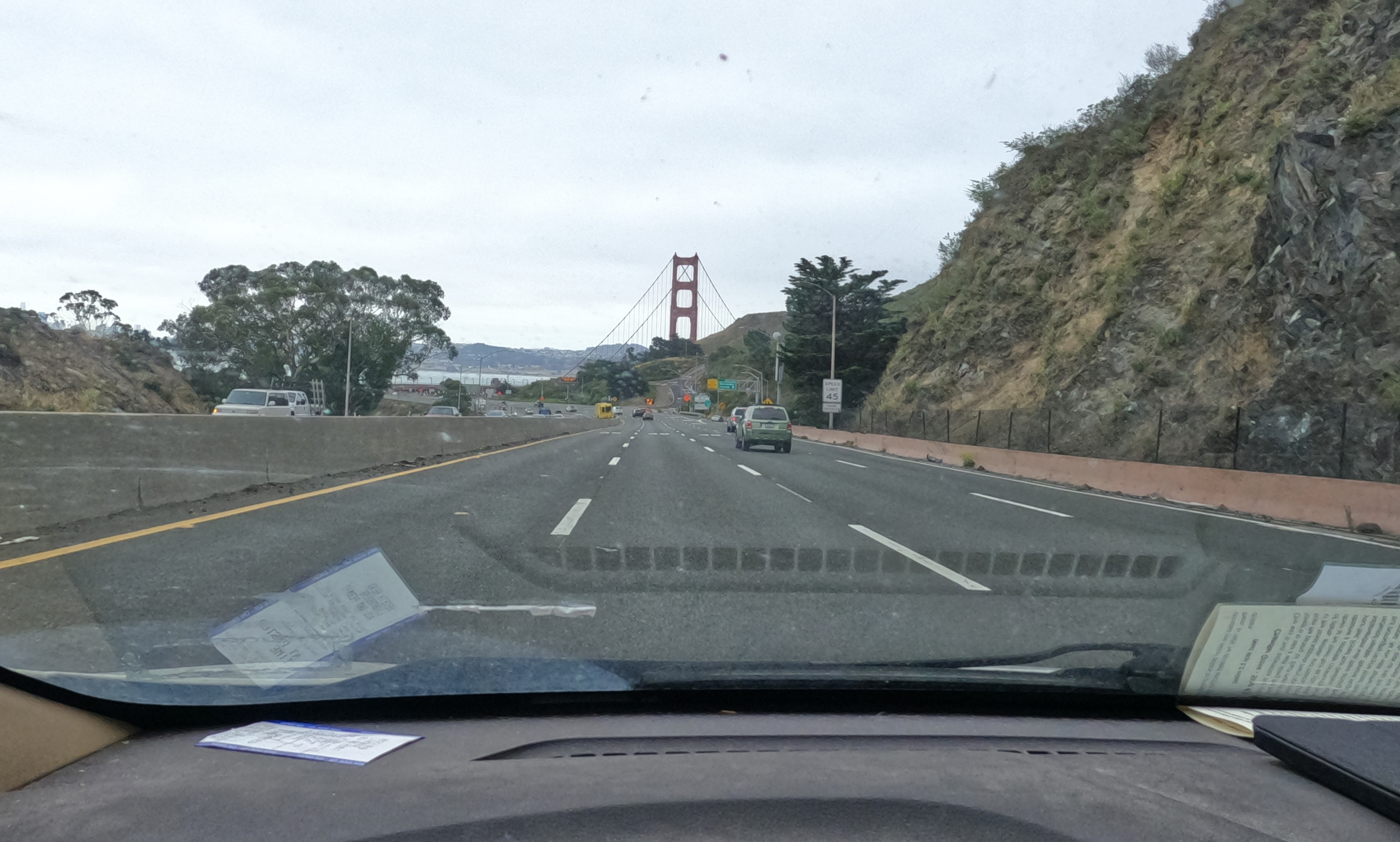
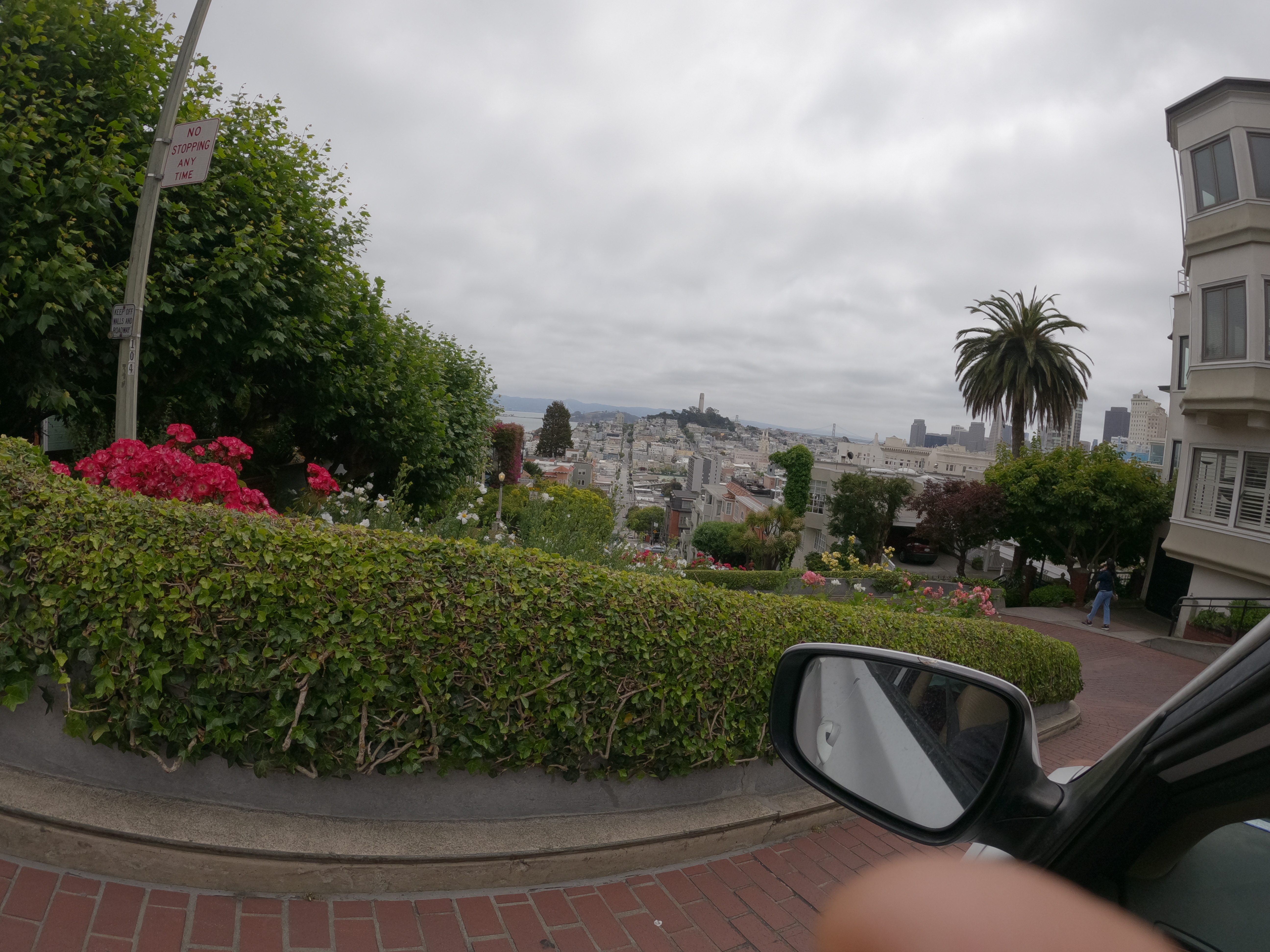
From San Francisco we drove east to Manteca, then southeast through Modesto down to Fresno, and then east again into the Sierra Nevada mountains.

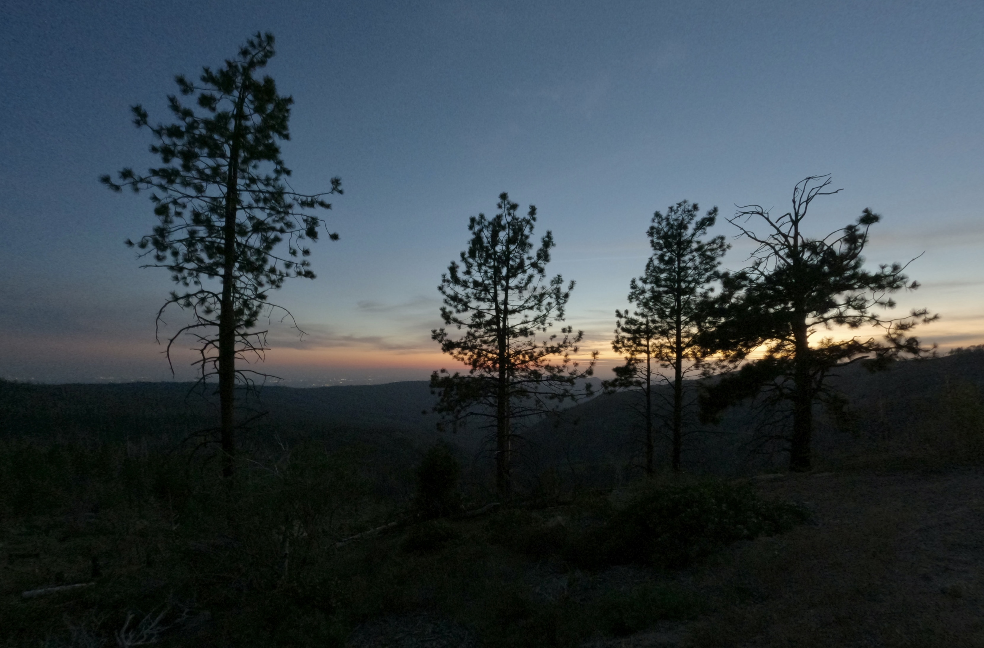
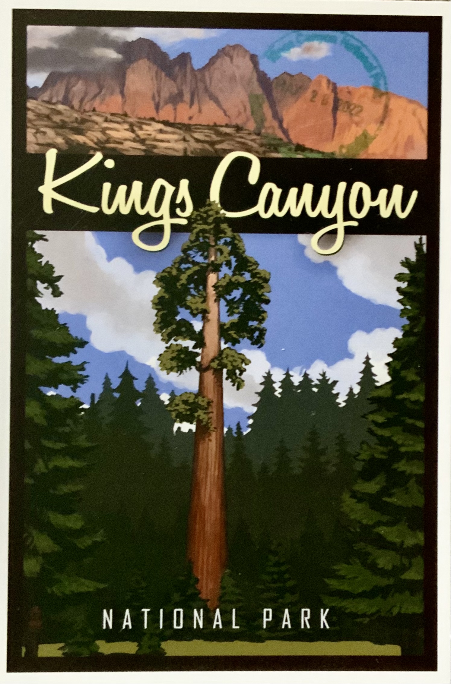
Around 5:30 pm, we arrived at the Big Stump entrance to Kings Canyon National Park.

A longish line of cars slowed our entry into the park, which reminded us that it was now Friday afternoon of Memorial Day Weekend.
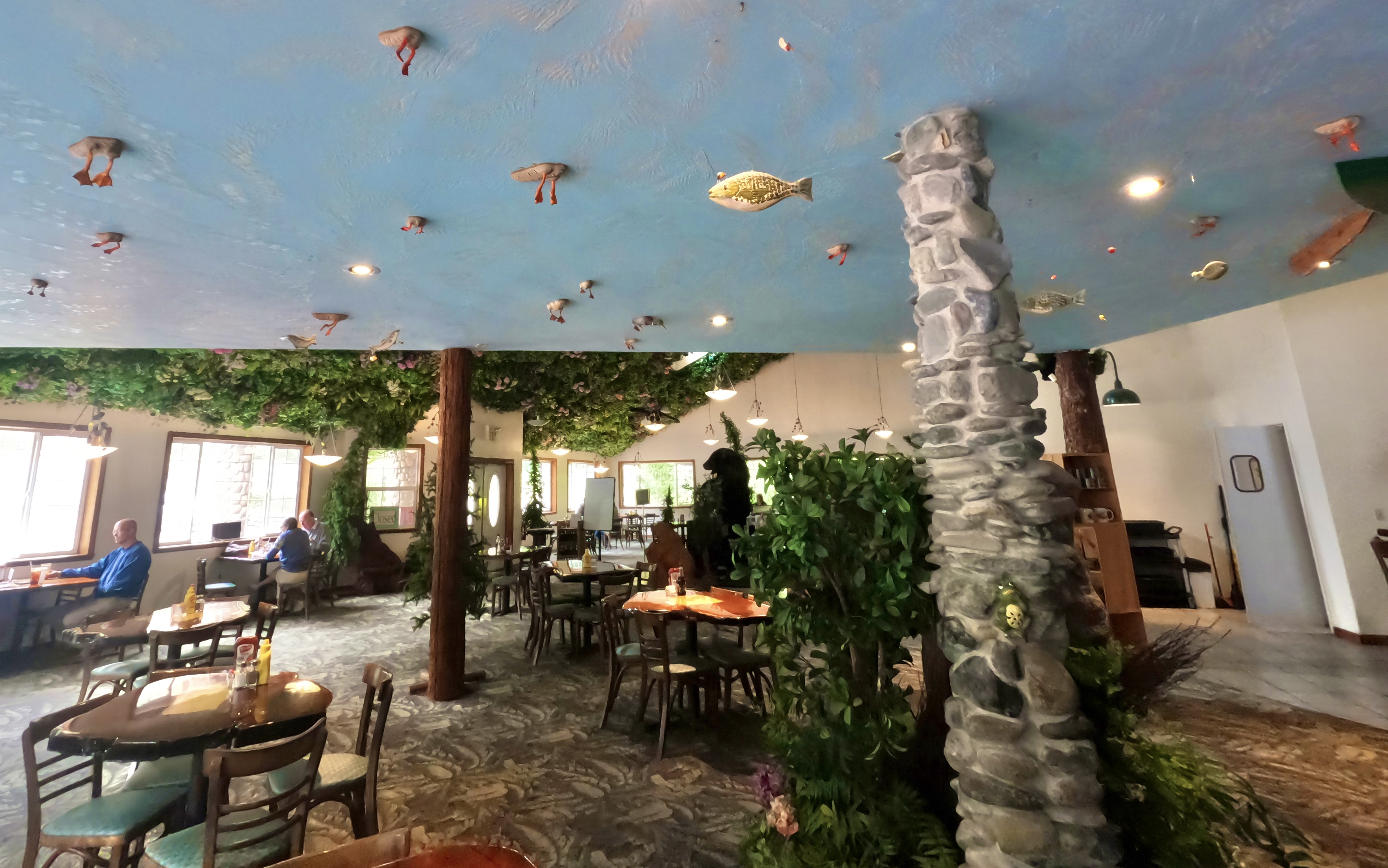
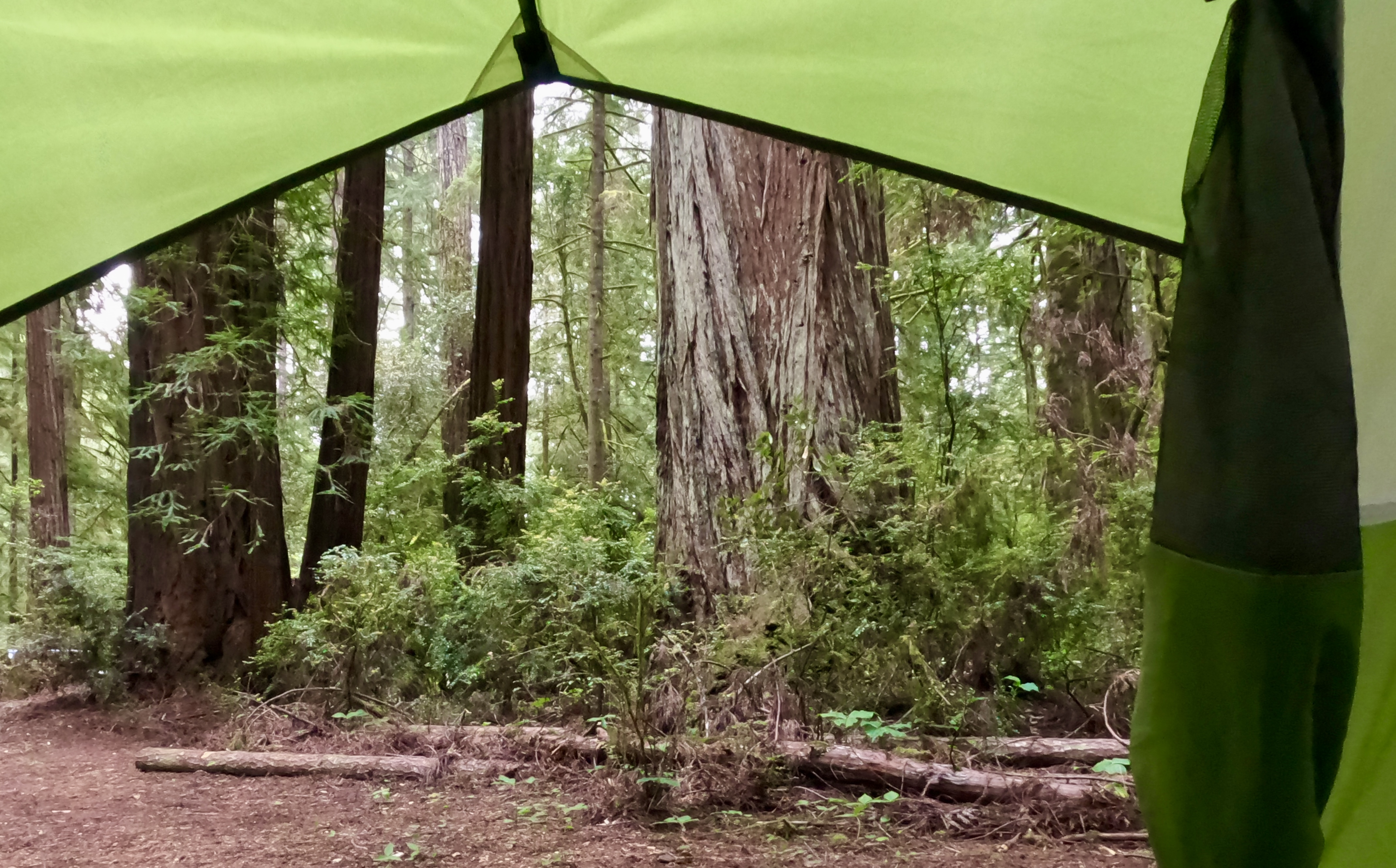
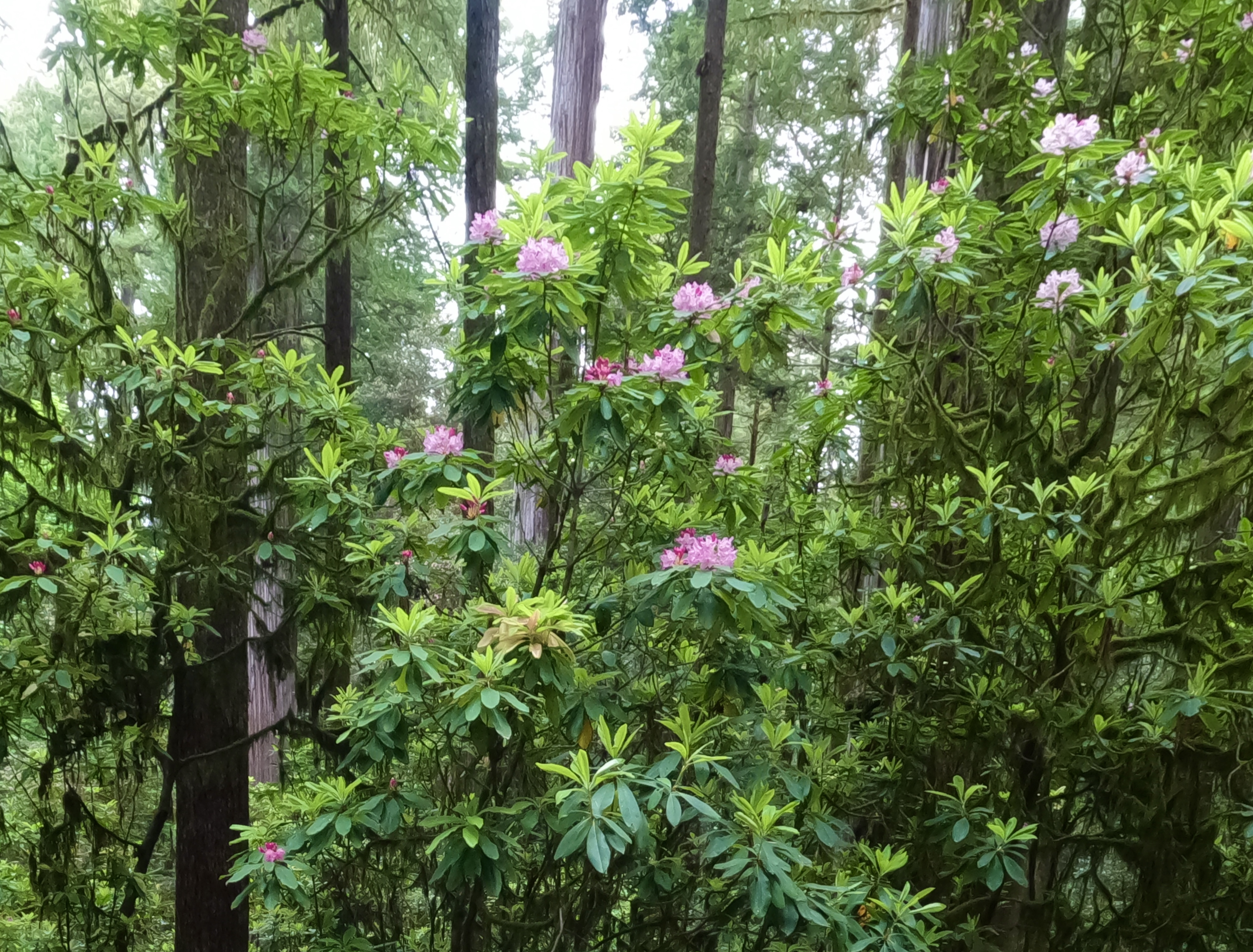
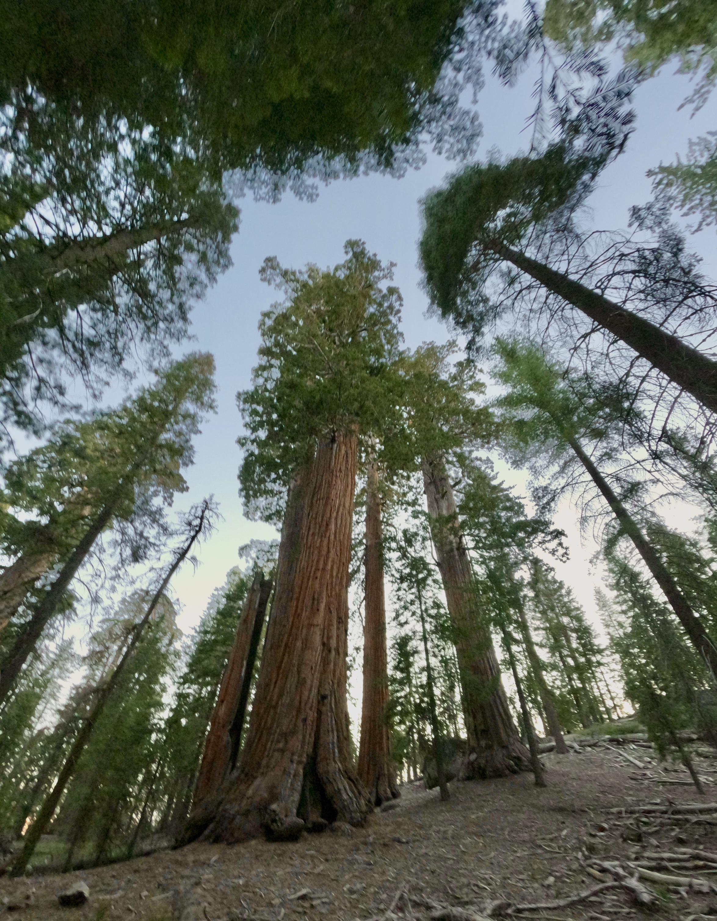
Inside the park we stopped for a nice dinner at the Grant Grove Village Restaurant, peeked through the windows of the closed Visitor Center, and then continued up to Grant Grove itself. We walked the General Grant Tree Trail, a short loop that features an old cabin and some of the world’s largest living trees.
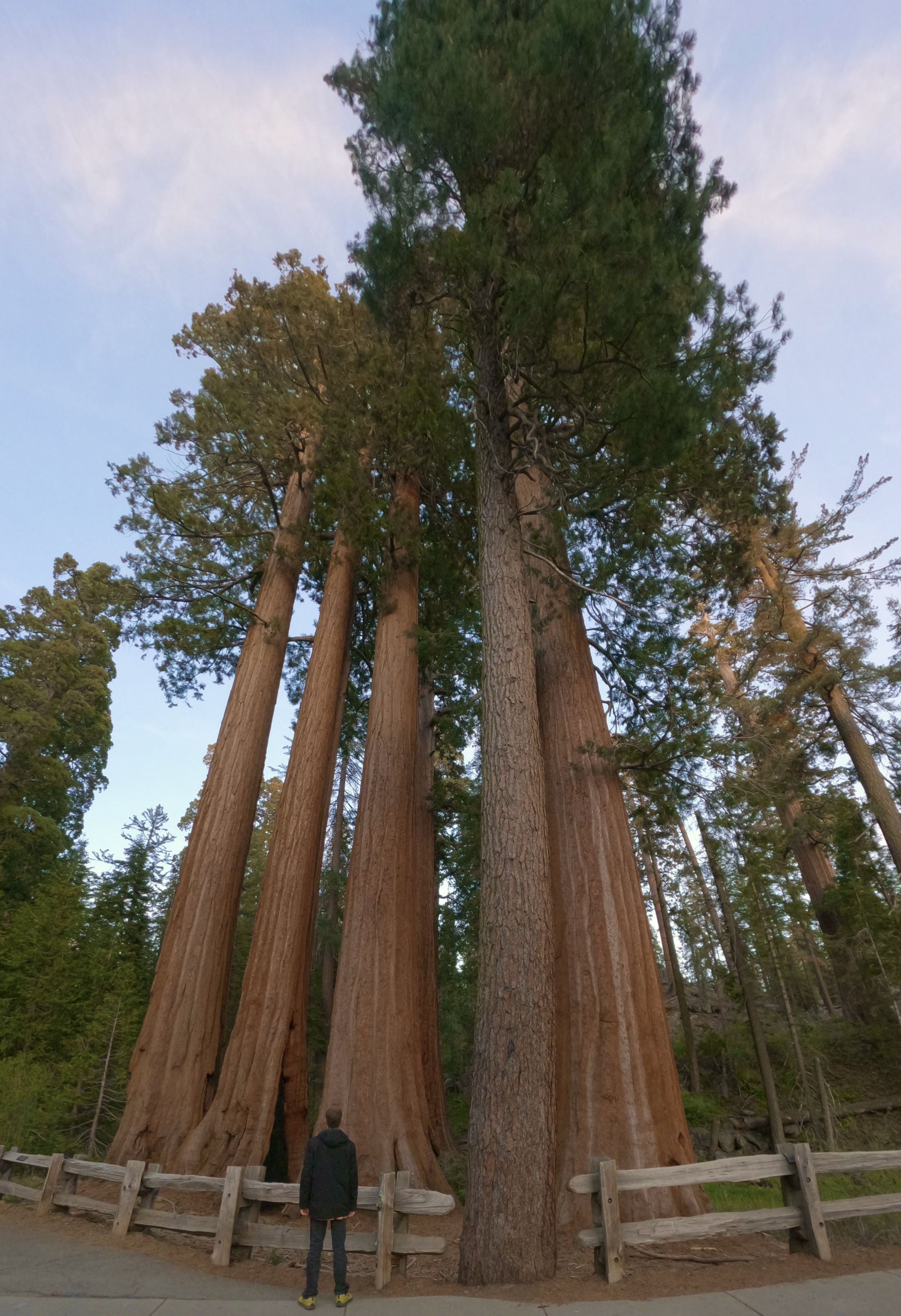
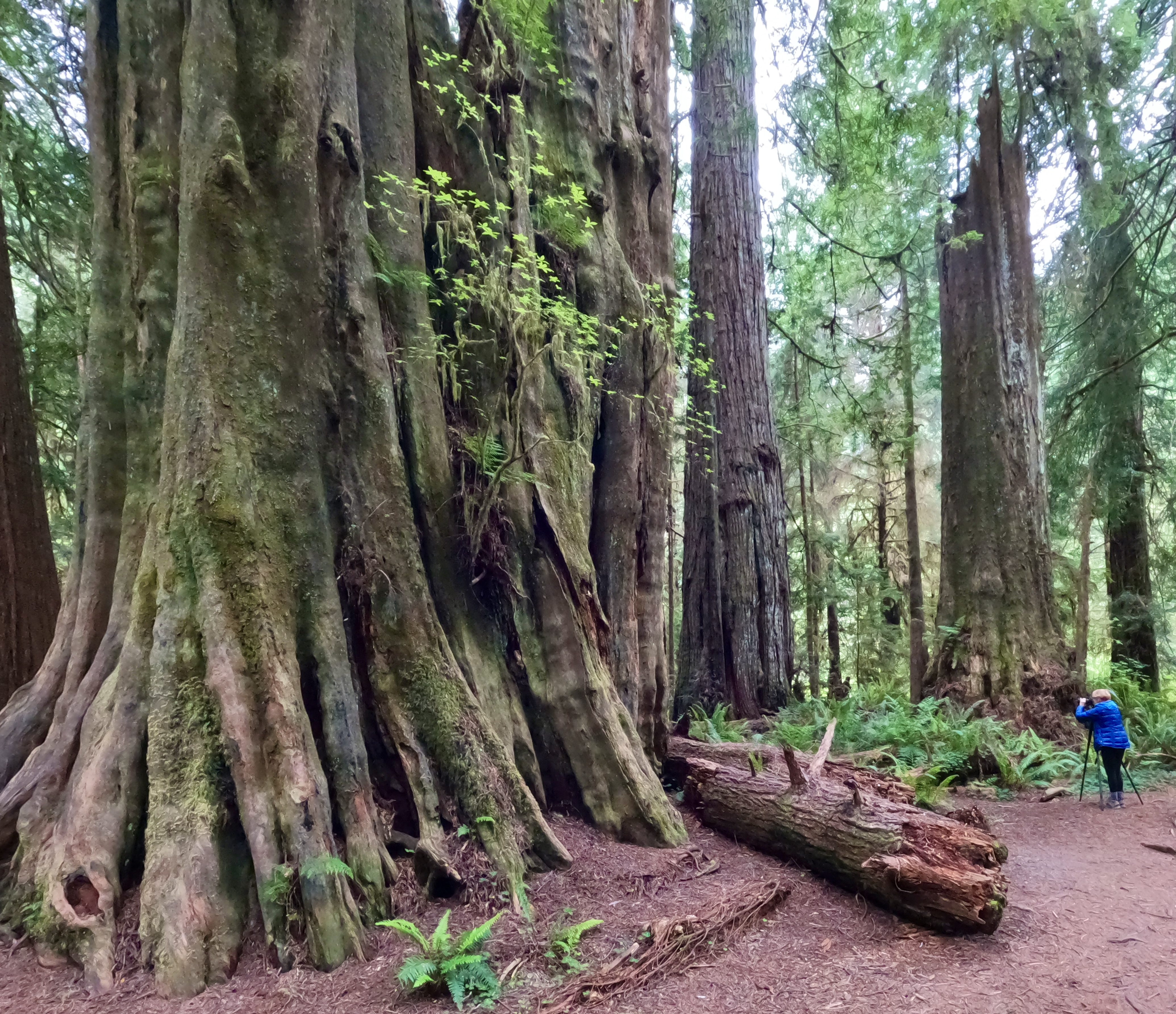
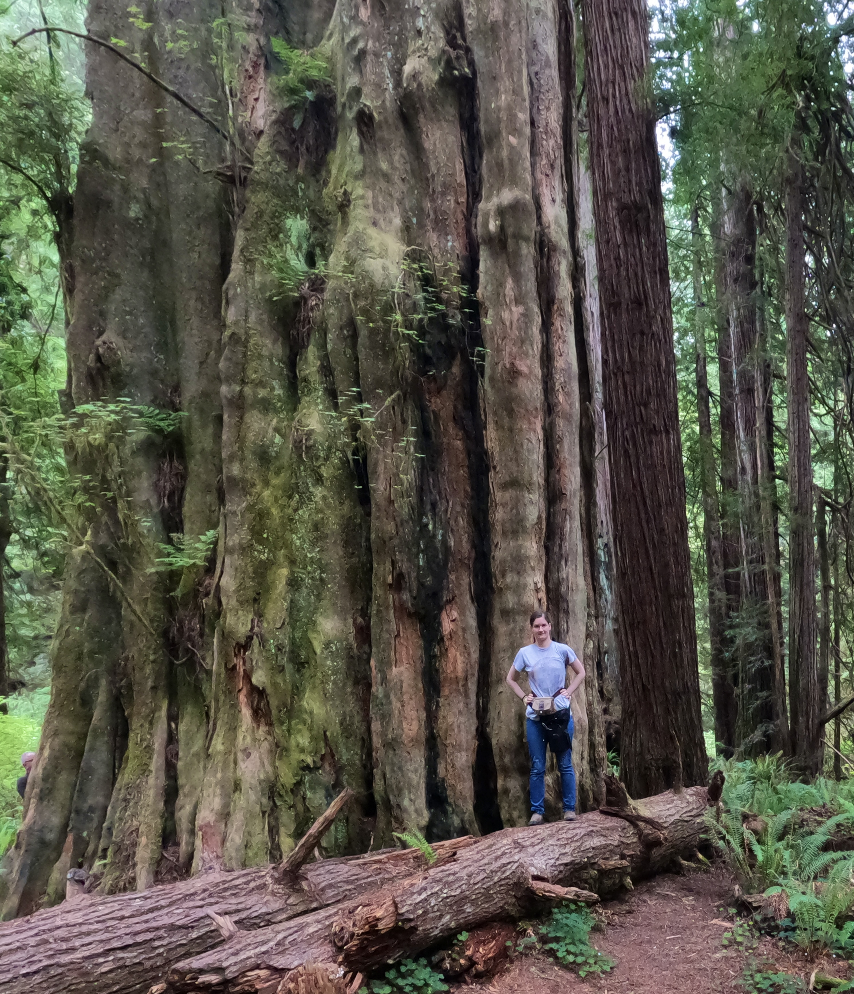
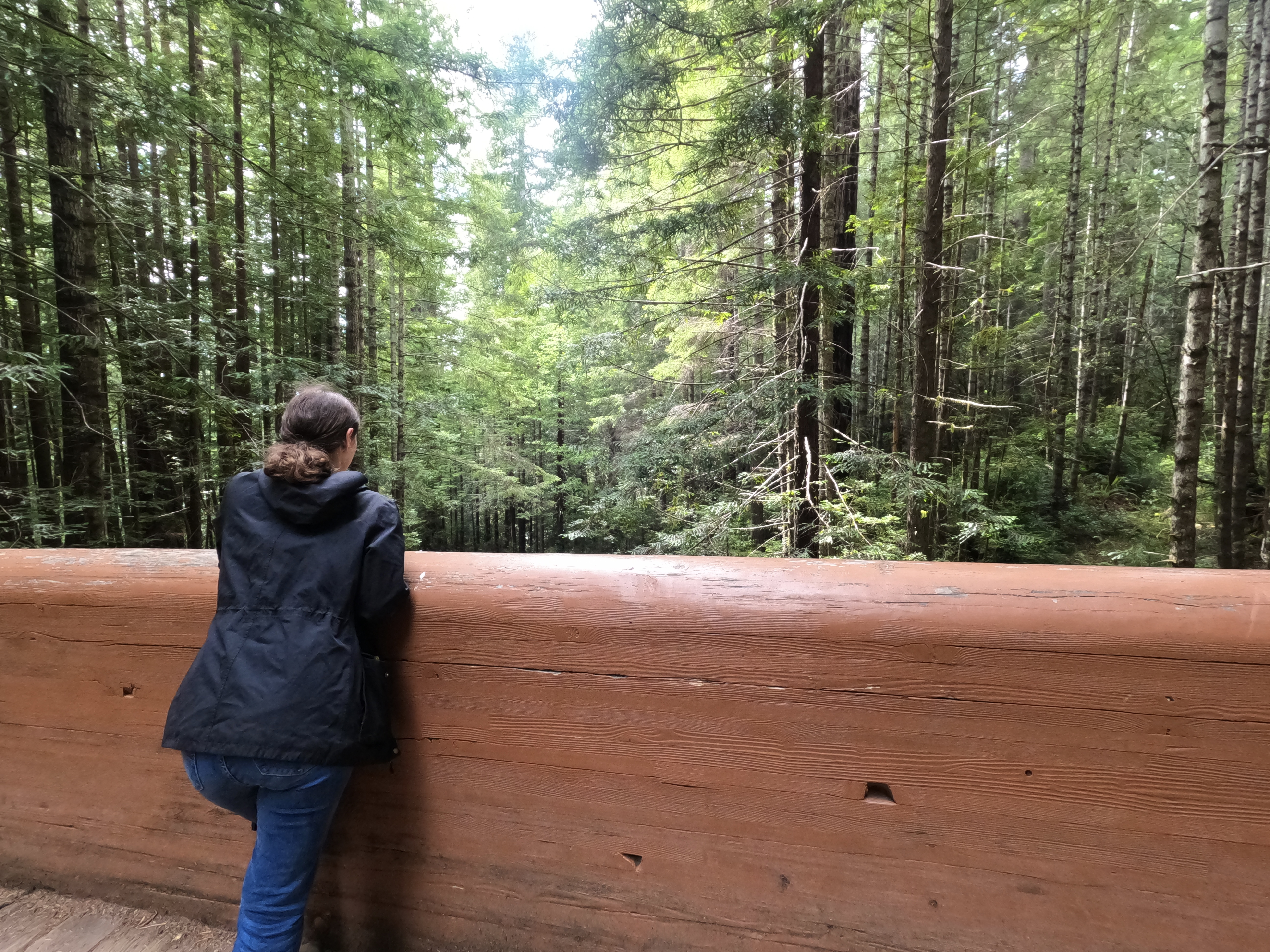
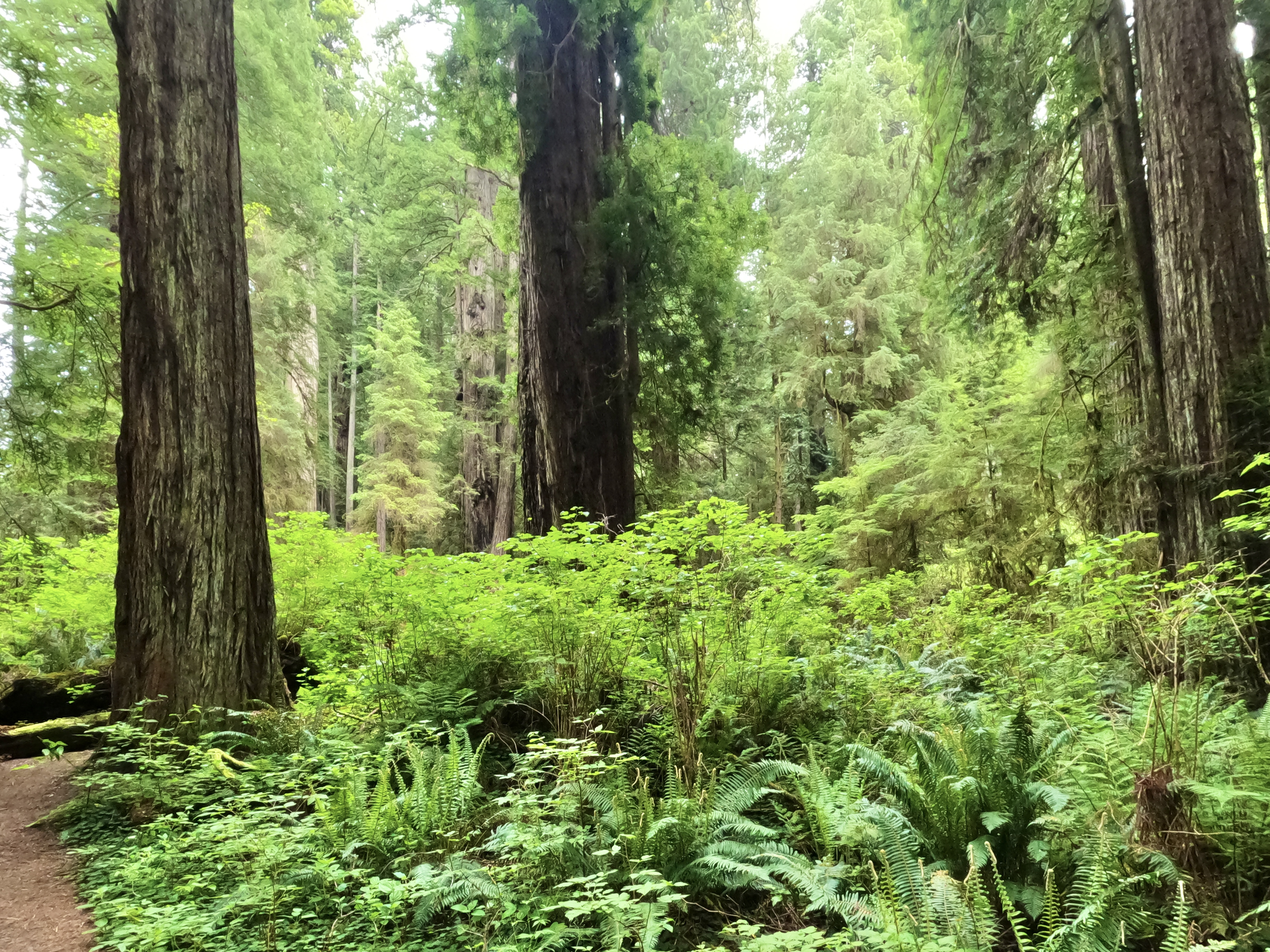
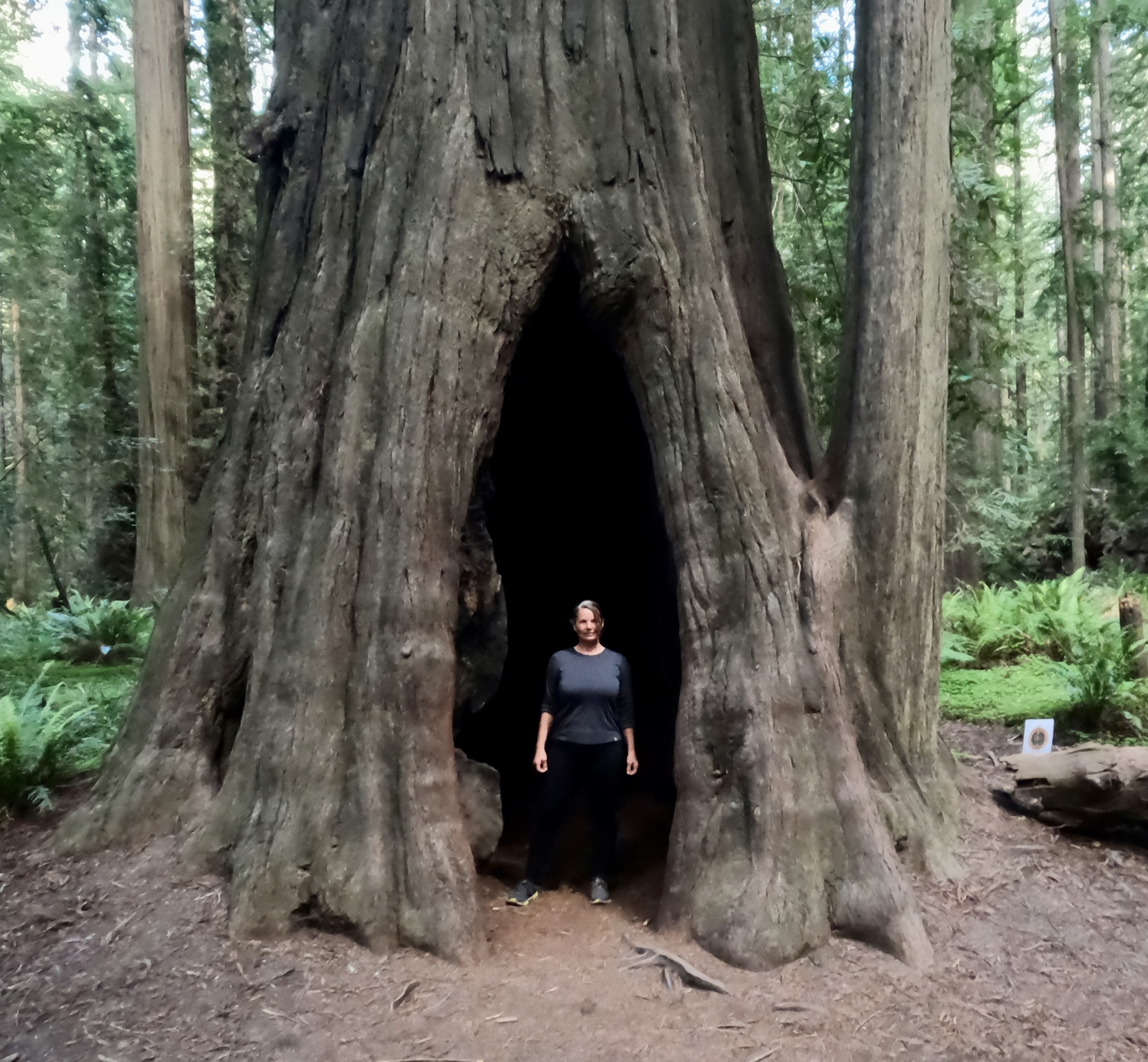
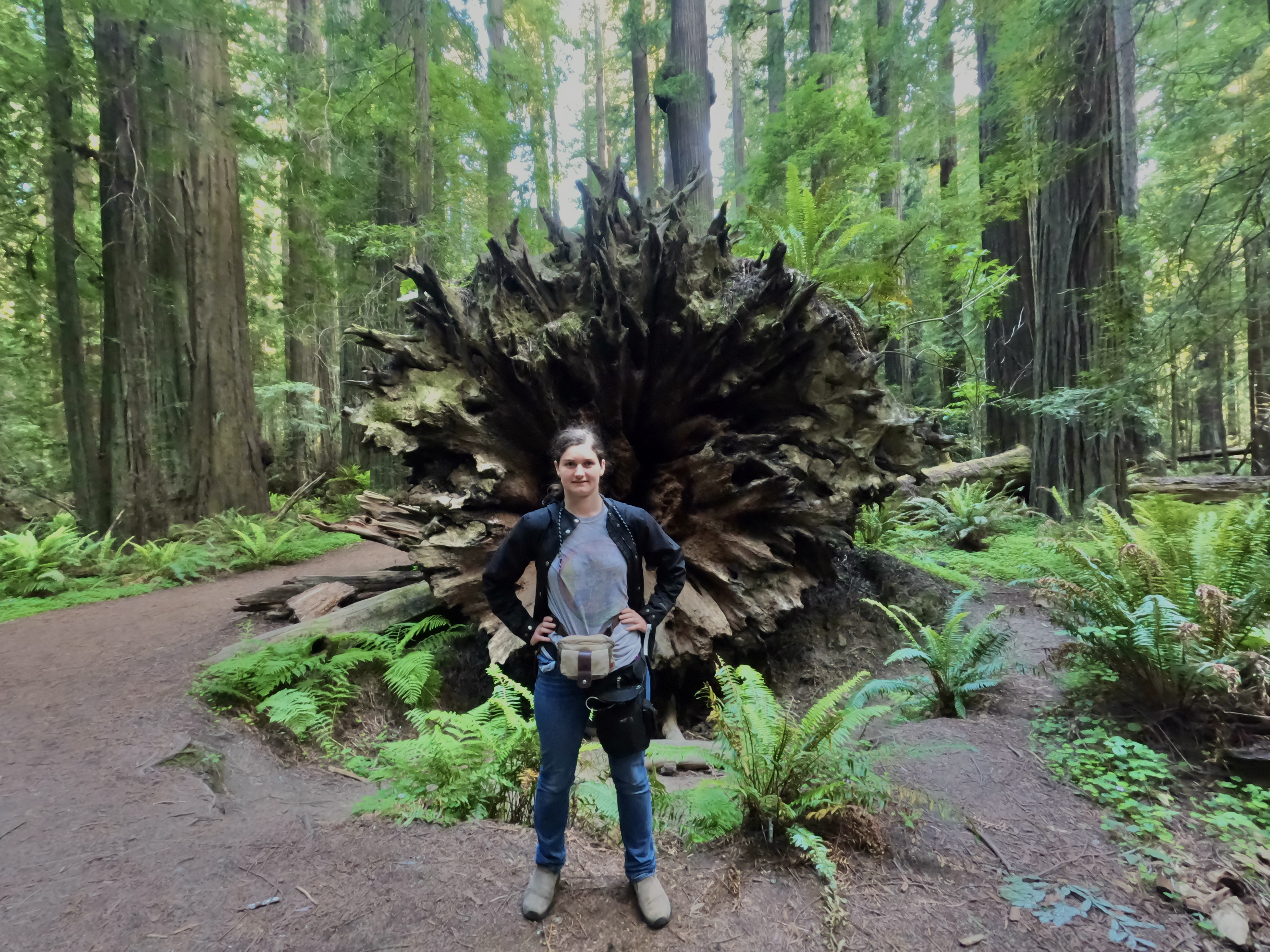
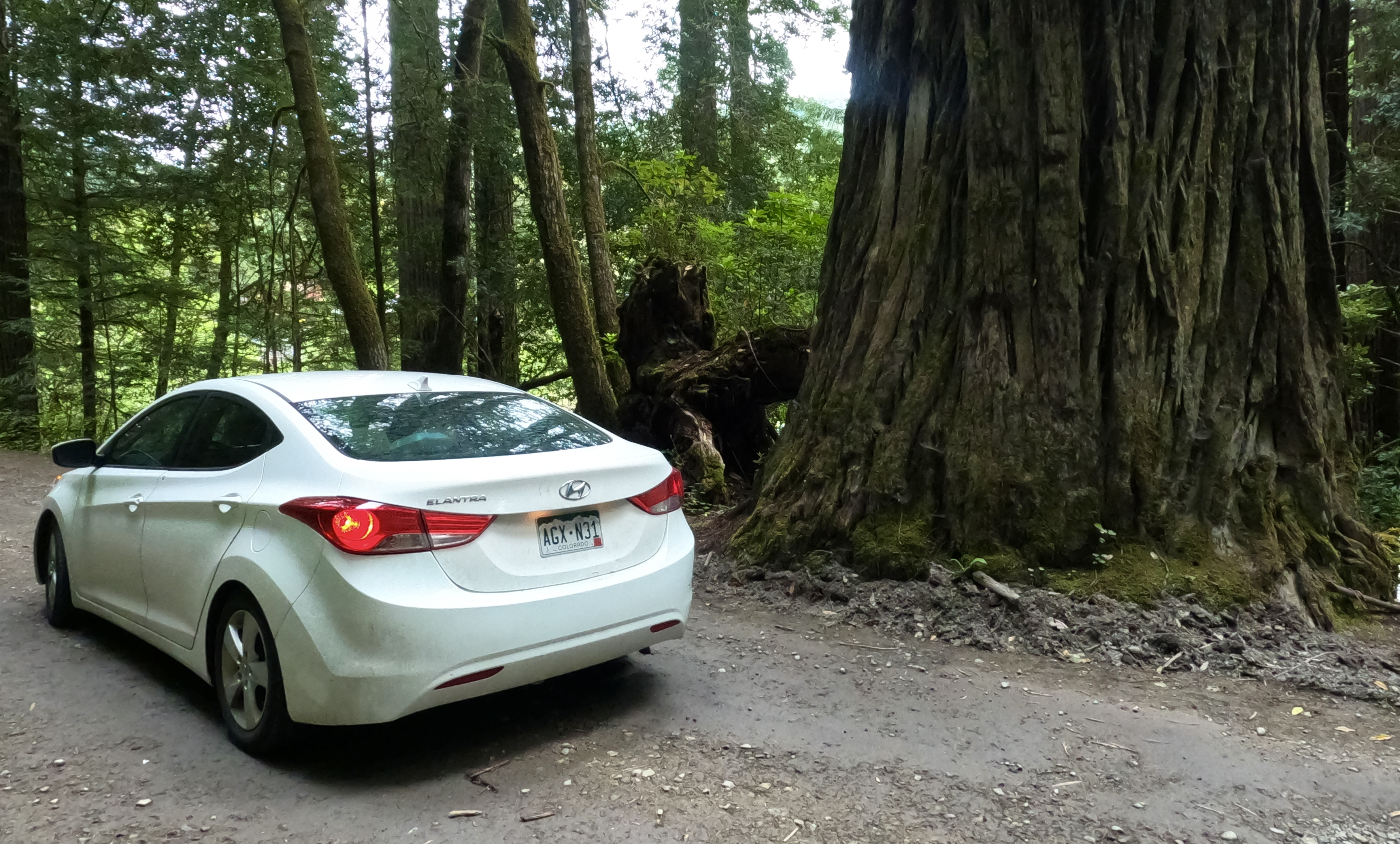
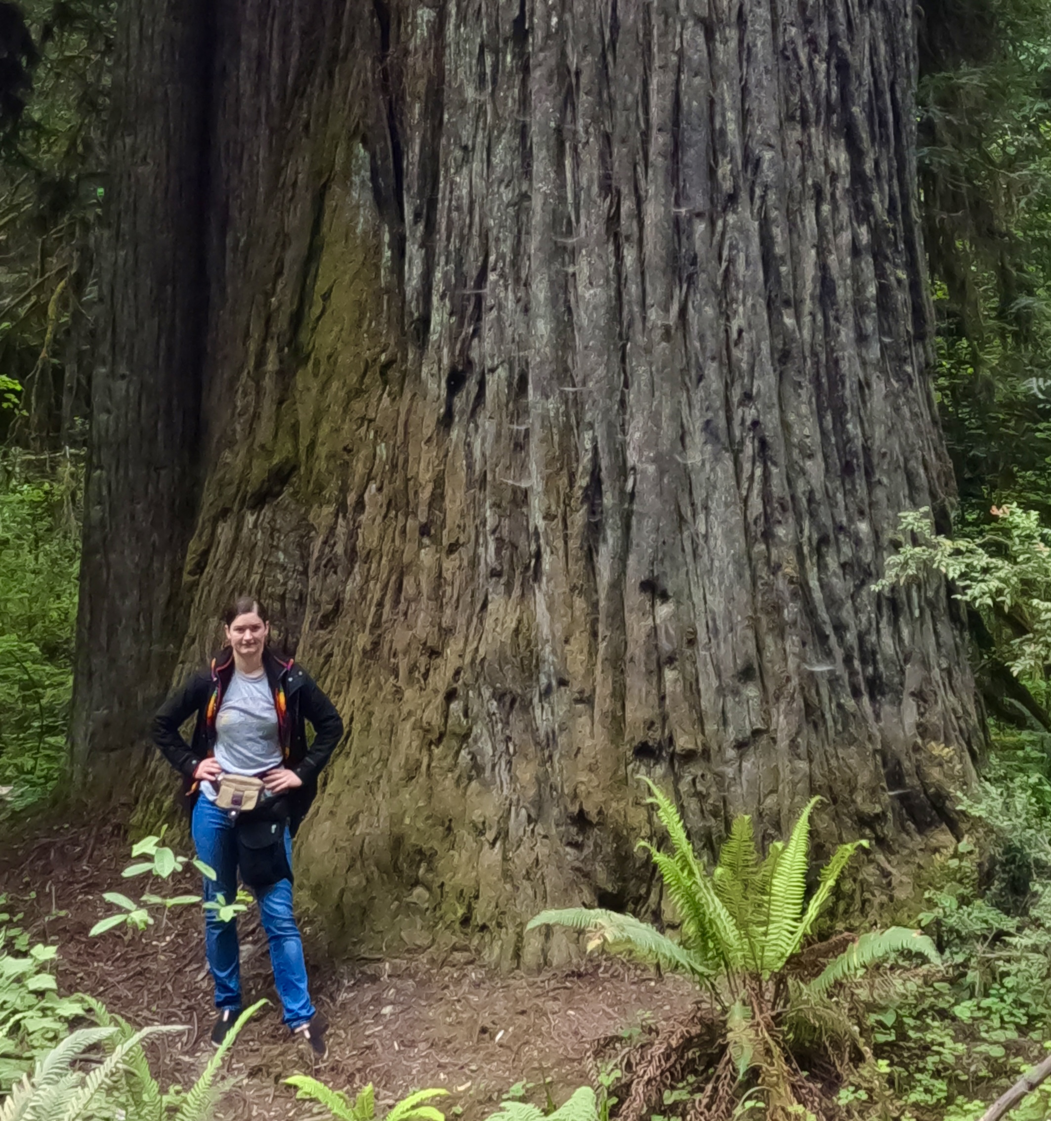
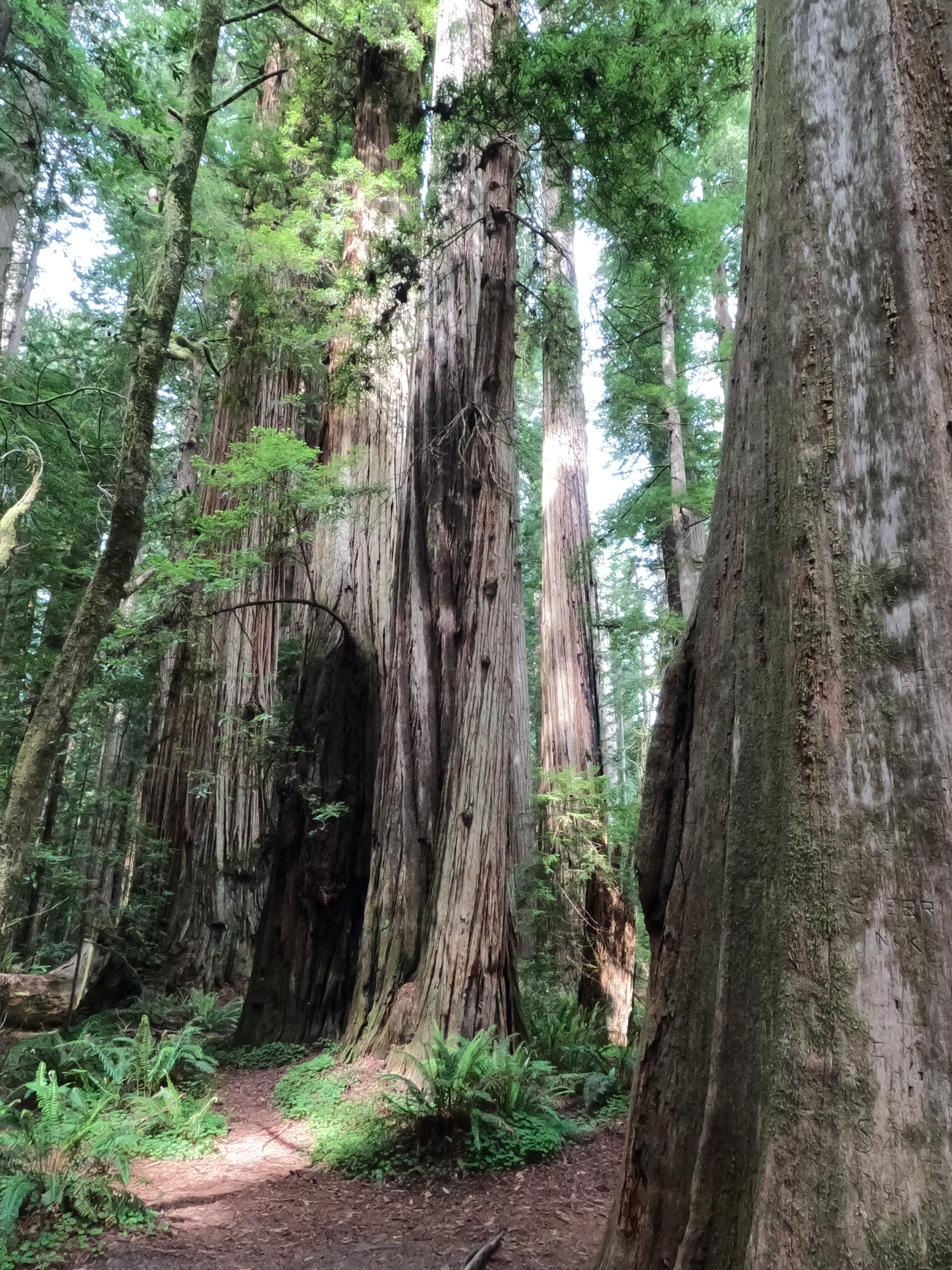
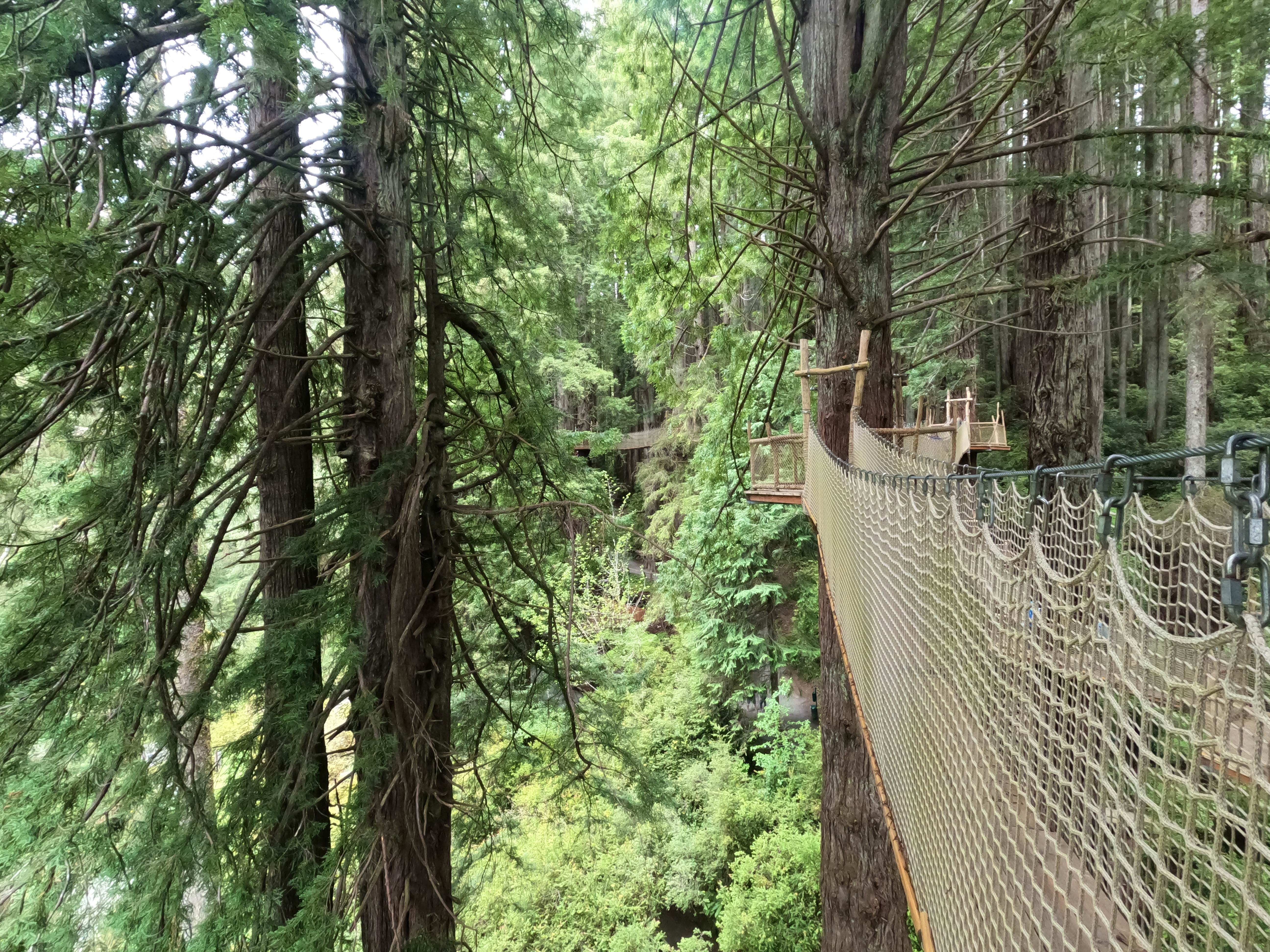
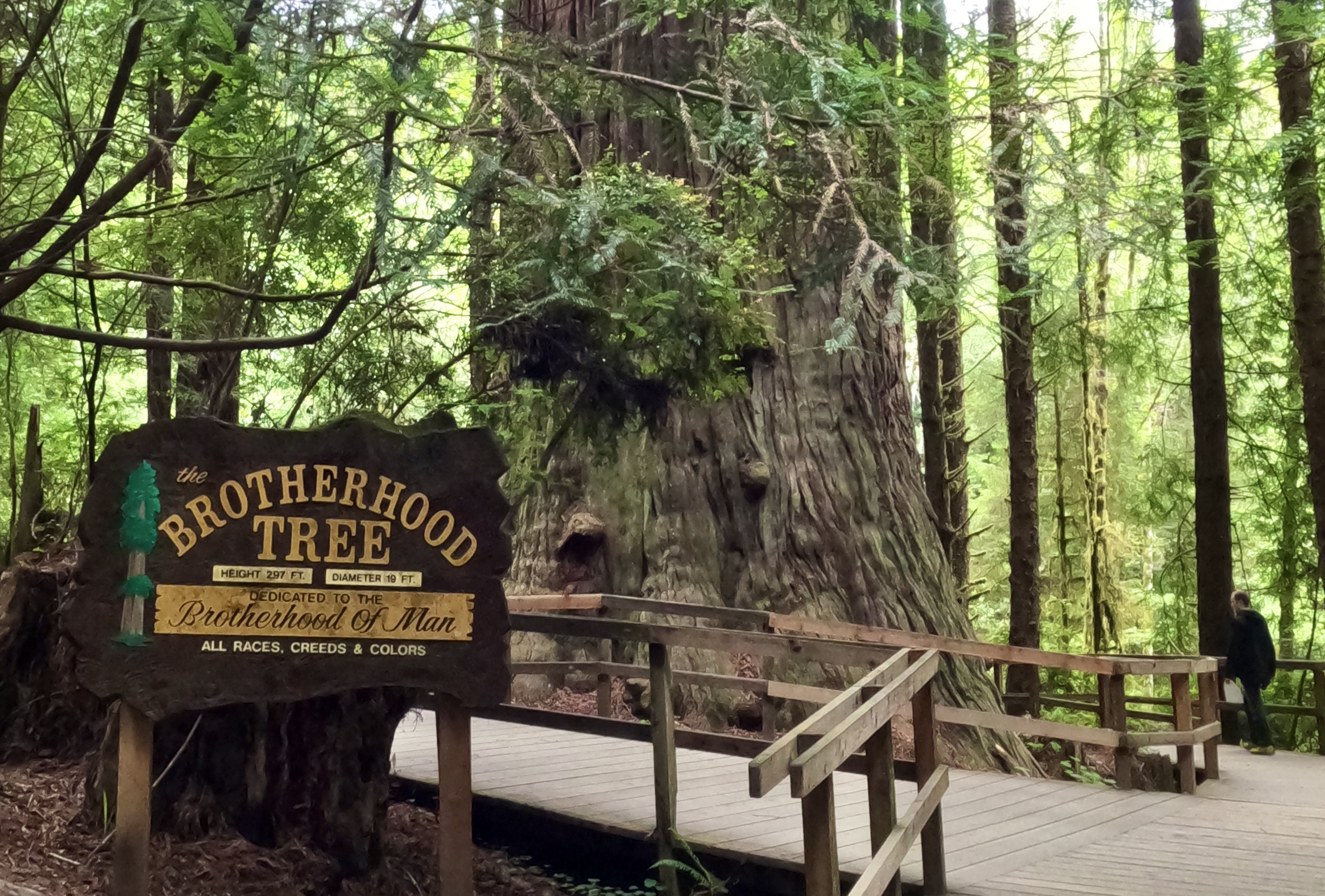
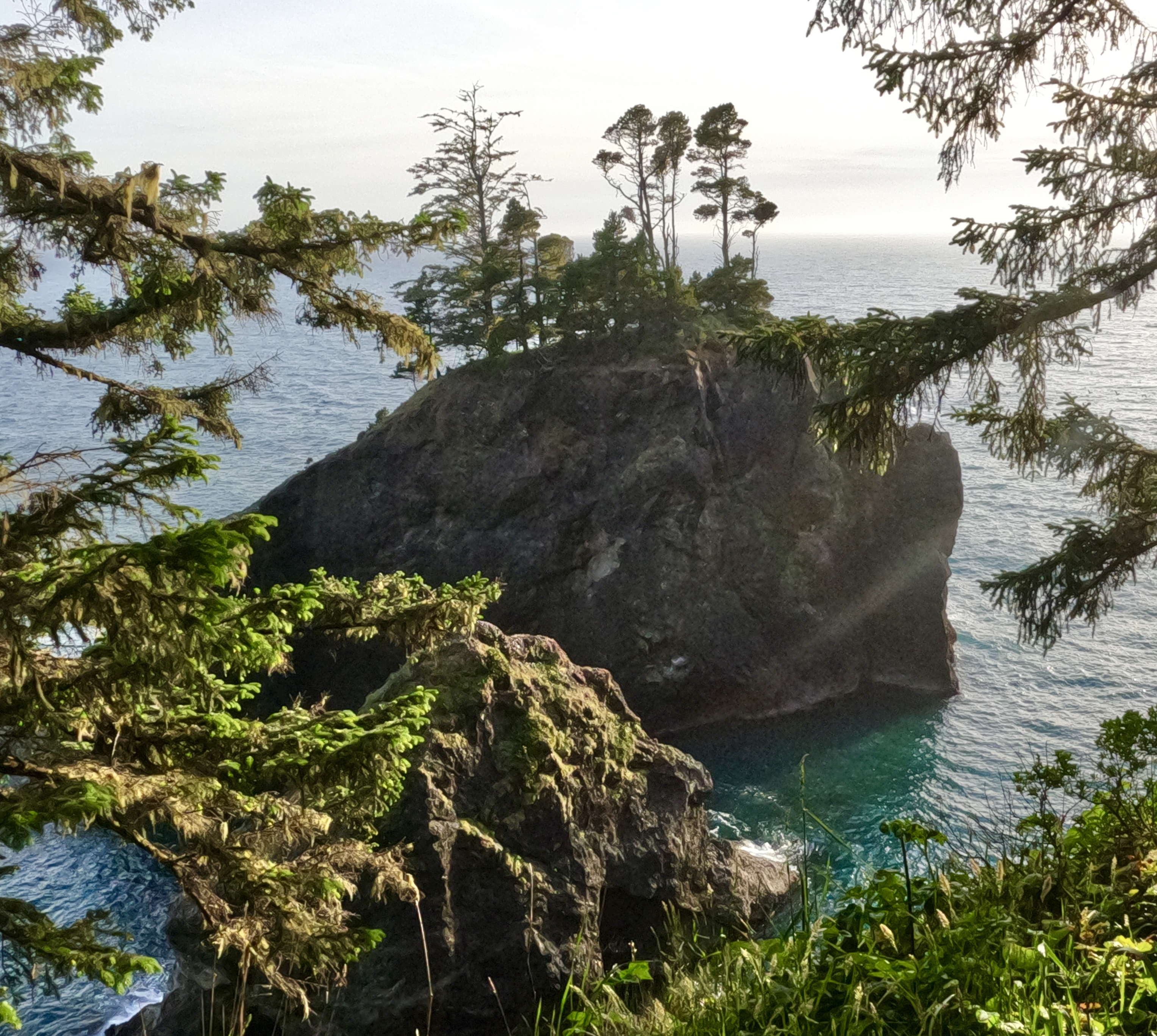
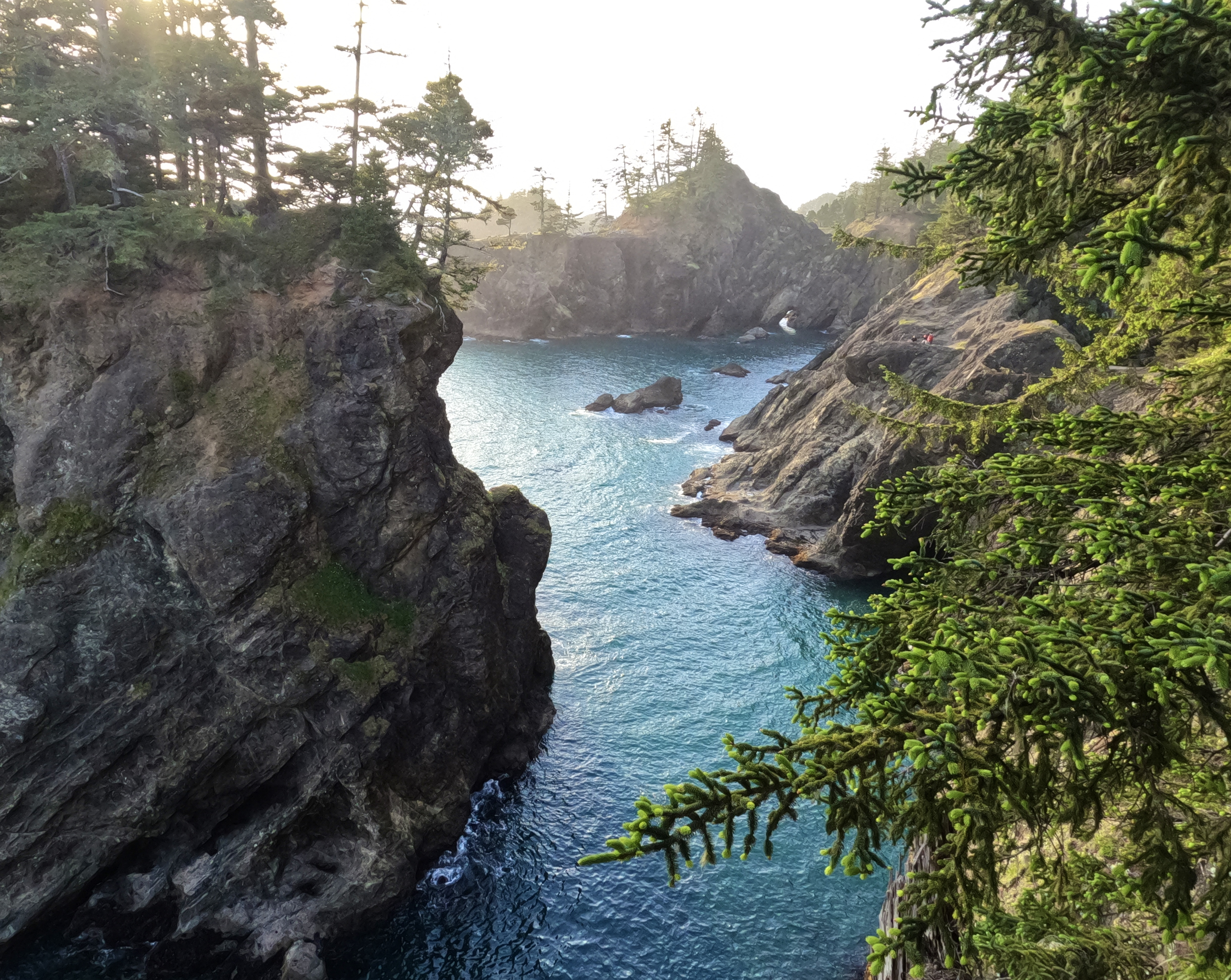
Like the coastal redwoods, the mountain sequoias don’t translate well into photographs. In person they are massive and imposing and majestic, in photos they are just trees.
This is where my pics start to get blurry. Afternoon was turning into evening, and my GoPro doesn’t handle low light well at all.

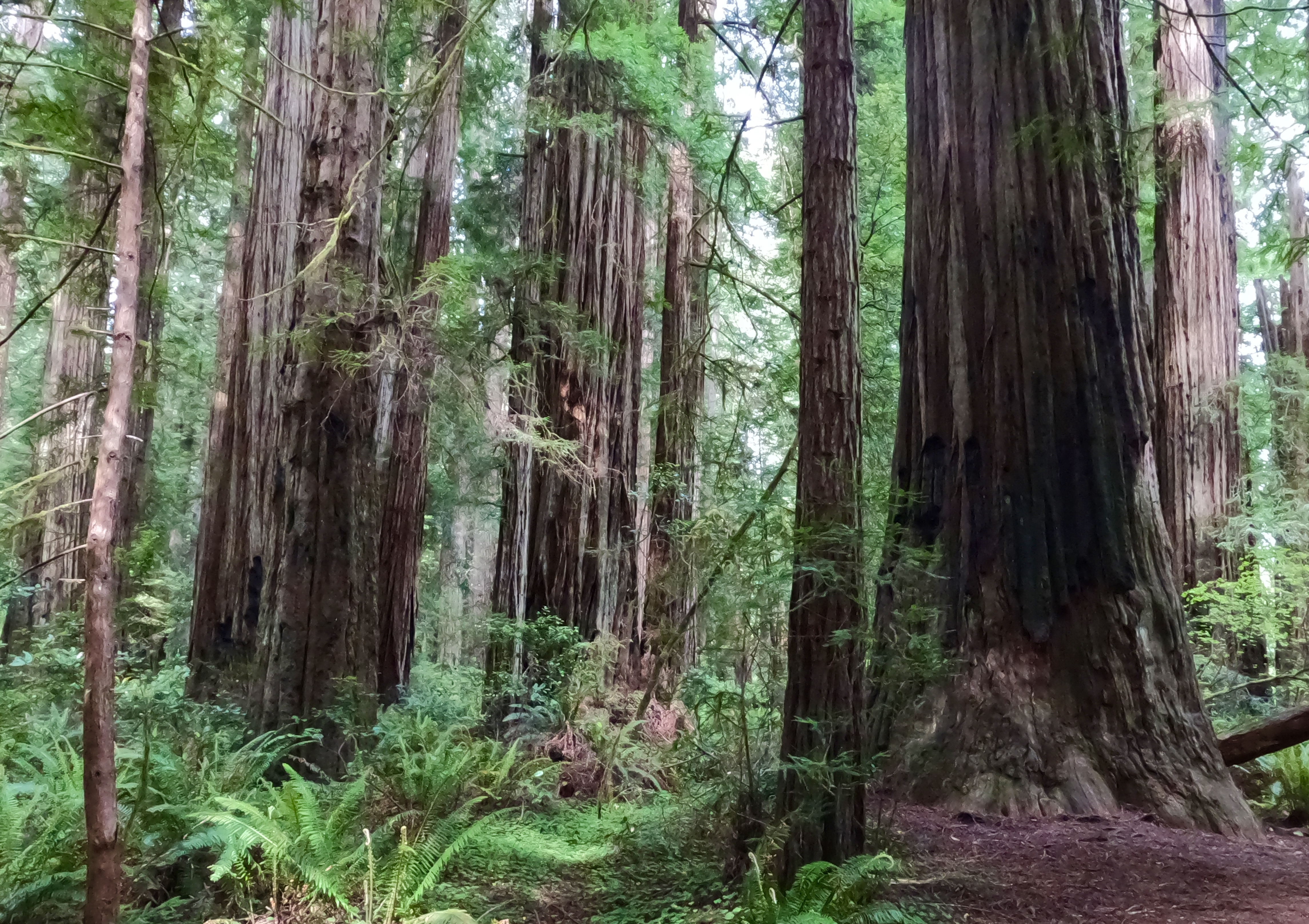
I will say that I like the sequoia forests better than the primeval jungles of coastal redwoods. They just seem friendlier. Maybe it’s because I feel at home in California mountains in general, so the Sierra Nevadas did not make me feel like a stranger in an alien landscape.
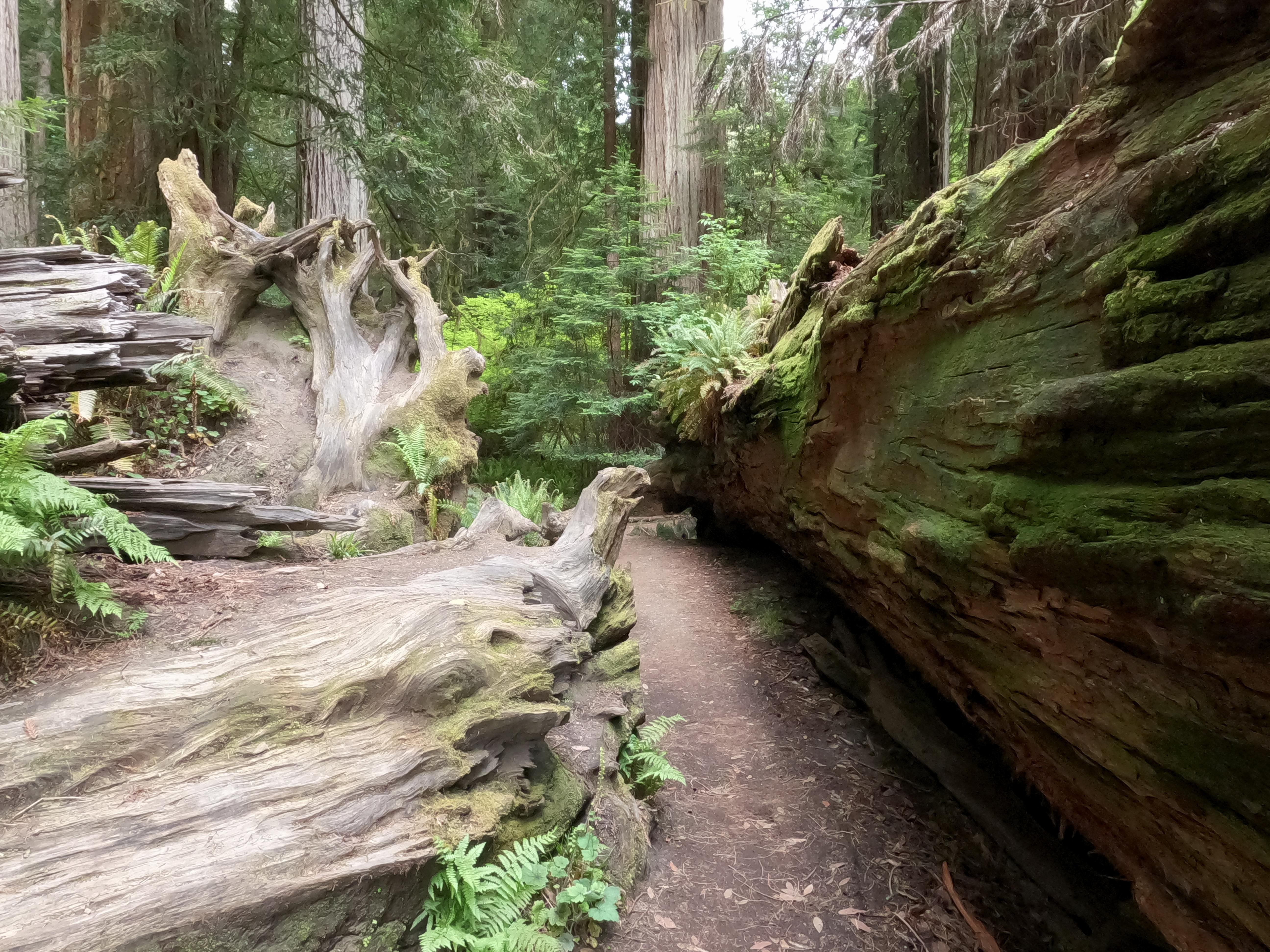
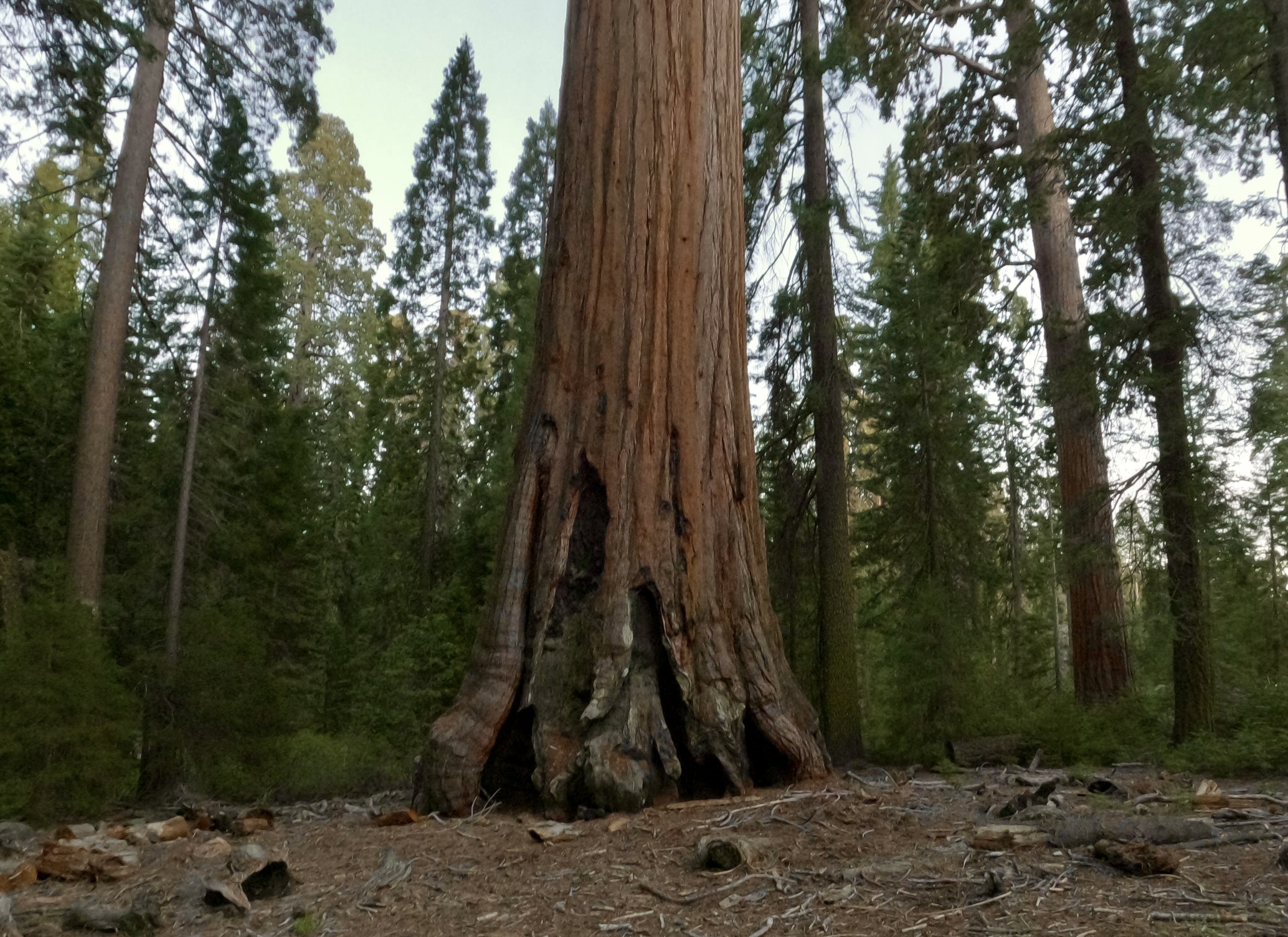
The trees here still show the scars of the big KNP Complex fire that tore through Kings Canyon and Sequoia National Parks last fall, the fire that provided the final motivation for this road trip.
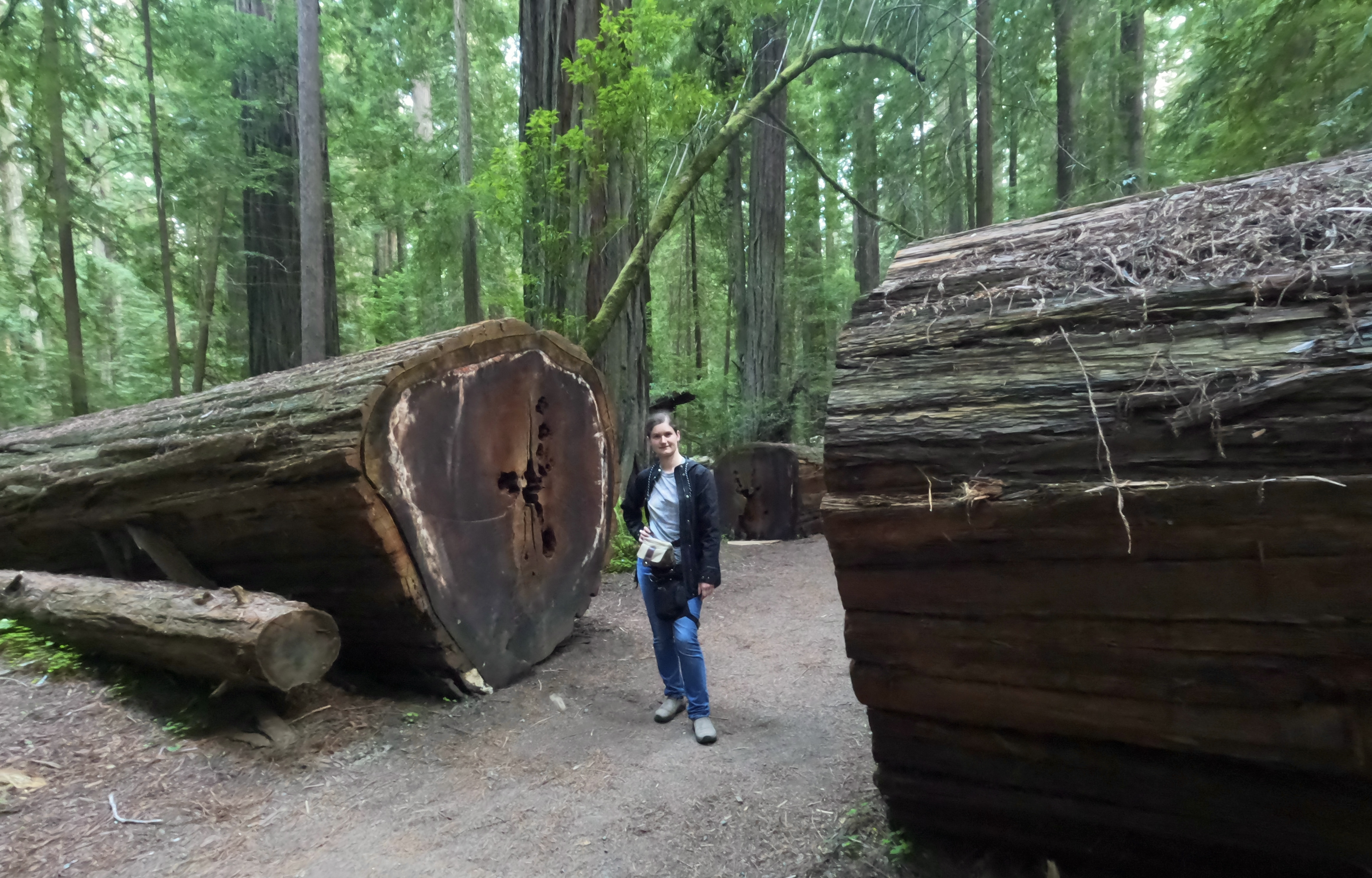
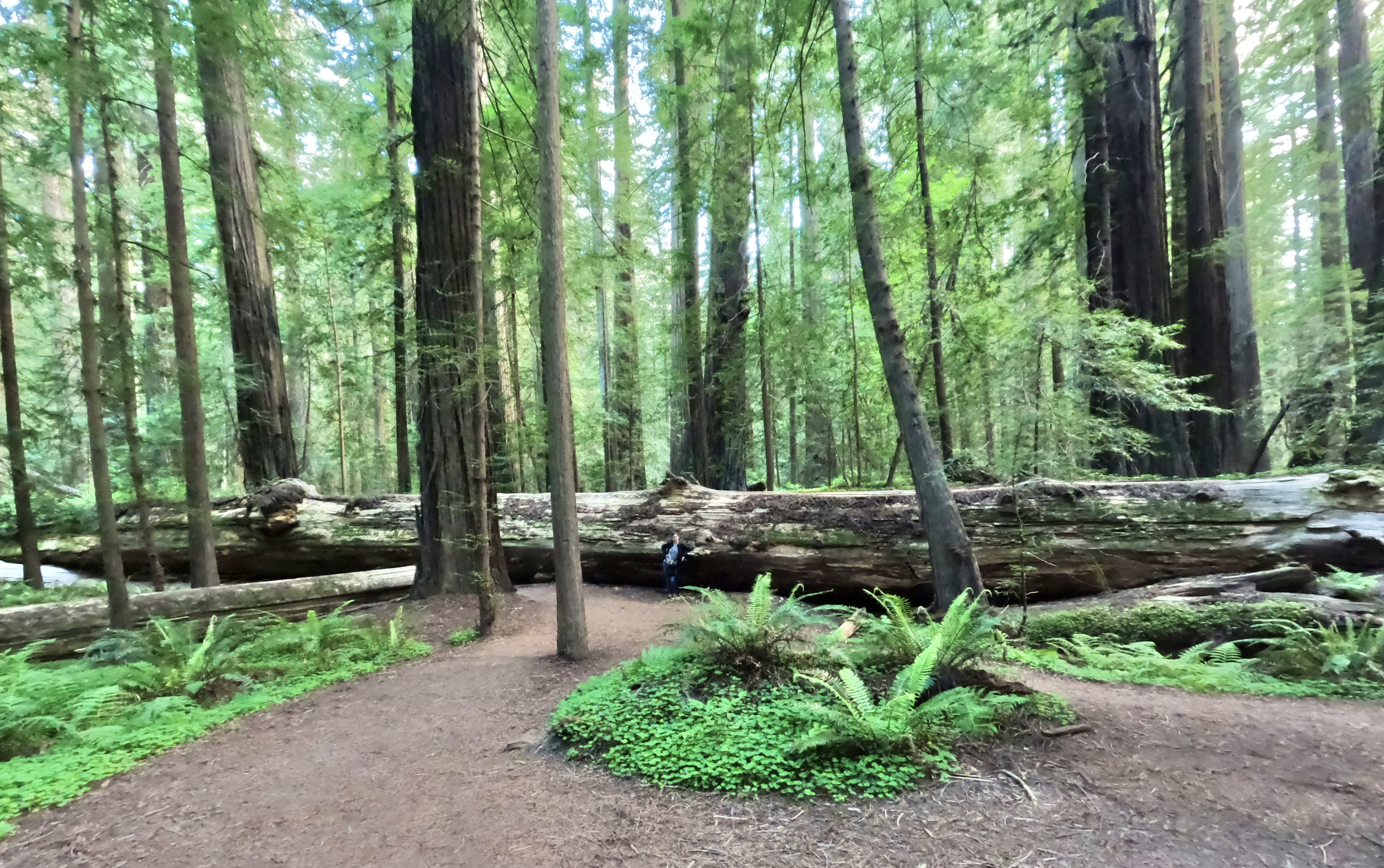
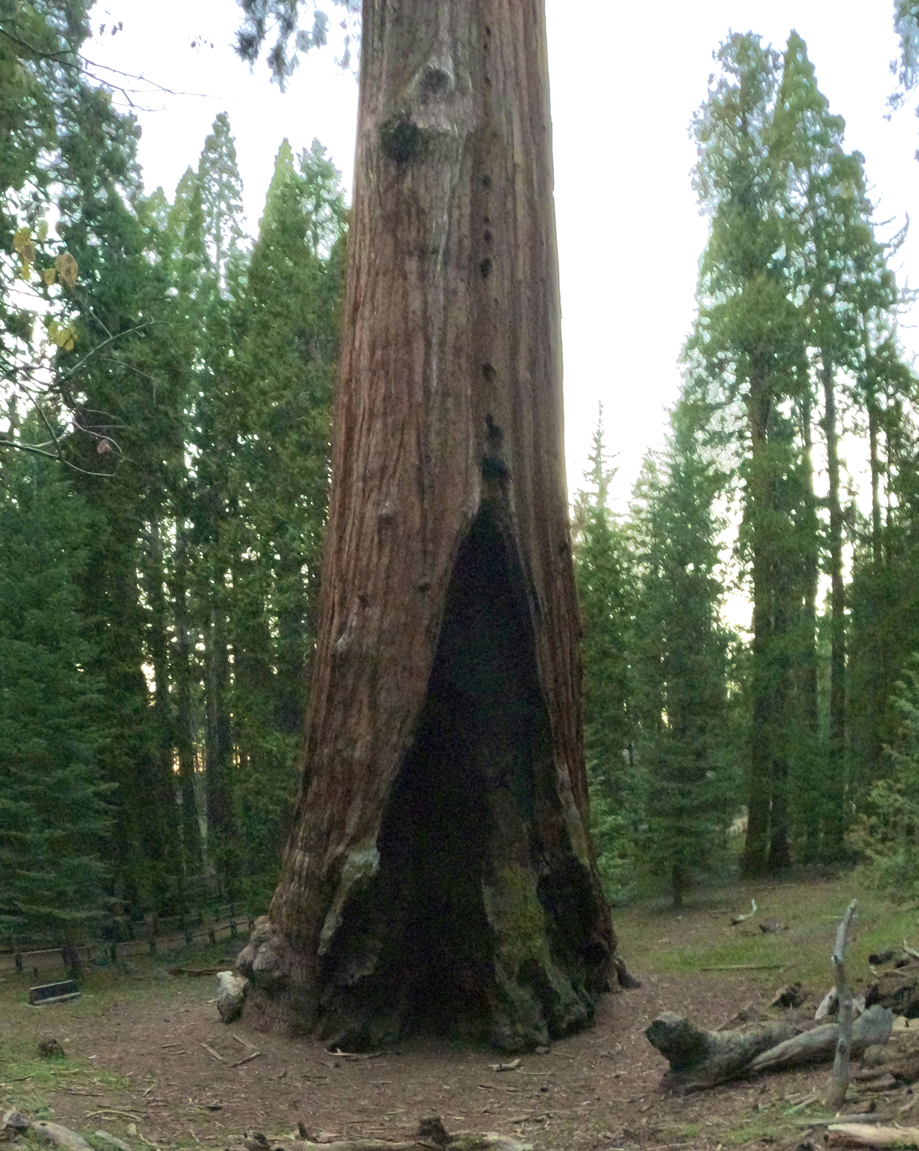
Unlike the coastal forests, the sequoias seem to avoid touching one another at all. They are not as tall as the coastal redwoods, but their thicker bases make them larger by volume. The redwood trunks are straight poles, the sequoia trunks taper as they go up.

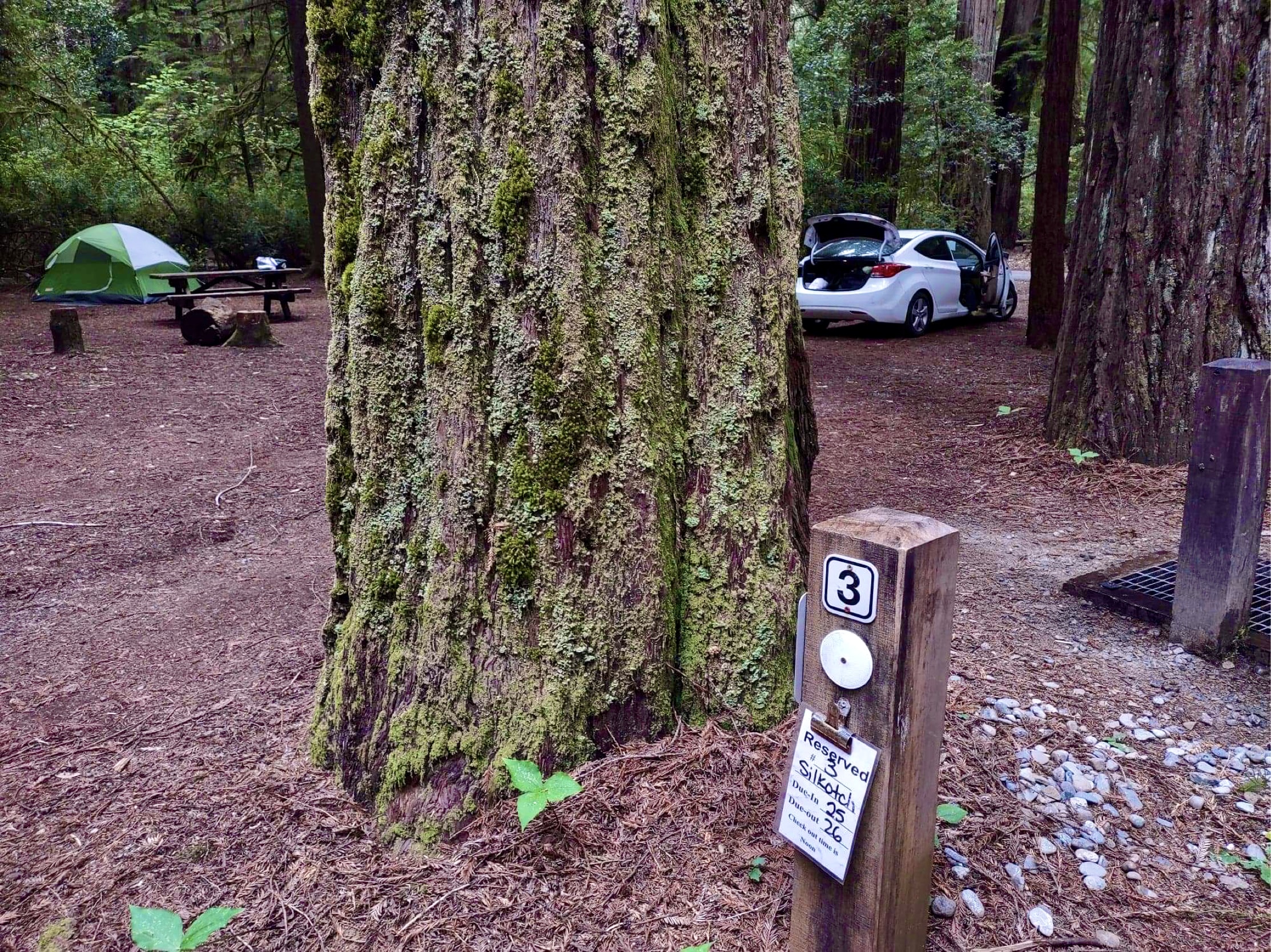
Campsites at Kings Canyon and Sequoia National Parks can’t be reserved more than 30 days in advance, and after that they go fast, especially on a holiday weekend. The campsite I’d been able to get reservations for wasn’t my first, second or third choice, but by the time I’d secured an available site I was just thankful to have found one at all. It’s a bit of a drive to Princess Campground, but the views are nice on the way up.
The campground was more crowded and noisy than we had experienced so far on the trip, but that was to be expected on a holiday weekend. The real surprise came when we left camp the next morning: the park had filled to the brim with people. Cars and crowds everywhere.
Back at the visitor center, which was now open, we secured the first and only park stamp that we managed to get on the entire trip.
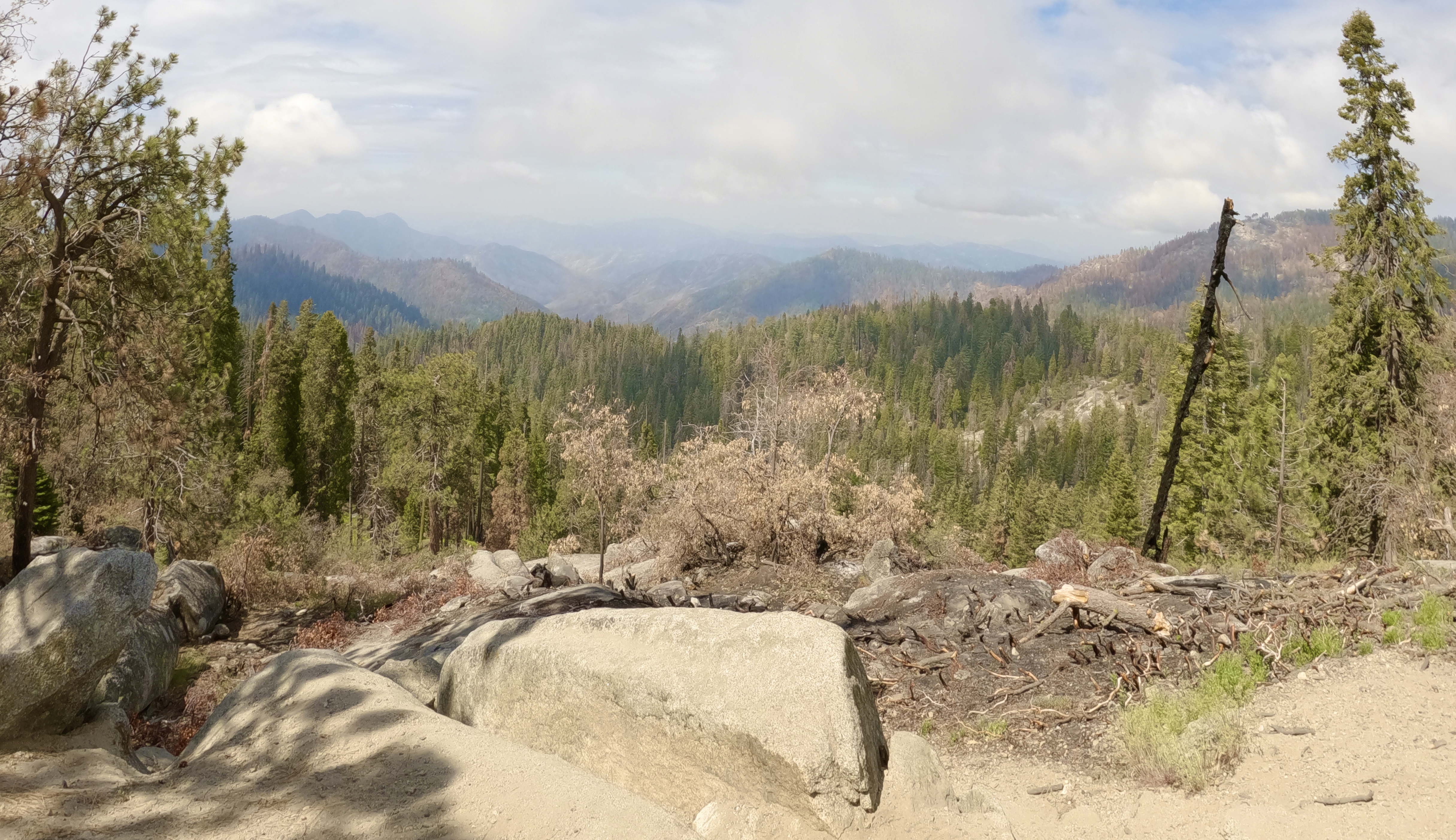
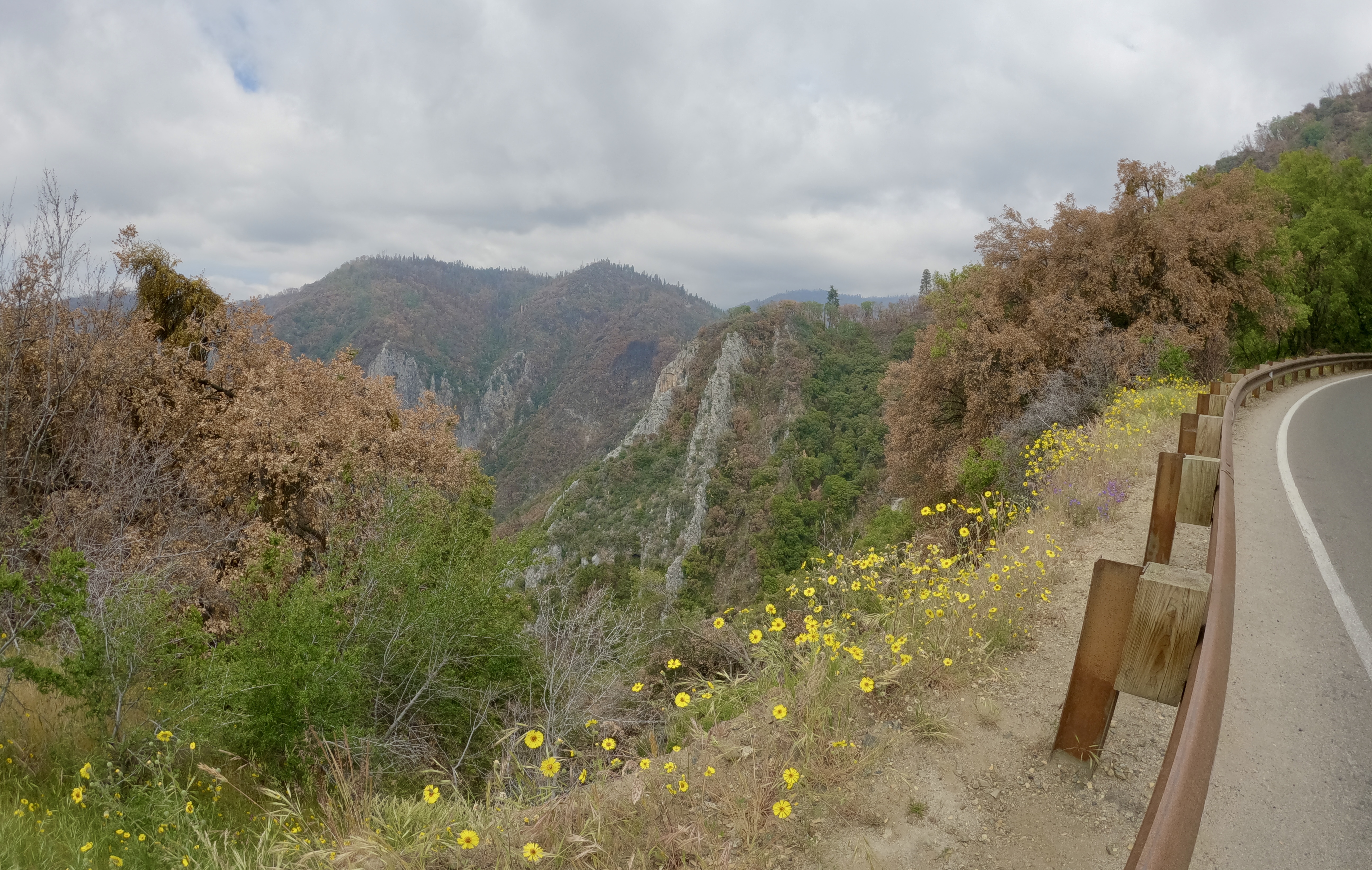
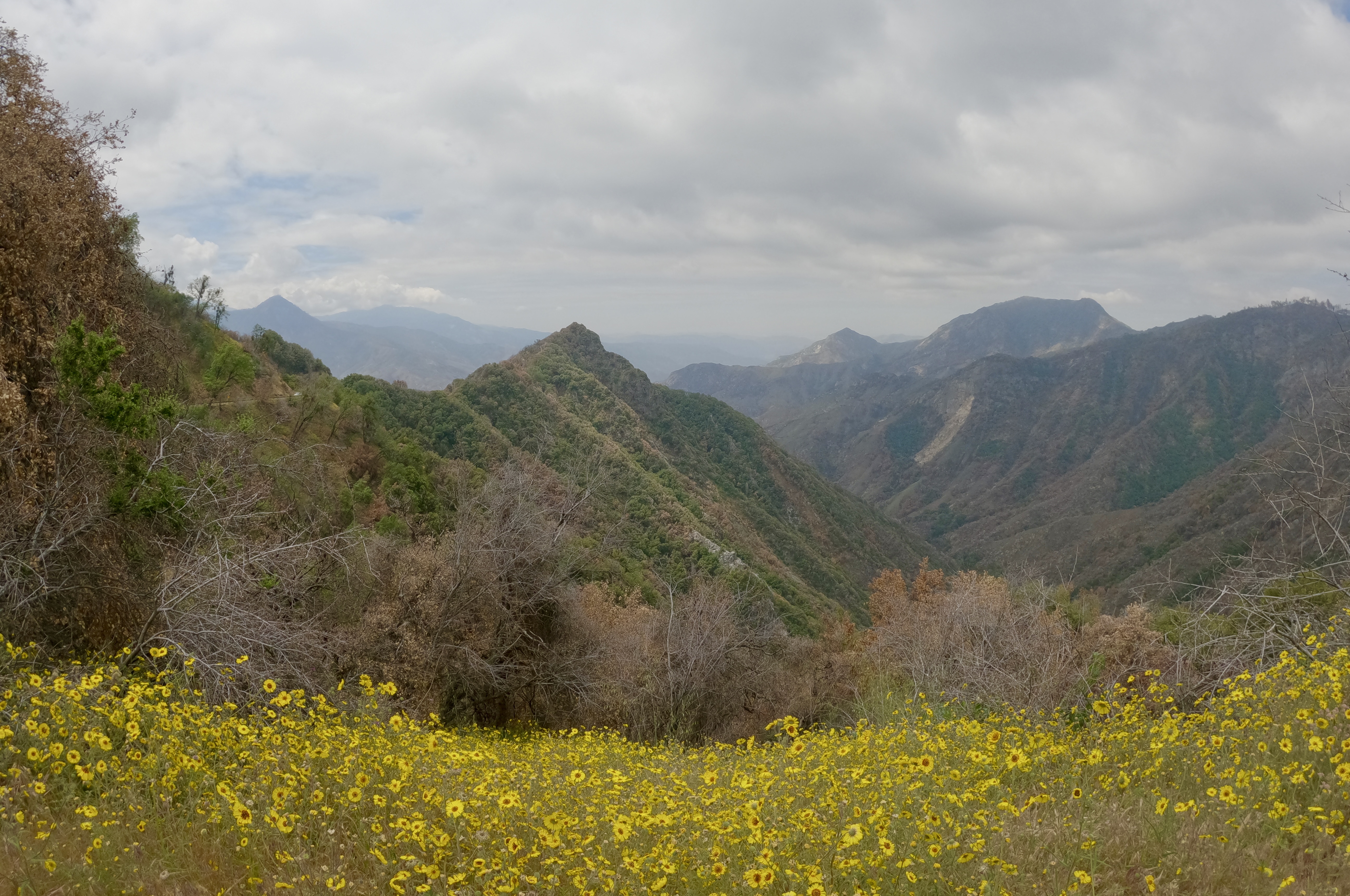
We had a full day’s itinerary planned, and we didn’t get to do any of it. The parks were just too crowded, the lines too long, the parking lots too full. We drove the Generals Highway from Kings Canyon to Sequoia National Park, past vast stretches of burned landscape.
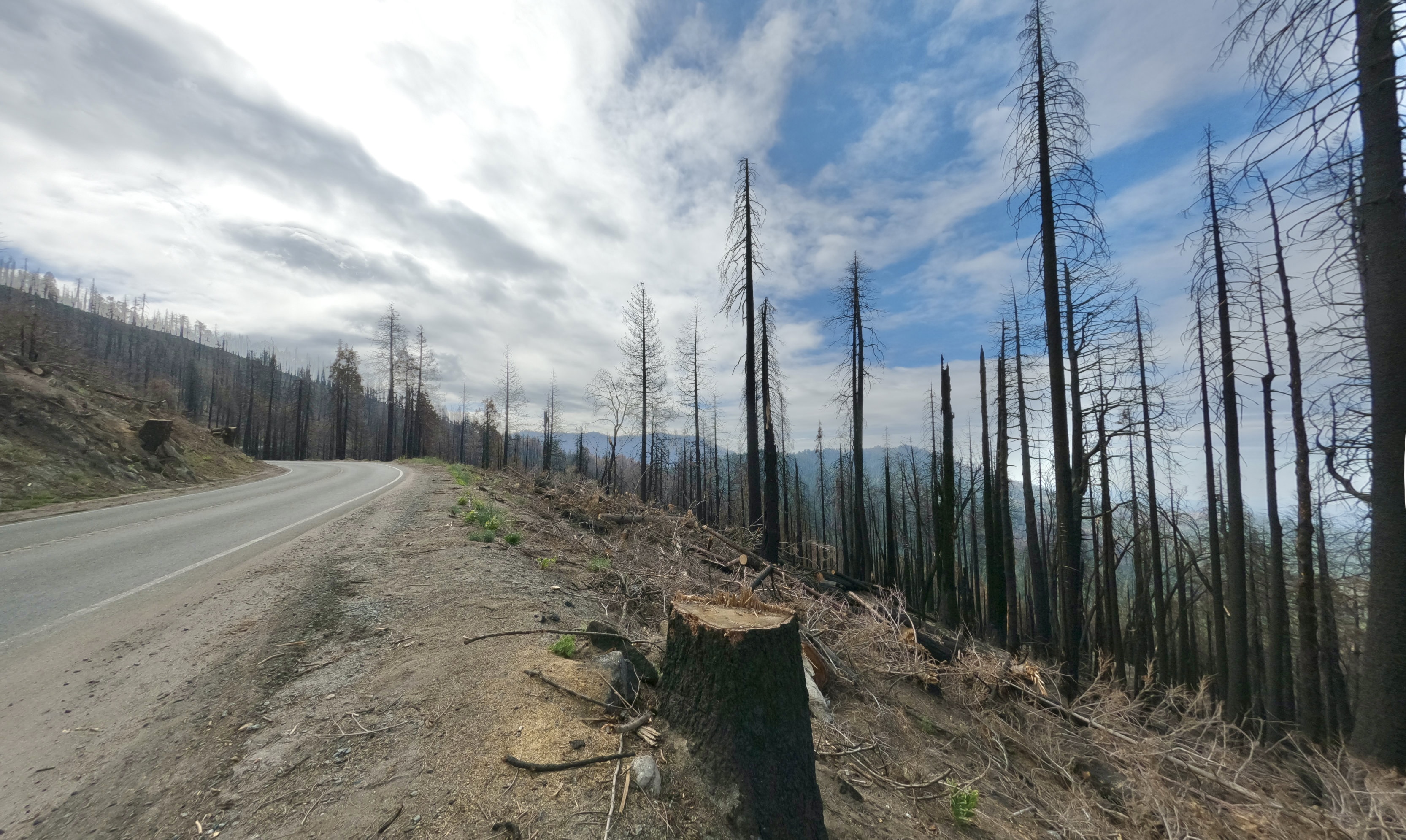
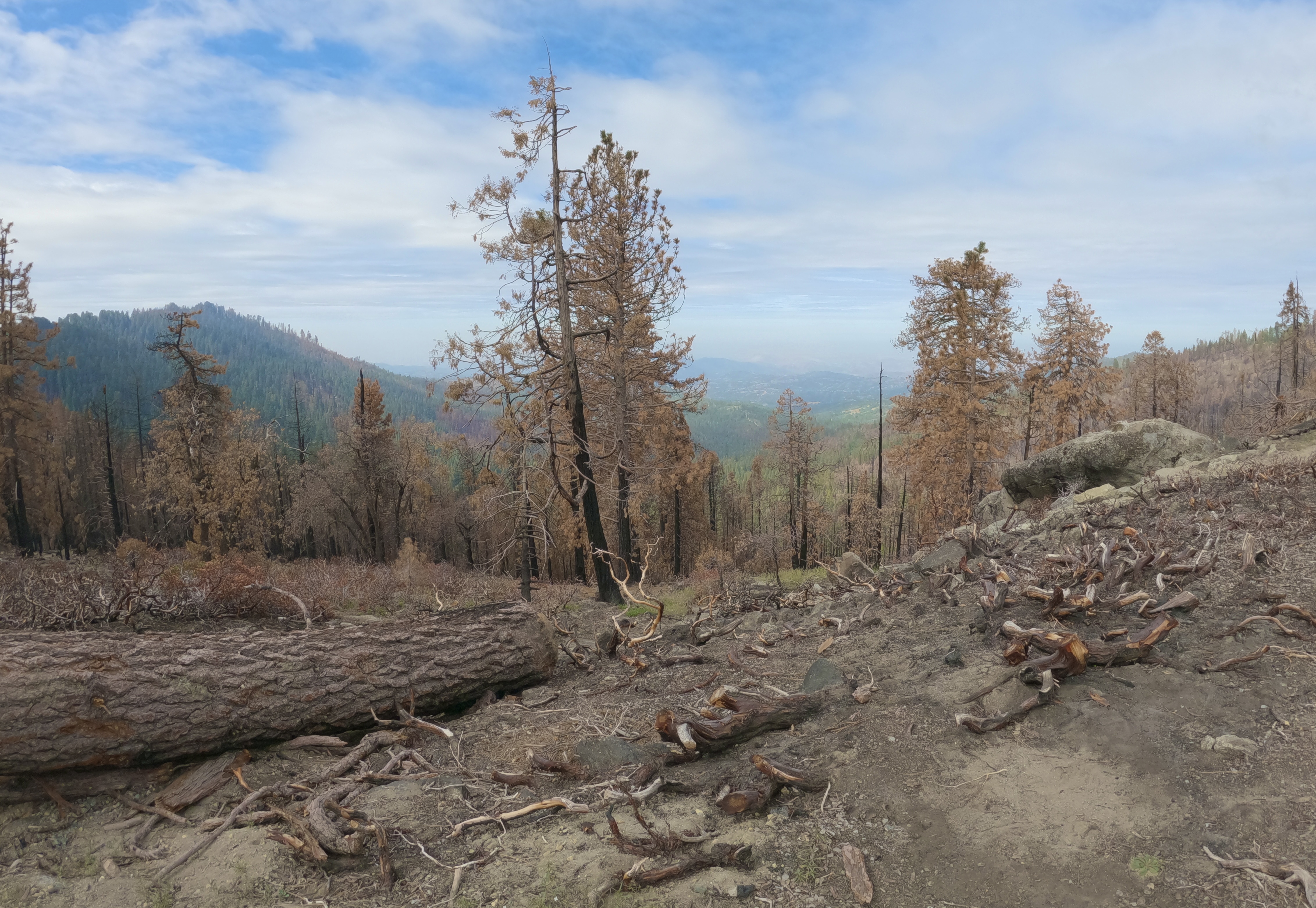
A prescribed burn was smoking in the distance, so I don’t know how much of the damage we saw was from last year’s KNP Complex Fire and how much was controlled burn-off.
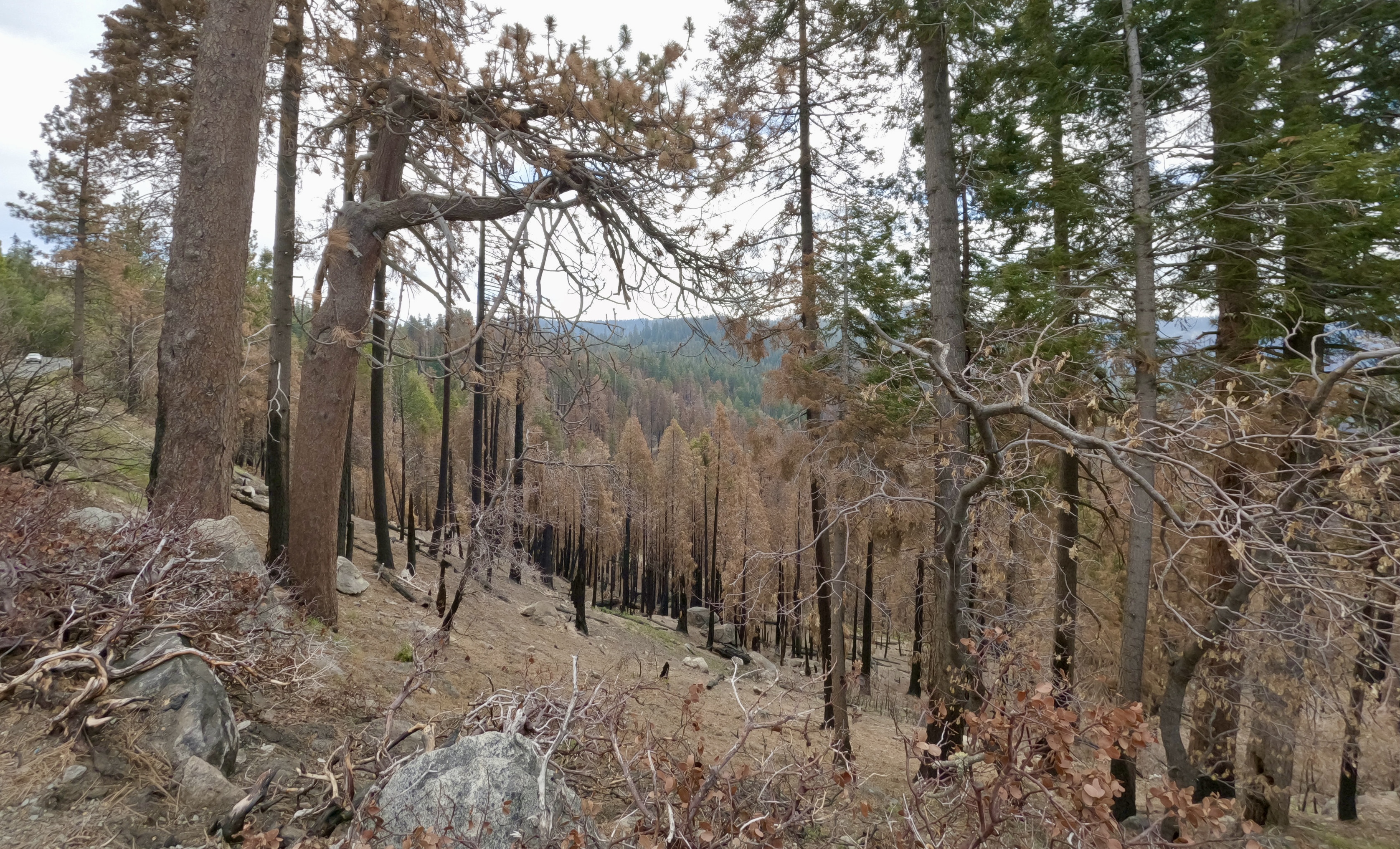
Still a pretty drive. There were places the fire hadn’t touched, and places where the beauty of the mountains shone through the burn scars.


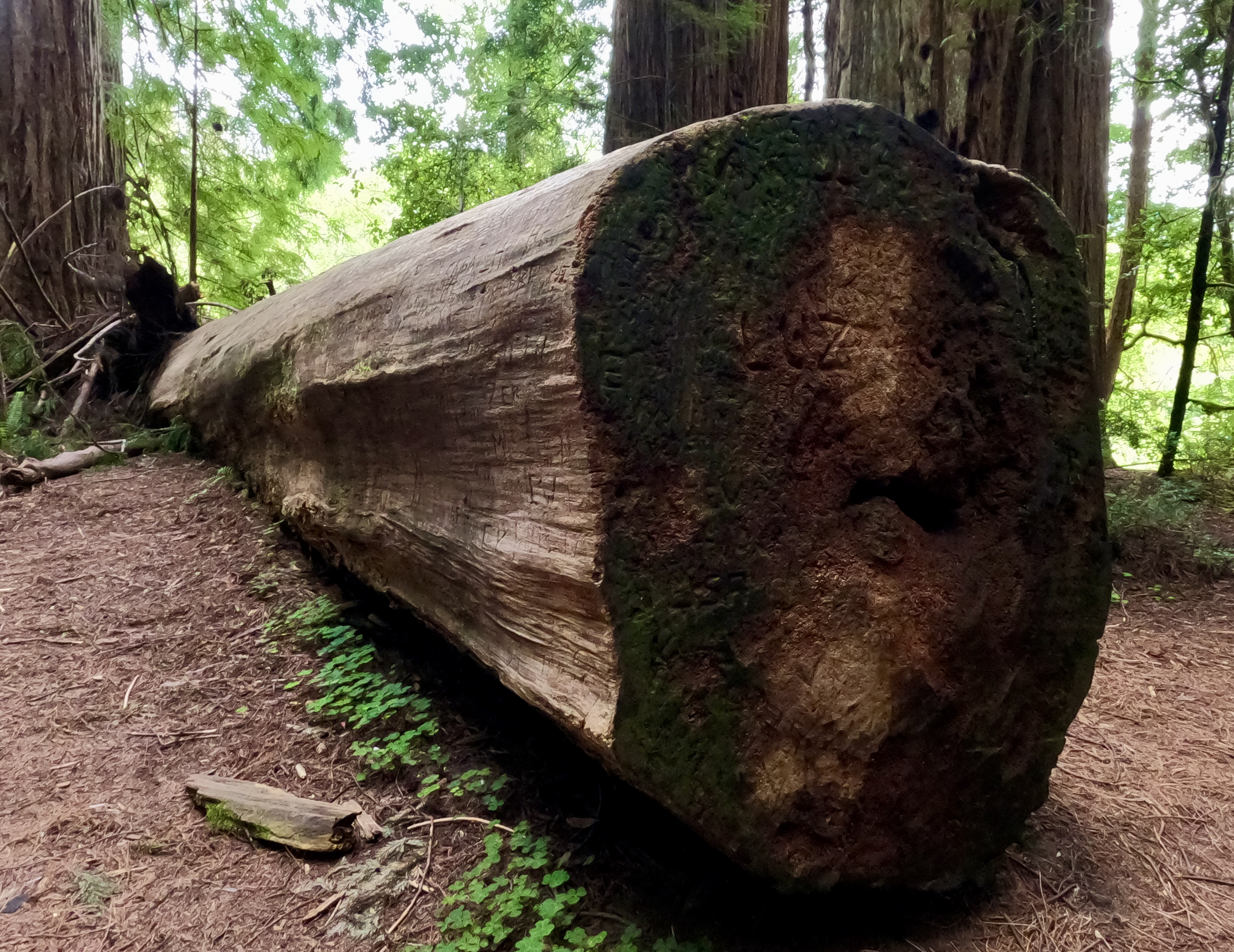
Scorched giant, stranger for scale.

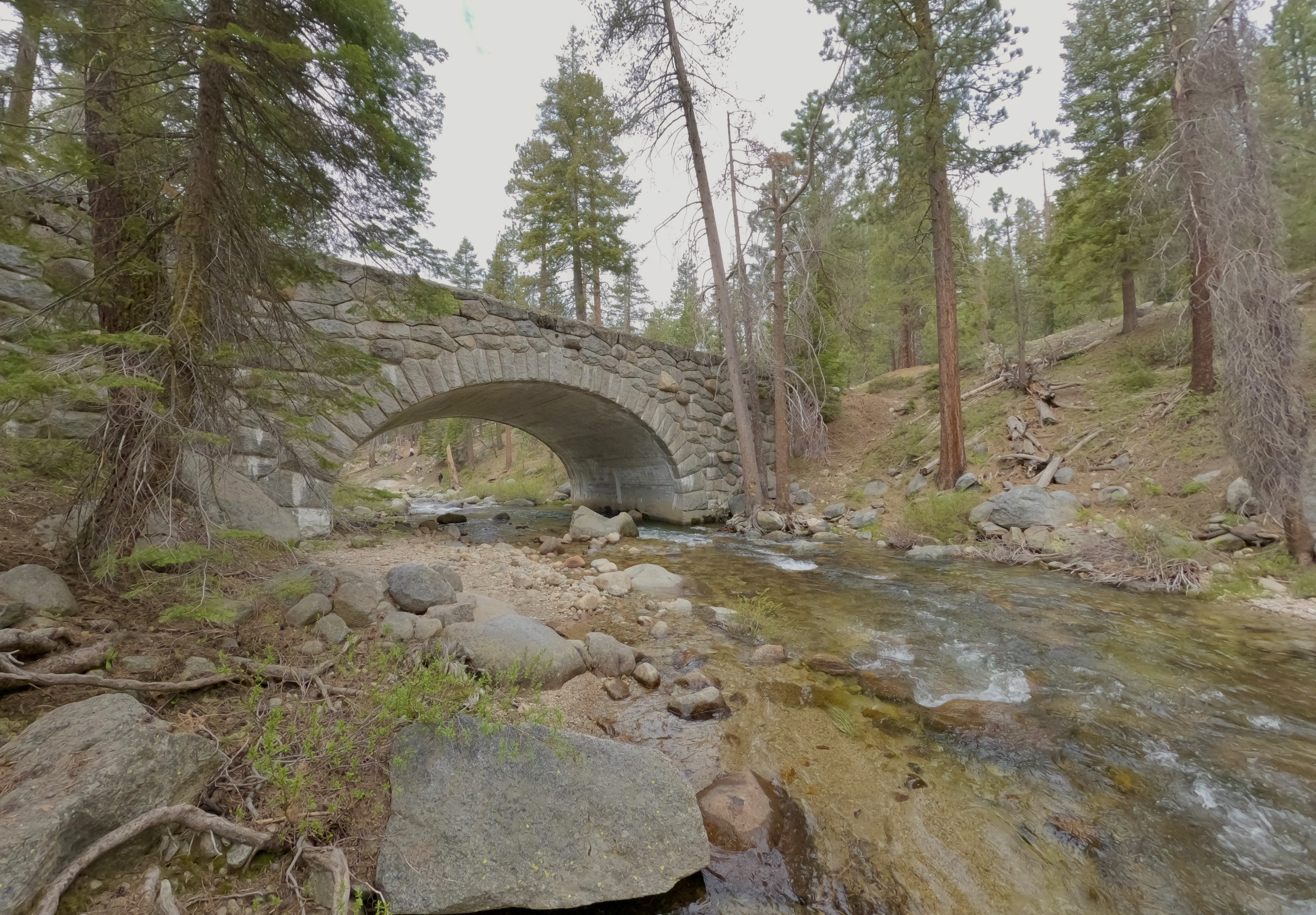
We stopped to splash around in the Marble Fork Kaweah River. This is the river that feeds Tokopah Falls, which we had planned to hike to. We weren’t far from the trailhead at that point, but the crowds and overflowing parking lots were more of a barrier than we wanted to deal with.
So we mostly stayed in our car and enjoyed what views we could see from the highway.
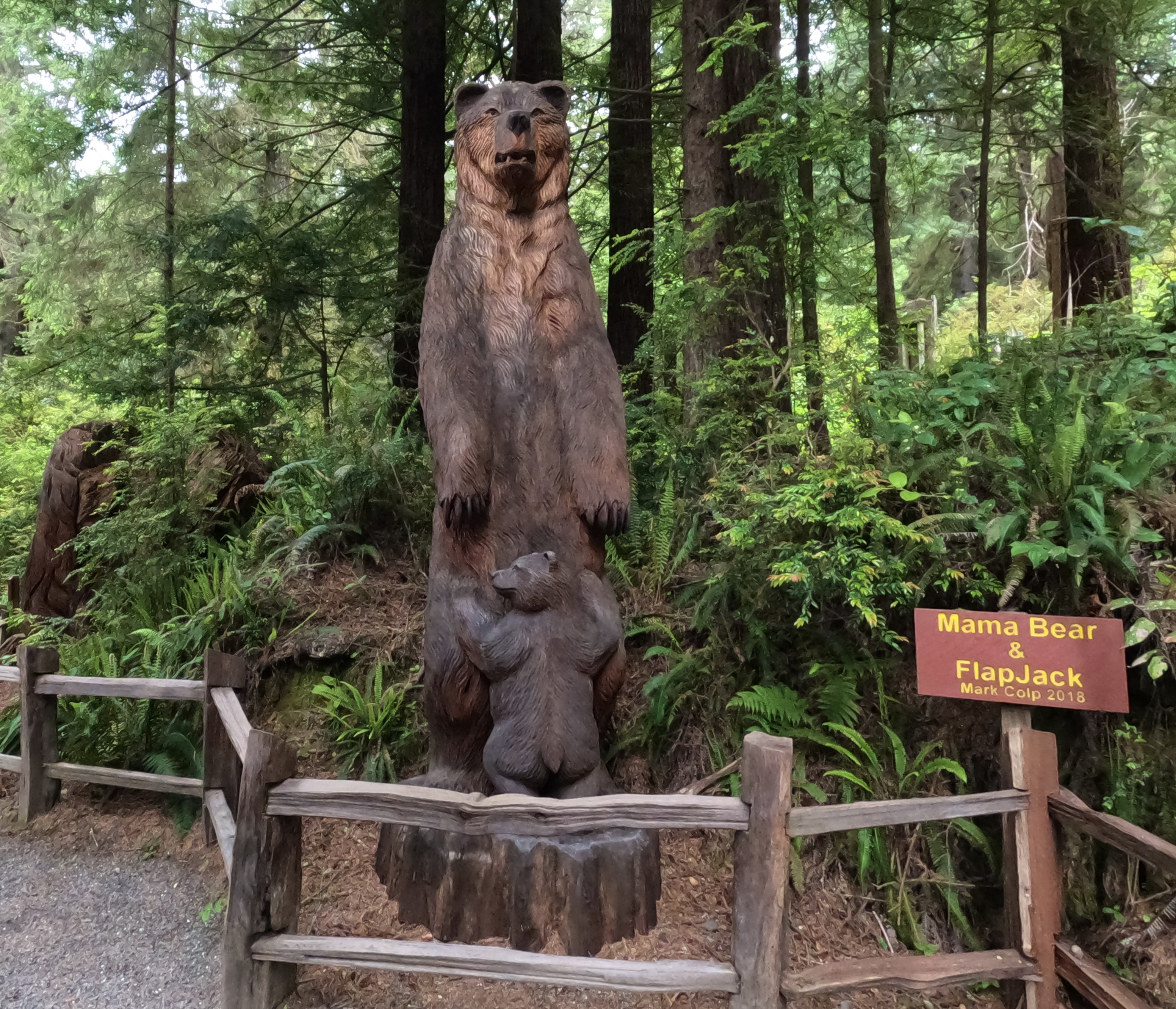
We did stop at a relatively uncrowded picnic area, where we saw our very first bears in the wild.
A mama and her cub, presumably in search of pic-a-nic baskets.

I was willing to brave the throngs to hike the Moro Rock Trail, but we never saw the sign for the trailhead. By the time we realized that we must have passed it, none of us wanted to turned around and go back.
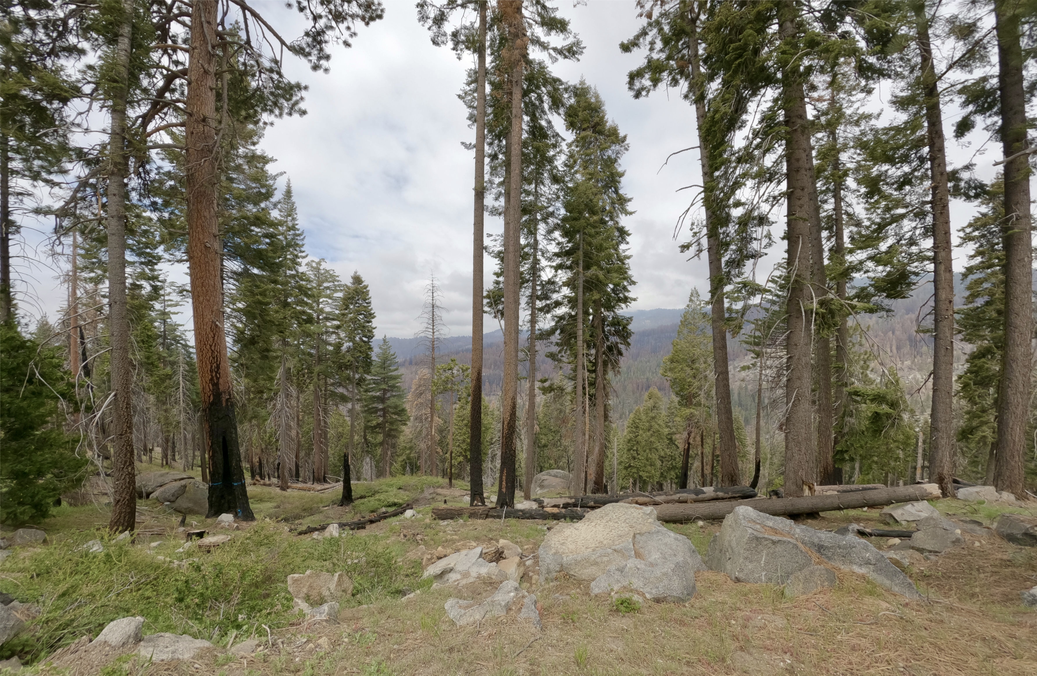
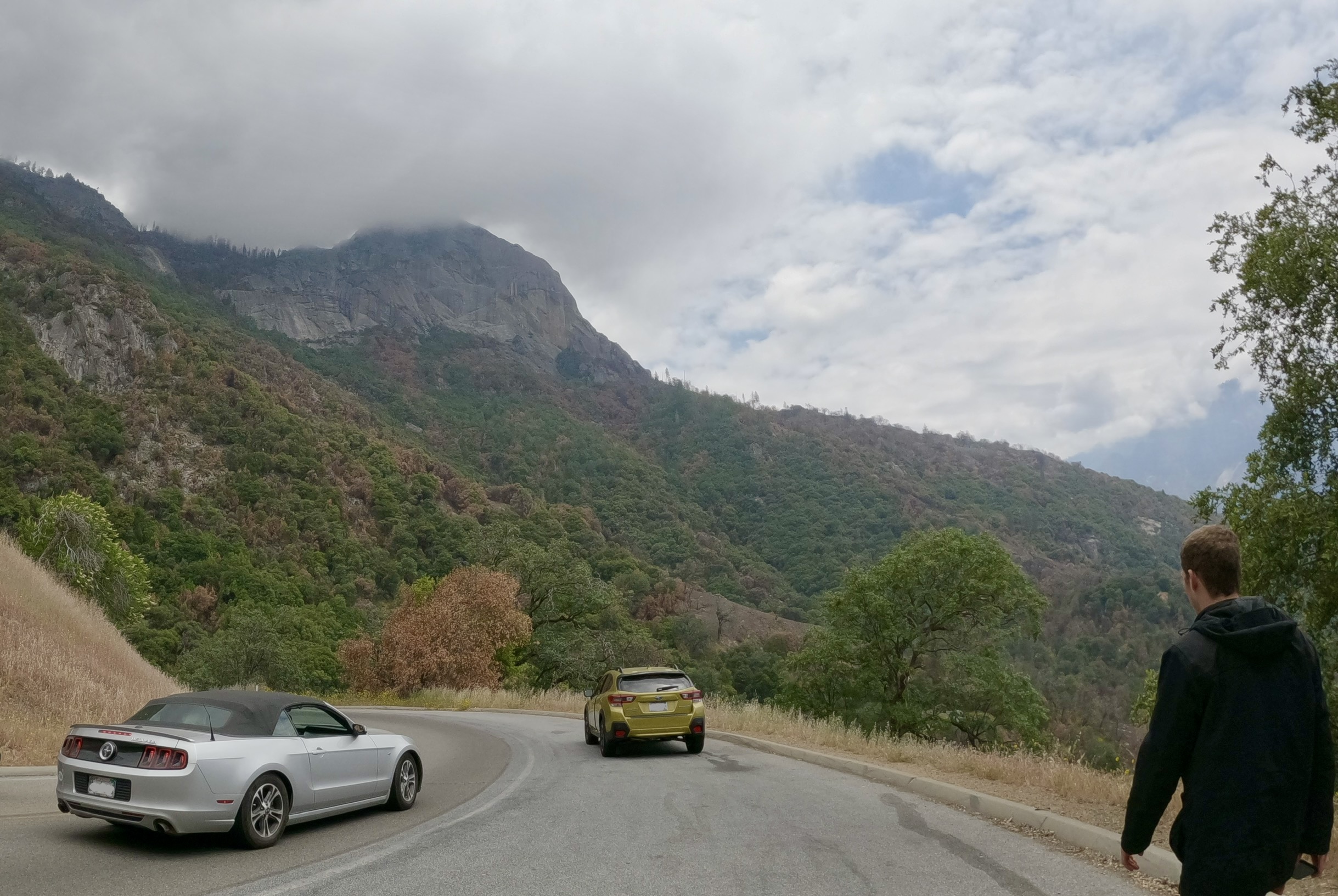
The crowds thinned as we left the big Instagram-worthy attractions behind. We began to have less competition for the mountain view overlooks, so we stopped to enjoy them whenever we came to a turnout.
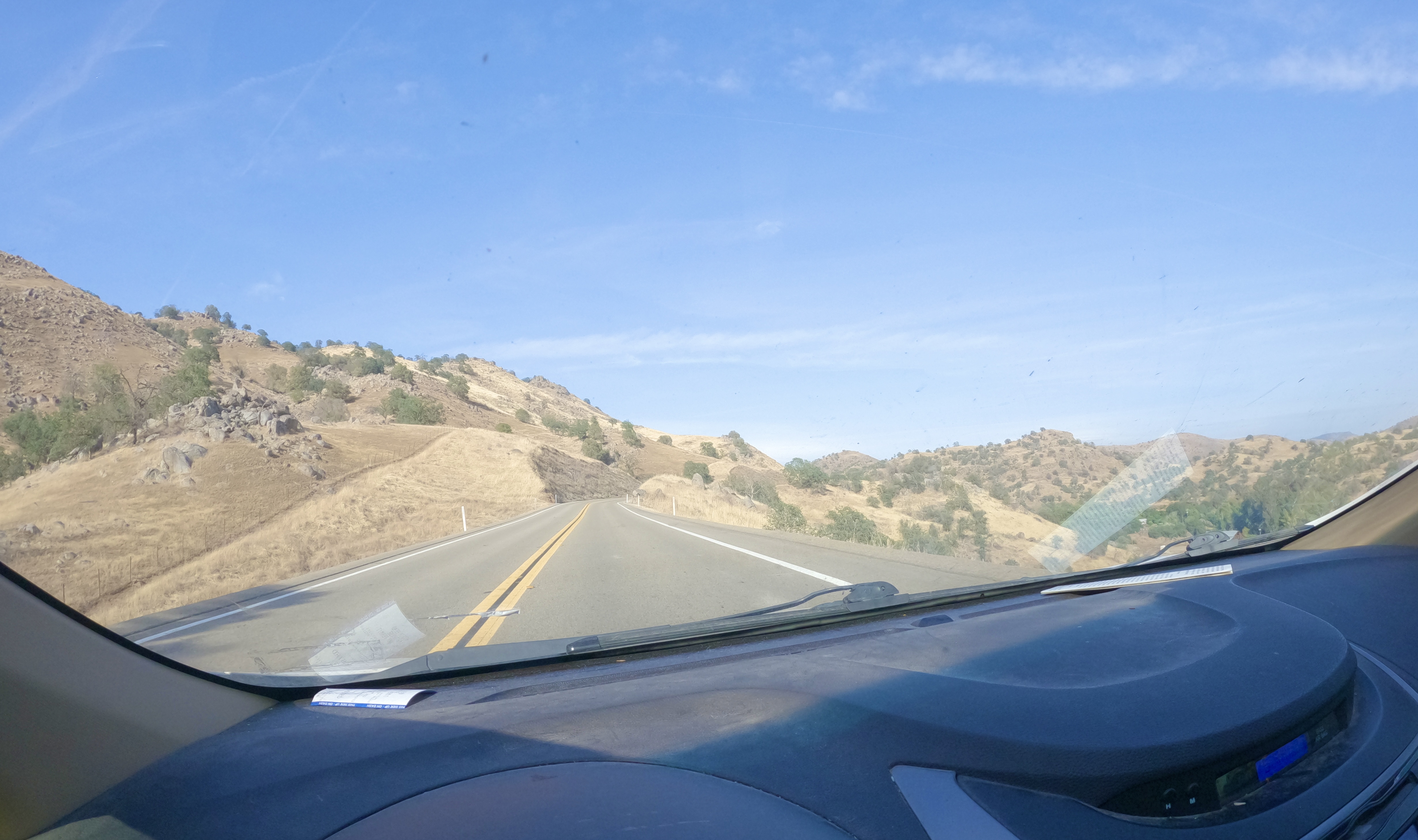
We descended below the Sequoias, and the landscape changed around us through the different elevations.

By the time we got to the lower borders of the park, we were back in the “golden hills” that I associate with California.

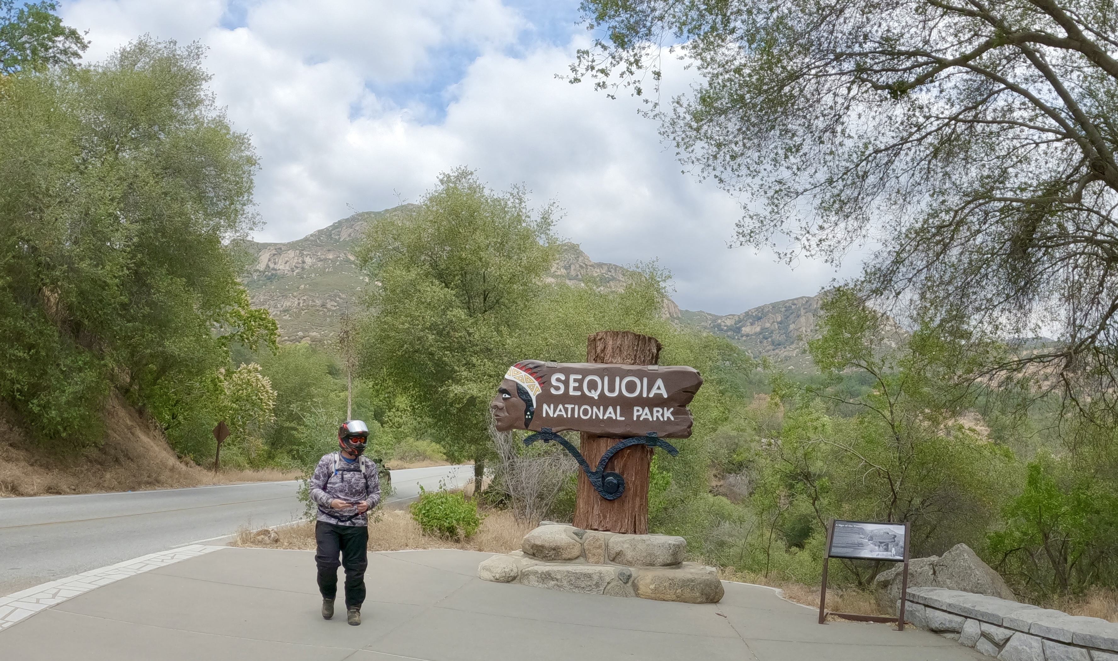
Park sign, stranger for…well, mostly because this was the least crowded pic I managed to get.
We exited the park via the Ash Mountain Entrance, and beginning at the entrance station we drove past a loooooooong line of vehicles trying to get into the park. Miles and miles of cars and trucks lined up down the road.
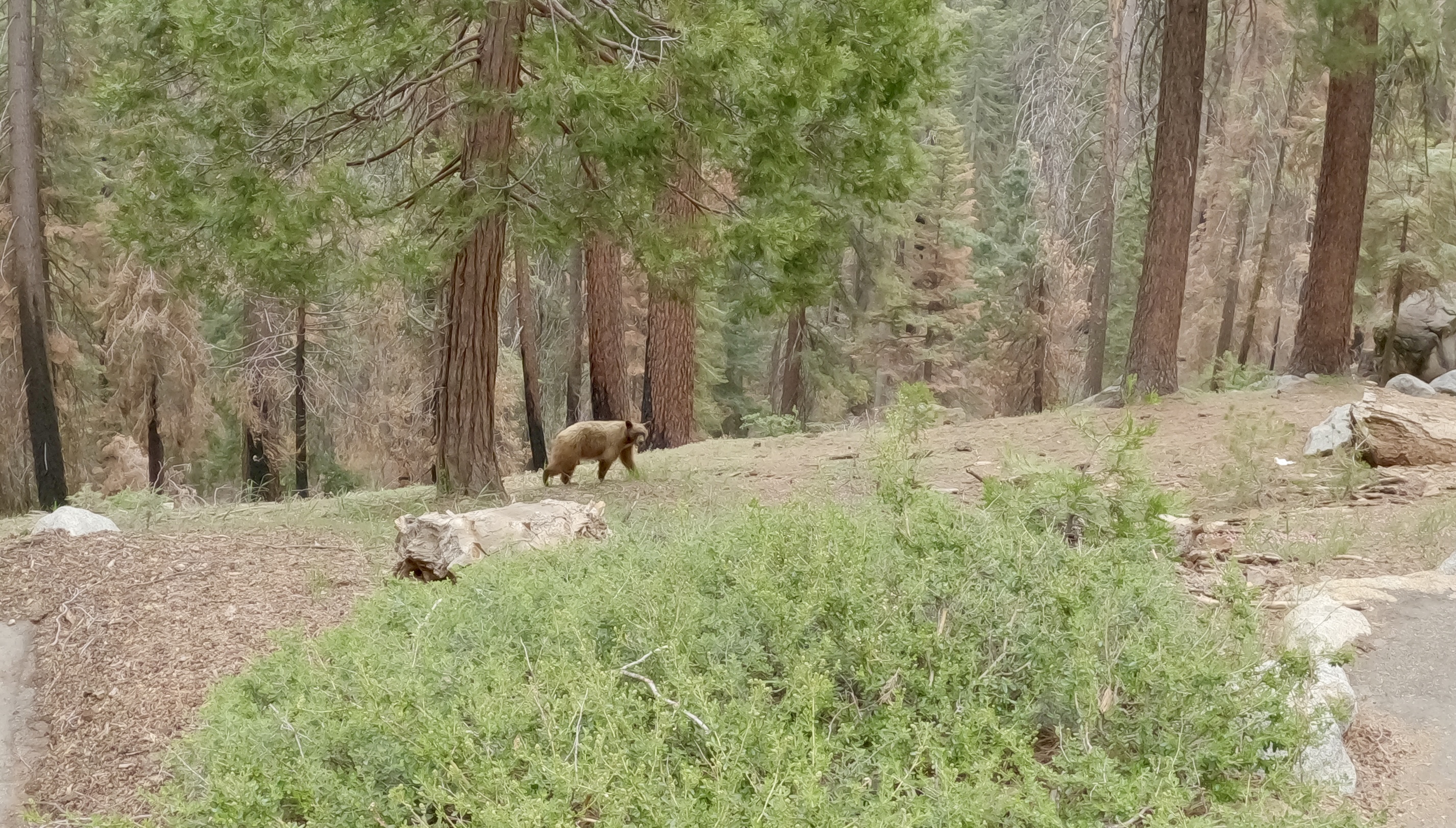
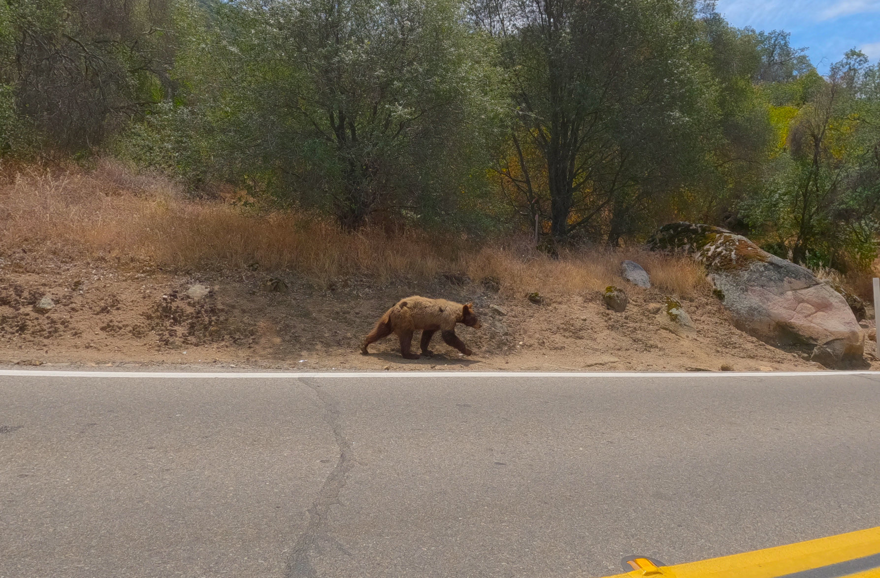
We saw another young bear, this one trying to get across the road and completely stressed out by all the vehicles.

Poor little guy.
So we didn’t get to see the mighty General Sherman tree or do the other things we had planned in those parks, but we did get to marvel at some really big Sequoias, appreciate the majesty of the Sierra Nevadas and finally see some bears in the wild. We were satisfied.
More to come!