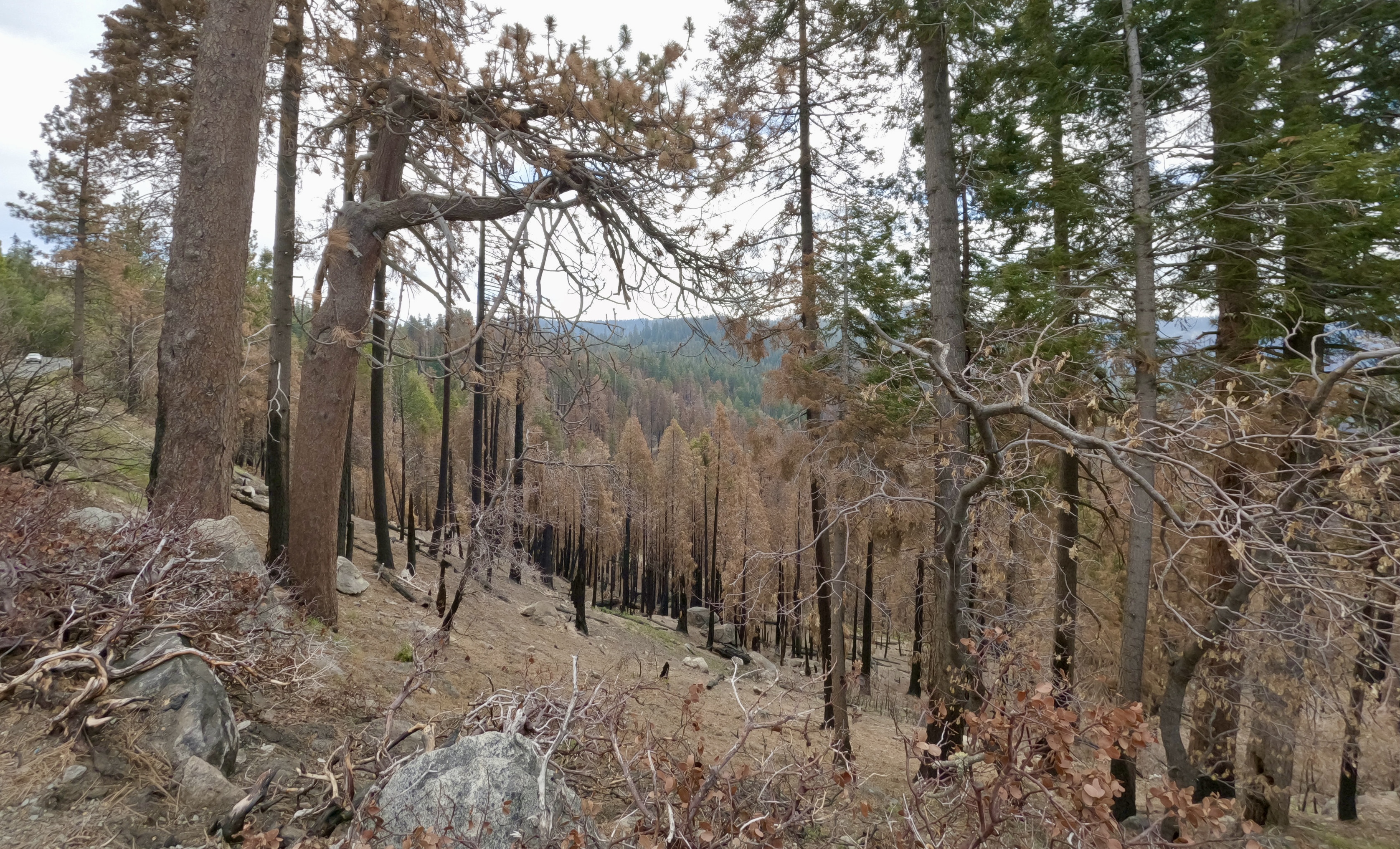
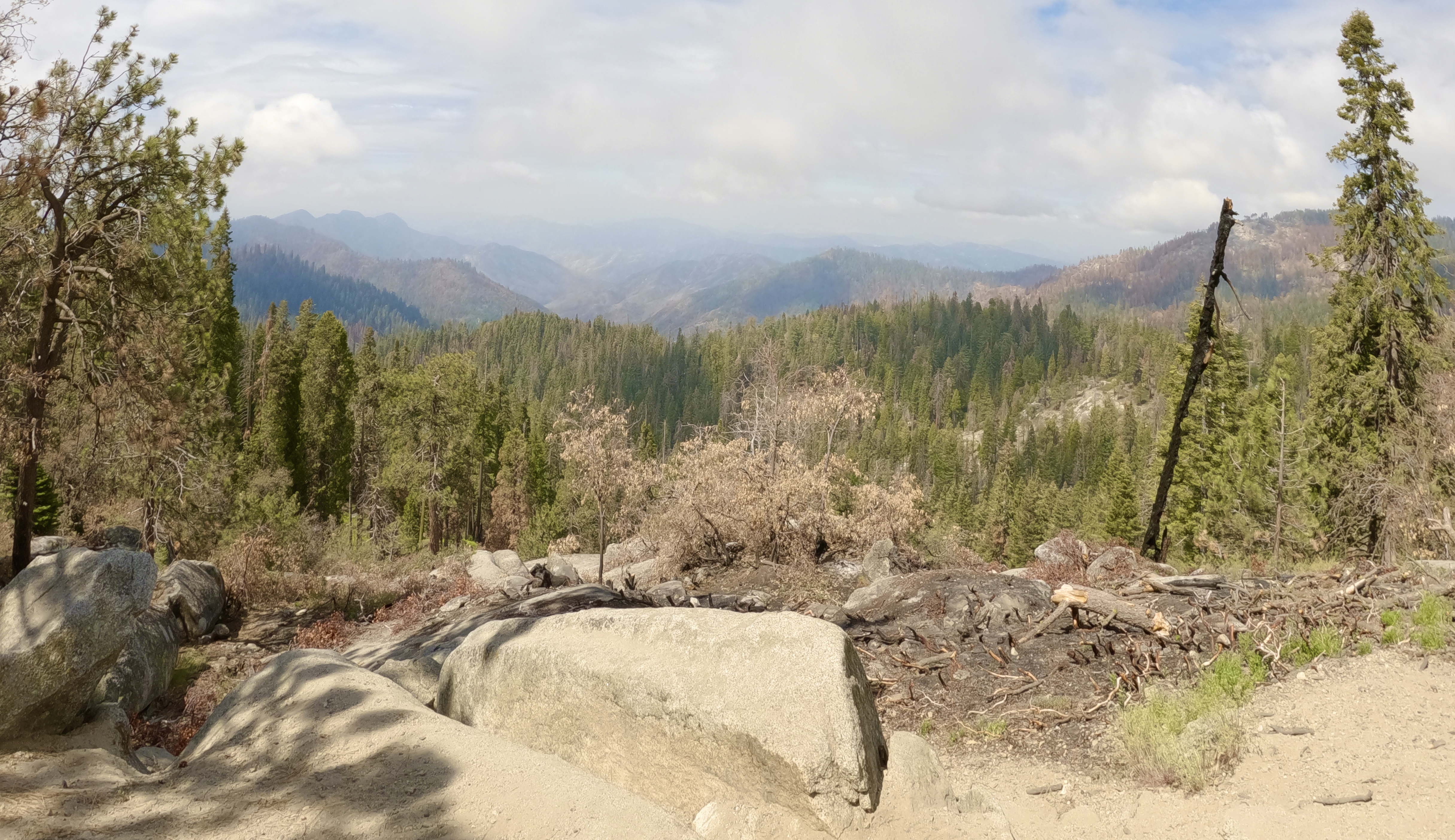
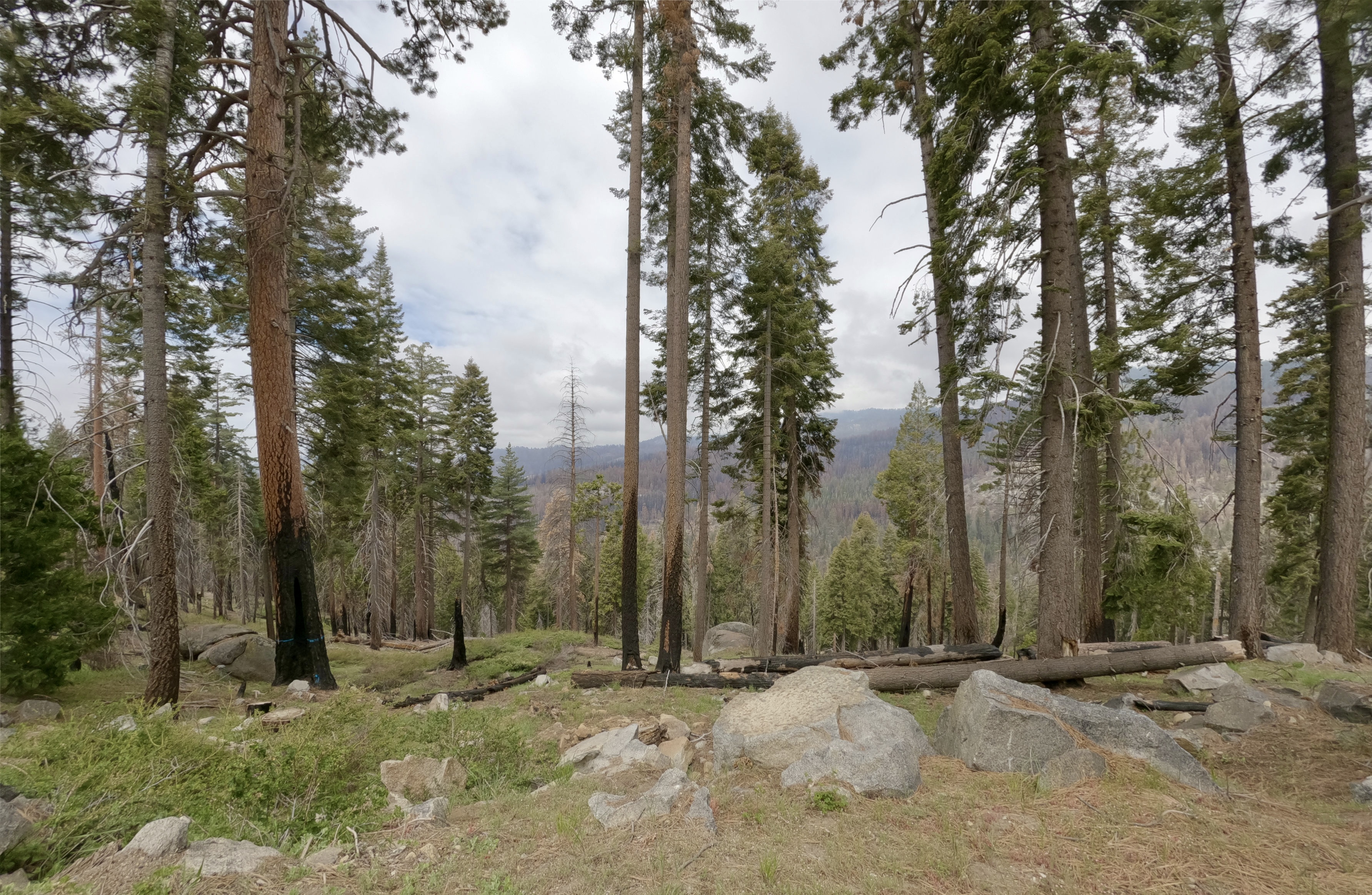
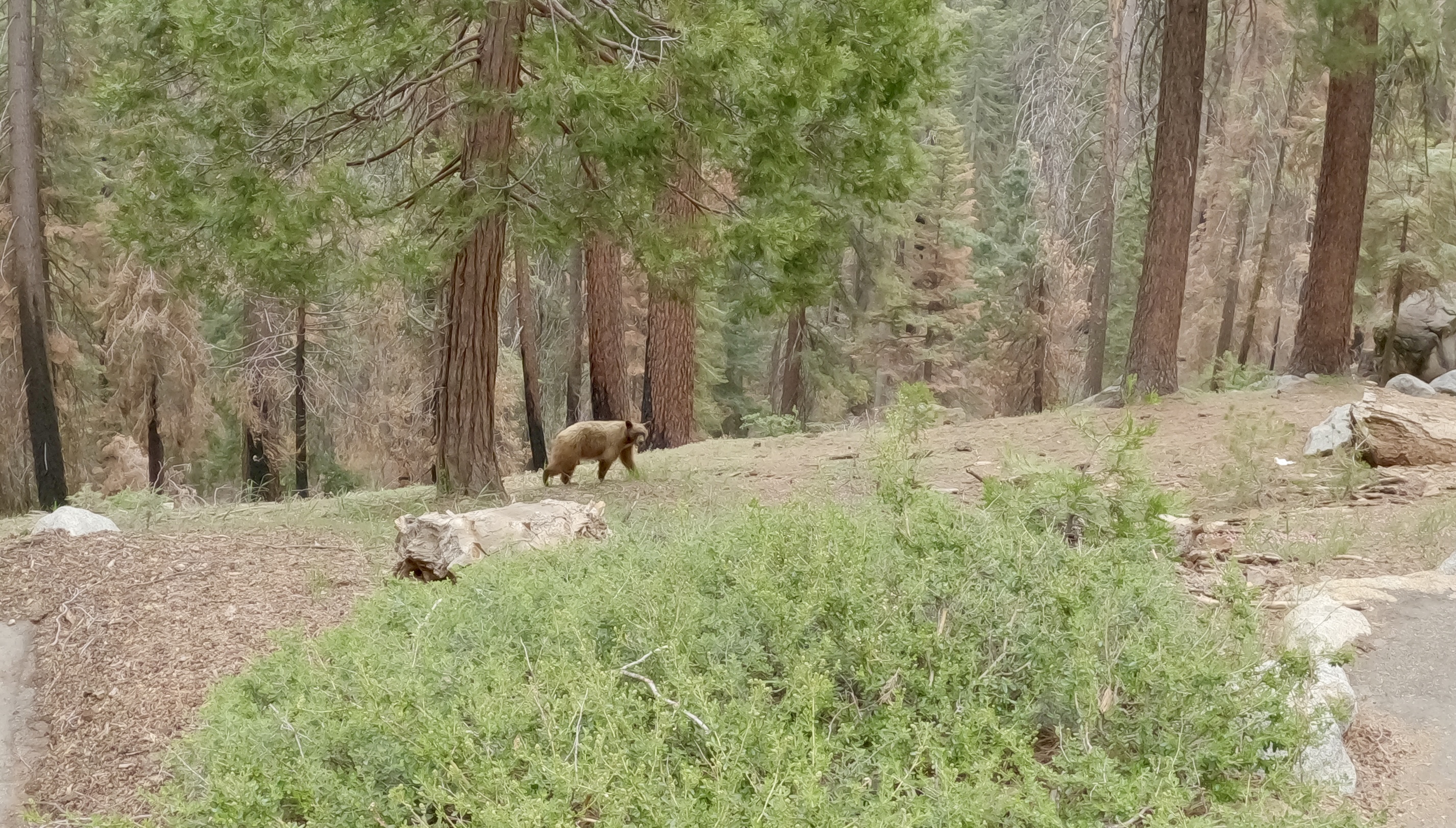
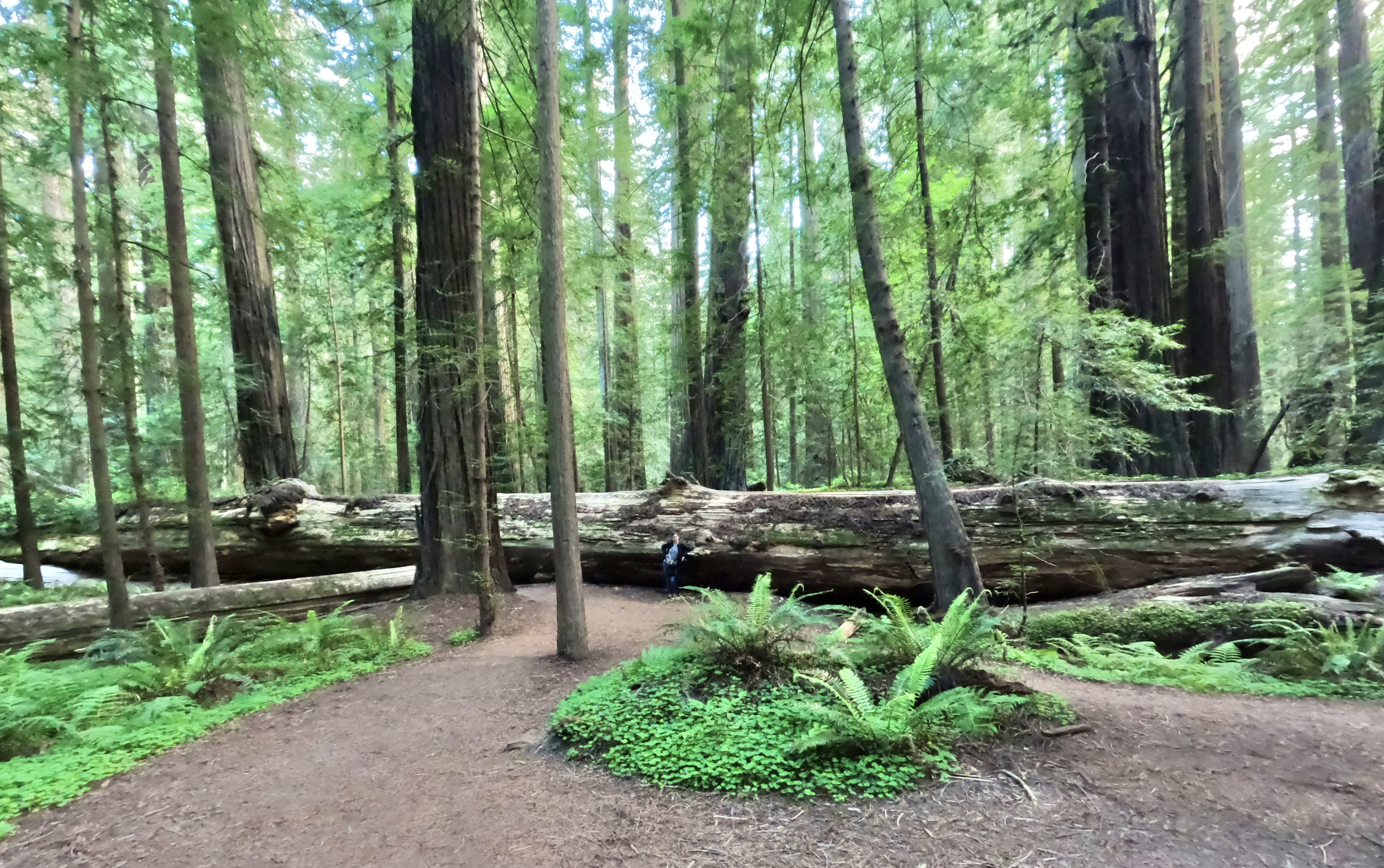
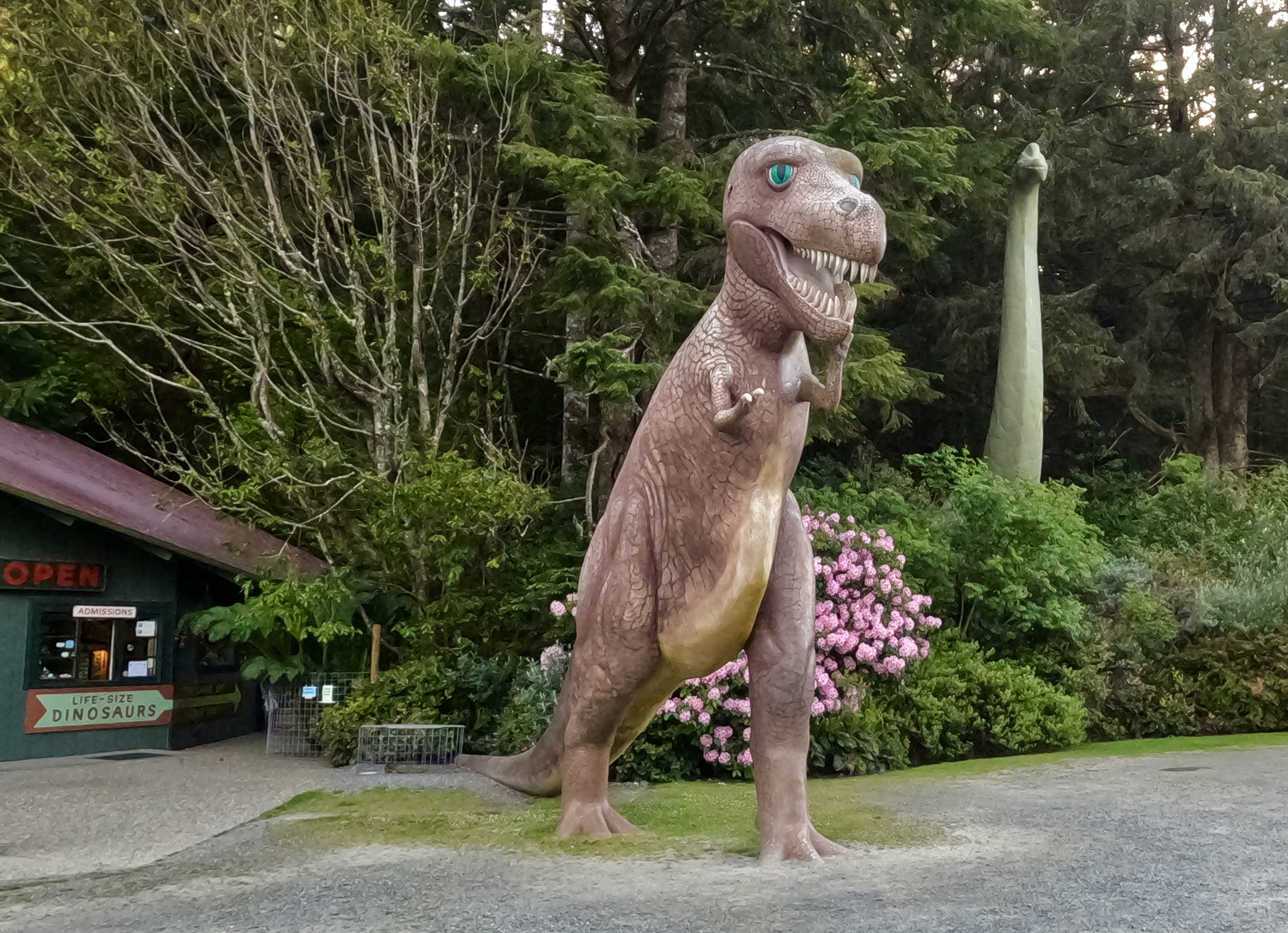
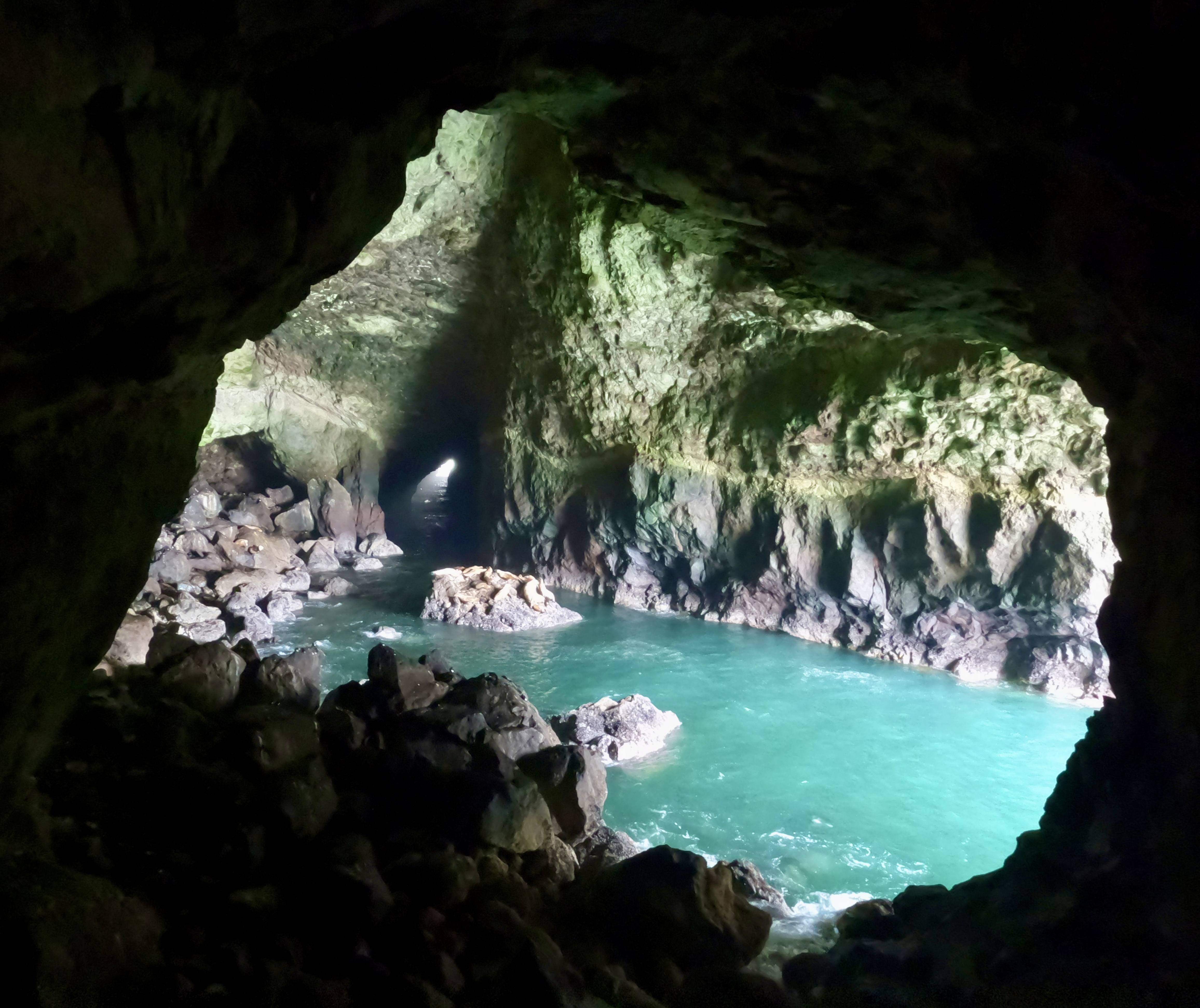
We left Sequoia National Park and started looking for someplace to stop for lunch. Every eatery we passed was overcrowded with cars and people, so we kept driving until we came to a picturesque but oddly empty Mexican restaurant. As we pulled into the parking lot we made a few jokes about how terrible the food must be if no one wanted to eat there. Turns out the joke was on us. The food was…subpar, to put it kindly. Luke ordered a chocolate shake with his meal, and the waitress apparently misheard him, because she brought him a slice of chocolate cake. Luke accepted the cake, but asked her to box it up to go. Later that day, many miles down the road, we pulled out the cake only to discover that it was riddled with mold. Luke is still salty about the whole experience.
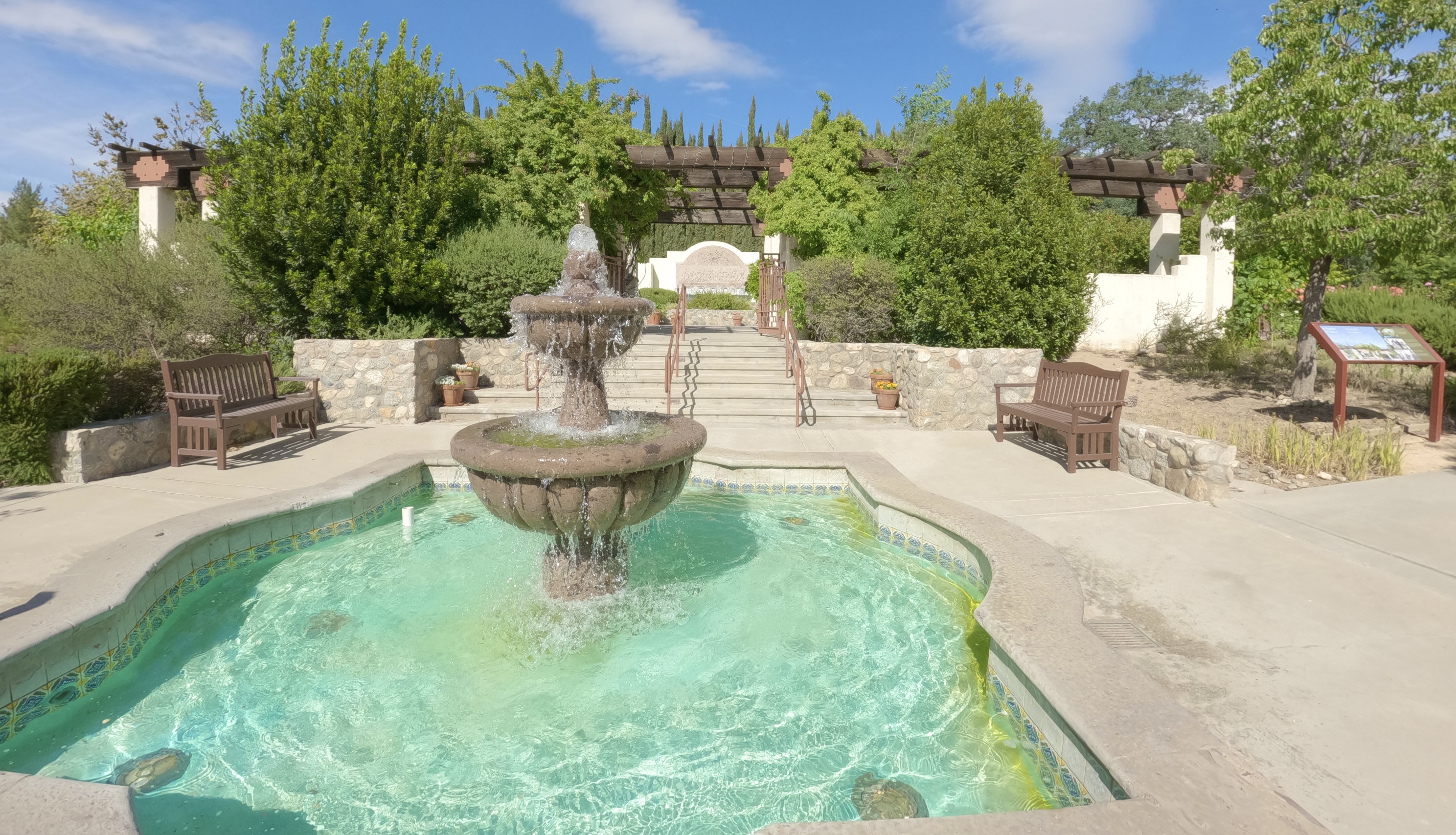
In Keene we detoured off the highway to visit the grave of a personal hero of mine, Cesar Chavez. The gravesite is a National Monument at Nuestra Señora Reina de la Paz, where the United Farm Workers of America is headquartered. The visitor center was closed, but the graves and memorial gardens were accessible.
A heady mix of jasmine, mock orange, roses and other fragrant blossoms rolled over us like a warm wave as soon as we opened the car doors in the parking lot. Most of the garden plants must have been chosen for their scent, because the place smelled amazing.
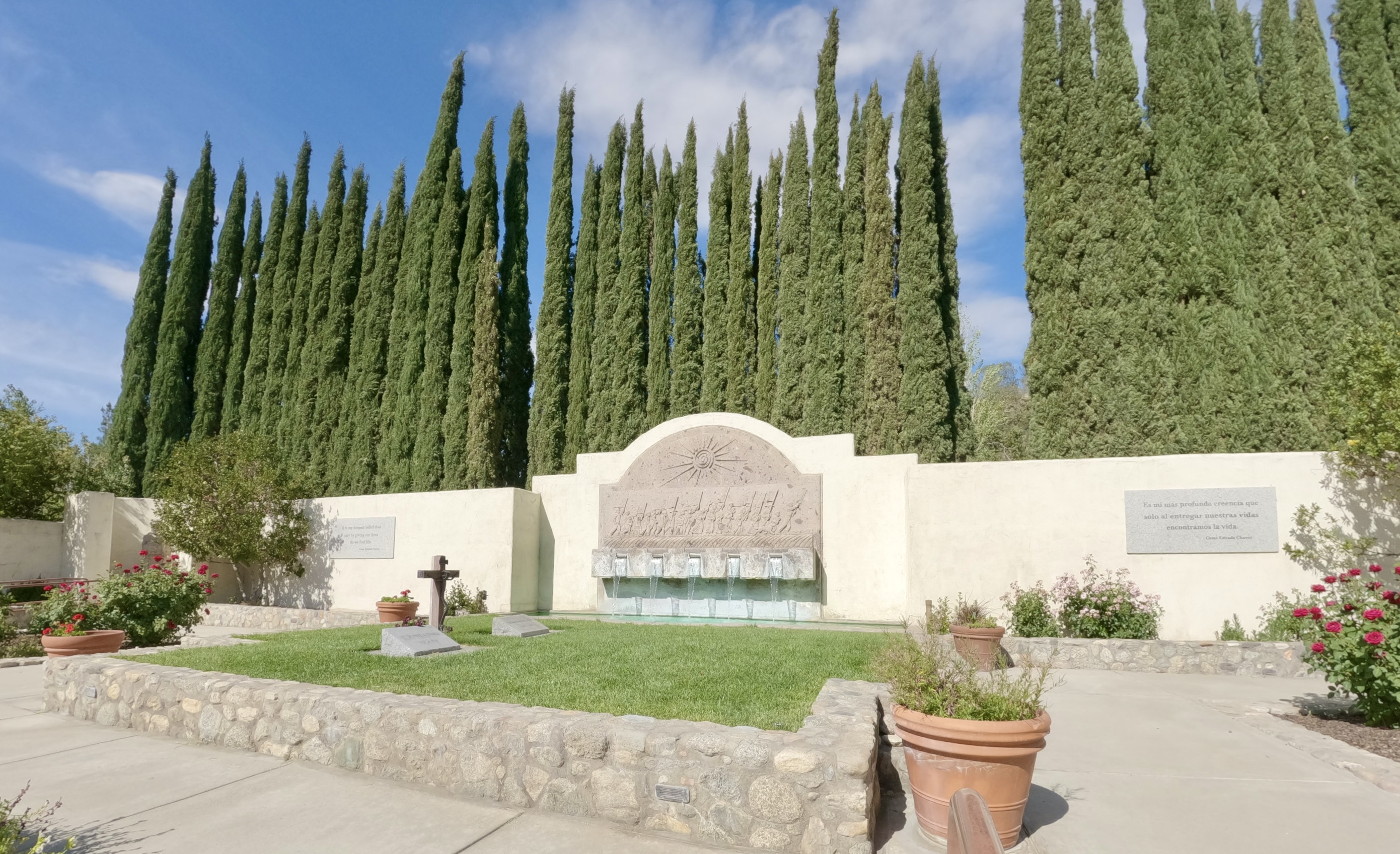

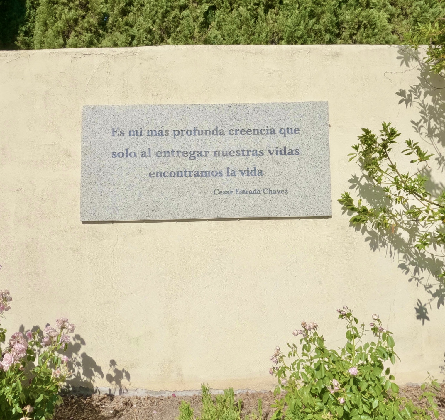
“It is my deepest belief that only by giving our lives do we find life.”
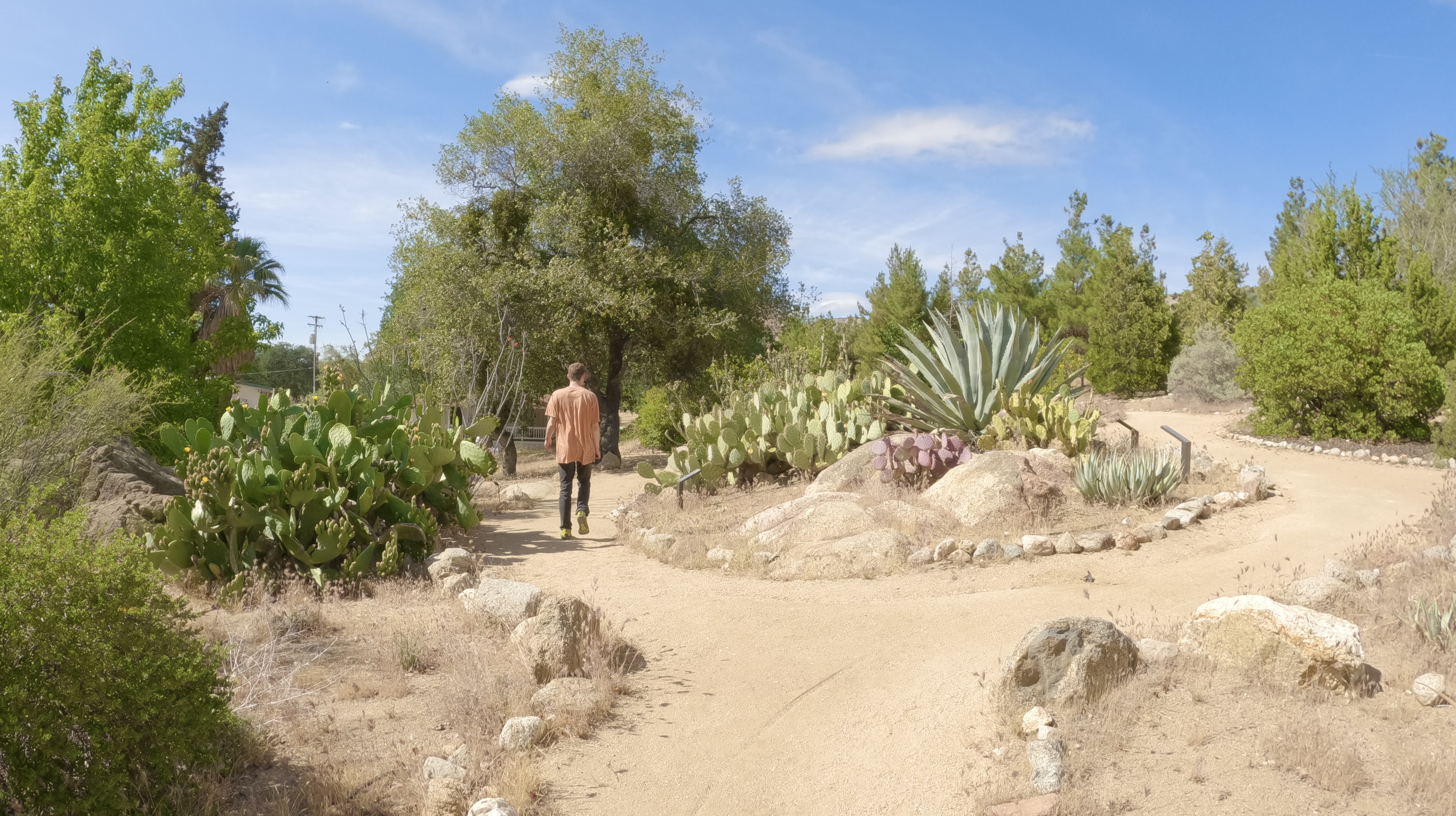
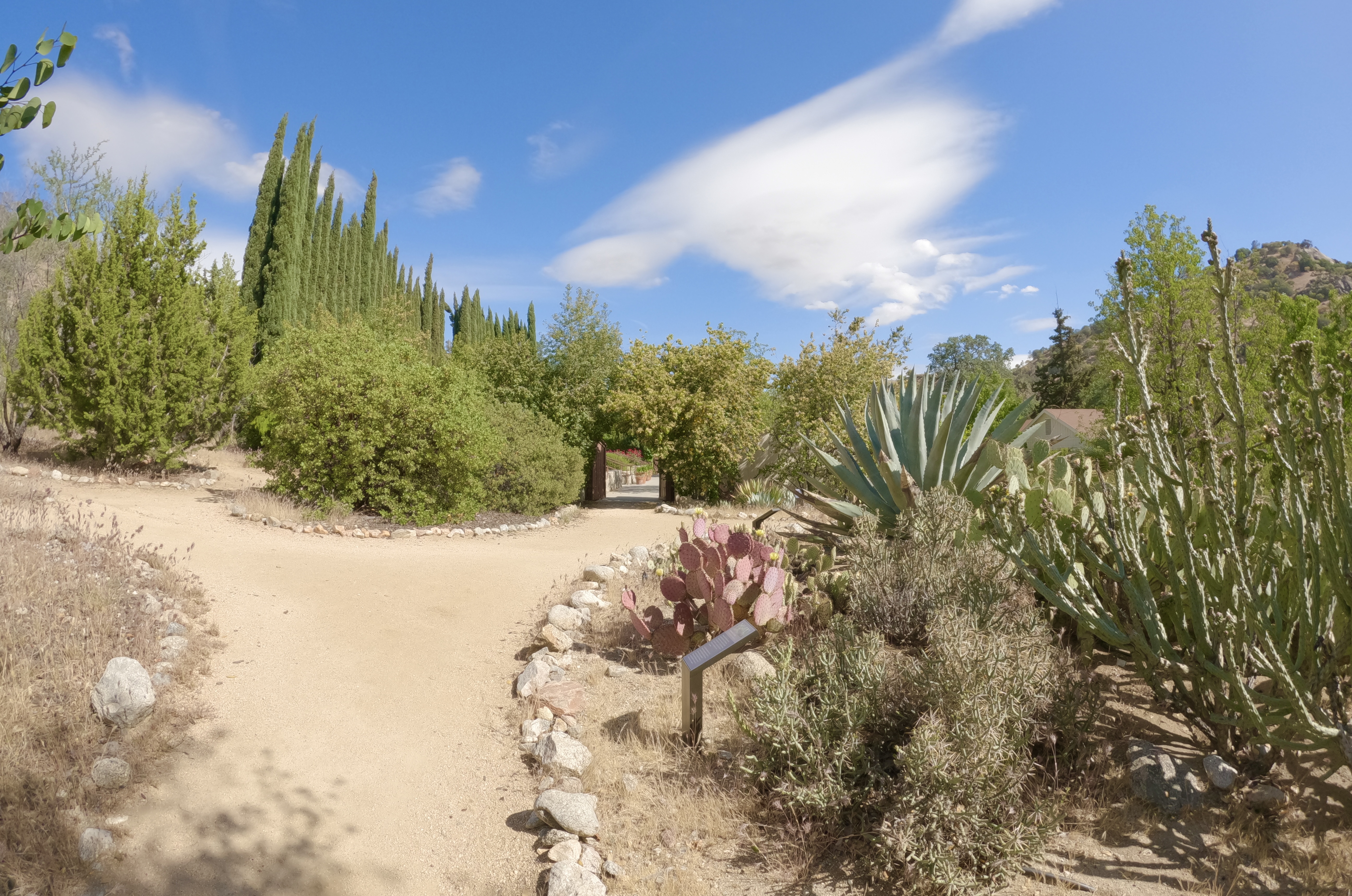
There’s also a desert garden here, a tribute to Chavez’s birthplace in Arizona.
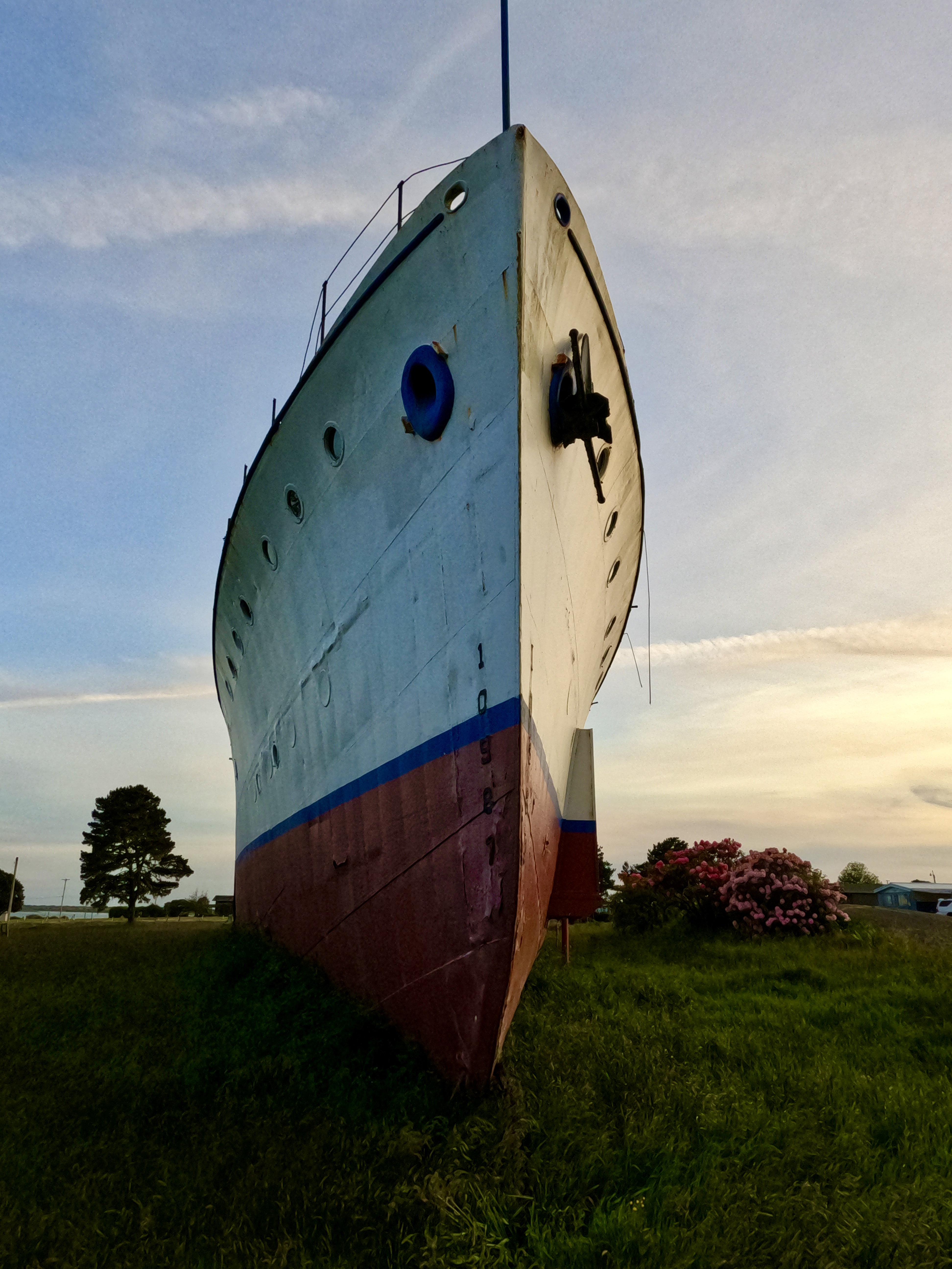
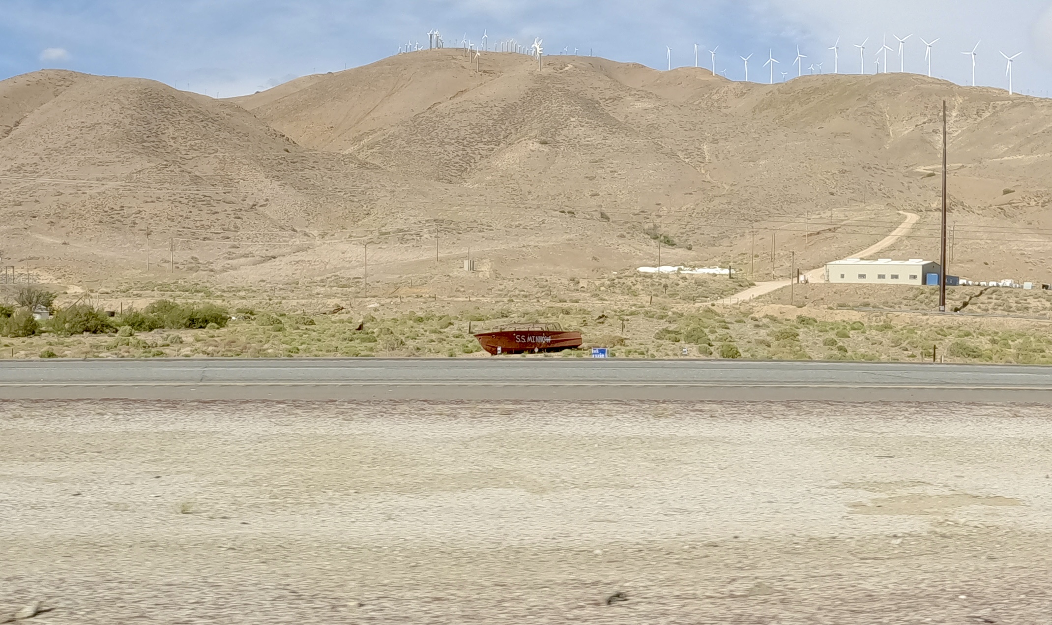
After we’d paid our respects, we returned to the highway and continued southeast. We passed a rusty old boat with “SS Minnow” painted on the side…
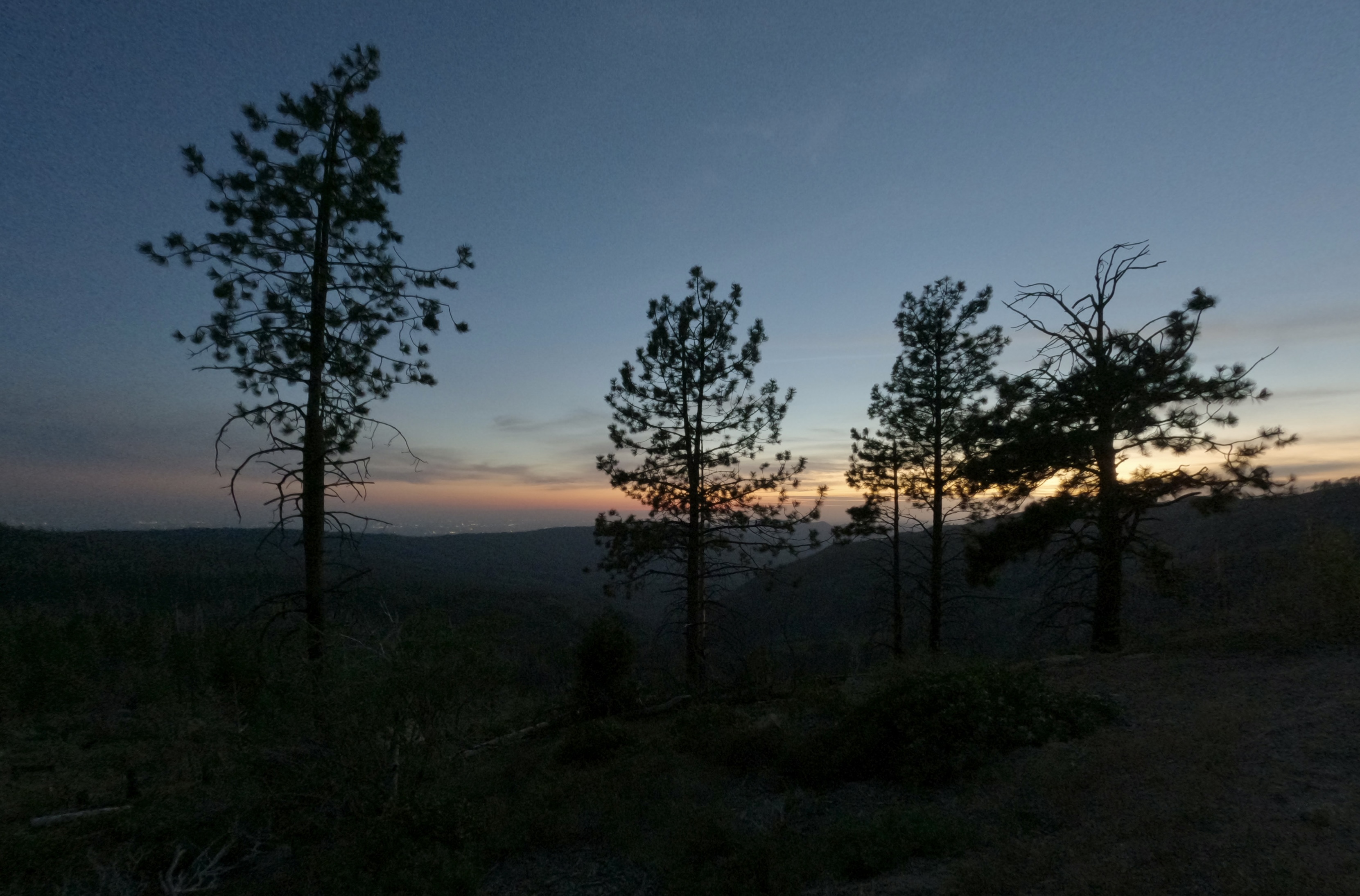
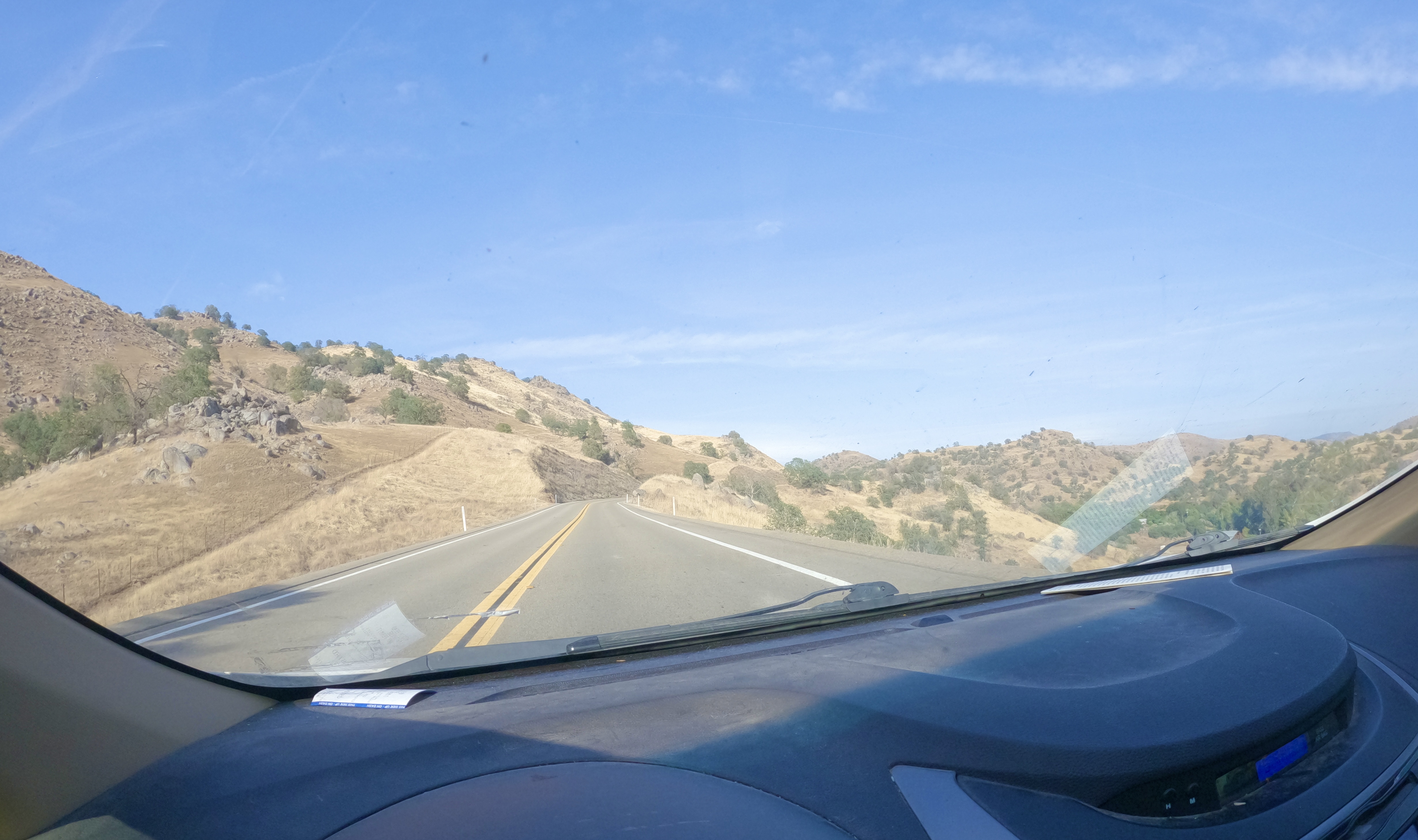
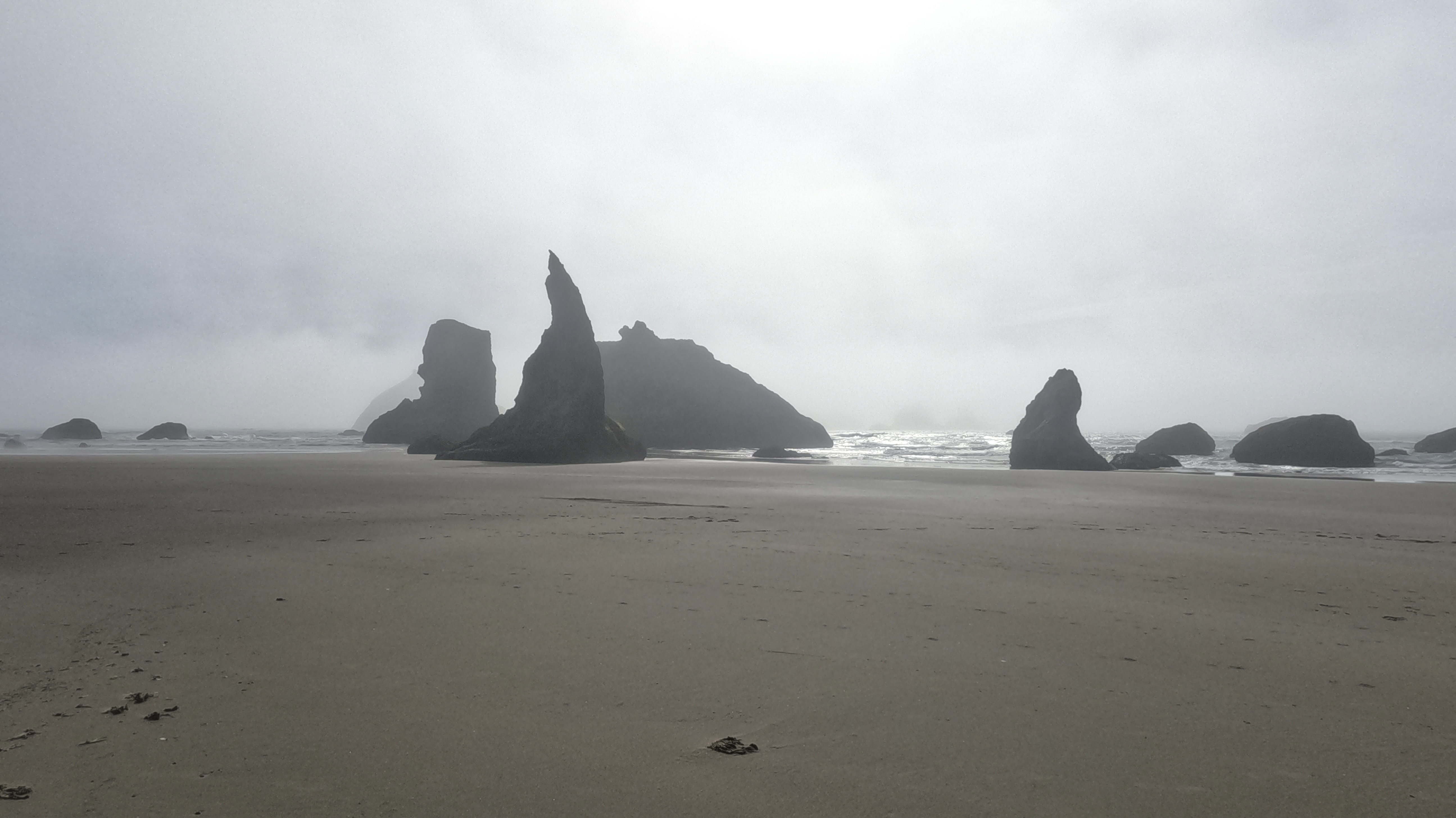
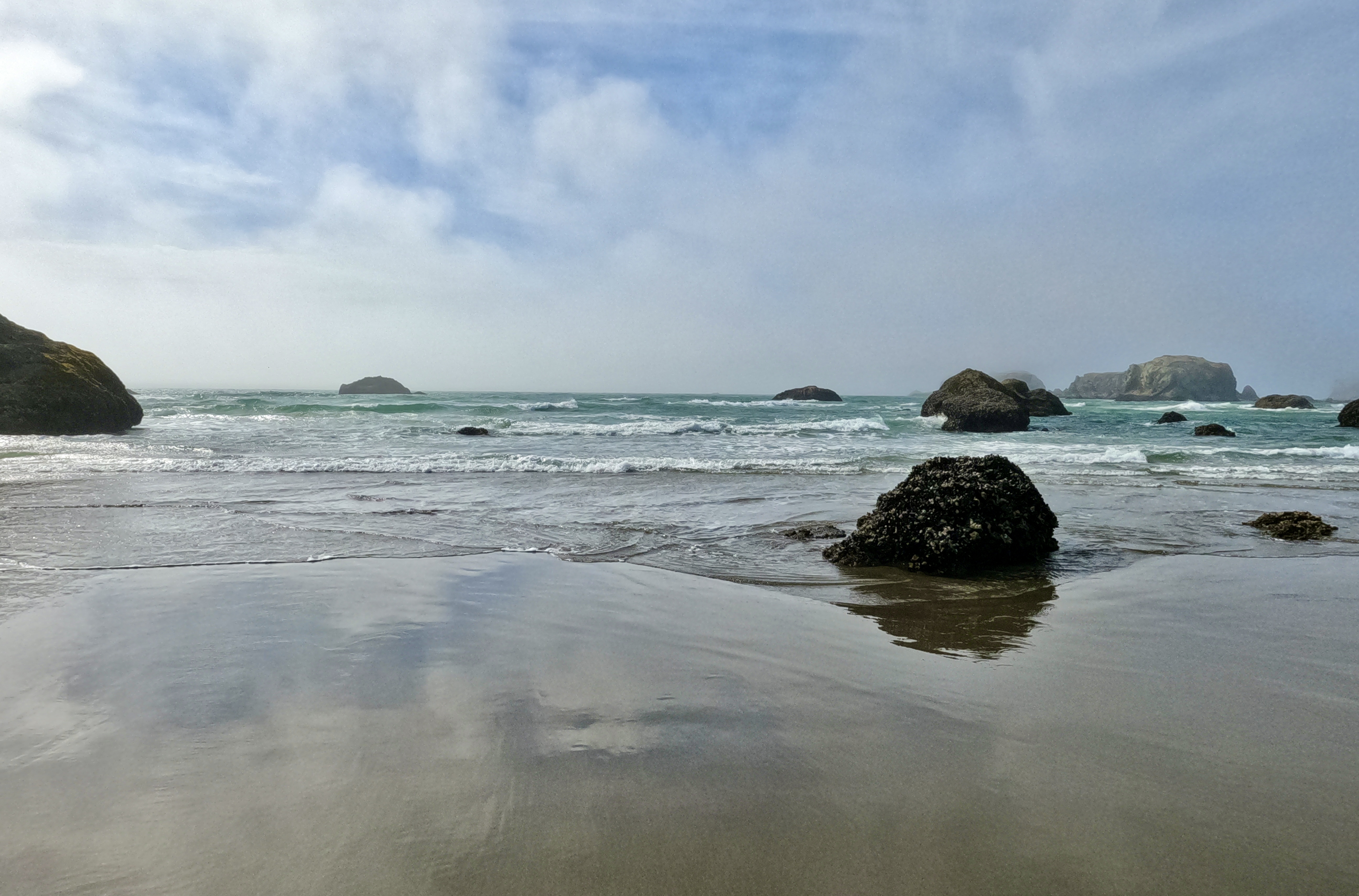
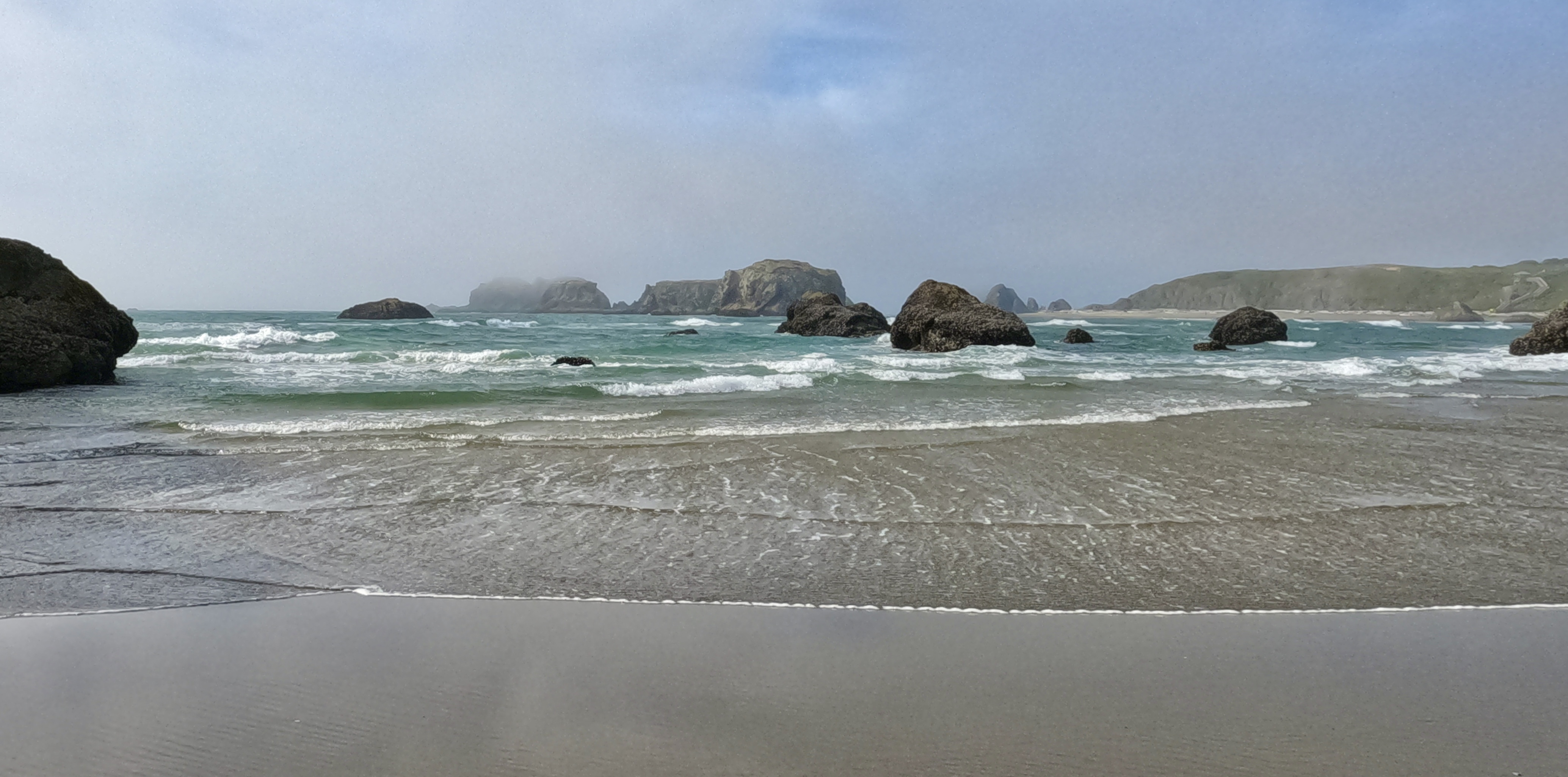
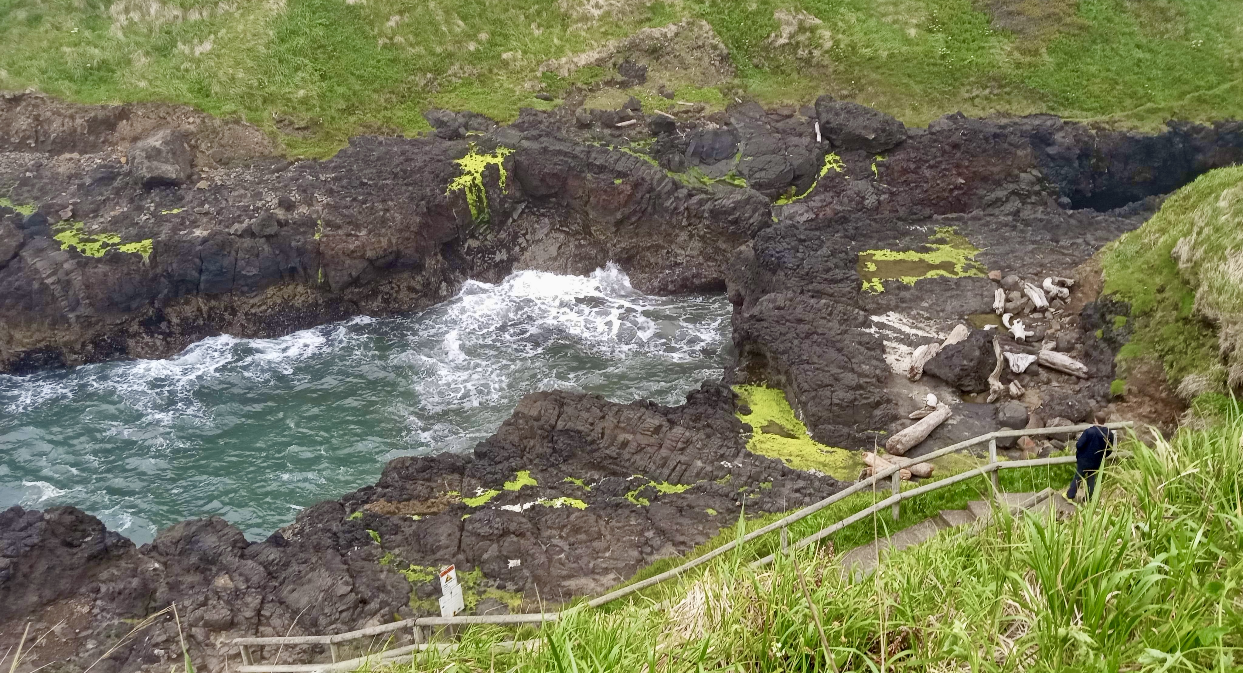
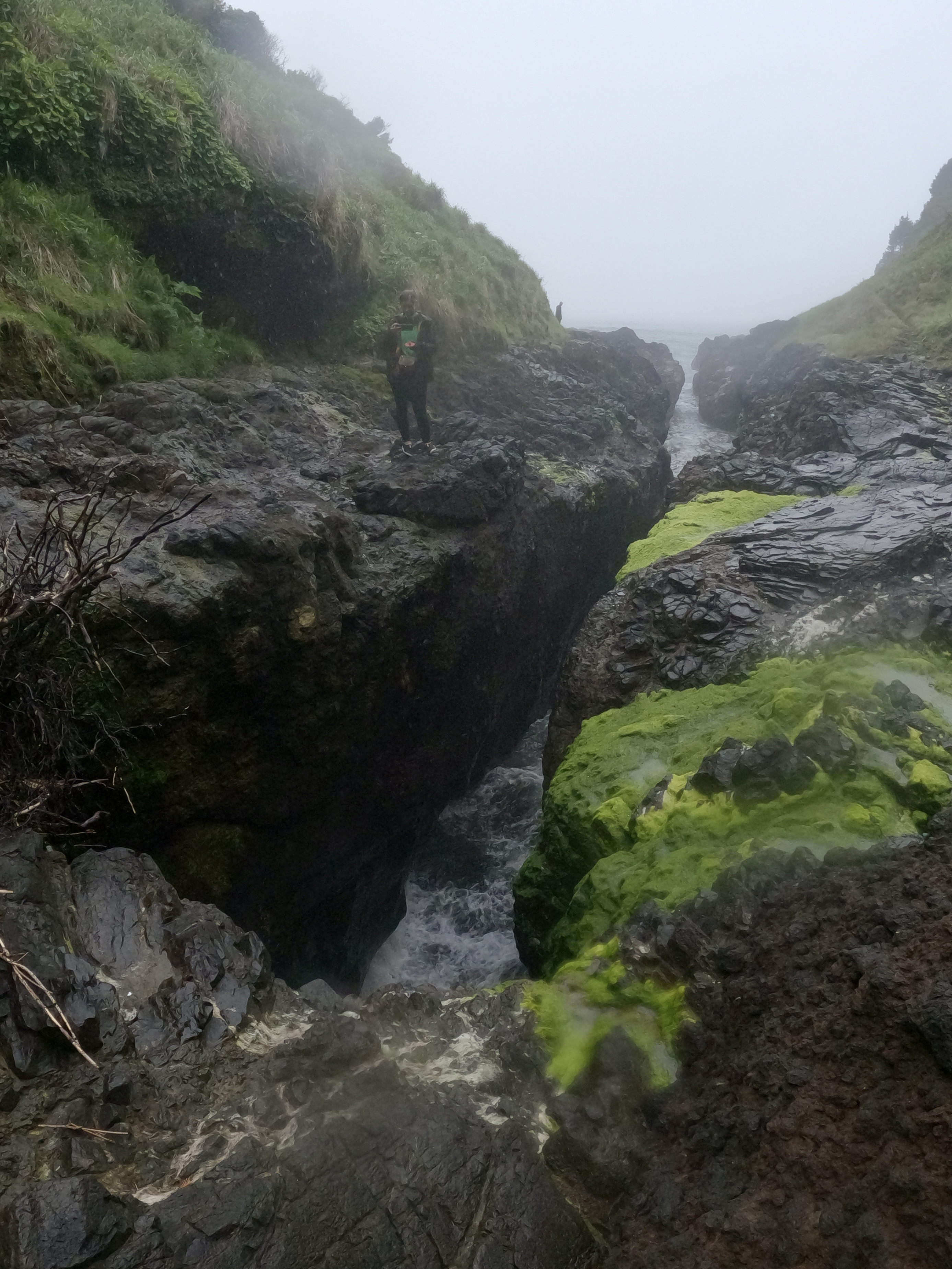
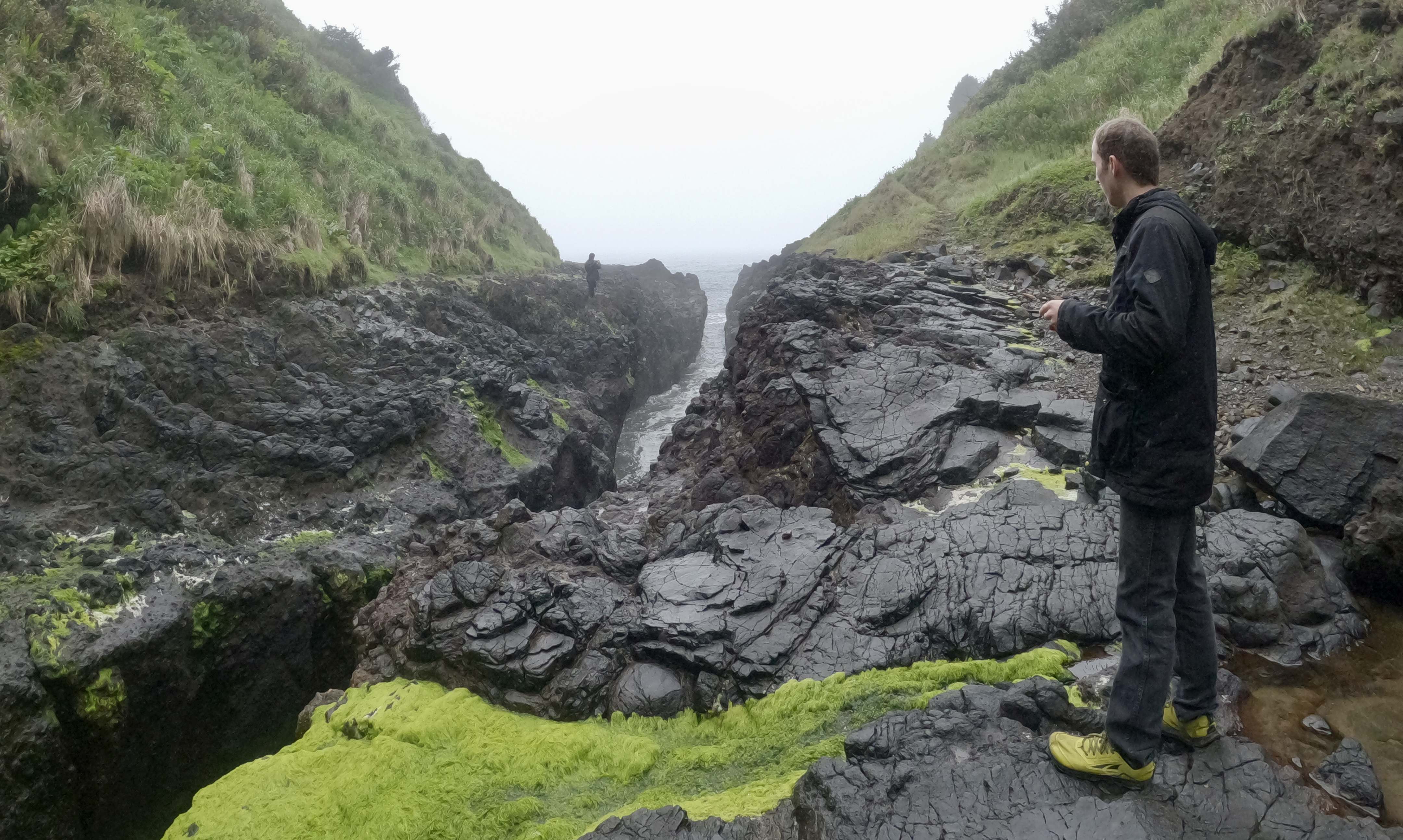
…and crossed another segment of the Pacific Crest Trail. That was satisfying, like a bookend. And then, rather suddenly, we were out of the foothills and into the Mojave Desert.
I can neither explain nor fully describe the stupefying effect this desert had on us. Luke and I took turns driving in short shifts of an hour or two at a time, because that was all we could manage without dozing off at the wheel. Our Fellowship of the Rings audiobook, that had entertained us through a few tedious miles earlier in the trip, now required more concentration than we could muster. Fast music was an annoyance, slow music was a sedative. We drove in silence, two of us sleeping while the third struggled to keep their eyes open enough to stay on the road. It was like that field of cursed poppies in “The Wizard of Oz.” After everything we’d seen and done in our travels, the Mojave Desert nearly defeated us.
We were briefly roused by a middle-of-nowhere travel stop called the Cima Mining Co., that lured us in with promises of exotic jerked meats (Alligator! Elk! Buffalo!) and fresh date shakes. Alas, most of the jerkies were too caliente for our taste. But we did find some really good maple-wild-boar jerky, and the date shakes were great. That kept us mostly awake for the rest of the way to Las Vegas.
We had planned to walk around Vegas a bit, but the combination of lingering desert grogginess and Memorial Day Weekend crowds squelched our enthusiasm for sightseeing. We settled for driving down the Strip instead of bypassing it completely.

We pulled into a small truck stop to spend the night, but the whole parking lot was flooded with lamplight. As tired as we were, we couldn’t sleep there, so we dragged on to another, more vagabond-friendly travel stop.
We woke up the next morning with a single goal: make it home that day. There was nothing left on our to-do list, no more sights we wanted to see. Or so we thought!
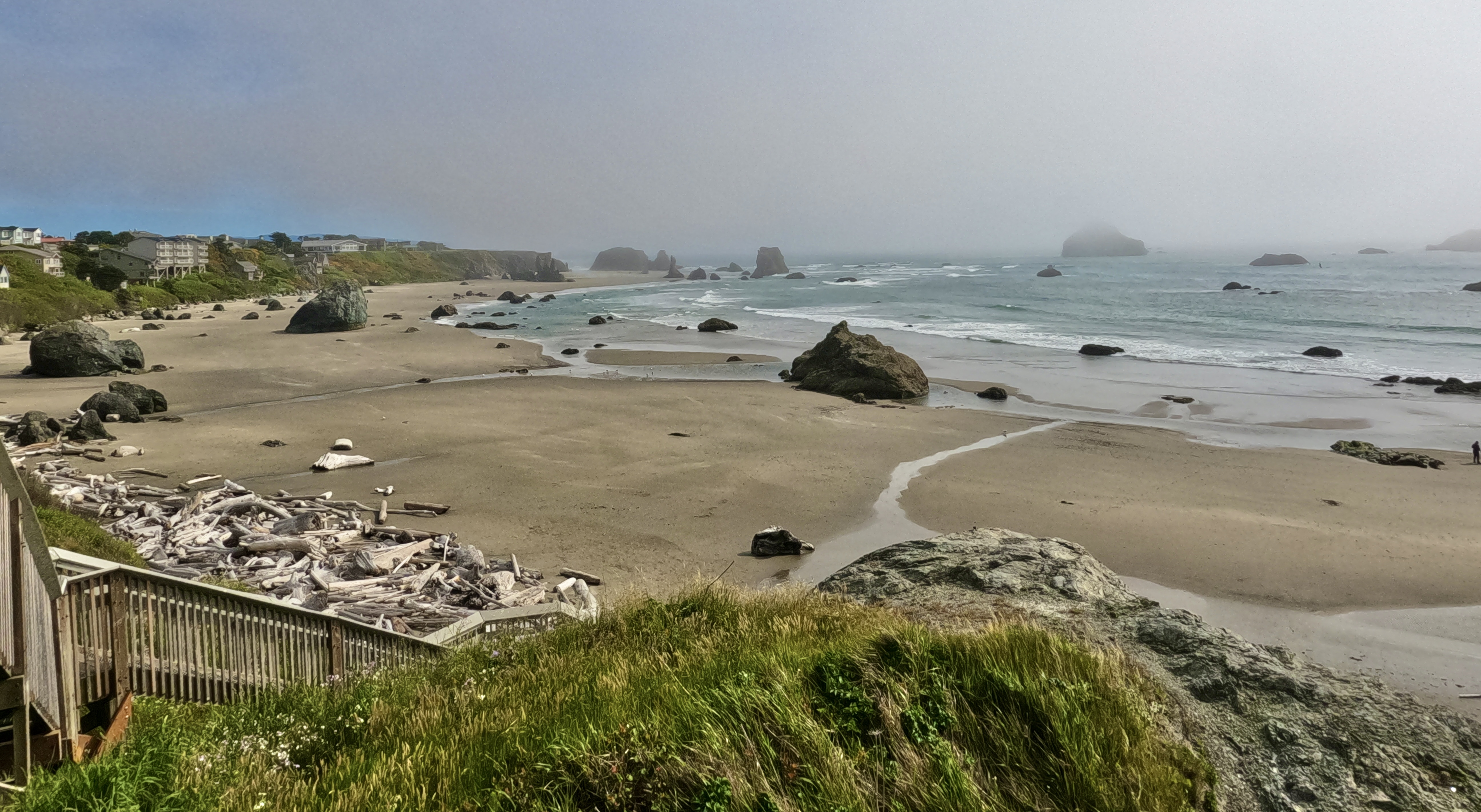
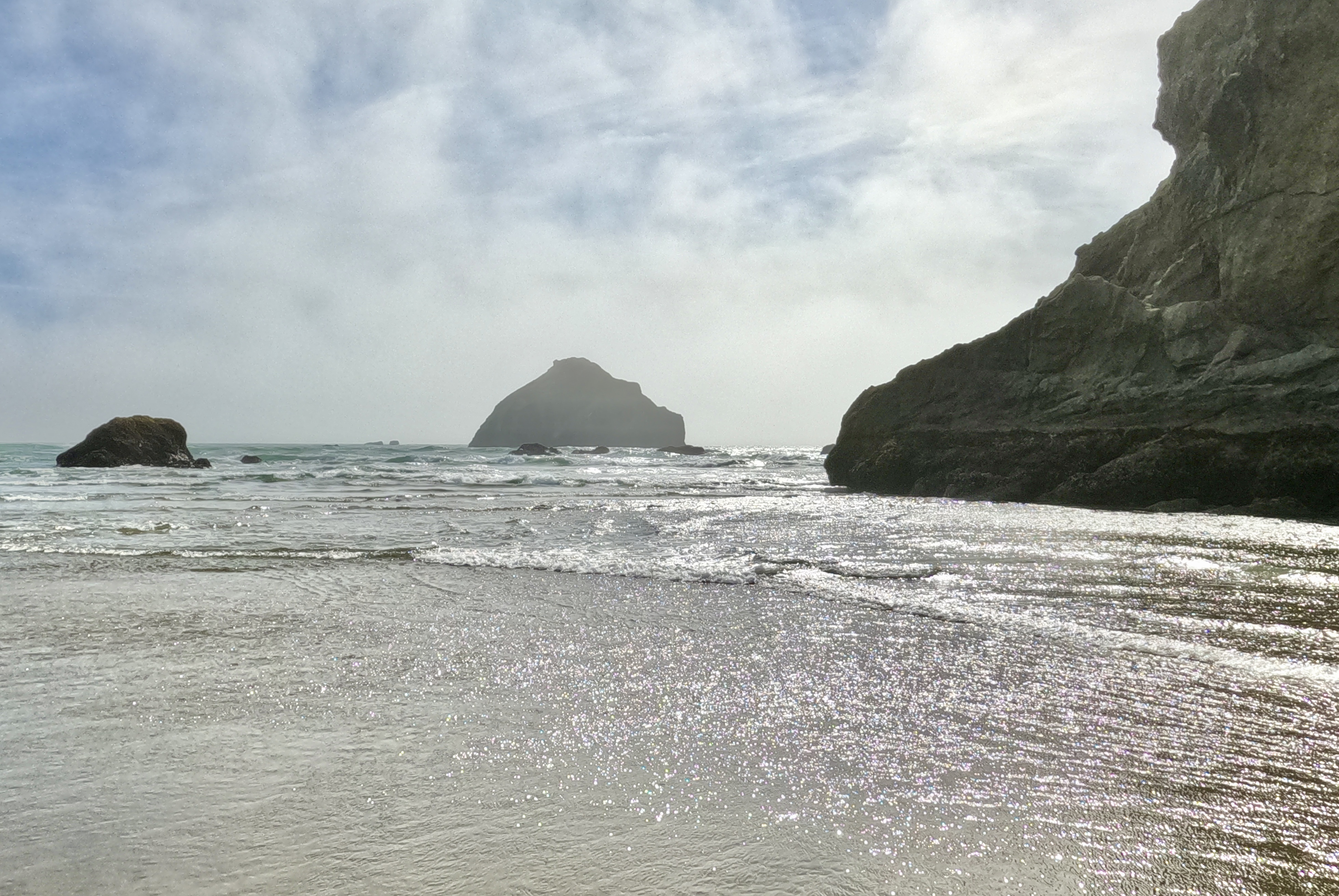
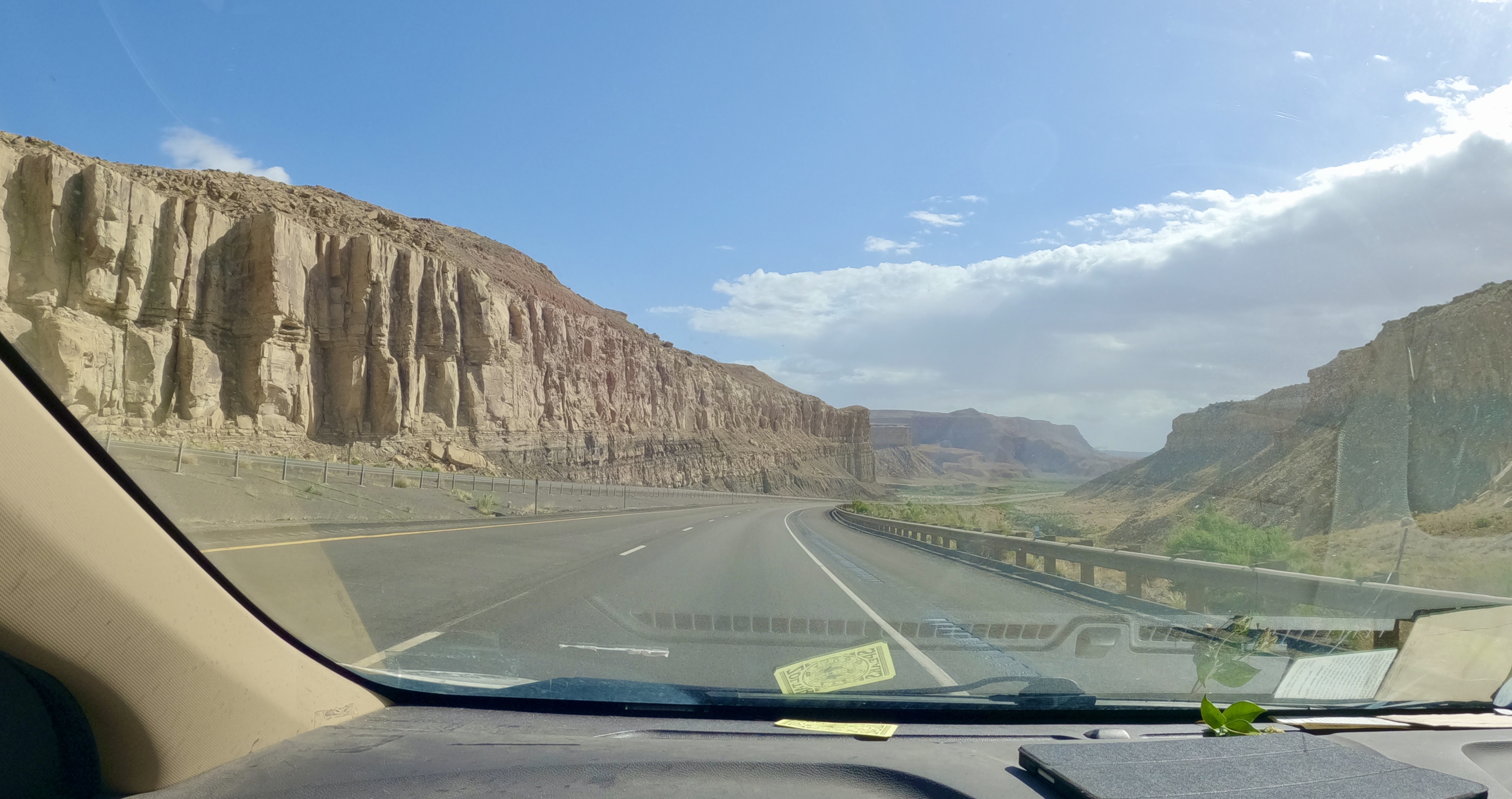
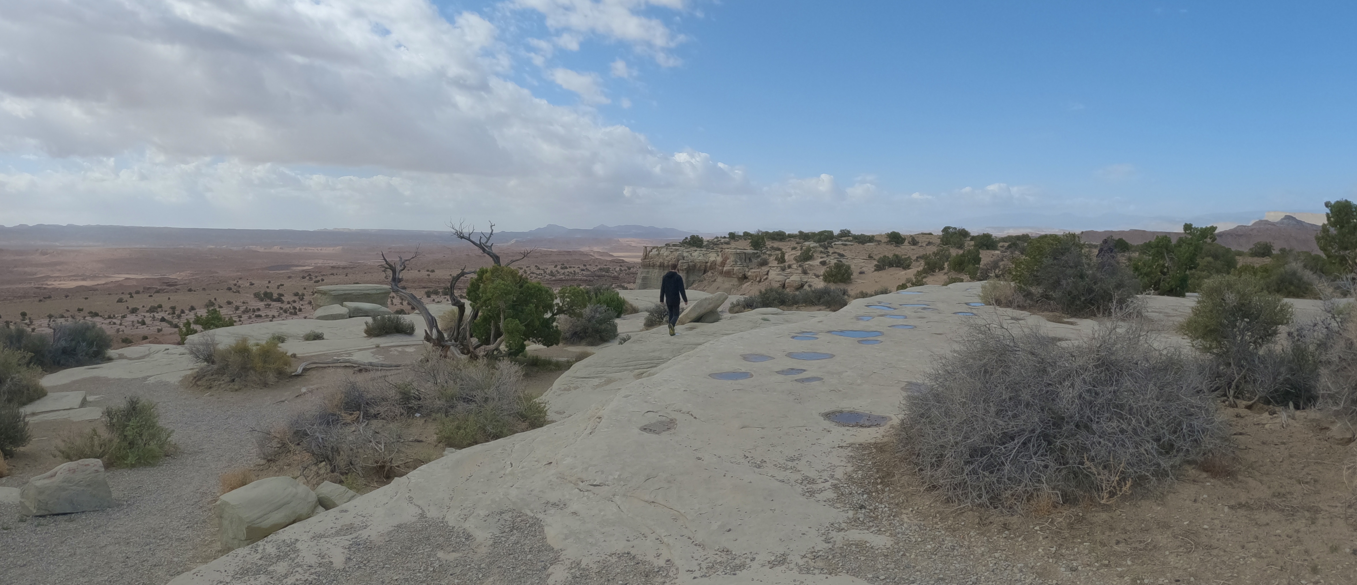
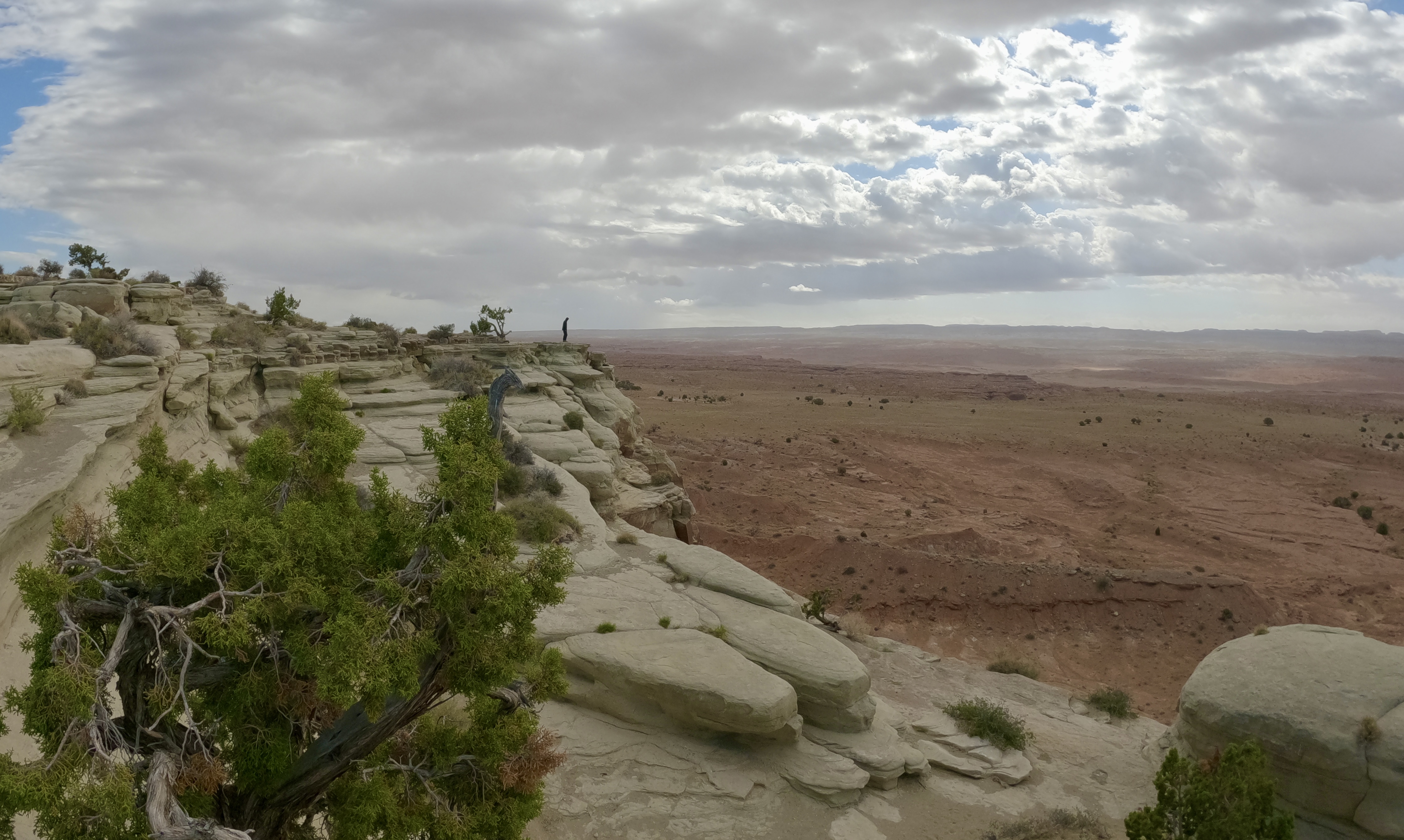
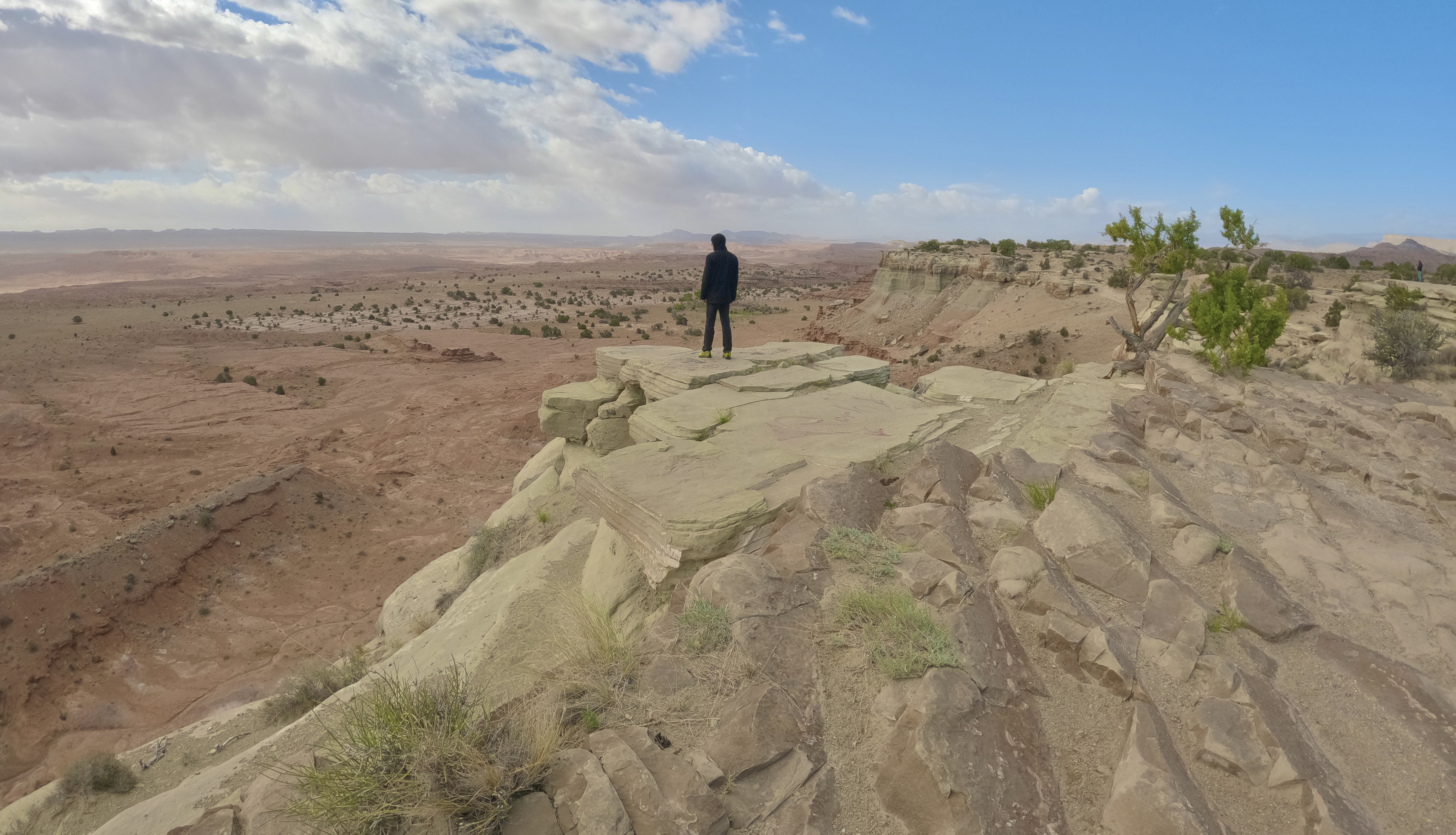
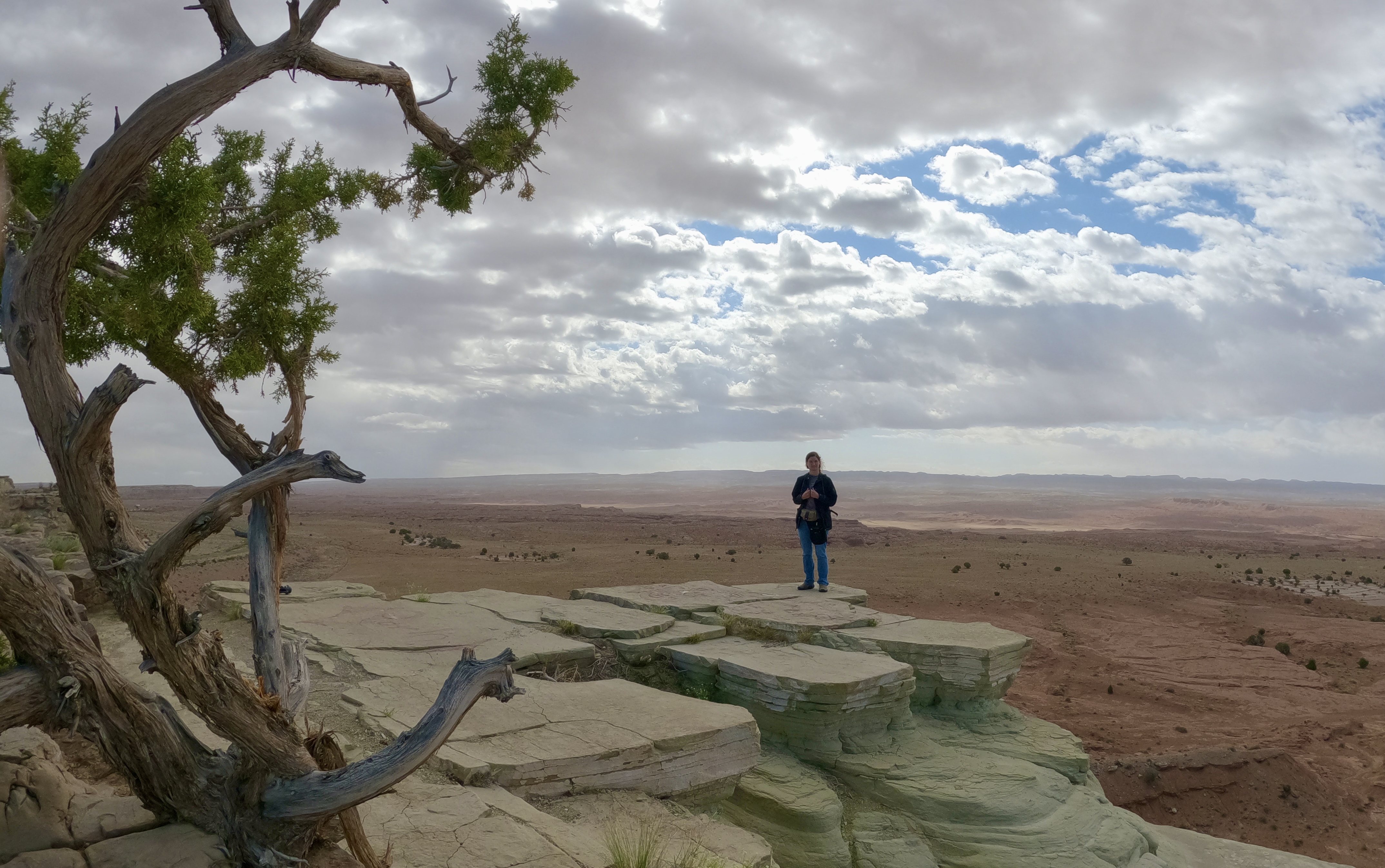
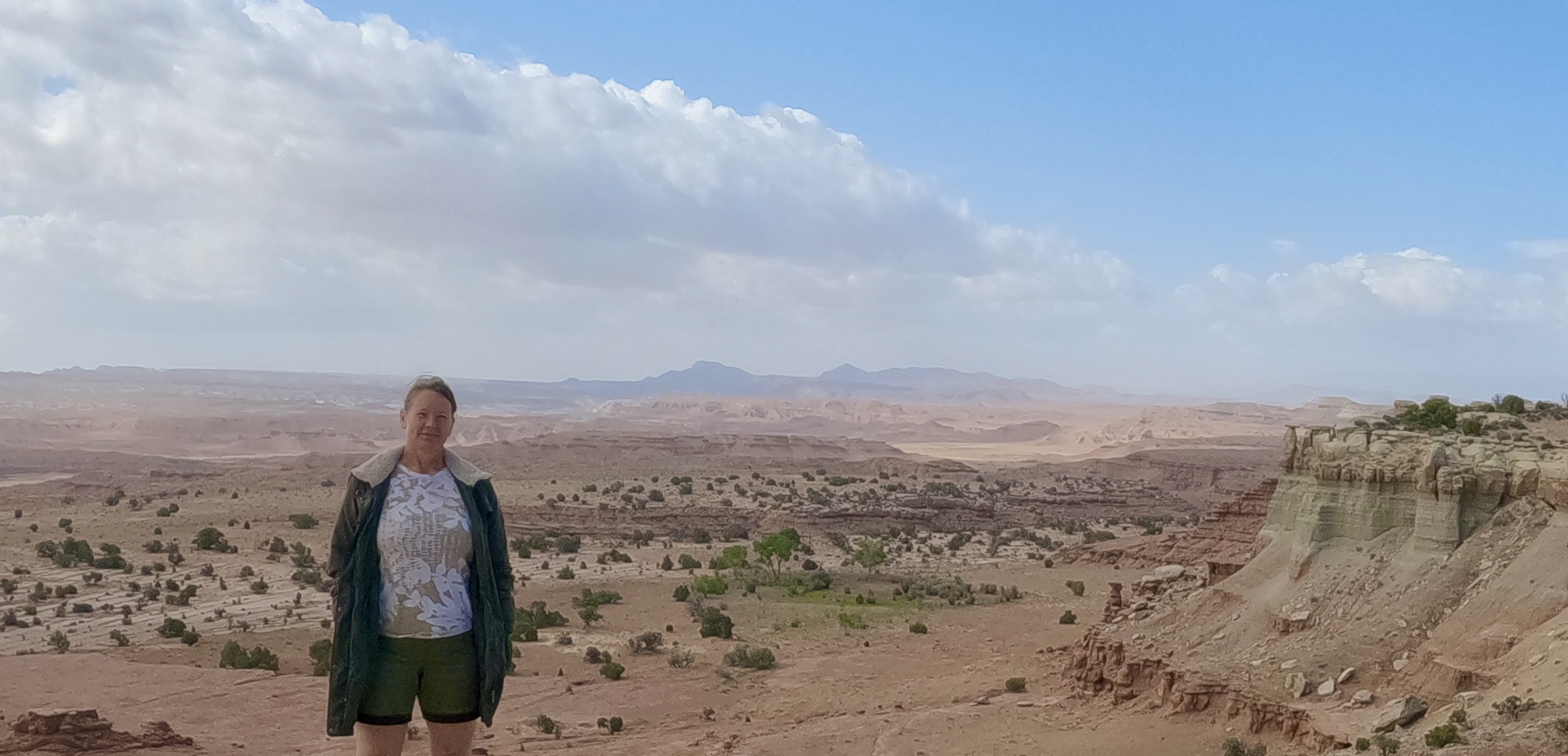
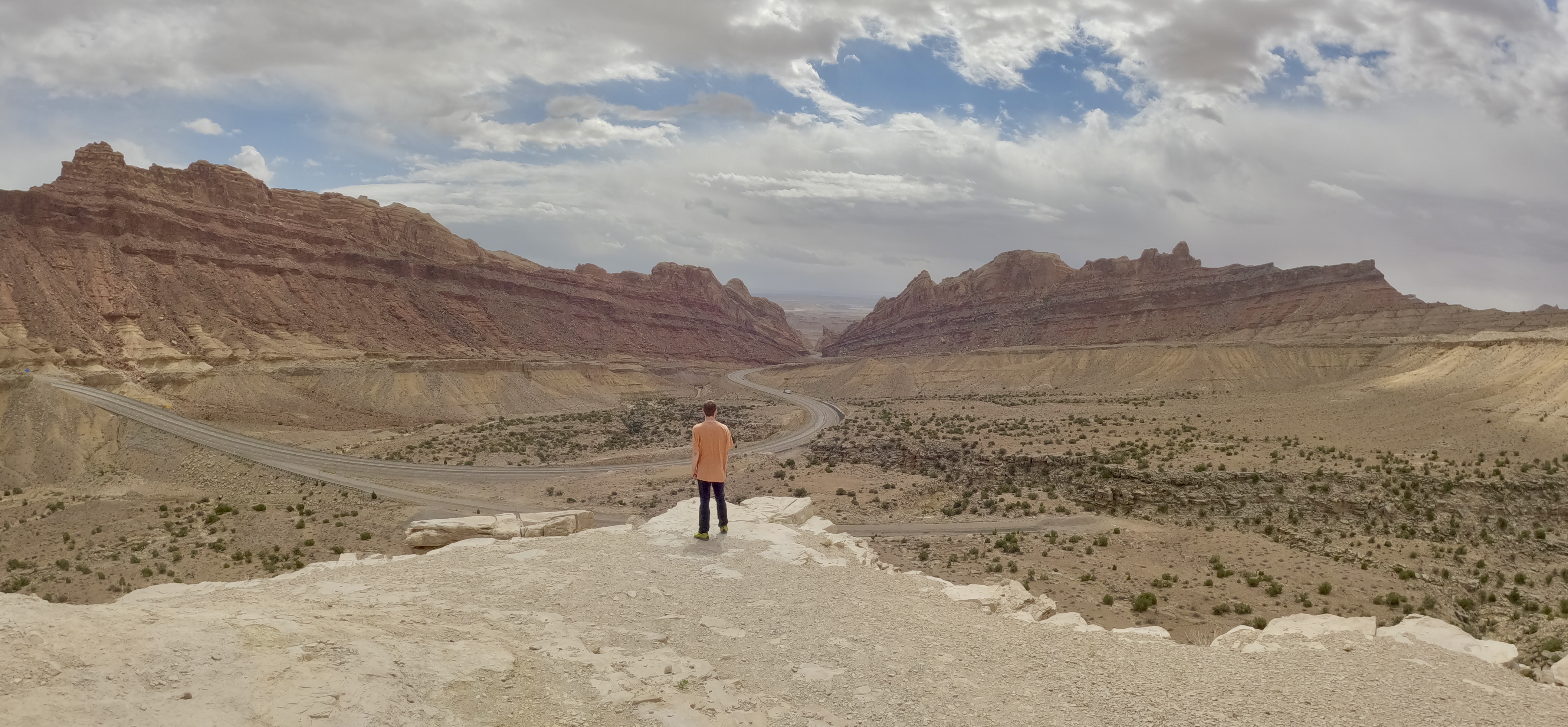
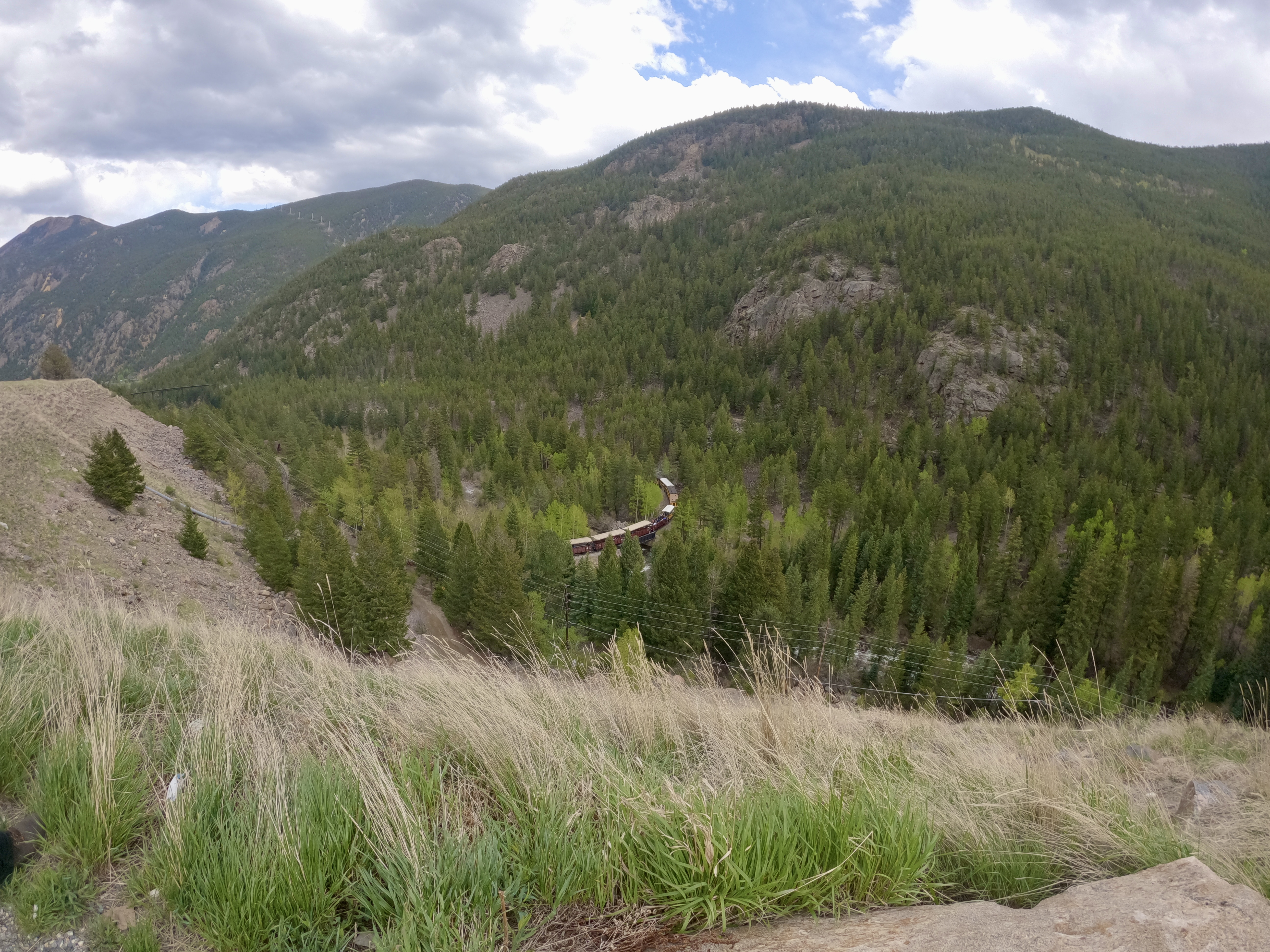
I was not prepared for the beauty of central Utah. Here among the plateaus and canyons, our sense of urgency faded and we stopped often along the highway to get out and admire the views.

I had finally traded in my marino wool top, jeans and leggings for tee shirts and shorts back in Sequoia. Now the air was chilly again as we climbed back up into the higher elevations.


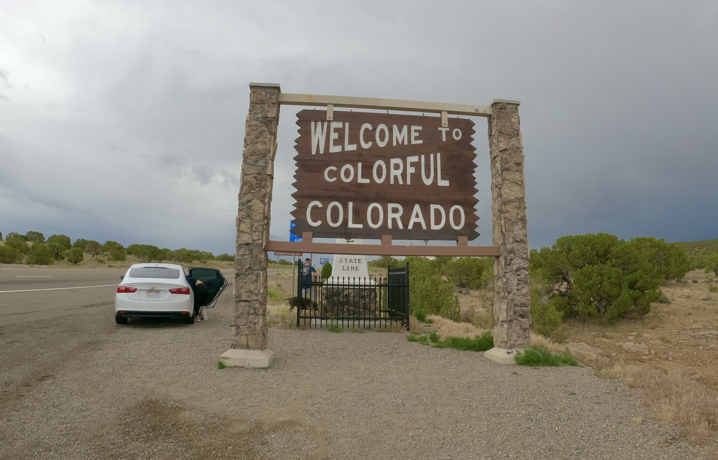
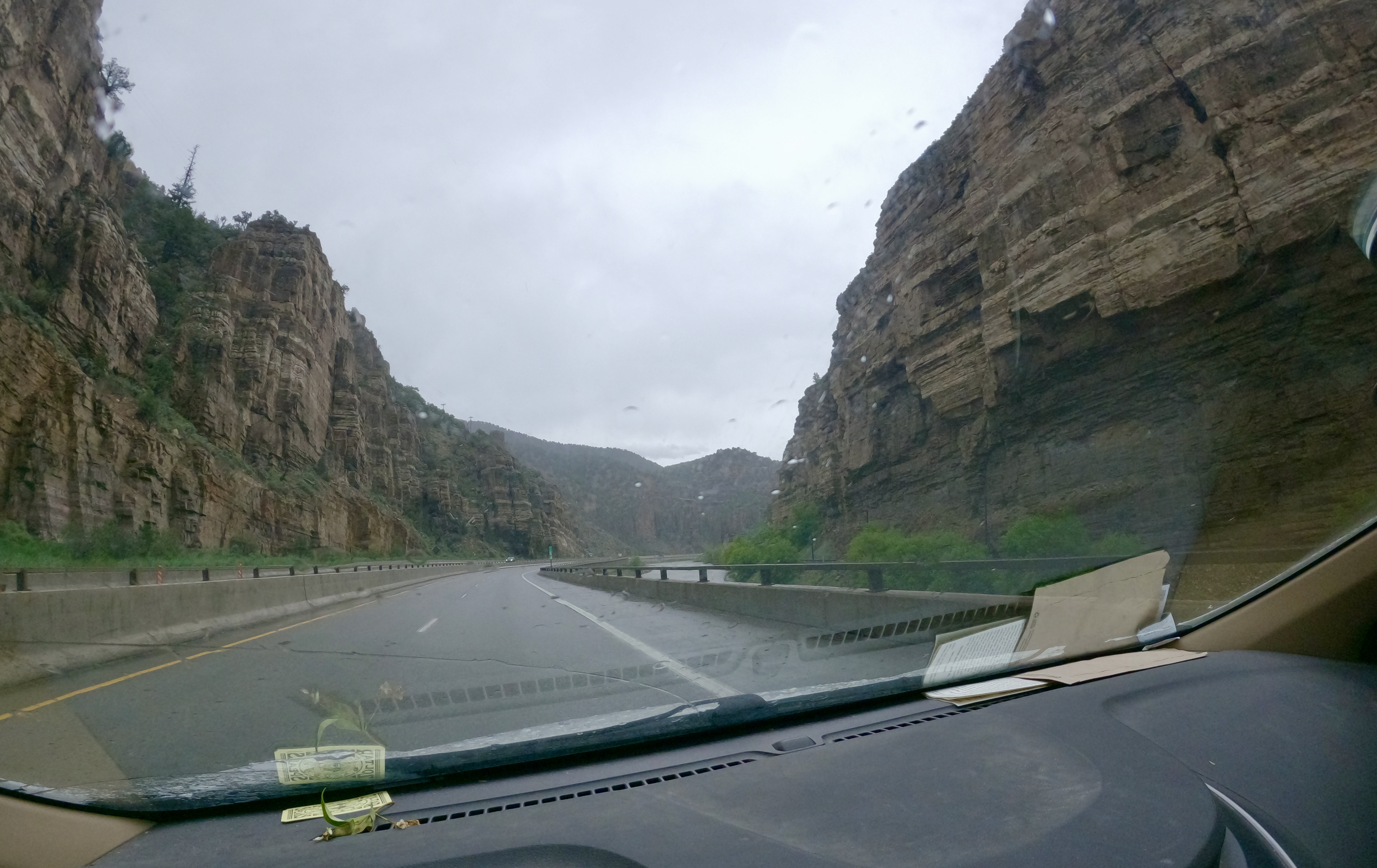
As we crossed back into Colorado, the weather was almost identical to what it had been when we left: lowering skies, raining off and on.
As eager as we were to get back to our own beds, we made one more stop on the way: we picked up dinner to go from our favorite local Chinese restaurant. Colorado has a reputation for lacking diversity, but if you know where to look you can find really wonderful authentic food from all over the world.
It felt nice to be back. It felt like coming home.