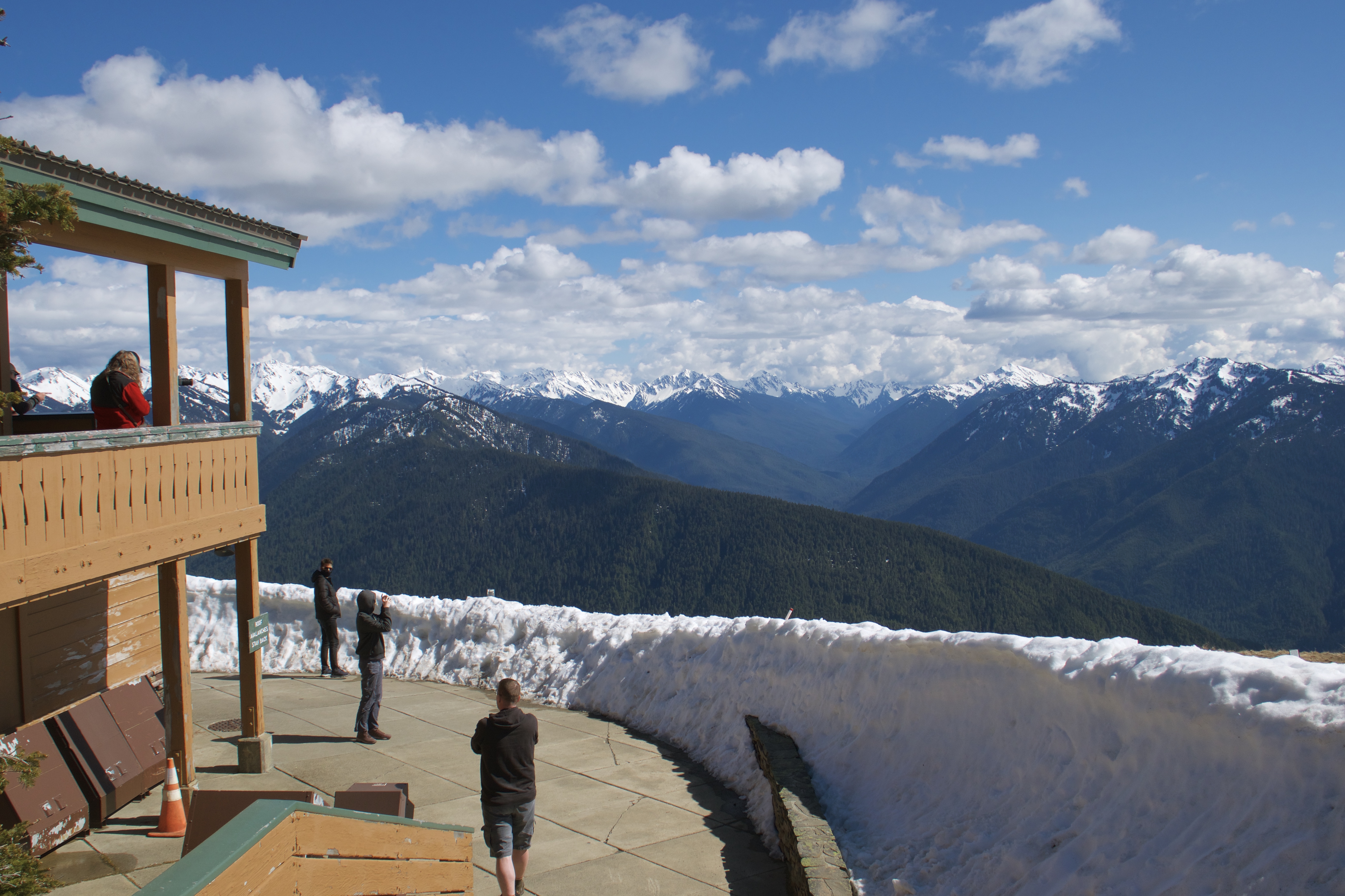
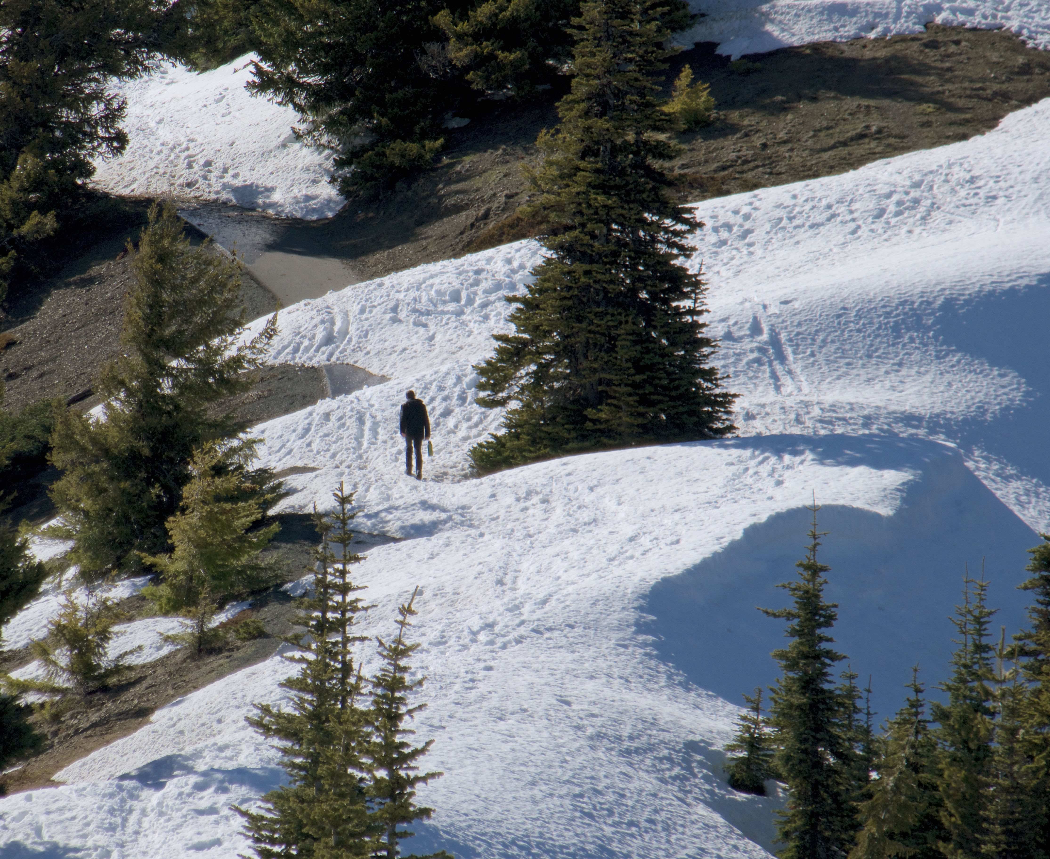
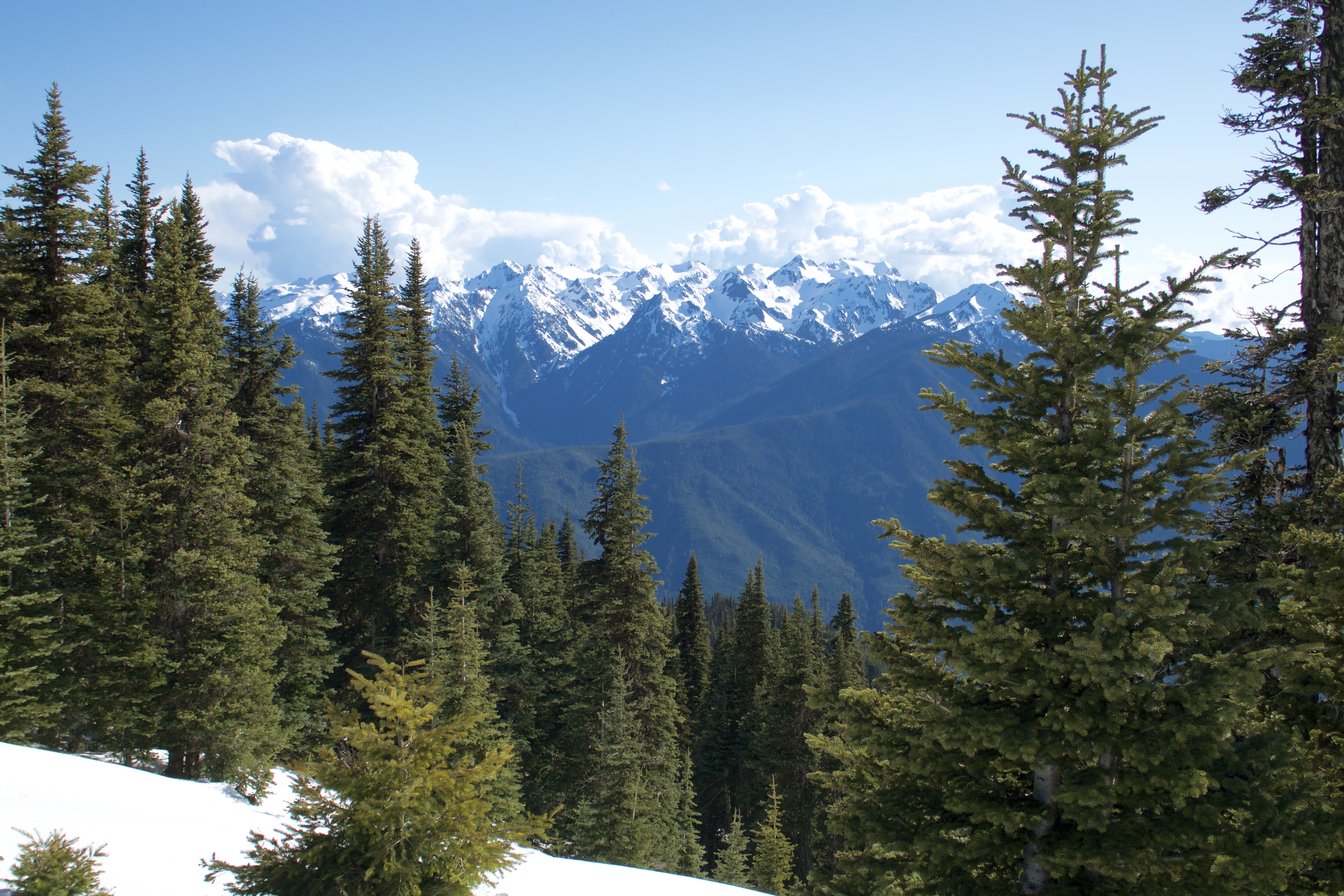
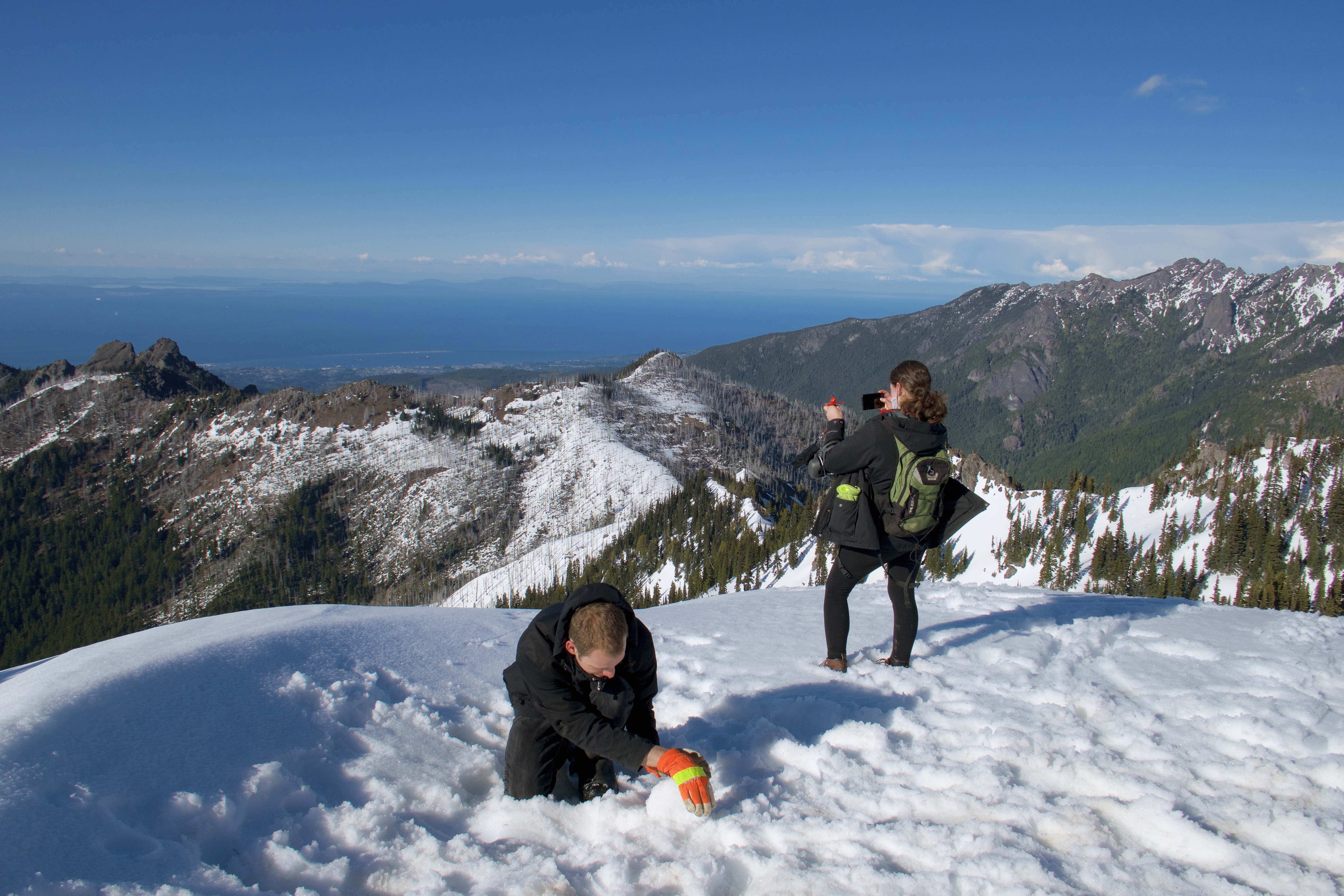
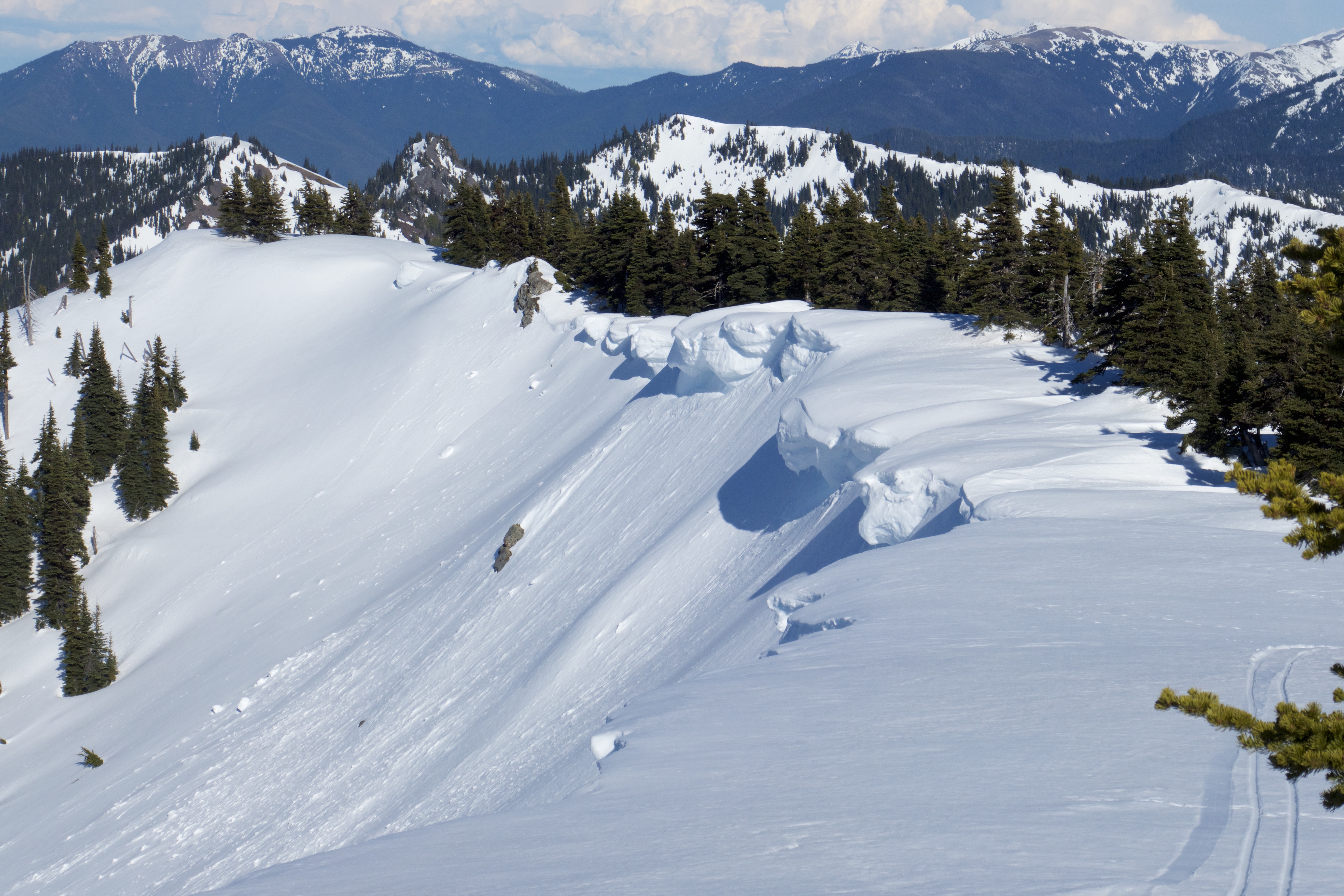
Knocking out the Hurricane Ridge hike on Saturday afternoon instead of Sunday morning put us comfortably ahead of schedule on our planned itinerary. We indulged in a 5-star breakfast of hot ramen and cold pizza and broke camp.

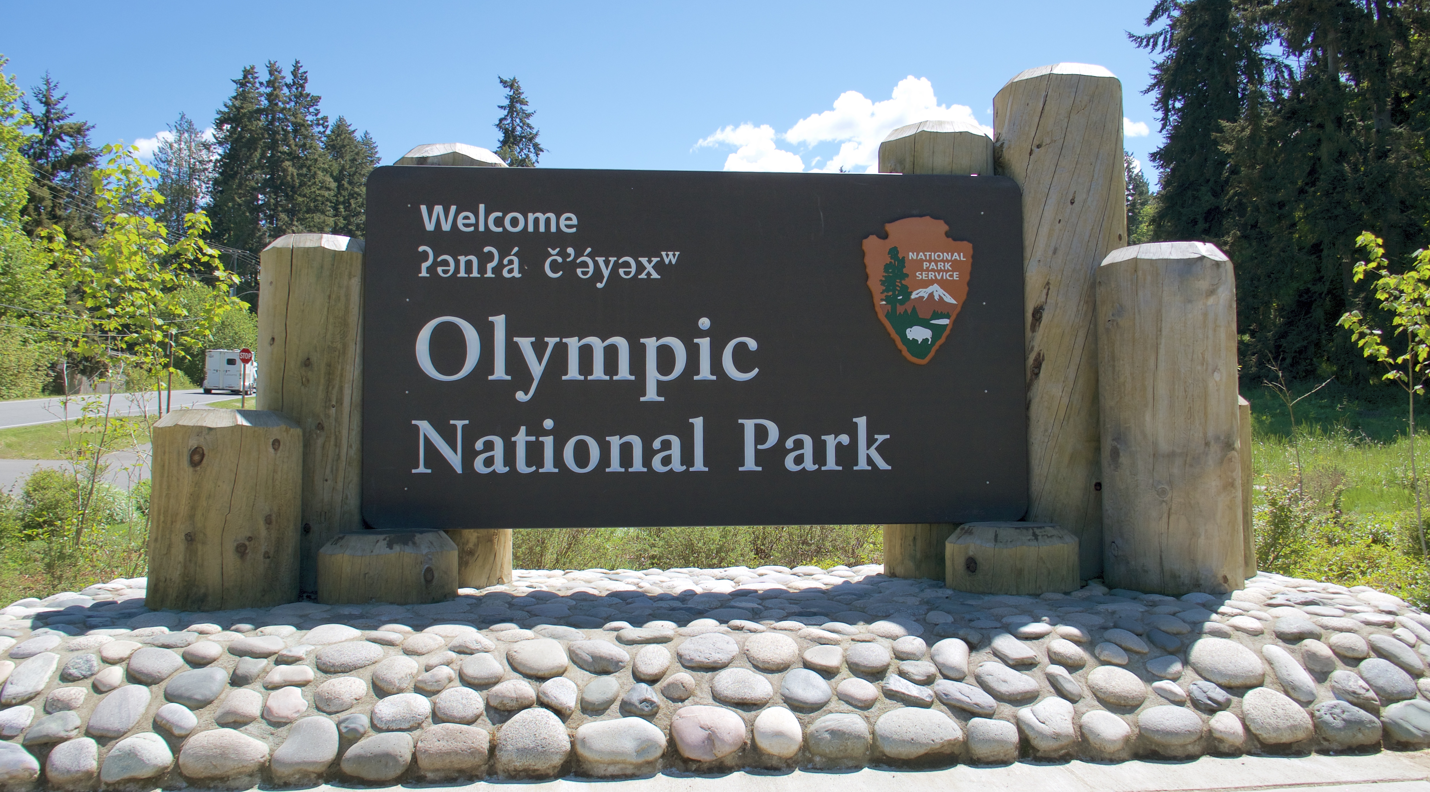
We passed another ONP visitor center on the drive back to Hwy 101, but it hadn’t opened yet. No worries, plenty of others where we could get our park stamps and postcards.
Returning to the highway in Port Angeles, we followed it around to Olympic Hot Springs Road. This access road is closed to vehicles about two miles in because of a 2017 washout that has never been repaired. We would have liked to see the Glines Canyon Dam Spillway Overlook, farther up the road past the closure, but we didn’t want it enough to walk to it. We were here for the Madison Falls trail, which is as far as the road still goes.
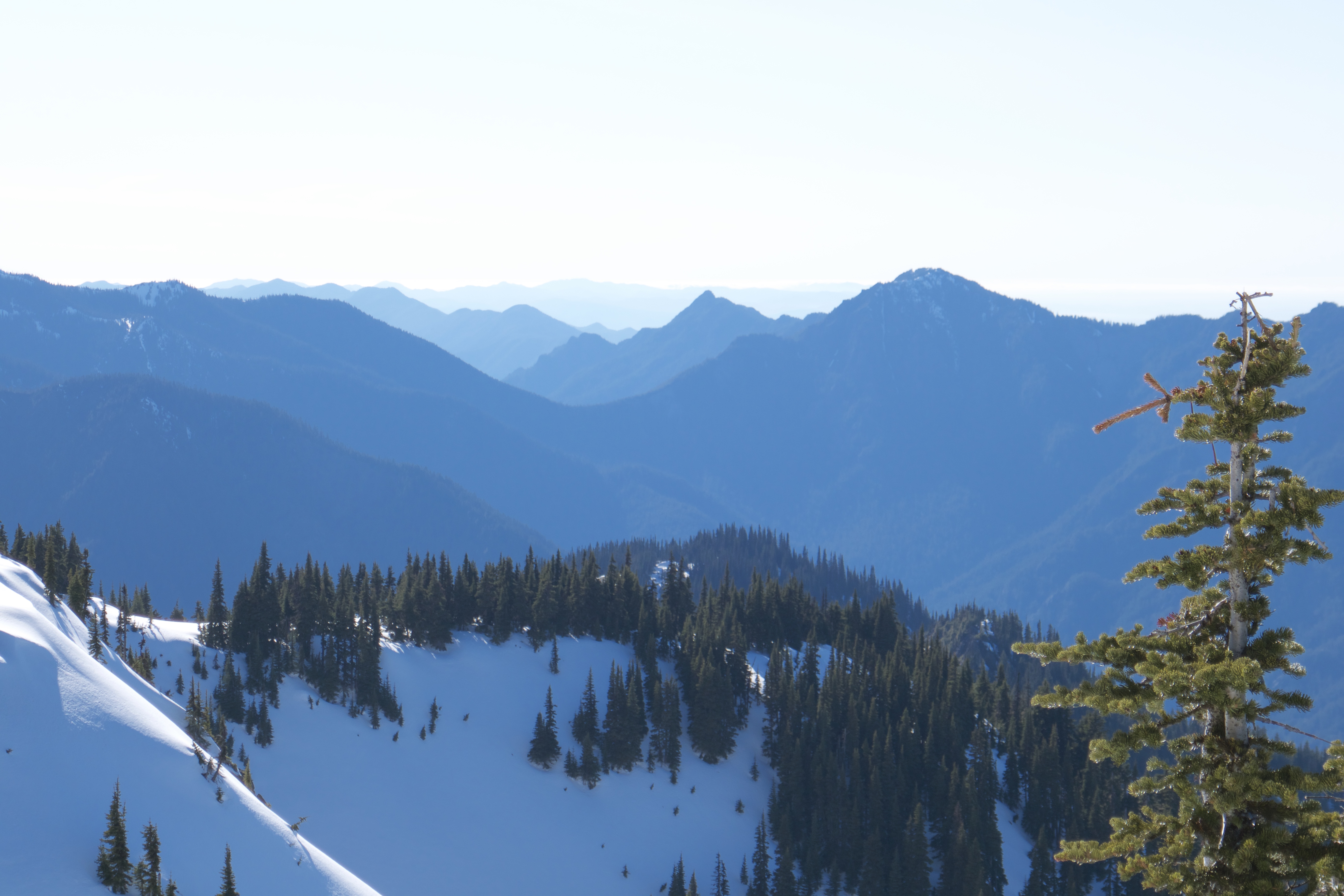
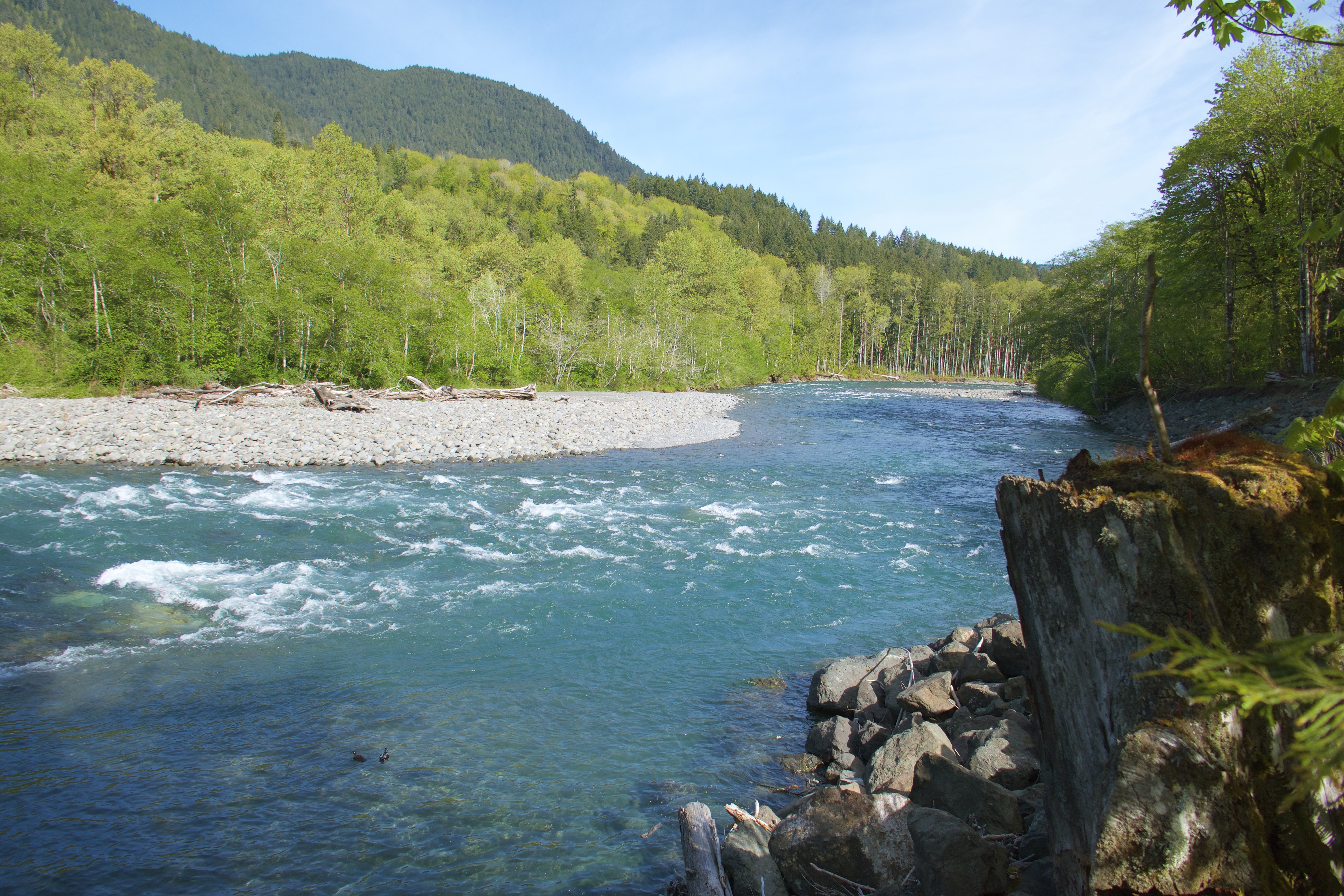
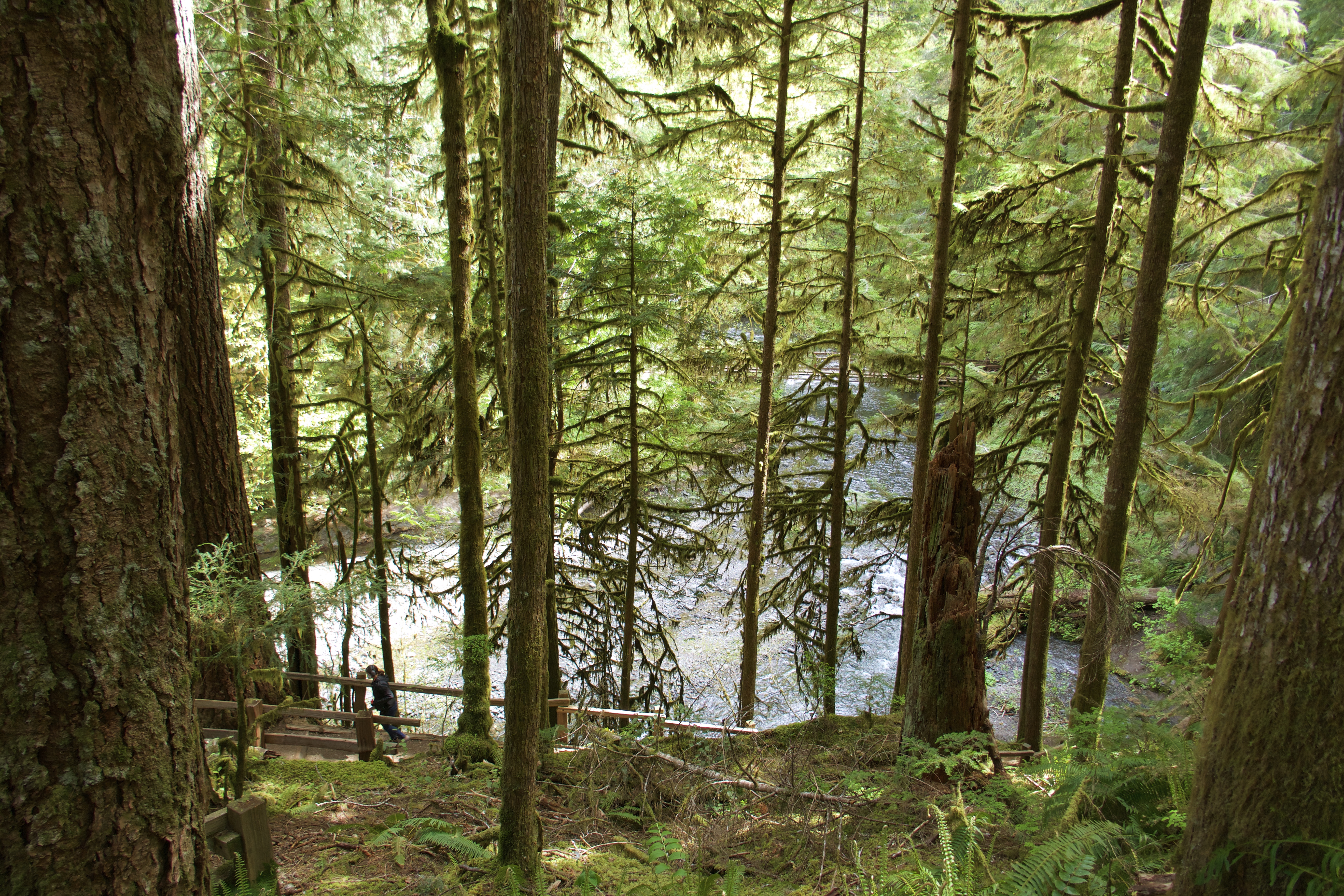
I think ONP must be a giant network of river valleys. It seemed like every road or trail we took ran beside a creek or river with looming walls of forest rising on each side. Olympic Hot Springs Road follows the sparkling-clear Elwha River.
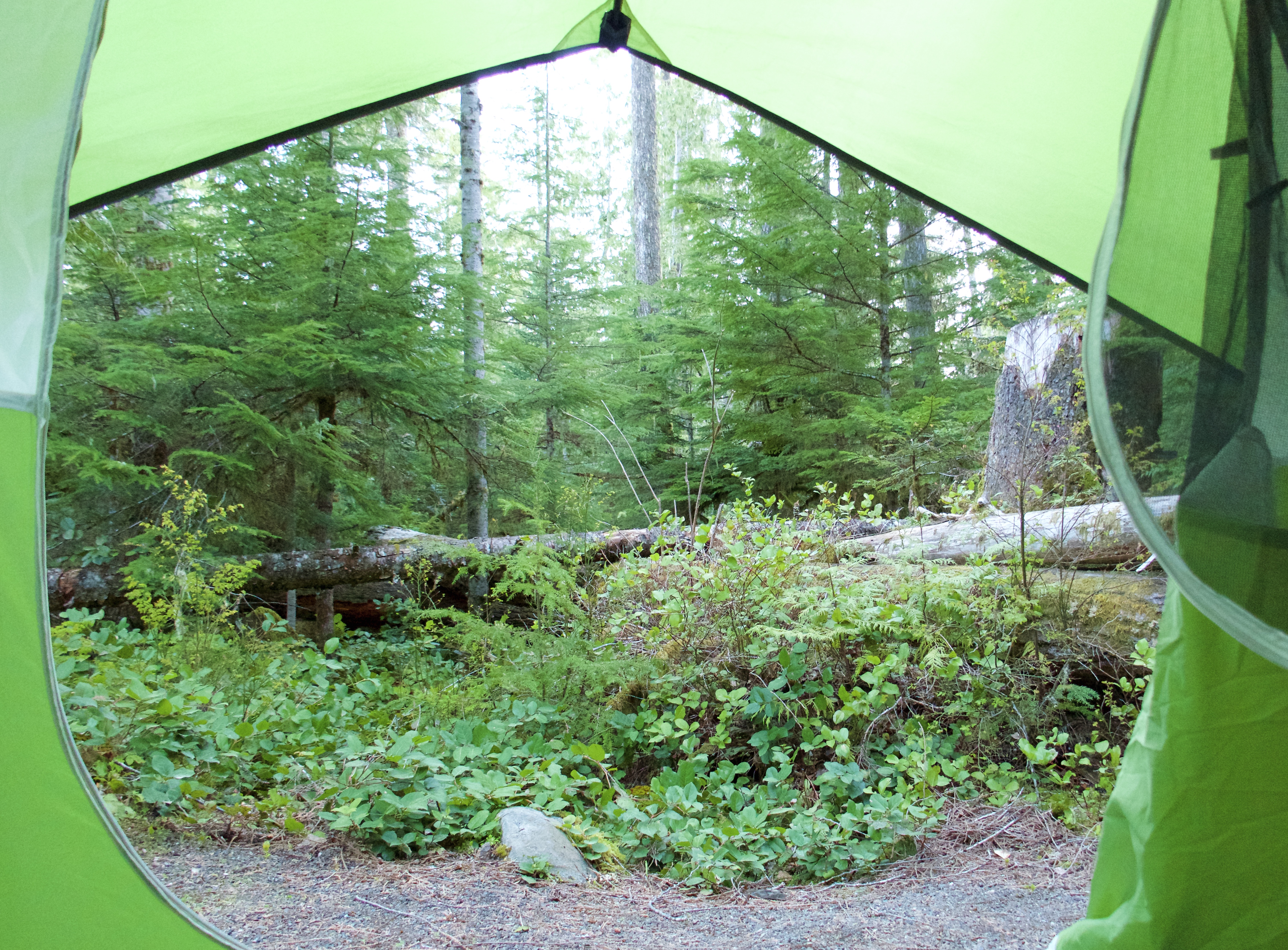
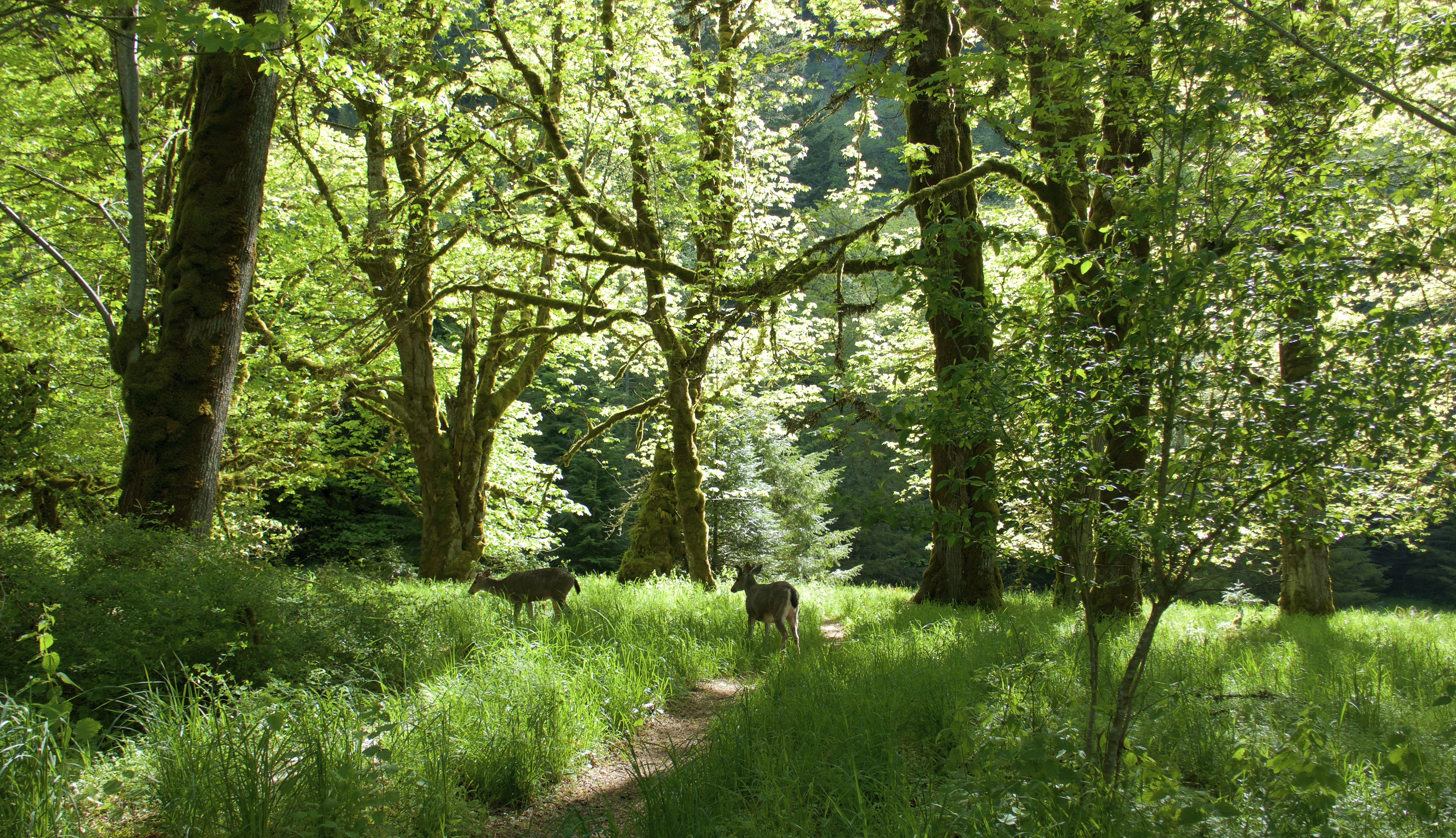
From the parking lot we found a short, paved trail through lush forest that glowed in the morning sunshine.
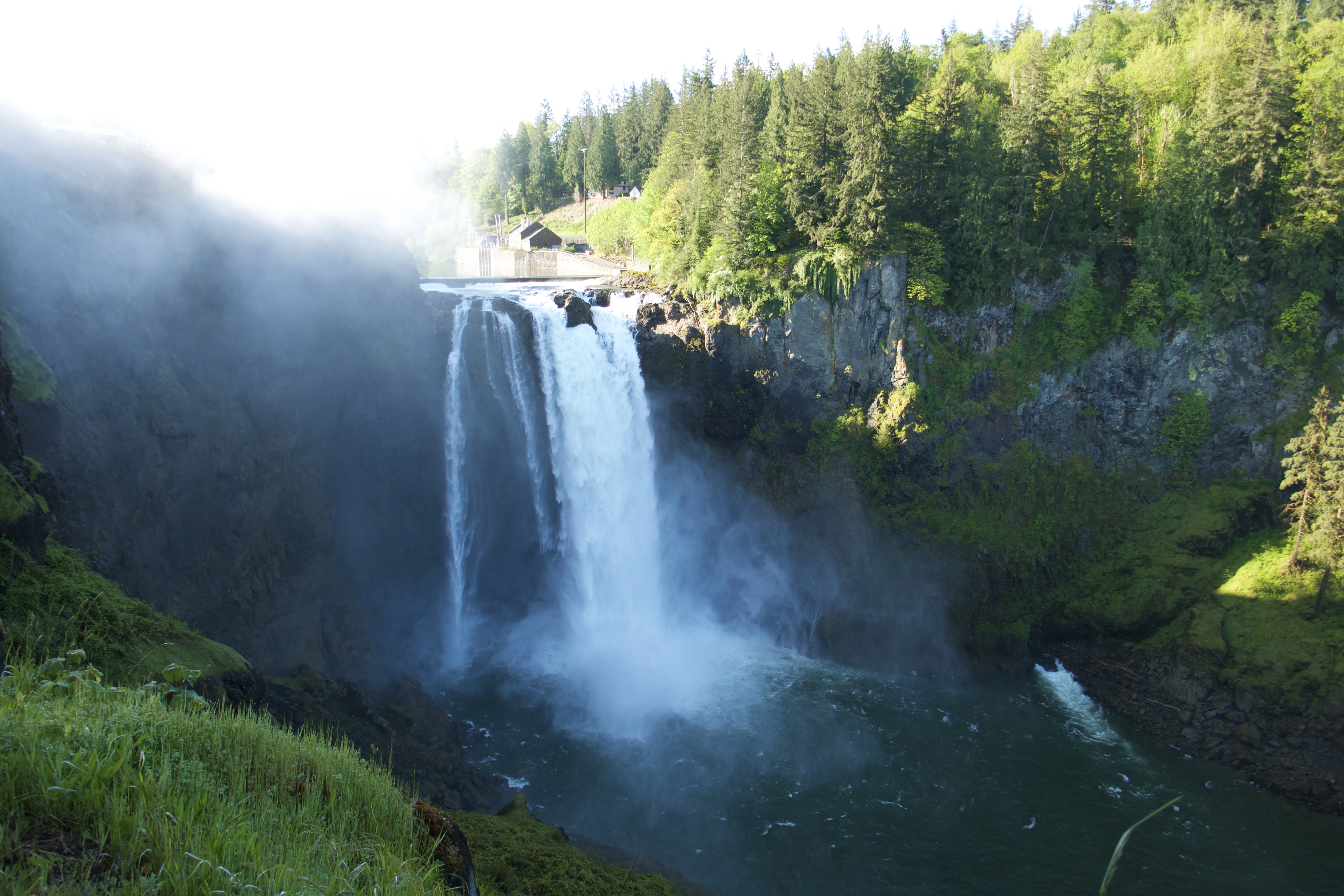
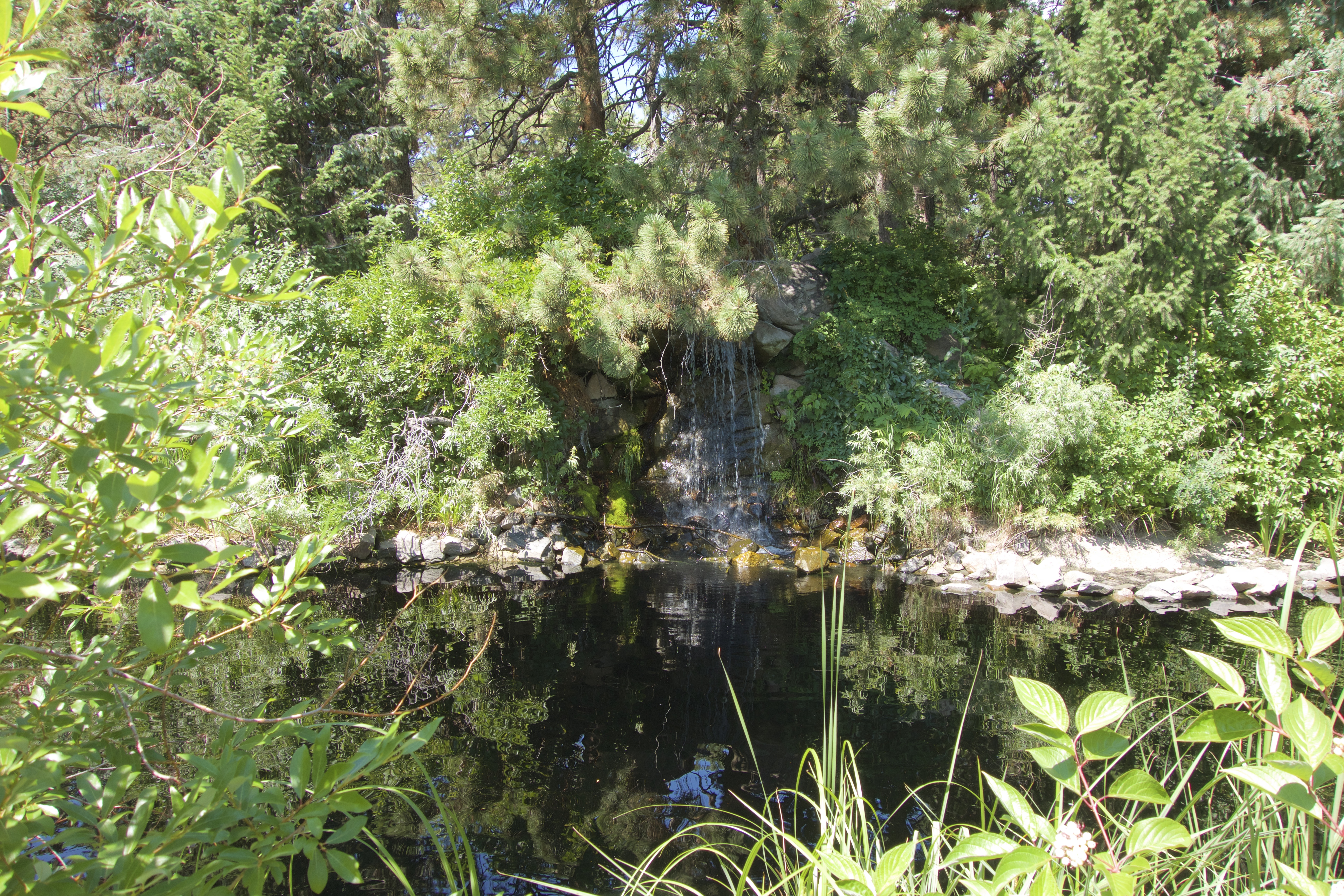
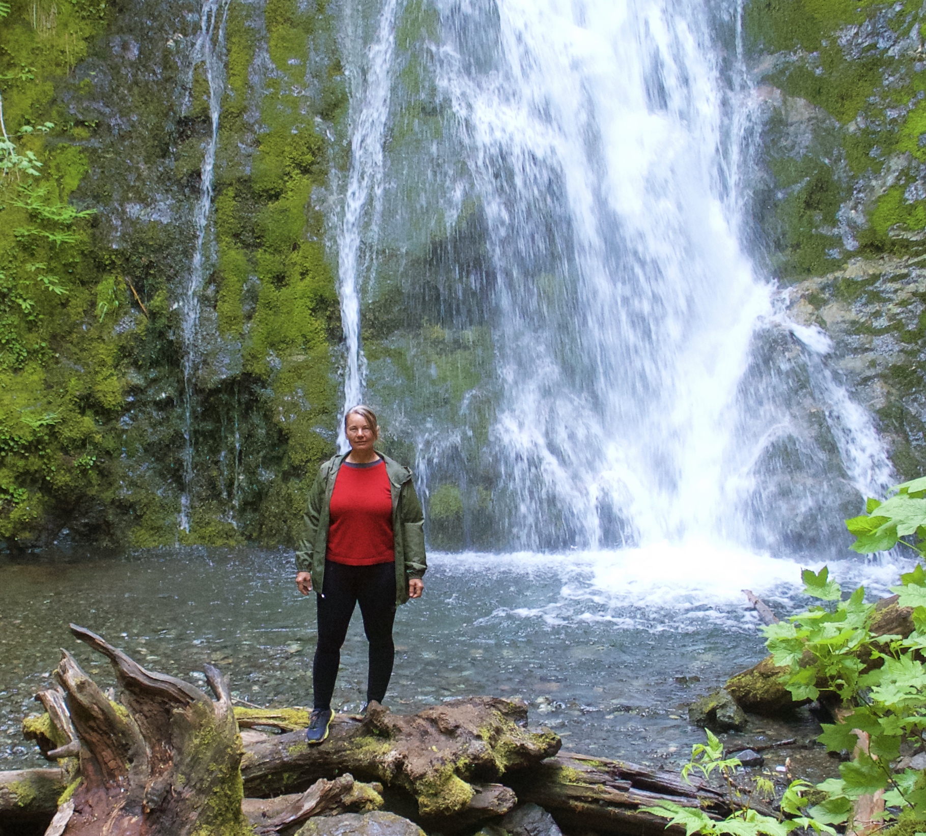
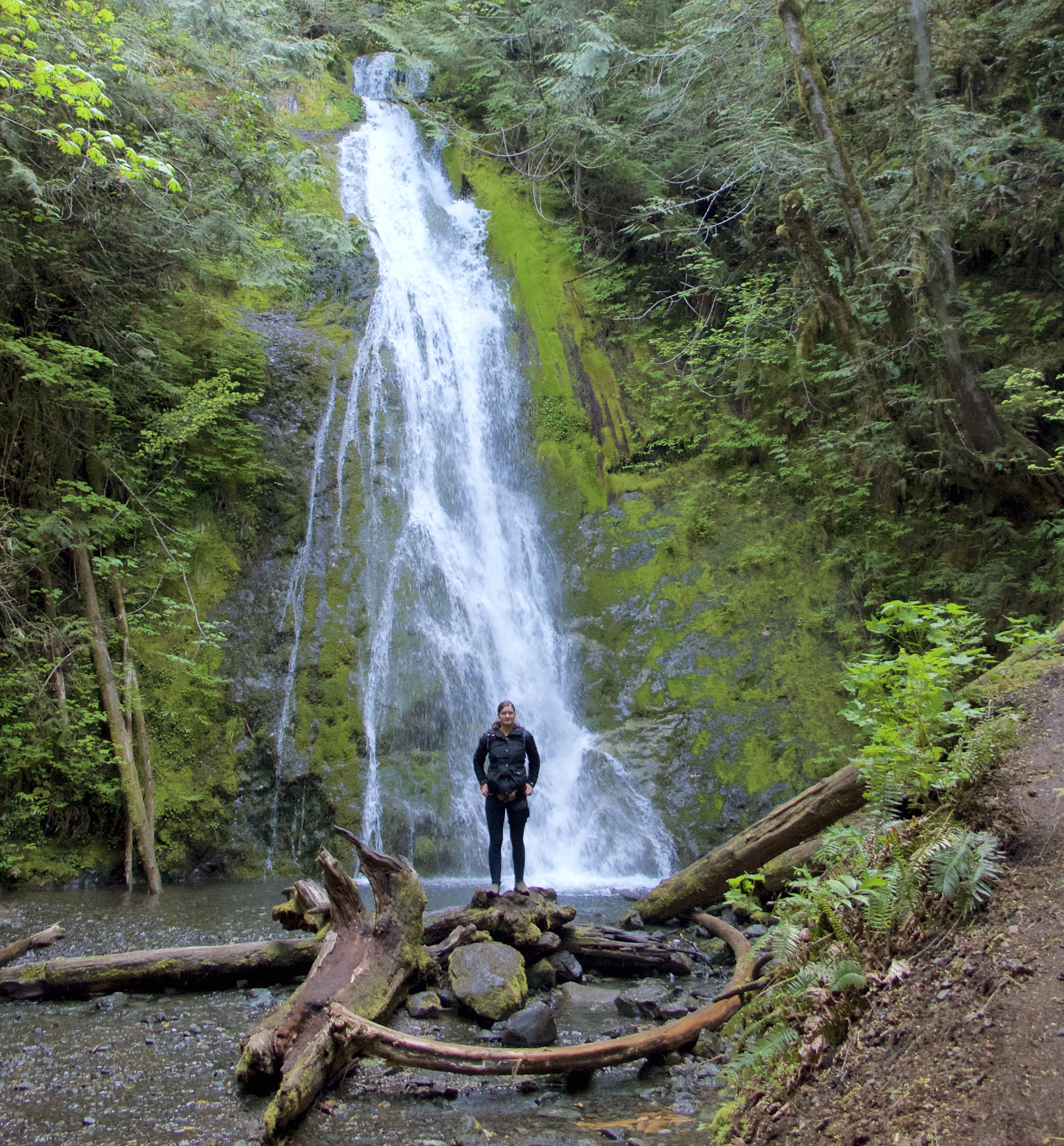
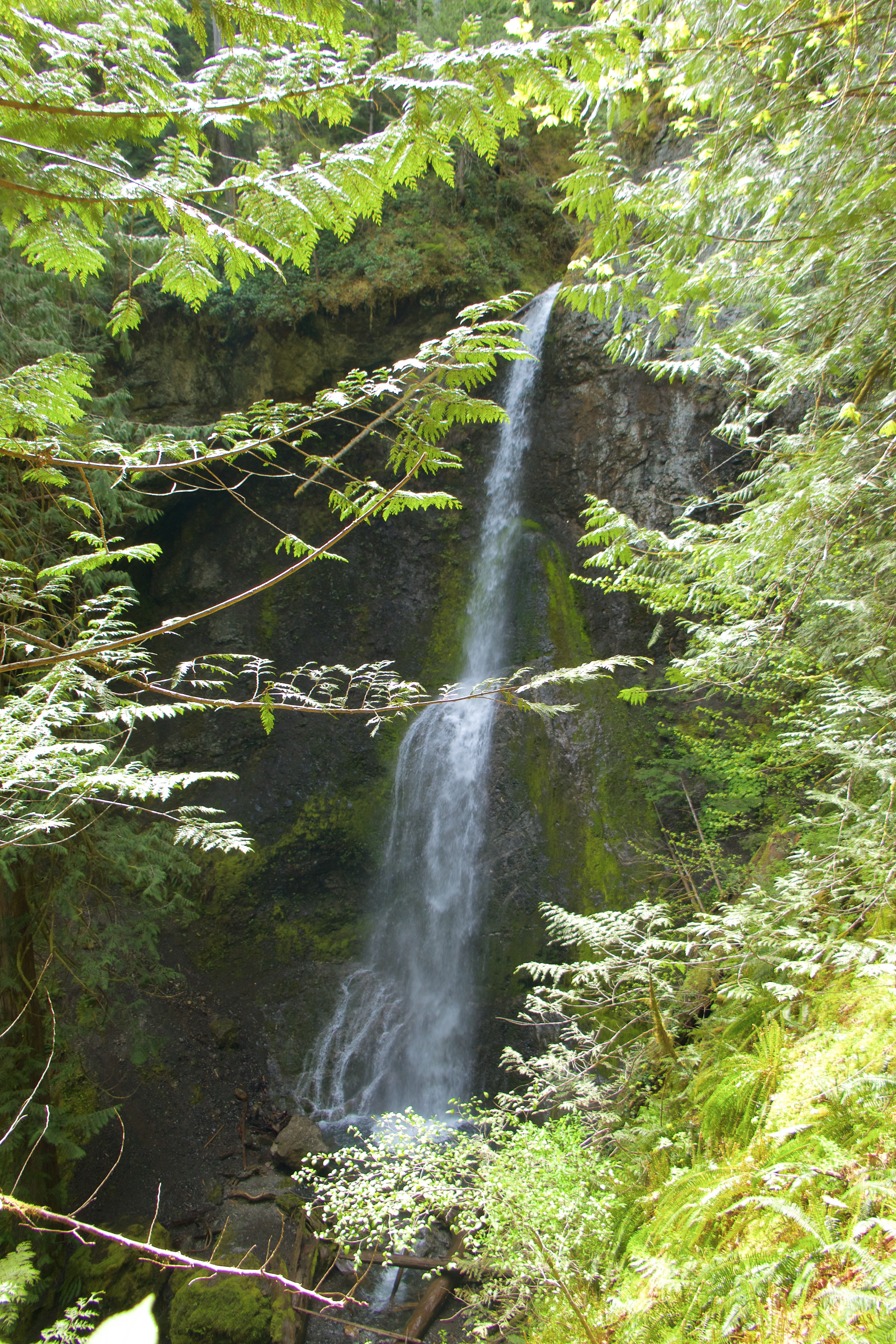
Madison Falls is very pretty; well worth the short walk.

It’s too bad photos and even videos can’t really capture the power of waterfalls. We saw some great ones, and none of them are represented well in these pics.

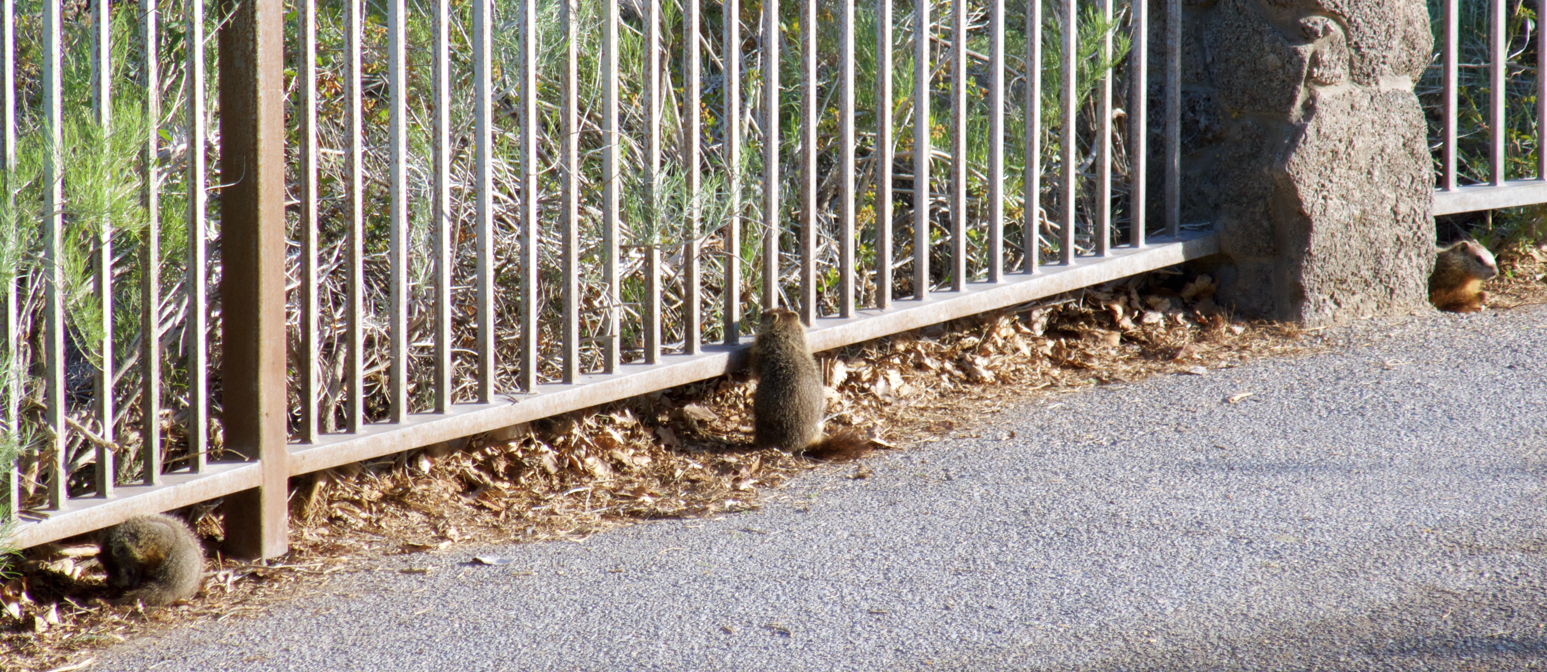
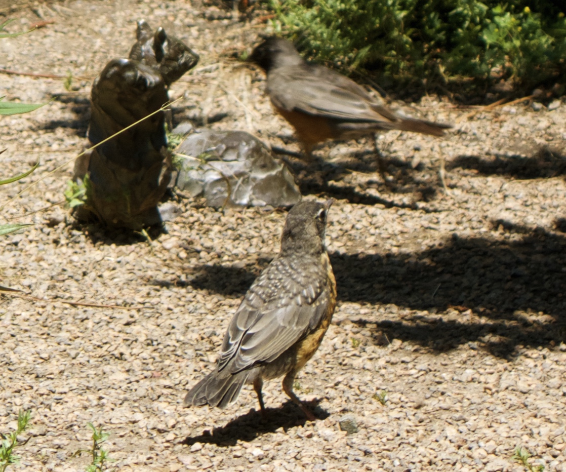
Luke found a cave.

After the Falls, we played in the river a bit and then drove back to the highway.

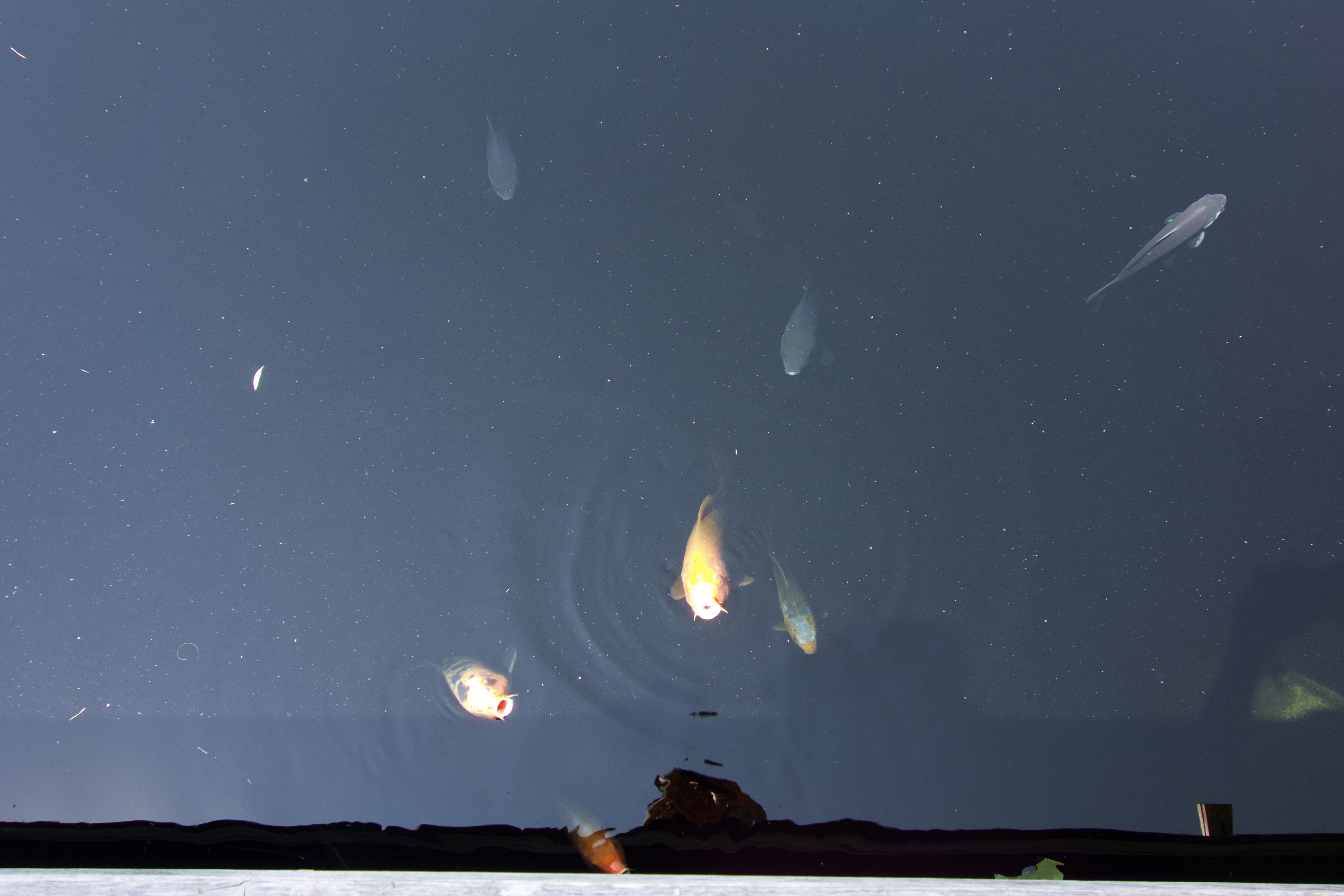
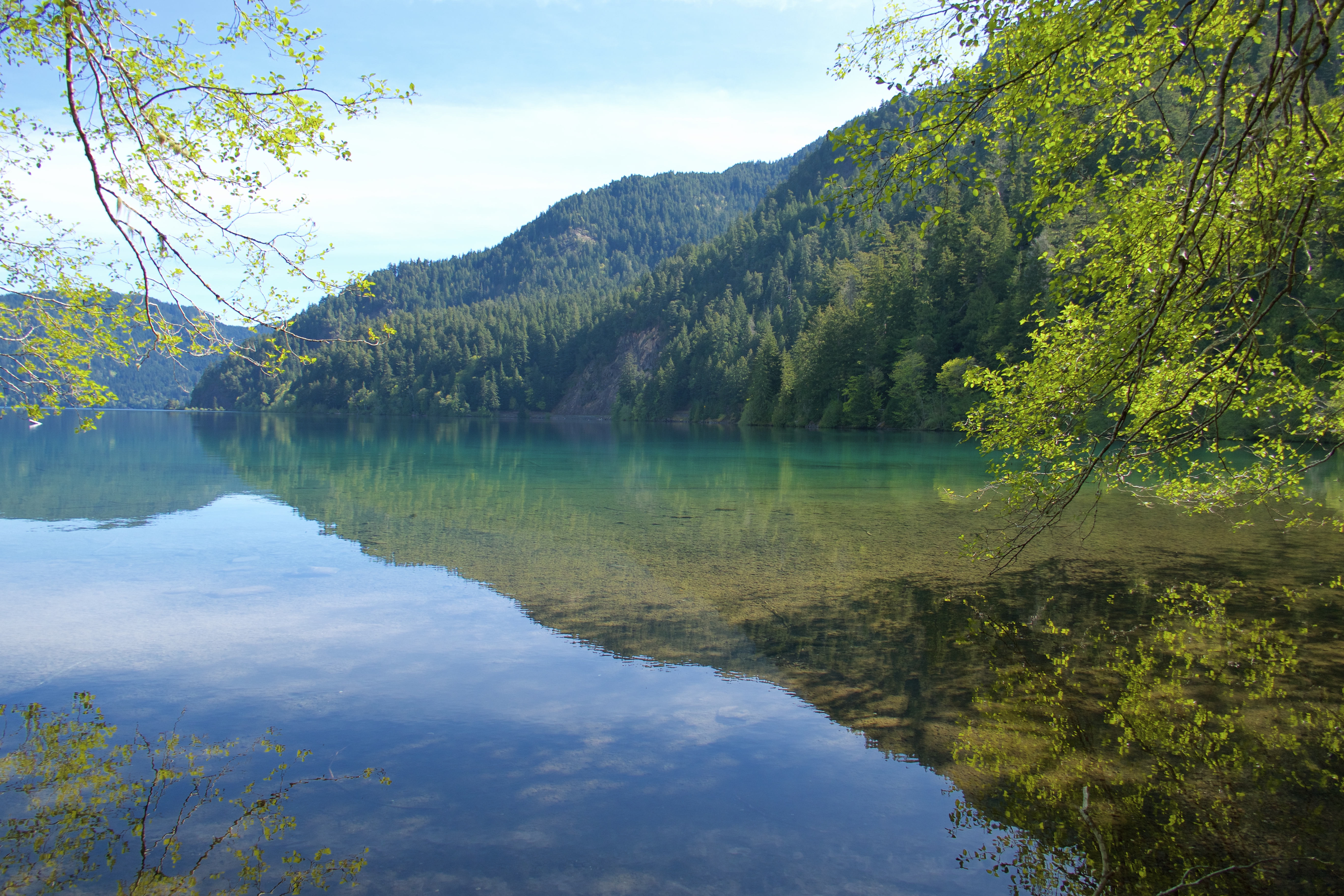
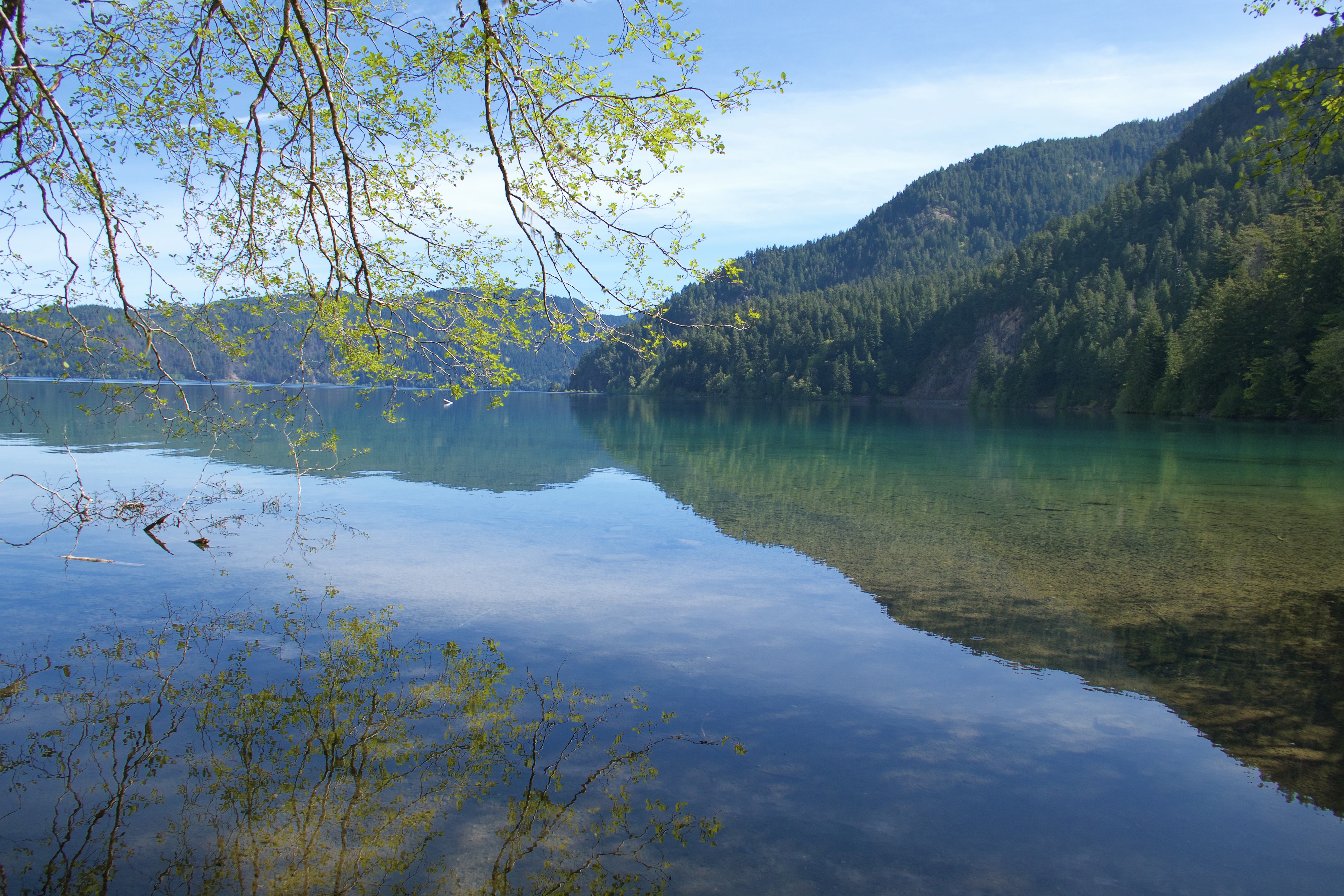
Our next stop was Lake Crescent, near the Marymere Falls trailhead. The waters of Lake Crescent are so crystal clear that they look like an optical illusion.
The trail to Marymere Falls is about a mile long and unpaved, following Barnes Creek through dense, mossy forest and across various wooden bridges and staircases.
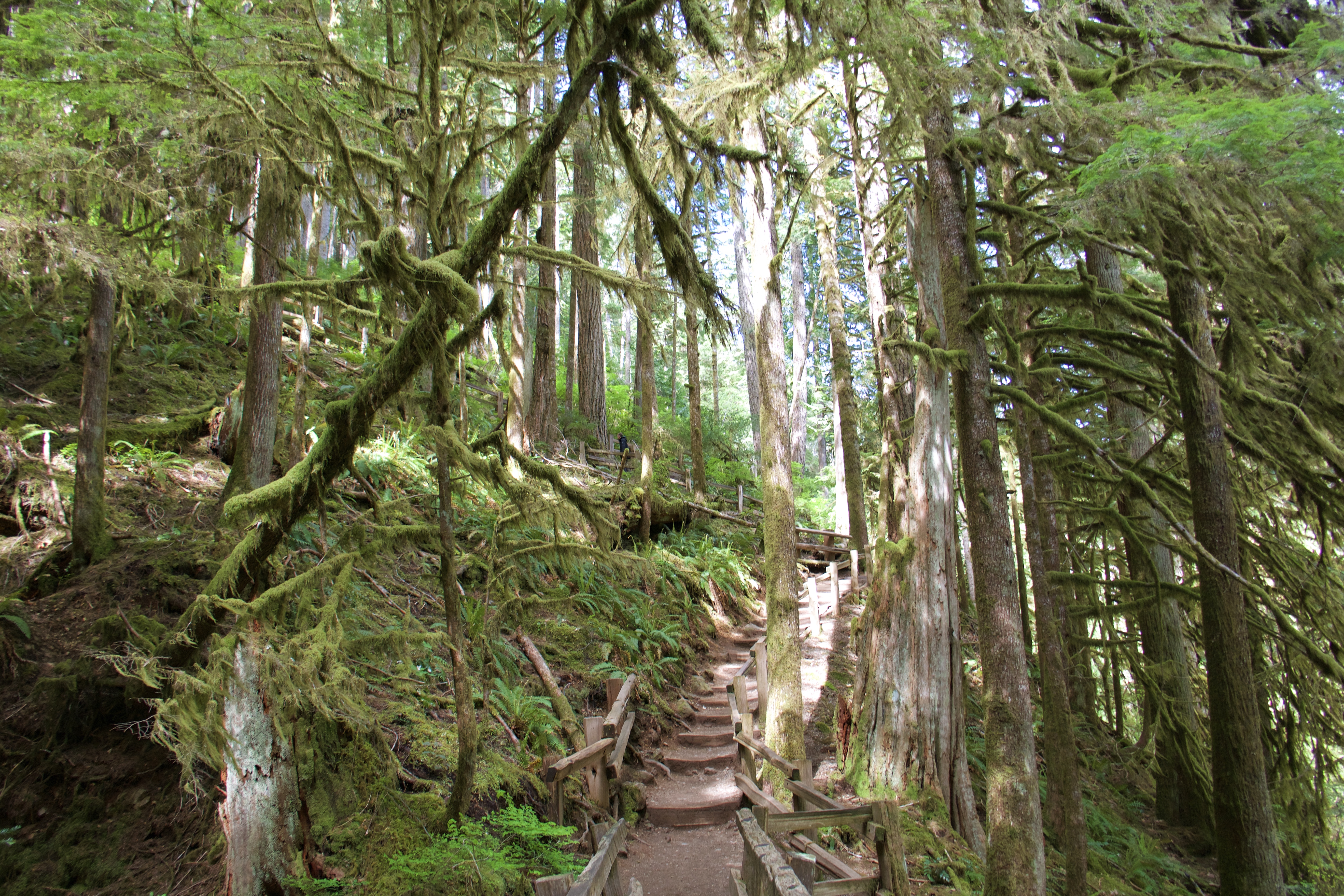


Marymere Falls is hard to photograph well. It’s a lot bigger than it looks in this pic.
By then we’d worked up an appetite, so we drove up the road to Lake Crescent Lodge for lunch.
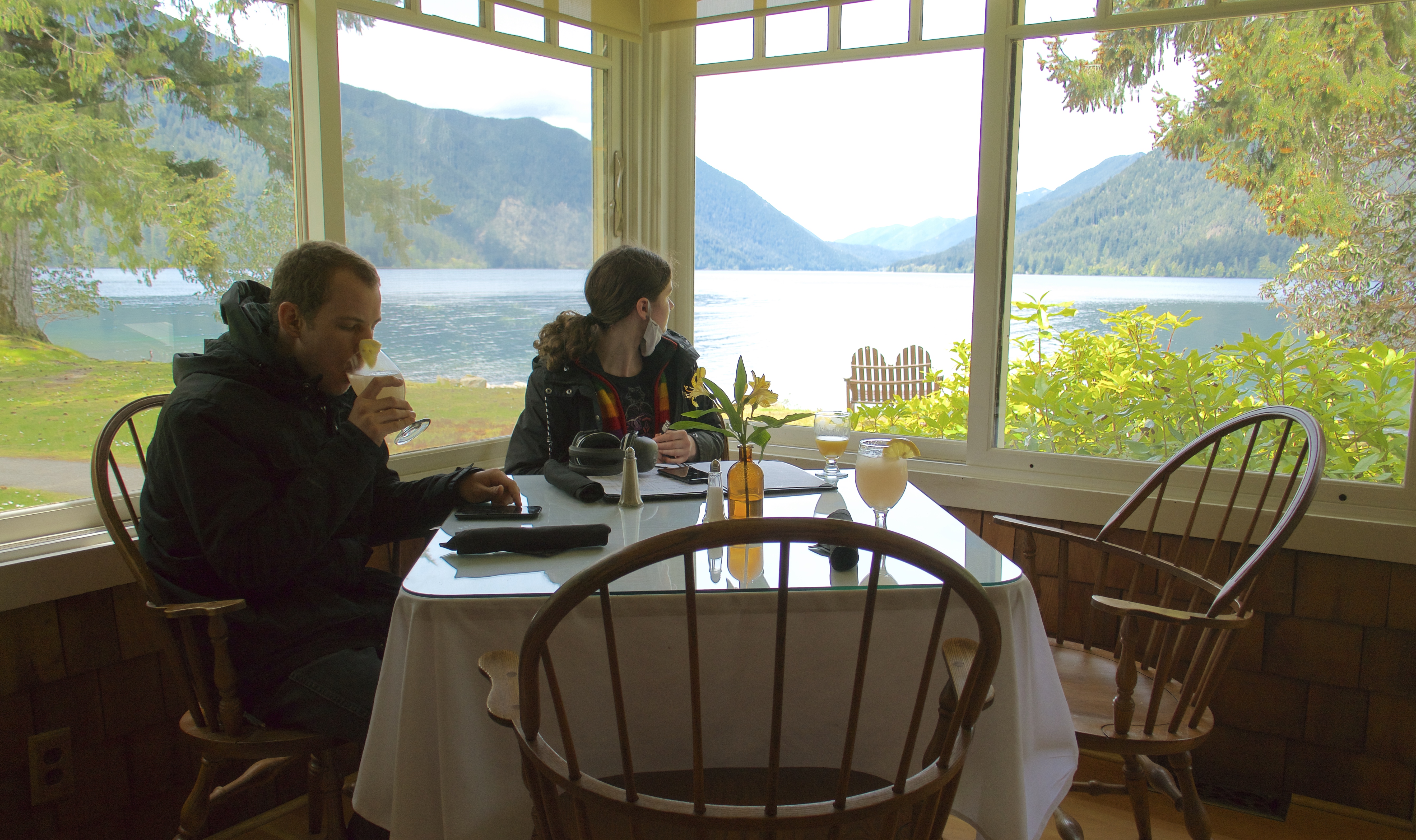
This meal began a trend that continued for as long as we followed the Pacific coast: fresh seafood and berry cobblers. Wild berries are ubiquitous and prolific in the Pacific Northwest; we saw them everywhere. And they are preserved and served in delicious cobblers in almost every restaurant we visited.
This was also the meal where we discovered that we’re not fans of raw oysters. But I highly recommend the lodge’s lavender lemonade, it’s amazing.
We had planned to spend Sunday night at Fairholme Campground on the shores of Lake Crescent. But we were so far ahead of schedule that it made no sense to stop. Luckily Fairholme is another first-come-first-served campground, so there were no reservations to forfeit. On to the next access road, a Forest Service road that follows the Sol Duc River and connects to Sol Duc Hot Springs Rd. We stopped in at Sol Duc Hot Springs Resort to reserve a soak in their hot pools later in the afternoon. Then on down the road to the Sol Duc Falls trailhead.
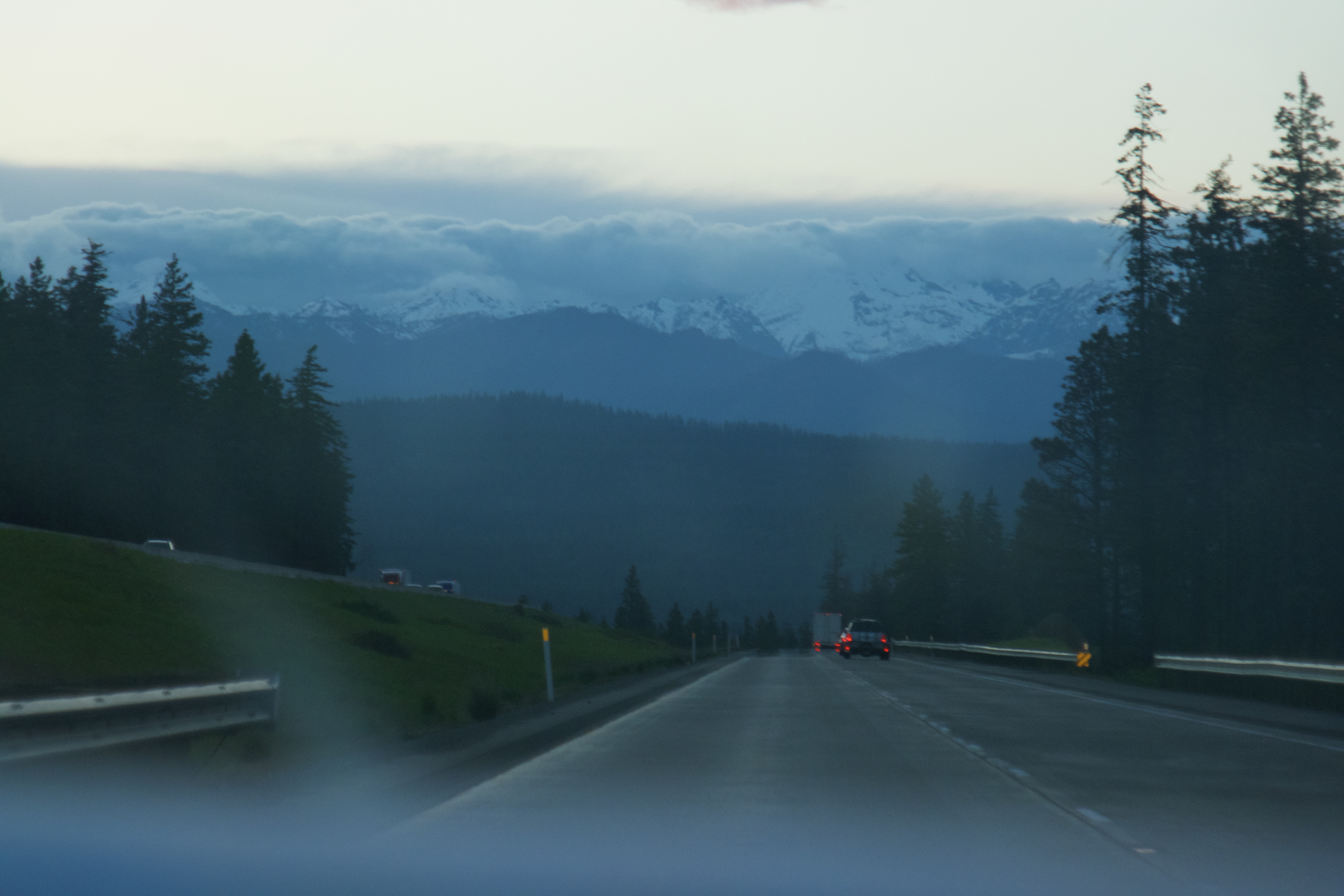
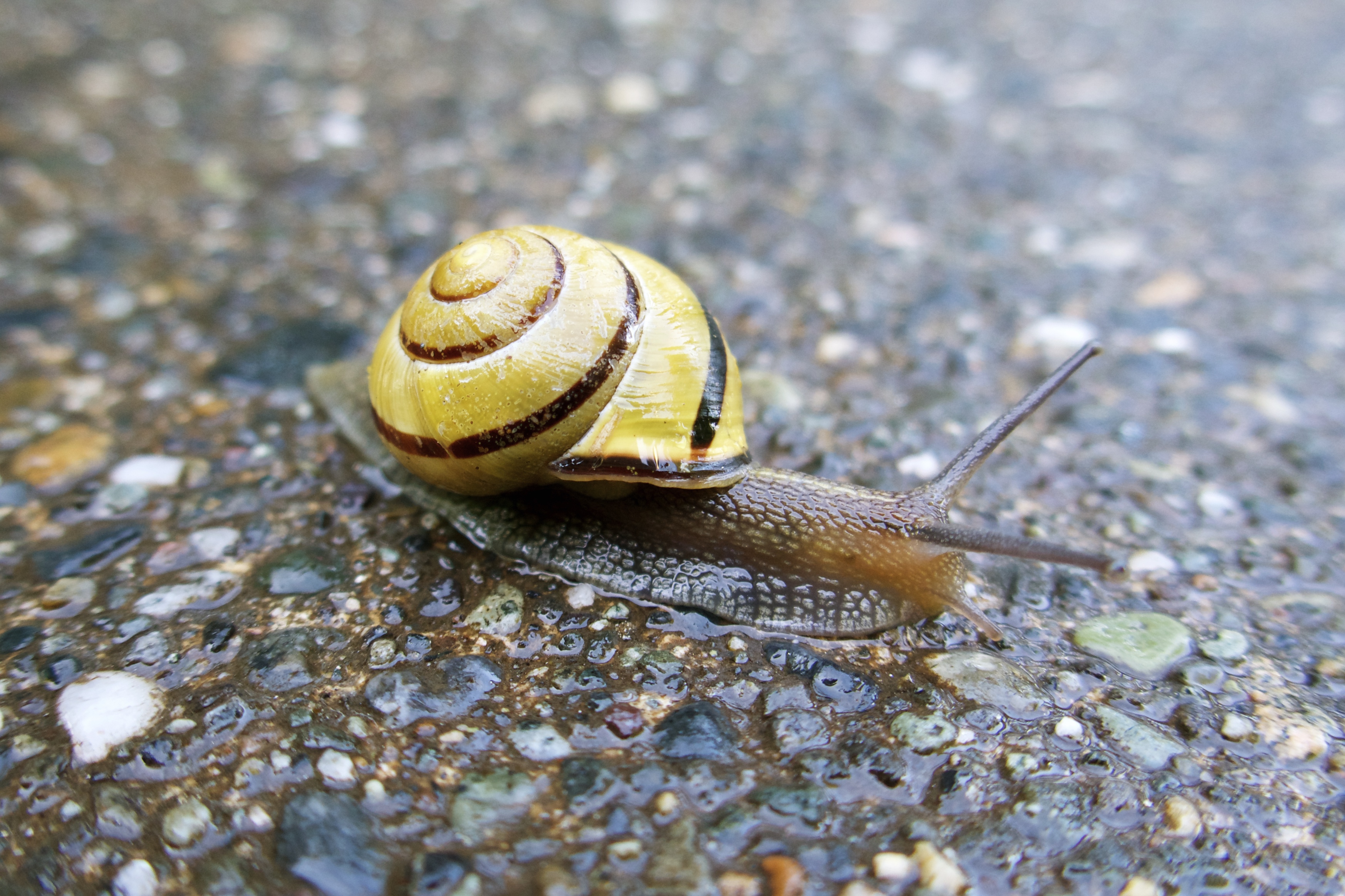
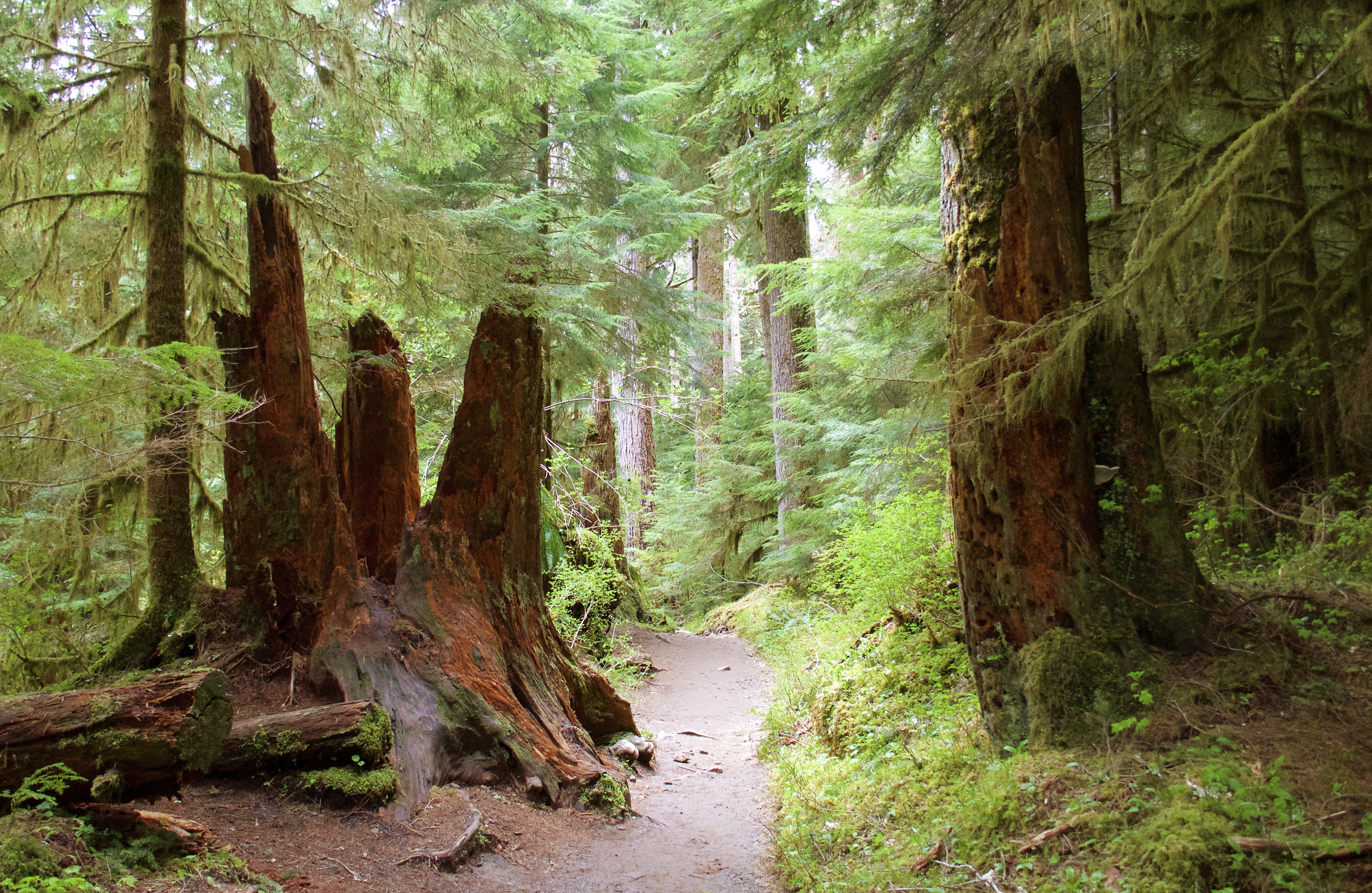
The farther south we drove, the more lush and jungly the trails became. I started to wish for rain, because I feel like that’s the best way to experience these rainforesty woods. The weather alternated between sunny and misty overcast, but no actual rain.
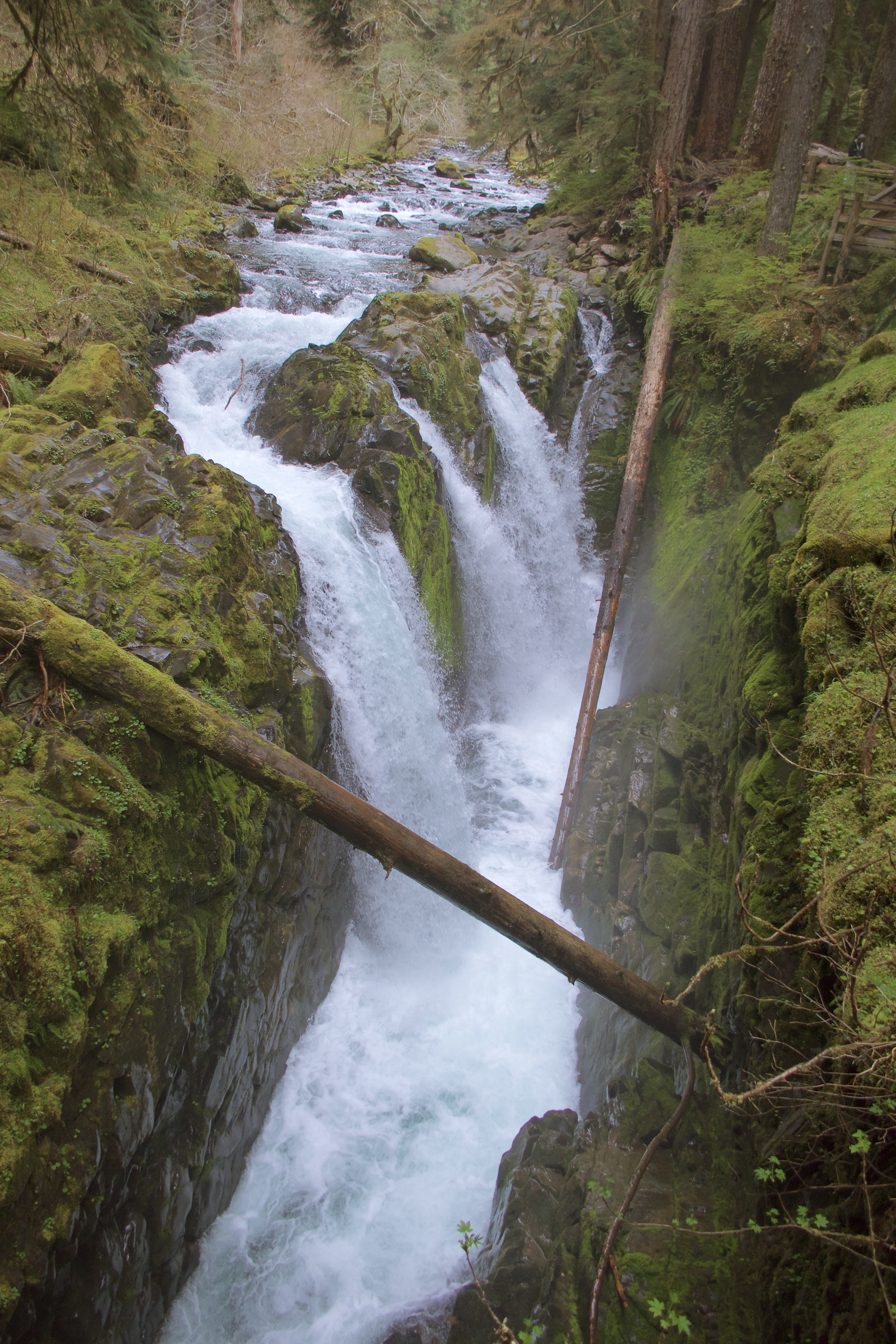
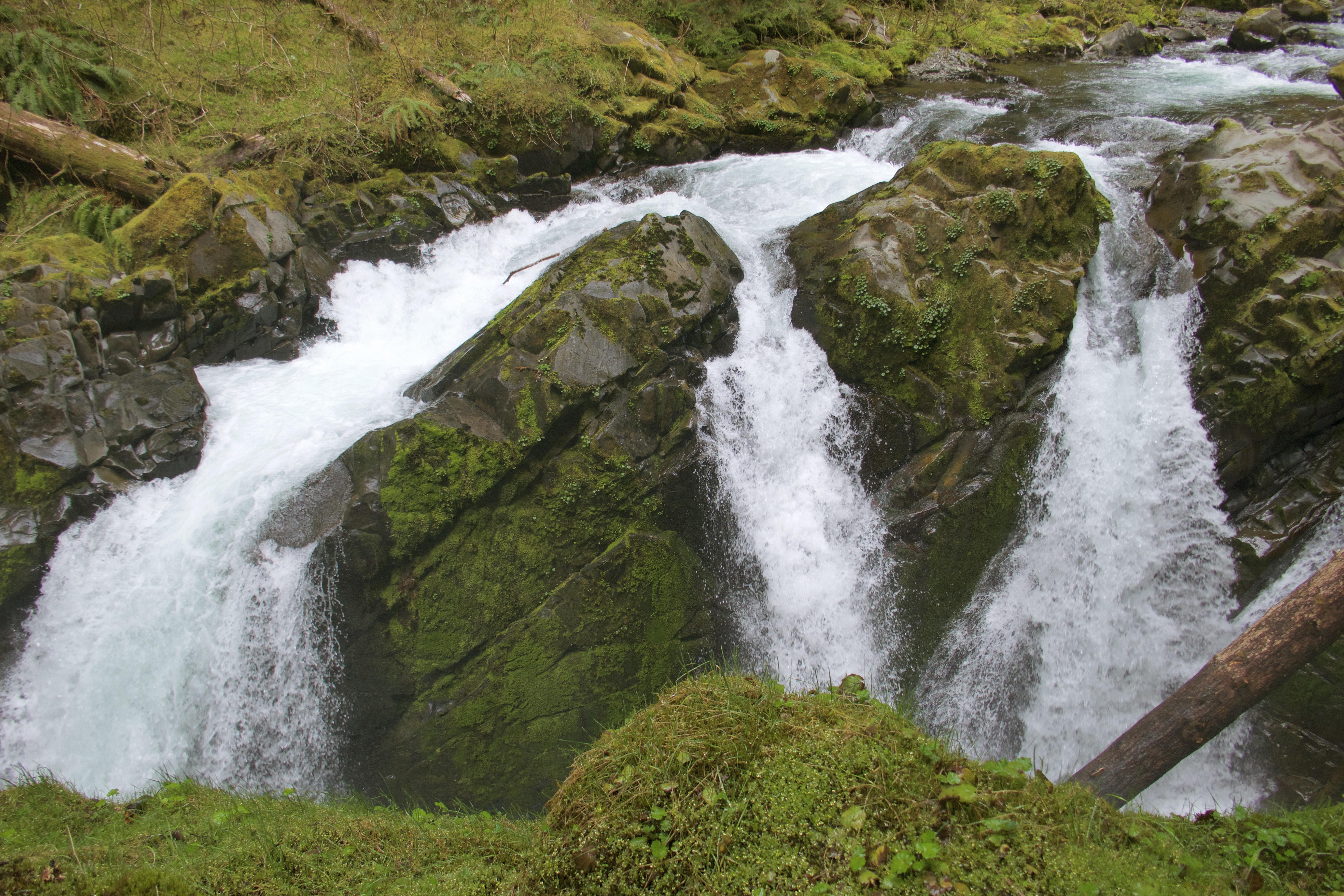
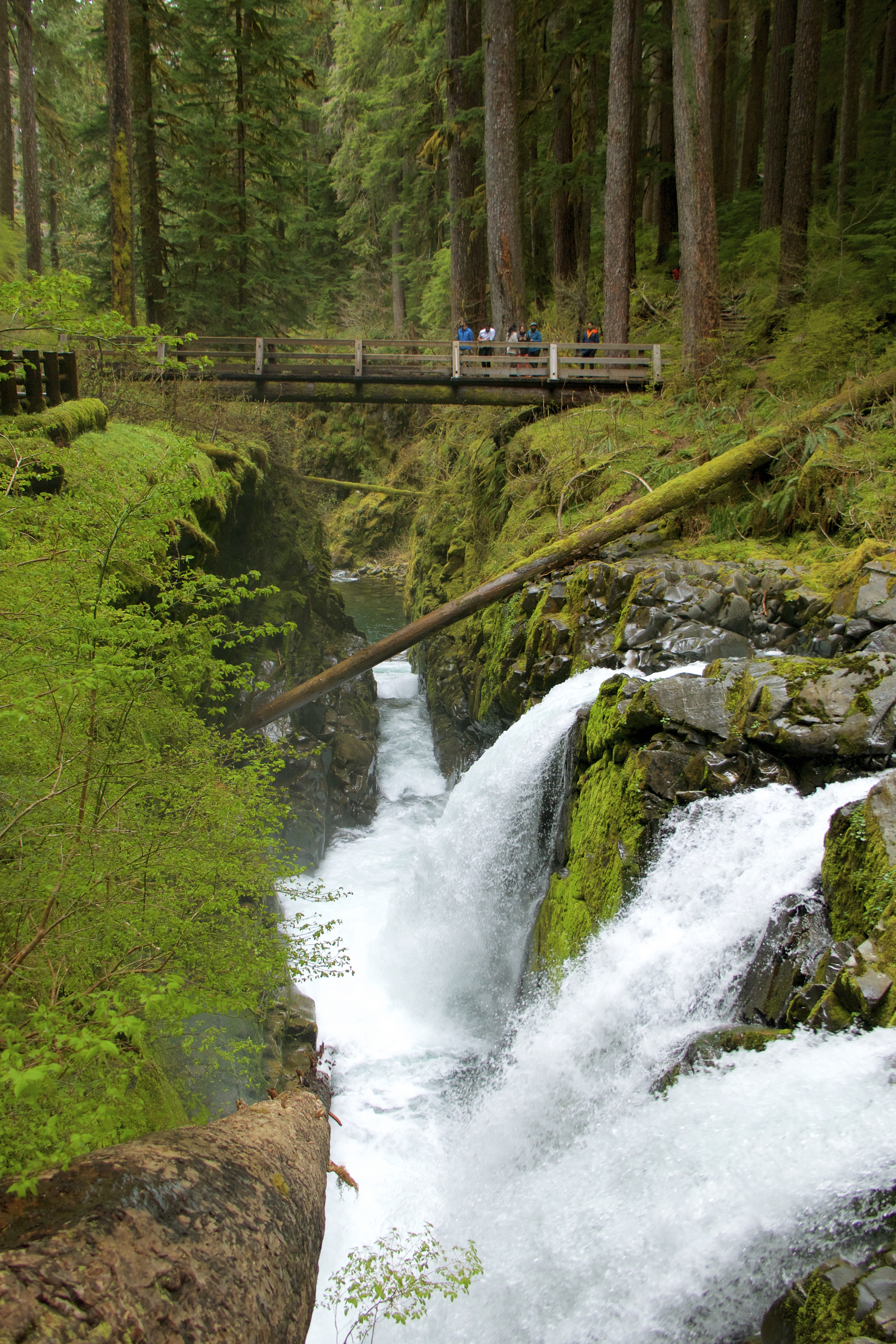
The trail to Sol Duc Falls is just under a mile and very tropical.
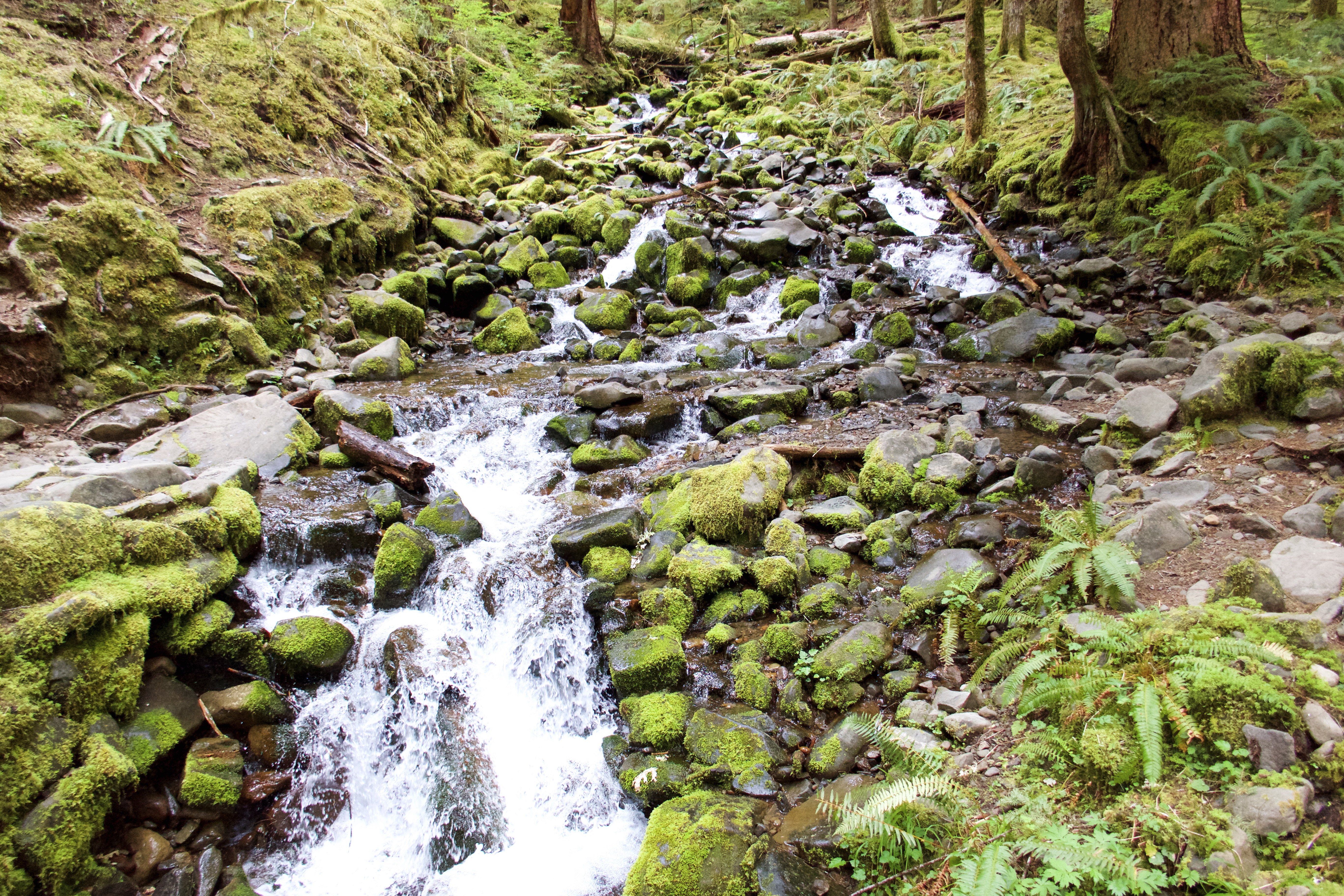
A pretty creek crossing:
Sol Duc is another beautiful, hard-to-photograph waterfall.
After the Falls we returned to the resort for a blissful 90 minutes in the hot springs. The hot untreated pools smelled like sulfur and felt like heaven.
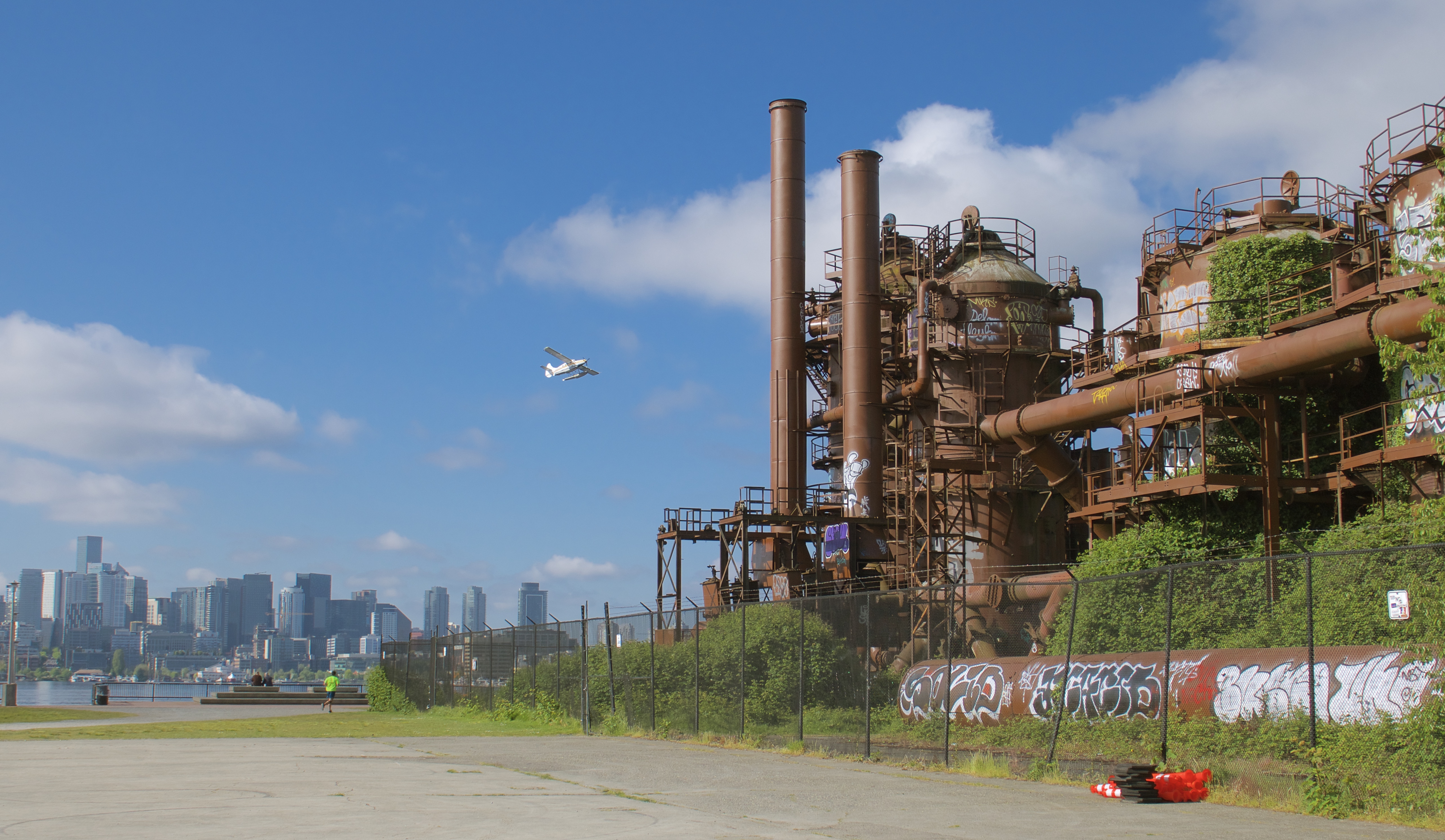
I forgot to mention in my last post that we did stop at a TA travel center in Snoqualmie for showers. We aren’t complete barbarians. And we showered at the resort before we got in their pools. In case any of my gentle readers were worried.
Thus refreshed, we headed back to the 101. It was late in the afternoon by then, and we were starting to think about where to spend the night. We drove through the town of Forks, where the Twilight vampires live, passed up a few campgrounds because it wasn’t quite time to stop yet, and then took the access road toward the Hoh Rainforest. This worked out perfectly: there is a visitor center, a campground and several trailheads all in a clump here. Had no problem finding an empty site at Hoh Campground. We were so tired and relaxed from hikes and hot springs that we didn’t bother to set up the tent, just put our open food into the campsite bear box and slept in the car.
Next up: rainforests!