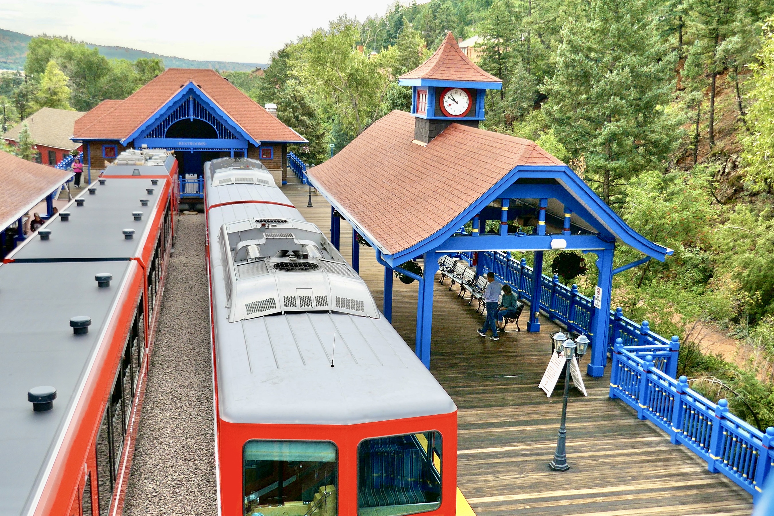
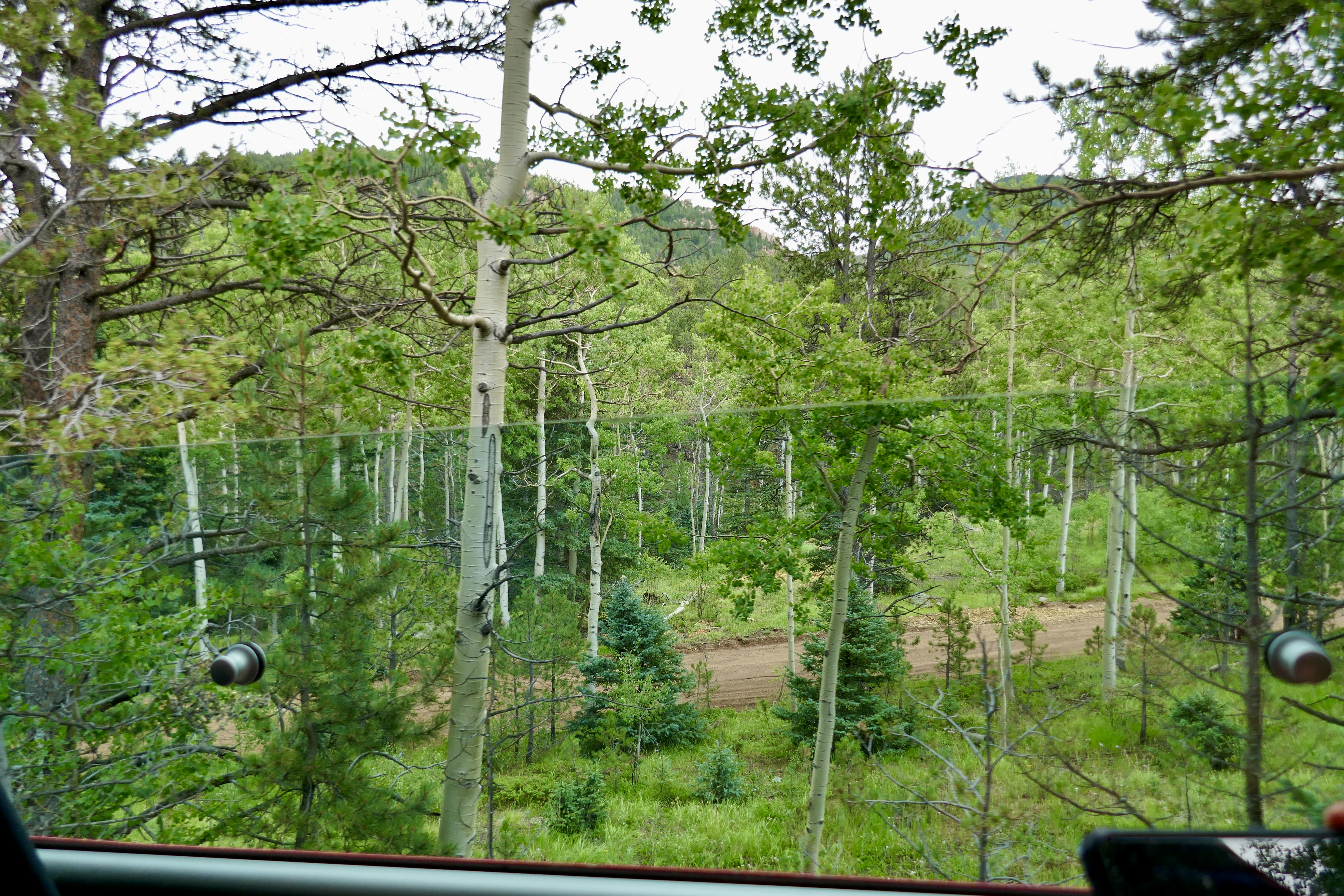
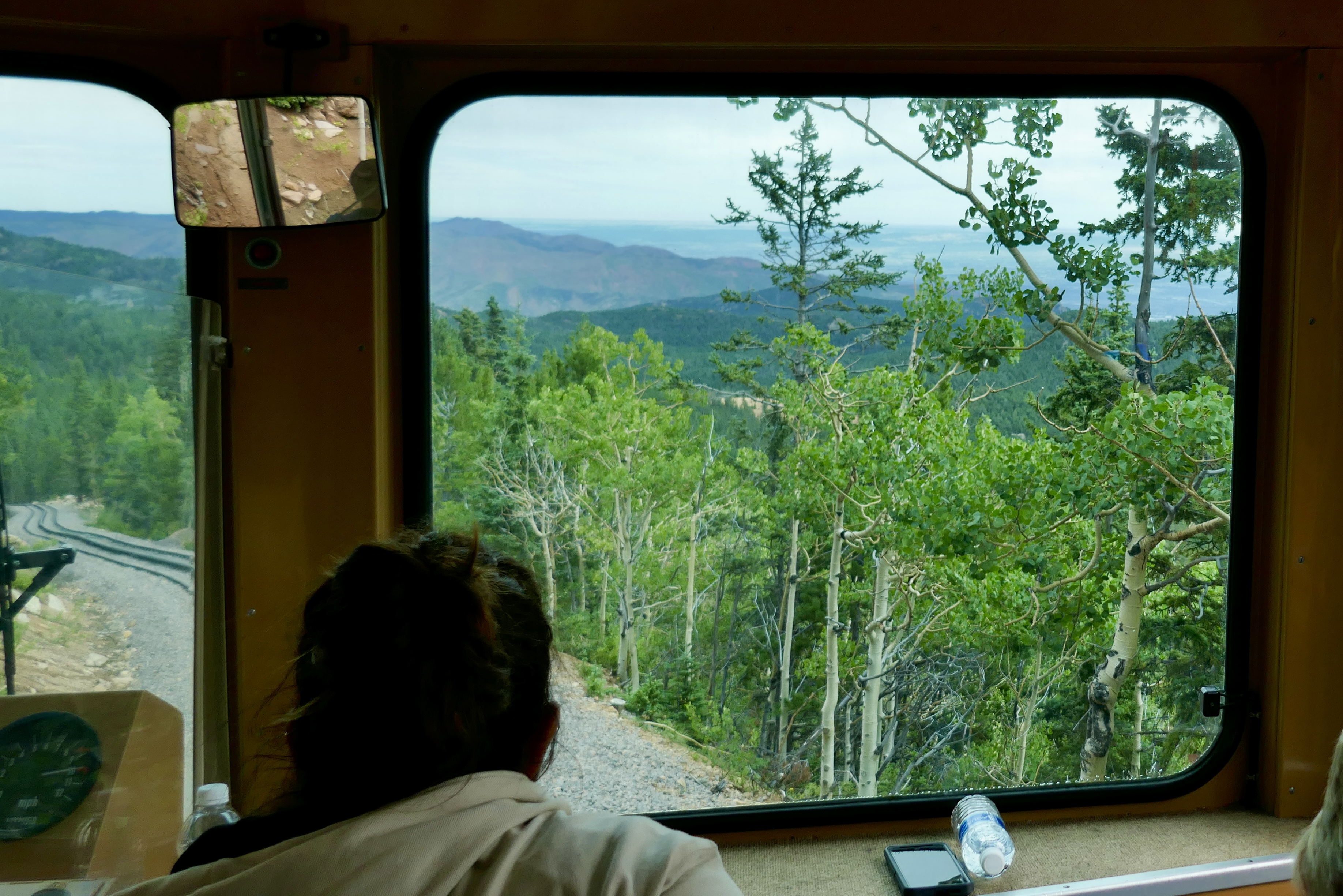
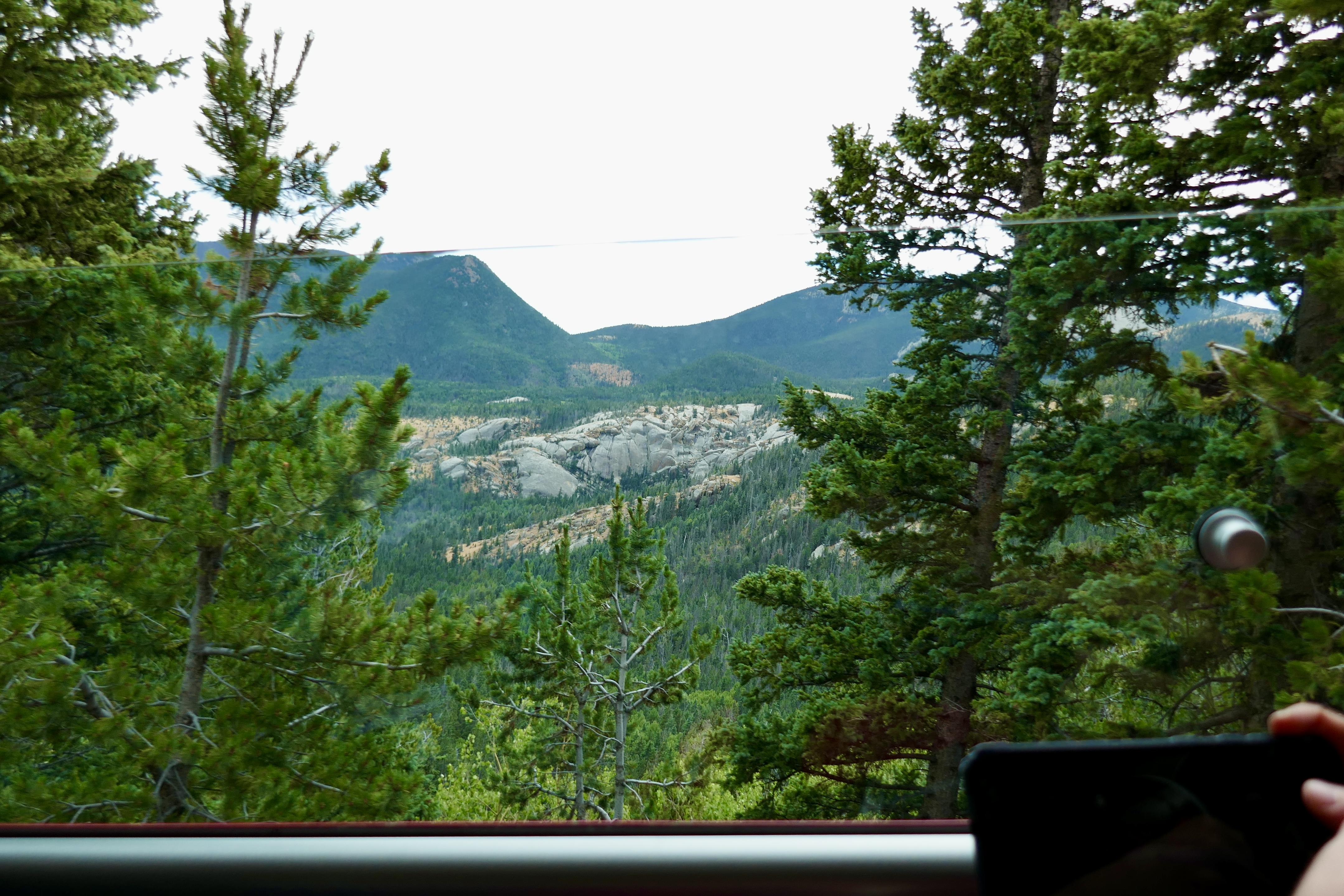
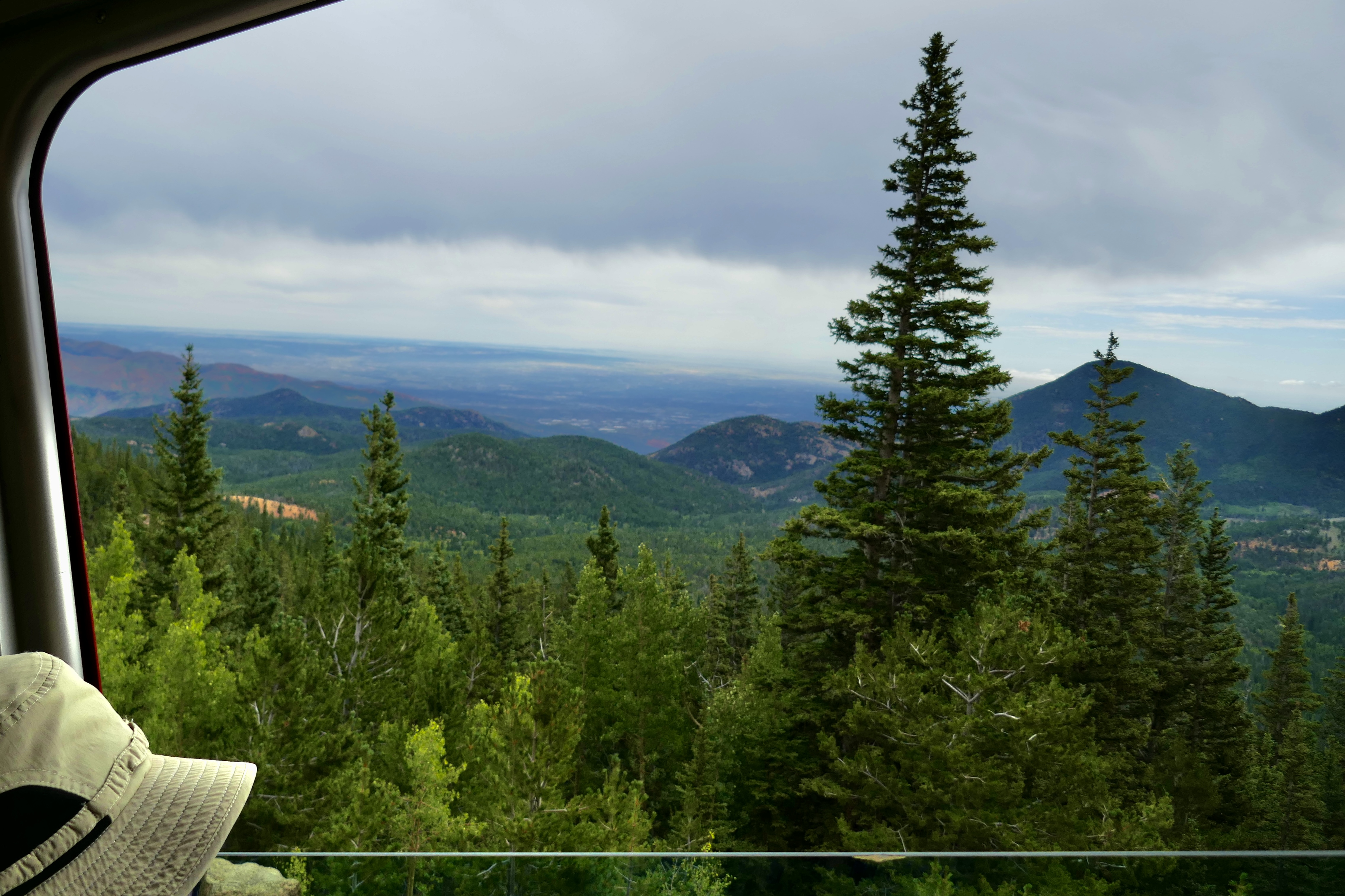
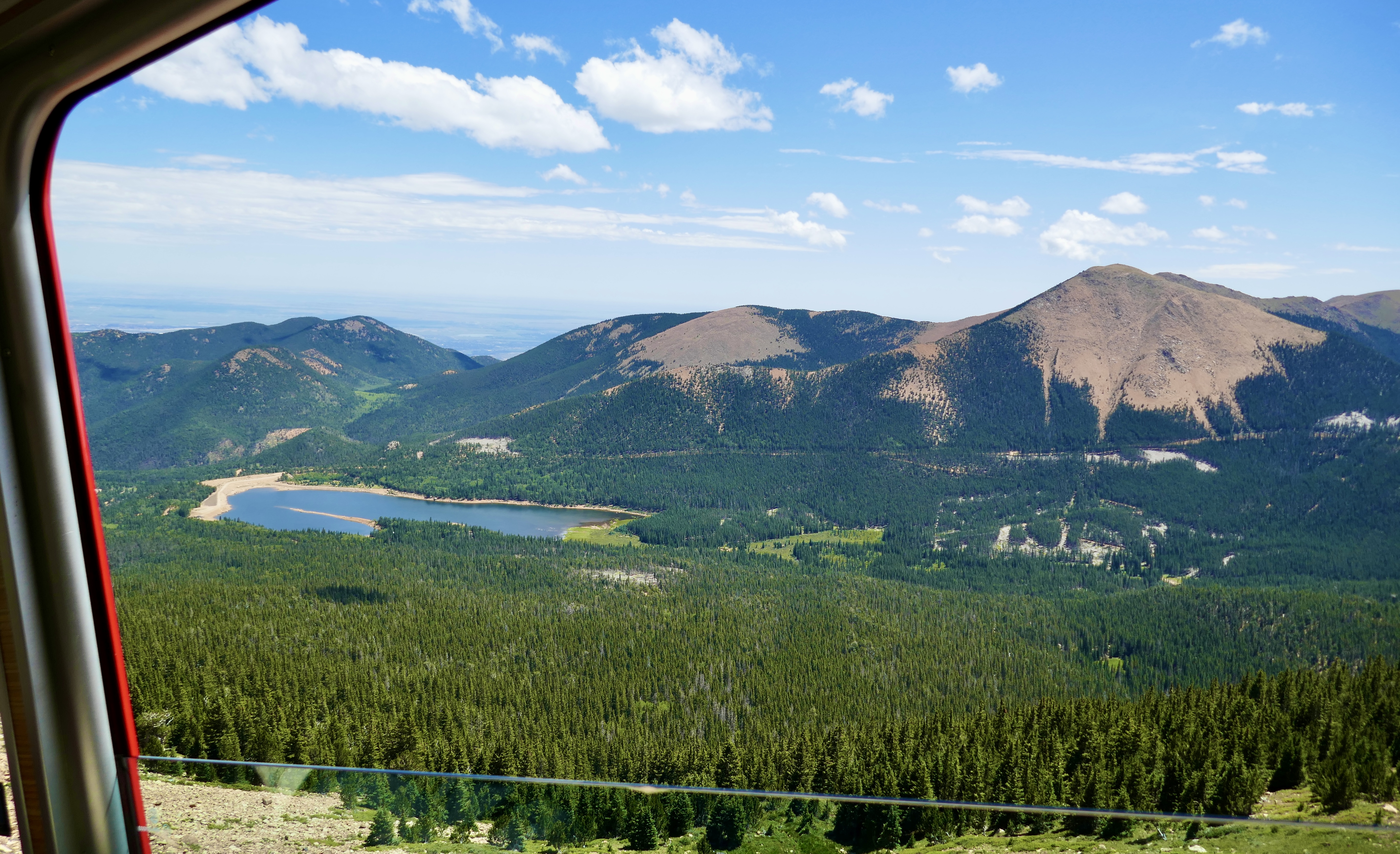
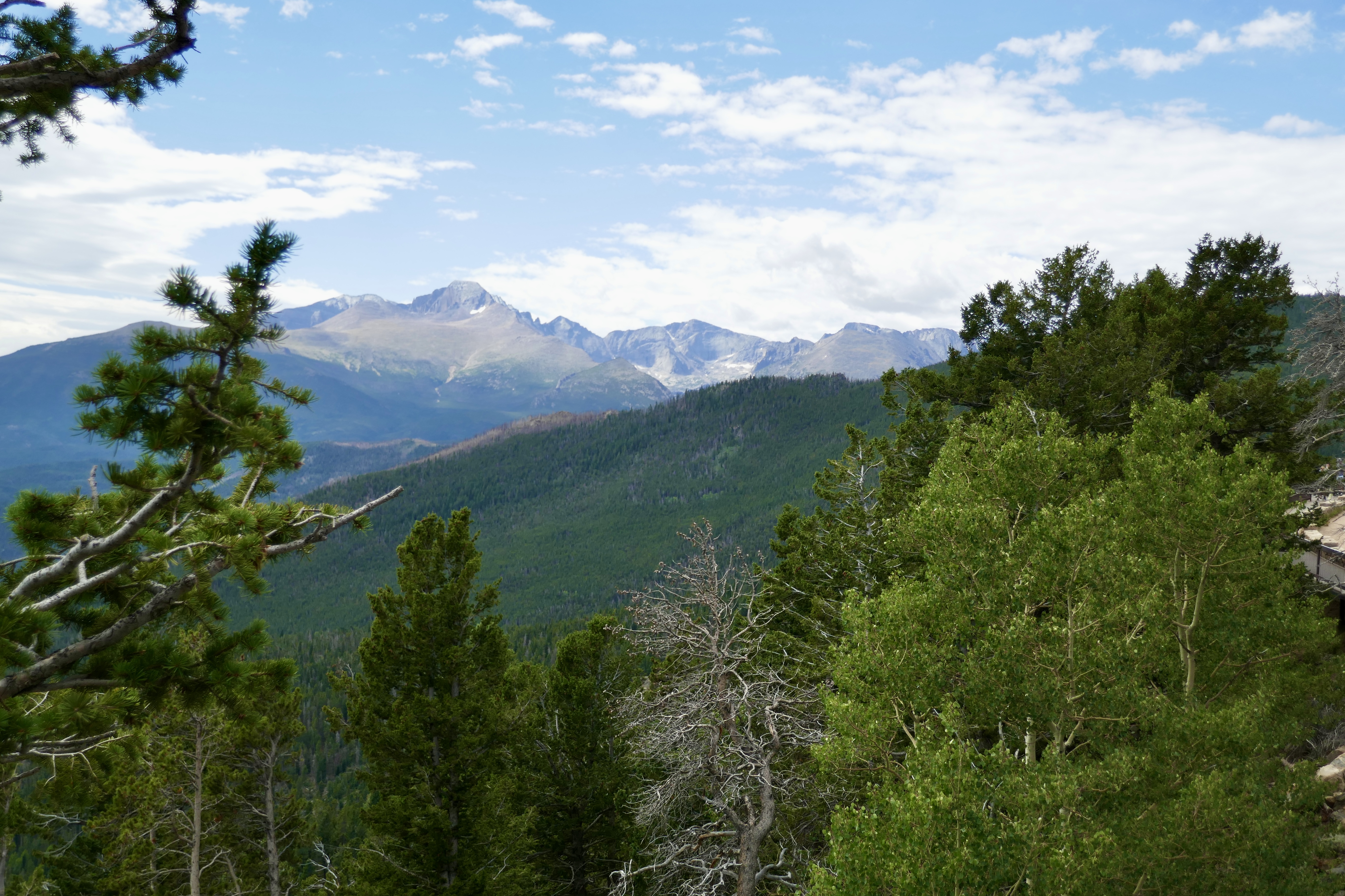
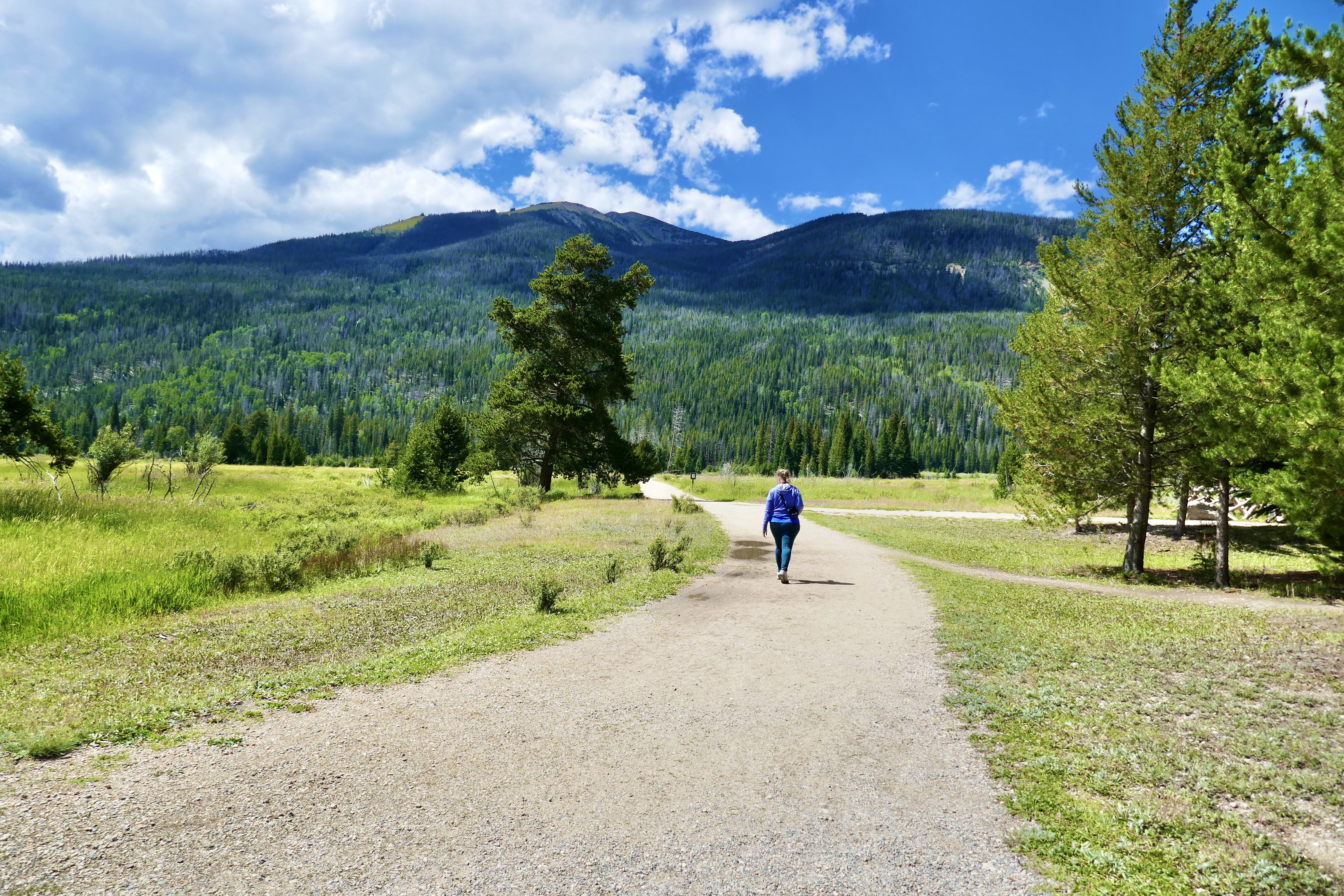
My second-favorite thing we did when my friend came out to visit last August was to drive Trail Ridge Road through Rocky Mountain National Park, from the Estes Park side to Grand Lake. This is such a scenic drive. We got out for a short hike or two, and saw some wildlife on the trails, but if all you have time for is the drive, it’s still worth it.
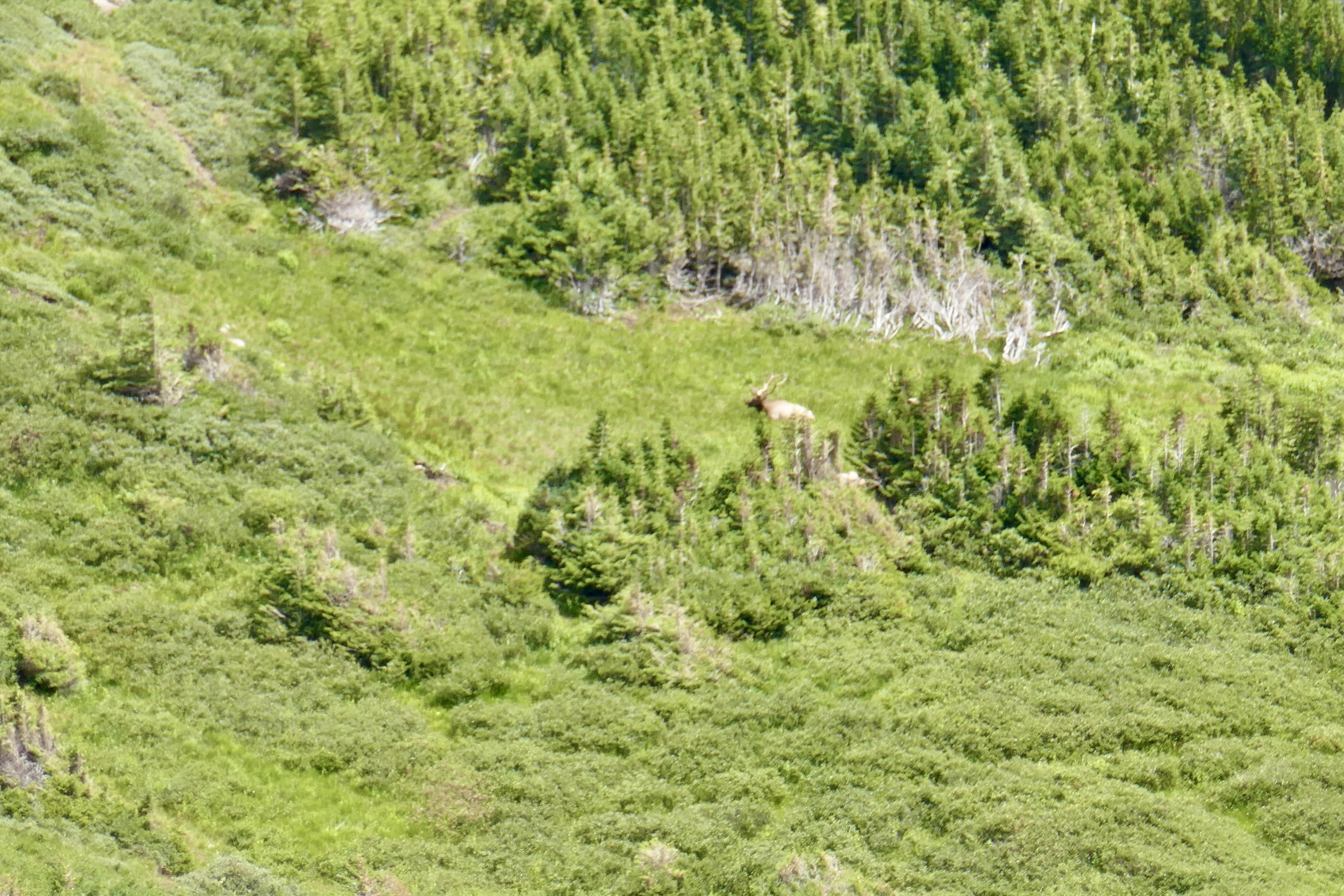
I wish I’d gotten better shots of the wildlife, most of the ones I did get are blurry. But we saw bighorn sheep,
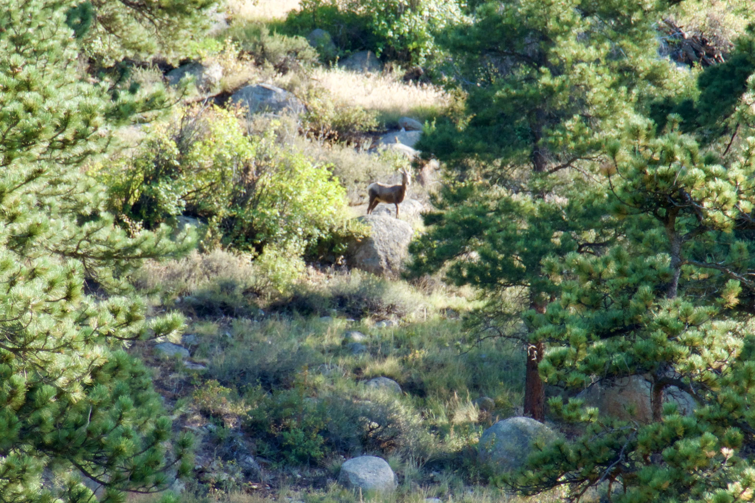
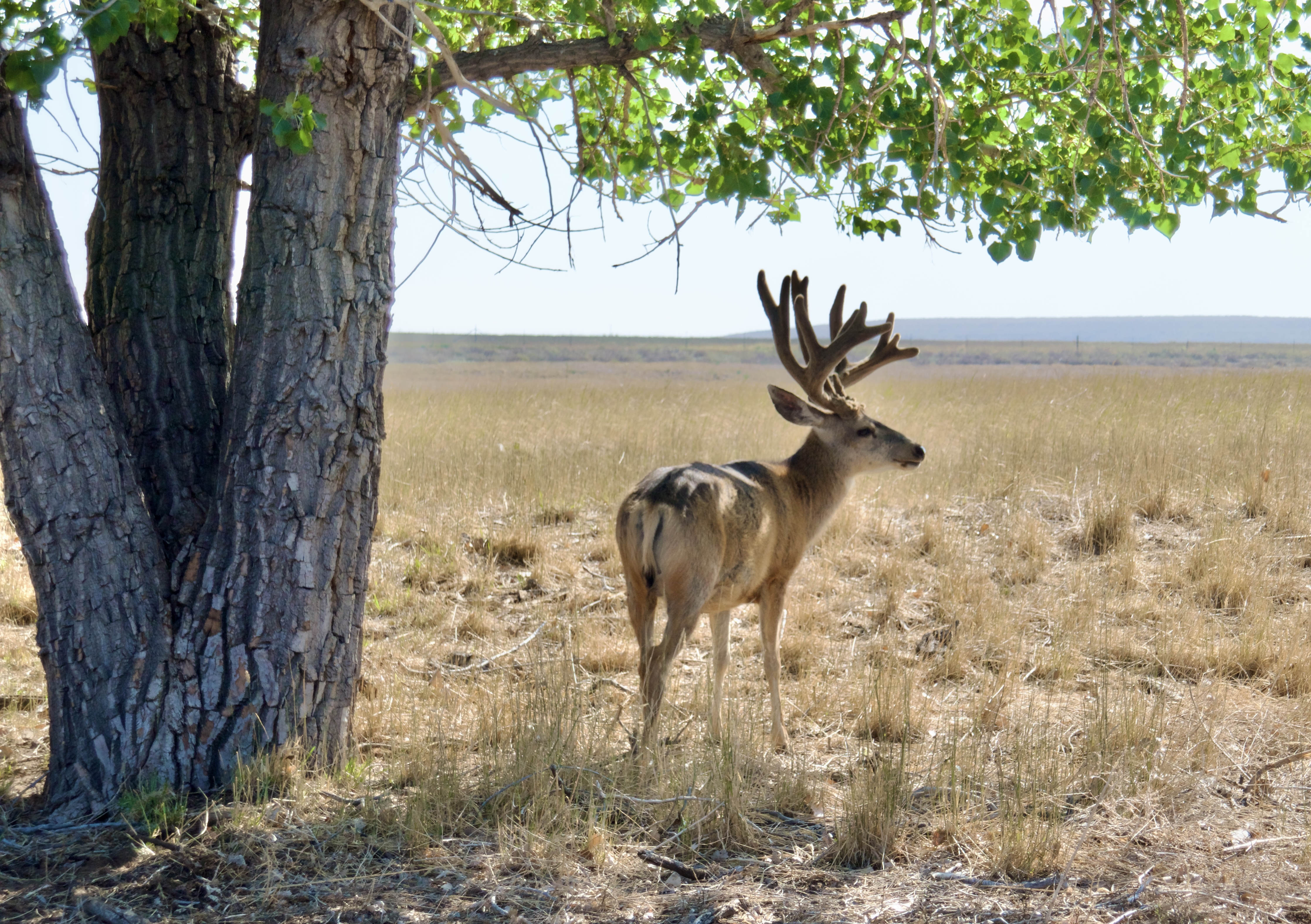
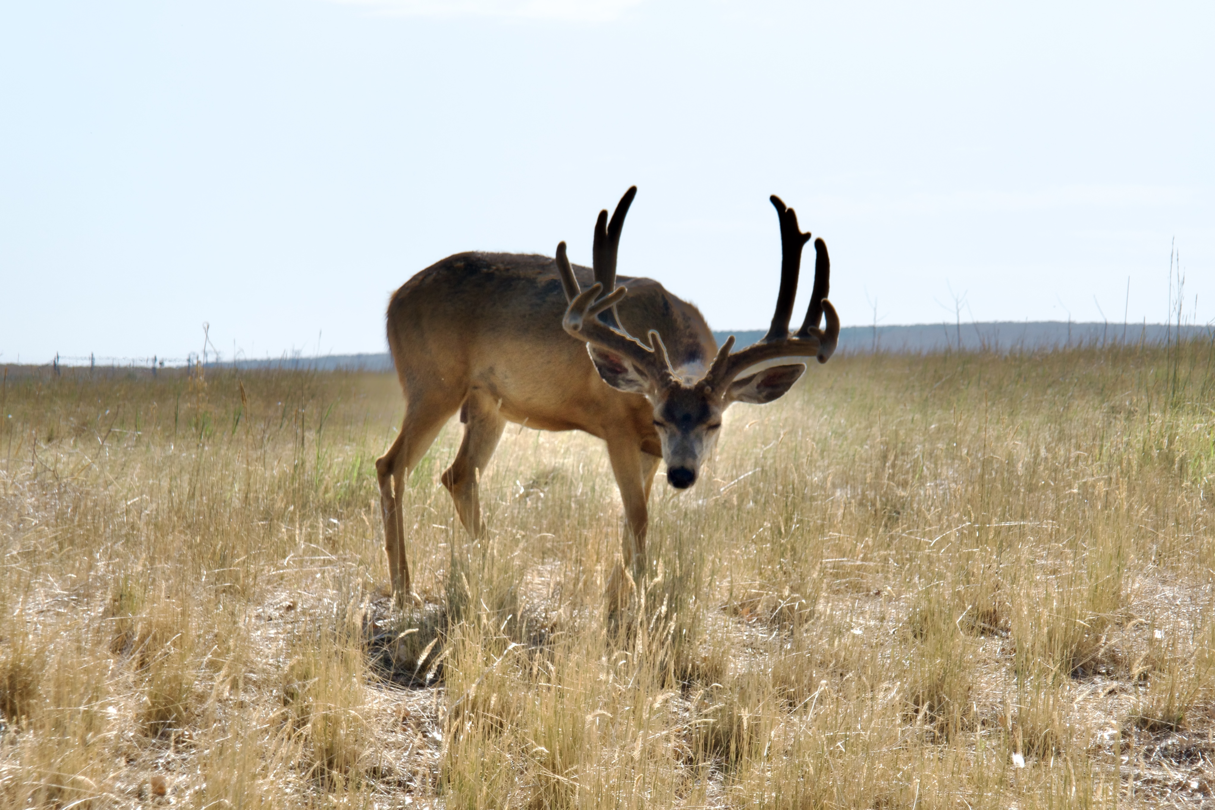
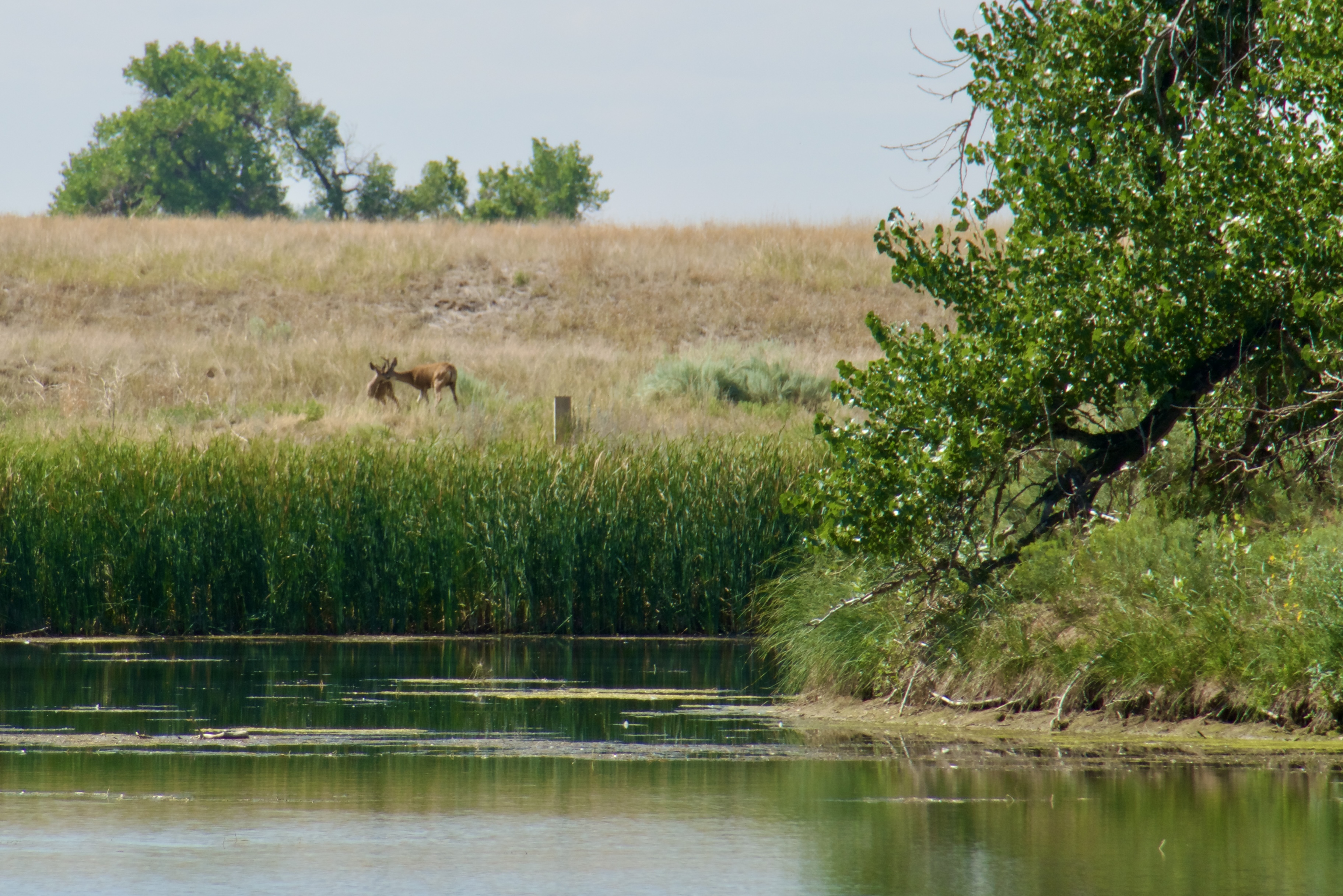
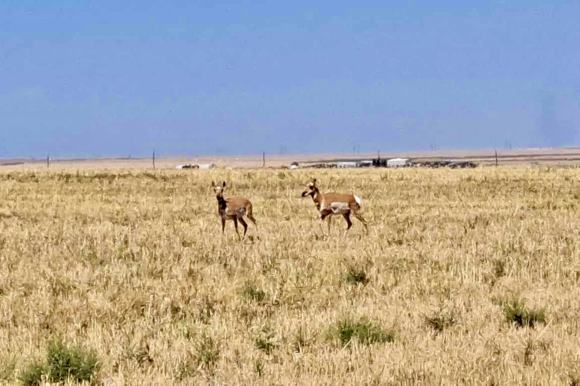
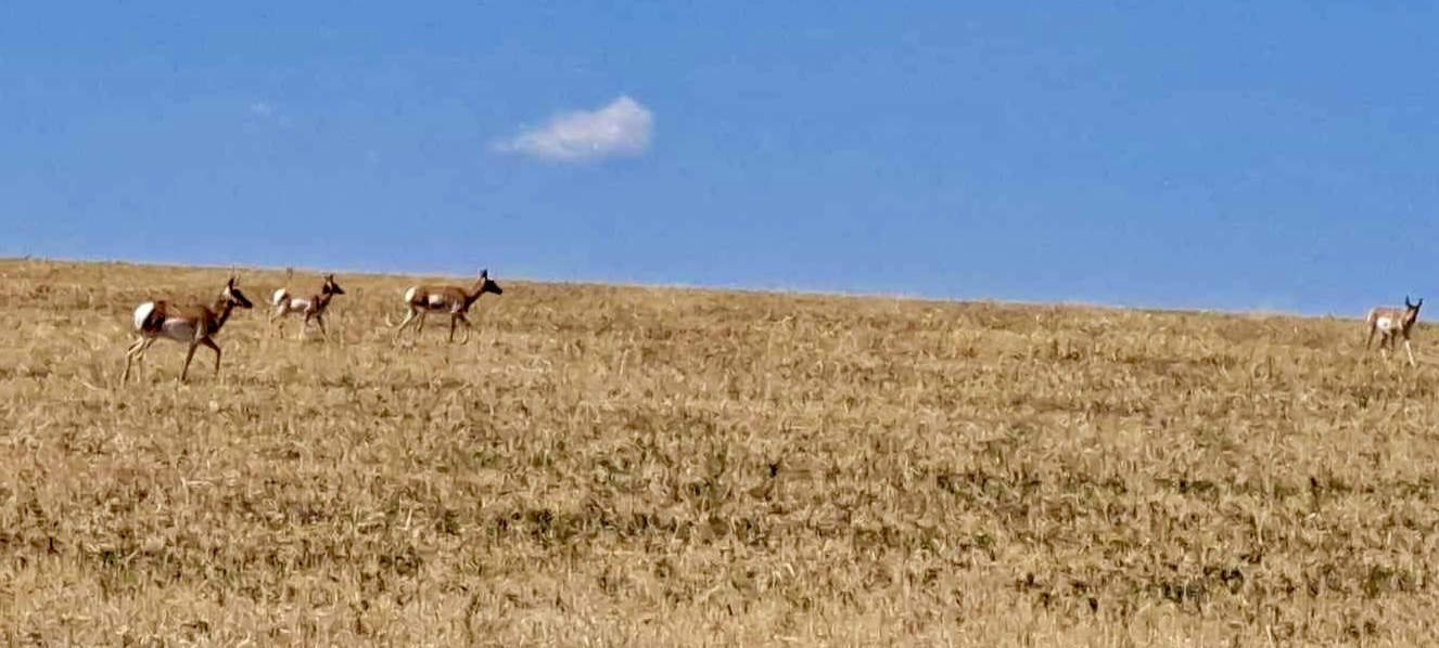
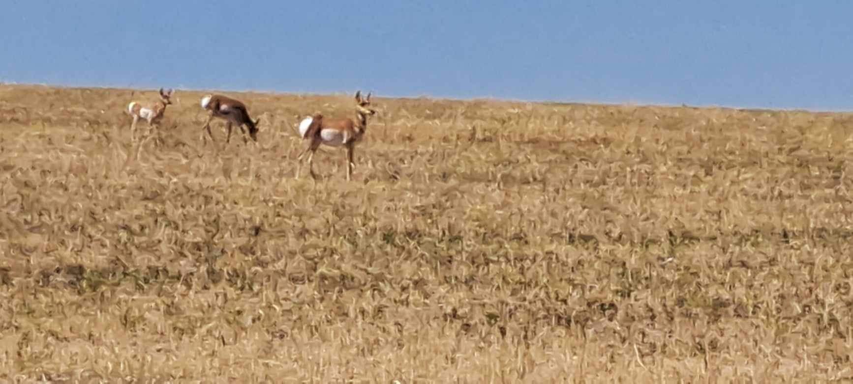
deer and elk,
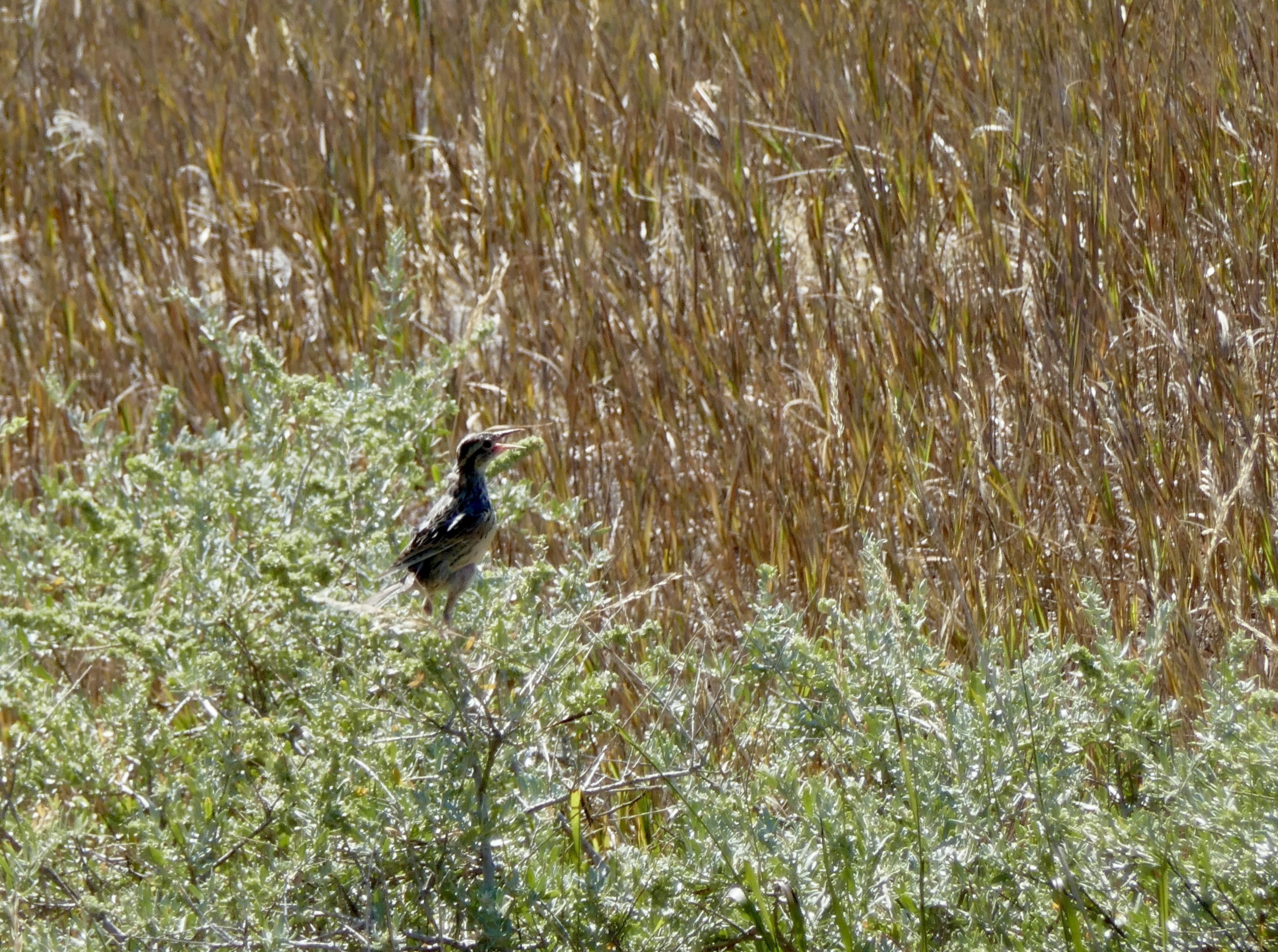
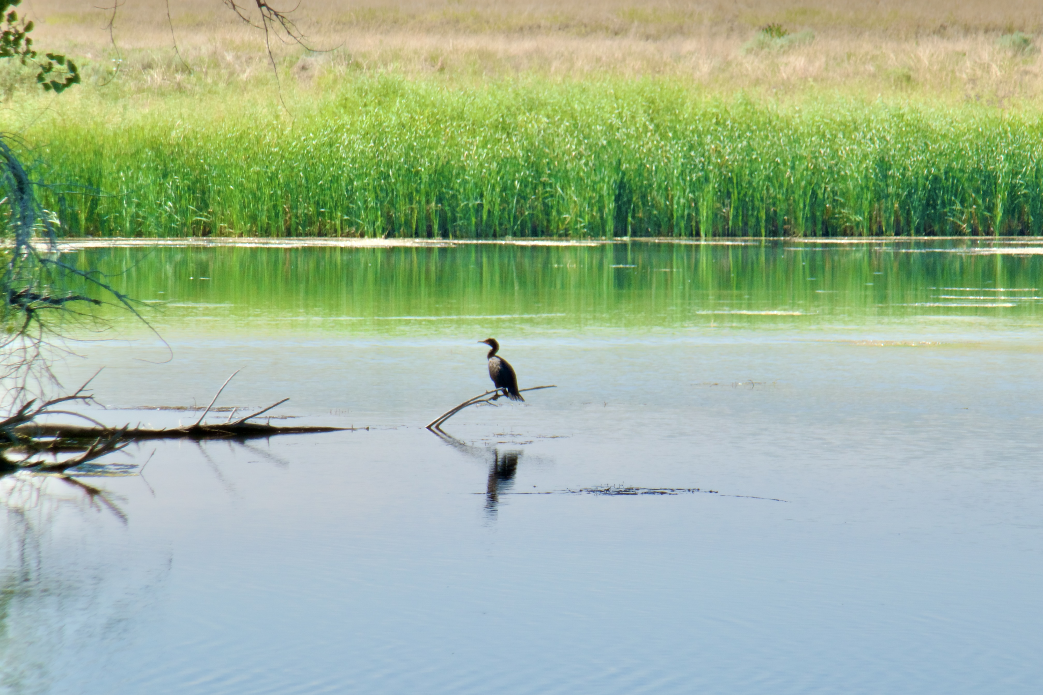
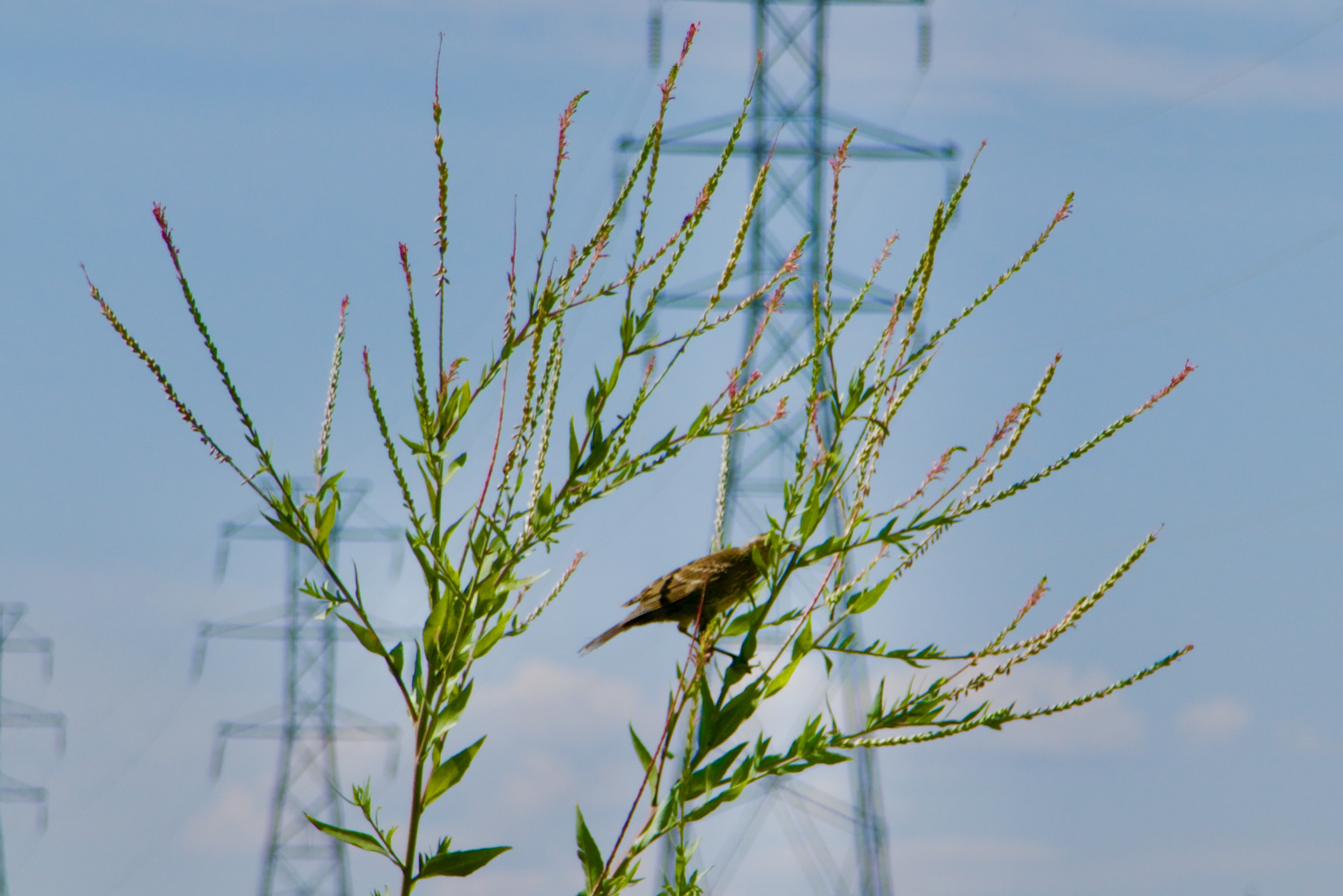
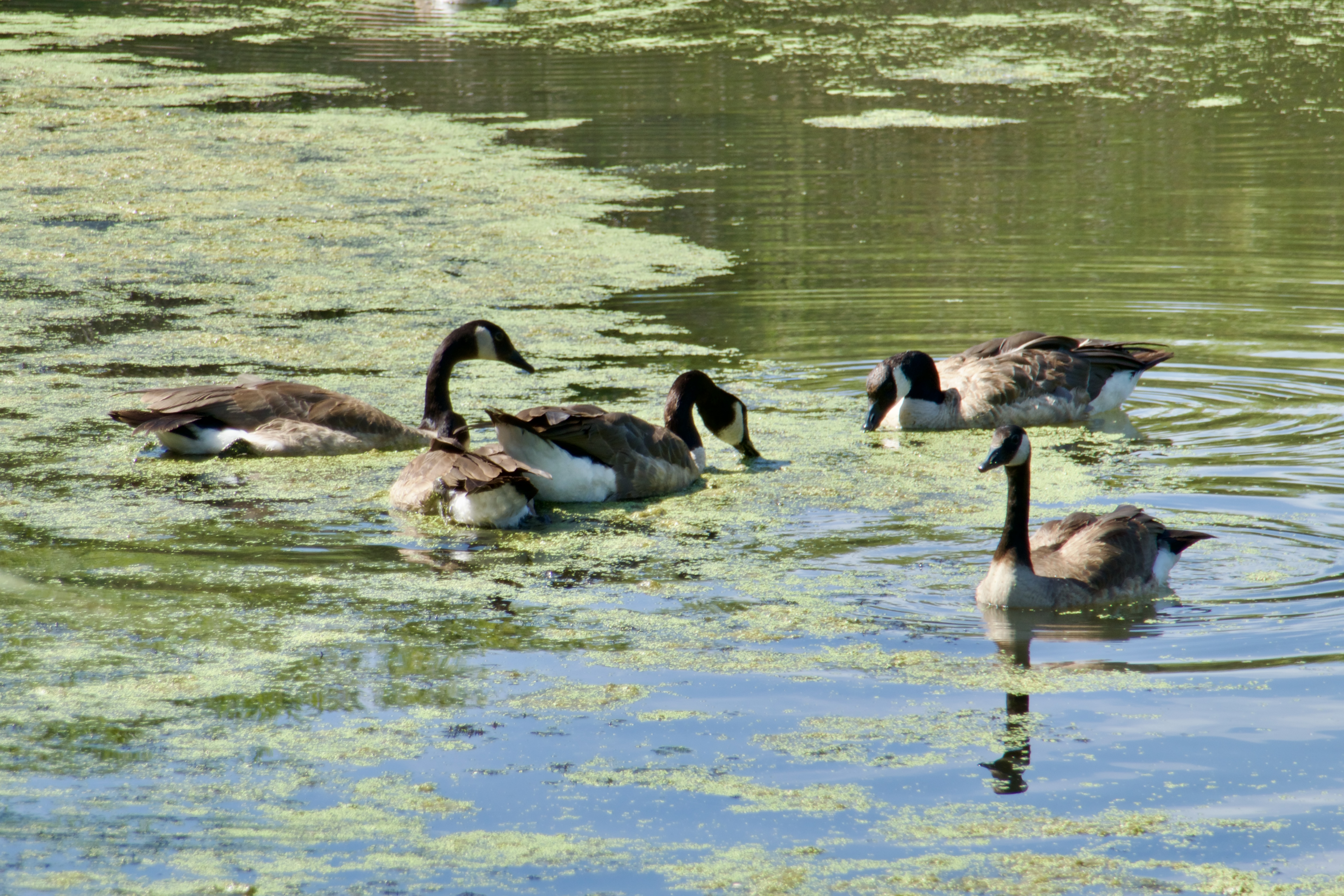
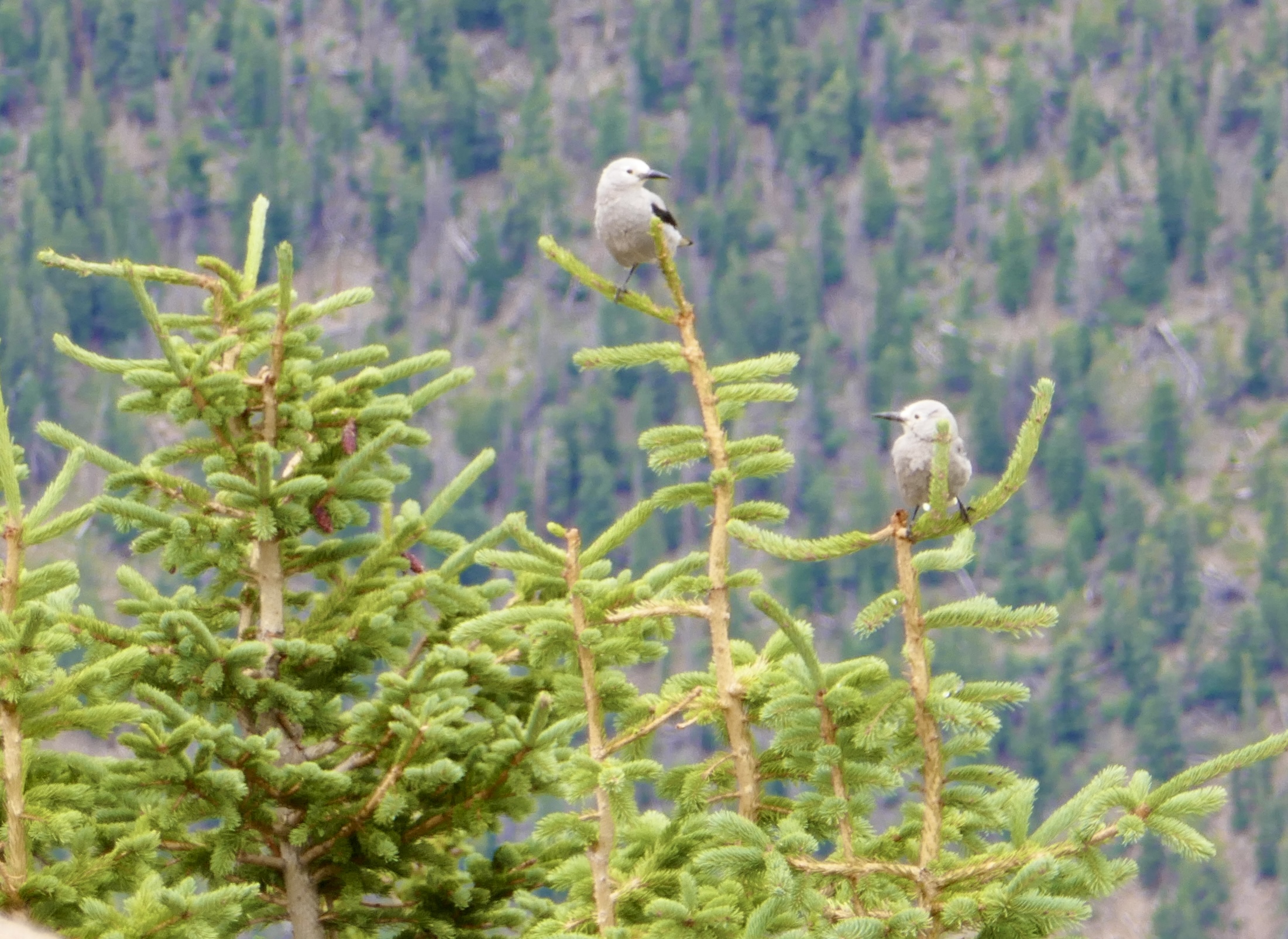
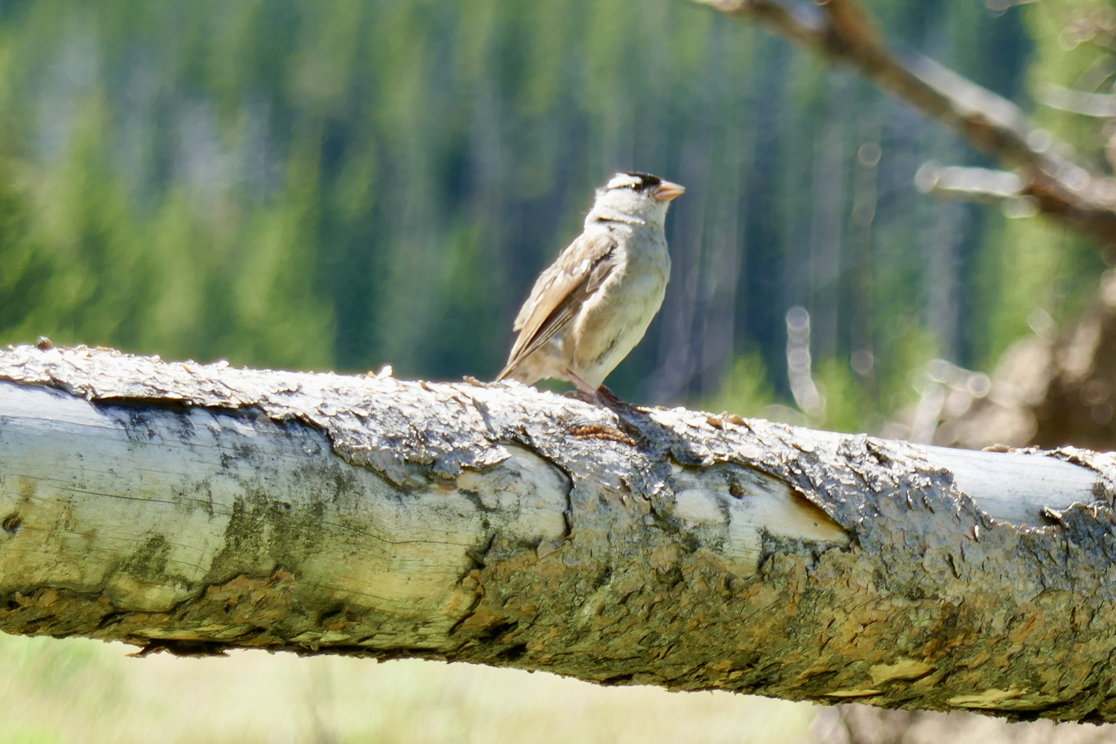
lots of birds,
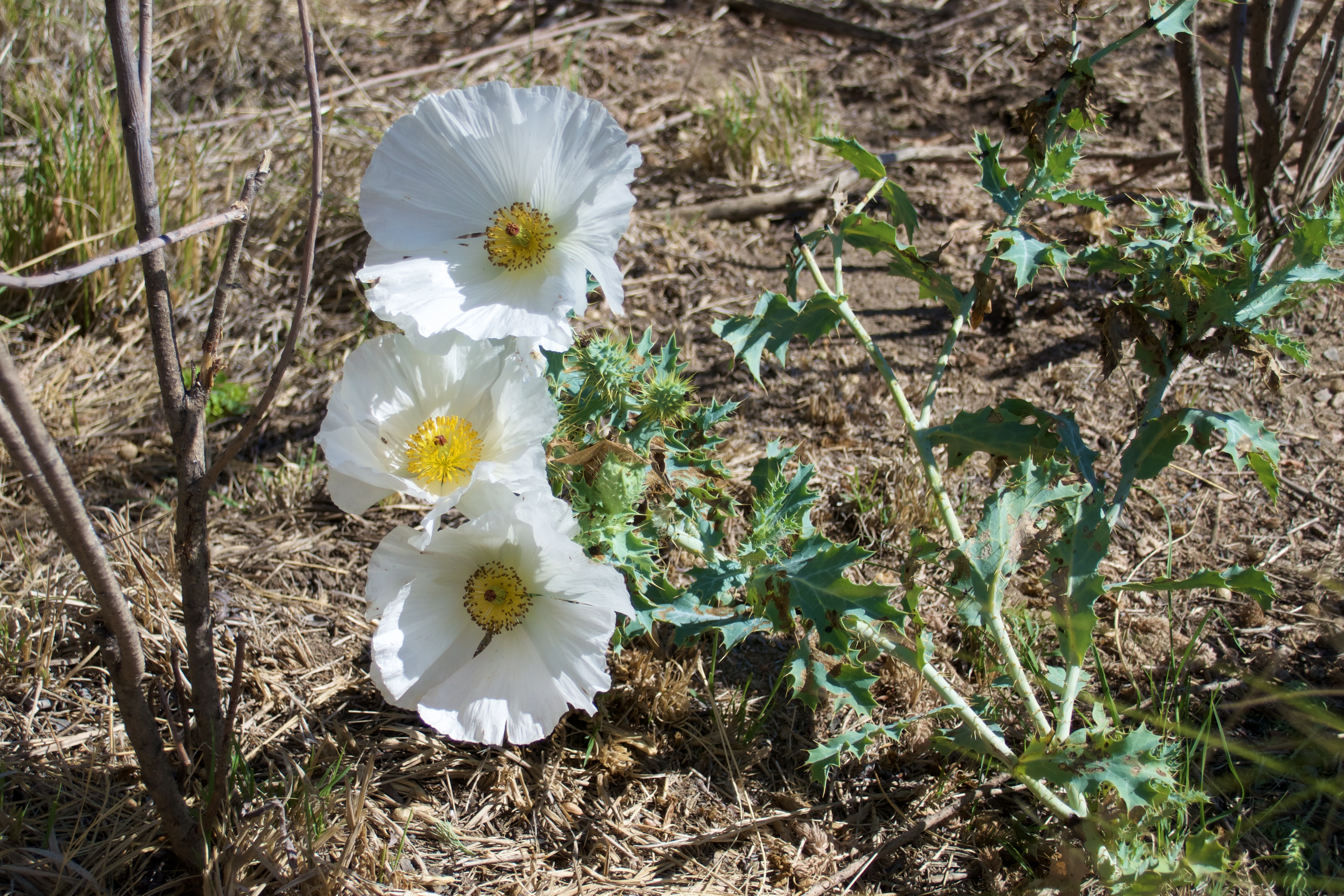
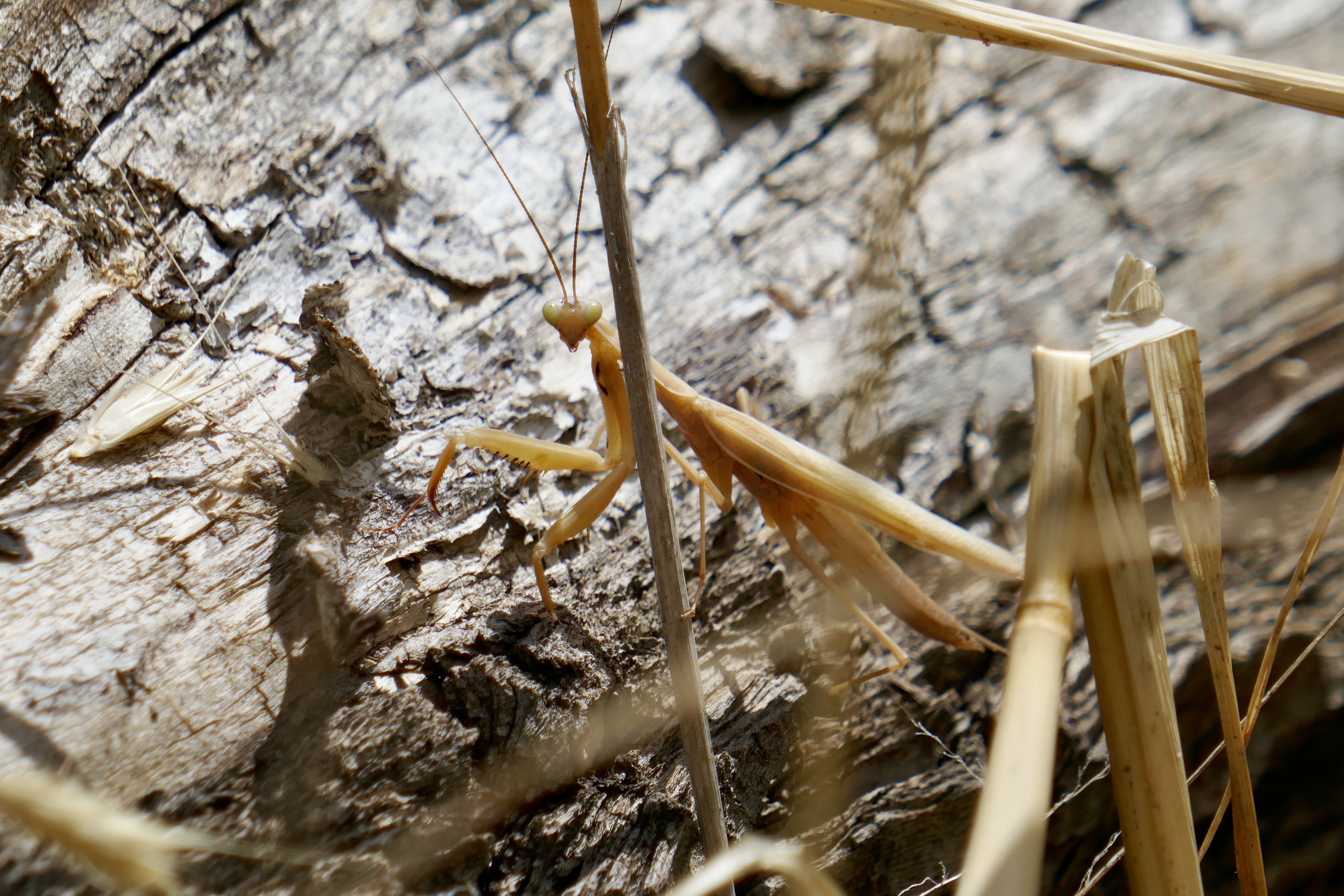
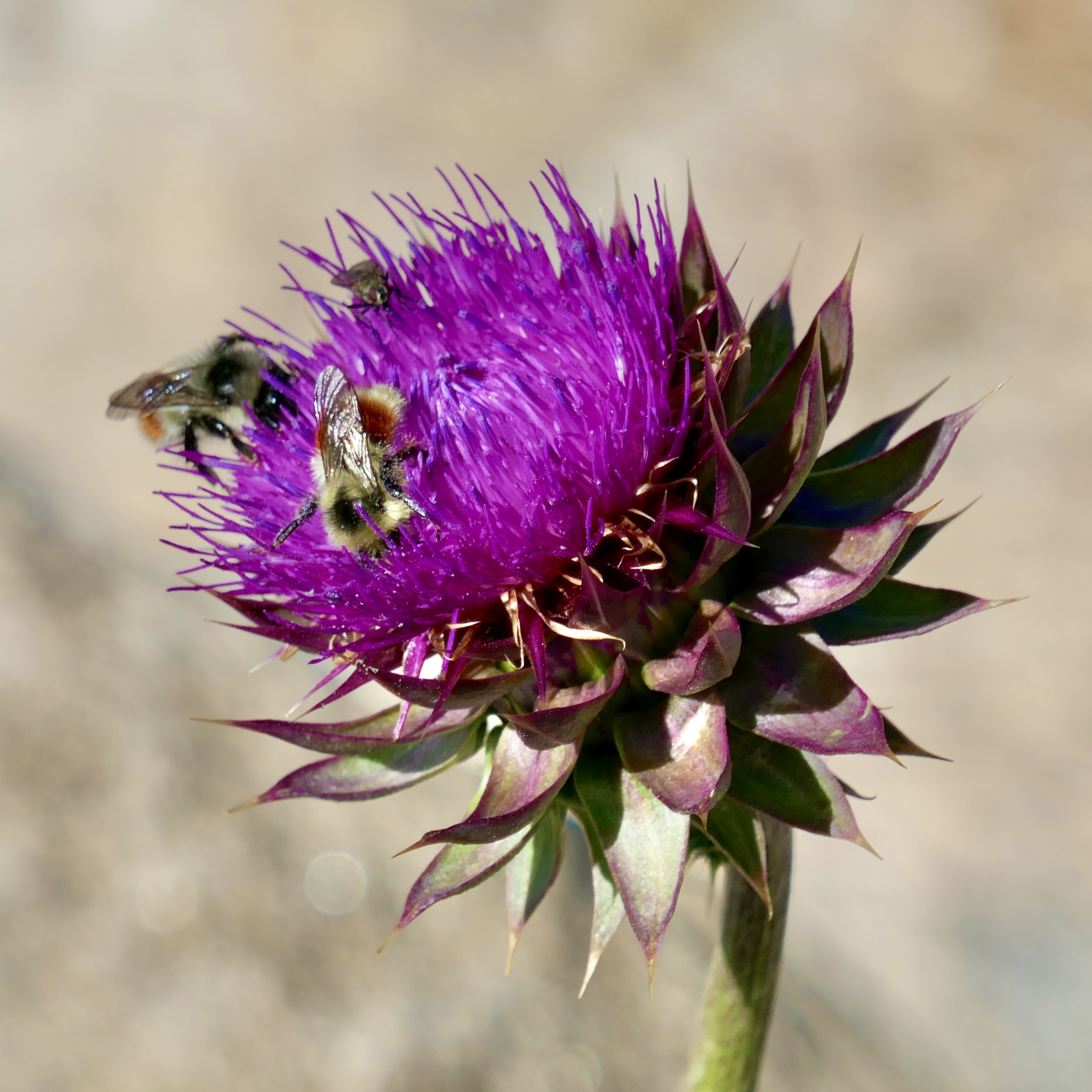
lots of insects and wildflowers,
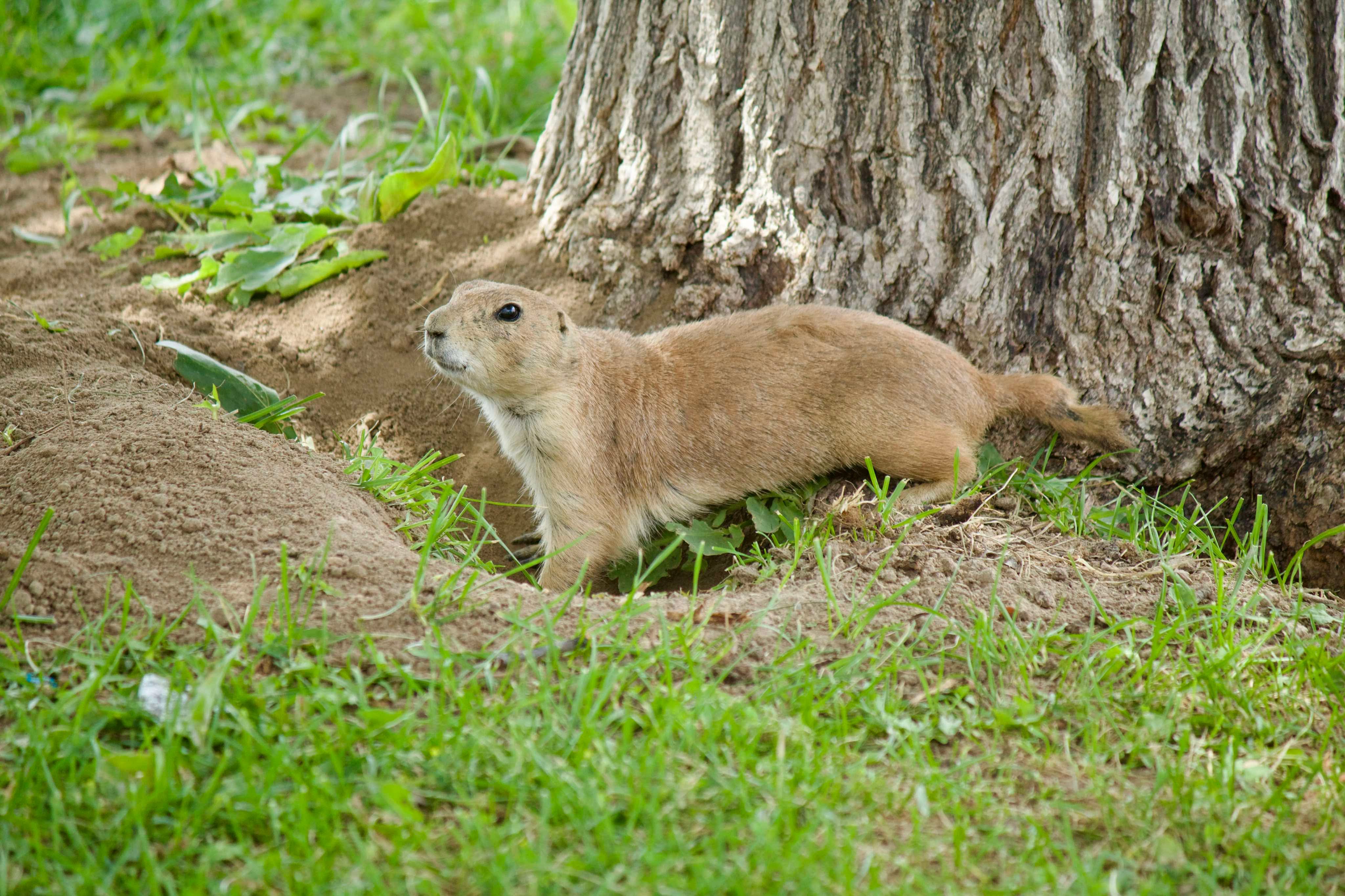
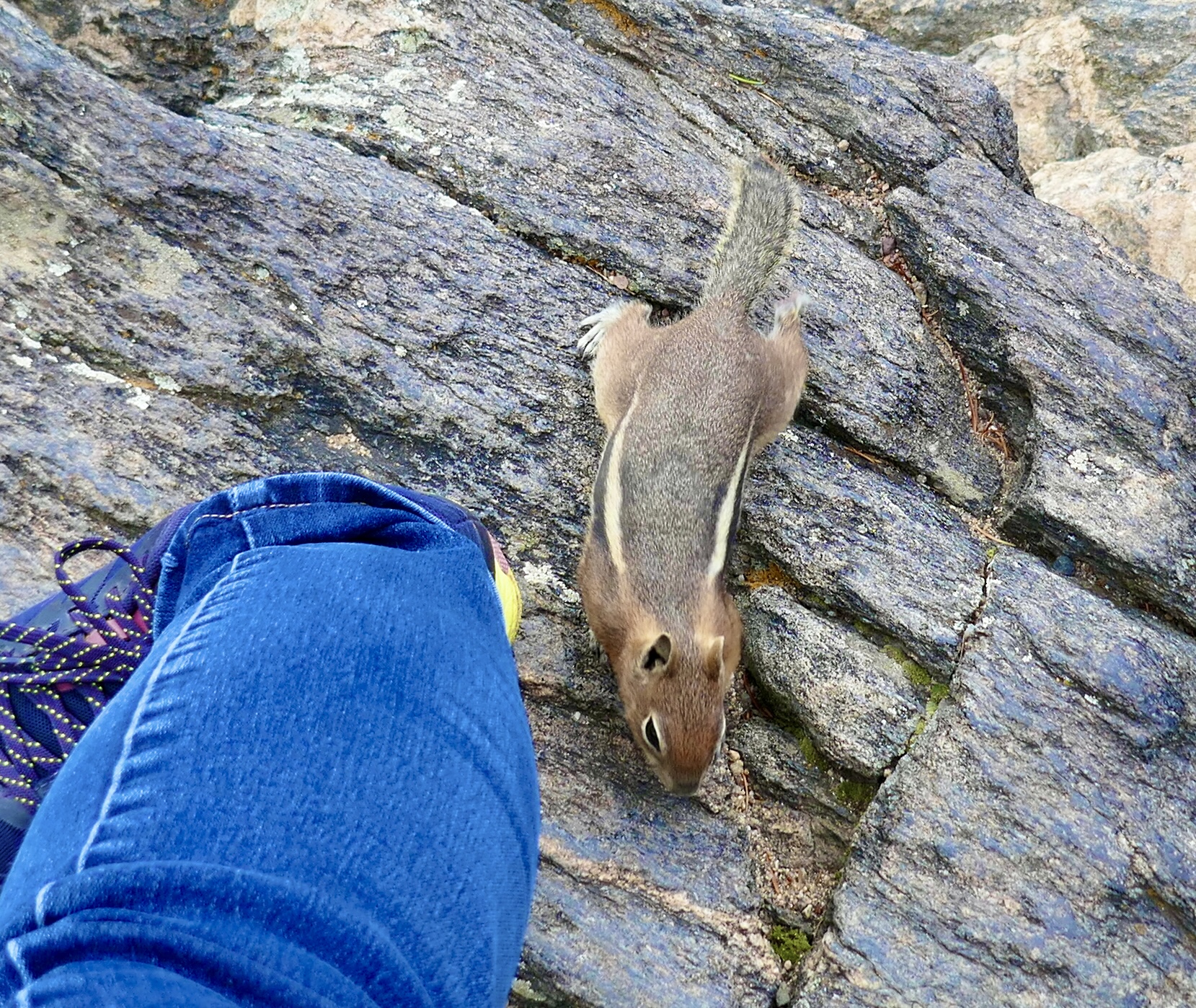
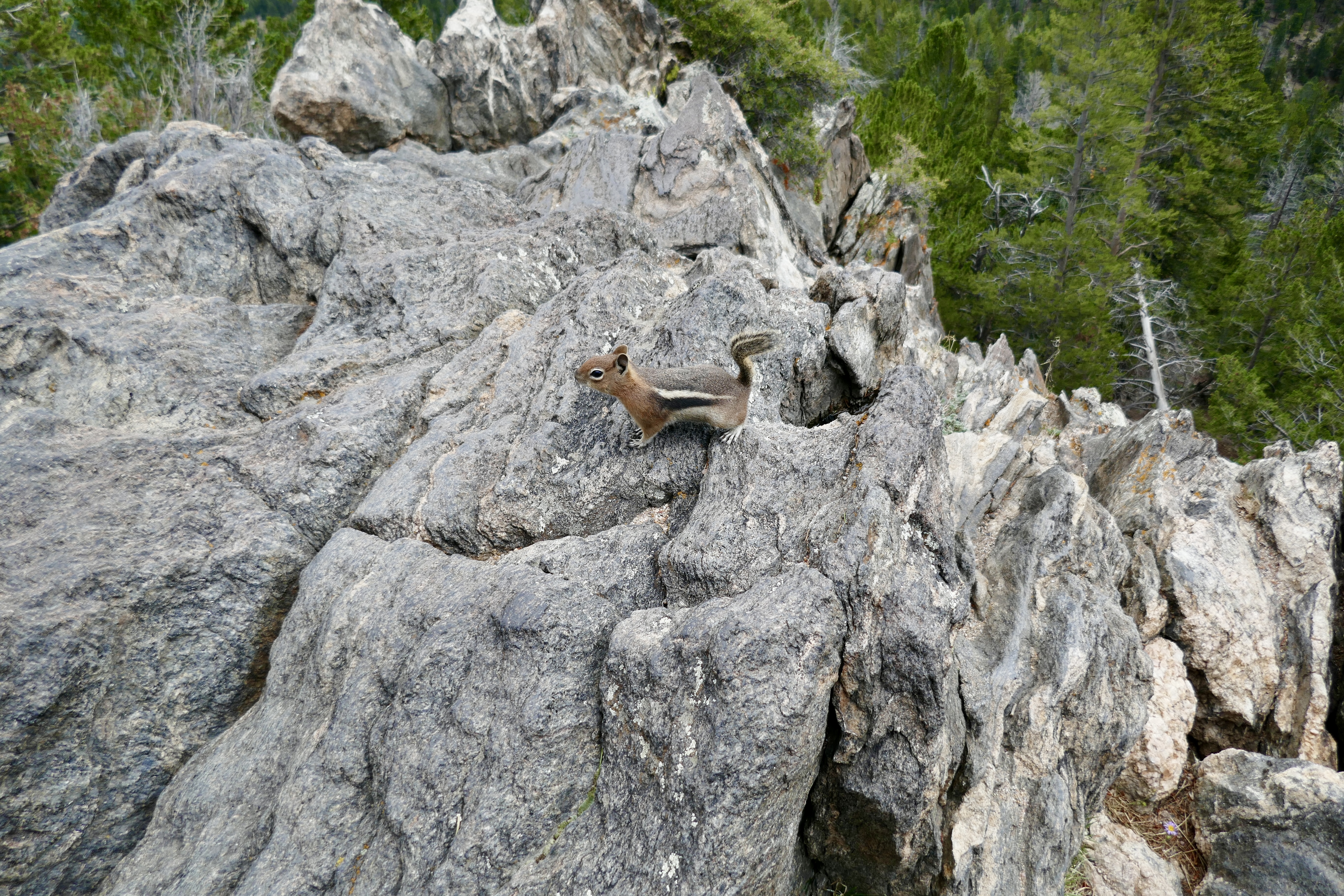
a curious chipmunk,
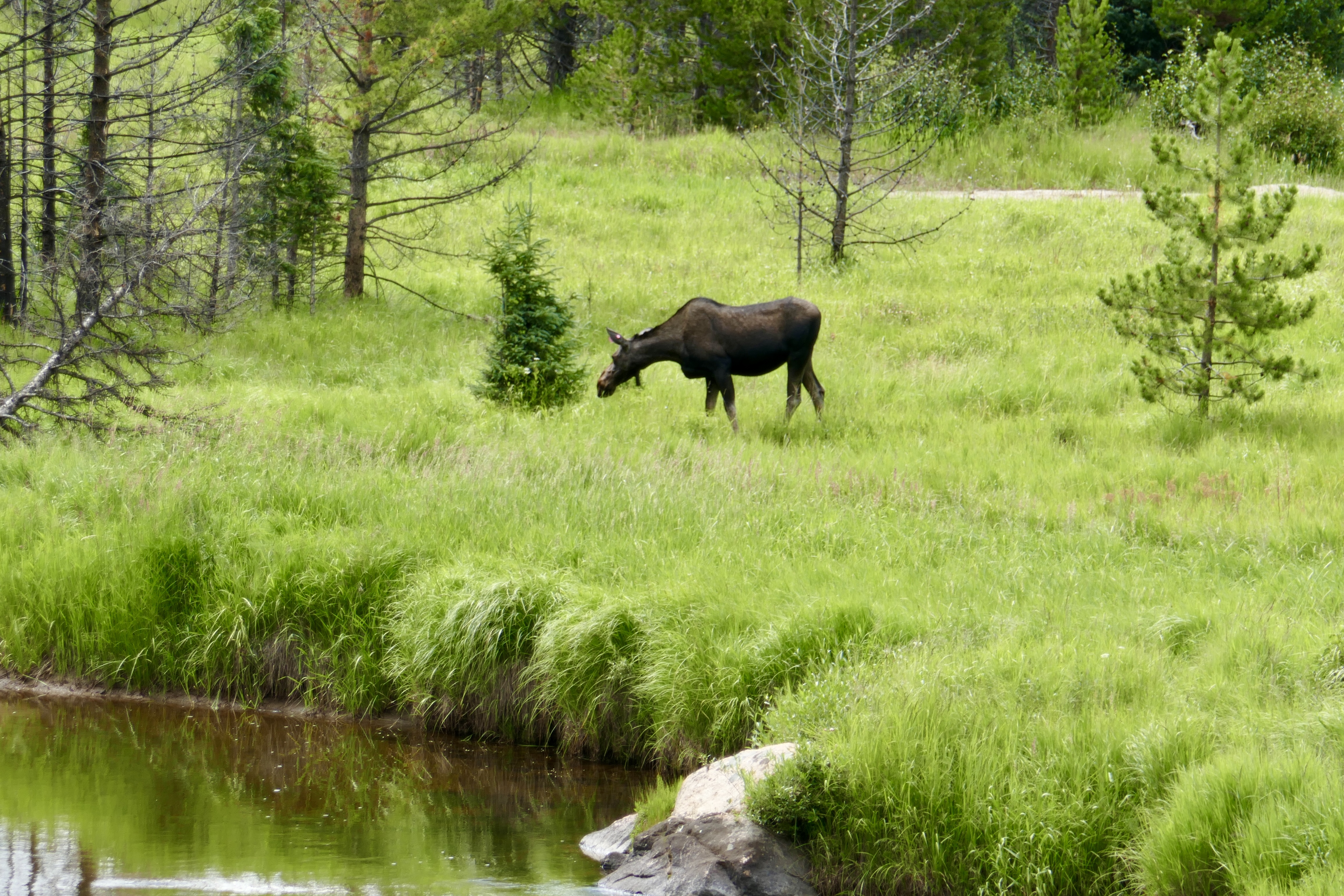
and a moose.
We also saw some pikas and a mink, but I wasn’t quick enough with my camera to capture those.
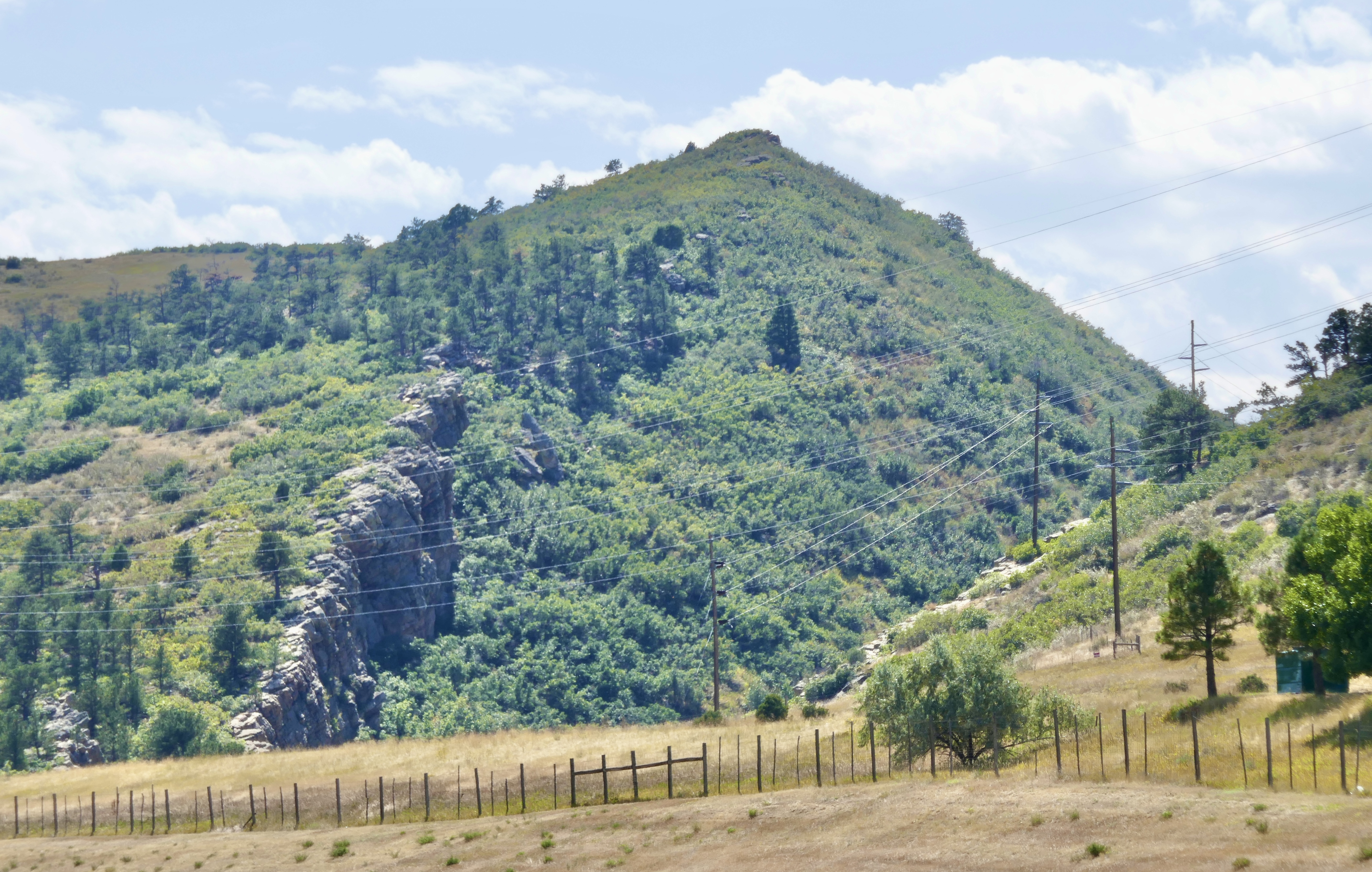
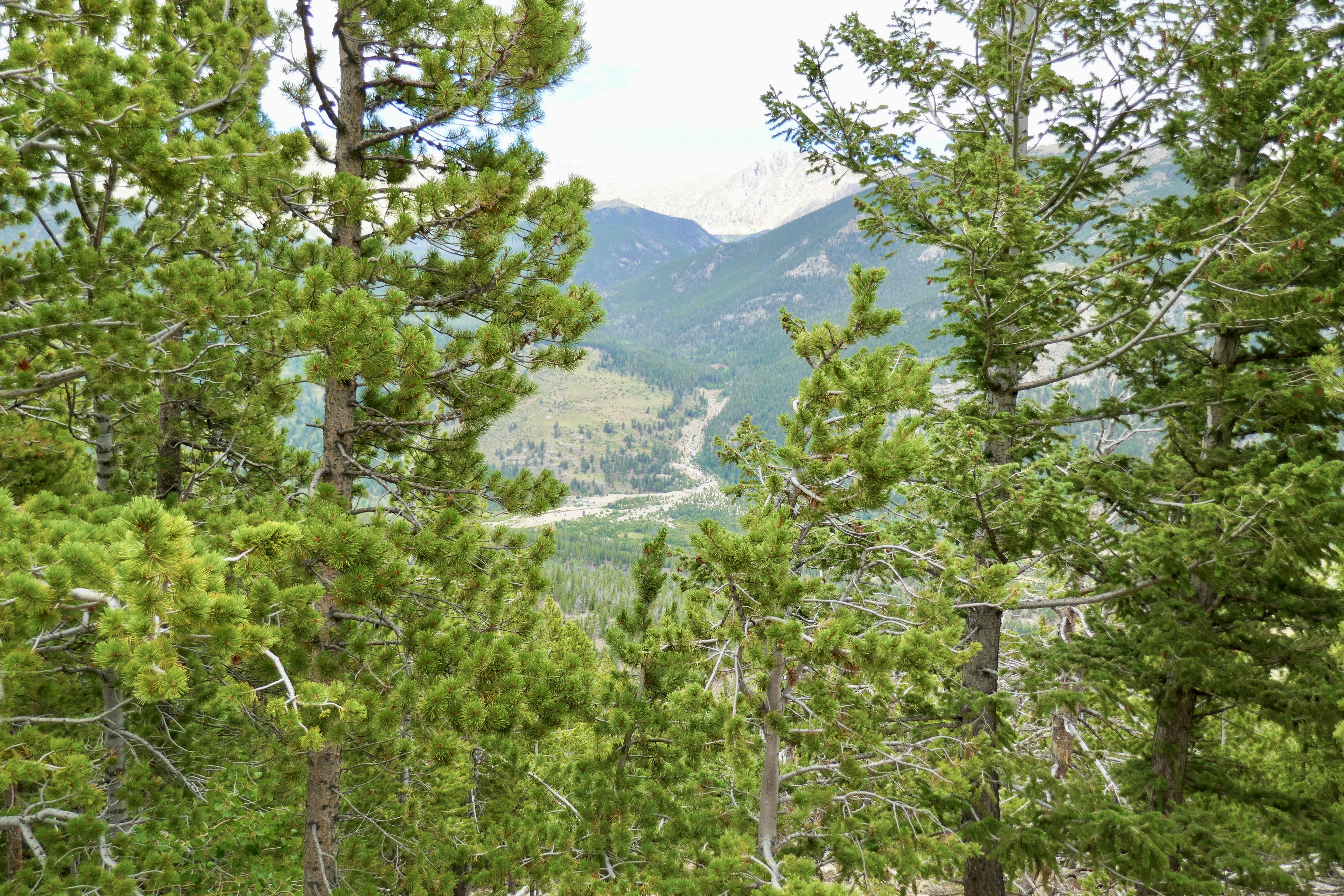
This rocky riverbed has a story behind it:
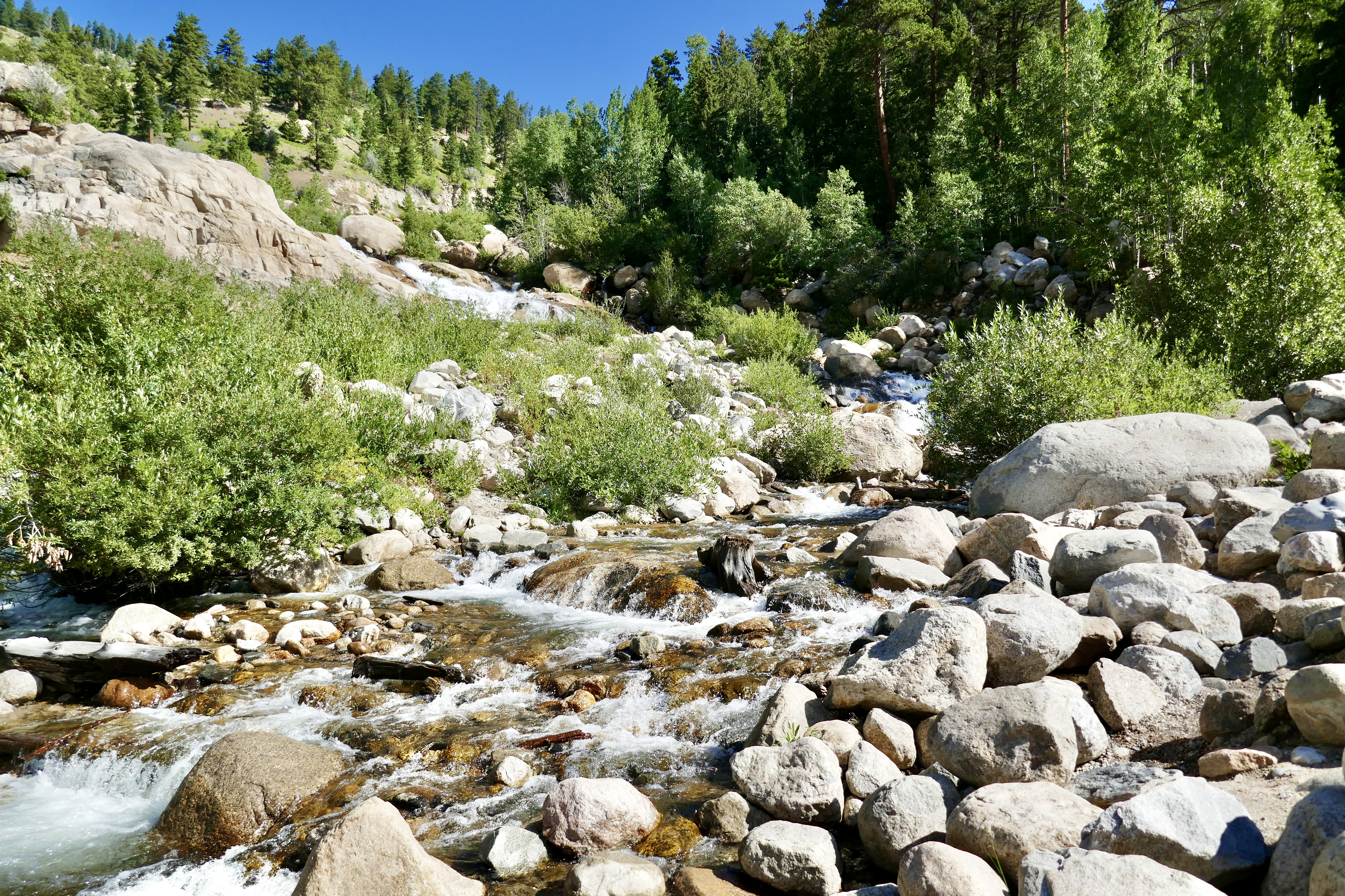
So back in 1903, some Loveland farmers hired an irrigation company to build a small dam where Lawn Lake empties into the Roaring River, to create a reservoir for watering their farms down in Loveland. The dam embiggened Lawn Lake’s surface area from 16.4 acres to 48 acres.
In 1915, when Rocky Mountain National Park was established, Lawn Lake was within its borders, but the irrigation company was allowed to retain ownership of the dam and its associated water rights. In 1931 the dam was raised to 24 feet high.
In mid-July of 1982, the dam failed due to neglect, dumping 674 acre-feet of water into the Roaring River. Lawn Lake emptied in half an hour, just an absolute tsunami. Four decades later you can still see the alluvial fan of rocks and debris that the floodwaters left behind when they poured into Horseshoe Park.
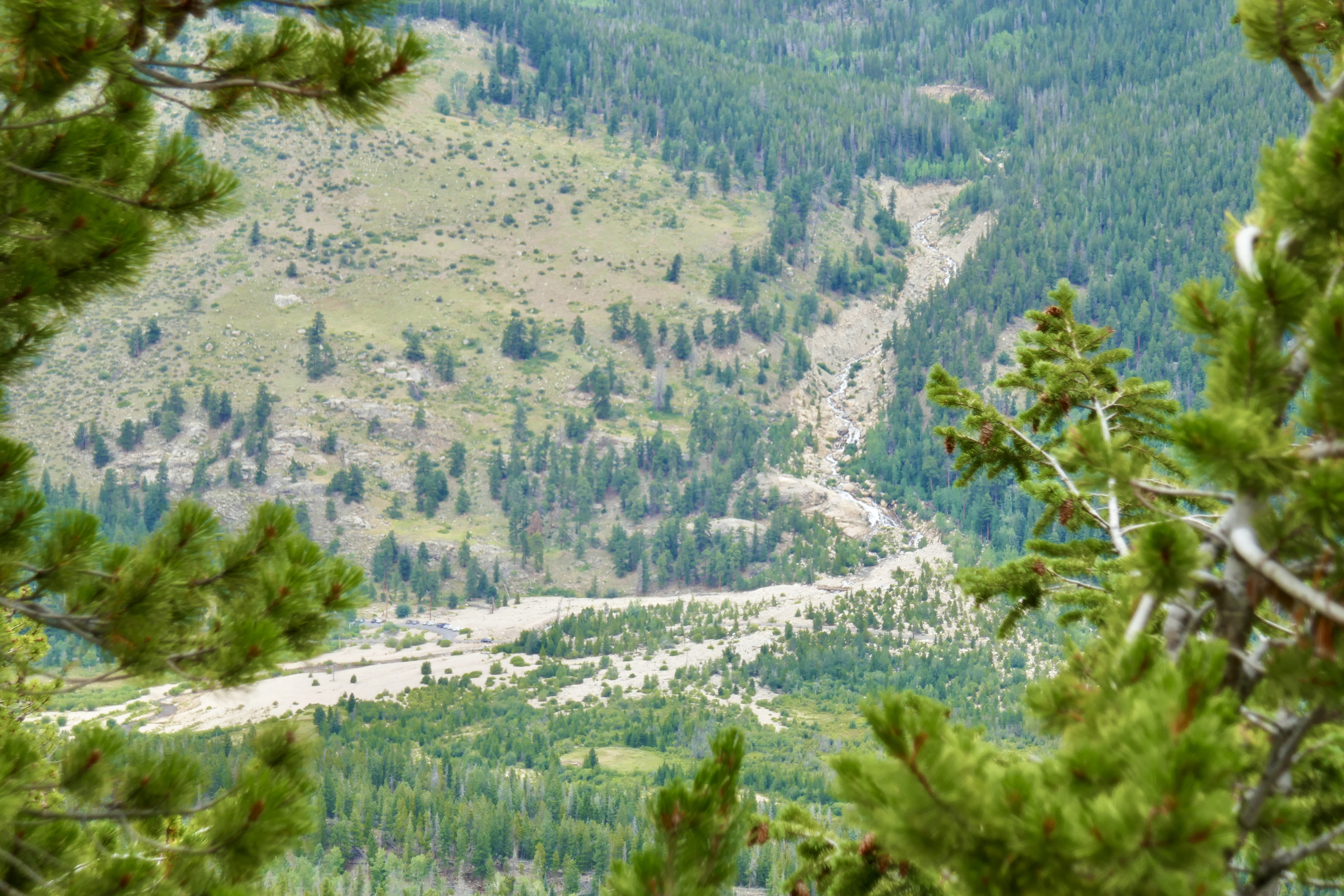
After continuing across Horseshoe Park and into the Fall River, the flood destroyed a second dam and a state fish hatchery before washing through the town of Estes Park and eventually being absorbed into Lake Estes. Millions of dollars in damages and three lives lost. Insanity. You can read more about it here.
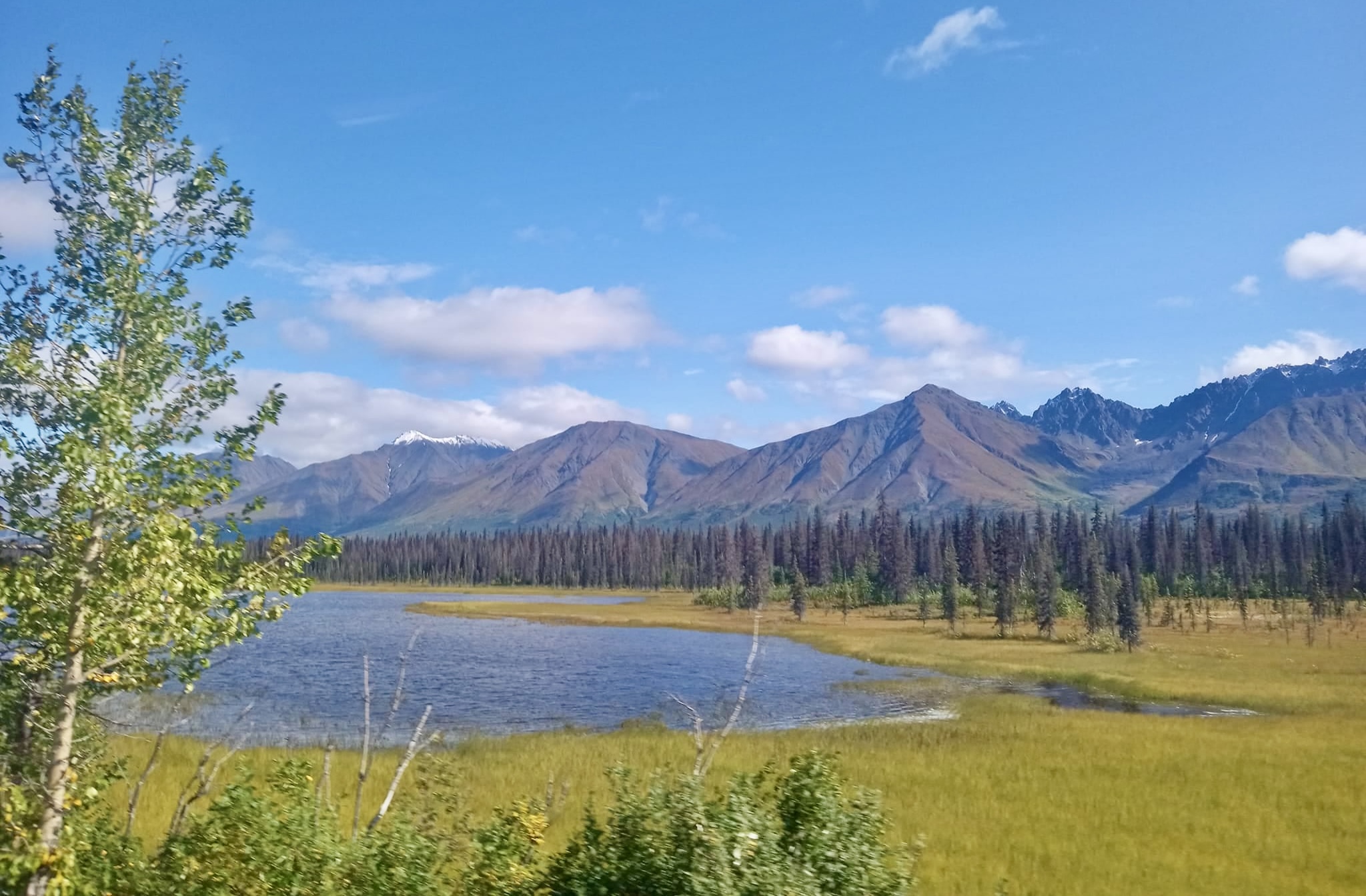
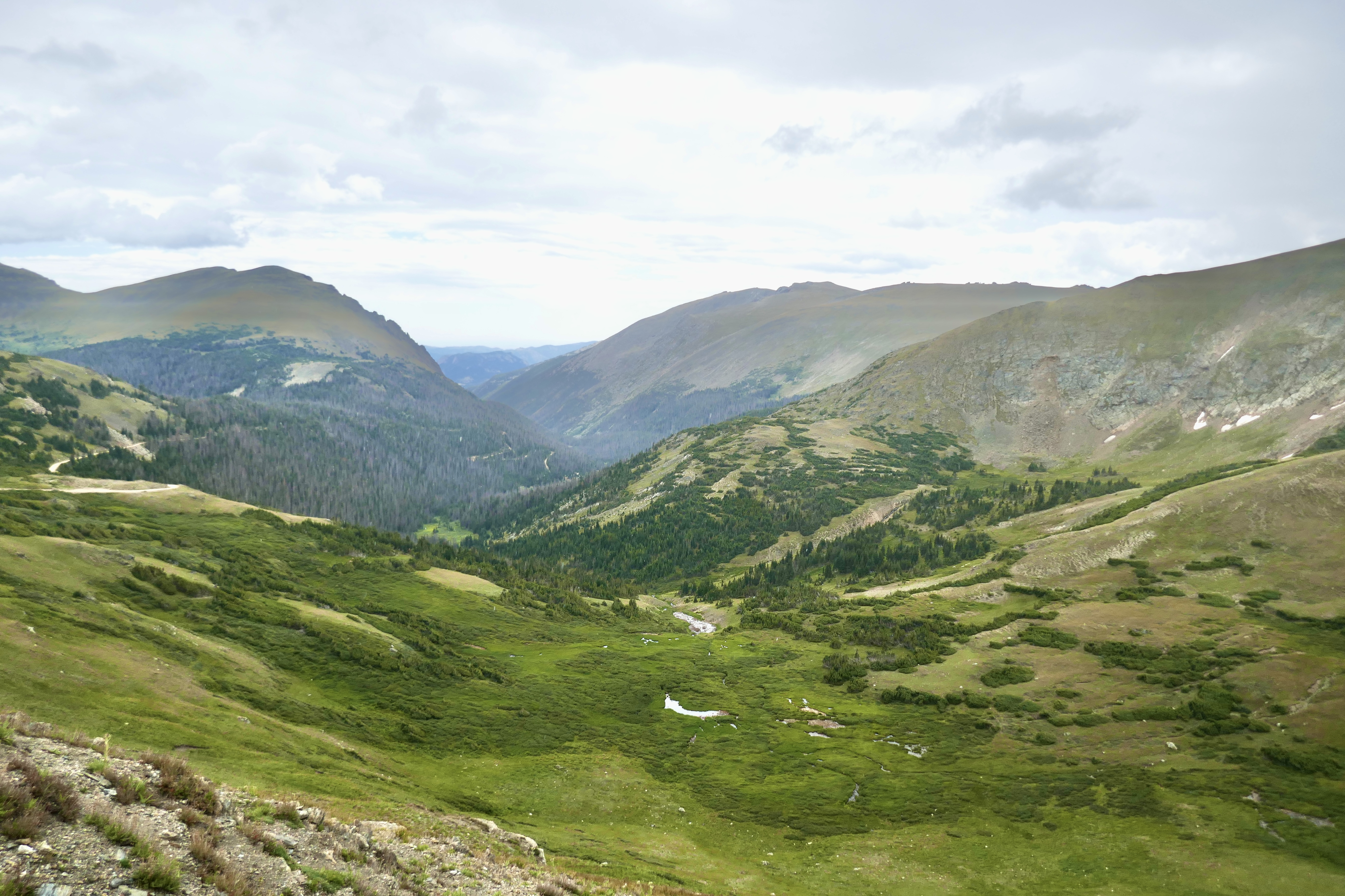
This next pic is kind of grainy because I took it with my phone, but I like it because it did a better job of capturing that golden shade of meadowgrass in the valley.
Even in August there were still patches of snow up at the higher altitudes.

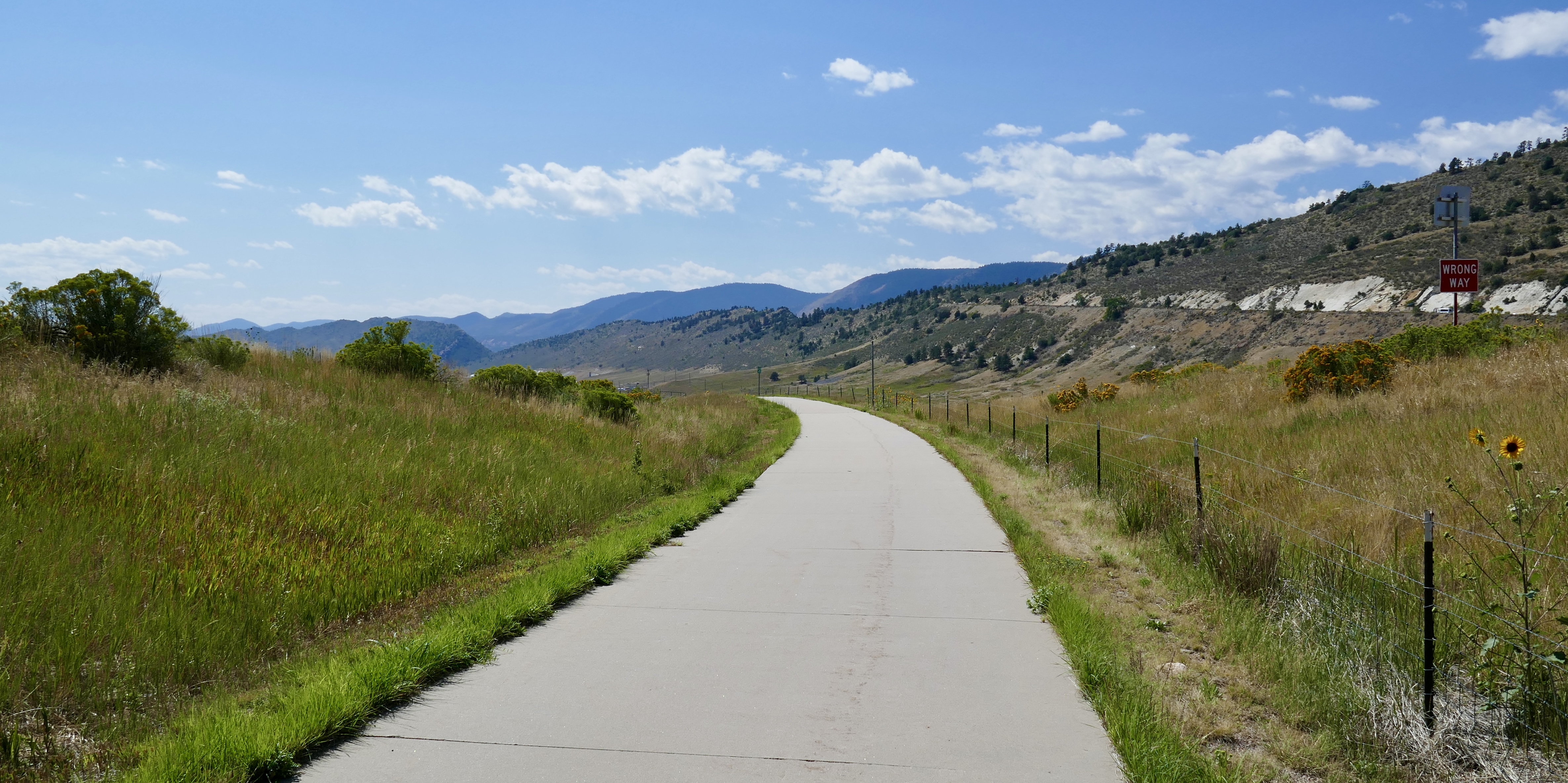
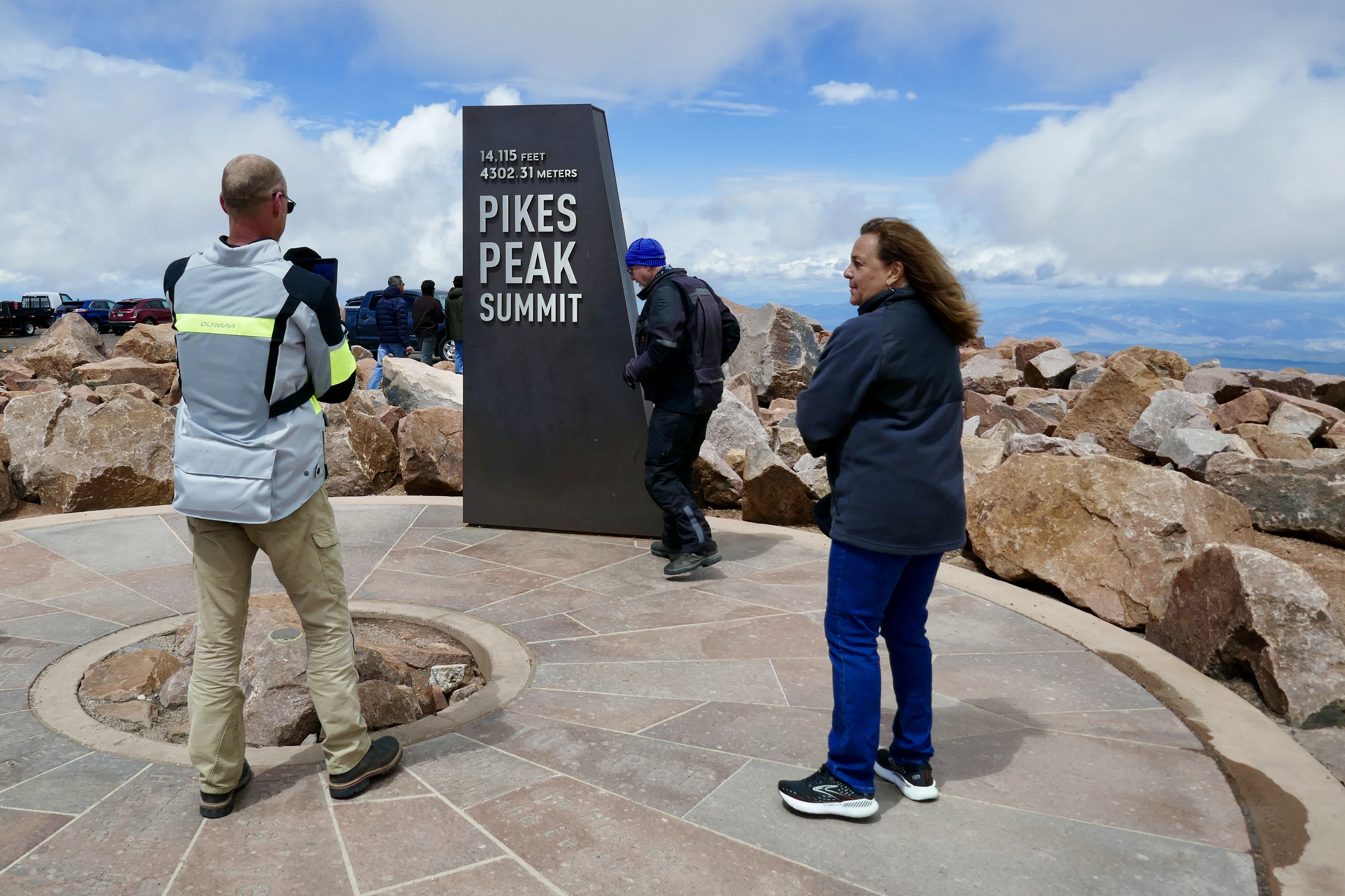
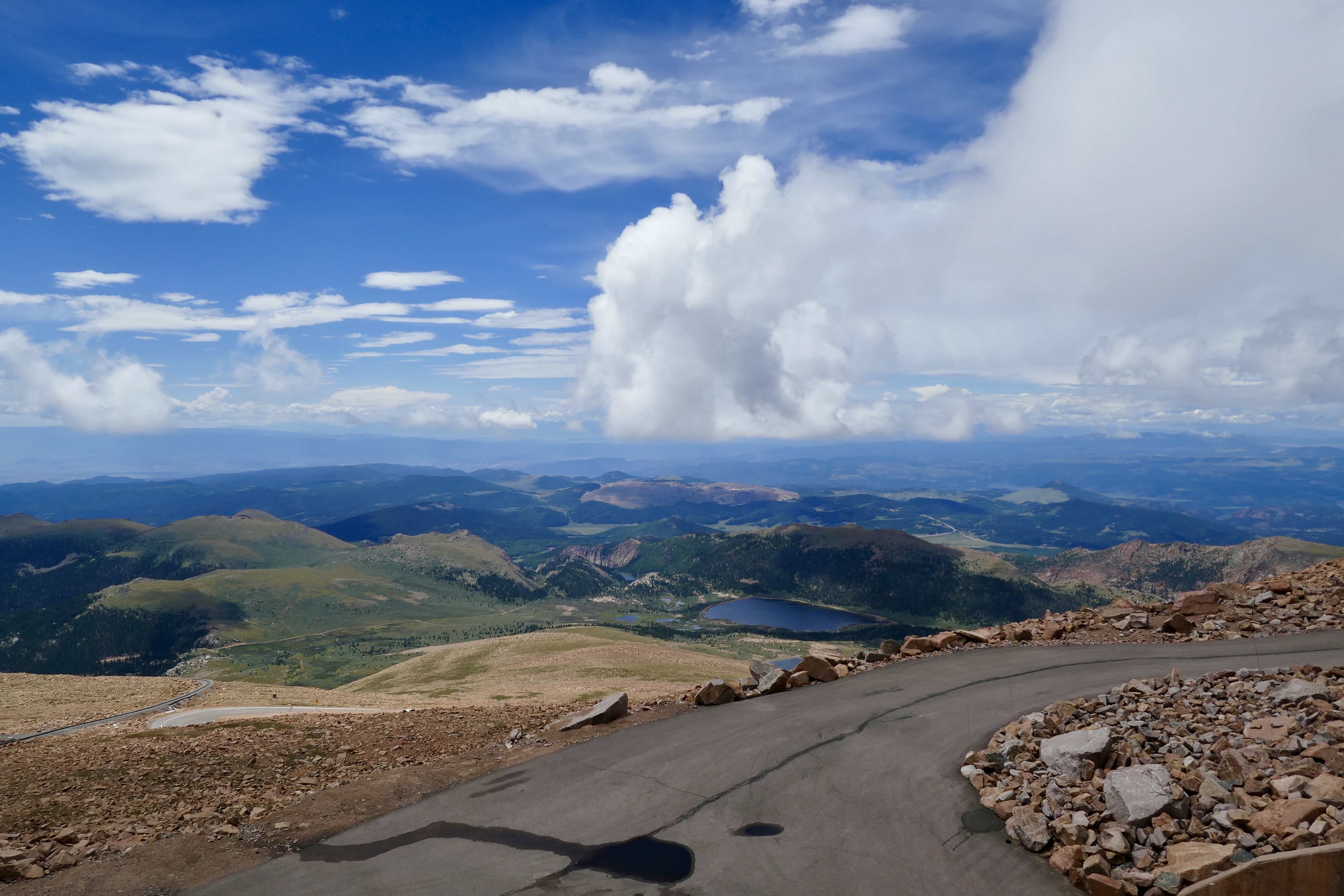
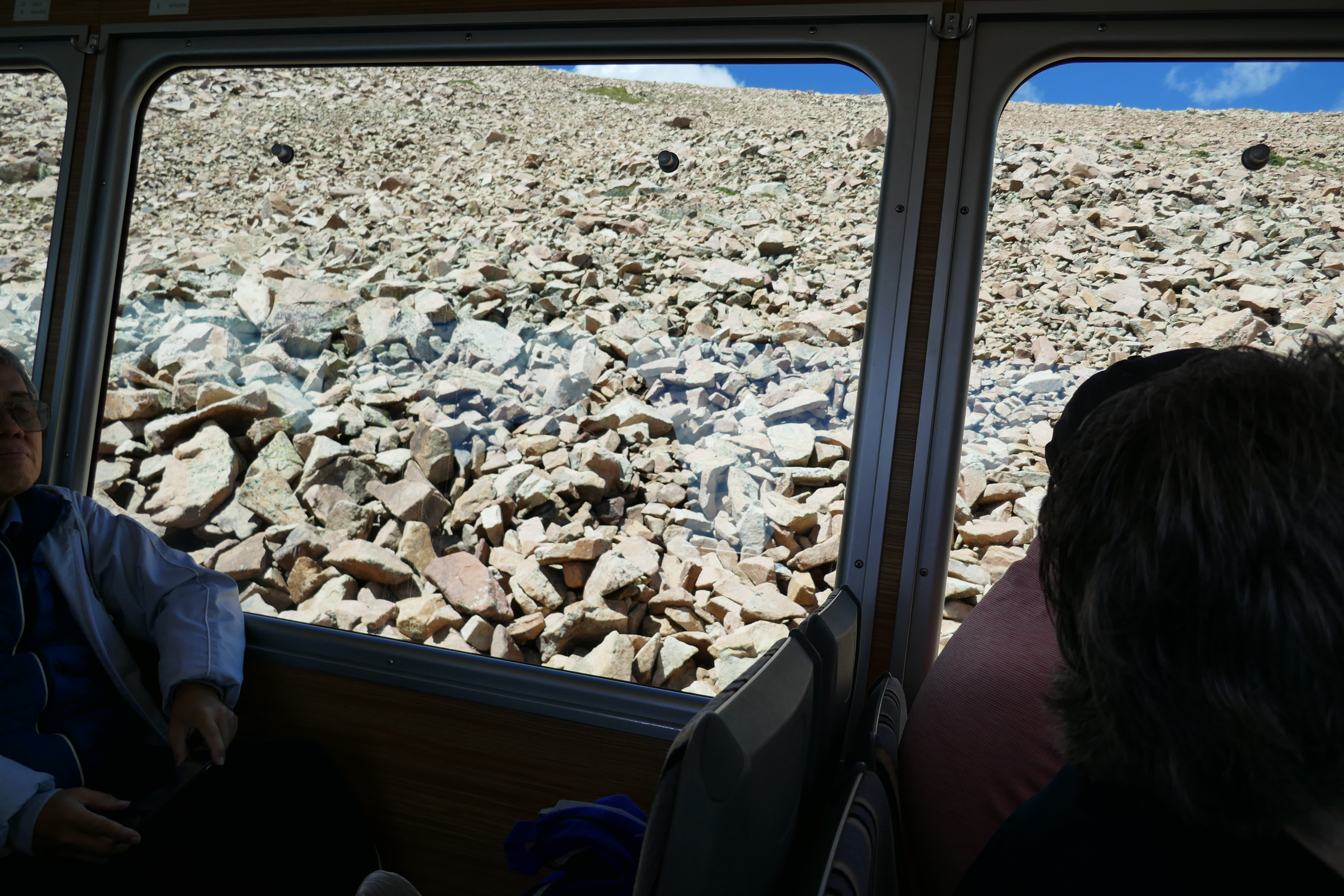
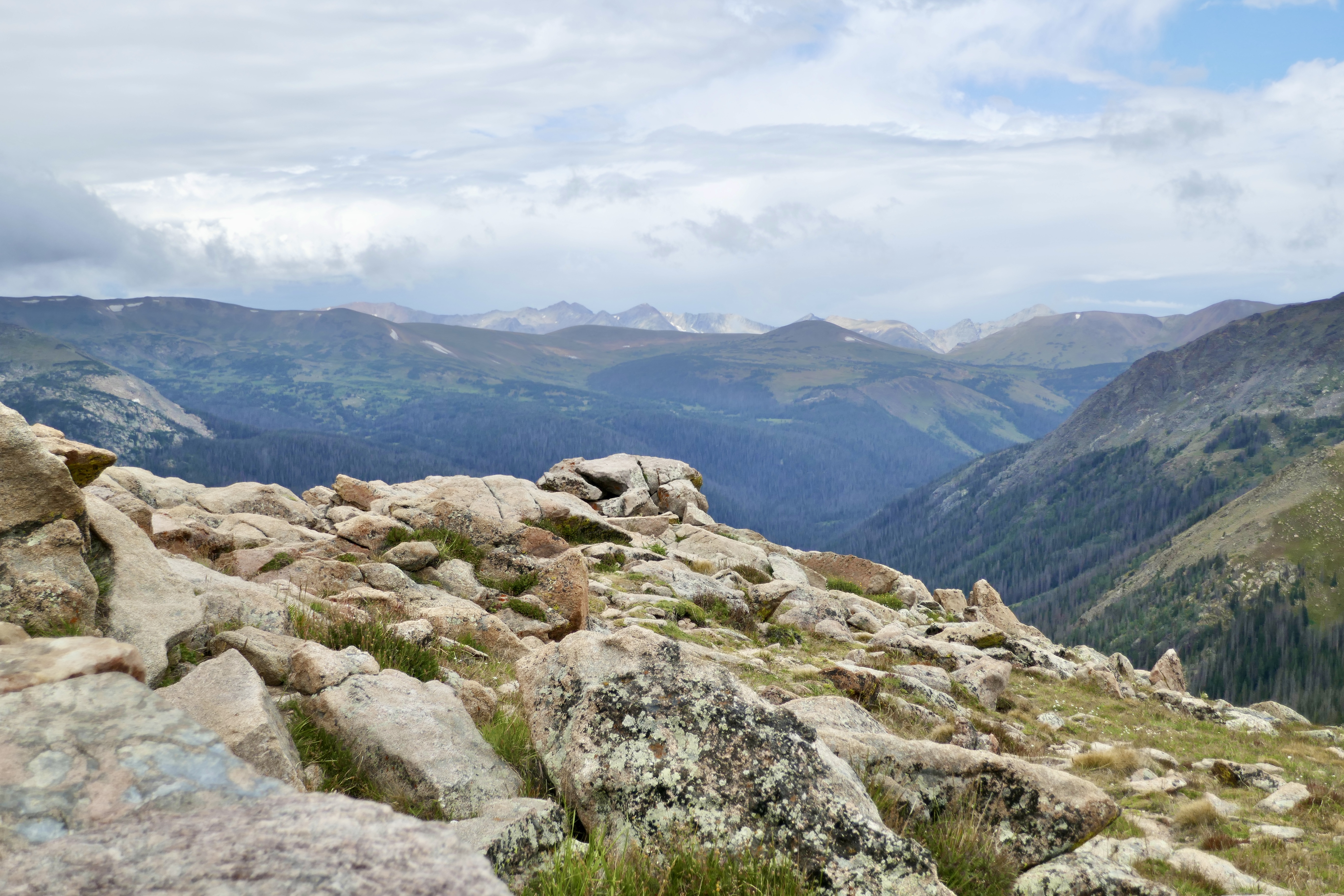
Trail Ridge Road is the highest continuous paved road in the United States.
It tops out at 12,183 feet of elevation, up in the rocky tundra.
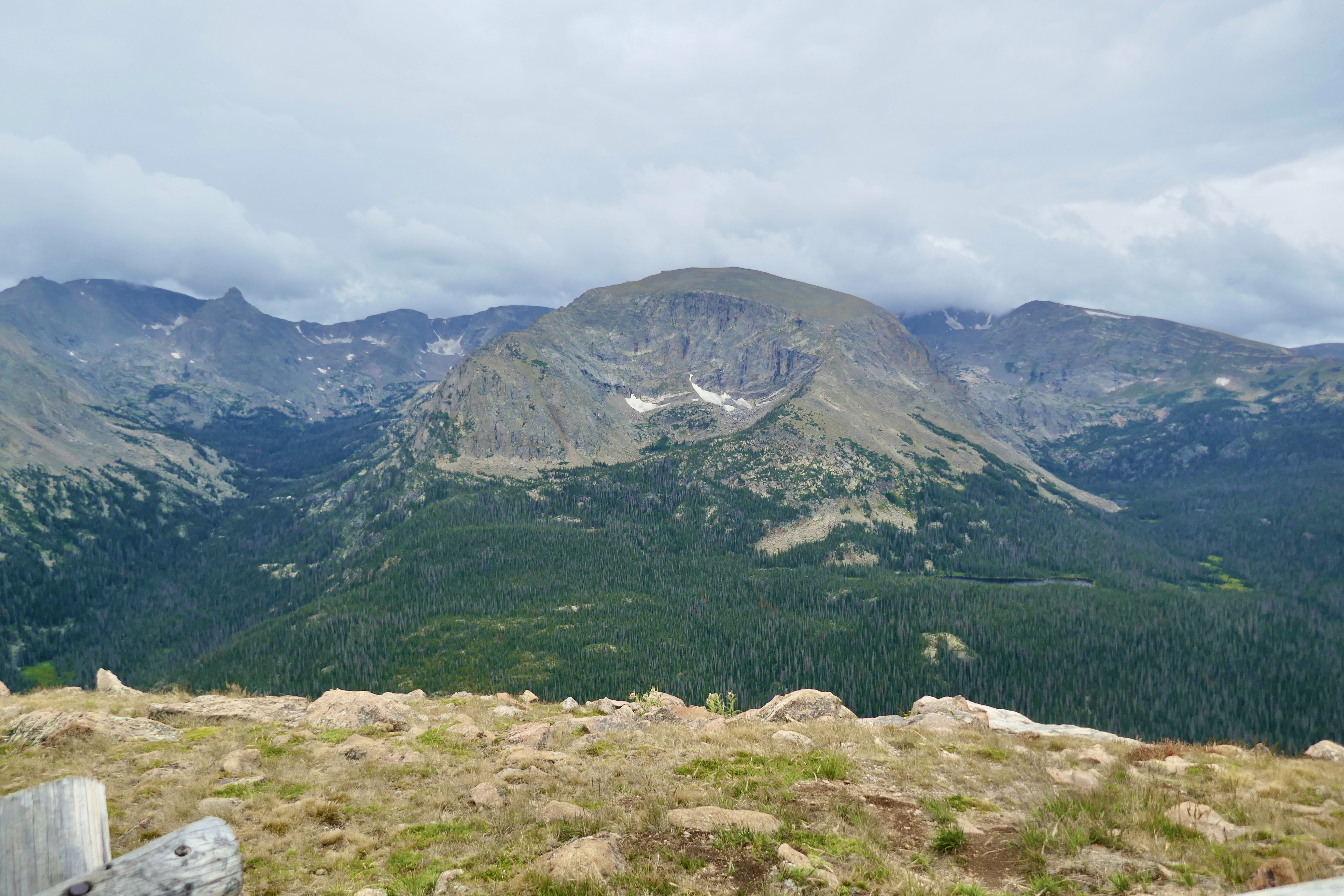
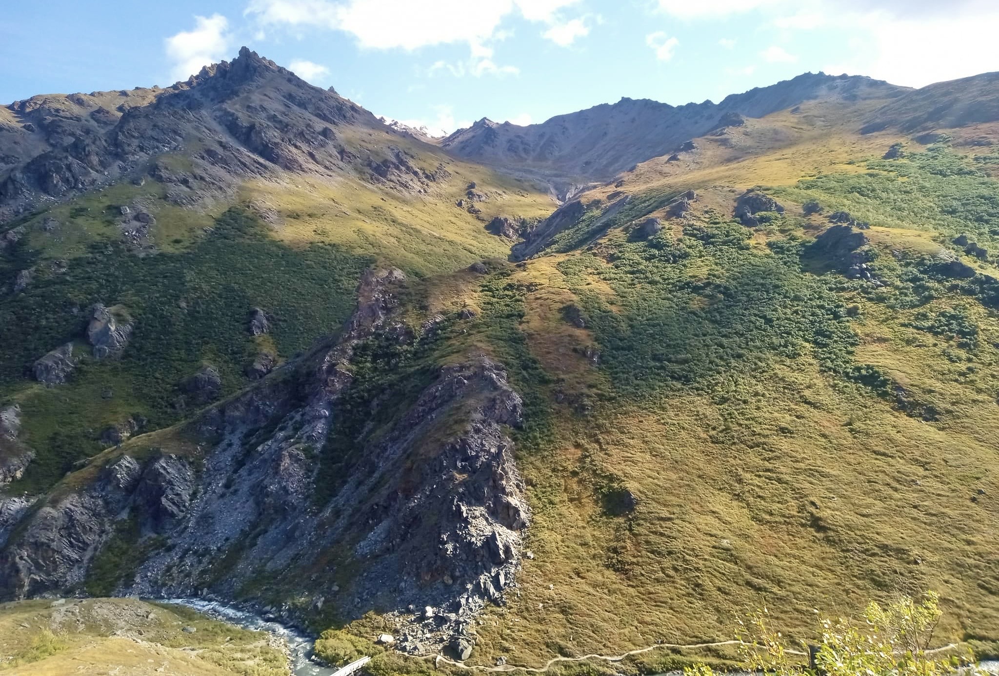
There are two small lakes in this pic, but I don’t know their names:
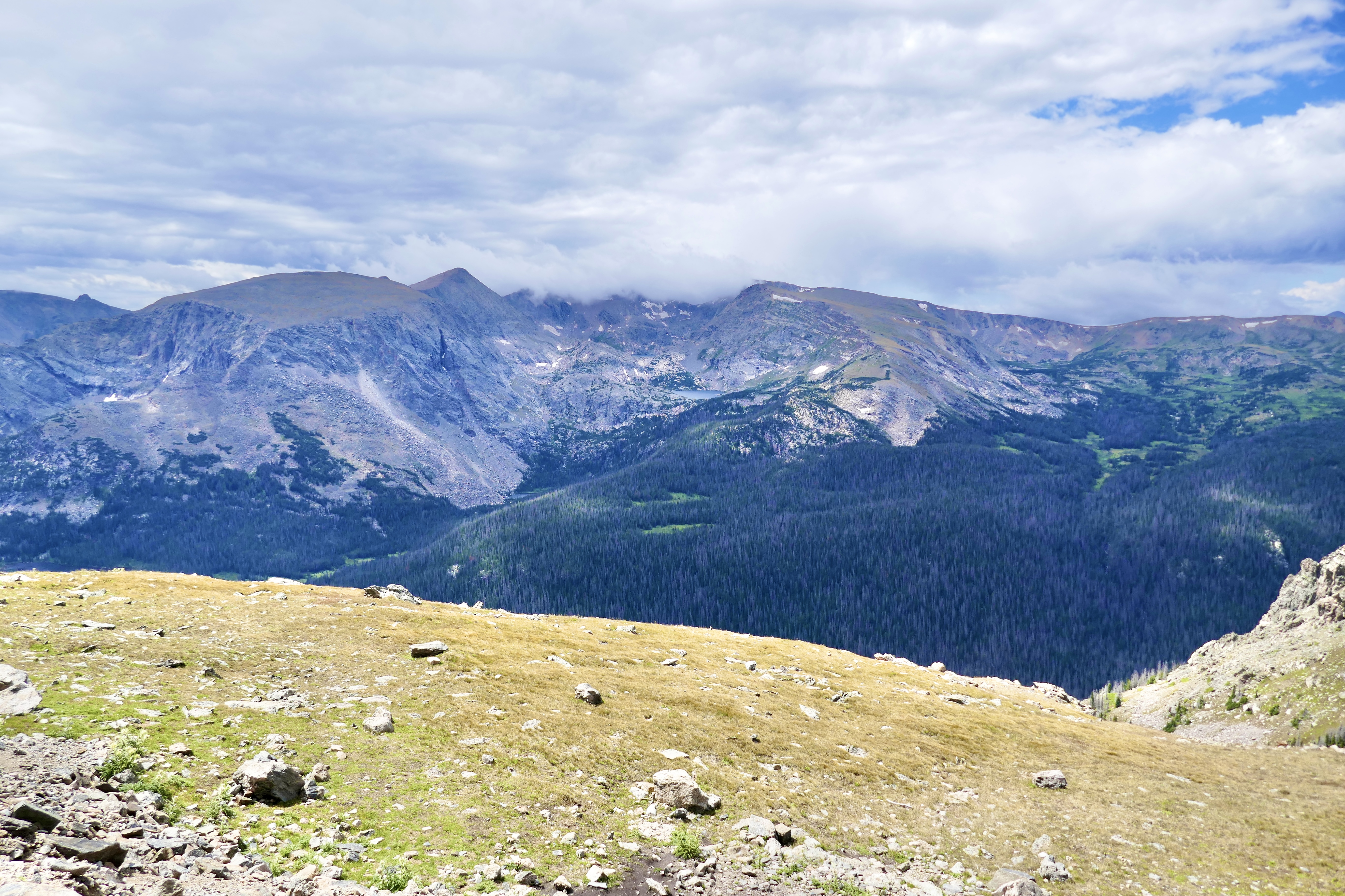
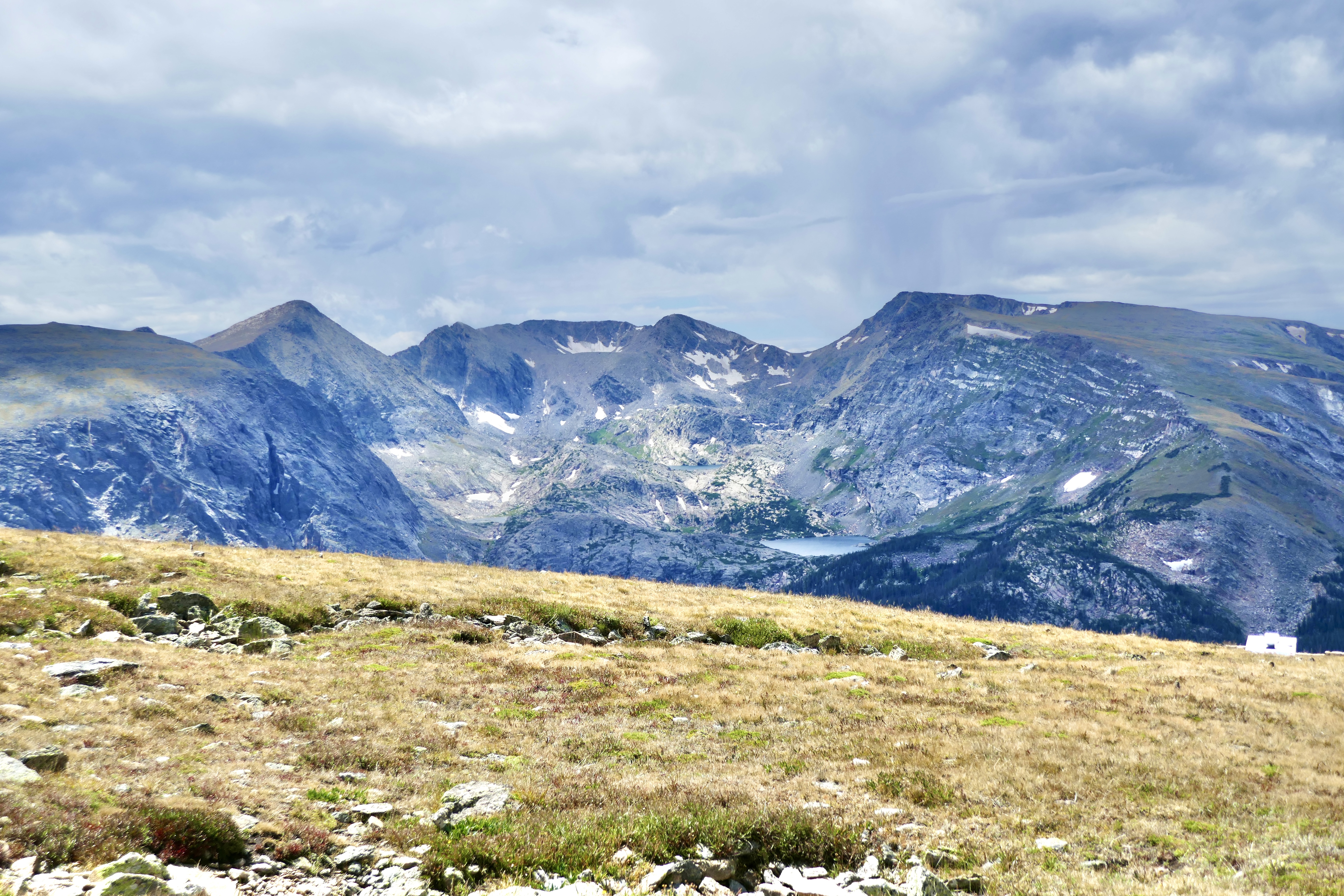
They look like pure snowmelt.

It’s chilly at that altitude, even in August.

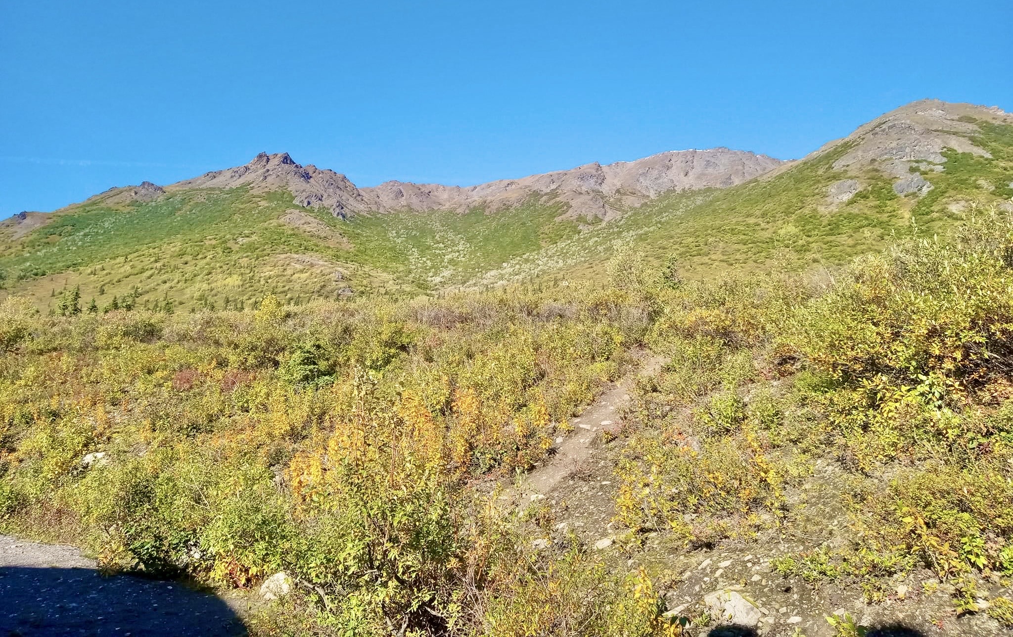
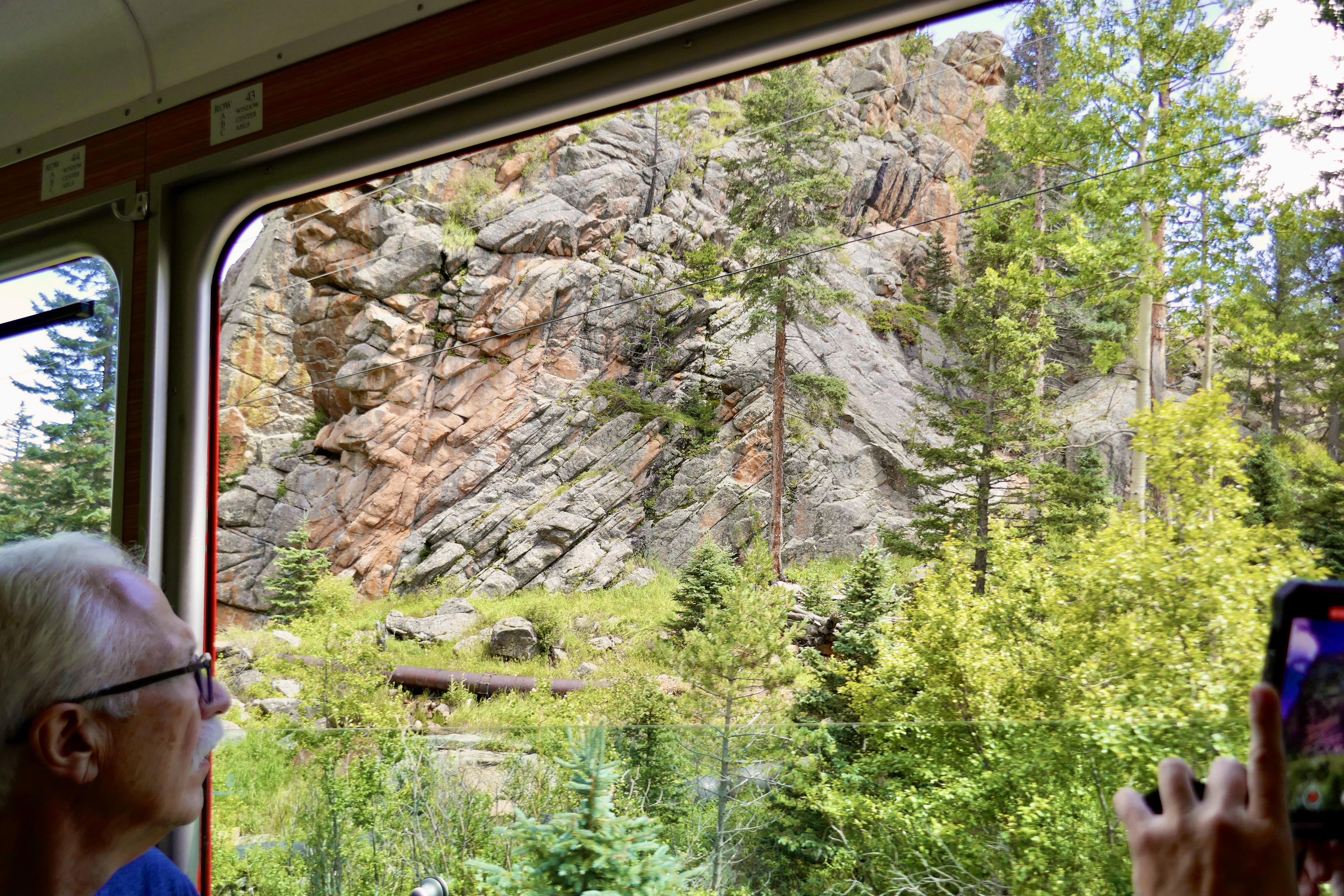
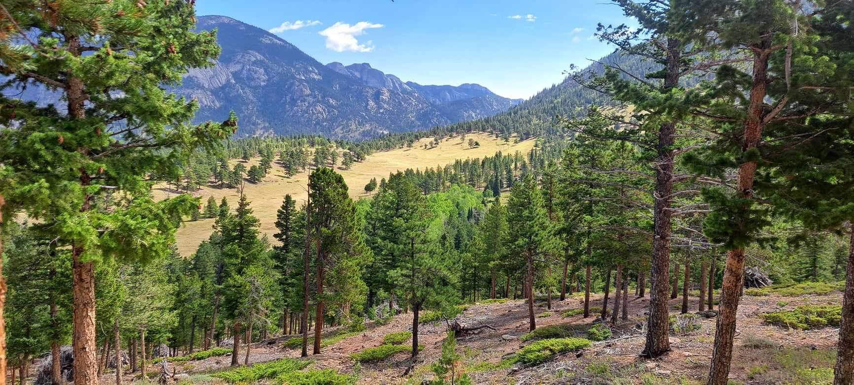
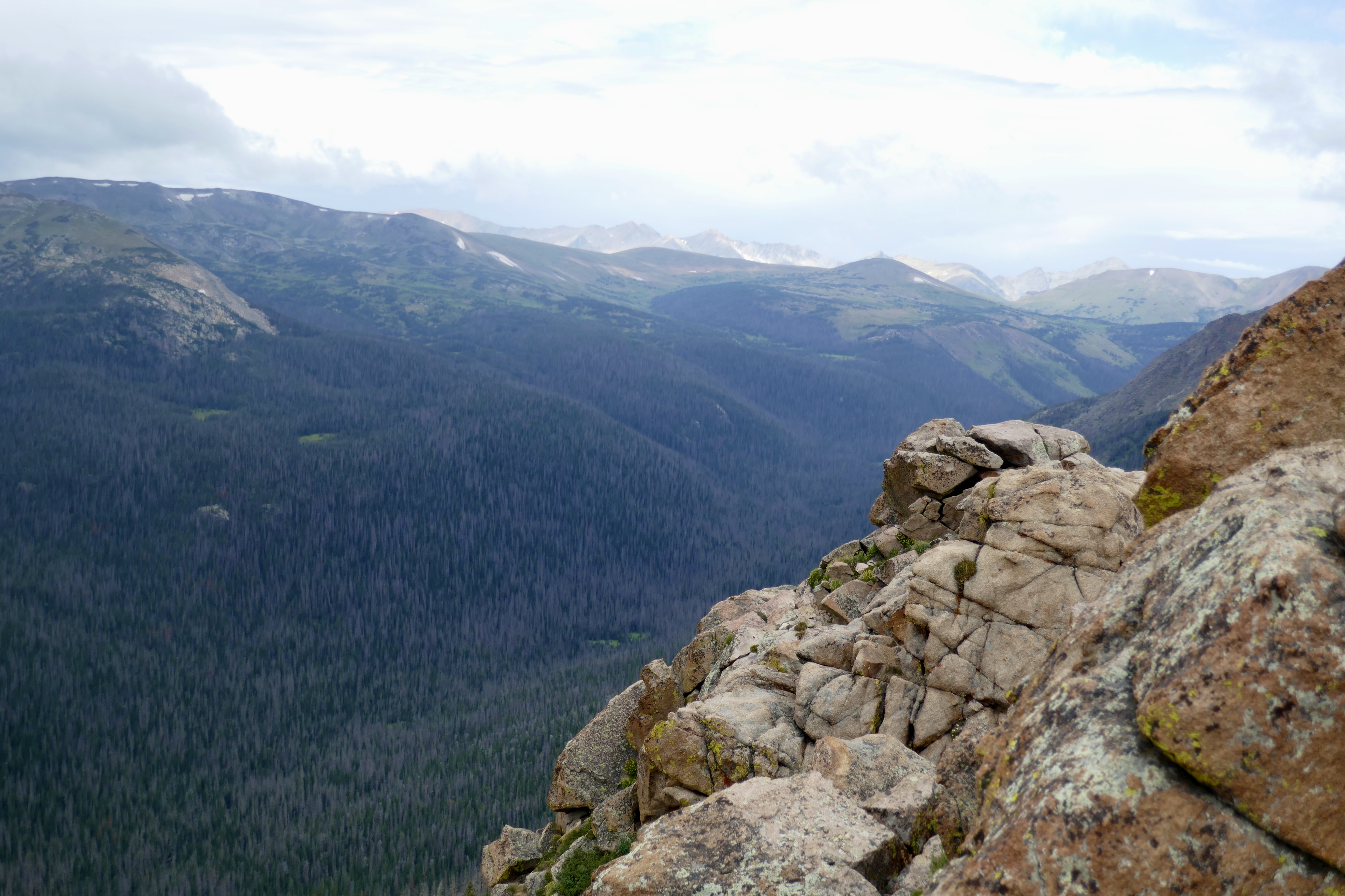
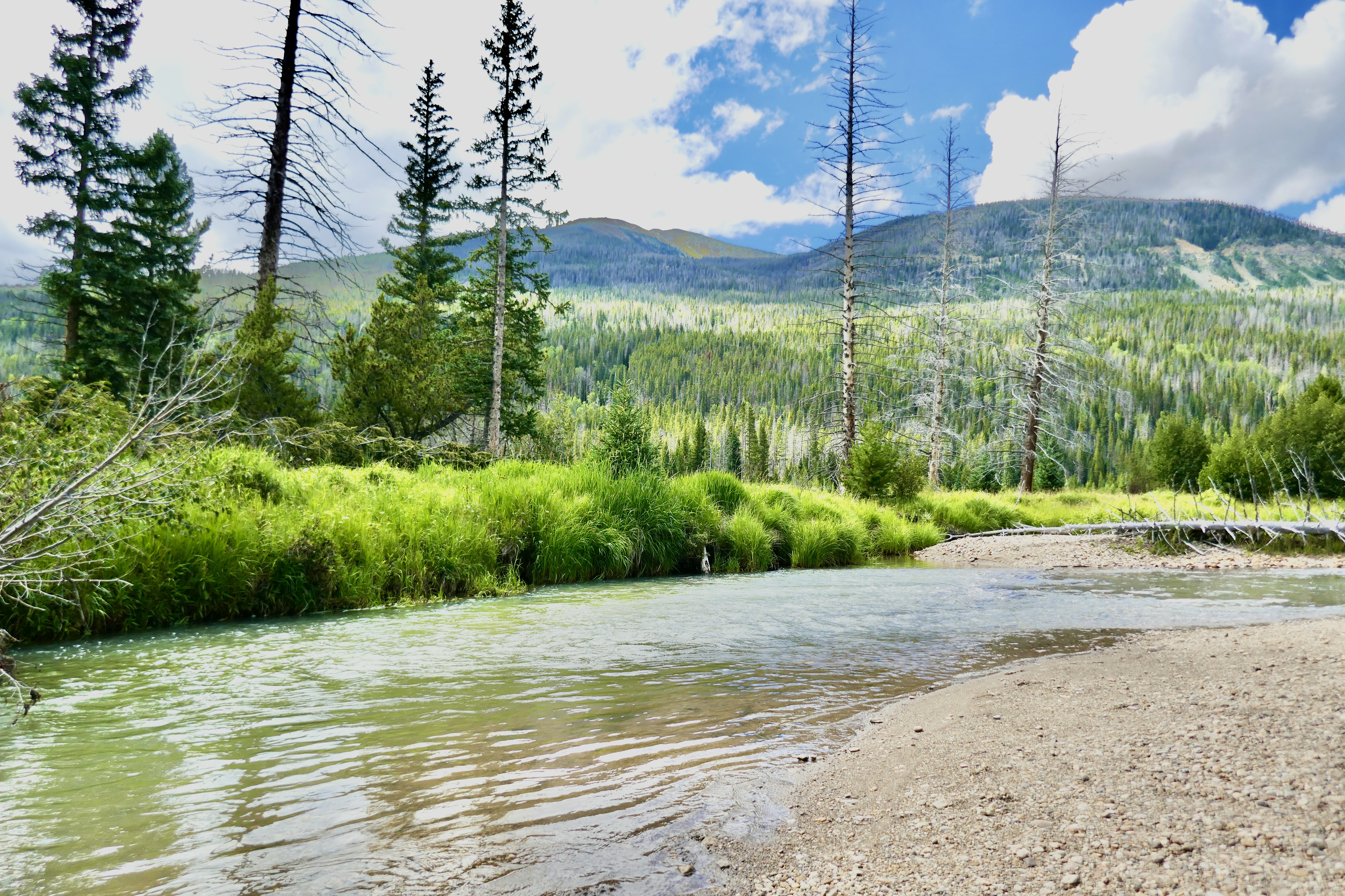
And then down the other side.
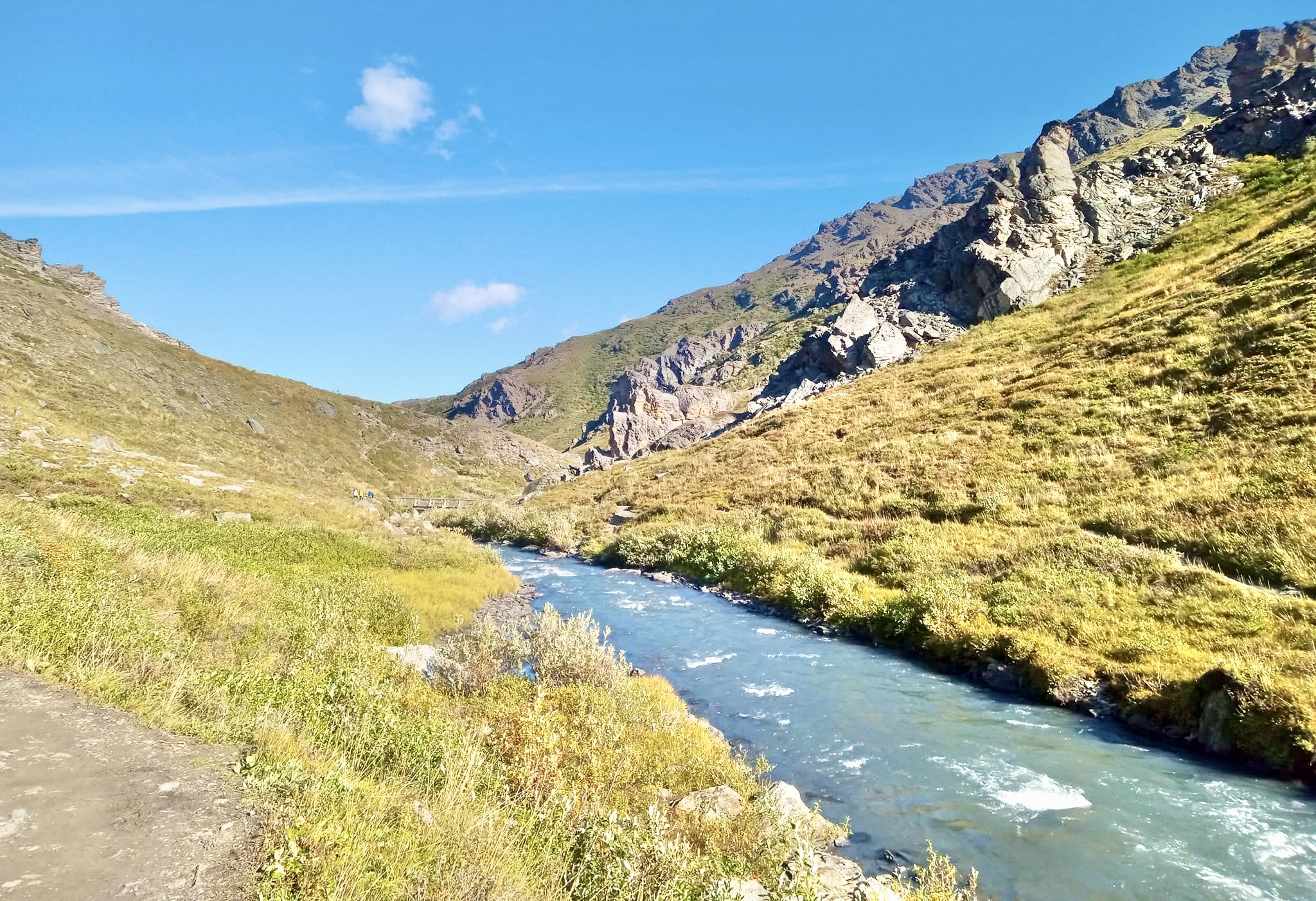
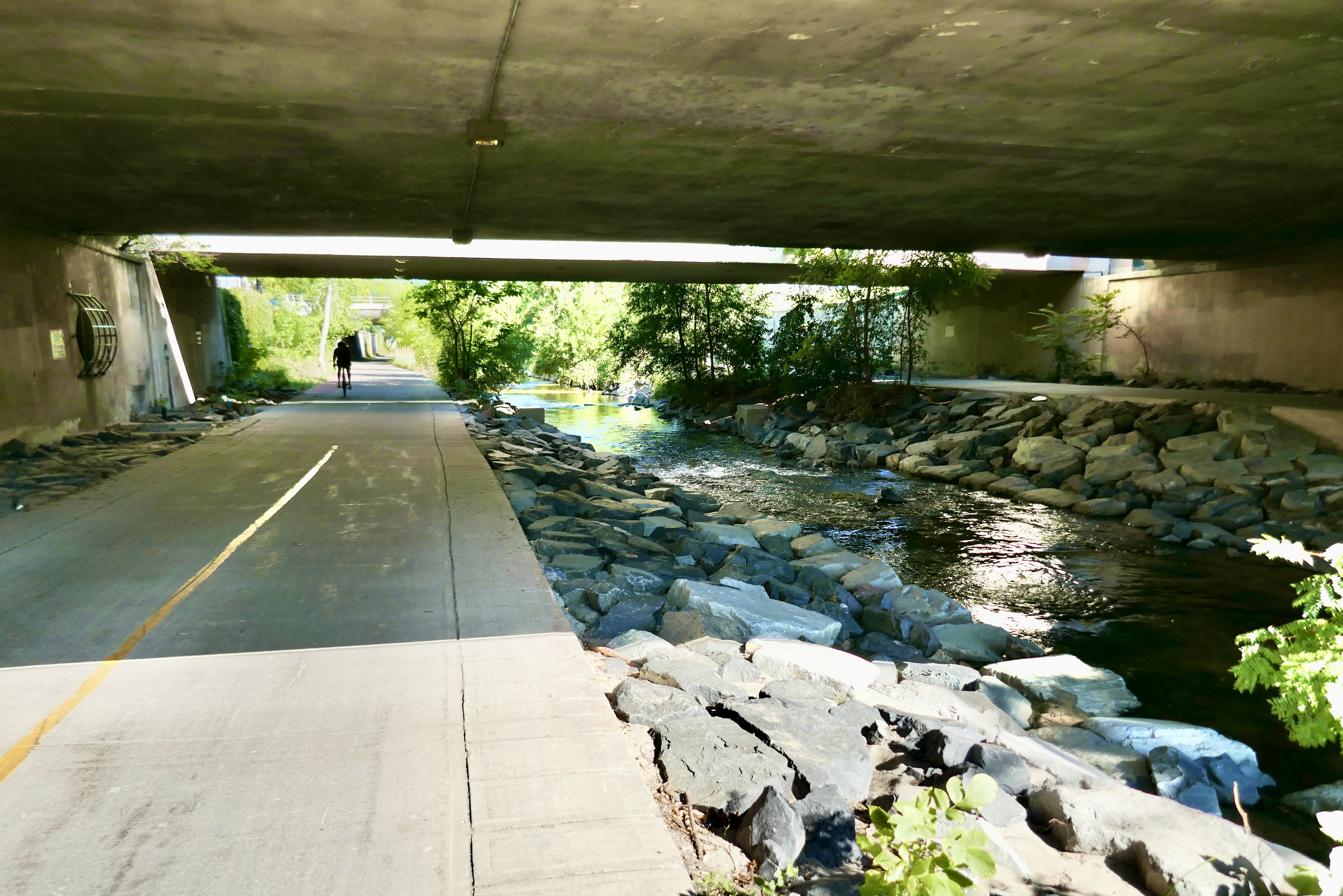
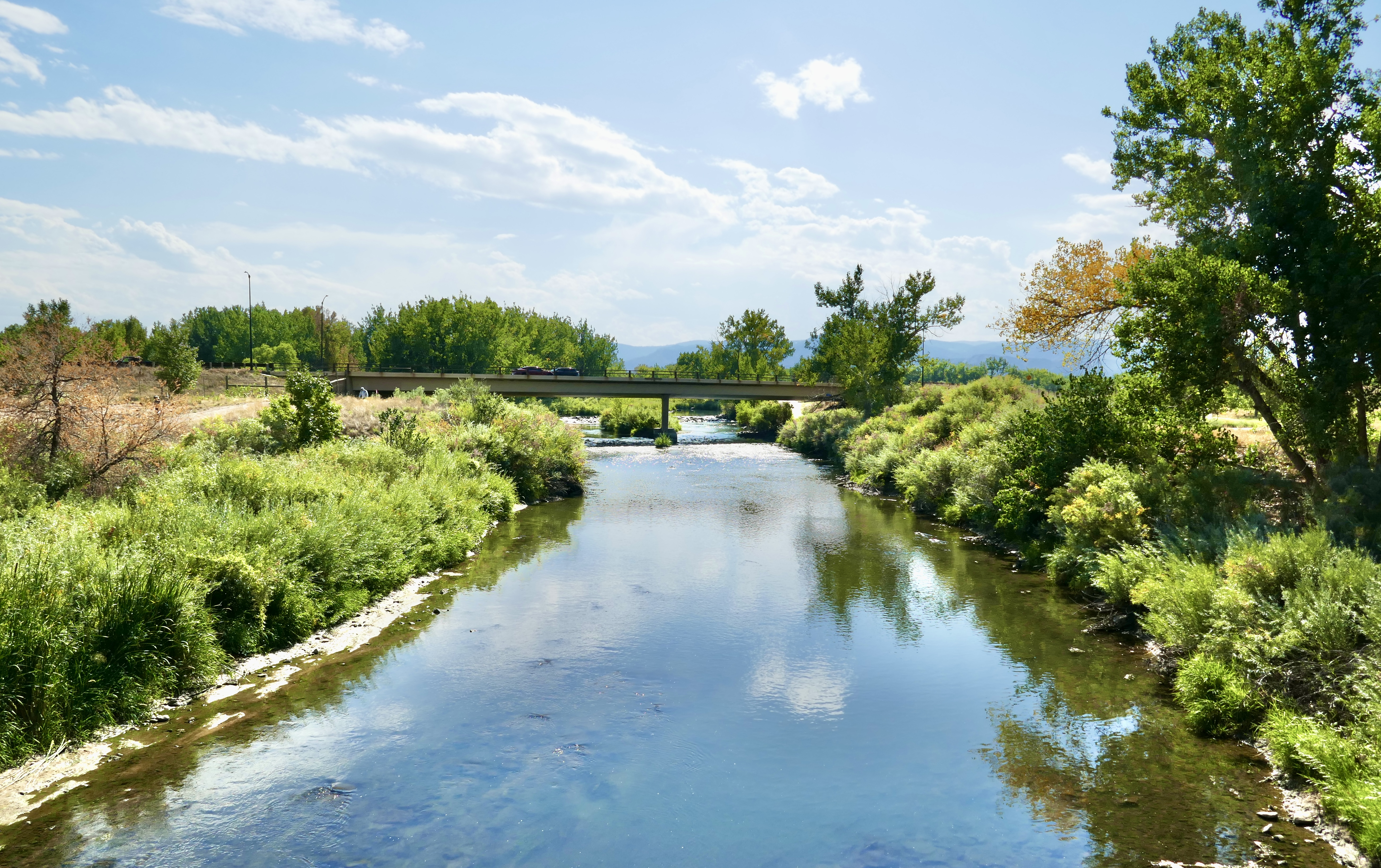
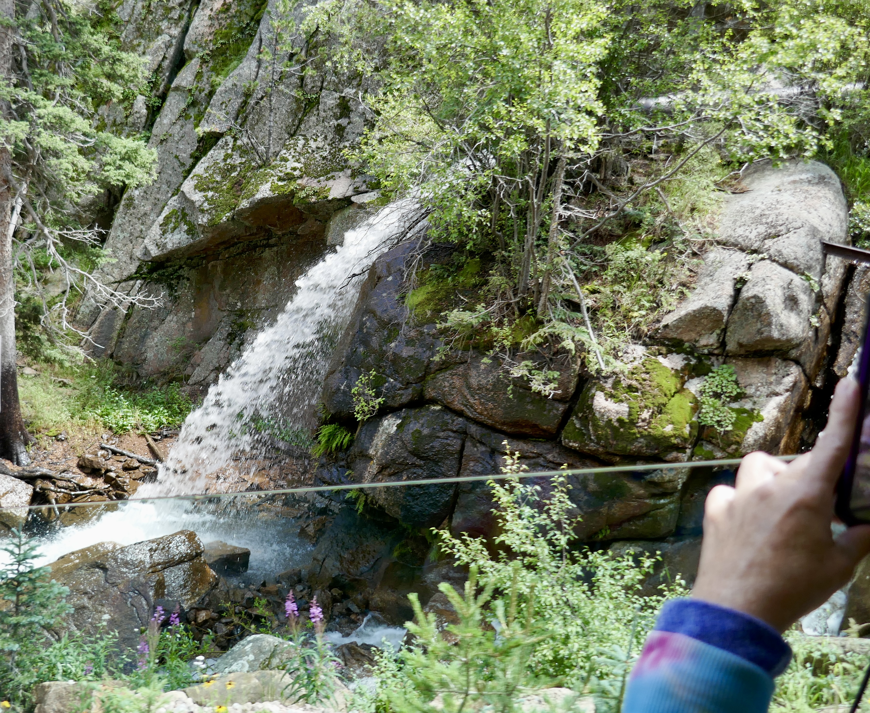
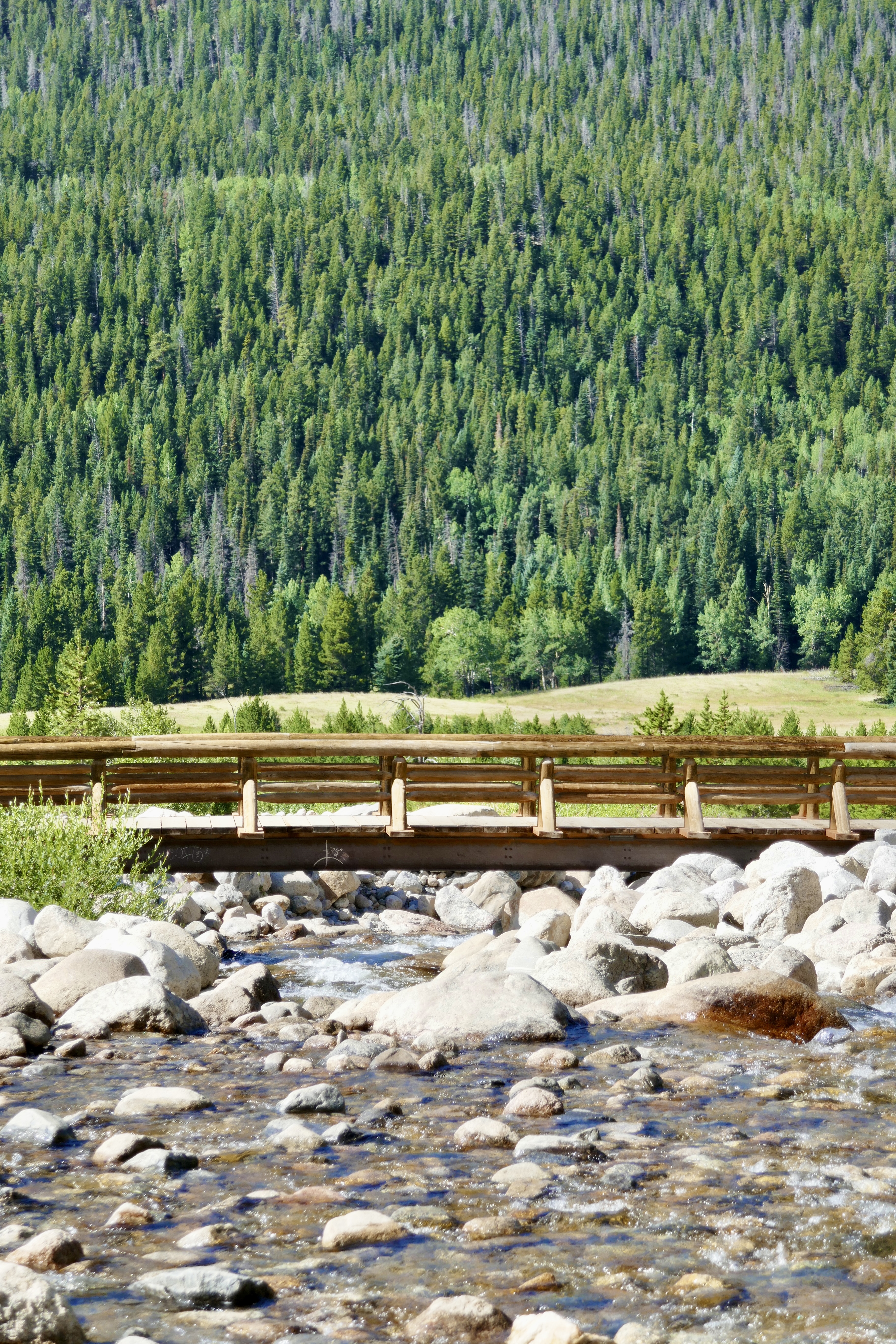
Near this bridge is where we saw the mink.

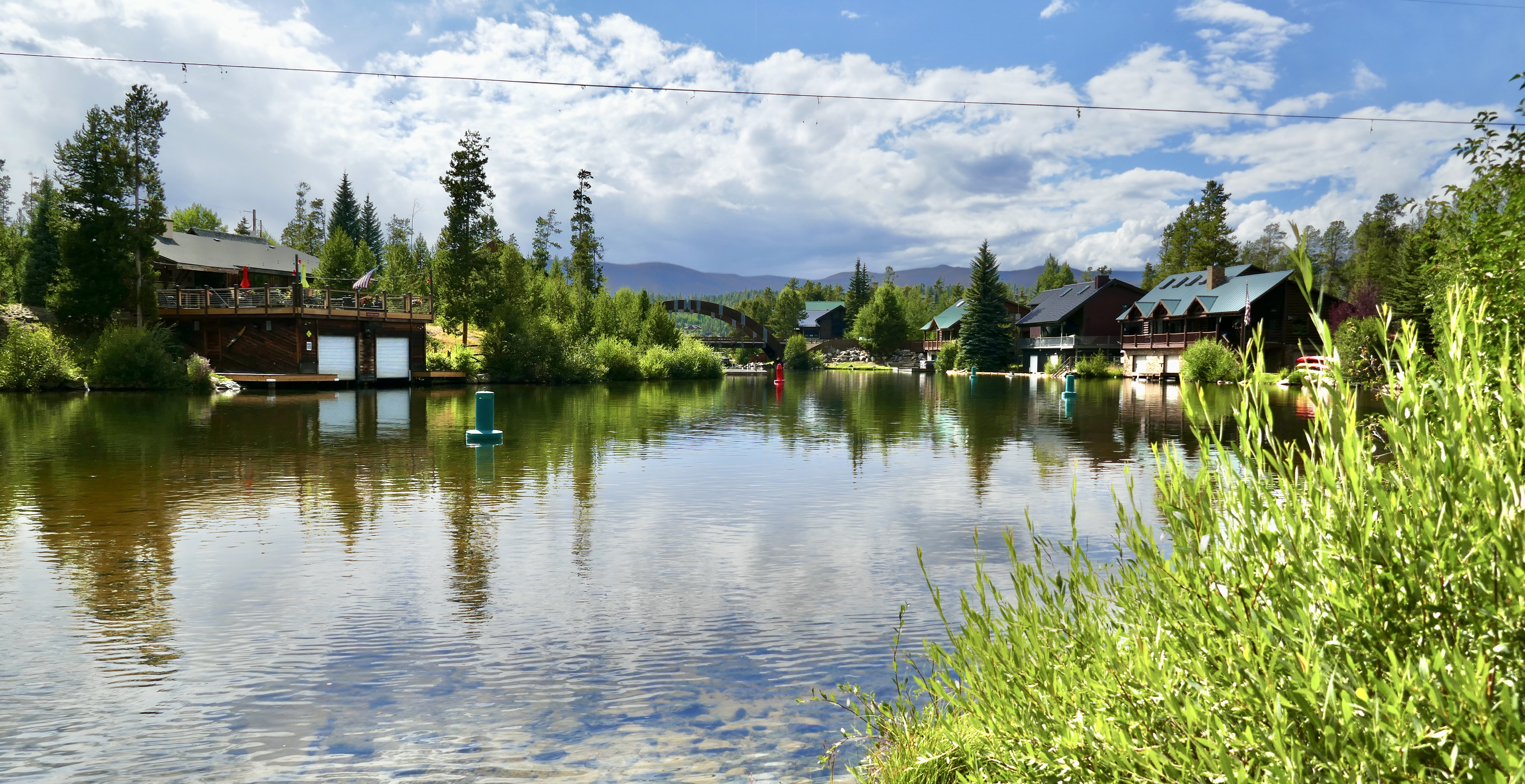
This was a little village we saw in Grand Lake on the way home. So pretty!
And that was our drive through Rocky Mountain National Park. I’d like to camp up there sometime and do a real hike, but we still need to upgrade our tent and sleeping bags so we don’t freeze.
More to come!